
ojo - Aug 23, 2011 5:37 am - Voted 10/10
Is this what..... you find on many summits over there?

Redwic - Aug 23, 2011 9:34 am - Hasn't voted
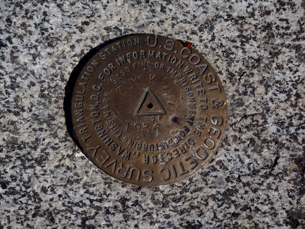
Re: Is this what..Yes. Many years ago (year 1879), the government created the United States Geological Survey (abbreviated as "USGS") to study the landscapes, natural resources, and natural hazards within the country. The USGS is also the primary organization that created the topographic maps still used today in our country.
Long before GPS devices were created or available, the USGS would mark many summits and notable highpoints with "benchmark disks". On many of those peaks the organization would triangulate the disks to determine a highest point; people can still find those 1-2 extra benchmark disks on many mountaintops.
USGS benchmark disks are not on every summit, and sometimes are on the incorrect (false) summit, but many people (including me) enjoy finding them. They are a link to a simpler, more exploratory time in our country's past.
ojo - Aug 25, 2011 3:56 am - Voted 10/10
Thanks.....for explaining, Redwic. I would enjoy finding them, too. Here, one of my "collections" are called MUGAS - they are the .. (excuse my un technical language) delimitation marks (usually painted on rocks) on the frontier between France and Spain. I must look out a foto...
Well, best wishes and thanks again. jane


Comments
Post a Comment