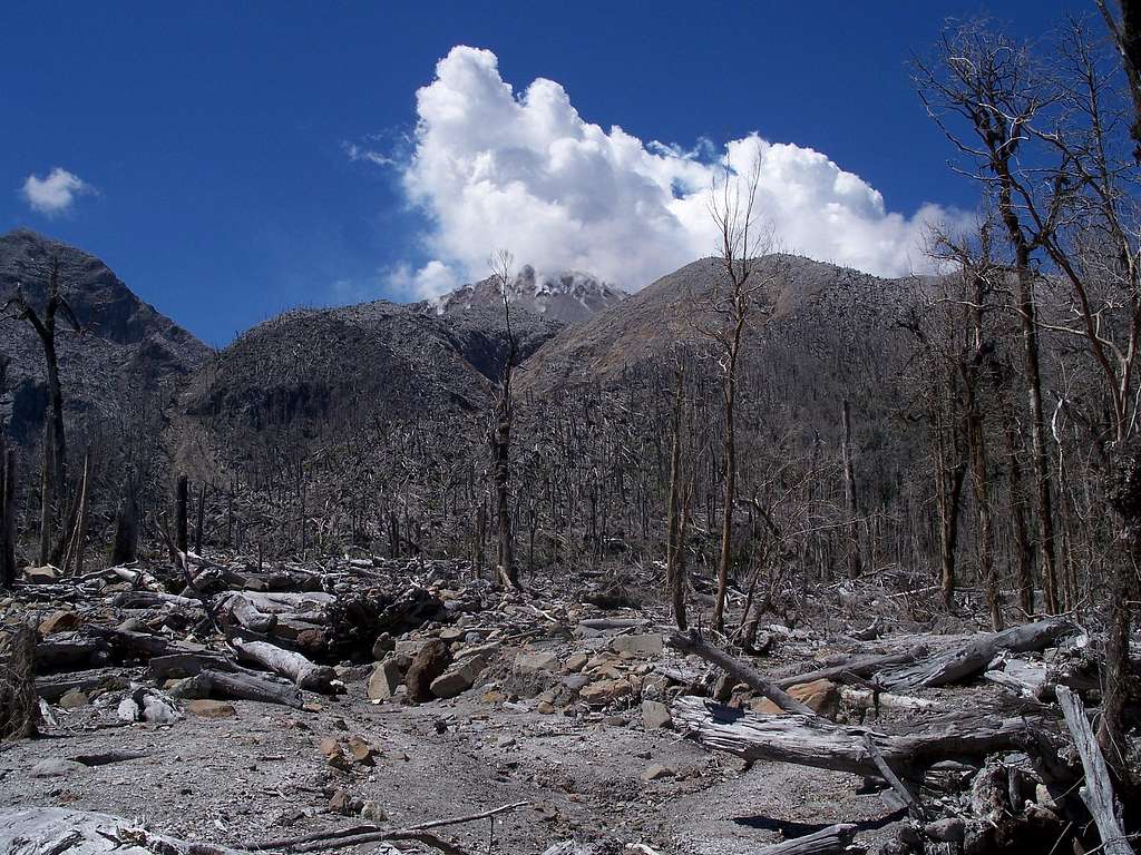
Once out the trees you get your first good look at the dome and the route inbetween. The route described in the main text proceeds directly ahead, then climbs the light coloured scar on the left of the photo, before cutting left about 2/3 of the way up then climbing further up and curving round to the right to hit the ridge crest. The route proceeds along the ridge crest to the crater rim and then down into the crater. An alternative route is to head instead along the right hand side of the river and up to the high point visible in the centre-right of the photo. Getting between the two on the rim is possible but not for the remotely feint hearted.
