|
|
Trip Report |
|---|---|
|
|
44.11205°N / 73.91206°W |
|
|
Apr 6, 2019 |
|
|
Hiking |
|
|
Spring |
Photos & Logistics
Pics: https://photos.app.goo.gl/VNUjp7EHvqdVQXfy8 Mileage/Duration: 15 mi./14 hrs.
The Story
Most of my focus for the last several years has been on climbing. It is hiking, bushwhacking, and slide climbing, however, that led me to vertical endeavors. Trips with a long hike as part of the overall outing guide me far from the road noise of some climbing areas. I need these wilderness experiences to counterbalance stresses of life.
With the huge snowpack, I thought there might be some ice in a particular nook of Panther Gorge that I’ve been looking at since 2014. Loren Swears often accompanies me on some of the more robust trips (like a 22-hour day several years ago). Thus he agreed again when I suggested that we use the snowpack to our advantage and enter the Gorge from high on Marcy. The forecast seemed reasonable: winds from the WNW at 25 M.P.H., temperatures a touch above freezing, and partial clearing in the afternoon. The forecast during the prior week offered freeze/thaw conditions. I hoped the fluctuations would build the ice on the proposed route.
We started walking on bony trail conditions in a light drizzle. God’s sense of humour came out when the freeze elevation (the point at which all the ice/snow on the trees melts) fell in synchronicity with our pace. Thus the trees rained on us for the first five miles. We were soaked, but picked up windy conditions near the former Plateau Lean-to site. We also met our first hiker; a fast-mover in trail-runners who didn’t own snowshoes.
This also marked the point where we lost the trail and after a few minutes of wandering found it once again. Ever deepening snow and a firm base offered easy walking conditions and we eventually located the Phelps Trail intersection. I recognized several of the nearby treetops and knew the trail sign was buried in the snow one of the trees. That’s when our trail-runner friend caught up to us. We explained that the trail meandered and there’s no easy way to navigate without a map/compass when you can only see 100’ feet ahead in fast-blowing fog. He opted to turn around and give up his plans for Marcy/Skylight/Gray.
A few more minutes of walking placed us at our jump-off point where I trek left and bushwhack down 600 vertical feet. This day, the normal terrain markers were vague to say the least. Only familiarity with the area gave me confidence to continue. Thus we dropped partway down a gully and side-sloped along the usual ridge line above a small cliff band (which was now just a steep bank). Once down the bank, another minor gully guided me. I recognized the spacing of the forest on the 45-degree slope. Roughly 30 minutes later I “felt” open air ahead…one of the many cliffs in Marcy’s north end.

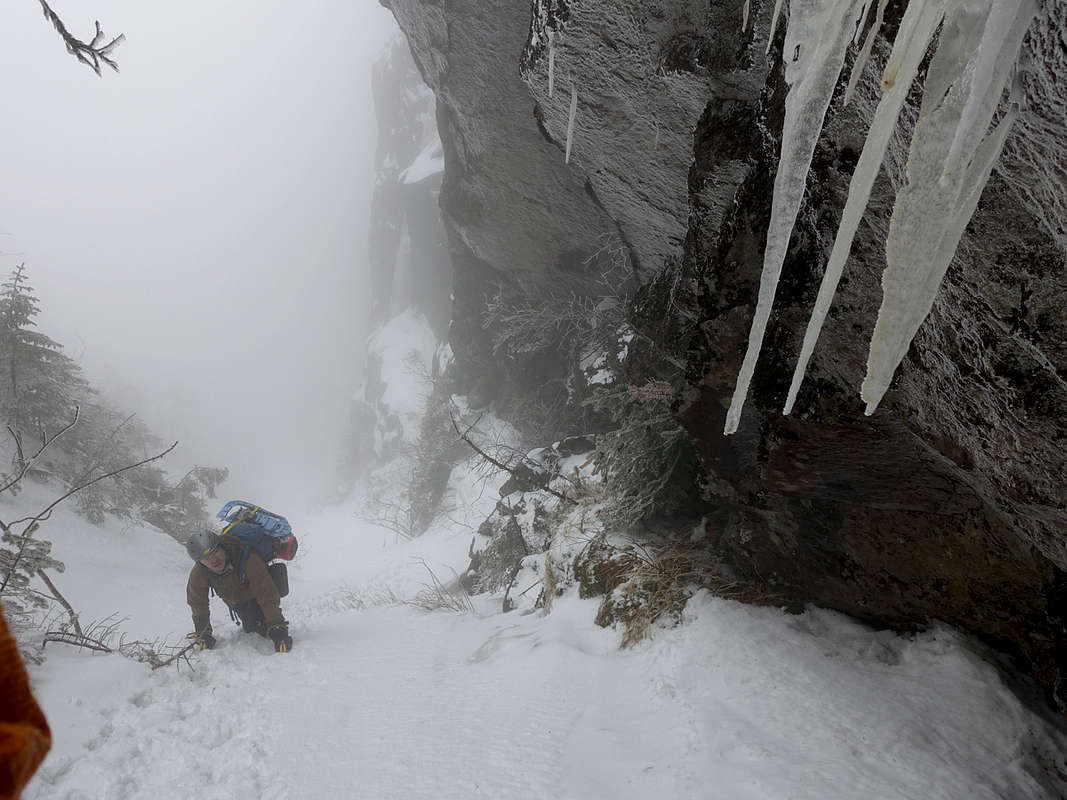
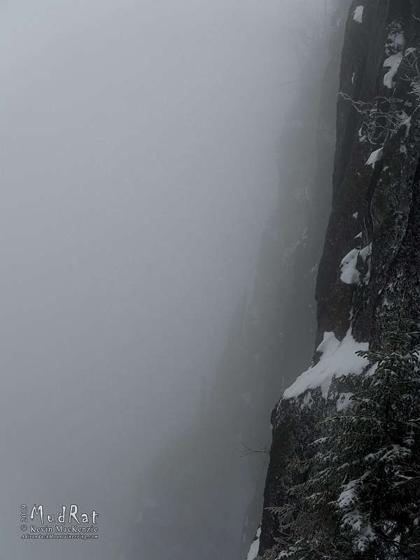
One of the few non-technical entrances, a 5-10’ wide corridor at the top of a 50-degree slope, was soon at our feet. The ramp dropped away into the abyss…the fog was thicker and the beaver ponds to the south appeared as ghostly apparitions during the occasional thinning of the clouds.
The gully is prone to avalanching. I’ve walked over debris at its base several times during the last four years. Not this day. It was as firm as the snowpack in the forest. We descended into the depths where I eventually spotted a free-standing pillar that marked the Panther’s Pinnacle rock climbing route. Its gray mass blended with the clouds. We finally reached the bottom of the gully and the vertical trap dike on Marcy.


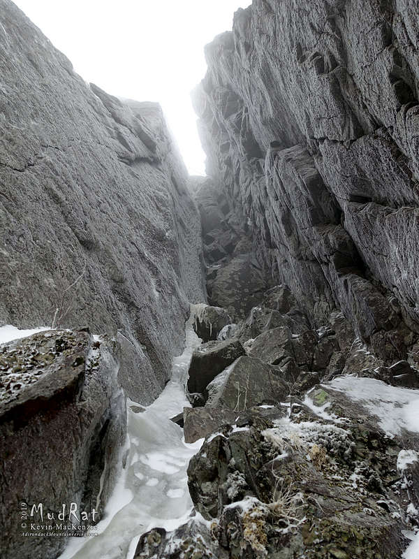
Our goal was to climb the 160’ chimney, but limited visibility to assess the route, rotten ice at the bottom, and a variety of other reasons made me decide against it after an hour’s study. I’m not one to pout about marching 50 pounds of gear up 4,000 vertical feet over 8.5 miles; it is part of the game and happens every year on either ice or rock. Loren’s also not one to care if we “get something done” or not…a nice trait in a partner. Once I’d made up my mind regarding the climb, I simply enjoyed the ambiance of the area and relaxed. It was good to me “home” enjoying the familiar sights and sounds.
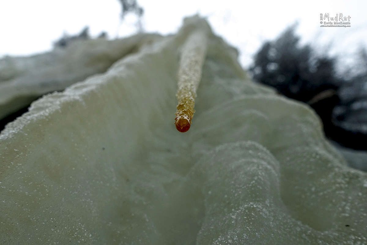
The warming temperatures finally caught up to our elevation at 1:00 p.m. Veneered tree branches shed their coatings. The sound of falling ice shards resounded through the chimney and off the cliff. It was soon time to re-climb the ramp into the forest. Still curious about a few details, I bushwhacked over to the top of the chimney which was barely recognizable. The snow had filled in a large hole at its top (near a huge chockstone). The ice at the top appeared somewhat compromised. Spring was taking a toll on the frozen structures of High Peaks.
The requisite exit back up to the trail was made slightly easier by the firm snowpack, but 600 vertical feet up a steep slope was still tiring. Upon arrival, the sun was still obscured by blowing clouds. The walk out was uneventful until at 5:00 p.m. and two miles from the trailhead we happened upon two people. They enthusiastically asked if we thought they could “make” Marcy’s summit. A little befuddled (since they had no gear/water/food/packs/jackets and only wore low-top sneakers), I replied that it was a good way to die. They assumedly listened since I didn’t read about any rescues the following day! Fourteen hours after our 4:30 a.m. start, we ended another adventure in Panther Gorge.


