|
|
Area/Range |
|---|---|
|
|
46.36304°N / 11.18683°E |
|
|
Hiking |
|
|
Spring, Summer, Fall, Winter |
|
|
6942 ft / 2116 m |
|
|
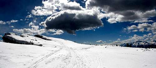
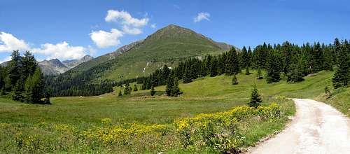
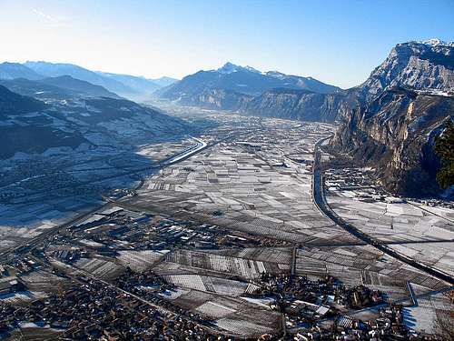
The Non Valley
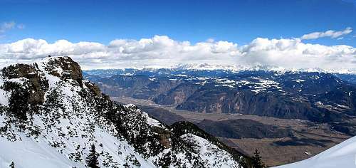
The Non Valley ( the Anaunia, is its historical-literary name), is a wide tableland in the western part of Trentino, it is bordered from north by the Maddalene range, from west by th Brenta Group, from east Catena della Mendola-Roen-Cime di Vigo. These mountains, which are not very high, form a range which, interrupted only by the Passo della Mendola, runs in a north-south direction from the Monte Macaion to the Roccapiana, the most representative peak of the Cime di Vigo. Therefore, the eastern border is clearly defined and consists of the Val d´Adige, the upper section of which is in the province of Bolzano. The geological formations here consist primarily of sedimentary rocks (dolomites and limestones).All these mountains surround and protect the territory from cold, northerly winds and assure a favourable climate.The valley is rich in water and alpine lakes, the artificial lake of Santa Giustina, the Noce river which carves a narrow canyon, and infinite number of springs and streams.The geological formations here consist primarily of sedimentary rocks (dolomites and limestones).All these mountains surround and protect the territory from cold, northerly winds and assure a favourable climate.The valley is rich in water and alpine lakes, the artificial lake of Santa Giustina, the Noce river which carves a narrow canyon, and infinite number of springs and streams.
Borders
North: Province of Bolzano, from Palade Pass to M. MacaiònEast: Adige Valley and province of Bolzano
South: Piana Rotaliana and La Rocchetta
West: Brenta Group, the fiume Noce and S. Giustina Lake.
Access
It is accessible by road from Bolzano to the Northeast, from Merano to the Northwest or from Trento to the Southeast.South: Trento - SS 43 : From S. Michele all'Adige to Mostizzolo
North: Bolzano - SS 42 : from Palade Pass to the Mendel Pass
North: Bolzano - SS 238 : Palade Pass
Summits
Hiking routes
| Macaion 1806 m. | path 513 | Fondo - Smeraldo lake |
| Penegal 1737 m. | path 508 | Fondo - Falchetto Refuge |
| Roen 2116 m. | path 521 | Mendel Pass - Genzianella Refuge |
| Corno di très 1812 m. | path 503 | Coredo - Sores Refuge - malga di très |
| Roccapiana 1873 m. | path 507 / path 503 | Monte di mezzocorona -malga Craun |
Sports
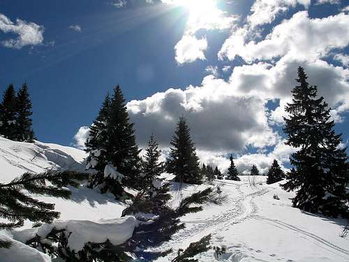
"The Valle di Non is much more than just mountains! You can experience it by foot, by bicycle, or comfortably from your vehicle: immersed in nature, history, legends and incredible sites."hiking, climbing, mountain bike, alpine skiing, snow shoes, ice skating,cross country skiing.
Via ferrata Favogna
Sentiero Attrezzato M.Roen
Ferrata Burrone di Mezzocorona
Archaeologic history
Museo Retico ArcheologicoAlpine prehistory and the conditions and identities of the ancient populations who lived in the fascinating and mysterious world of the Alps: I RETI
Tito Livio, nella sua "Storia di Roma", V, cap.33, afferma
«Tuscorum ante Romanum imperium late terra marique opes patuere... Et in utrumque mare vergentes incoluere, prius cis Appenninum, postea trans Appenninum coloniis missis, quae trans Padum omnia loca - excepto Venetorum angulo - usque ad Alpes tenuere. Alpinis quoque ea gentibus haud dubie origo est, maxime Raetiis, quos loca ipsa efferarunt ne quid ex antiquo praeter sonum linguae nec eum incorruptum retinerent».
"Il potere degli Etruschi, prima della supremazia dei Romani, si stese largamente sulla terra e sul mare….Essi posero le loro sedi sulle regioni che si affacciano sui due mari (Tirreno ed Adriatico n.d.) , prima al di qua dell’Appennino, poi, mandando al di là di esso delle colonie, occuparono tutto il territorio al di là del Po fino alle Alpi, eccetto la zona dei Veneti. Senza dubbio questa è l’origine anche delle genti alpine, specialmente dei Reti, resi così selvaggi dalla natura stessa dei luoghi che della loro origine conservarono solamente il suono della lingua e nemmeno questo incorrotto"
Alpine Rescue
• Emergency Rescue: 113• Patient Transport - Red Cross: 118
• Fire Department: 115
• Alpine Rescue - Fondo Headquarters: 337/458853
• Alpine Rescue - Cles-Rumo-Bresino Headquarters: 337/458900
For weather and avalanche conditions in Trentino look at this pages:
wetterzentrale
Meteotrentino
Meteo Alpin
Società Meteorologica Italiana
Maps and books
Kompass : " La strada del Vino" 685 1: 25000Kompass : Guida Escursionistica 984 " Val di Non"
Transports
Trasporti della provincia di trentomiscellaneous
A.P.T. della Val di NonPiazza S. Giovanni, 14 38013 Fondo, TN Italia
Phone: 39-463-830133
FAX:39463830161
Le Maddalene Range
Parco Naturale Adamello Brenta


