
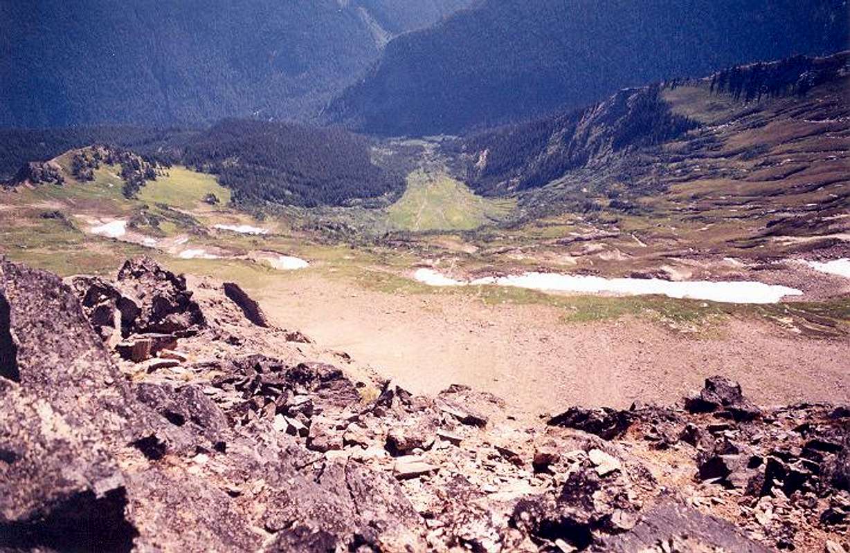
Looking down at the Southwest...
Looking down at the Southwest Basin of Luahna Peak from said summit. Thunder Creek is cutting in from the upper right. The White River is flowing through the picture at upper left. The Thunder Creek Route (Approach Route 3) comes up from the White River Trail below the buttress at top-center, crosses Thunder Creek next to this buttress, then ascends the steep timbered rib just left of center. The route to Clark would then cross to climber's right (to the left in the photo) into the next basin over (the West Basin of Clark). Photo taken August 20, 2003.


