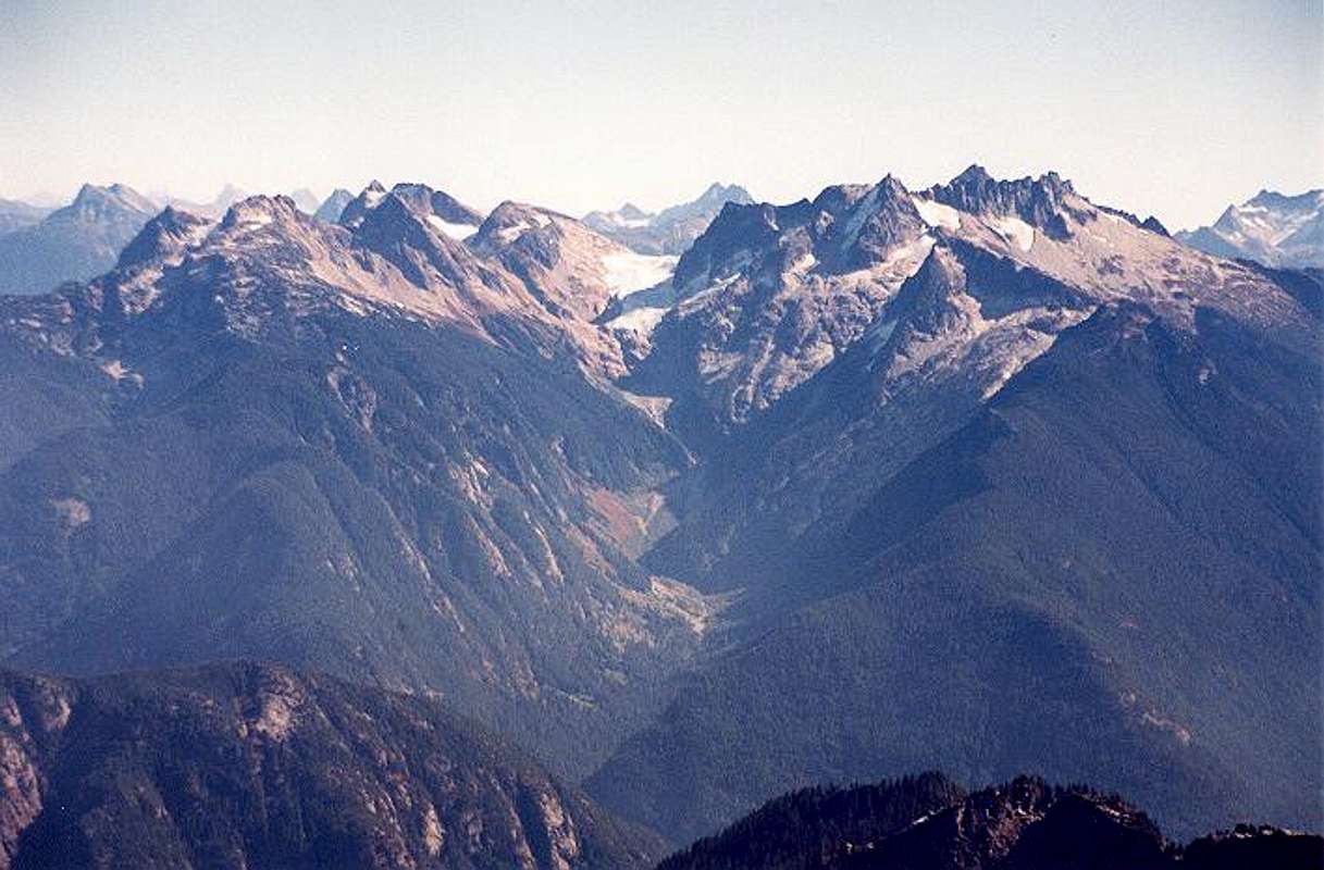
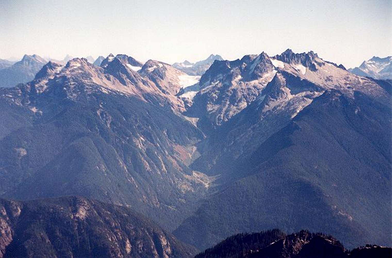
This picture shows the Ladder Creek approach (valley at center) to Snowfield Peak. The Ladder Creek Glacier is seen at center. To the left of the glacier are (L to R): Pyramid Peak, Pinnacle Peak,
Paul Bunyans Stump, and Colonial Peak (behind PB's Stump). To the right are (L to R):
Mesahchie Peak on the horizon, Cat's Ear, The Needle, Snowfield's summit horn, and The Horseman/Horseman's Pack. The town of Newhalem would be in the deep valley at the mouth of Ladder Creek. Photo taken from Mt. Triumph to the WNW on Sept. 27, 2003.


