Intro/Stats
Mt Guyot (13370')
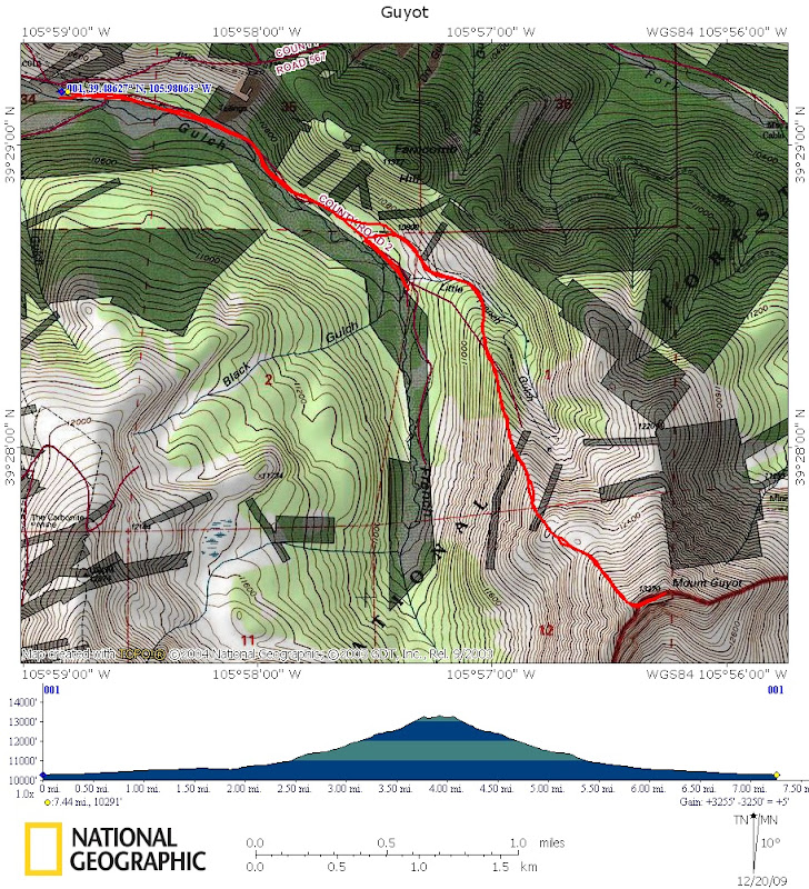
7.5 miles RT, 3200' gain
Via NW ridge from CR-2
Front Range
Participants: Sarah & Kevin
Guyot has been on my list for quite some time as a nice climb to do in winter conditions. It marks the western edge of the Front Range as it towers above Breckenridge. It is easily identified from both I-70 and US-285. With below average snow so far in the area, it ended up being a much easier effort than it could have been. Sarah was up for this hike since it's one of the few remaining 13ers in the Front Range that either of us hadn't done. The forecast looked too good to pass up!
The standard summer route on Guyot is via the east ridge from historic Georgia Pass, but a huge cornice just a few feet below the summit can sometimes be hard to safely get around. We instead opted for the much safer n.w. ridge from French Gulch, which would likely be wind scoured.
The NW Ridge
We set out at 7:25am with temps probably in the low teens. We parked at a parking area along CR-2 at 10180' not wishing to push our luck any further. It turned out we could have easily driven about 3/4 mile further to a gate, but that would have made it too easy! We made a minor routefinding snafu by missing our left turn into the Little French Gulch drainage, so we backtracked even though we could have hit the ridge from either side.
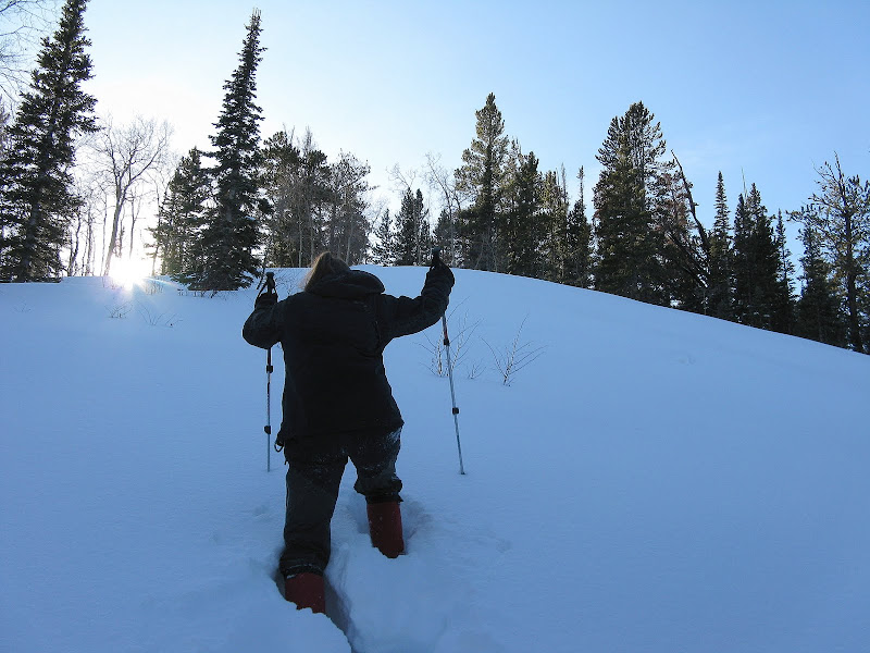
Given that the avy forecast was considerable today, we decided to gain the ridge in the trees as soon as possible and left the trail at around 10960', weaving our way around deadfall to the nose of the ridge. The slowshoeing wasn't bad at all even with just a two man wrecking crew until we got higher up.
Sarah takes a turn with trench creation duties:
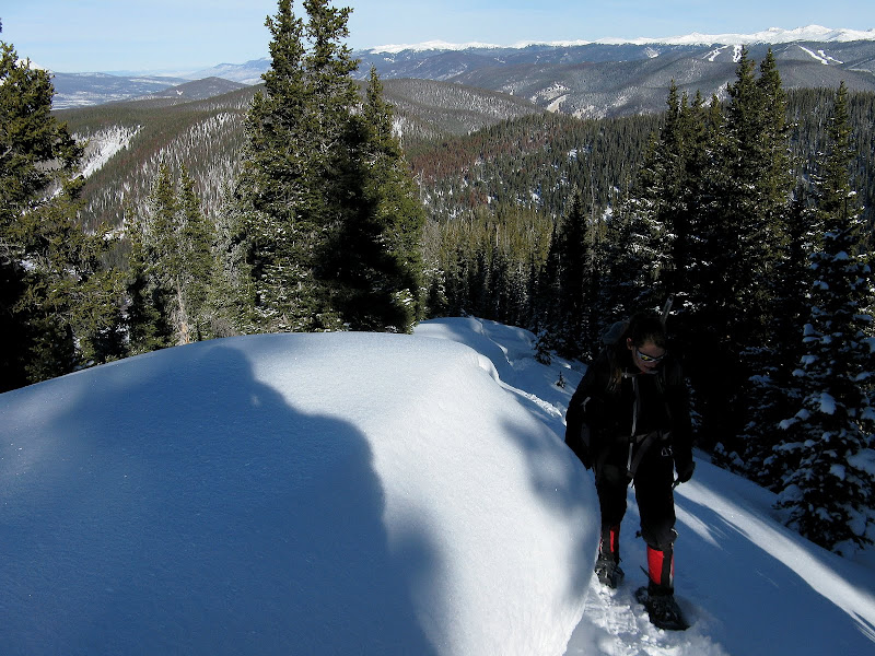
Once on the ridge, we began to notice just how unstable the snowpack is. Shooting cracks and whumphs were the norm all the way to treeline. It's probably the most activity I've seen in a snowpack. I think it's going to be tricky all winter. We were glad the ridge was gentle and that we did not get sucked further into the Little French Gulch drainage. We had a bit of a wallowfest along the ridge, but luckily the journey to treeline was only 1/2 mile and 600 feet from where we left the friendly confines of the trail.
Marshmallow drifts along the ridge crest:
We got an early Christmas present with the gift of a ski track further up! It was only a day or two old. They took a much steeper, suspect line to gain the ridge and we were shocked to see that they actually skied down a moderate n.e. facing slope that was prime avy terrain at treeline! It's amazing the risks some people take.
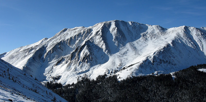
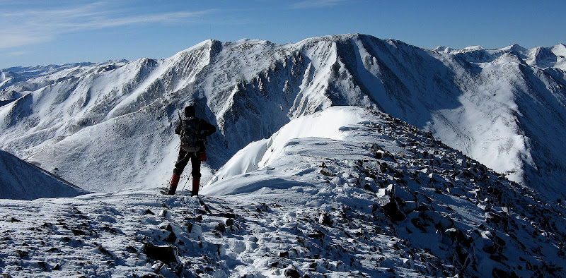
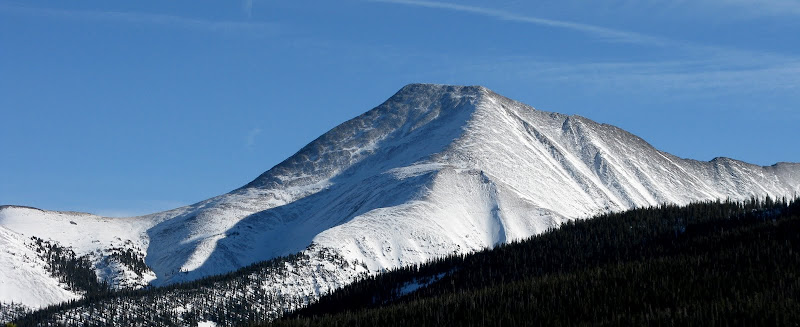
Looking west to massive 13er Bald Mtn:
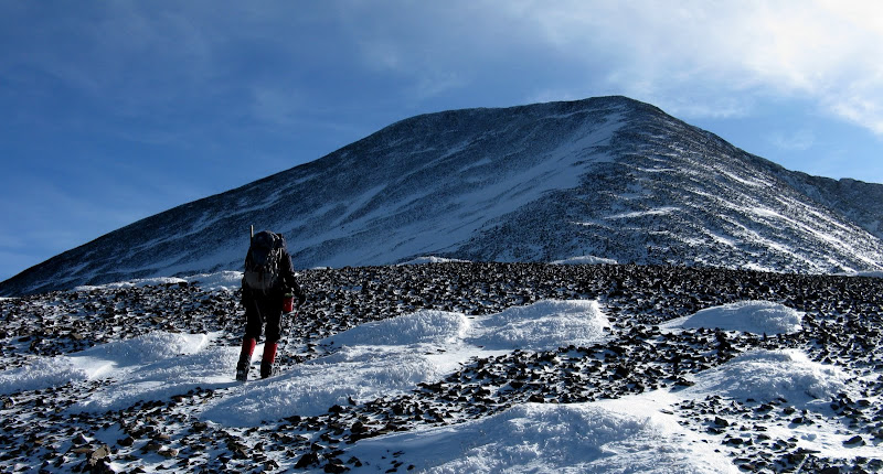
As expected, the ridge was wind blasted once above treeline, so we cached snowshoes. The rest of the way went pretty quick even though there is a lot of talus to deal with. Most of it was frozen in place, and we were able to rock hop pretty easily.
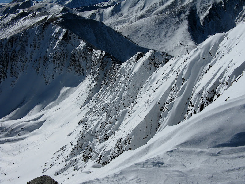
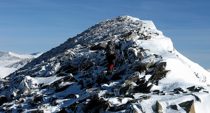
The wind began to pick up as we crested the summit ridge, but I was able to get by without a hard shell until we got to the top. The ridge curls to the n.e. for the last few hundred feet and the views down the s.e. face are amazing.
We topped out at 11:34am and didn't hang around as there wasn't a spot to take a break out of the wind.
Nearing the summit:
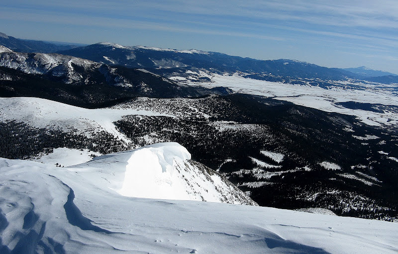
As expected, there was a huge cornice on the other side of the summit that we couldn't even see the other side of. Make sure you're standing on solid ground on this summit! I guess the winds are weird up here to where there sometimes isn't a leeward, wind blasted side of the ridge to skirt the cornice on.
We were now facing the wind on the way down, but it wasn't much of a factor as it died down as we descended. It was as close to a bluebird day as you can get for December! We made our way back down to a flat area below the talus and it was downright tropical! I guess it just felt that way after the battle we had on the Mosquito group last weekend. The reward for high summits on a sunny day in winter conditions are views like this.
The descent went pretty quick as we followed our nice track back down to the trail. We both agreed that this was one of the easier 13ers we have done in winter conditions, but the nice day had a lot to do with it. We felt pretty fresh as we got back to the car at 1:45 and decided to hit up nearby 10er Mineral Hill.
Guyot GPS track:
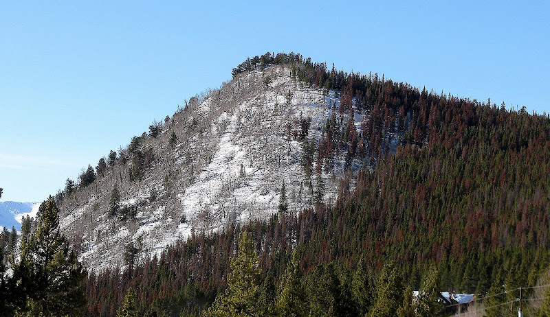
Mineral Hill For Dessert
Mineral Hill (10890')
.8 mile RT, 690' gain
This was a nice little 45 minute snowshoe outing and Sarah took care of business by breaking trail for all but the last few feet. We left our packs in the car, but were glad to have snowshoes as it really got deep near the top. We took a short but direct line up the s.e. slopes, probably across some mining property. :eek:
The reward was nice views over to the 10 Mile Range and back over to Guyot.
Twas a rare Dec "bluebird" day indeed!


Comments
Post a Comment