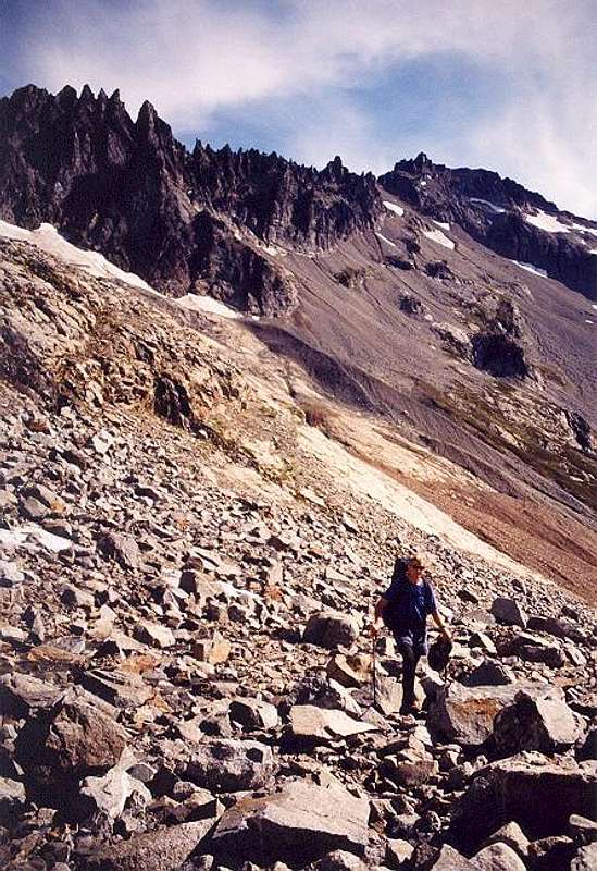
On the way out. Ripsaw Ridge at left with the "True" Horseshoe at upper left and the "Bulger" Horseshoe near top-center.
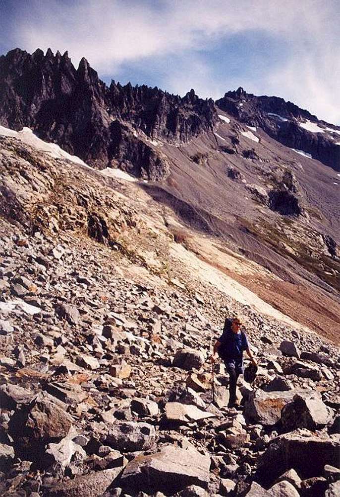
Mt. Buckner is farthest back. The 6,900-ft promontory camp is that black blob at right below the talus field. The rust-colored rock right of the snow apron at the base of the buttress at left is the tailings pile of the "Davenport" mine. Aug. 30, 2004.


