Toggle navigation
Mountains
Routes
Images
Trip Reports
Forum
What's New
People
Areas & Ranges
Articles
Trailheads
Canyons
Huts & Campgrounds
Albums
Logistical Centers
Fact Sheets
Lists
Custom Objects
Gear
Plans & Partners
WELCOME TO SUMMITPOST
SIGN IN
REGISTER
Castle Rock Spire
Additional Parents
Image
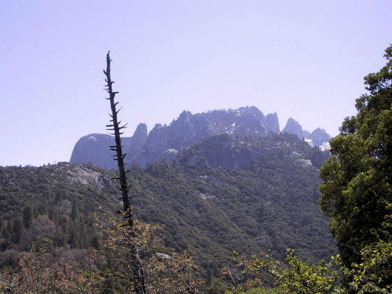
Almost halfway up the...
View High-Resolution Image
Almost halfway up the...
Almost halfway up the approach, your objective finally comes into view: The Fin, Castle Rock Spire, and South Guard are visible, with miles of poison oak remaining.
Photo by B. Bindner
« PREV
NEXT »
brutus of wyde
on
Jan 8, 2005 10:49 pm
Comments & voting
Other parents
Lat/Lon:
36.50230°N / 118.7155°W
Image ID:
84512
2762 Hits
75.79
% Score
6
Votes
Log in to vote
Comments
No comments posted yet.
to post!
Don't have an account?
Castle Rock Spire
(Mountain/Rock)
« PREV
Viewing
#26 of 41
GALLERY
NEXT »
brutus of wyde's Image Gallery
« PREV
Viewing
#108 of 208
GALLERY
NEXT »
×
You need to login in order to vote!
User Name
Password
Remember me
Forgot your password?
Log me out when I close my browser.
Keep me logged in all the time.
sign in as a user
Don't have an account?
Register now for FREE
Rating available
Suggested routes for you
People who climb the same things as you
Comments Available
Create Albums
Register Here


