
Viewing: 1-2 of 2

Maine - Nov 15, 2008 5:02 pm - Hasn't voted
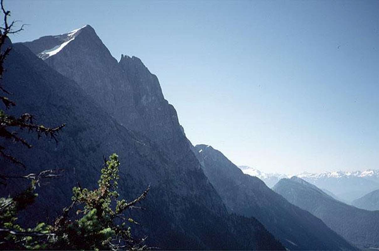
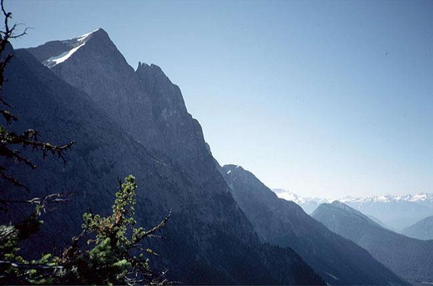
Relief?This looks like fantastic relief. Perhaps in the 1500m/5000ft range?

Eric Sandbo - Nov 16, 2008 12:23 pm - Hasn't voted
You're close.Roll a bowling ball off the summit, and it will hit Hozomeen Creek at 2200 feet, 5866 feet below you.
In lieu of a perfectly good bowling ball, I used this map:
http://mapper.acme.com/?ll=48.98013,-121.03050&z=15&t=T&marker0=48.98210%2C-121.01191%2C48.98210%25C2%25B0N%20%2F%20121.0119%25C2%25B0W&marker1=48.98005%2C-121.05200%2C13.7%20km%20E%20of%20Mount%20Spickard%20WA
Eric
Viewing: 1-2 of 2


Comments
Post a Comment