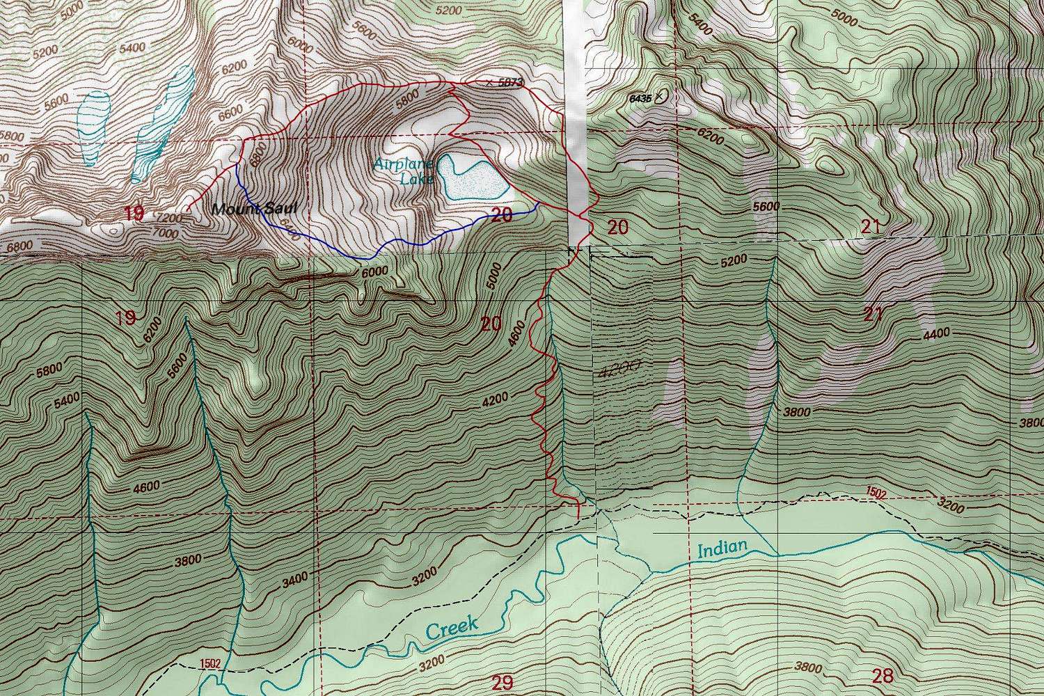
The trail ends at Airplane Lake. There are several possible routes from there to the summit of Mount Saul. The red routes I have testeed personally while the blue route is one I have heard of others doing. Reaching the upper northeast ridge from the lake can be tricky. There is some brush as well as cliff bands to contend with. The blue route might be better, but it appears to have some degree of talus and slab scrambling.


