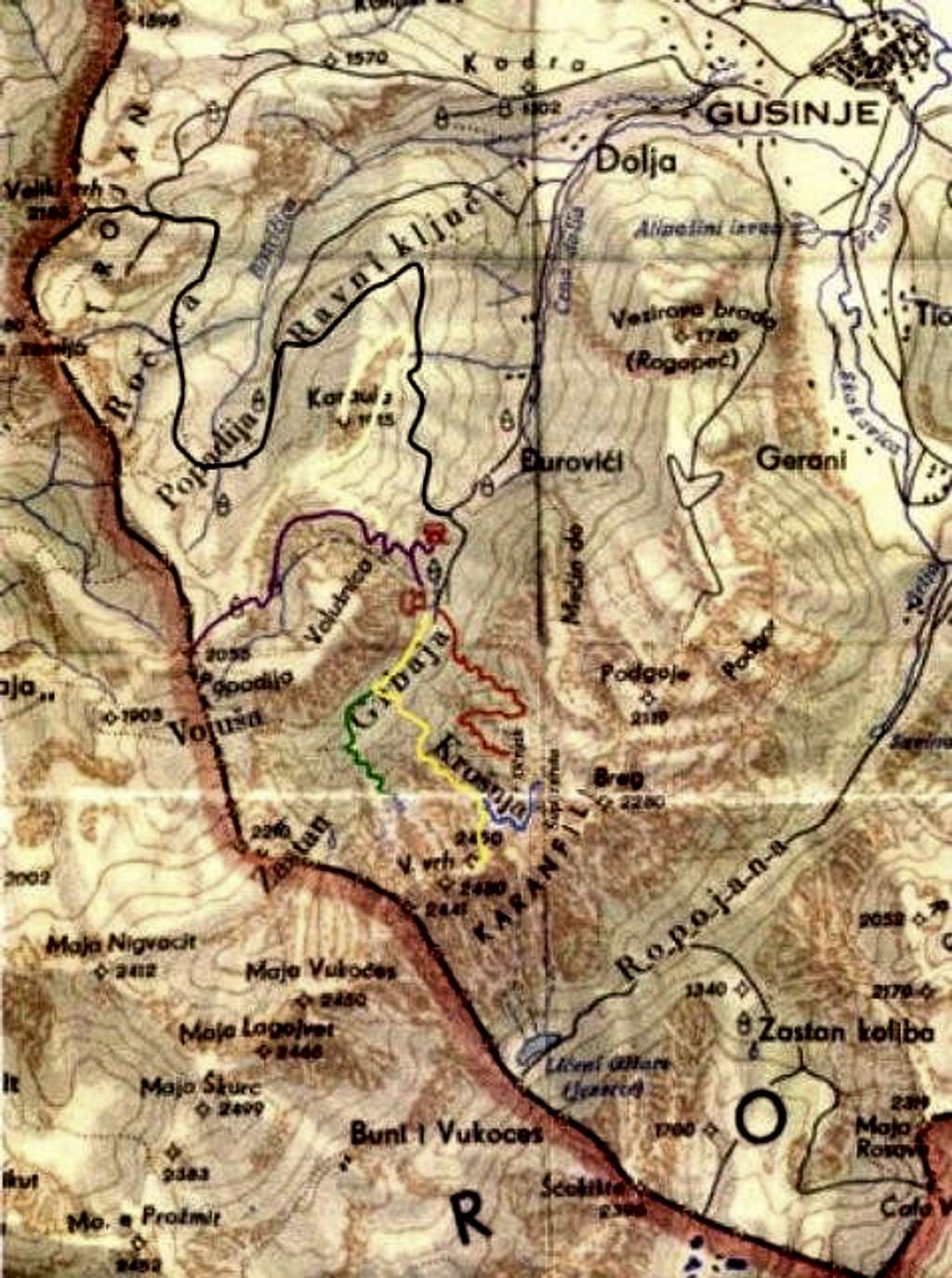
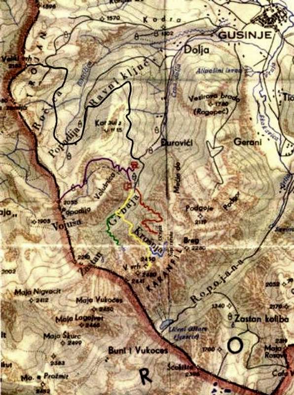
Map of Montenegrin part of...
Map of Montenegrin part of Prokletije. On map you can see Gusinje town from where you need 10 minutes with car or 2 hours by walk with big rucksack till Grbaja valley (colour routes on map). Also, you can see Ropojana valley from where is start to Jezerski Vrh/Maja Jezerce/Lake Peak (2694 m), highest peak of whole Prokletije massif.
Across Montenegrin/Albanian border (on map) you can see also few peaks of Albanian part of Prokletije.


