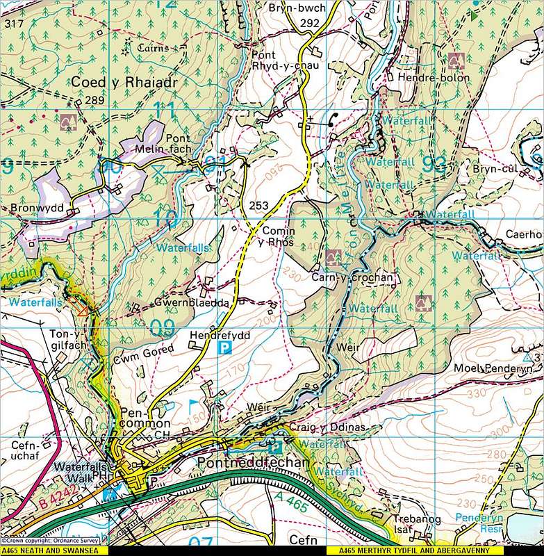
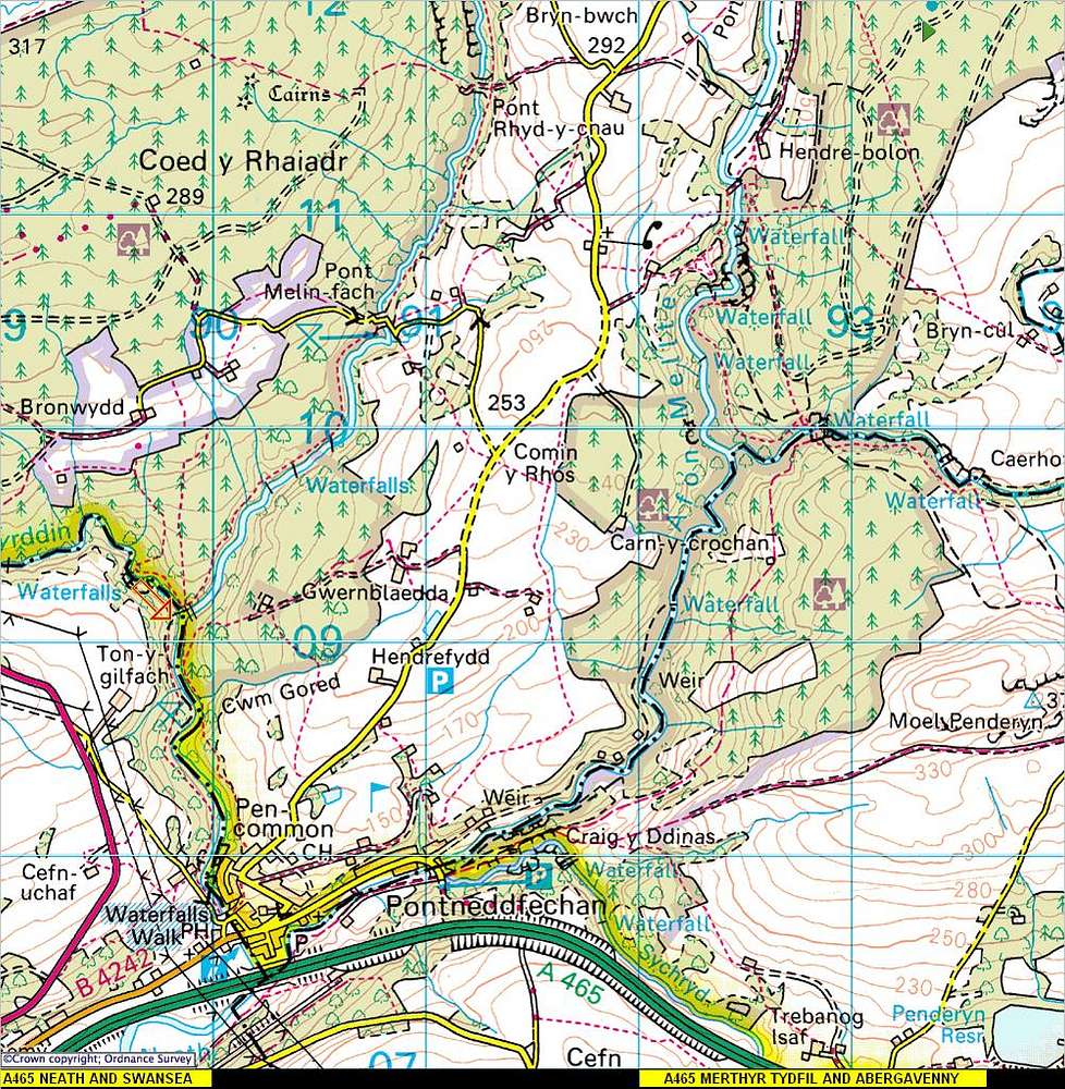
An area map 1:50.000 covering the waterfall region of Pontneddfechan, Ystradfellte, the rivers Hepste, Mellte and Nedd Fechan. The map also shows the A465 head of valleys road which from the east covers Abergavenny and Merthyr Tydfil, from the west covers Neath and Swansea.


