-
 702 Hits
-
 76.66% Score
-
 7 Votes
|
|
Mountain/Rock |
|---|---|
|
|
47.45931°N / 11.41181°E |
|
|
Hiking |
|
|
Spring, Summer, Fall |
|
|
6020 ft / 1835 m |
|
|
Overview
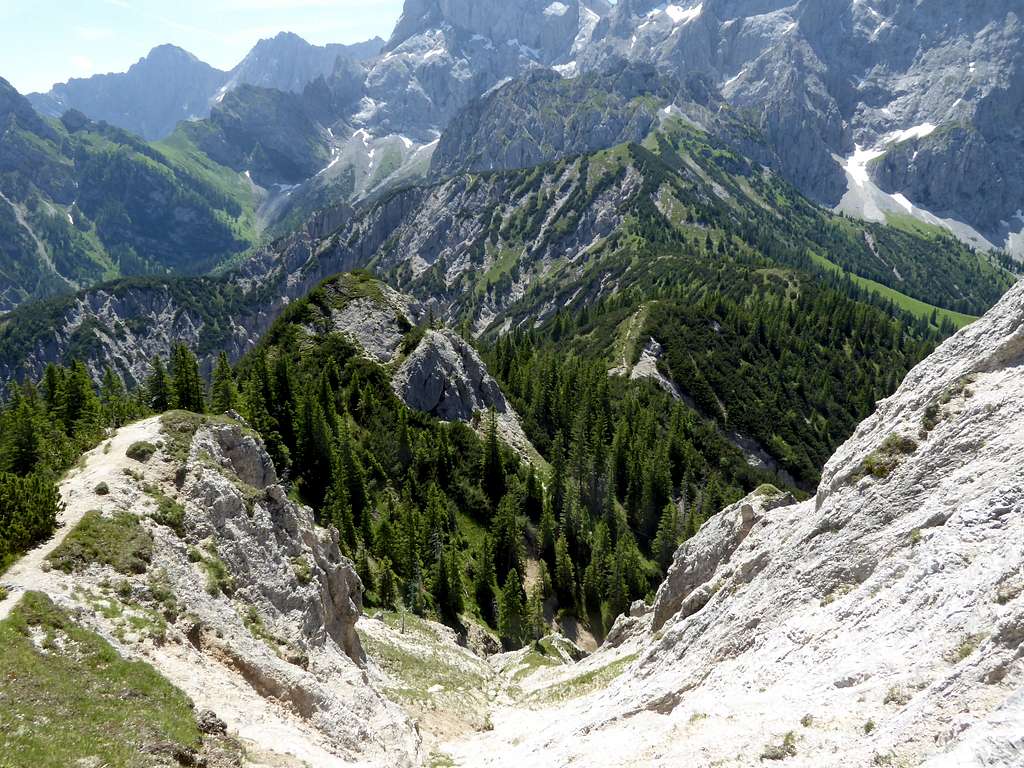
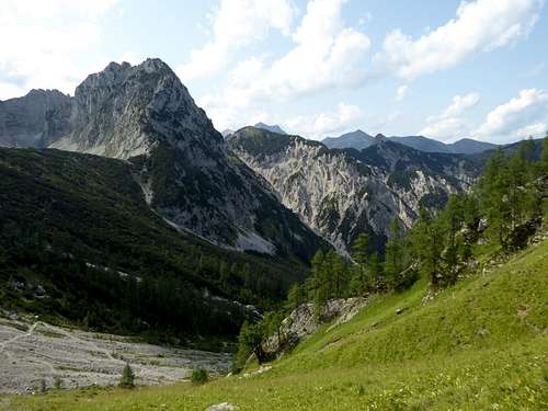
Wechselkopf is a rather lonely summit at the southwestern end of Rontal valley, a beautiful hanging valley th the Hinterriß – Eng valley system which reaches deeply into the very heart of Karwendel ranges. Due to the more or less abandoned and in parts unmarked trails Wechselkopf reaches not many visits despite of being an easy summer hike.
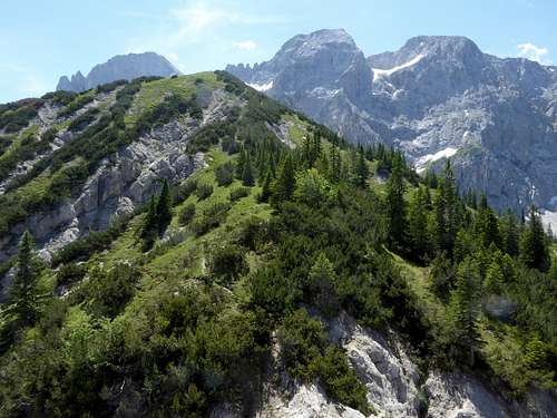
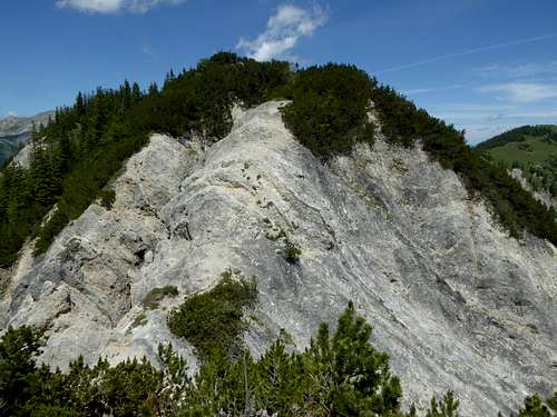
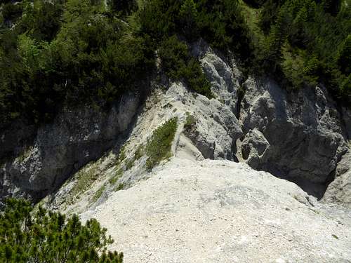
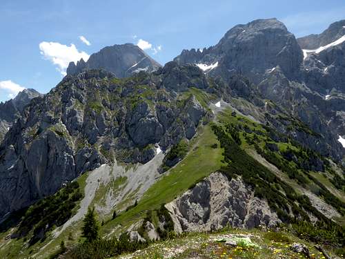
Wechselkopf sits on the west to northwest border of Rontal valley between Steinkarspitzen and Vogelkarspitze to the south and Rappenklammspitze to the north. An easy, dwarf pine overgrown ridge separates the equally dwar pine infested summit with Rappenklammspitze. There is a foot track, mostly unmarked and crudely interrupted by a steep gully, linking both summits together and offering a nice traverse option. The rugged gully, a typical Hauptdolomit erosion form, end at a steeply carved in col; the traverse of this col requires some rock scramble of grade I difficulty in bad and frail rock. The ridge marks the border between Austria and Germany; the east side of Wechselkopf lies in Austria, the west side belongs to Bavaria.
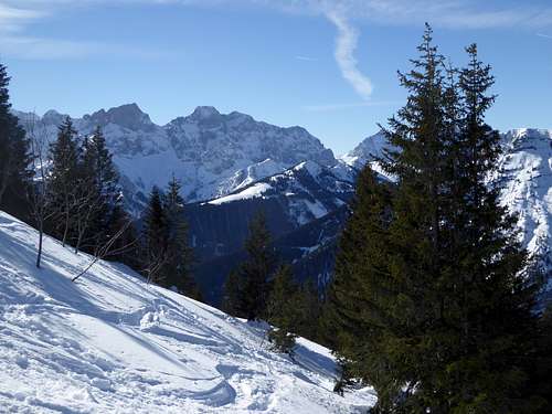
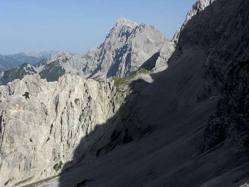
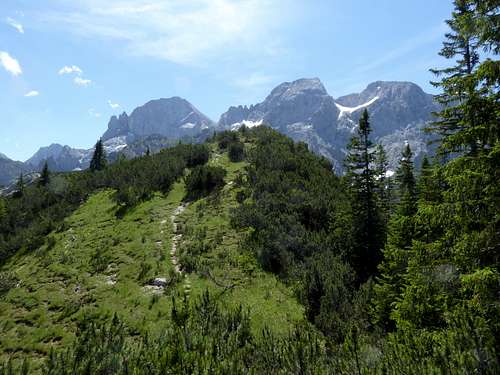
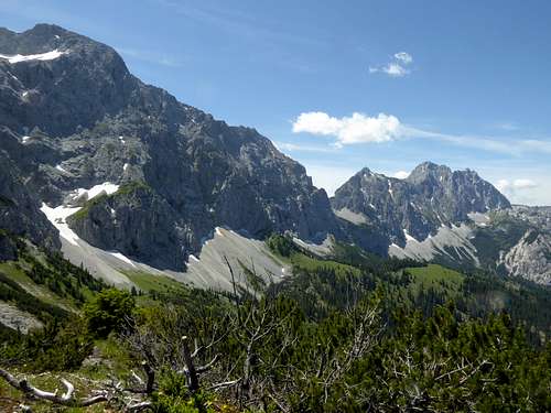
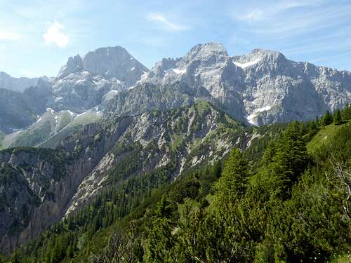
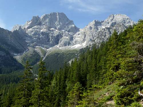
In contrary to rocky Rappenklammspitze and Steinkarlspitzen, Wechselkopf has a beautiful summit meadow and is thus in stark contrast to the two neighbours. A rather good view to the north and west and the impressive looming rock faces of the adjacent Northern Karwendel ridge adds to the fun.
Getting There
Best trailhead for the Wechselkopf routes is Hinterriß within Eng valley.
You reach Hinterriß by car
- on road number B 13 and B 307 coming from Bad Tölz and Lenggries via Fall / Sylvenstein dammed lake
- on road B318 and B 307 coming from Tegernsee region, Achenpass and Sylvenstein lake
- on road 181 coming from Inntal valley to the German / Austrian border at Achenpass, following road B 307 to Sylvenstein lake.
- Road B 307 ends at Vorderriß. Follow Risstal Landesstraße crossing the German / Austrian border until you reach Hinterriß.
There is a hiker parking area at the beginning of the village, another one after leaving the village (called parking area P2).
Public transportation
There is a hiker bus serving Eng valley. It starts at the railway station of Lenggries and has a bus stop at Hinterriß.
Routes Overview
Rappenklammspitze, Wechselkopf, Torkopf routes overview:
Starting at hiker parking area Hinterriß:
Follow the Risstal Landesstraße in southern direction, Turn right about 100 m south of Gasthof Post Inn and ascend the road and soon the forest road into Rontal until you reach Rontal Alm. Leave the forest road about 100 m in front of the Alm hut to the right, cross the creek and head for the east slopes of already visible Rappenklammspitze. Follow the trail in some zigzags up to the north ridge until the summit trail for Rappenklammspitze branches off to the right.
Go straight on instead, descend on a narrow trail steeply to the connecting ridge to Wechselkopf (Steinkarlschneid). Follow the trail on or east of the ridge until it reaches the steep notch, called Wechselschneid. Climb down to the notch and up again on its other side in steep and frail rock. Ascend on the trail to Wechselkopf.
Alternatively pass Rontal Alm on the forest road which ends south of the Alm. Follow the marked trail to Torjoch col until a car track branches off to the right. Follow this track to its end and take the unmarked trail alongside a dry creek up into light woods and a scree field. The trail turns west and gets better. Follow the trail up to Wechselscharte col and ascend the summit meadows to the summit.
This is the ski route, too
Starting at Mittenwald and Hochland Hütte there is a connecting trail between Wörnersattel and Wechselscharte col alongside the north faces between Wörner summit and Vogelkarspitze. It is a long and rather unusual ascent to Wechselkopf in a lonely and remote part of Karwendel ranges. By traversing to Rappenklammspitze and descending to Hinterriß you can make a impressive traverse. Public transportation recommended (train to Mittenwald, hikers bus and train from Hinterriß and Lenggries).
Red Tape & Accommodation
Red Tape
The austrian part of Wechselkopf belong to the Alpenpark Karwendel, an important and strictly protected National Park. One of the visitor information centers is located at Hinterriß
There is no entrance fee for the park but many regulations to follow.
Please respect the following rules in the National Park:

Accommodation
Accommodation can be found at
No camping within Alpenpark Karwendel
Overnight stay of motorhomes is strictly regulated and only possible at special parking areas
Rontal Alm offers drinks and some simple food.
There are no mountain huts around.
Gear & Mountain Condition
Wechselkopf is mainly a hiking summit; a ski tour is possible but rarely done.
The trails to Wechselkopf summit are easy hiking trails which require normal hiking gear and good shoes.
The traverse Rappenklammspitze - Wechselkopf has at Wechselkopfschneid col a rock scrambling part in bad rock (should be UIAA grade I) which can be a bit tricky. Be careful with rain, ice, snow or wet conditions.
For a ski ascent you need full ski tour and avalanche gear.
See the Austrian / Tirol avalanche bulletin here.
Weather condition:
Weather conditions Hinterriß:
Mountain Weather Vogelkarspitze:
Maps
Alpenvereinskarte 1 : 25.000
Blatt Nr. 5/2, Karwendel Mittleres Blatt
Online Shop Deutscher Alpenverein
together with
Alpenvereinskarte 1 : 25.000
Blatt Nr. 5/1, Karwendel Westliches Blatt
Online Shop Deutscher Alpenverein
both with trails and UTM grid


