

Comments
No comments posted yet.
|
|
Trip Report |
|---|---|
|
|
35.15381°N / 111.55067°W |
|
|
Download GPX » View Route on Map |
|
|
Sep 5, 2021 |
|
|
Hiking |
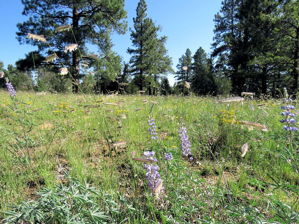
Walnut Canyon sits to the east of the city of Flagstaff in northern Arizona. A portion of Arizona Trail goes over a forested plateau to the north of the canyon where we hiked and took spur trails to reach the rim of the canyon. The hike fell outside the boundaries of Walnut Canyon National Monument.
Hike Length: 9.55 miles
Maximum Elevation: 6975 ft
Minimum Elevation: 6450 ft.
Kris and I left the vacation rental house near Flagstaff, Arizona at 5:30 AM. View from our doorstep.
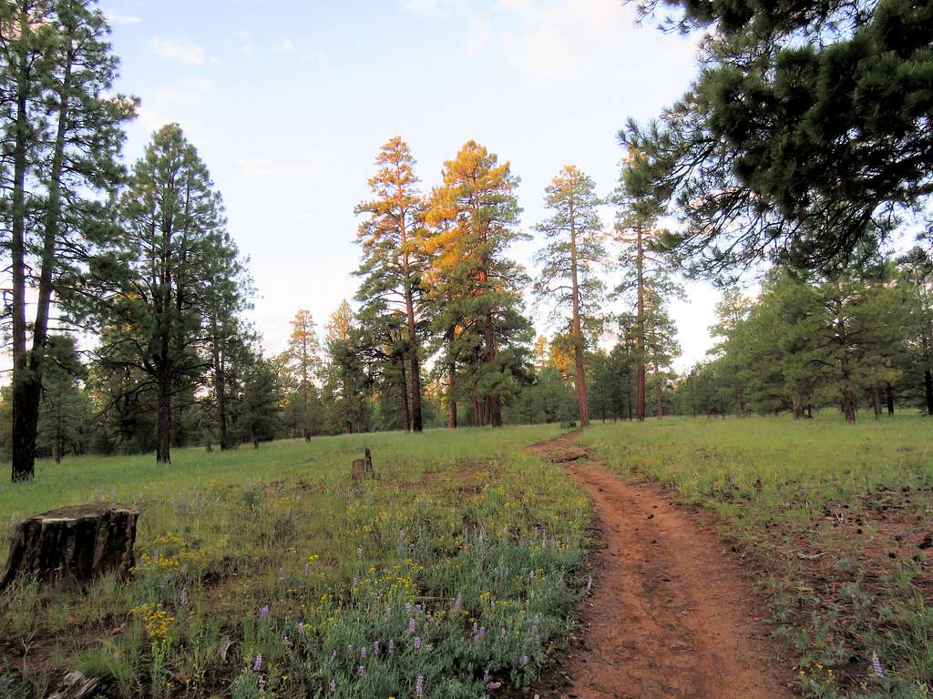
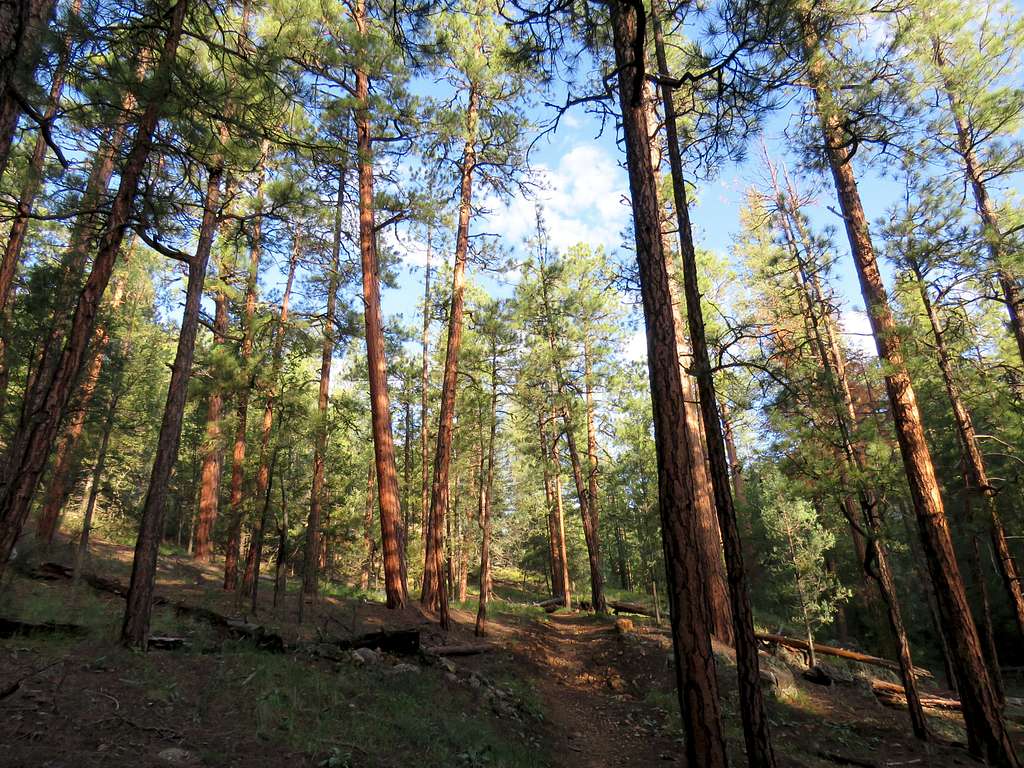
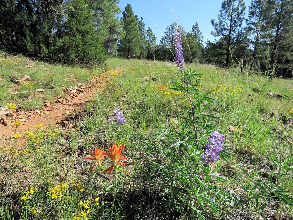
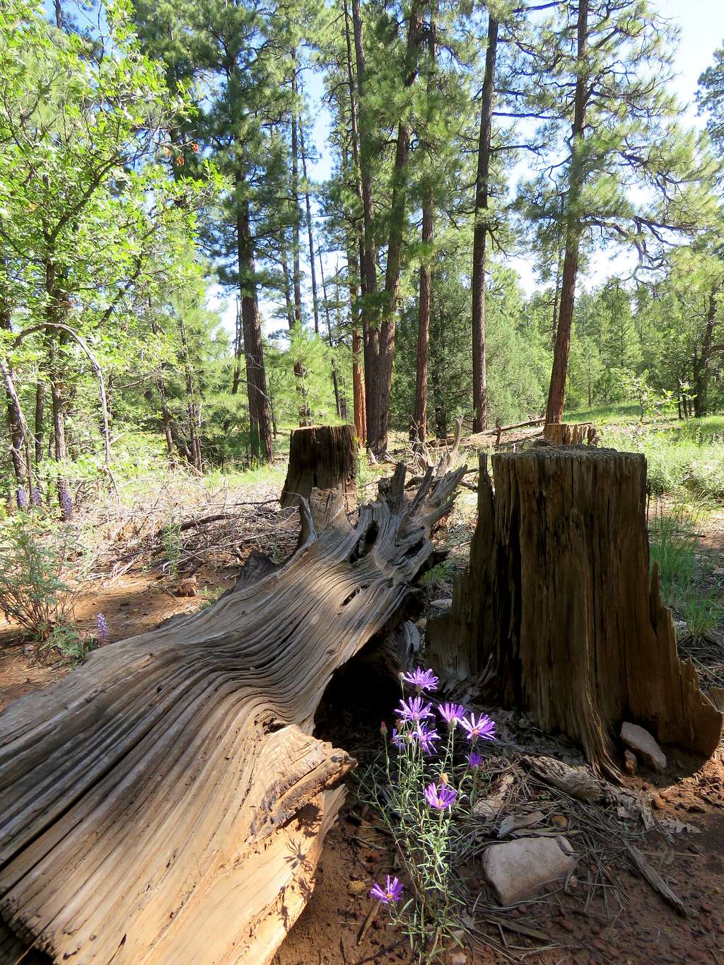
Drove I-40 to Exit 204 and Walnut Canyon Road. Before entering Walnut Canyon National Monument, we turned west onto a dirt road that had a good surface and went 1.75 miles to reach Arizona Trail Trailhead. Started the hike at 6:05 AM following the trail southwest. We were in a forest of tall pine trees and to my surprise there was green grass everywhere. It must have rained the previous night. Everything was wet.
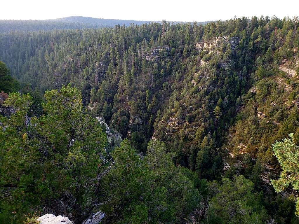
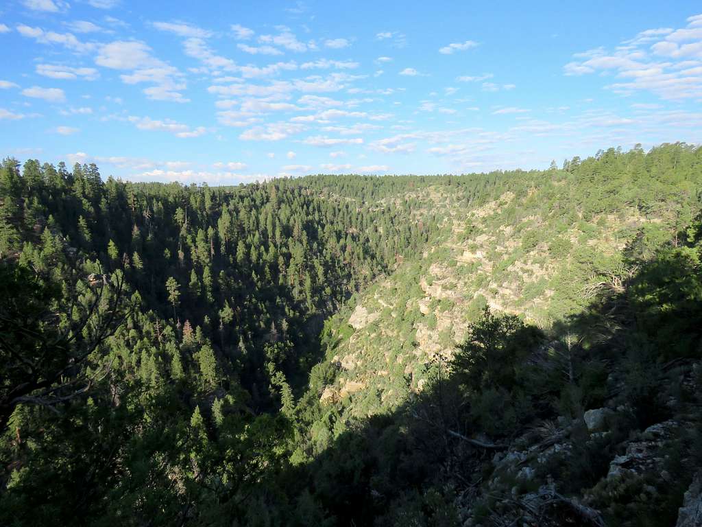
After 1.3 miles of walking in the forest, we reached a spur trail that took us to the north rim of the canyon.
Went back to the main trail, which soon went down into a side canyon and then up again to the top of the plateau.
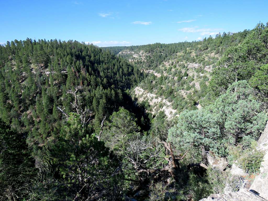
Another spur trail to a different spot on the rim.
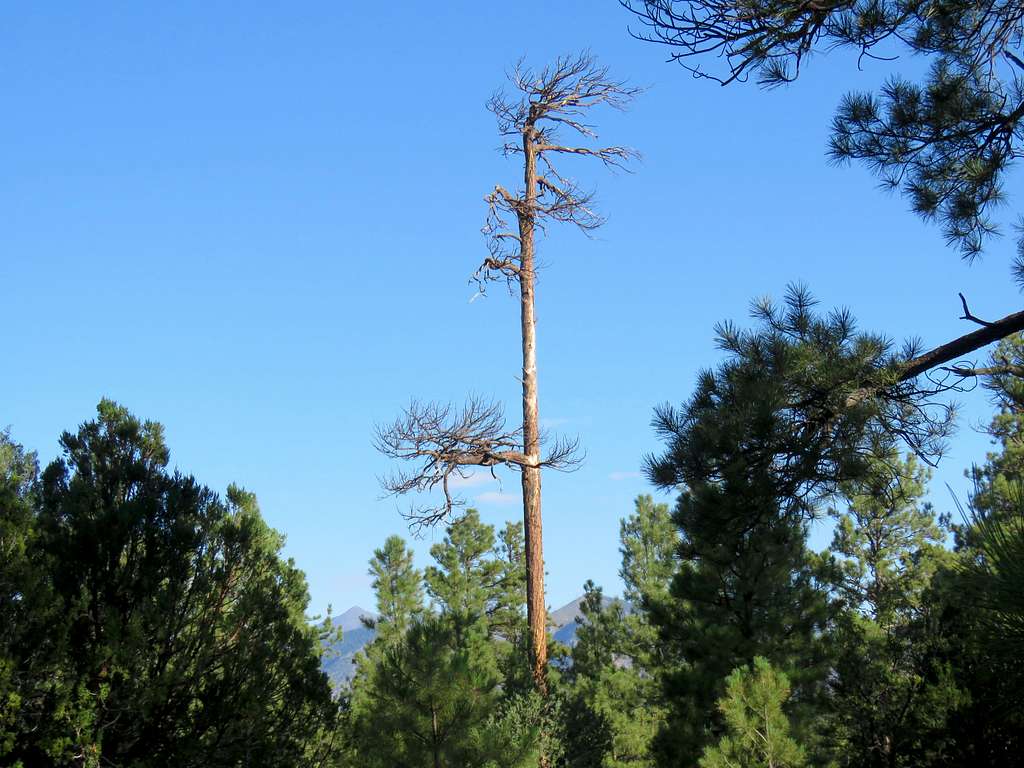
Back to the main trail, got a glimpse of the San Francisco Mountains to the northwest.
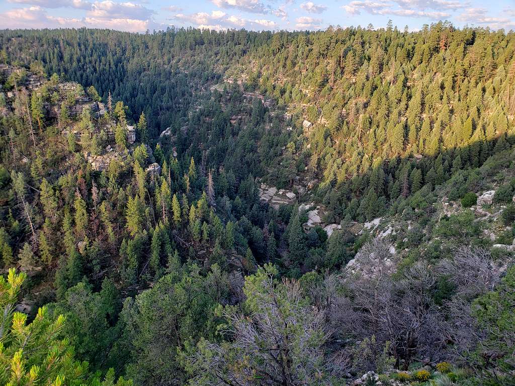
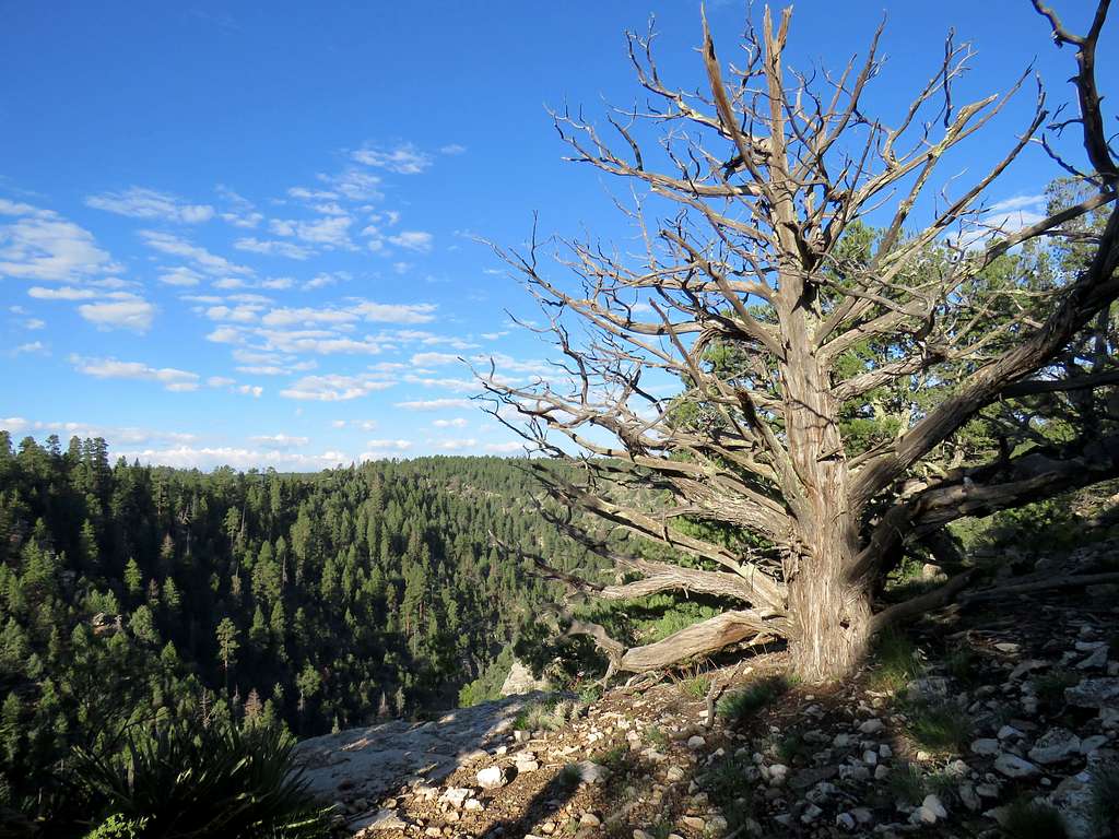
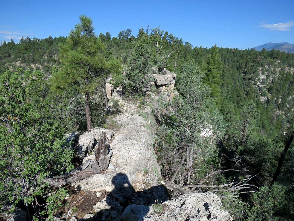
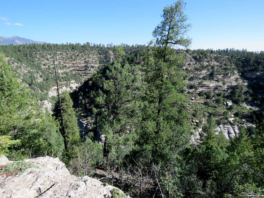
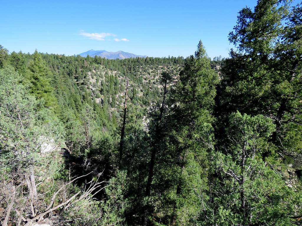
We then followed a third spur trail to the end of it over a narrow rocky ledge on the rim of the canyon.
Views of the canyon and San Francisco Peaks from the end of the ledge.
After eating and enjoying the views, we began to walk back running into a number of other hikers, joggers and mountain bikers.
Back to the car at 11:00 AM.