
Comments
No comments posted yet.
|
|
Trip Report |
|---|---|
|
|
32.29517°N / 110.66595°W |
|
|
Download GPX » View Route on Map |
|
|
Nov 4, 2022 |
|
|
Hiking |
|
|
Fall |
The 5369 ft Agua Caliente Hill is the high point of a series of hills that rise to the northeast of the city of Tucson, Arizona. The hills form the boundary between the Santa Catalina Mountains to the north and Mica Mountain to the south. A trail starts at Agua Caliente Trailhead in a northeastern Tucson suburb and take you to the summit where you will have great view of the city and the surrounding mountains. Don’t be fooled by the term “Hill”. Reaching the summit will involve a net elevation gain of 2470 ft.
Trailhead Elevation: 2900 ft
Summit Elevation: 5369 ft
Roundtrip Hiking Distance per my GPS: 9.36 miles
Total Elevation Gain per my GPS: 3060 ft
Friday November 4, 2022
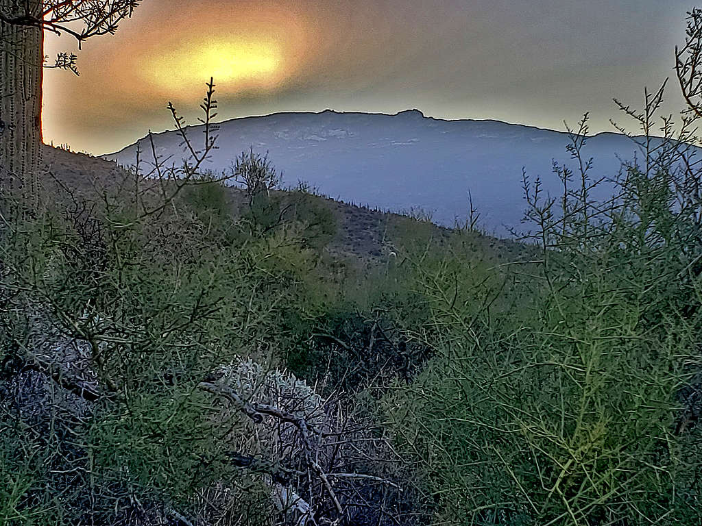
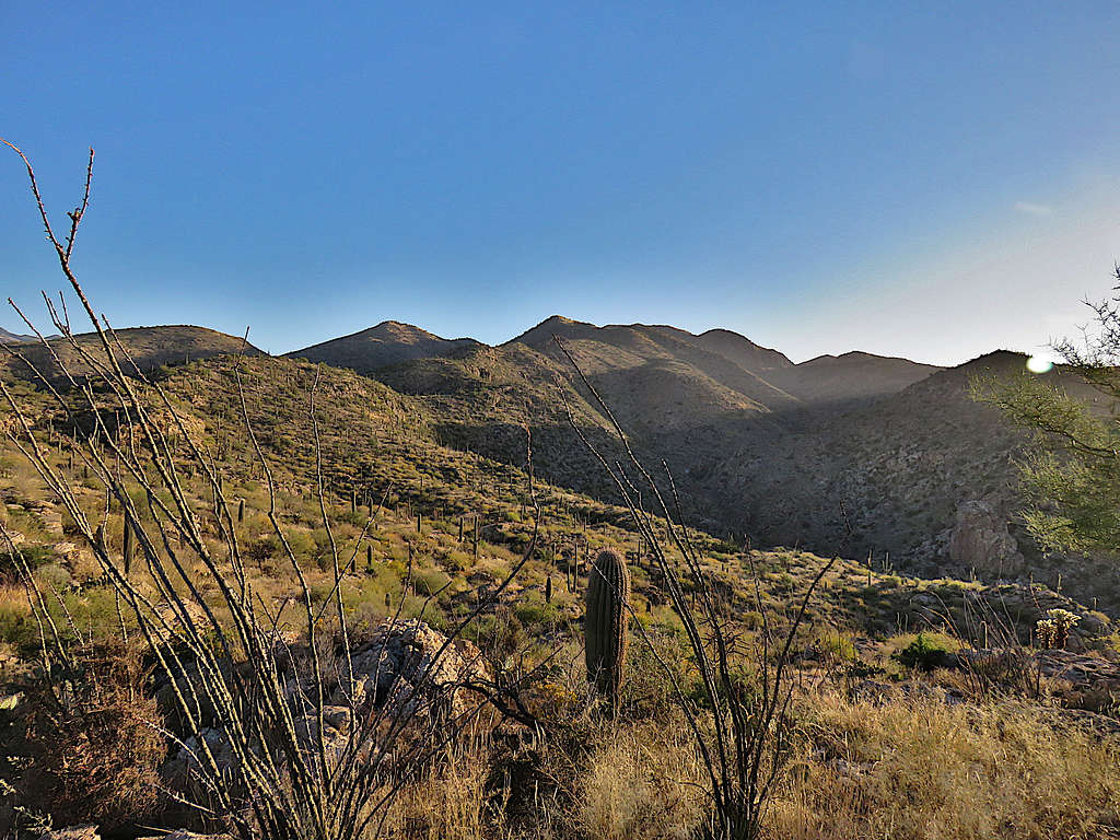
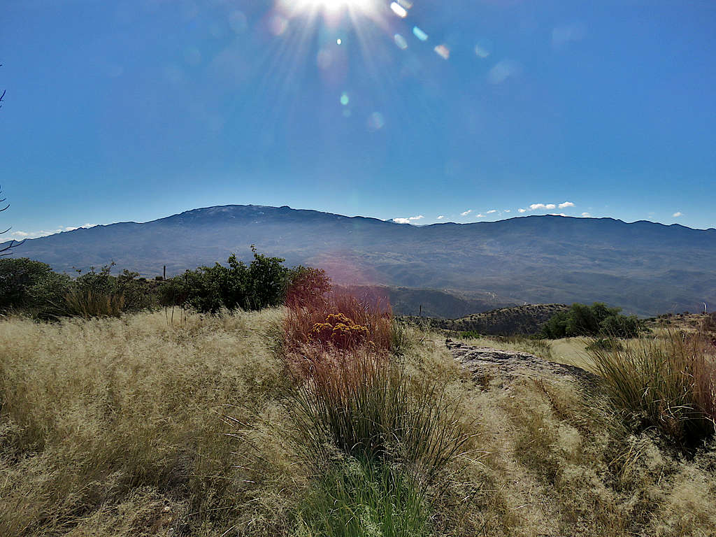
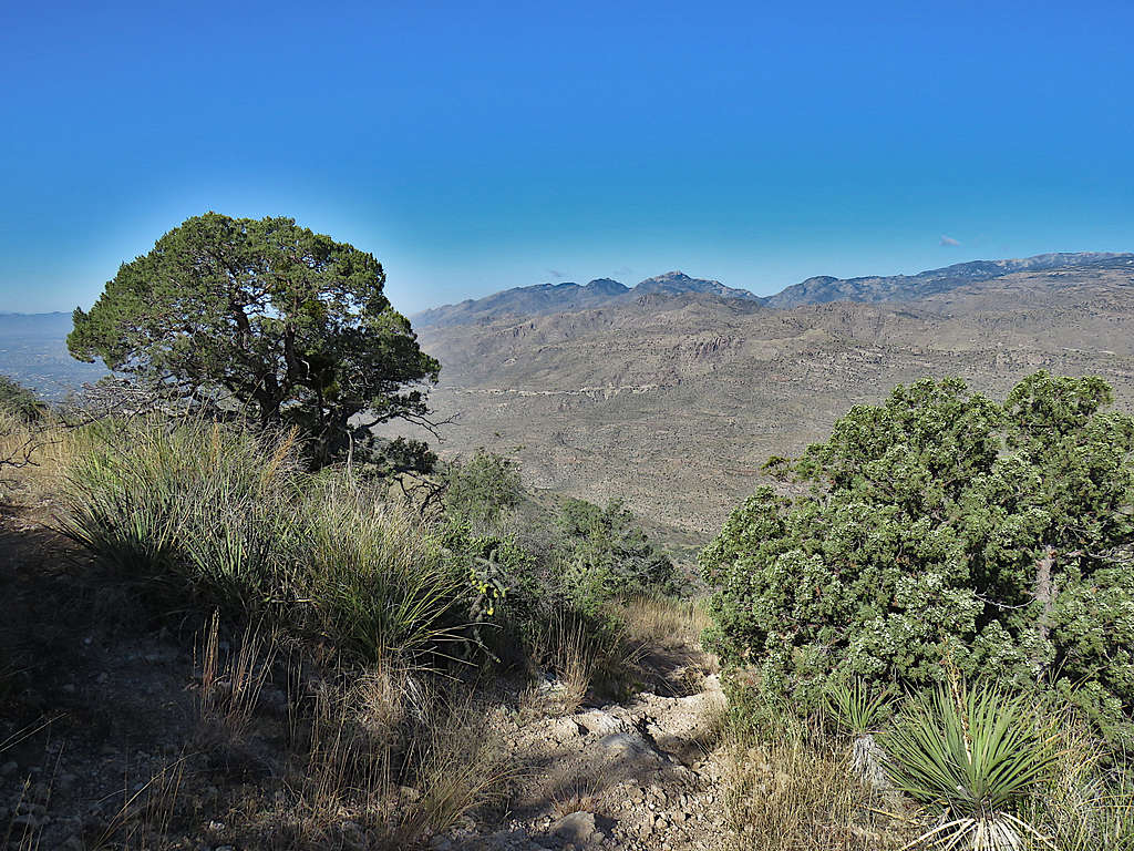
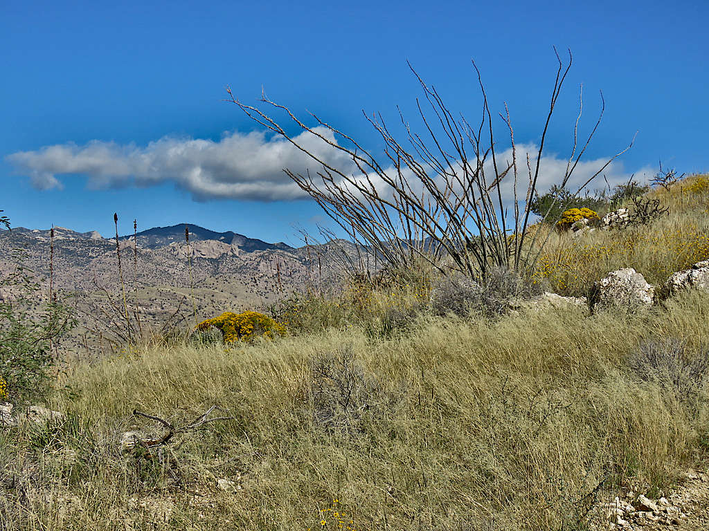
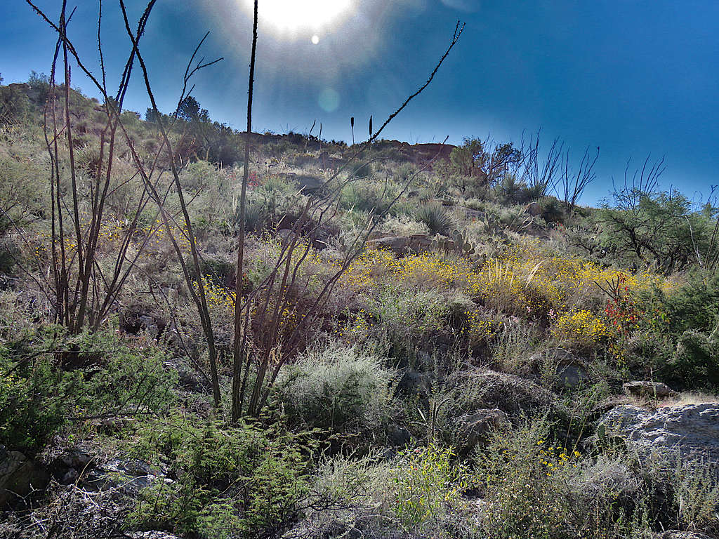
Left the vacation rental house in Oro Valley at 5:45 AM (sunrise 6:45 AM) when it was 34 degrees F. It had rained the previous day. I had a very long and convoluted drive through the streets of Tucson. GPS Navigator came in very handy. Made it to Agua Caliente Trailhead. No one was there. Started my hike at 6:40 AM. View up the slopes.
Cathedral Rock, Window Peak and Mt. Kimball at sunrise. Trailhead and my rental vehicle seen.
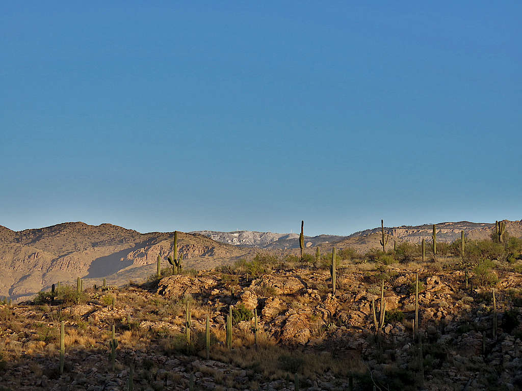
Cat Mountain, Golden Gate Mountain and Wasson Peak.
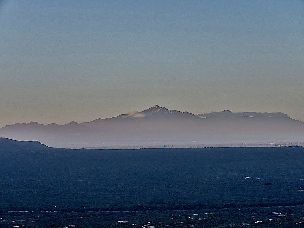
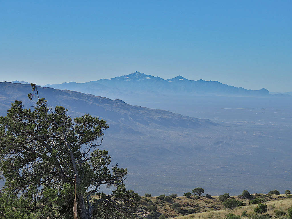
Zoomed view of Mt. Wrightson with a little fresh snow from the previous day.
Mica Mountain.
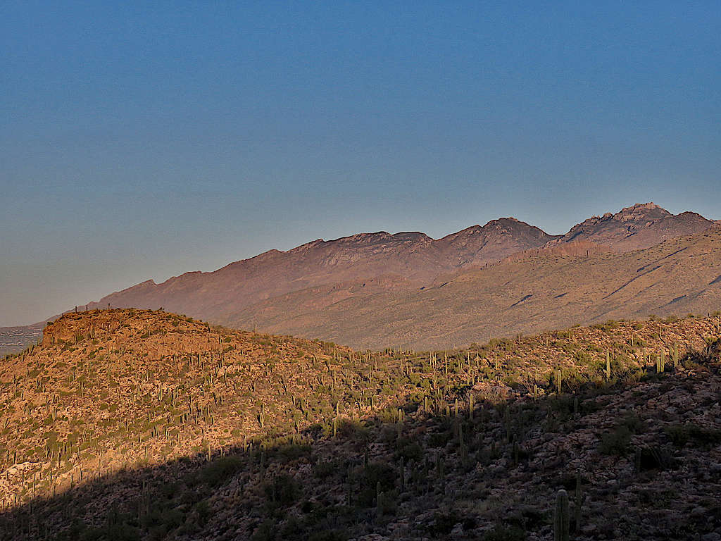
Mount Bigelow.
Cathedral Rock, Window Peak and Mt. Kimball again.
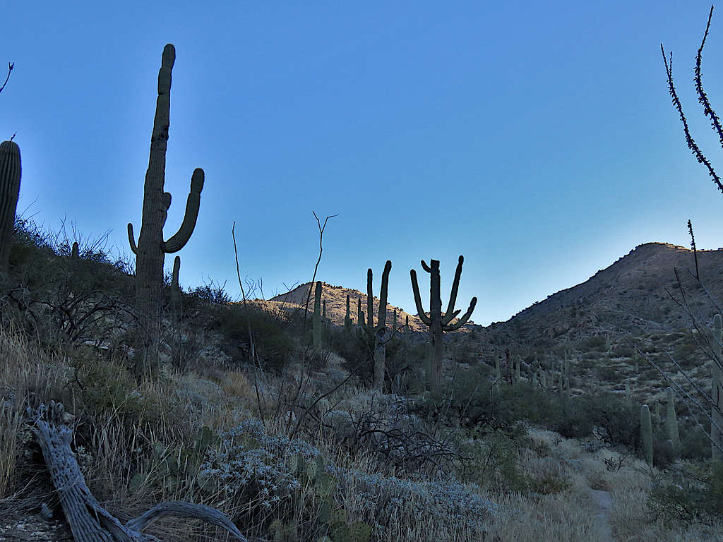
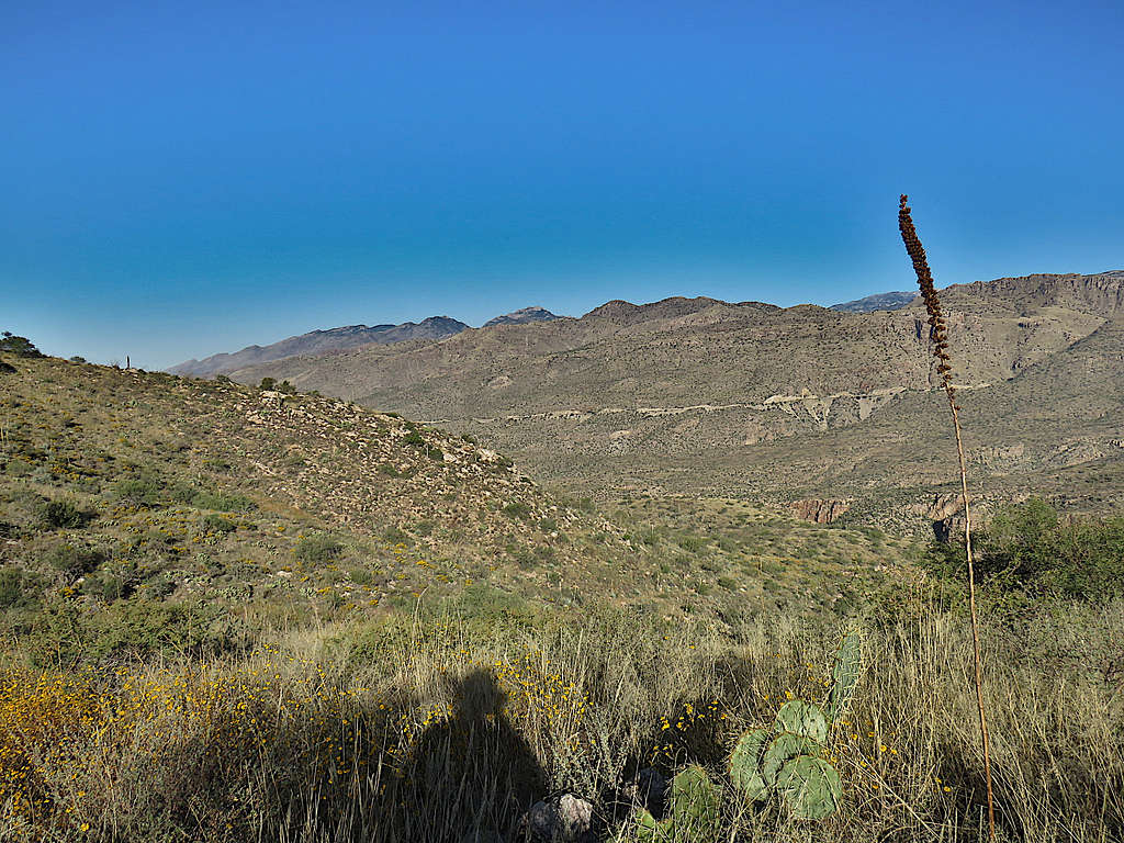
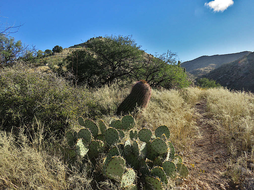
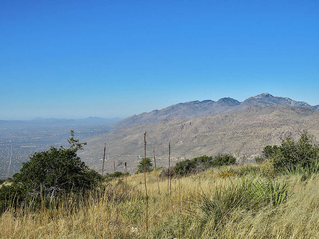
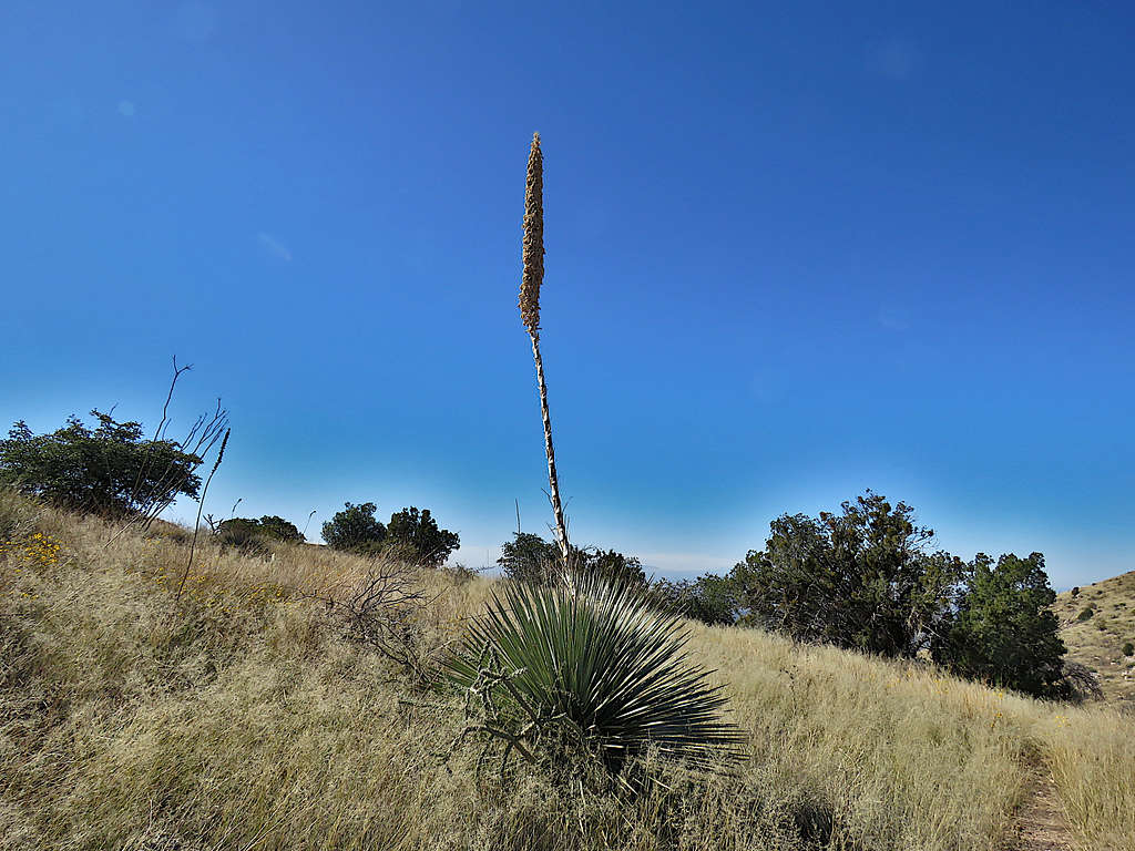
Was soon out of the shade and on a ridgetop. Took off my gloves and coat. Could not tell if I was seeing the summit or not. Those actually turned out to be Points 4774 ft and 4472 ft with the true summit hidden behind.
Into the shade again, feeling cold, and down 100 vertical feet to Cat Track Tank which was dry.
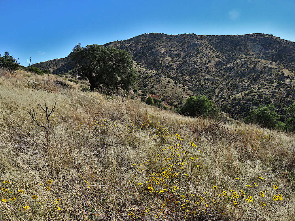
Up a slope into the sun until at 2.79 miles, 8:16 AM and 4020 ft elevation, I reached a saddle where there was a junction with another trail. Looking east at Point 4774 ft.
Cathedral, Window and Kimball from the saddle.
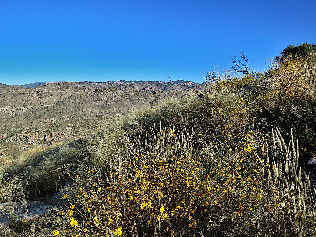
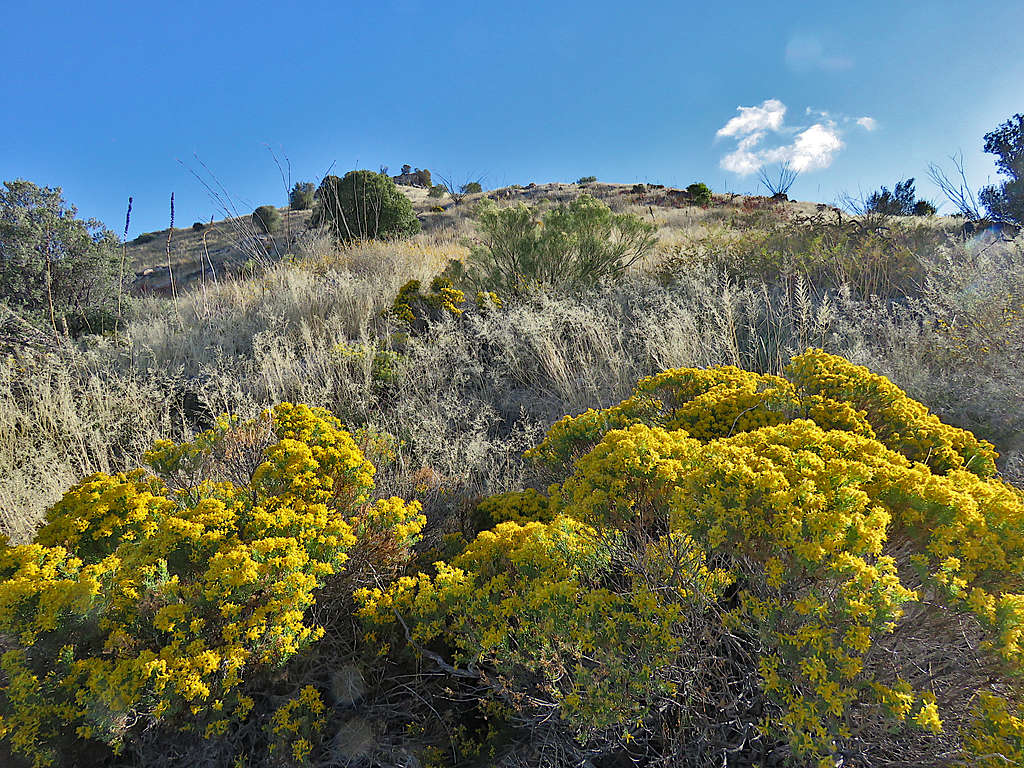
The trail headed east following the ridgetop toward Point 4774 ft. I began to hear human voices. Saw 3 hikers far below coming up the trail. Would have rathered had the whole place to myself. Stopped often to take pictures but fortunately still kept my distance from those hikes.
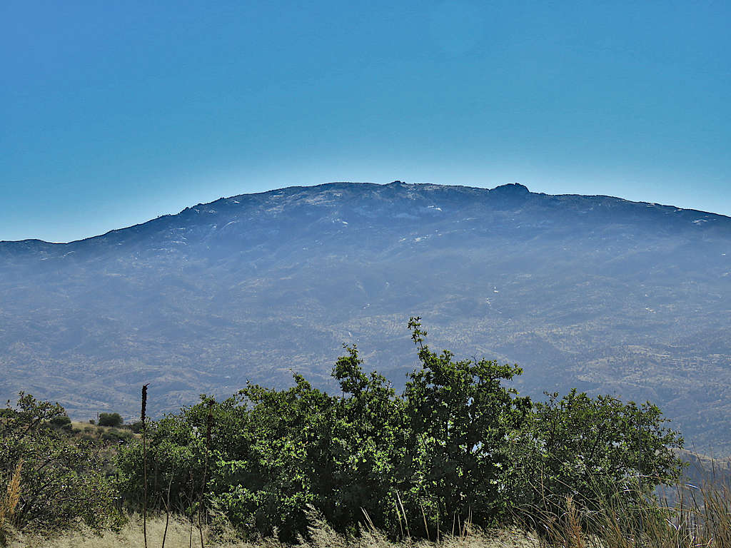
Summit finally came to view.
Below Point 4774 ft.
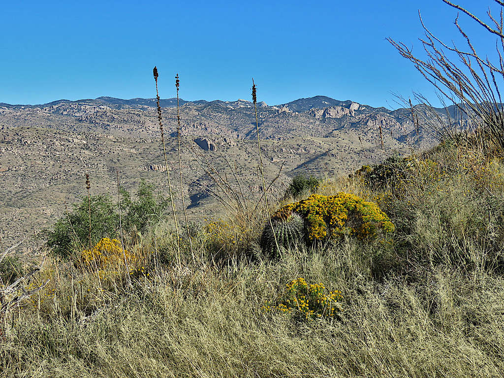
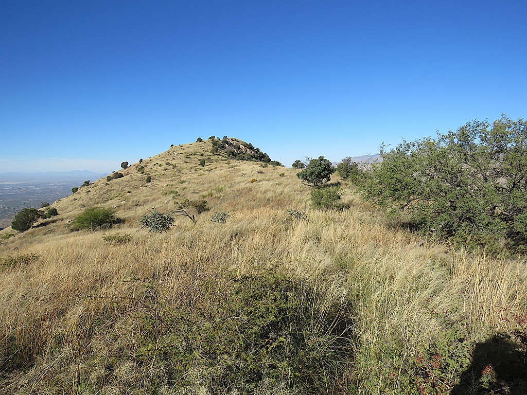
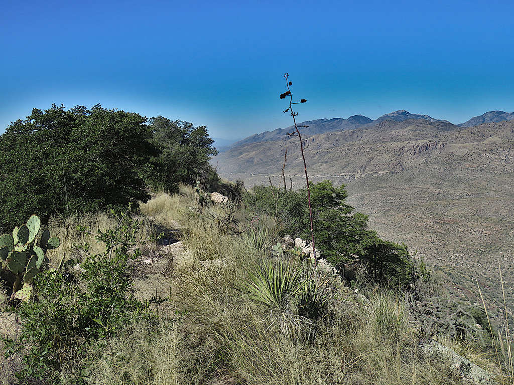
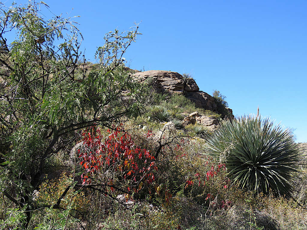
The trail traversed the slopes just below the summit of Point 4774 ft and got on a broad grassy ridgetop going toward the summit of Agua Caliente. Looking back at Point 4774 ft.
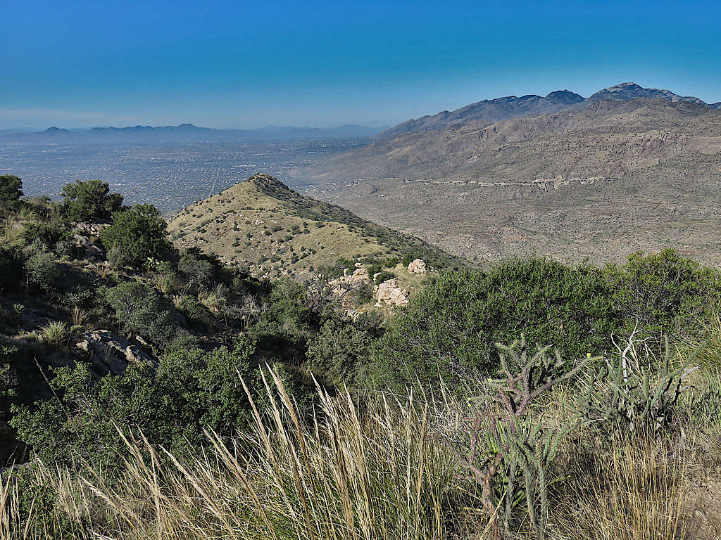
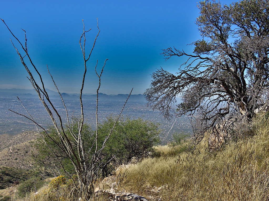
The last piece to the summit felt steep. Looking back at the city of Tucson with the distant Wasson Peak and the closer Point 4774 ft. The high summits of cathedral, Window and Kimball on the right.
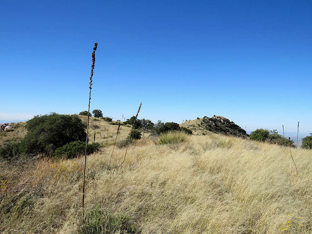
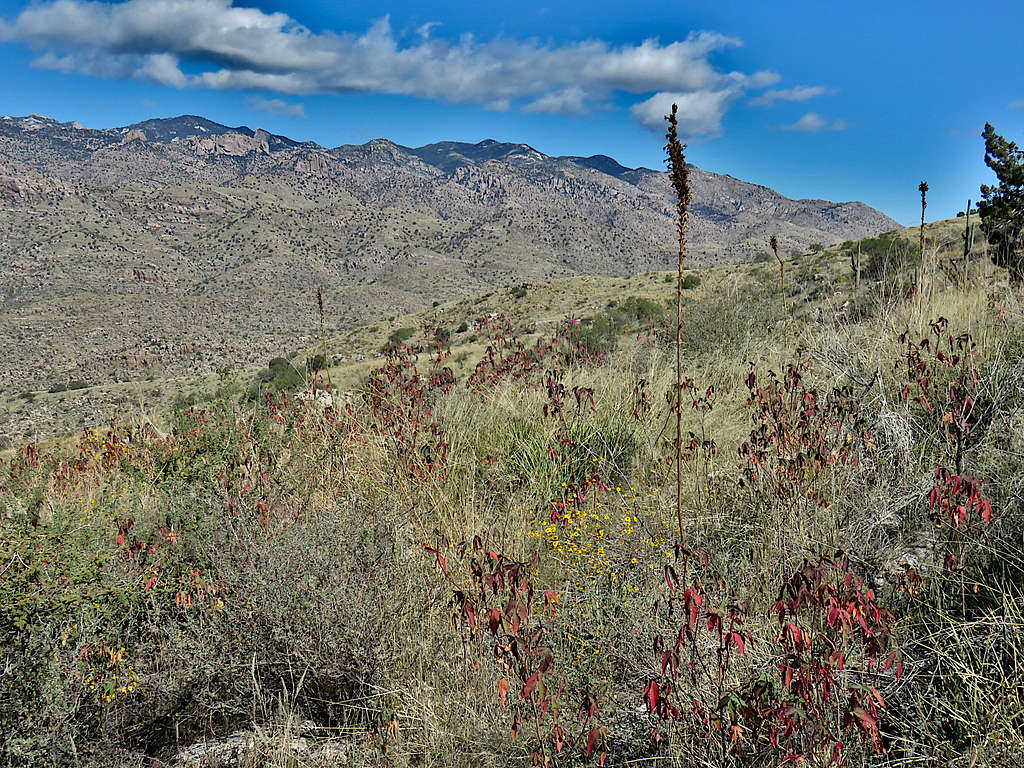
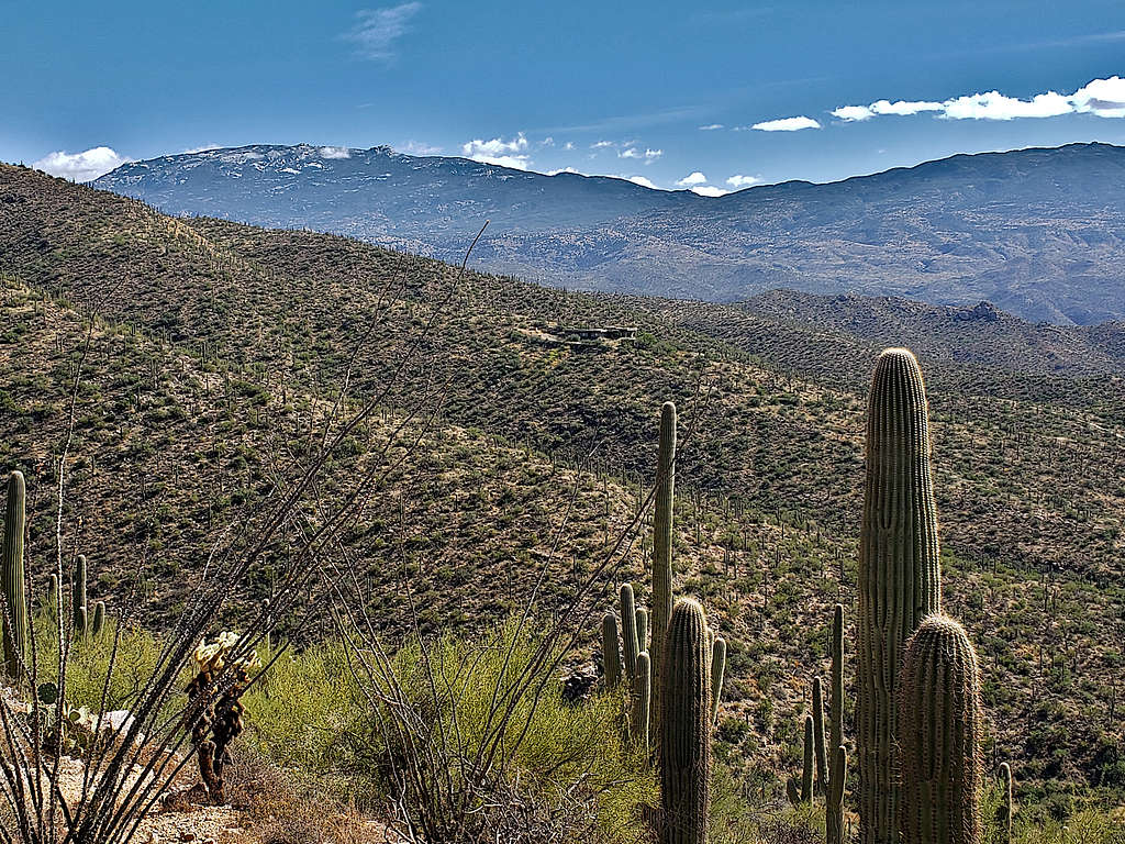
Reached the broad grassy summit at 9:35 AM and 4.69 miles. It actually felt pretty cold and had to put the coat back on again. Took pictures before the other hikers came, then sat there to eat. Zoomed and un-zoomed views of Mica Mountain and Tanque Verde Peak to the south/southeast.
Zoomed view of Mt. Wrightson and Hopkins to the south/southwest.
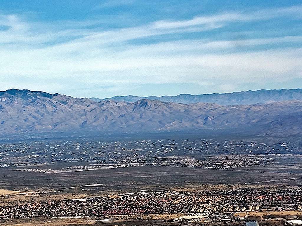
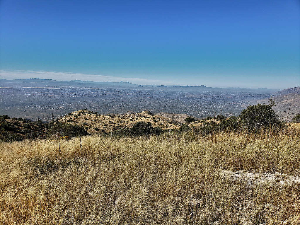
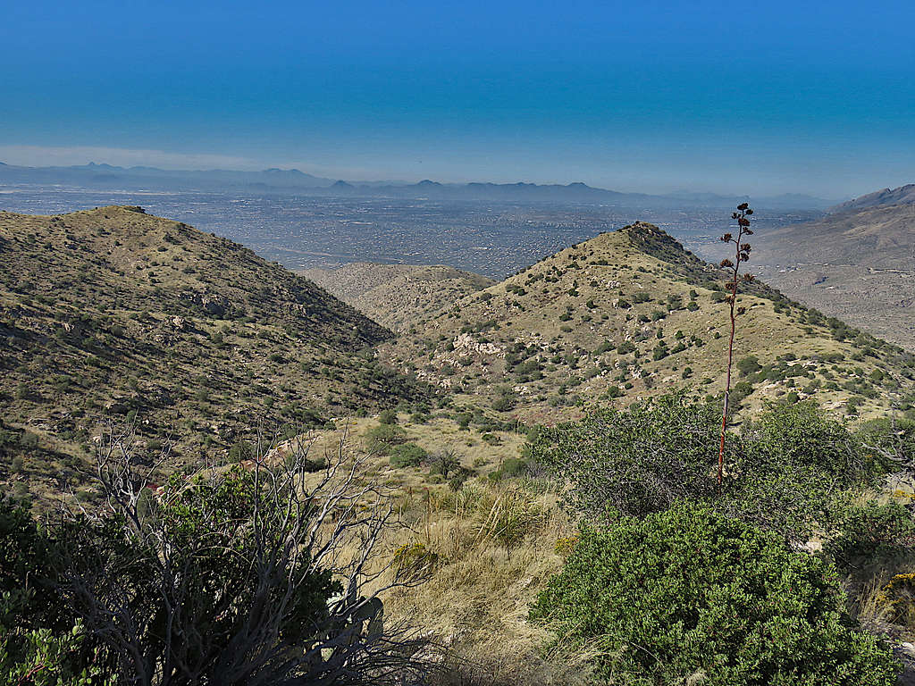
Looking west at the city of Tucson. Wasson Peak, Kitt Peak, Baboquivari etc.
Cathedral Rock, Window Peak and Mt. Kimball to the northwest.
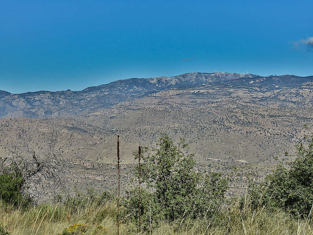
Mount Bigelow to the north.
Green Mountain to the north.
Looking east.
The three hikers behind me soon reached the summit and then another couple. I left at 10 AM and ran into other hikers every now and then on my way down. Took the coat off and was for the first 10 minutes feeling cold until I warmed up again.
Point 4774 ft.
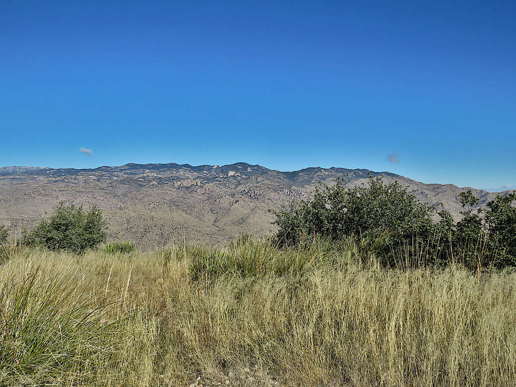
Looking back at the summit.
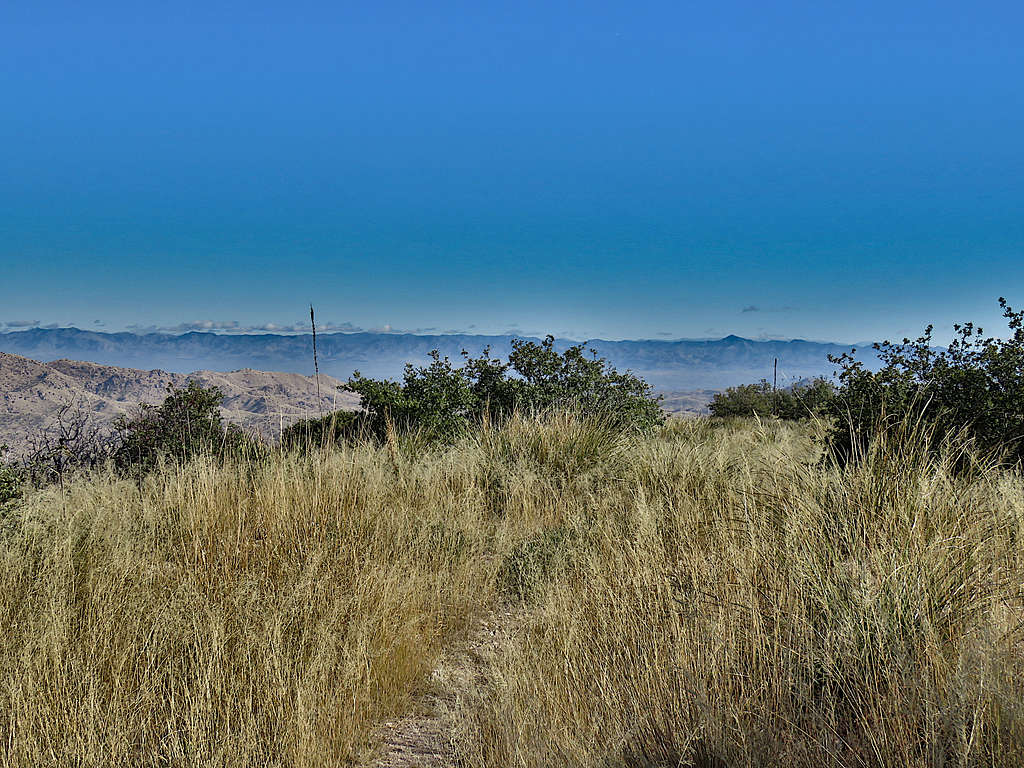
Further down.
Green Mountain.
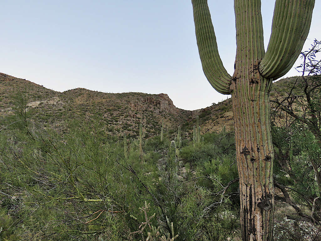
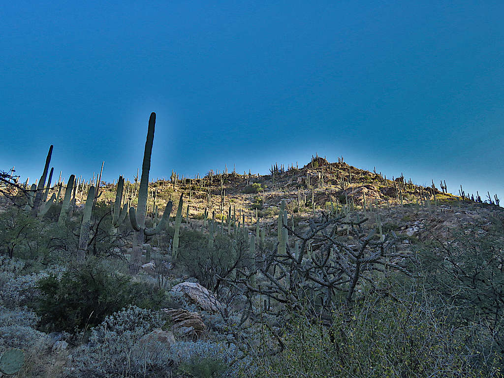
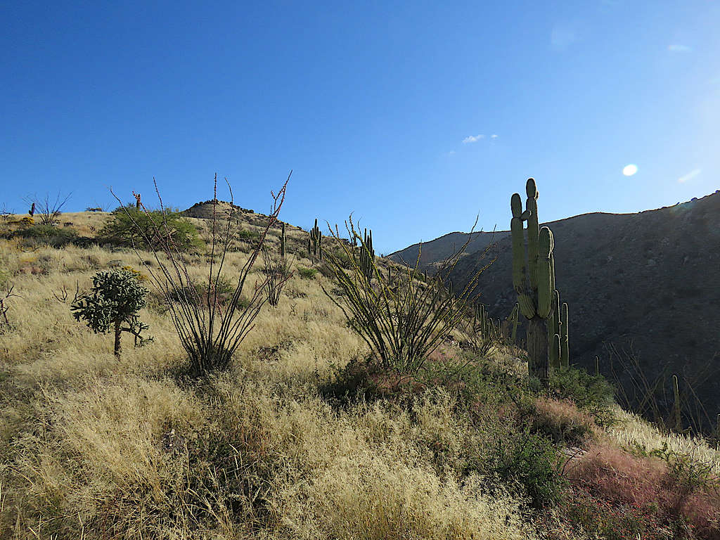
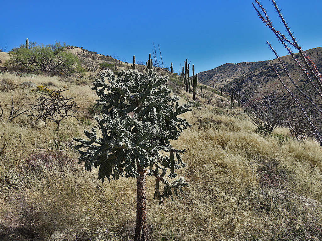
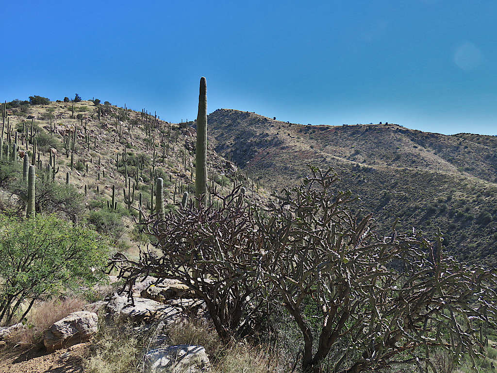
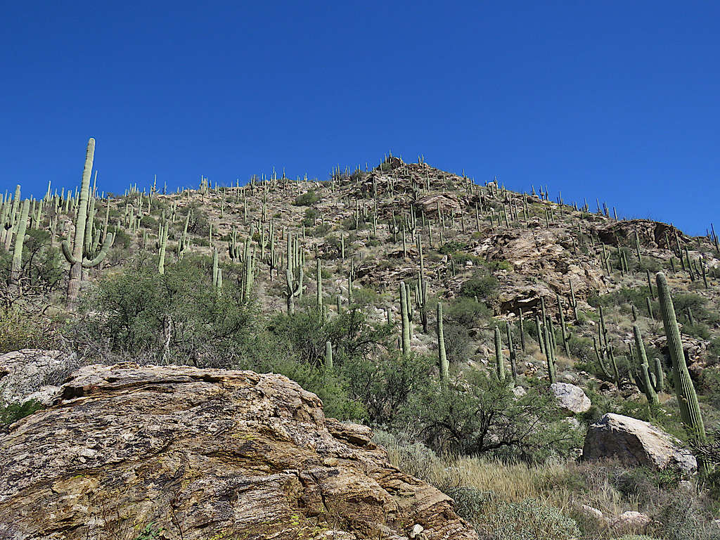
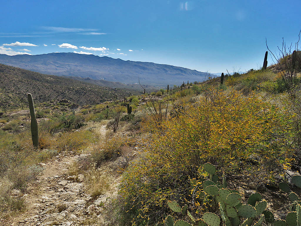
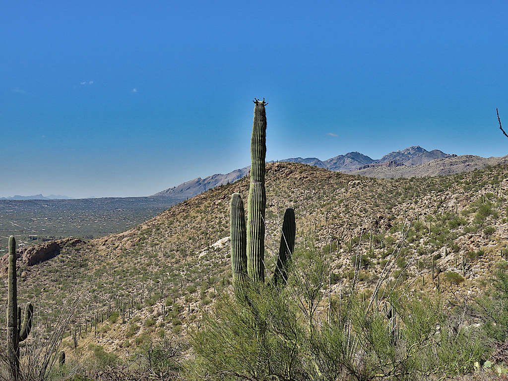
Saguaros appearing below 4000 ft elevation.
Near Cat Track tank.
I had less than 2 miles to go when I tripped on a rock and fell on my right elbow and knee so hard that my brain and intraabdominal organs jarred. I immediately moved my leg and fortunately felt that I could still move it but at the same time thought that if I were to have a serious injury, better here where there were occasional people on the trail than 48 hours ago when I was all alone deep in the wilderness of Mt. Lemmon. Getting up made me dizzy and nauseated. After drinking water, I felt better. There was a one-inch hole in my pants with a 3-inch blood stain. I did not even look at my elbow until I was back at the house. Quickly began to walk thinking that I did not want to get stiff. My pants rubbed against the skin wounds and caused a burning sensation but that eventually went away. Glad that I was still in one piece and going.
Mount Mica and Tanque Verde Peak.
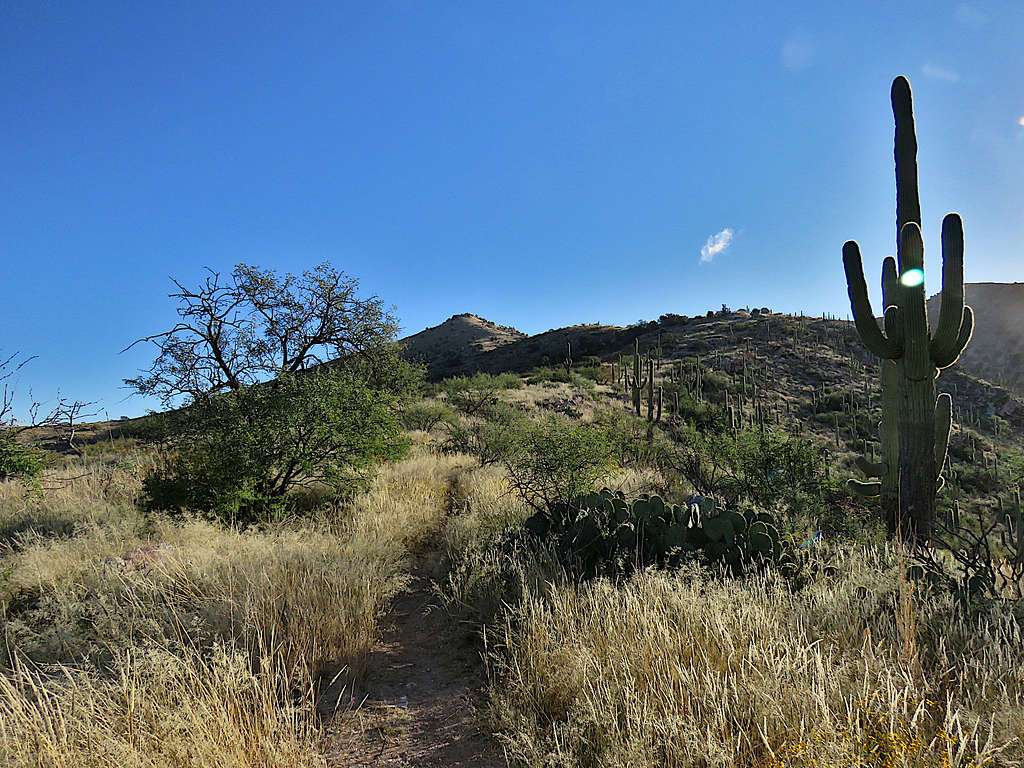
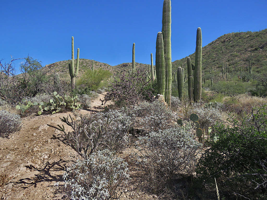
Near trailhead.
Reached my car at 12:33 PM.