
Comments
No comments posted yet.
|
|
Trip Report |
|---|---|
|
|
36.23249°N / 115.6461°W |
|
|
Download GPX » View Route on Map |
|
|
May 29, 2023 |
|
|
Mountaineering |
|
|
Spring |
Charleston Peak
The 11916 ft Charleston Peak is the highest summit in the Spring Mountains of Nevada an hour drive north of the city of Las Vegas. The abrupt rise above the desert floor makes Charleston Peak the 8th most prominent peak in the United States outside of Alaska ands Hawaii. Its summit can be reached via a loop trail each arm of which is 17-18 miles roundtrip with roughly 5000 ft of elevation gain (given the ups and downs on the trail).
It was early December 2022 when I felt that I needed to get Charleston Peak off my “To Do List”, therefore I made reservations for a 3-day trip to Las Vegas for the last weekend in May 2023. After years of low snow/drought, winter 2023 turned out to become the second snowiest year on record. As we got closer to my trip, I began having doubts that I could do the 18-mile day hike in deep snow so I began to think about alternative peaks that I could potentially climb.
Griffith Peak
At 11056 ft, Griffith Peak is the 3rd highest Peak in the Spring Mountains. It rises 400 vertical feet above a saddle close to where the South Loop of Charleston Peak Trail goes. At only 8.7 miles roundtrip with 3400 feet of vertical gain, I had thought of Griffith Peak as an attractive alternative should Charleston Peak prove to be too lofty of a goal to achieve.
Trailhead Elevation: 7650 ft
Highest Elevation Reached: 10360 ft
Hike Length: 7.0 Miles
May 29, 2023
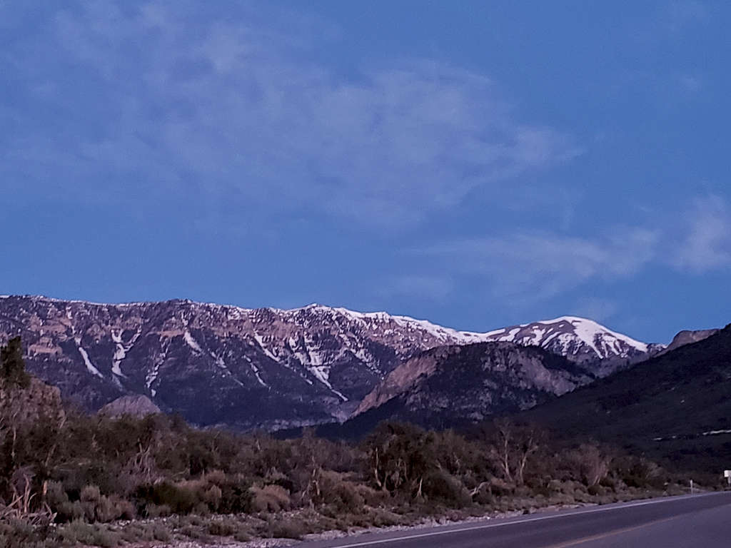
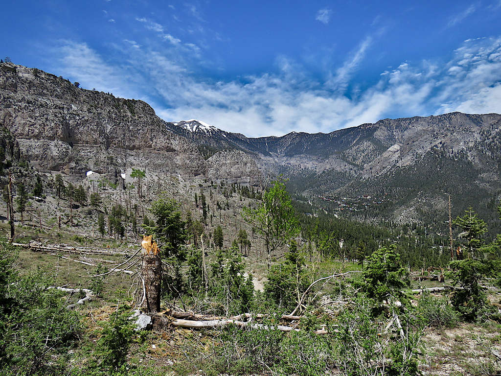
Left the hotel on Las Vegas Strip around 4:20 AM (sunrise 5:30 AM). While driving on Kyle Canyon Road, I stopped at a spot to take this picture of Charleston Peak (on the right). The trail climbs the slopes outside the left edge of the picture, then follows the long ridgetop to the summit.
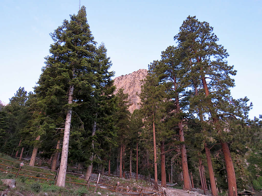
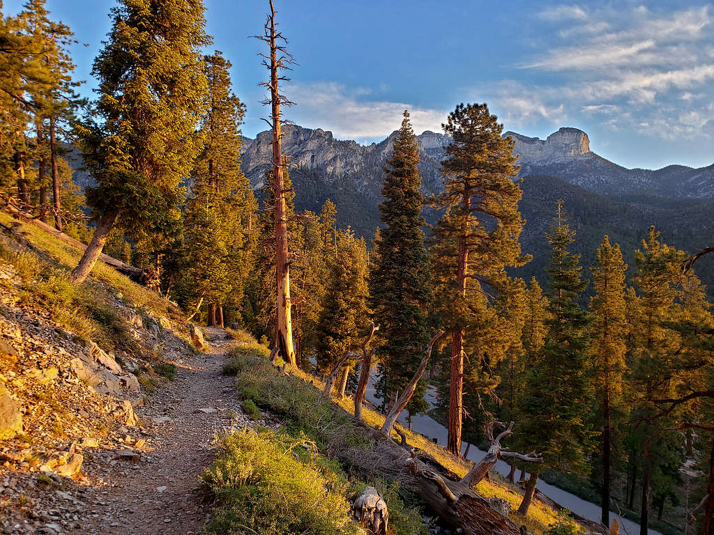
Reached the trailhead and by the time I started my hike, it was 5:24 AM. View of Cathedral Rock.
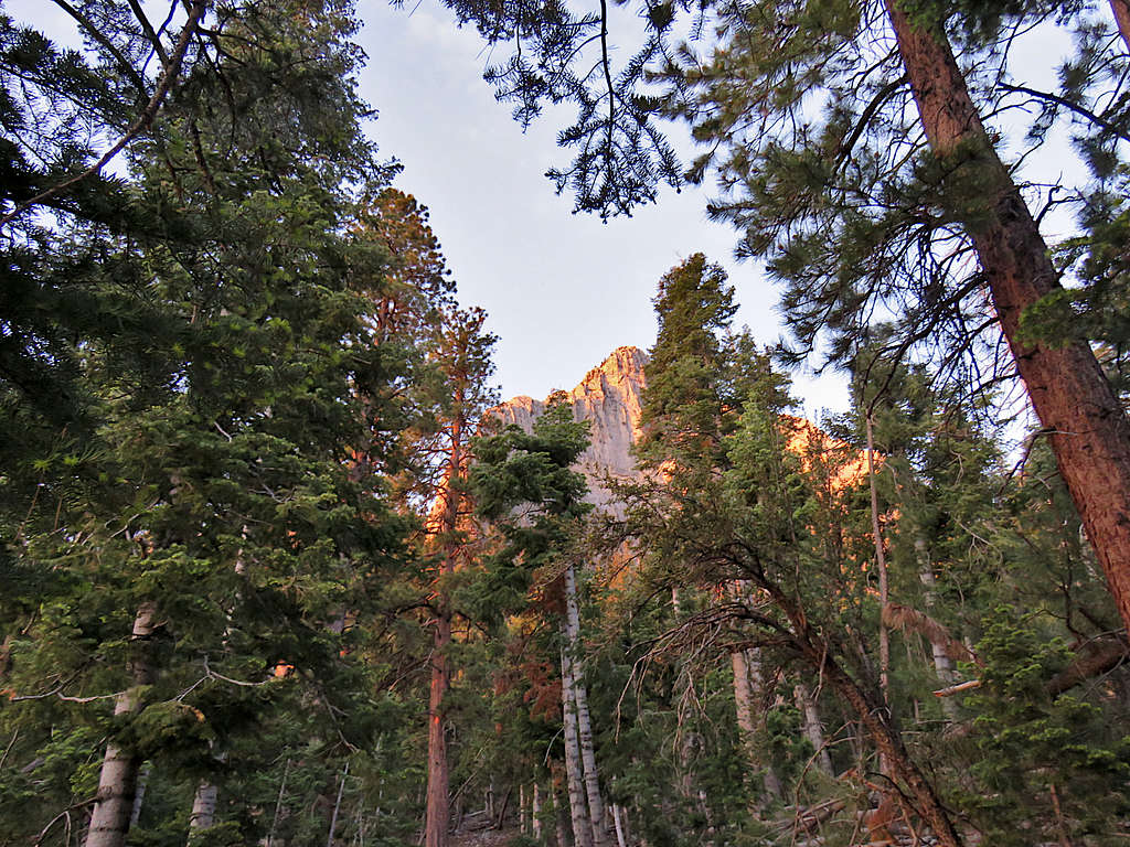
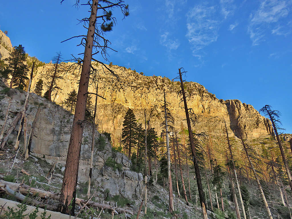
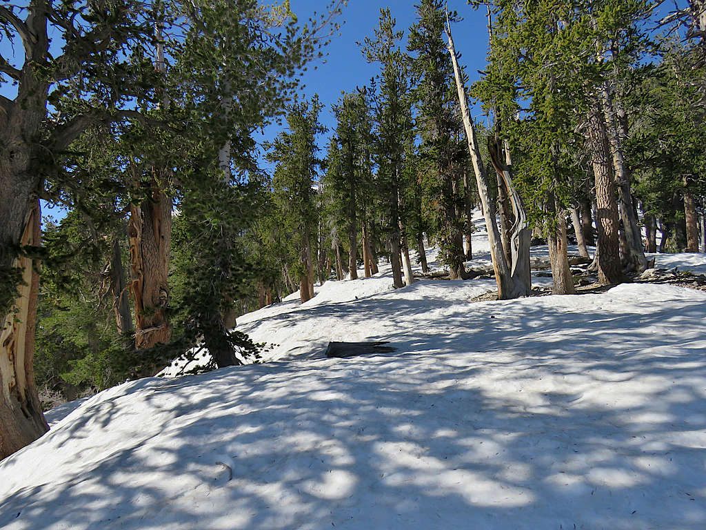
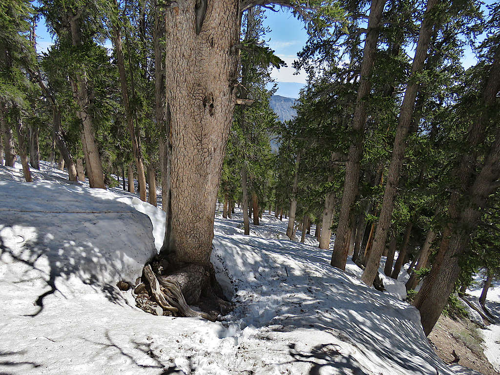
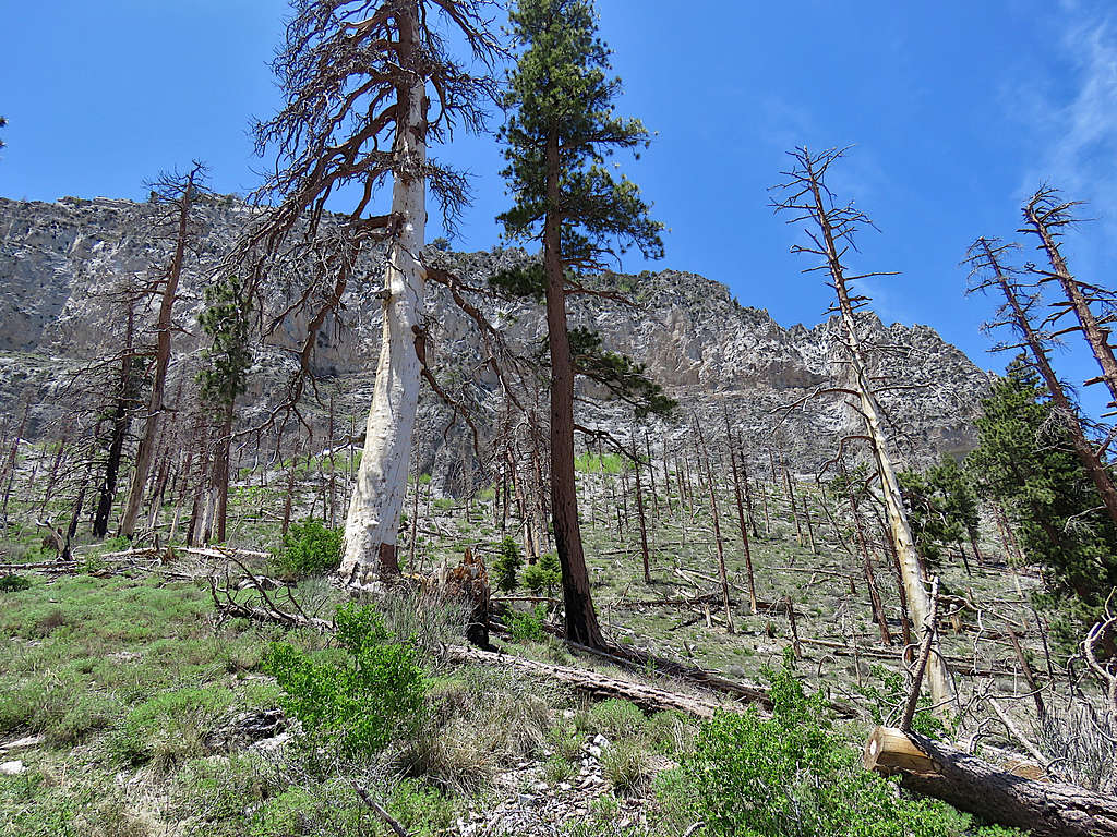
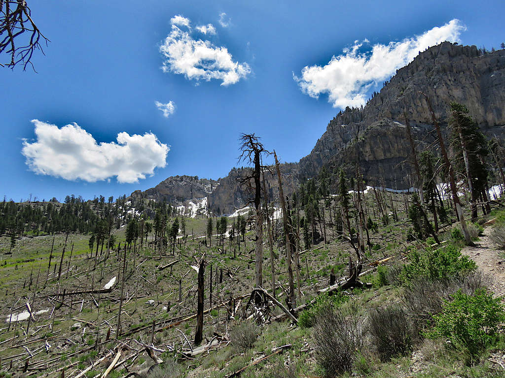
The trail went into a forest of tall pine trees giving me good views of the surrounding cliffs.
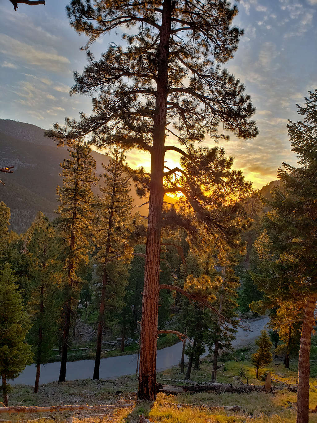
Dramatic views at sunrise.
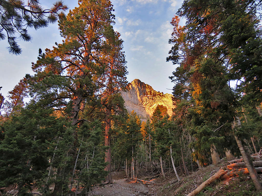
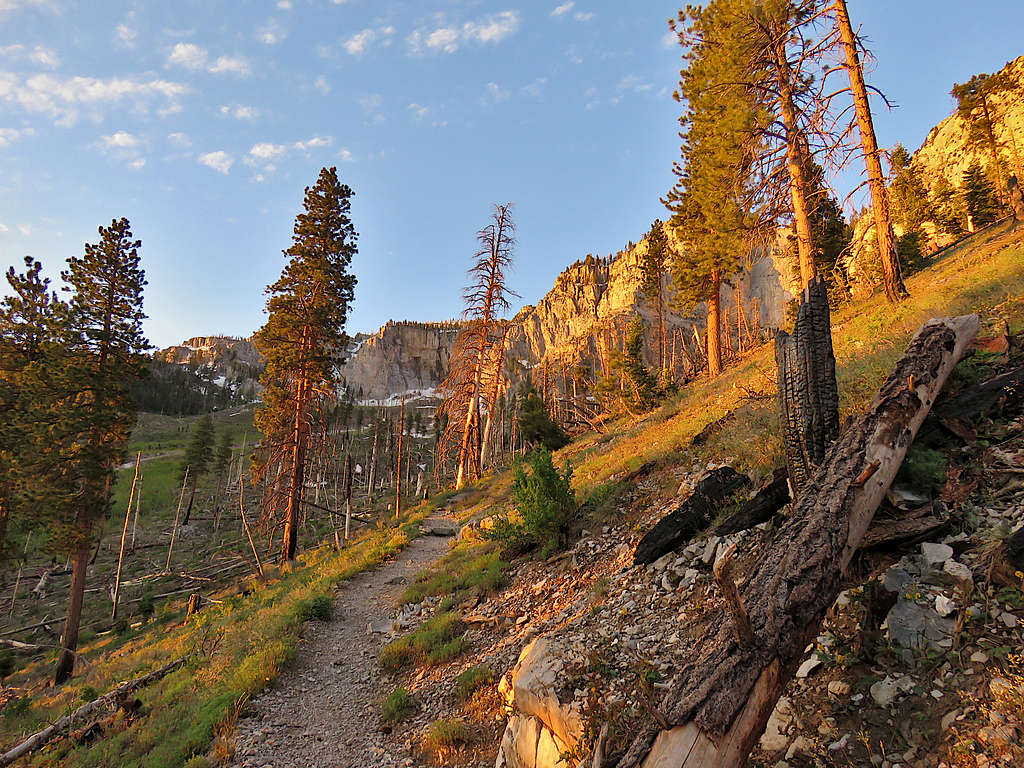
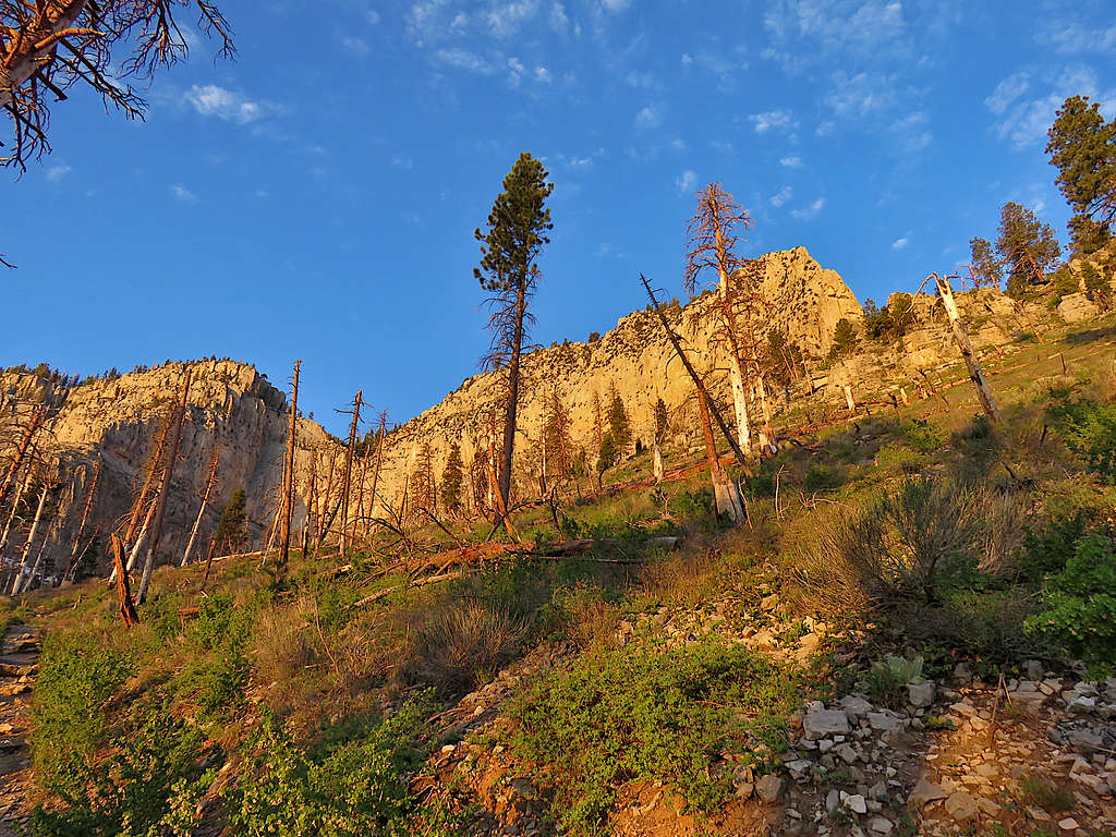
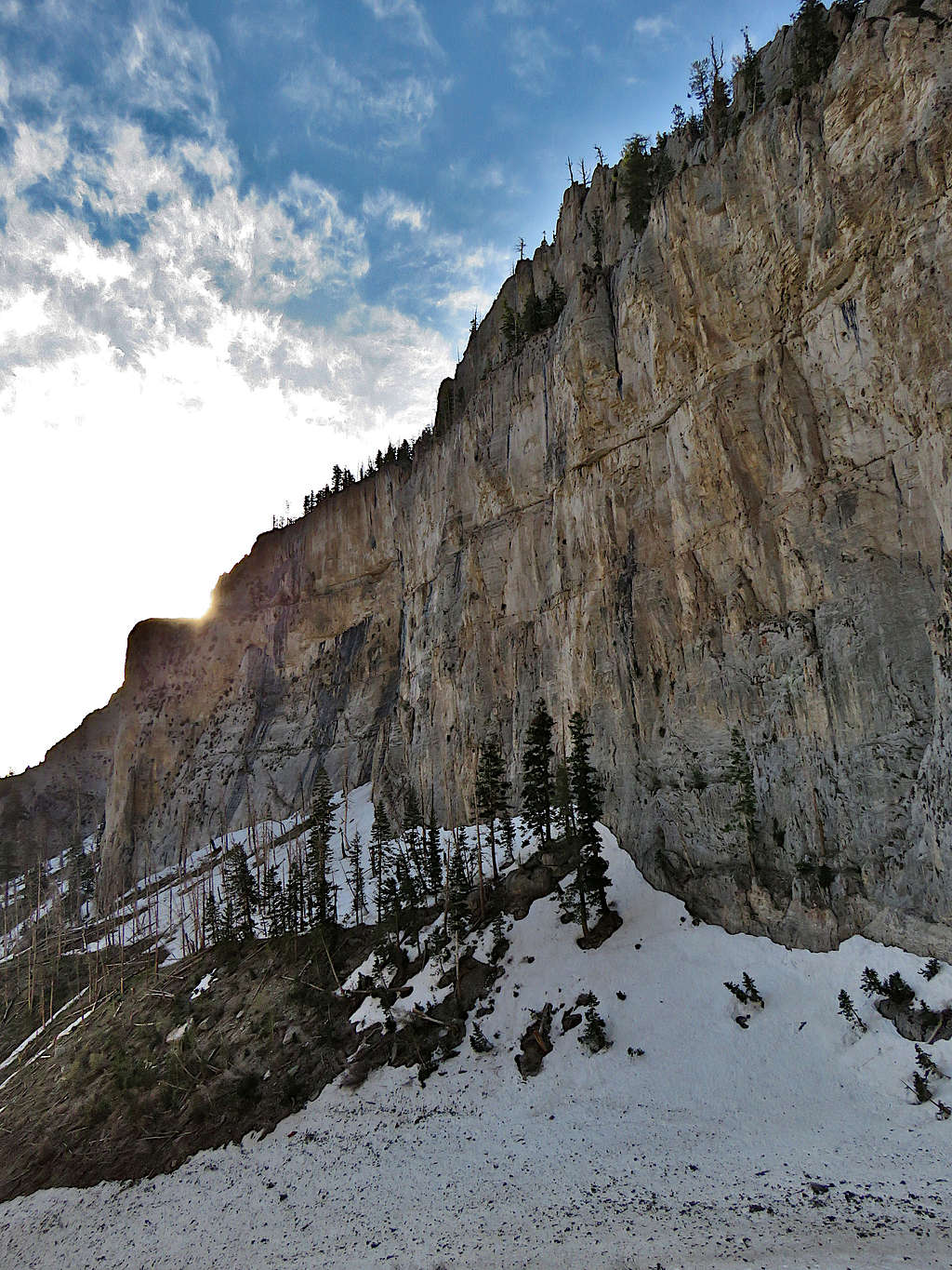
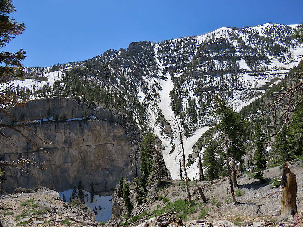
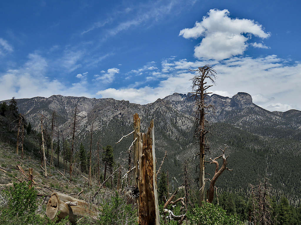
More cliffs.
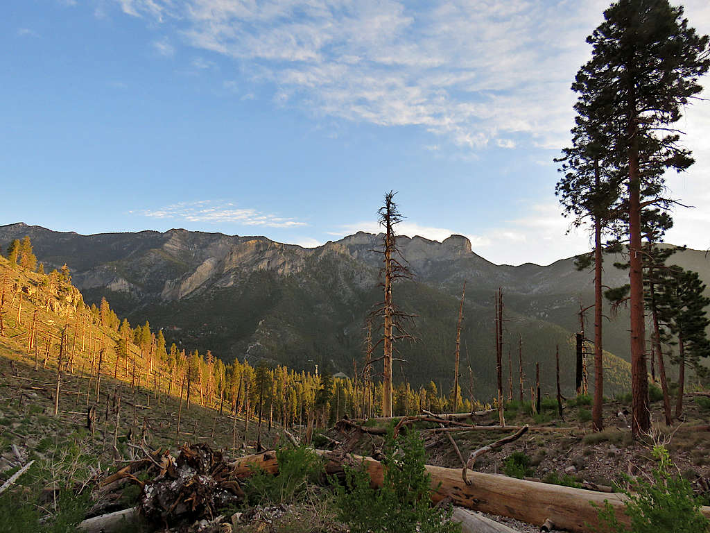
Mummy Mountain.
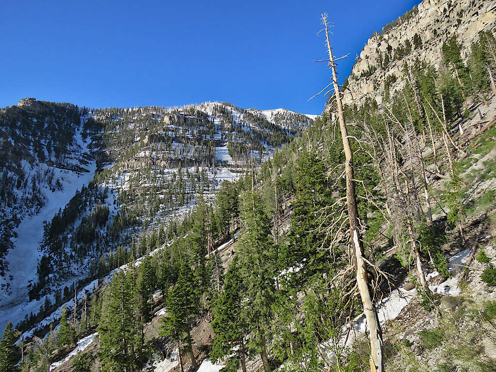
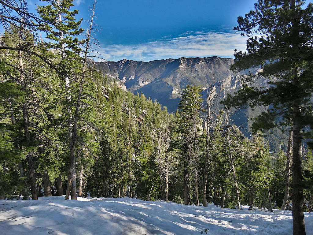
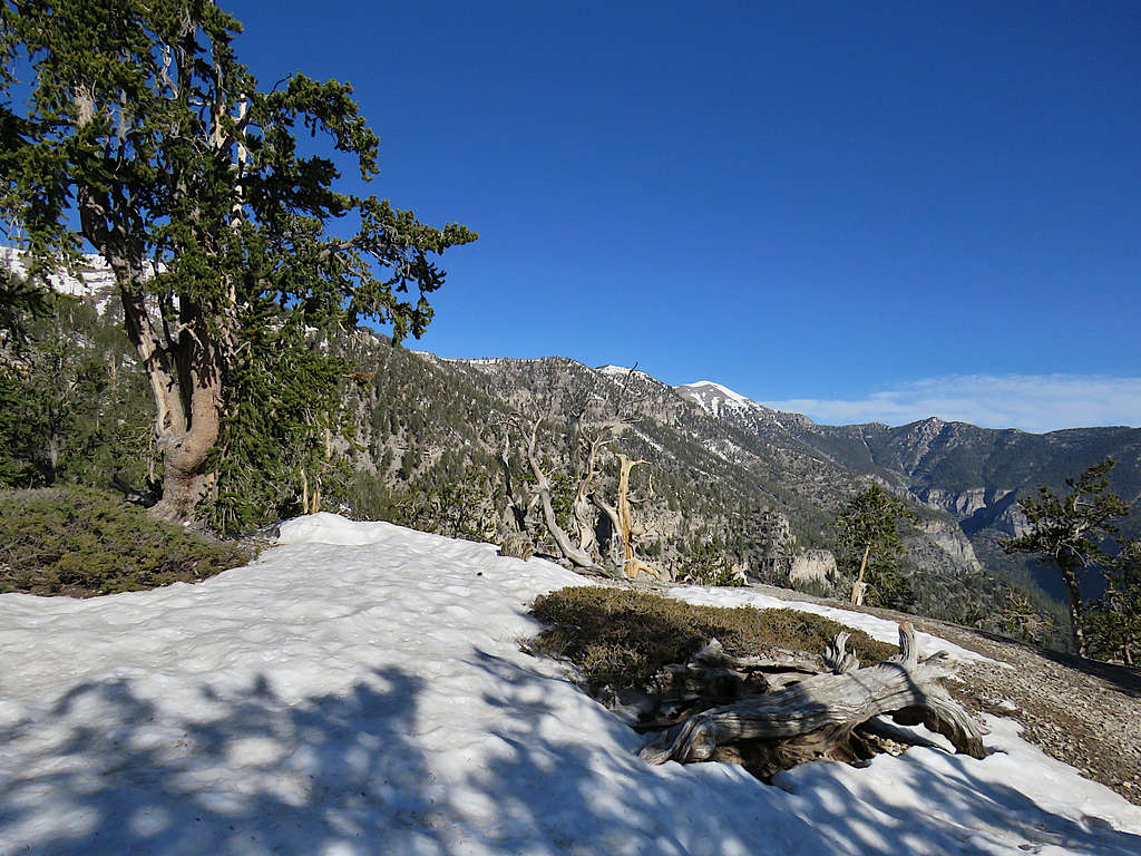
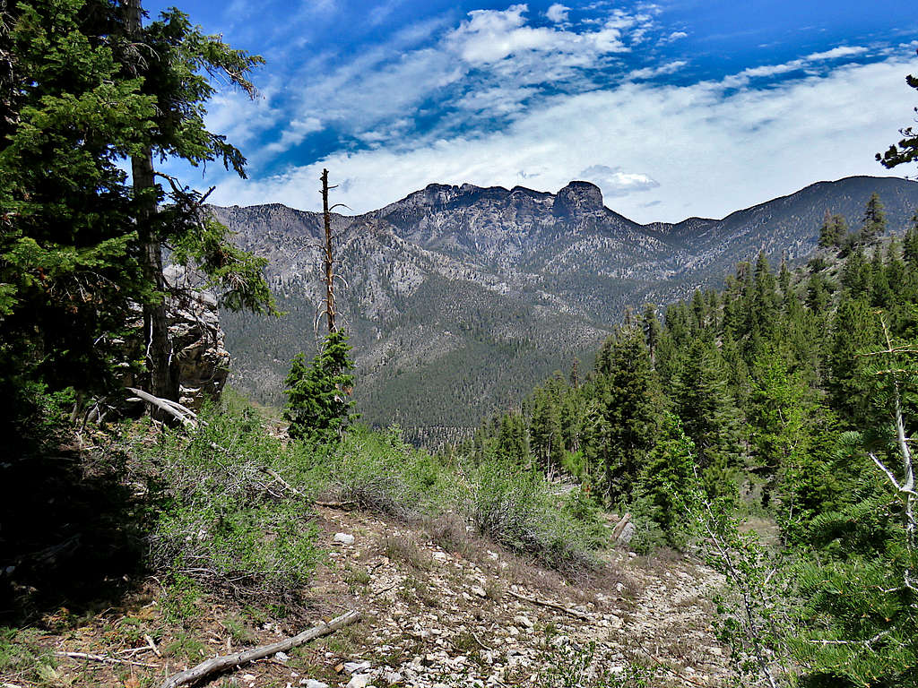
For a short time, the summit of Charleston Peak came to view. Long way away.
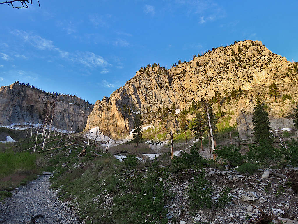
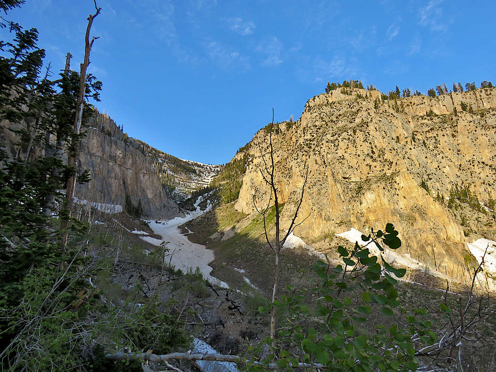
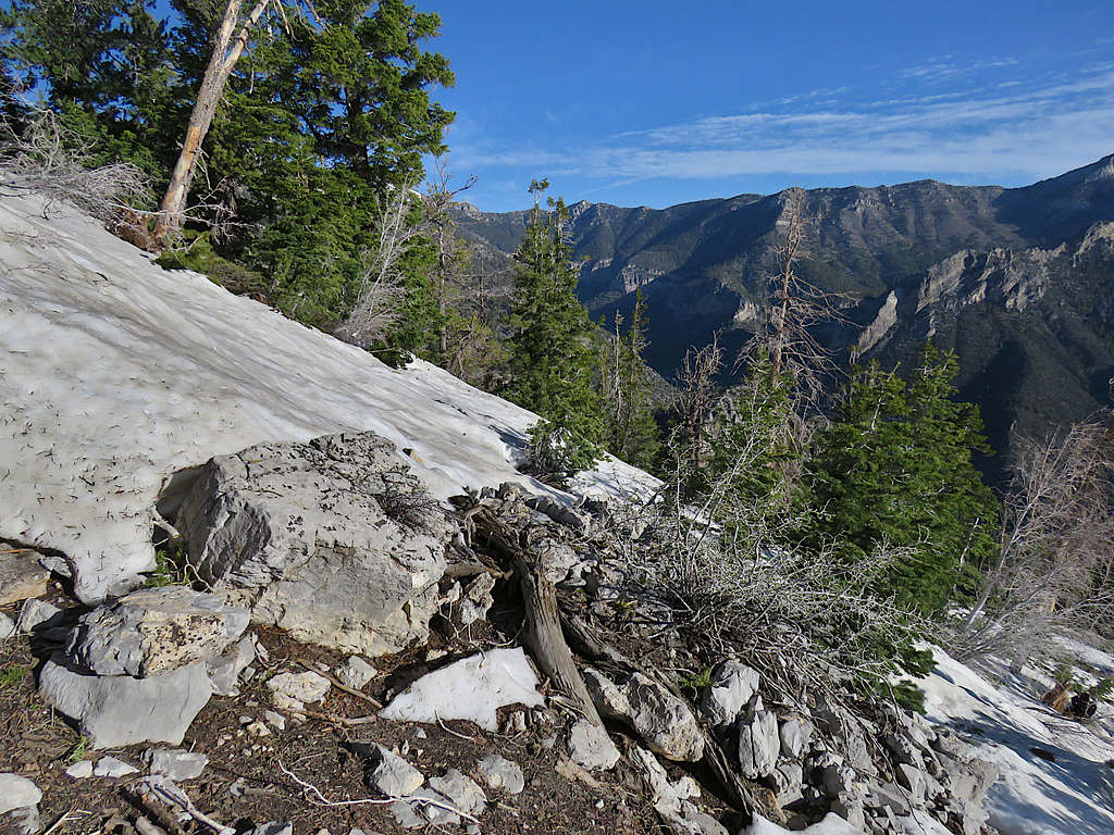
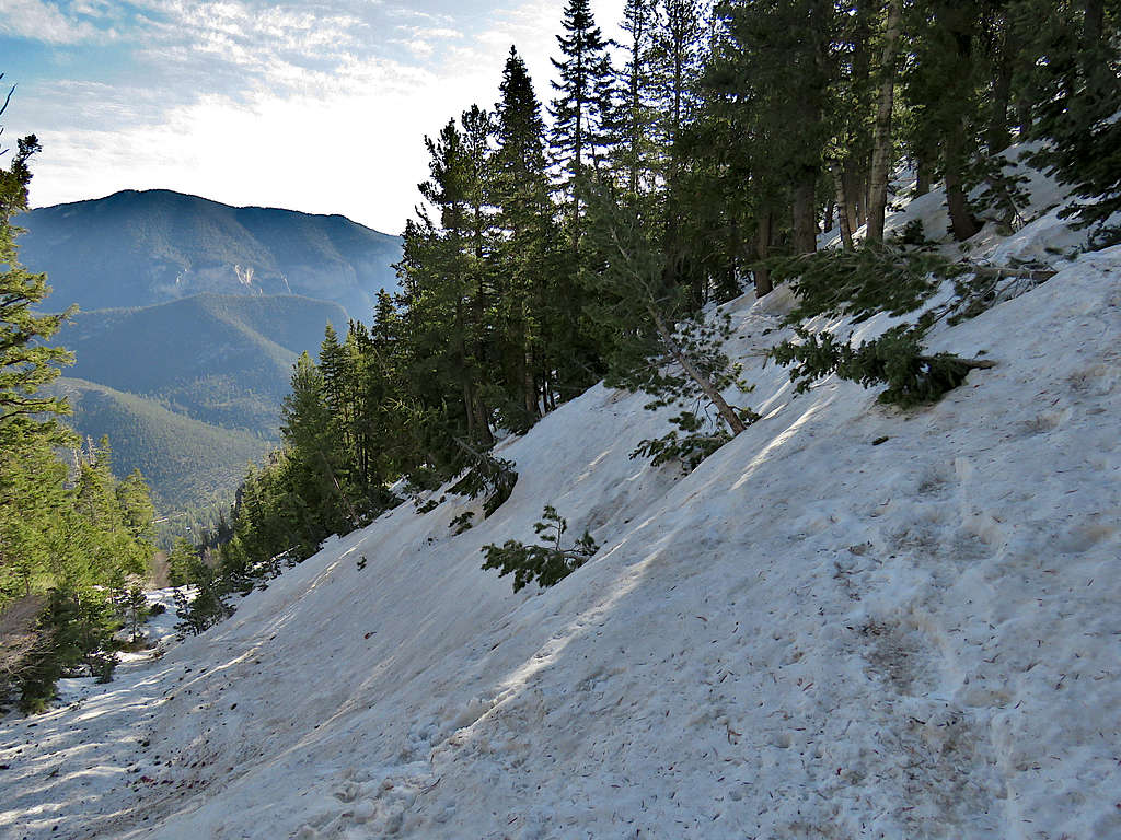
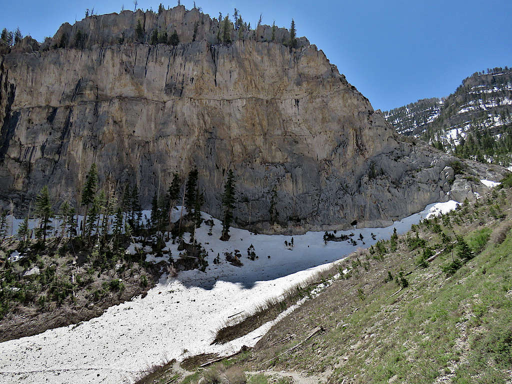
The trail traversed the width of what looked like an avalanche field. The snow was hard and slippery but at that spot, the slope of the avalanche field was quite mild. I was hoping that I would not start running into difficulties so soon. Took this picture a little farther up showing the valley that housed the avalanche.
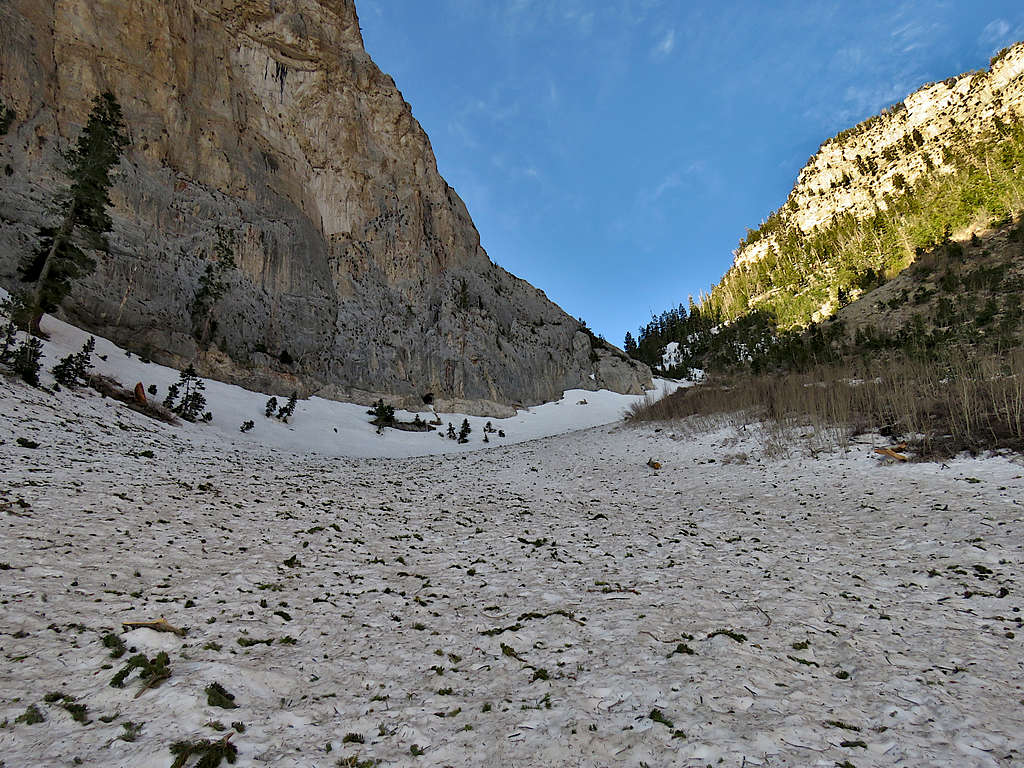
I then had to cross the upper parts of the same avalanche field again. Still nothing difficult.
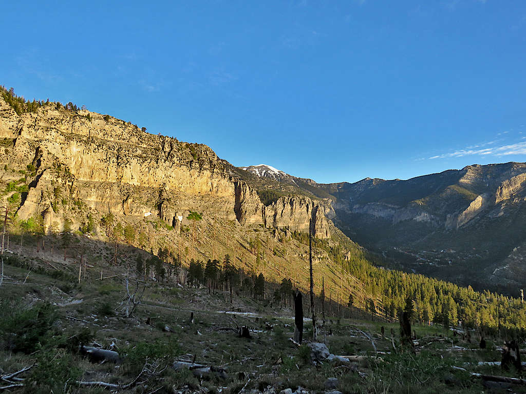
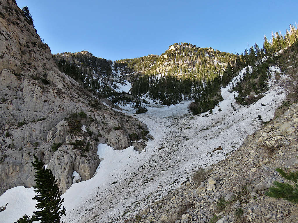
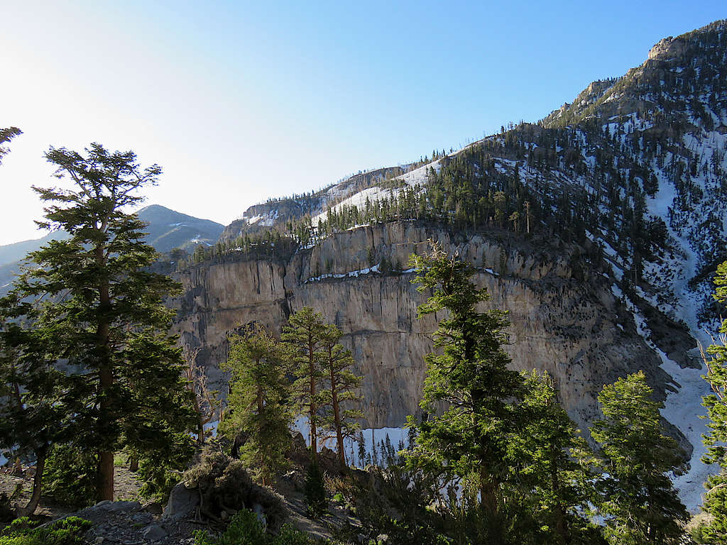
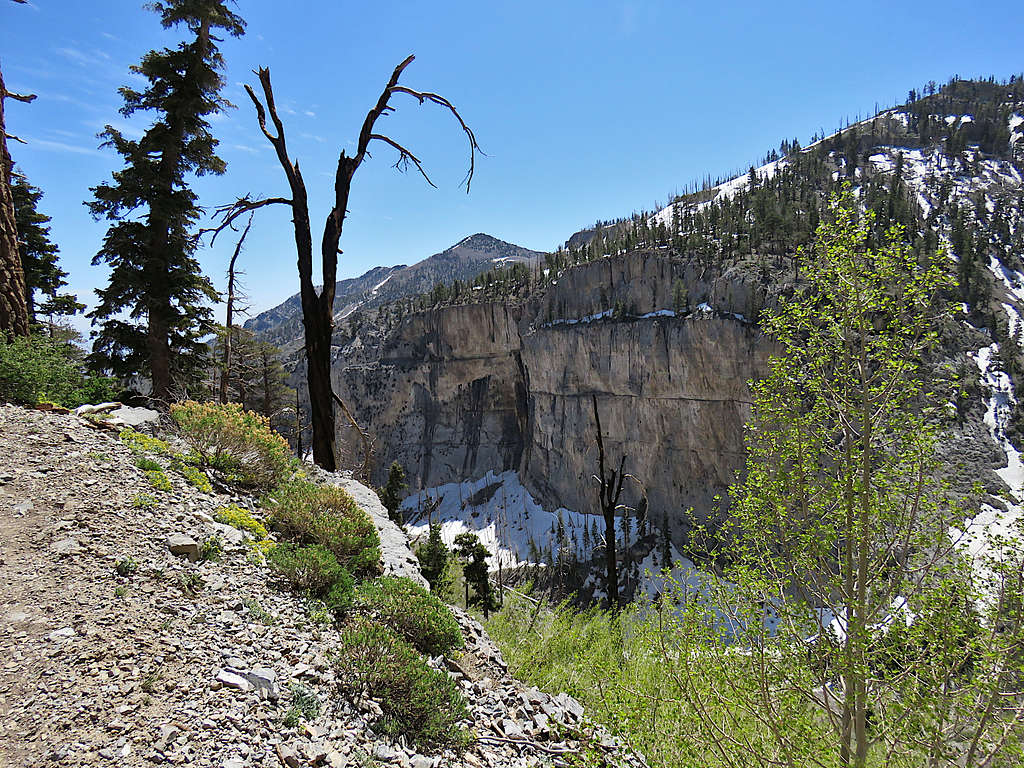
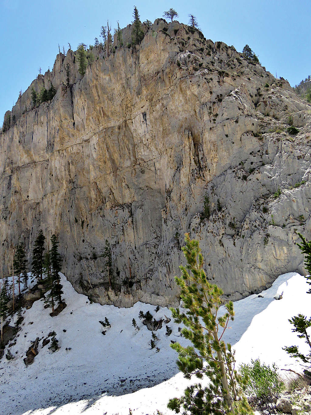
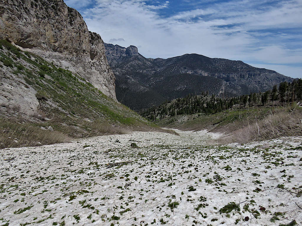
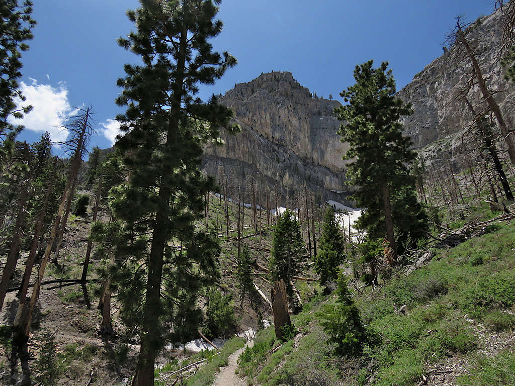
The trail got onto a sunny snow free slope making me happy. A big wall could be seen on the other side.
I could however see slopes that were completely covered by deep snow.
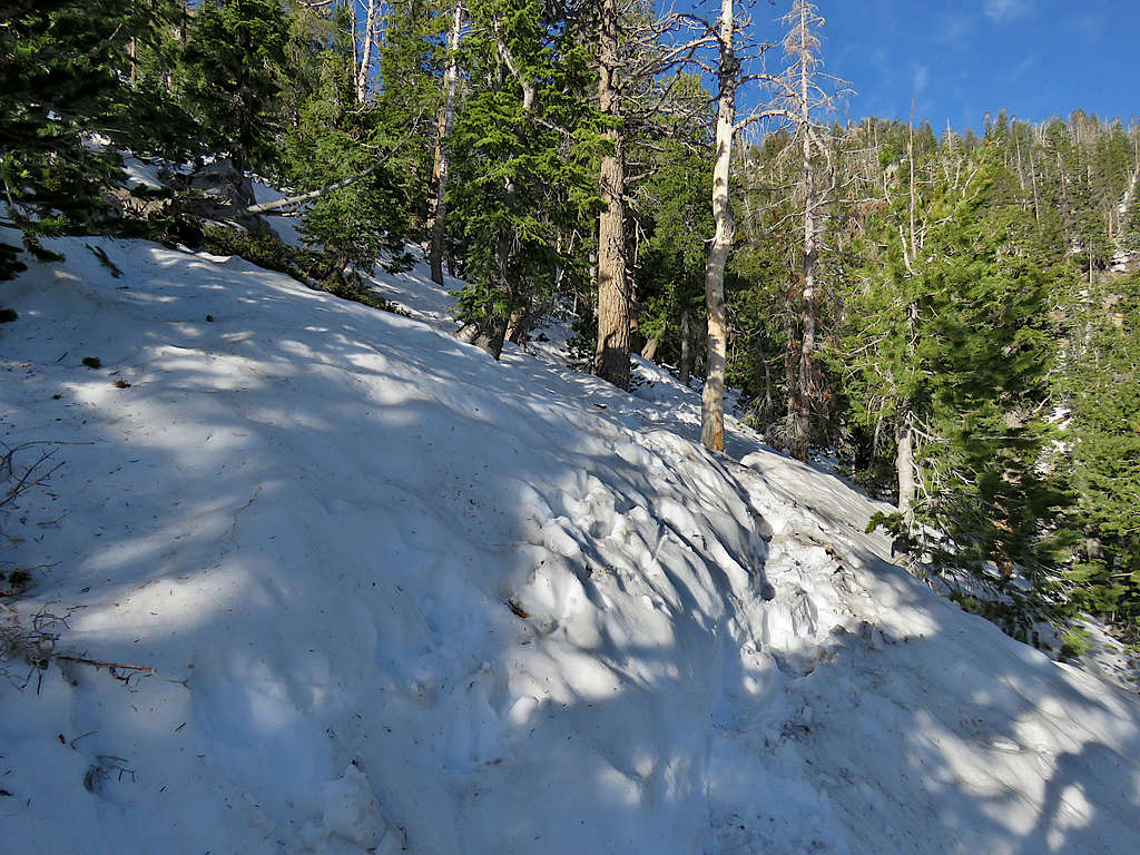
At an elevation of 9100 ft, the trail made a turn and went on a north facing slope that was covered with snow. I could not see any footprints on the snow and the trail itself was presumably buried under the snow.
From Caltopo website, I had downloaded the correct path of the trail into my GPS. It seemed that I could follow a snow free beaten path on the crest of the ridgetop not far from where my GPS showed the trail was, so I began to do that.
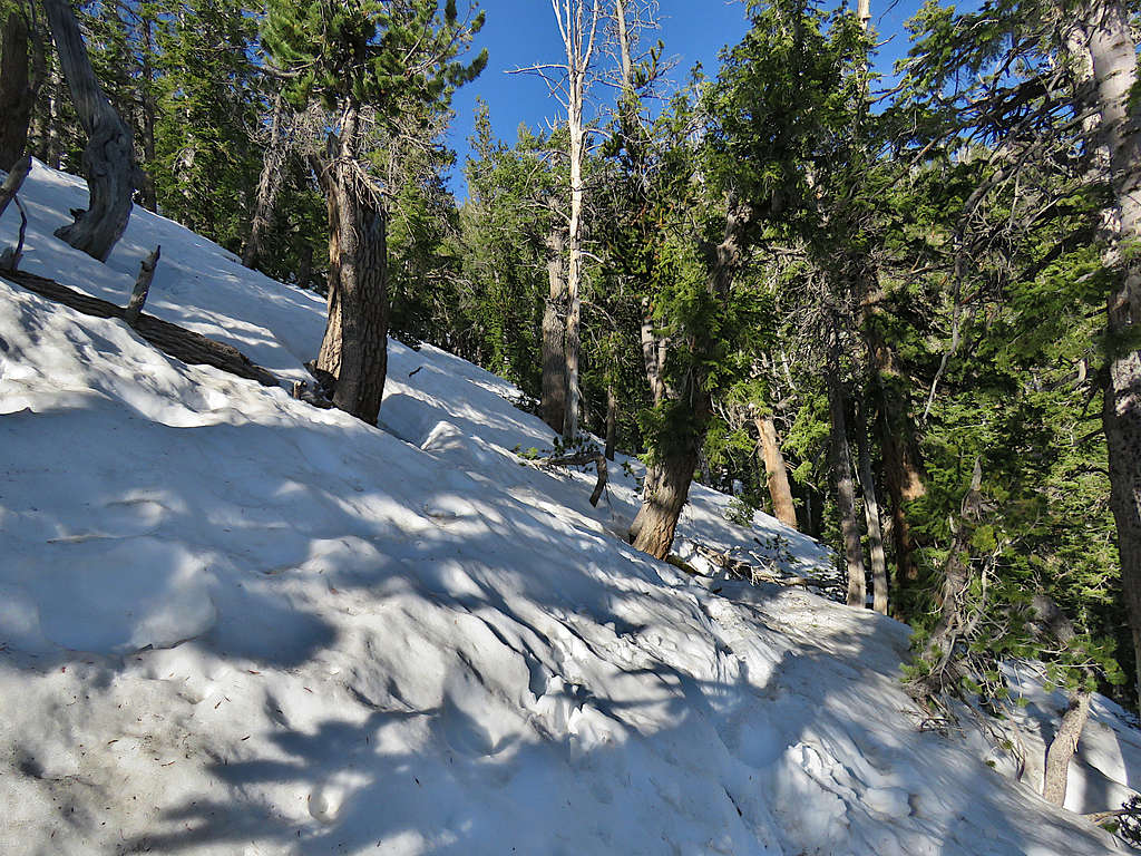
At around 9300 ft, the beaten path disappeared but I could see footprints on deep snow on a forested slope. The snow was not all ice but did have slippery spots. Stopped to put on an old pair of crampons that only had 4 short prongs under the arch of my foot, better than nothing.
Looking back at a steep icy slope I traversed.
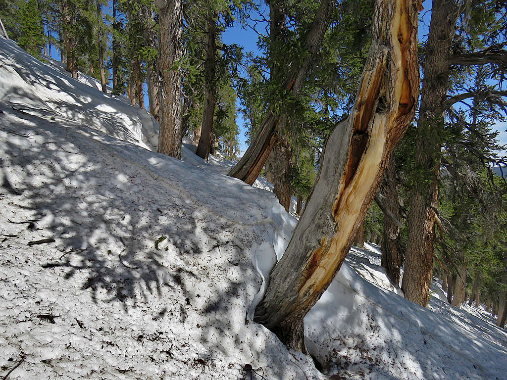
My GPS showed that the trail zigzagged up the slope, but the deep snow left no sign of the trail. I began to go directly up the forested slope. There were a few places where I had to walk over exposed rock, but the crampons did ok.
Got a view of the summit of Charleston again. I knew that once I reached the ridgetop, the rest of the trail might be on a south facing slope that might be snow free but at that moment, I was only hoping to reach the top of Griffith Peak.
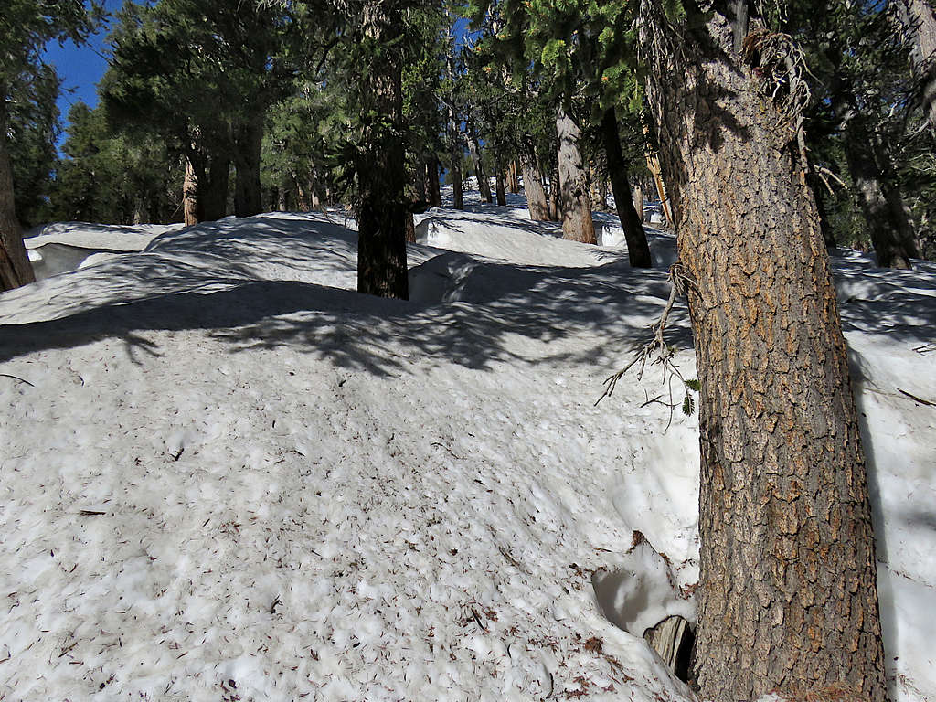
The snow had created its own hilly terrain on top of the slope. Where the slope of the snow hill and the mountain added, it became extremely steep. There was no avoiding the steep spots. There was a deep snow hole around every tree. Going up had become very time consuming. At one point, I slipped, and my wrist got stuck onto the strap of my hiking pole that was deep in the snow. That saved me from going down, but my hiking pole became bent.
By 9:00 AM, at an elevation of 10360 ft, I had had enough. Found a small area with exposed dirt where I sat to eat. It was steep and I had to hold on to my stuff.
I then began to go down the way I had come.
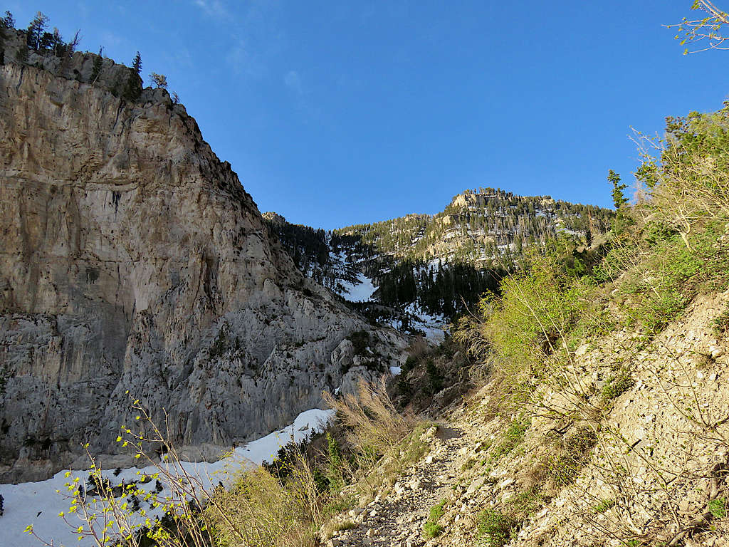
Reached the trail at 10:50 AM and 9100 ft elevation. I was then running into other hikers frequently. View of the wall again.
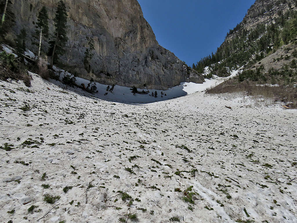
Avalanche field again.
Lower down the trail.
Reached the trailhead at 12:16 PM. Lots of people were around, and the parking area was full.