
Comments
No comments posted yet.
|
|
Trip Report |
|---|---|
|
|
44.06630°N / 121.6753°W |
|
|
Sep 3, 2019 |
|
|
Hiking, Mountaineering |
The 8091 ft high Ball Butte rises in Oregon’s Three Sisters Wilderness to the southeast of Broken Top. During my 6 day hiking trip to the mountains near Bend, Oregon, I had originally planned to climb the 9175 ft Broken Top but I knew that reaching its true summit required technical climbing, which I was not willing to do. The day before the hike, I noted Ball Butte on the map. Google Earth seemed to indicate that reaching the top of Ball Butte via its southern ridgeline would be a walkup. In reality, at 7980 ft, I ran into a small wall that I did not want to descend. There seemed to be another wall beyond that. Maps also showed that with four wheel drive, I could drive to a trailhead close to the base of Ball Butte. Without four wheel drive, which was the case for me, I had to start at Todd Lake Trailhead and walk more than five miles to reach the base of the butte.
Trailhead Elevation: 6120 ft
Maximum Elevation Reached: 7980 ft
Roundtrip Hiking Distance: 11.5 miles
Total Ascent: 2650 ft
Kris and I started our hike on Todd Lake Trailhead at 6:30 a.m. A couple of vehicles were at the parking area but we did not see any other hikers on our way up the mountain. The sun was rising across the valley on Mt. Bachelor but we were in the shade.
The trail went into a forest which in places had very big pine trees and began to go up a slope. We could get glimpses of Todd Lake through the trees. Higher up, the forest became patchy. Could see Mt. Bachelor to the south.
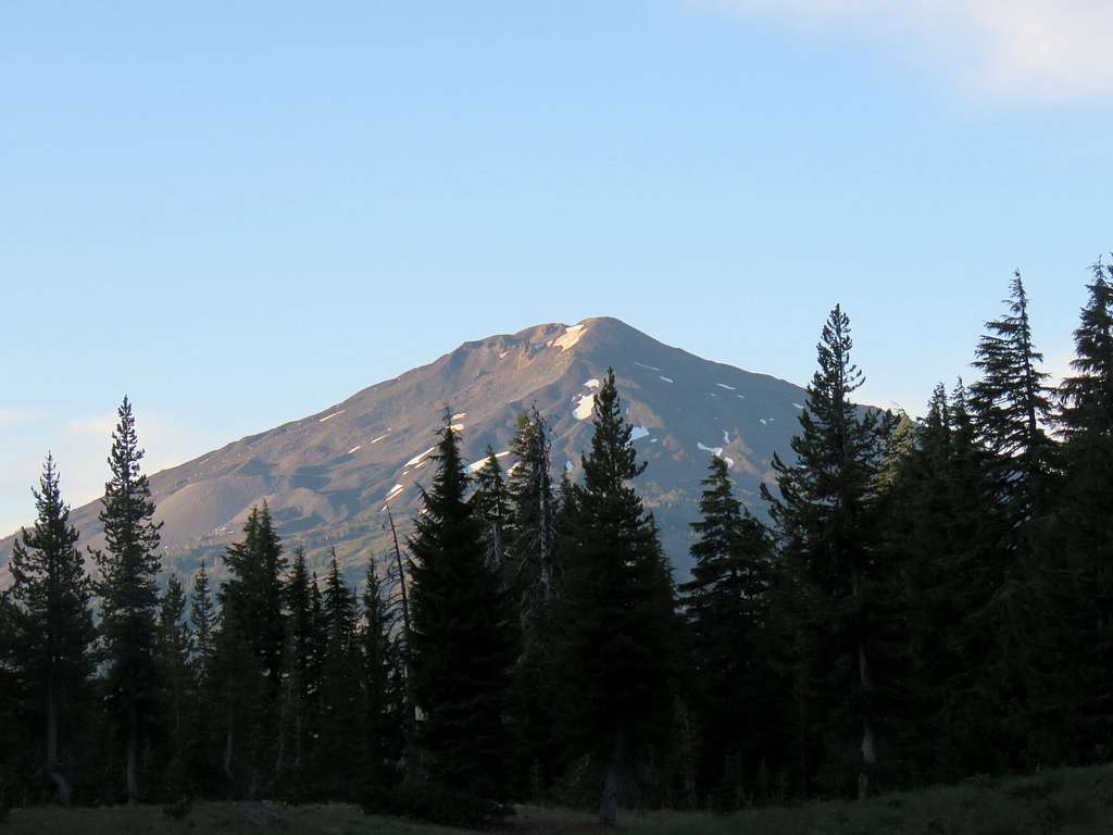
At around 6700 ft elevation, the trail reached a broad high point where we got a spectacular view of South Sister to the northwest.
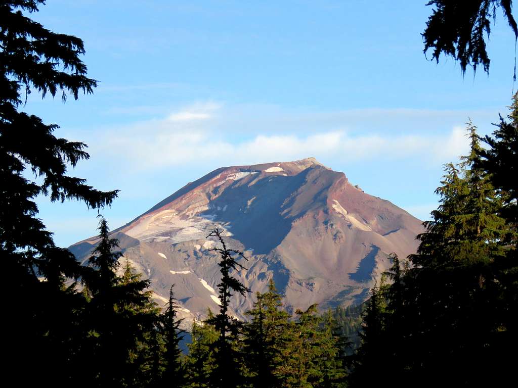
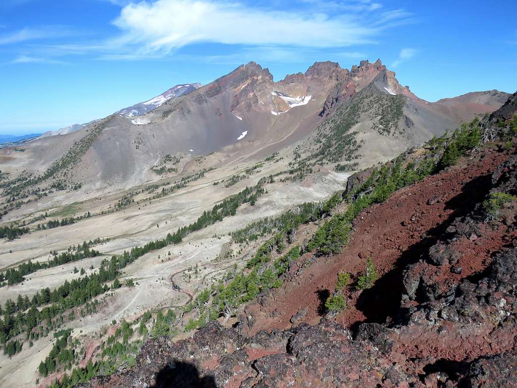
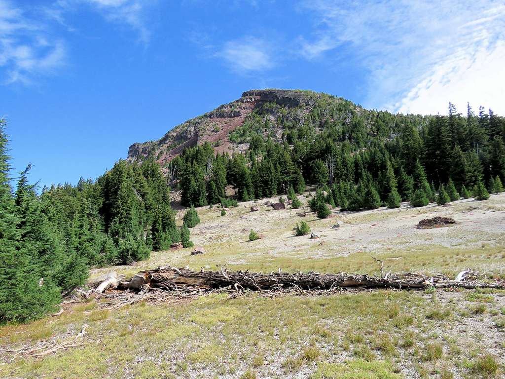
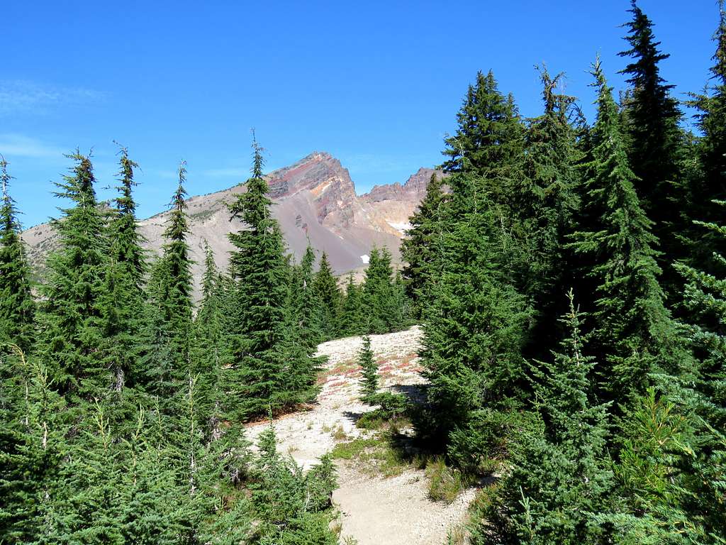
The trail slowly took us down in elevation to a minimum of 6475 ft near the junction with Soda Creek Trail and then began to slowly rise again. The jagged Broken Top with its many summits was then in good view.
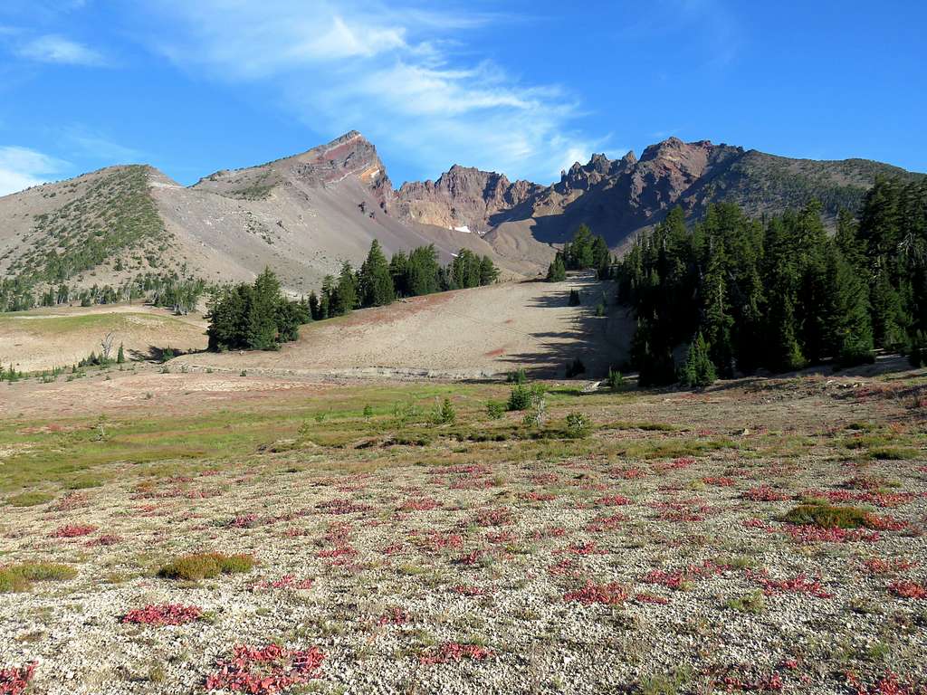
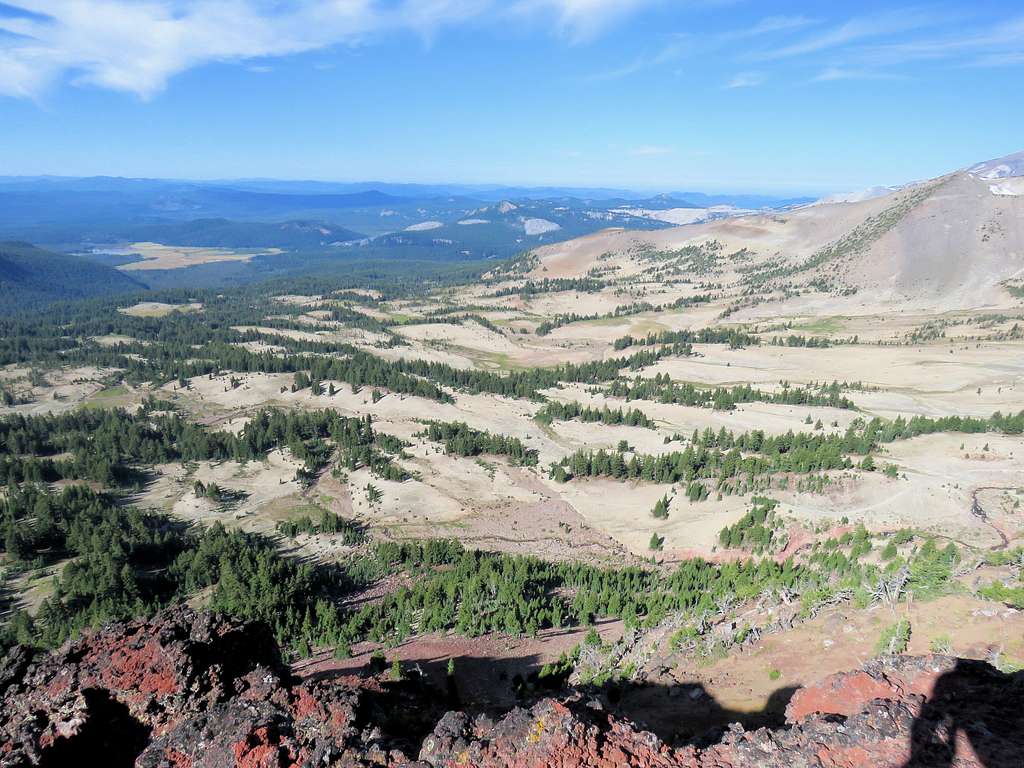
After 3.5 miles, at an elevation of 6740 ft, we reached the Broken Top Trail and turned east onto it. That trail traversed a plain to the south of Broken Top. Strangely the plain had few trees and even little grass. Ball Butte was then in front of us to the east but at that hour appeared as a black shadow.
At 9:00 a.m. at an elevation of 7060 ft and after 5.1 miles of hiking, we reached another trail that went north-south. I knew that I had to leave trail and find my own way to the top of Ball Butte. At that spot, we were less than half a mile away from the four wheel drive trailhead that I mentioned above.
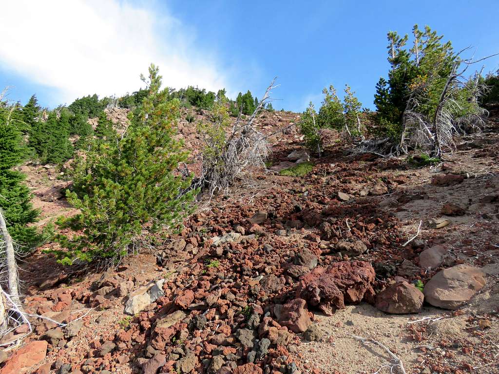
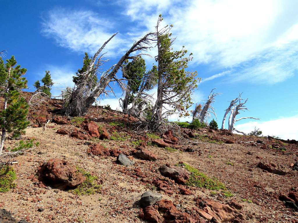
Kris said that he did not wish to go any further. I gave him the Walkie-Talkie and called him on the half hours. Left trail heading east following a path I had entered into my GPS last night using satellite photos as a guide. The path took me up the slopes through small growths of trees separated by large open areas. At around 7400 ft elevation, the slope became very steep. Trees became dwarf and the ground came to be covered by reddish sand/scree. Going up that slope required a lot of energy but I gained elevation quickly.
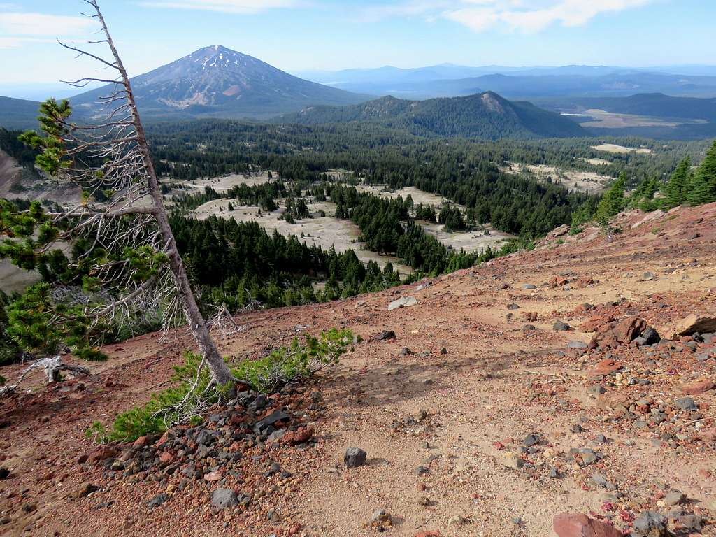
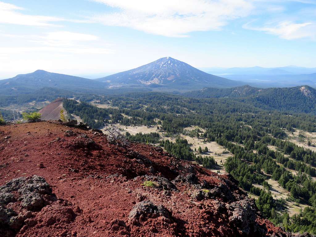
View of Mt. Bachelor from the slope.
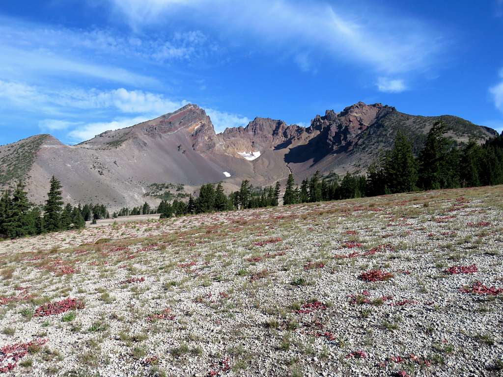
It became less steep and I gained the top of the southern ridgeline of Ball Butte. It became apparent that staying on the ridgetop would lead me to a couple of small walls. I could have descended down the eastern slopes to bypass the walls but I had no appetite to traverse the nasty scree slope just to reach 100 vertical feet higher.
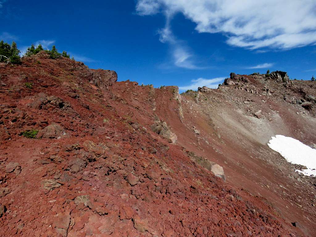
Followed the ridgetop until at 9:43 a.m., 5.8 miles and 7980 ft elevation, I reached a spot where I would have had to go down a wall. Chose to sat there, have my lunch and enjoy the views. I could see people hiking the trail at the bottom of the valley. Broken Top and South Sister.
Slopes to the south of Broken Top.
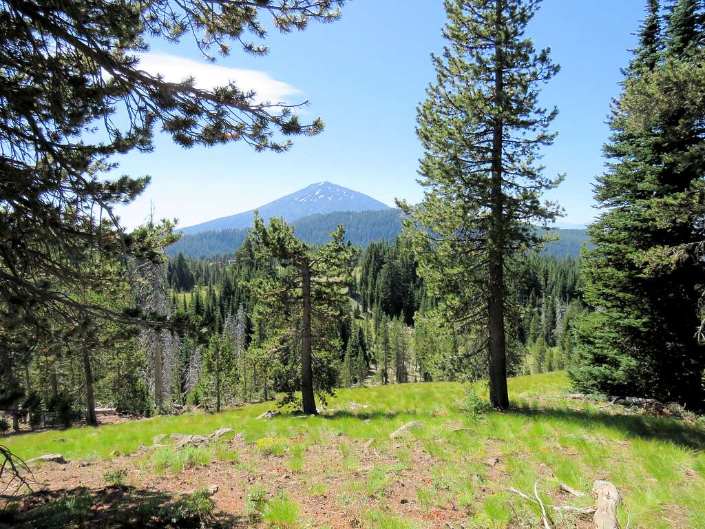
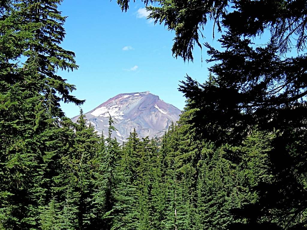
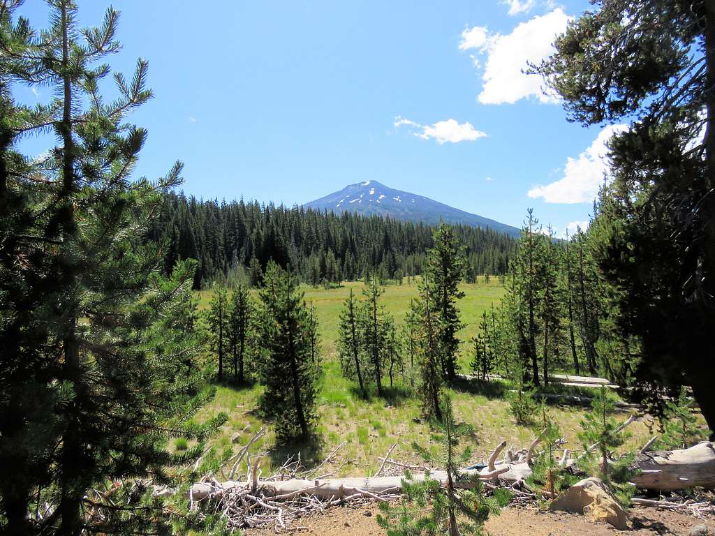
Mt. Bachelor.
Left at 10:05a.m. going back down the red slopes.
Looking back at the slopes of Ball Butte.
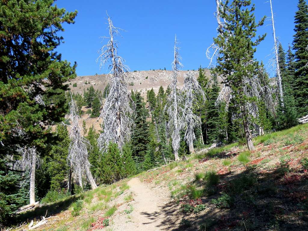
Reached Kris and began to hike back on the trail. We were running into people every now and then.
Another view of Broken Top.
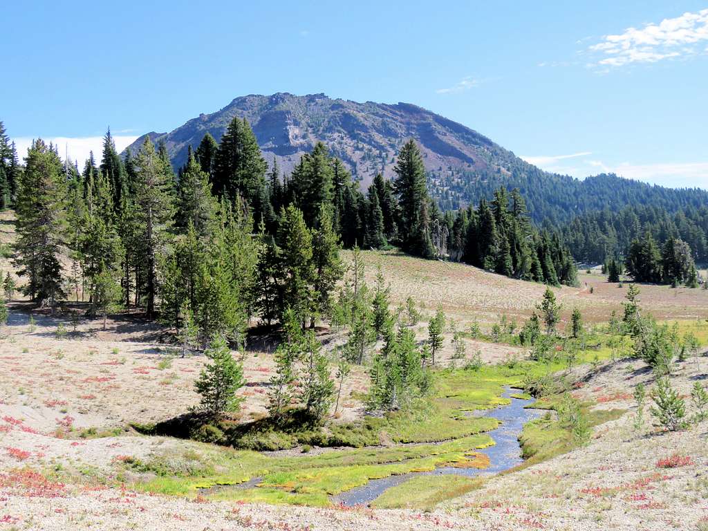
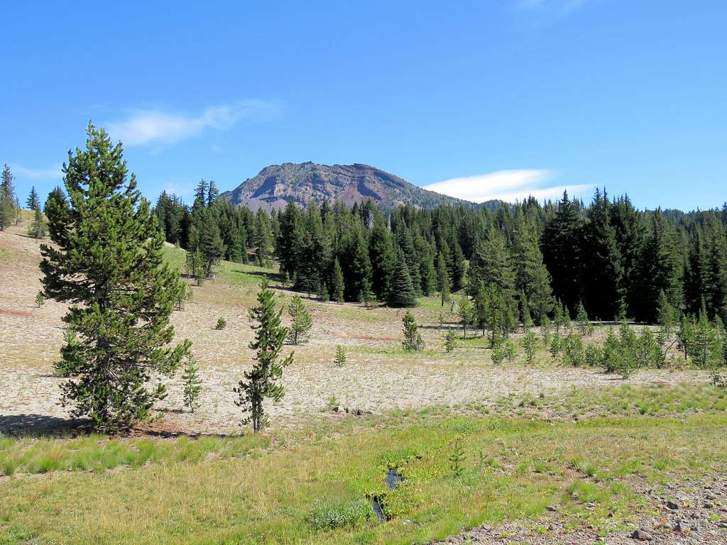
Ball Butte and a spring.
On the trail.
Mt. Bachelor.
I could then see the spot I had been on top of Ball Butte: the first spot on the right on top of a small wall.
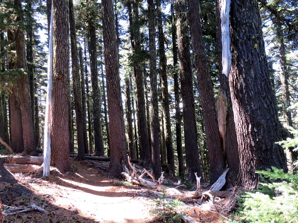
Forest of big pine trees.
Where we had seen South Sister in the morning.
Reached the trailhead at 12:47 p.m. A lot of people were there some in swimsuit going to Todd Lake. Mt. Bachelor from trailhead.