
Comments
No comments posted yet.
|
|
Trip Report |
|---|---|
|
|
44.28500°N / 121.8423°W |
|
|
Sep 6, 2019 |
|
|
Hiking |
Between 3000 to 1500 years ago, volcanic activity created large lava fields to the west of what is now the town of Sisters, Oregon. A 2.5 mile section of Pacific Crest Trail travels north of Route 242 through the desolate black rock lava fields giving access to a 6305 ft black rock high point known as Little Belknap Crater and a 6872 ft high sandy cone known as Belknap Crater.
Trailhead Elevation: 5220 ft
Little Belknap Crater Elevation: 6305 ft
Belknap Crater Elevation: 6872 ft
Roundtrip Hiking Distance: 7.3 miles
Total Elevation Gain: 1900 ft
Kris and I left the vacation rental home in Sunriver, Oregon at 5:40 a.m. when it was still dark. It had rained heavily the previous evening so everything was still wet. Driving between the towns of Bend and Sisters on the plains that were covered with yellow grass and pine forests, I could see a line of conical volcanic peaks in the horizon appearing as triangular shadows before sunrise. The beautiful scenes along with the pleasant smell of wet pine was filling me with joy.
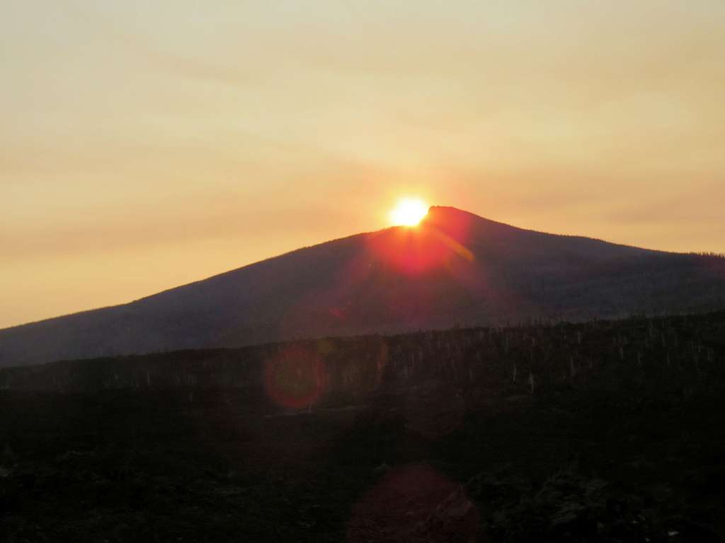
We saw a couple of tents at the trailhead, probably belonging to people hiking the Pacific Crest Trail. Otherwise, did not see any other hikers on our way to the craters. Started the hike at 7:00 a.m. There were no clouds but the moisture in the air made it hazy. Sunrise from behind Black Crater.
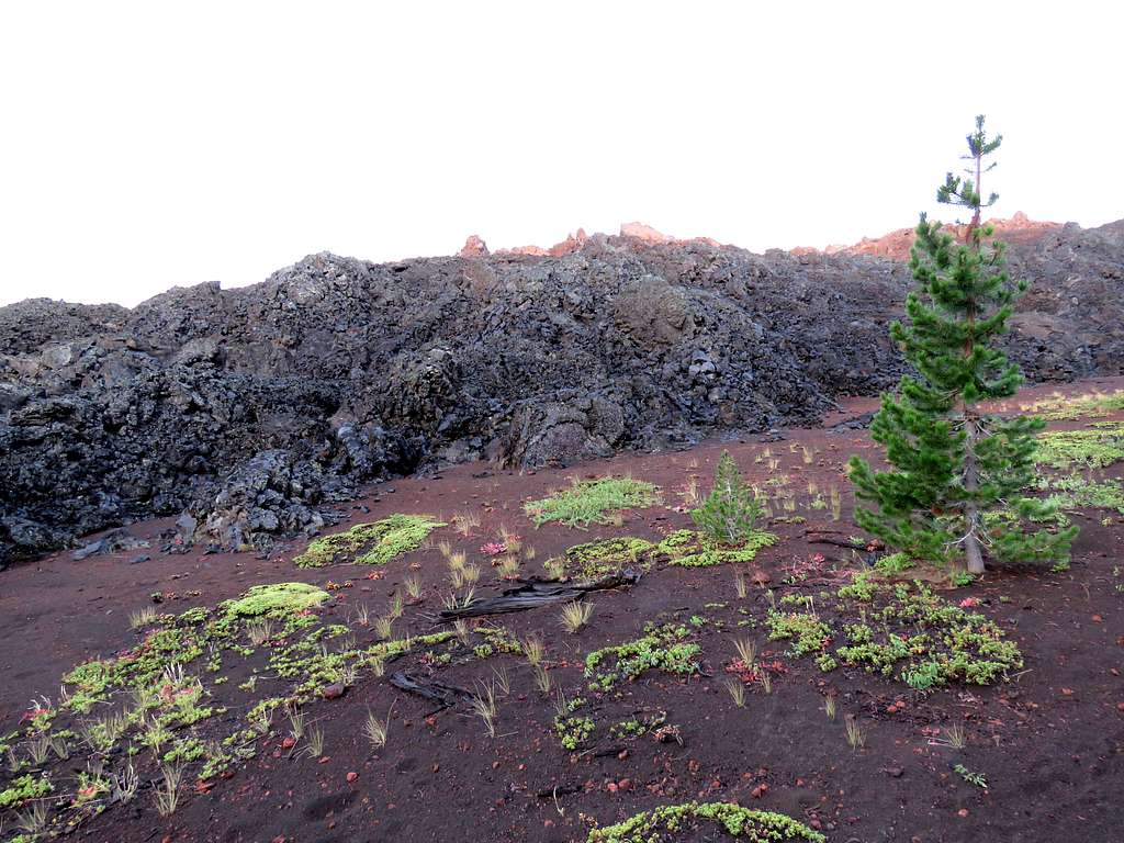
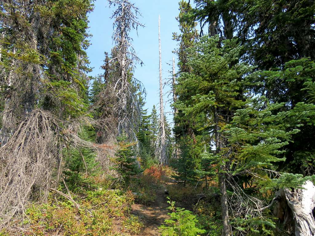
On satellite photos, I had seen a couple of islands of forest in the black lava field. The trailhead was in one of the islands. After walking in the forest for a third of a mile, the trail suddenly reached a big pile of black rock, crossed over the rocks and reached the next forest island.
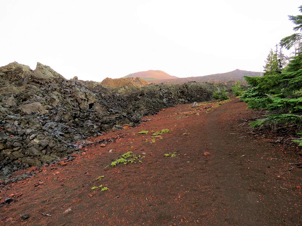
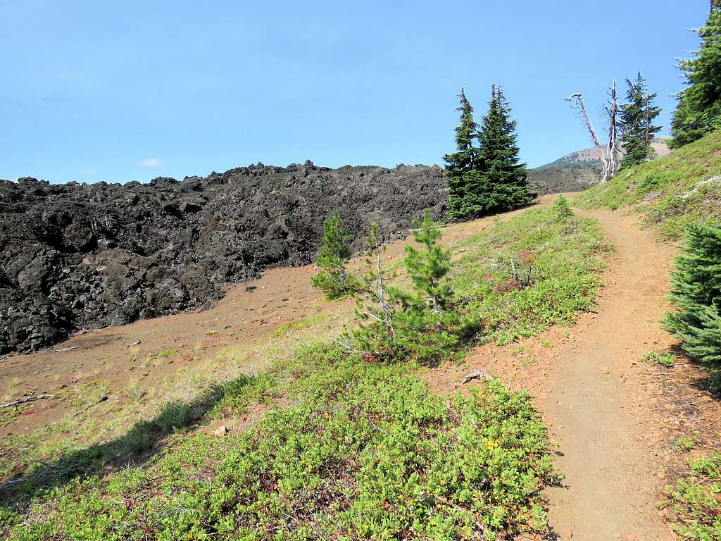
We then followed the trail on the edge of the forest. The border between forest and lava was very sharp giving us the false impression that the lava had solidified not too long ago.
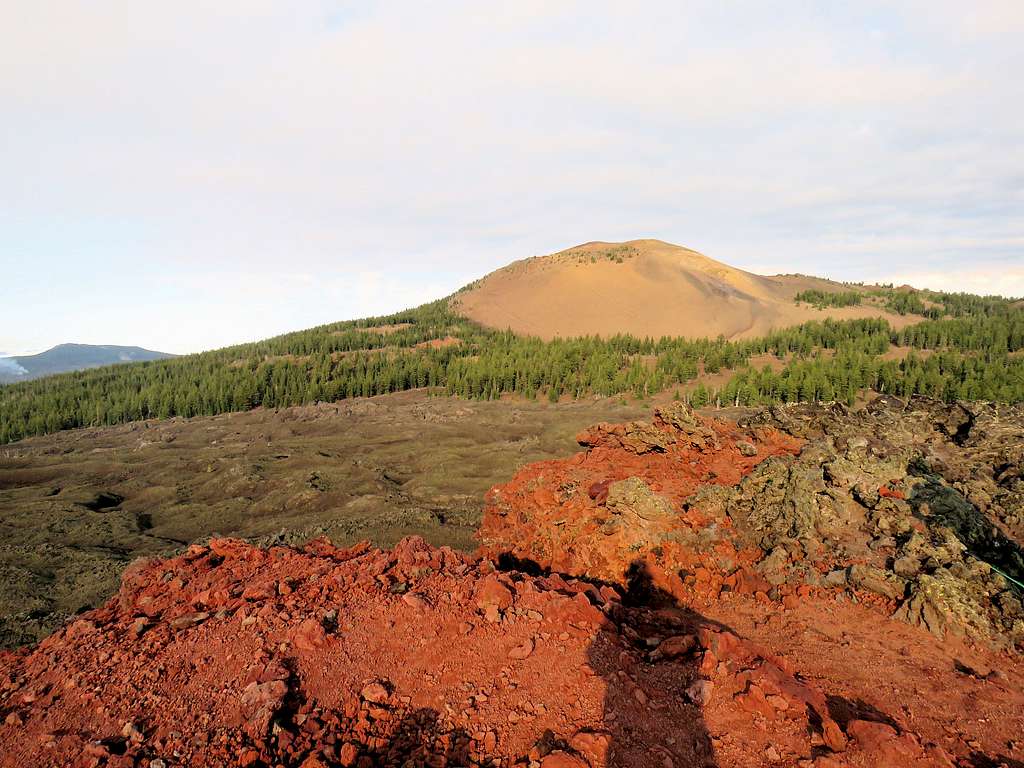
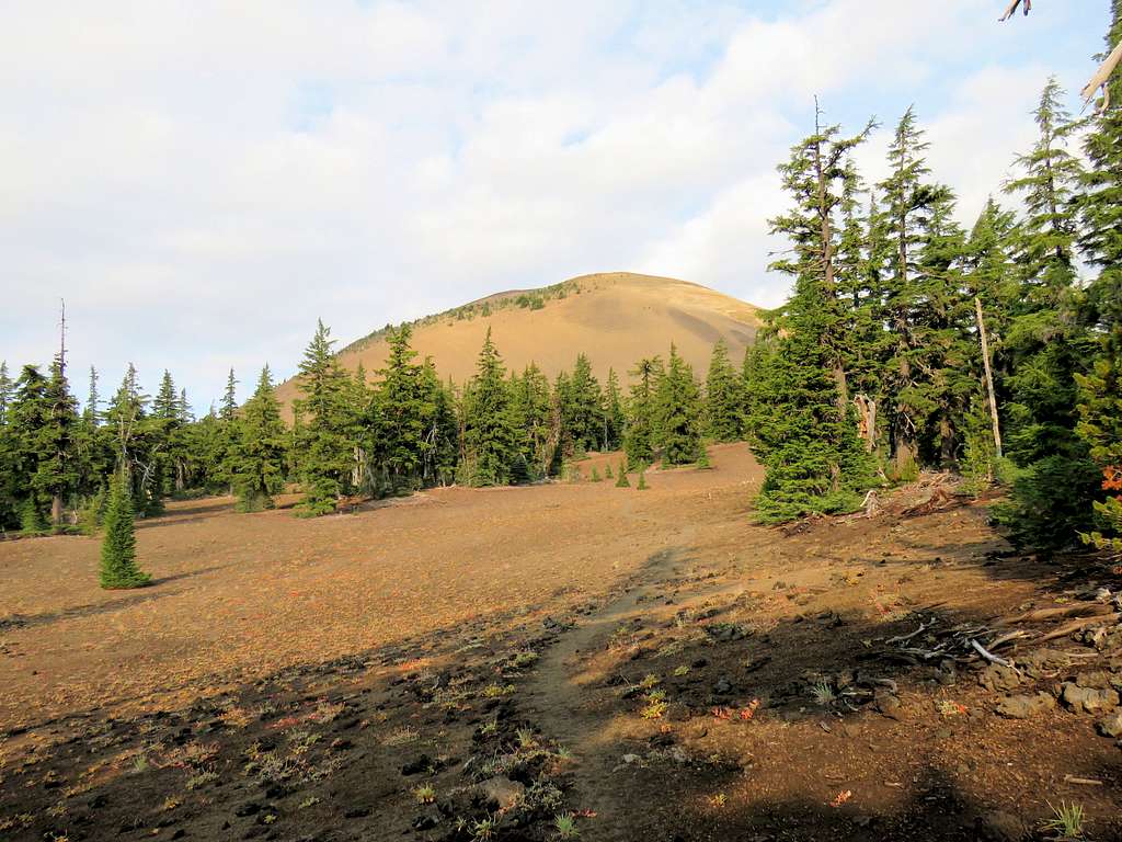
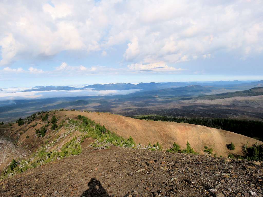
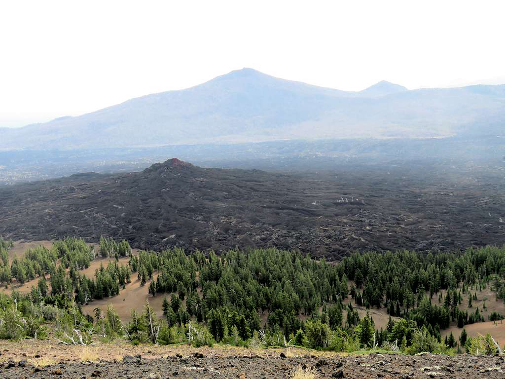
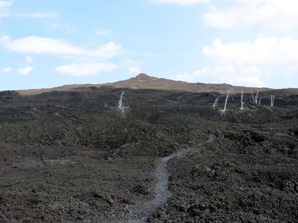
The large and small Belknap Craters finally came to view.
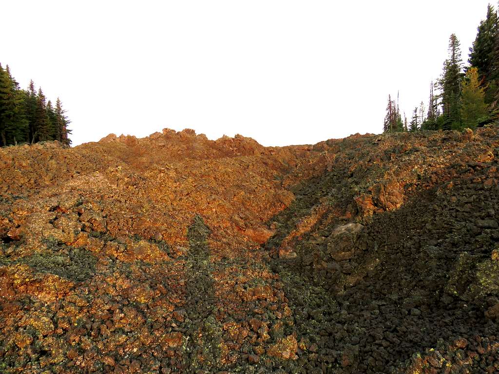
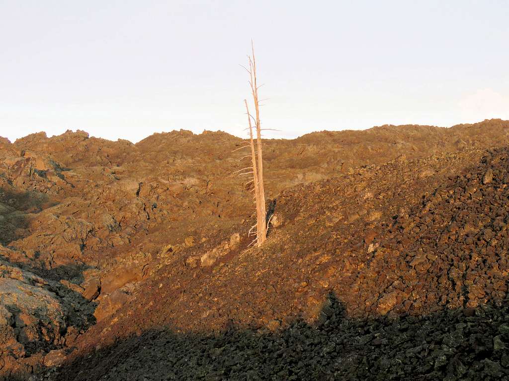
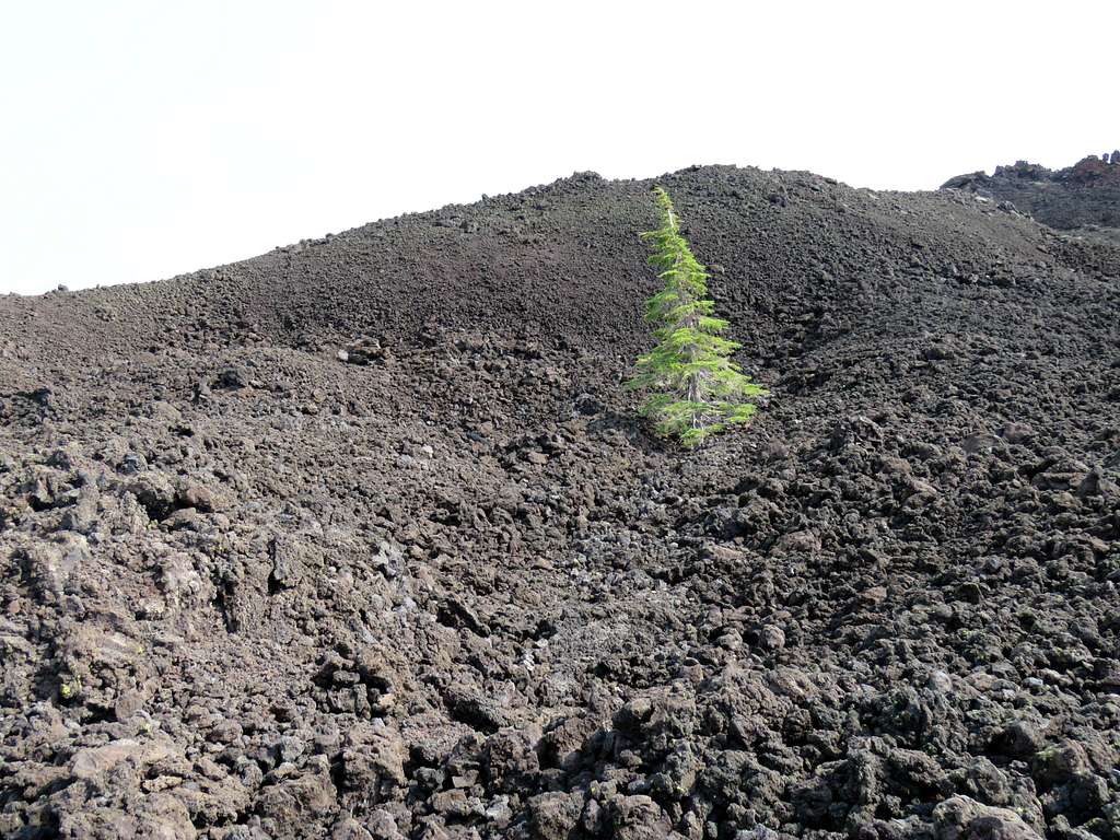
The forest soon ended and we entered a sea of black barren rock. I could appreciate the amount of work that had gone into creating the trail in that rugged environment. The black rock pieces had very sharp edges although the ones on the trail had been pummeled making them less abrasive. Nevertheless, hiking over the hard surface was taxing on the feet (even in good hiking boots). It was strange to see very occasional dead or living trees rising above the black rock where nothing else grew.
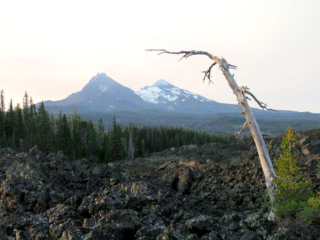
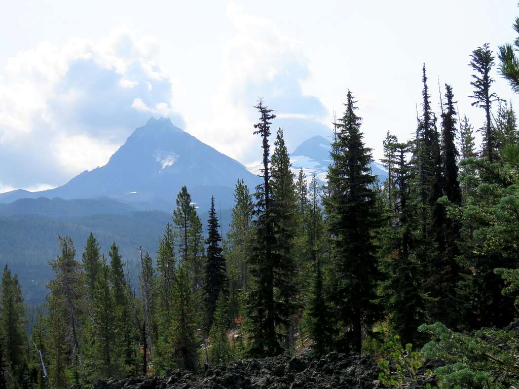
North and Middle Sister rose behind us to the south giving us good views of Collier Glacier.
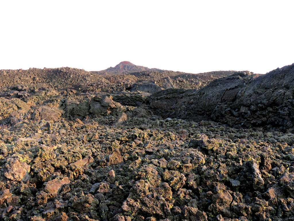
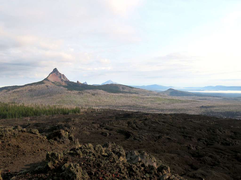
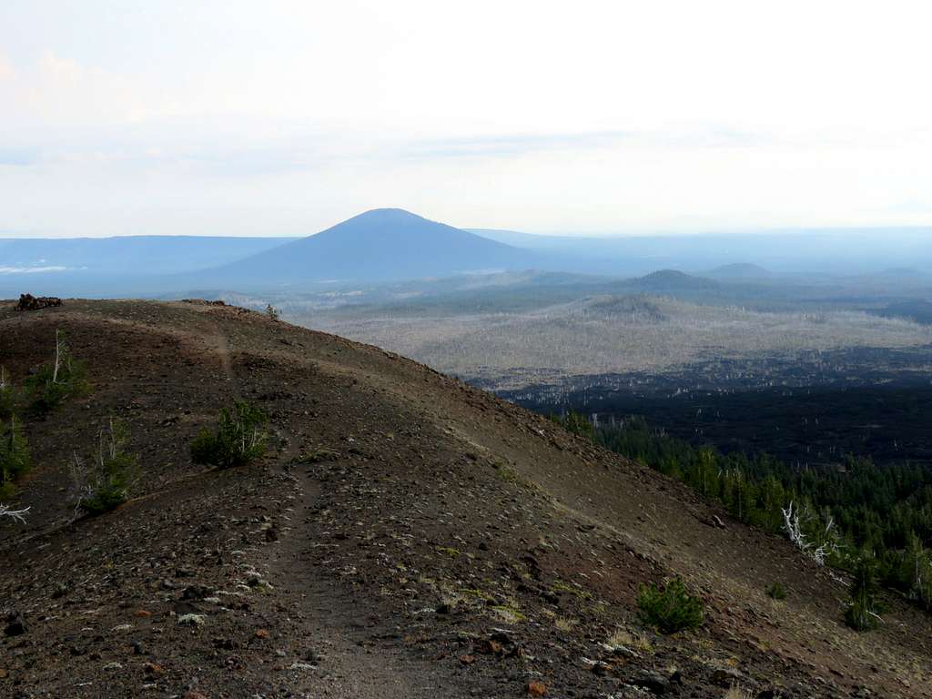
A view of Little Belknap Crater.
After 2.35 miles, we reached a spur trail that went 0.15 miles east to reach the summit of Little Belknap Crater. Views from the summit of Little Belknap Crater.
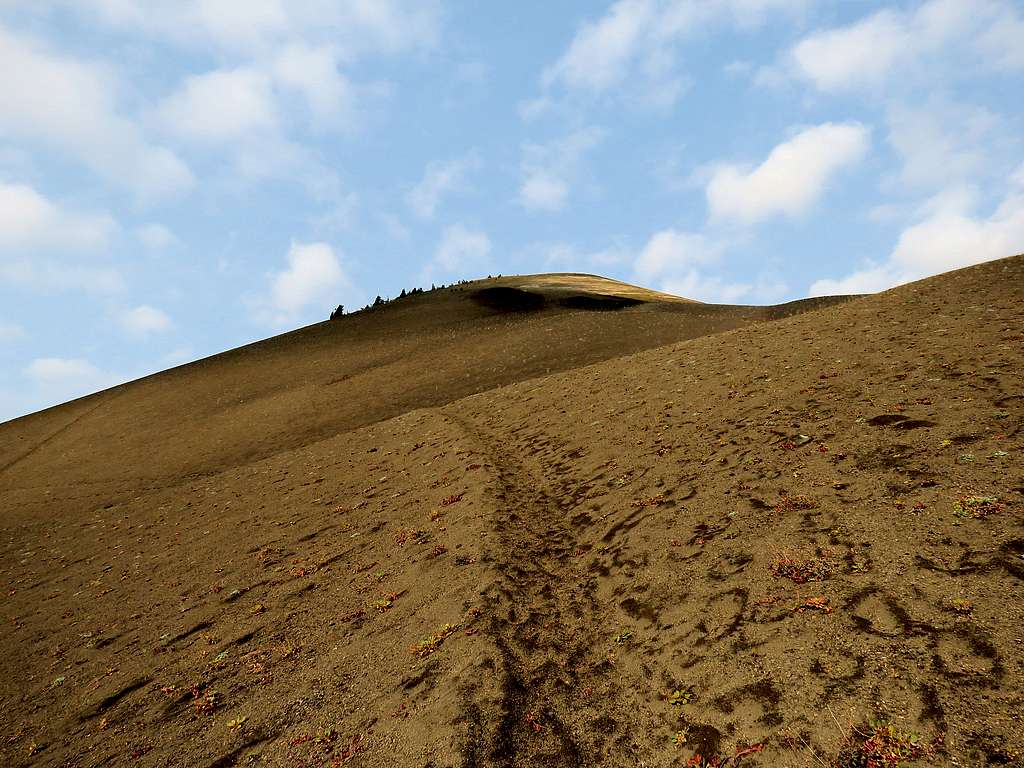
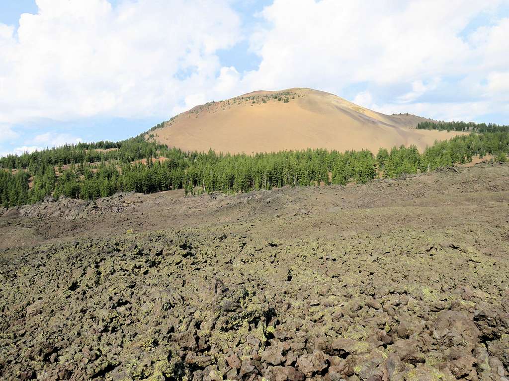
We then returned to the main trail and continued north until the lava suddenly ended. Left the Pacific Crest Trail and turned onto an unmarked trail that went west toward Belknap Crater over sandy terrain. It felt good to hike over the soft sand.
I could see a beaten path over the steep sandy slope going to the top. Kris decided to stay there.
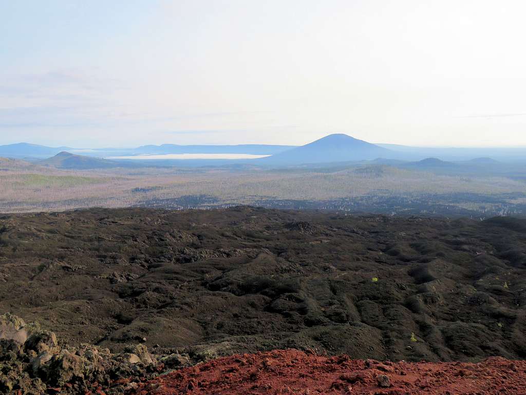
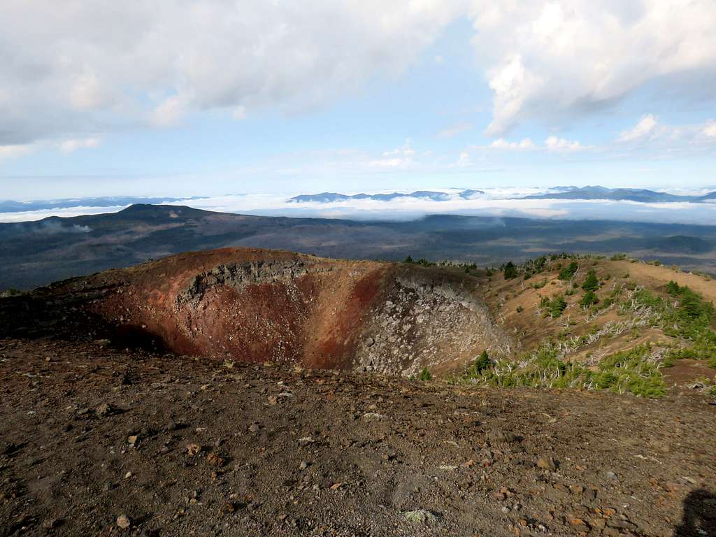
I continued up until I reached the top of Belknap Crater at 9:35 a.m. 3.95 miles. The views were spectacular.
The crater and view southwest.
Looking west.
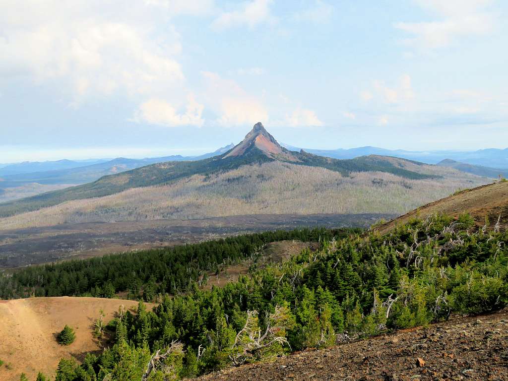
Mount Washington.
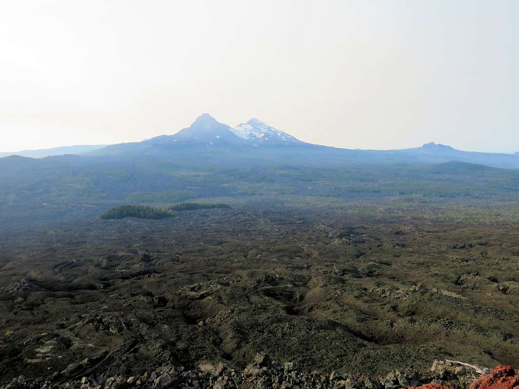
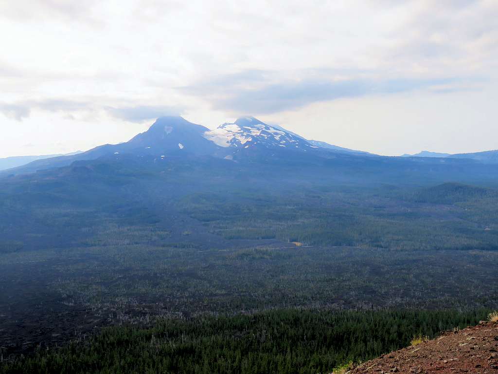
Three Sisters and Collier Glacier (Only the slopes of South Sister are seen behind the Middle Sister).
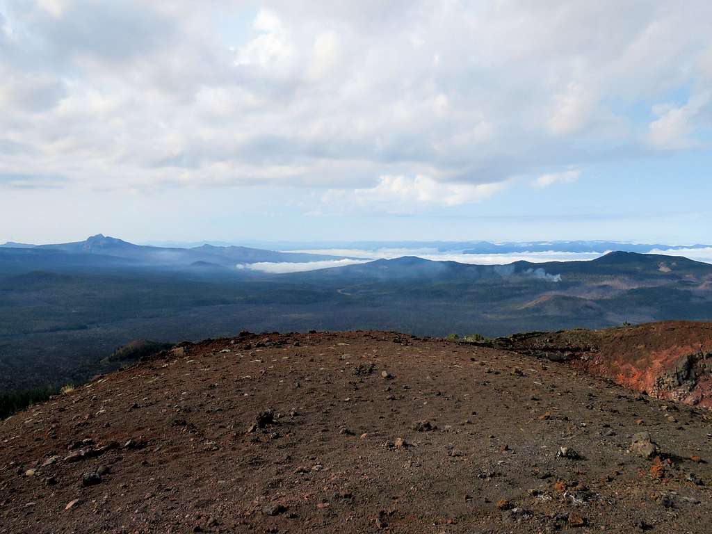
Looking south.
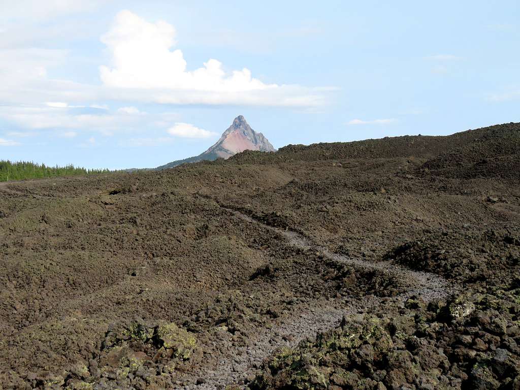
Little Belknap Crater and Black Crater appearing as a big peak behind Little Belknap.
Black Butte.
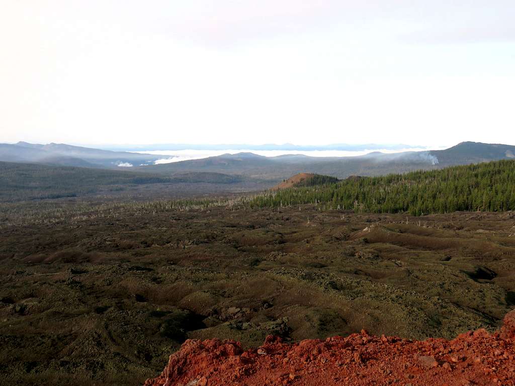
Had my lunch and enjoyed the views, then left at 10:00 a.m. Reached Kris and got back On Pacific Crest Trail over the hard lava again going back toward the trailhead. Another view of Mt. Washington.
Belknap Crater.
As we walked back, ran into a few hikers. One was an older gentleman who said was doing the Pacific Crest Trail in pieces and had started at Tehachapi Pass in California.
A lone tree.
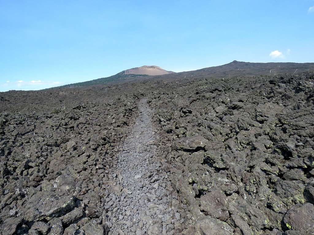
A look back at Little Belknap Crater.
Belknap and Little Belknap Craters.
We then reached the forest islands. The sharp border between lava and forest.
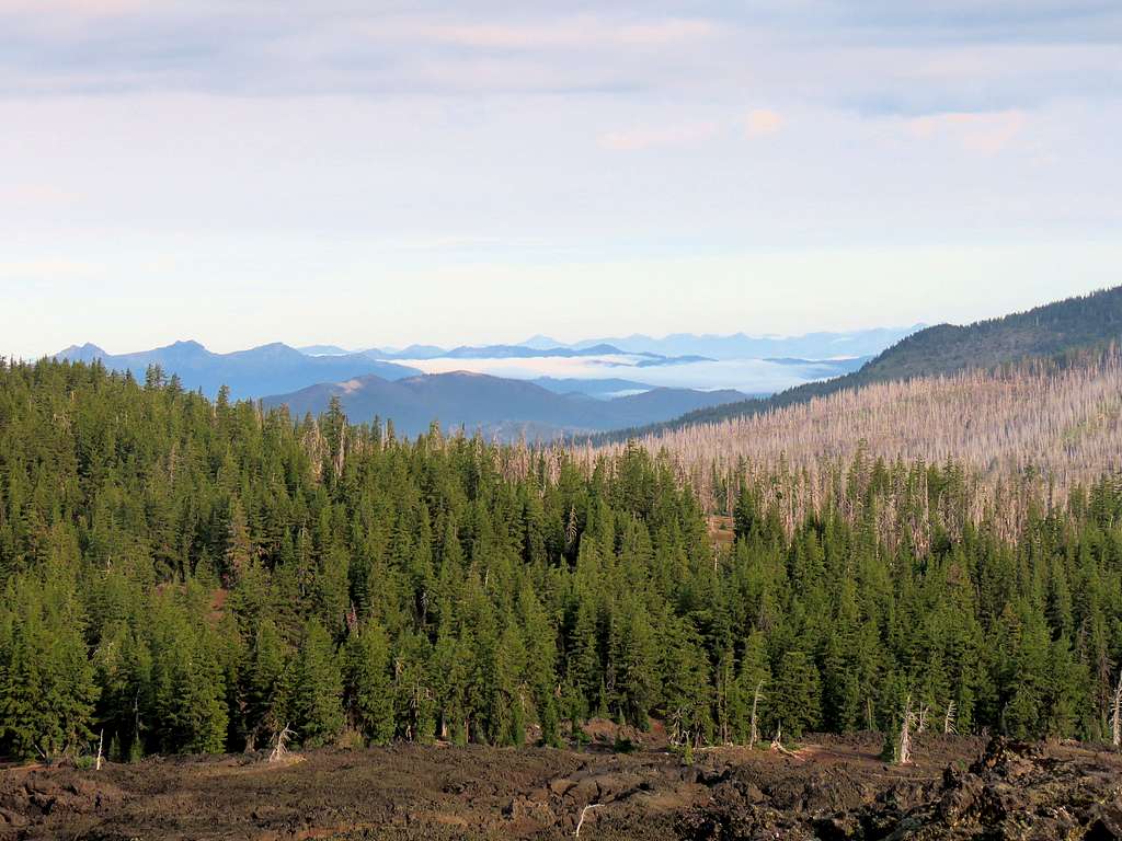
North and Middle Sisters.
Hiked the forest and reached the trailhead at 11:45 a.m.