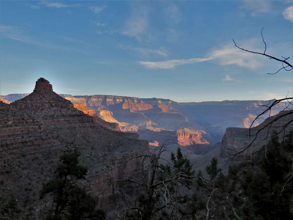
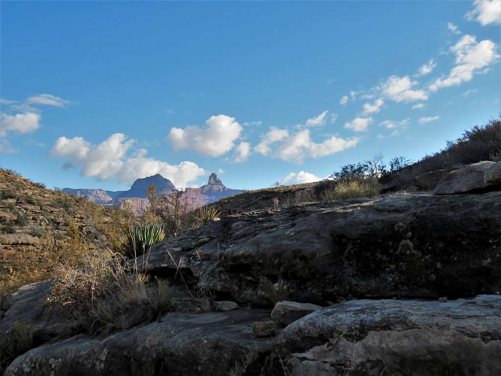
More than twenty years had passed since my last visit to Grand Canyon National Park. Back then, there was no Google Earth or online topographic maps making it not so easy to find detailed information about the hike to the bottom of Grand Canyon. I had read that Bright Angel Trail was 9.5 miles long creating a roundtrip of 19 miles with presumably a mile (5300 ft) of vertical. That sounded like too much for a day hike so the idea of hiking to the bottom of Grand Canyon remained on the back burner for decades.
As I passed my mid-fifties, I began to worry that I might soon become too frail to do the hike. Could remember a Summitpost trip report titled "Mountaineer-really? The Matterhorn-of course?". I asked myself “Hiker-really? Grand Canyon?” the answer continued to remain no. I had to get that off my list before it was too late. A look at online topo maps revealed that the hike to Colorado River via Bright Angel Trail was only 8 miles long with 4460 of vertical (9.5 miles was to Phantom Ranch). That little bit of change from 19 to 16 miles roundtrip made all the mental difference. I had done plenty of comparable hikes.
Planned a 5 day stay at Kachina Lodge on the south rim of Grand Canyon during the last week of November 2021. Wanted to reach the bottom of the canyon and go back one day via South Kaibab Trail and another day via Bright Angel Trail. First tried South Kaibab Trail. There were signs everywhere saying: Do not attempt to go to the river and back in one day, people have to be rescued all the time etc. Having to first go down and then come back up bothered me so I freaked out 2/3rd of the way down the South Kaibab Trail and turned back at “The tipoff Point”. Had no problems going back up so felt confident to do Bright Angel Trail 3 days later.
Trip Report
Roundtrip Distance: 16.6 miles (Kachina Lodge to Colorado River and back)
Elevation at Highest Point: 6890 ft (Kachina Lodge)
Elevation at Lowest Point: 2410 ft (Colorado River)
Hike Time: 6:35 AM to 4:00 PM (Kachina Lodge door to door)
Sunrise: 7:15 AM
Sunset: 5:15 PM
Temperatures: 34-45 degrees F (Grand Canyon South Rim)
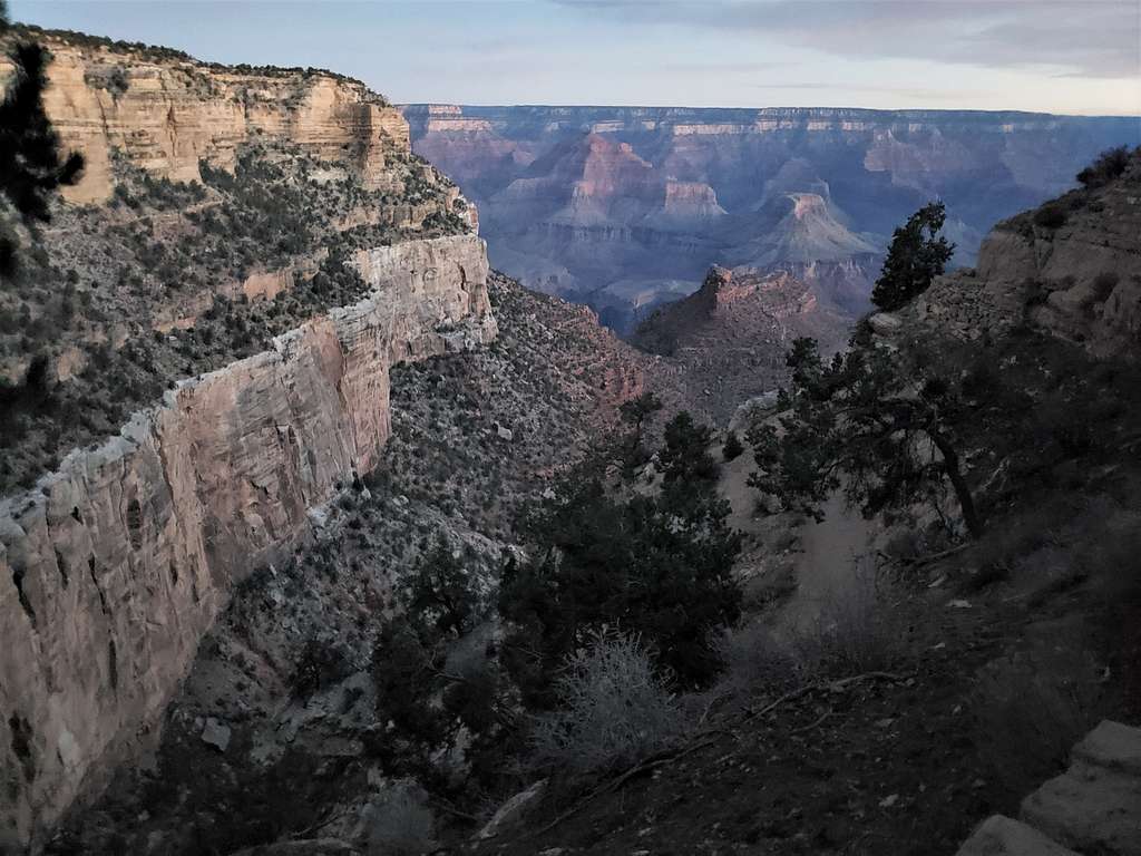
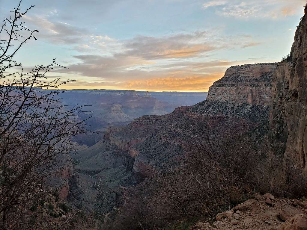
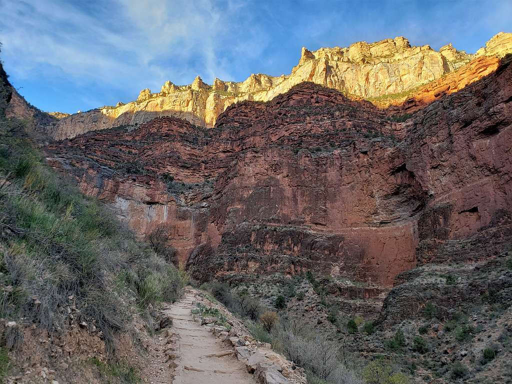
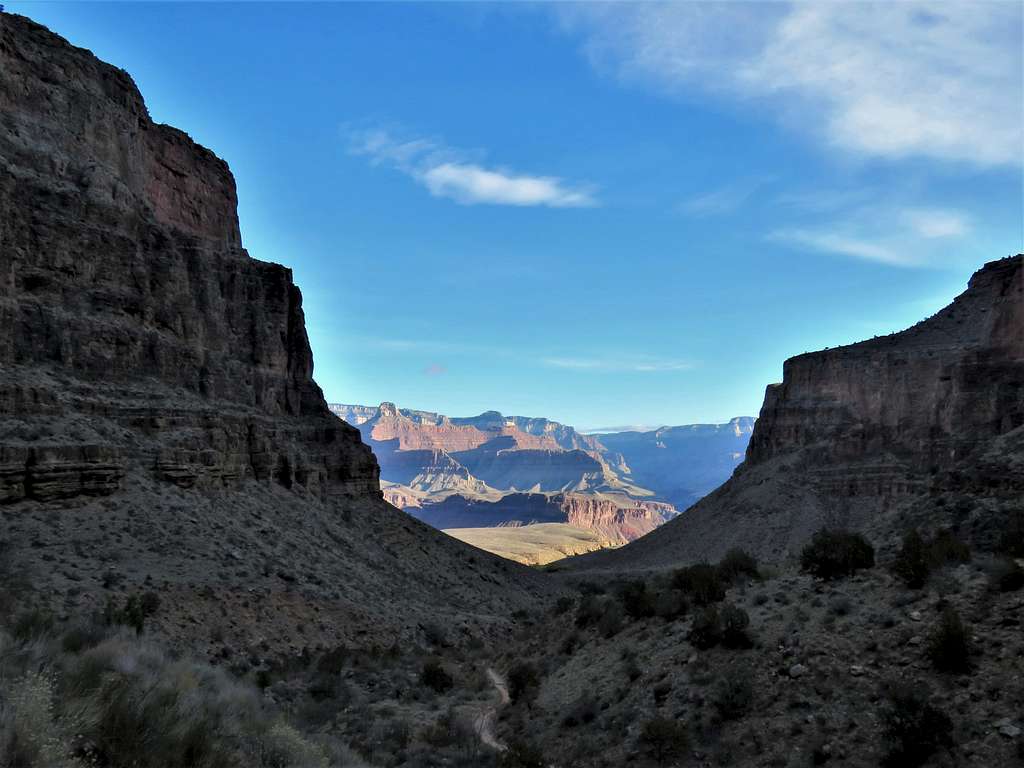
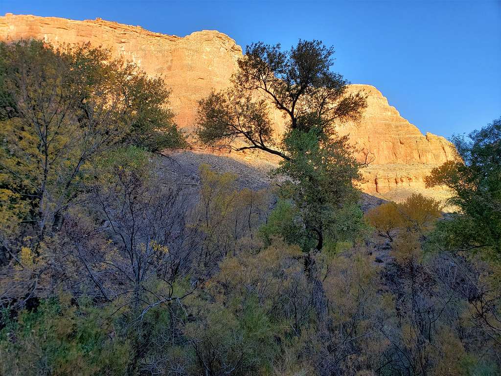
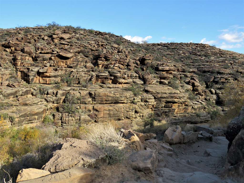
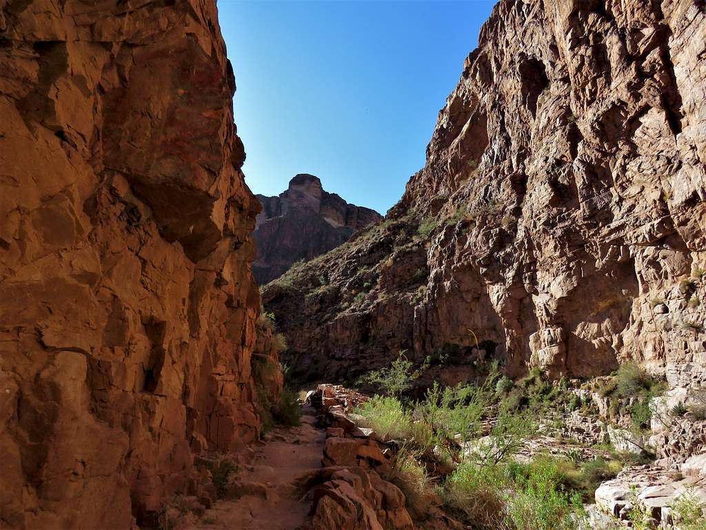
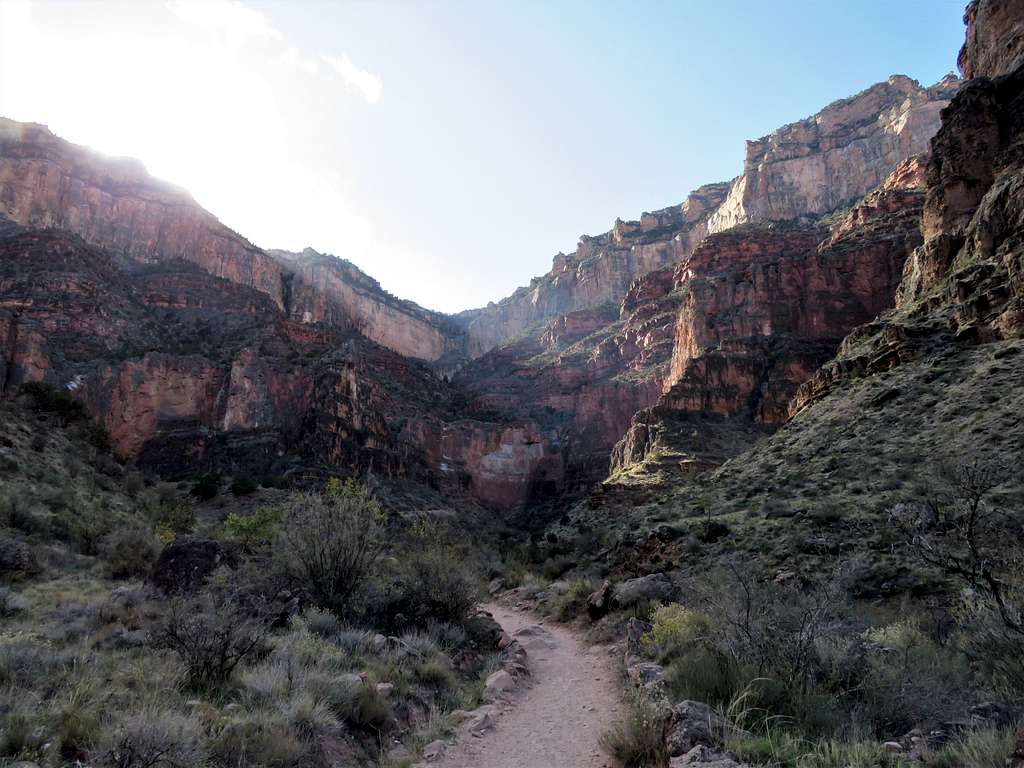
Left Kachina Lodge at 6:35 AM. There was enough daylight, so I did not need to use my headlamp. Walked the Rim Trail 0.3 miles to Bright Angel Trailhead (elevation 6860 ft) and got on the trail. Besides two sightseers, I did not see anyone else on the trail. I wanted to believe that I was the first person on the trail which began to make switchbacks going down what seemed to be cliffs all over the place.
Near the start of Bright Angel Trail, before sunrise
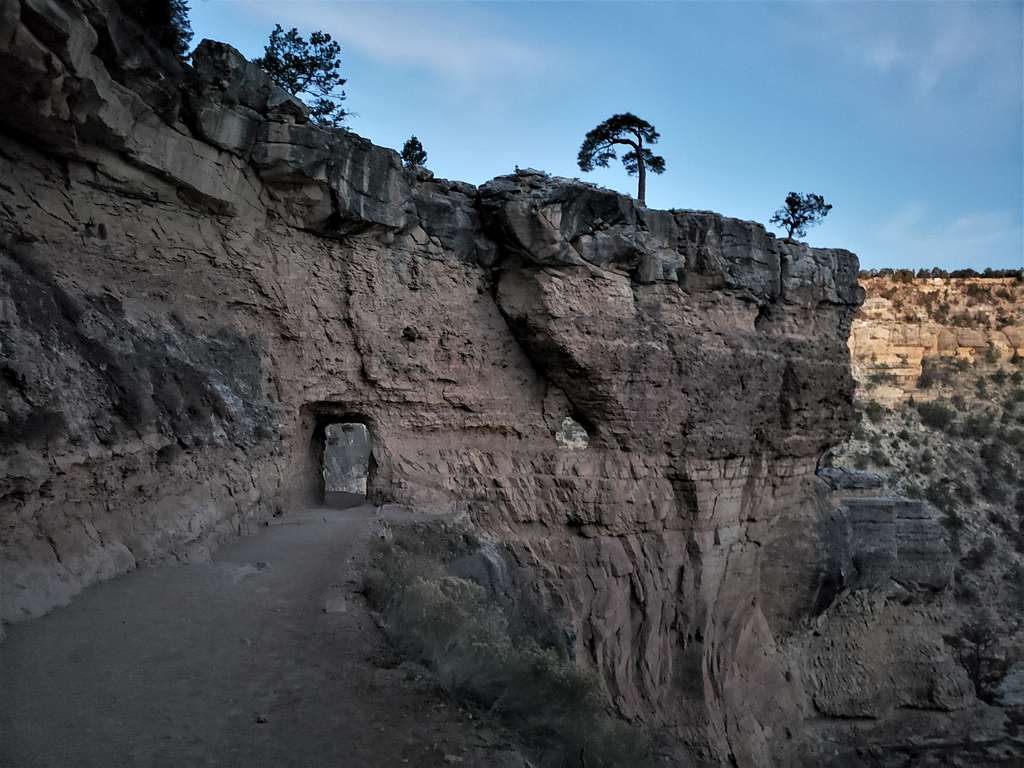
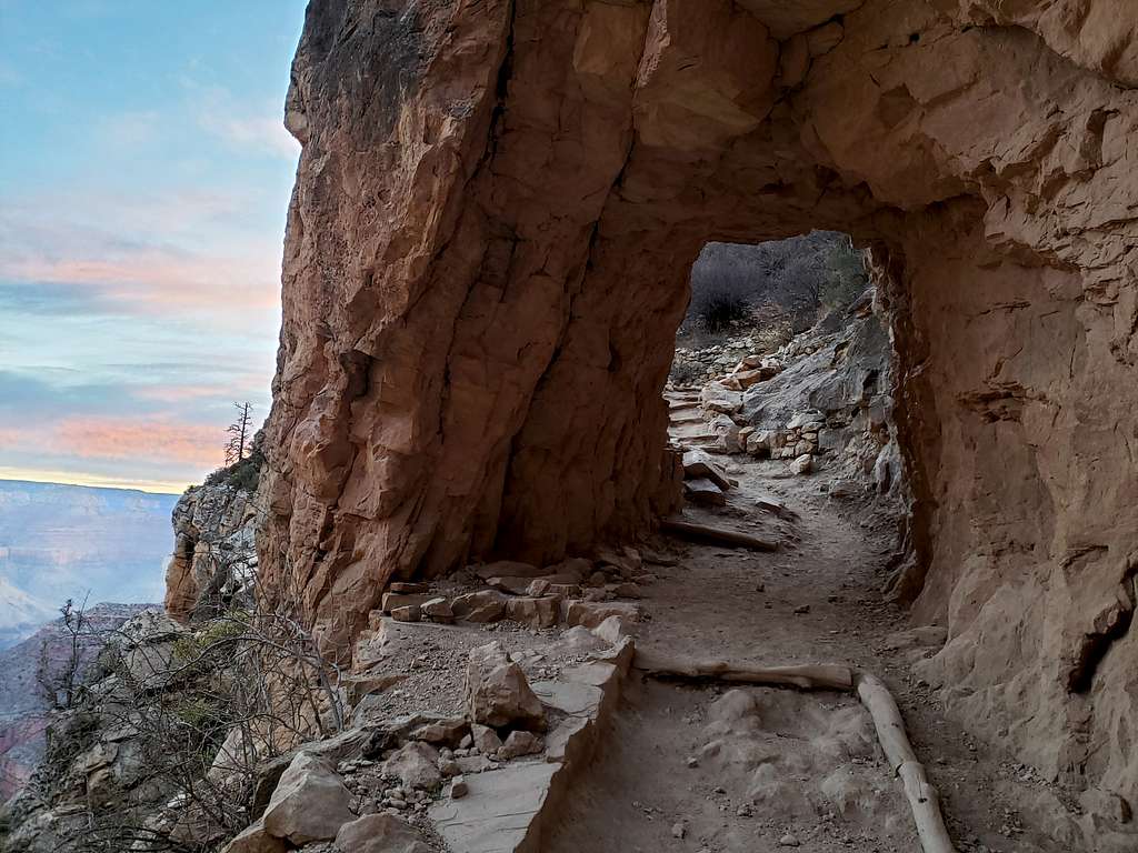
Went through two small tunnels on the trail.
Tunnel on trailTunnel on Trail
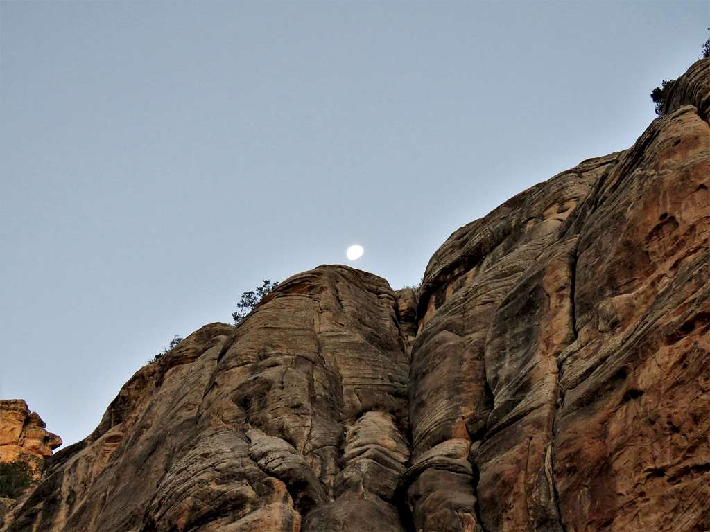
The moon.
Moon above cliffs
Quickly warmed up enough to put away the ski gloves and replace the knit cap with the cowboy hat. Could hear people’s voices echoing in the cliffs above me. As I stopped frequently to take pictures, several fast-hiking people passed me making me feel as if I was the slow grandpa of the group.
Just before sunrise.
Just before sunrise
Sunrise.
SunriseSunrise
Sunrise
Around One and a Half Mile House, I took the GPS out of my coat pocket under the backpack’s belt to see obviously erroneous distance measurements. It had had poor connection. That was a bummer.
Bright Angel Trail
Reached Three Mile House 4720 ft elevation at 8:21 AM. Was glad to see all those fast hikers resting there and I never saw them again making me think that was as far as they went. Only an Asian couple went further down (I sometimes got ahead of them and then they ahead of me all the way to the river). Switchbacks below Three Mile House with the Asian Couple on the trail.
Below Three Mile House
Looking back at the cliffs behind me. Hard to believe I somehow walked down those walls.
Below Three Mile HouseBelow Three Mile House
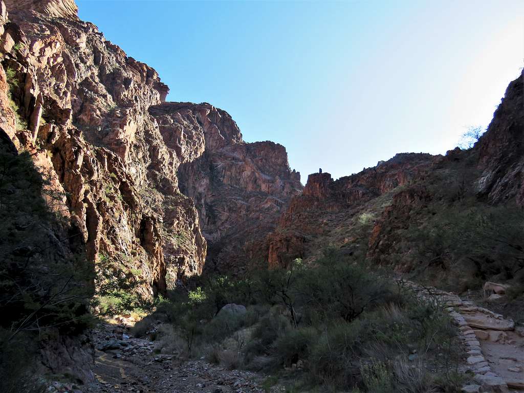
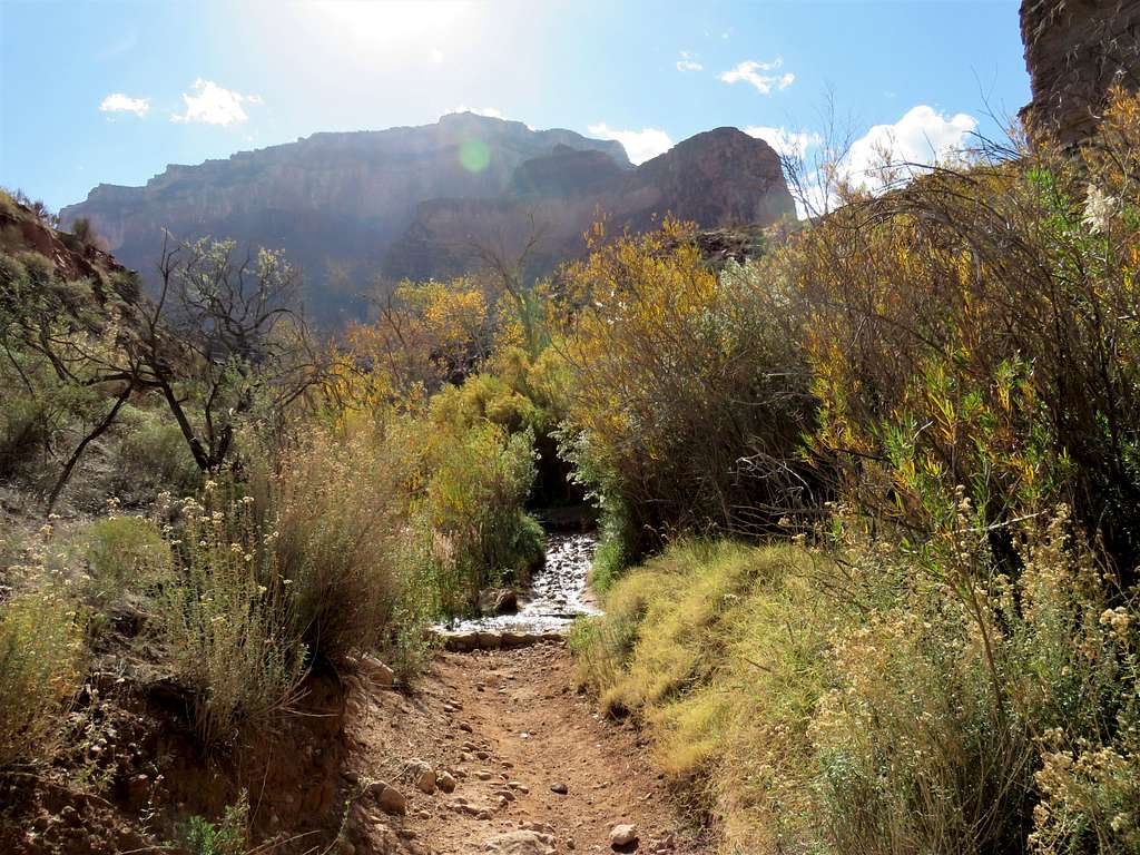
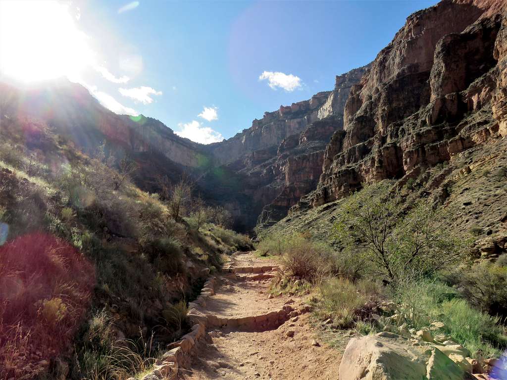
Down the last switchbacks and the trail was then near Garden Creek at the bottom of a valley.
Above Indian GardenAbove Indian Garden
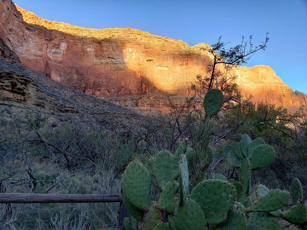
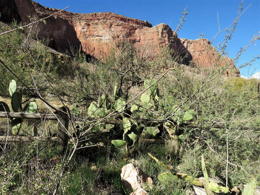
At 9:02 AM and 3890 ft elevation, I reached the start of the area known as Indian Garden. Sat there for 5 minutes to drink water and eat a little. There were shrubs and prickly pear cacti all around me.
Upper parts of Indian GardenUpper parts of Indian Garden
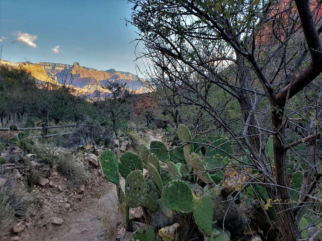
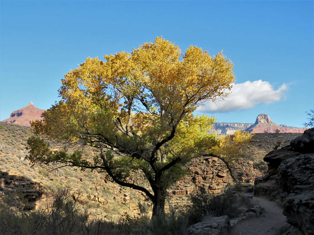
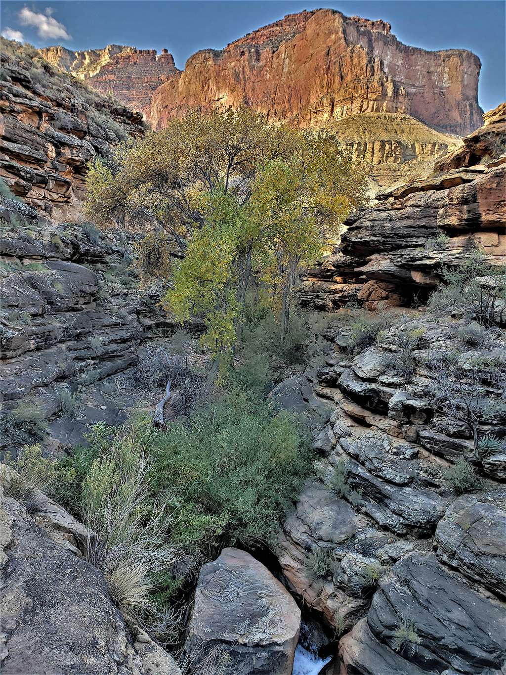
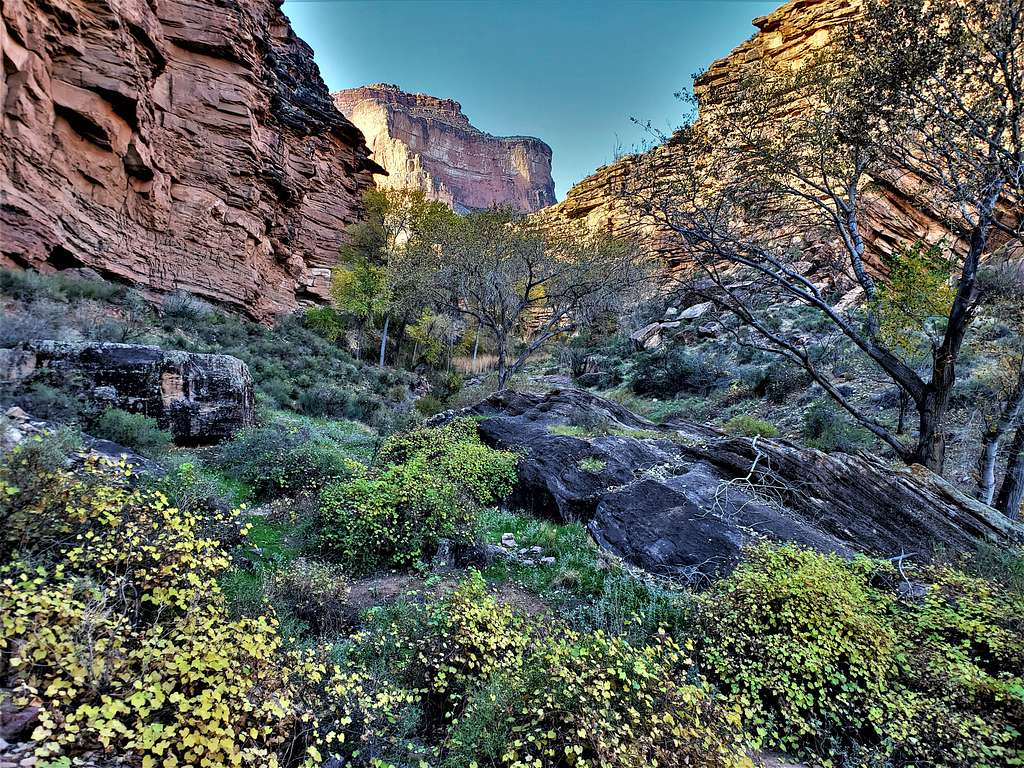
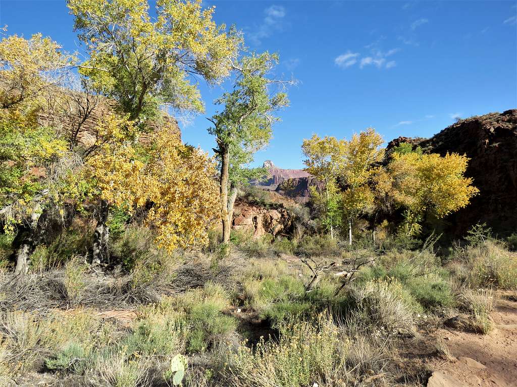
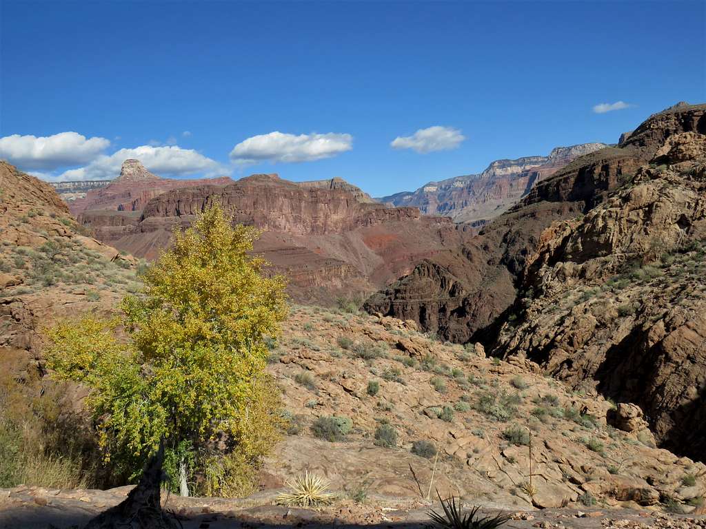
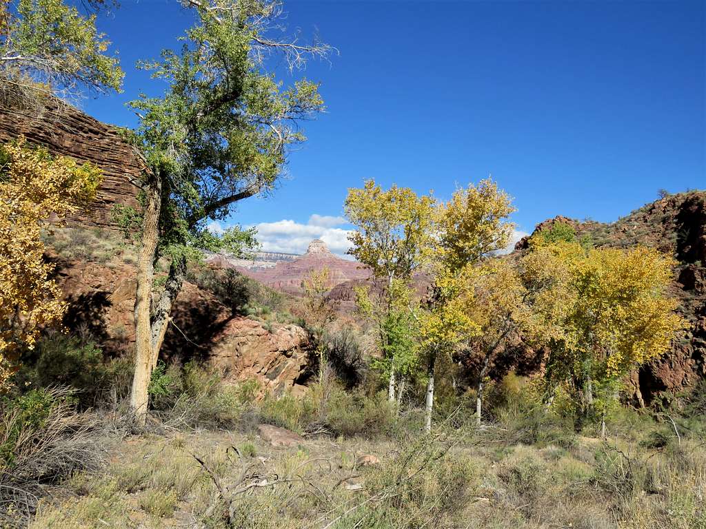
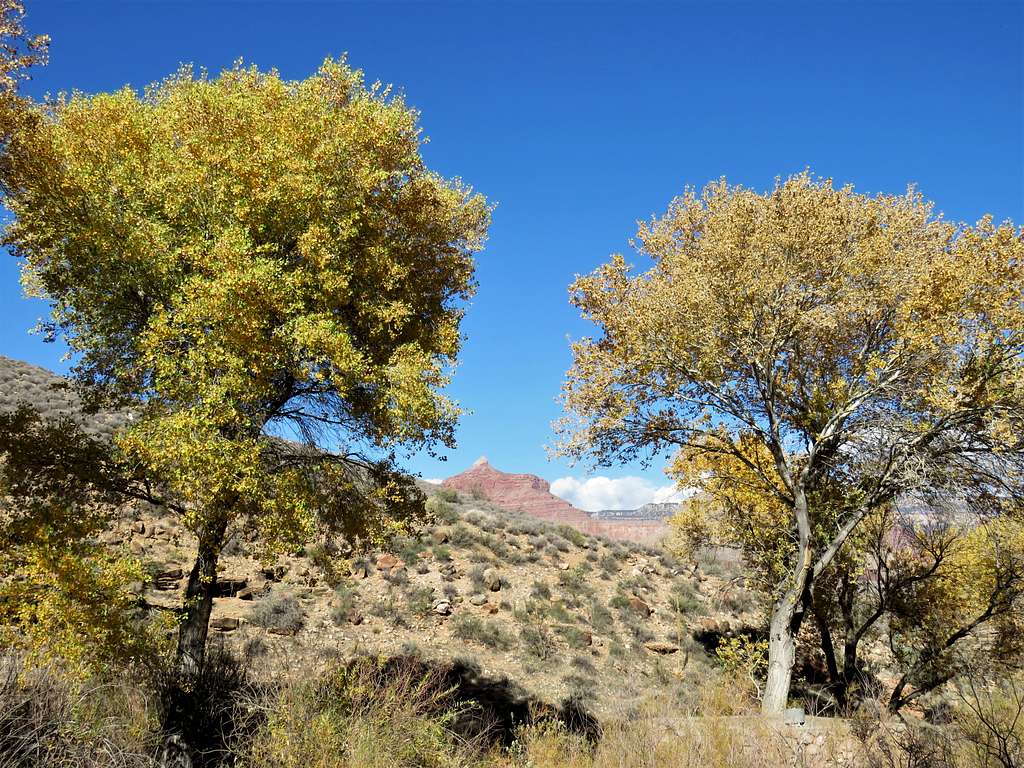
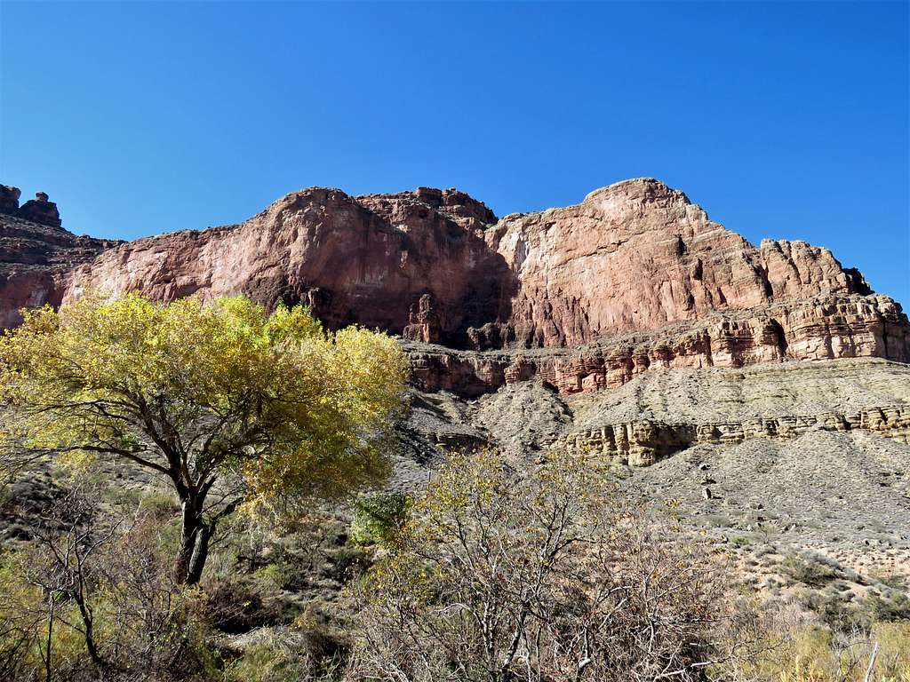
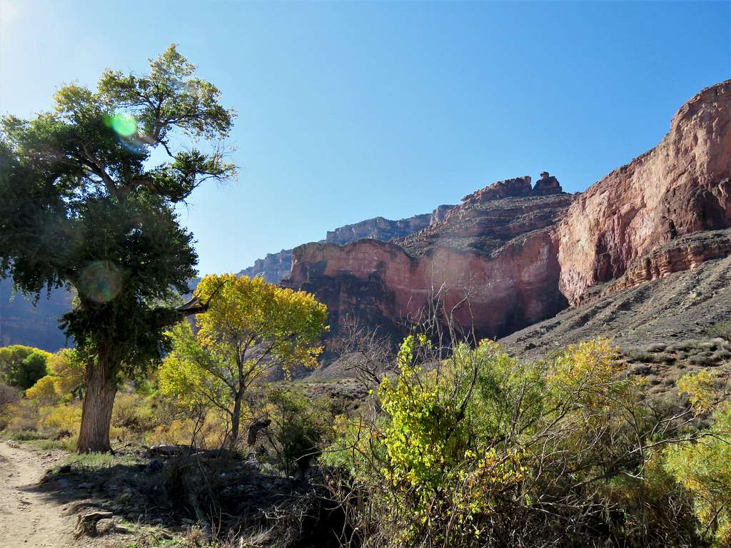
As I went down the trail, beautiful cottonwood trees that had turned autumn gold appeared. Many people had camped at the campsite under the trees.
Indian GardenIndian GardenIndian Garden
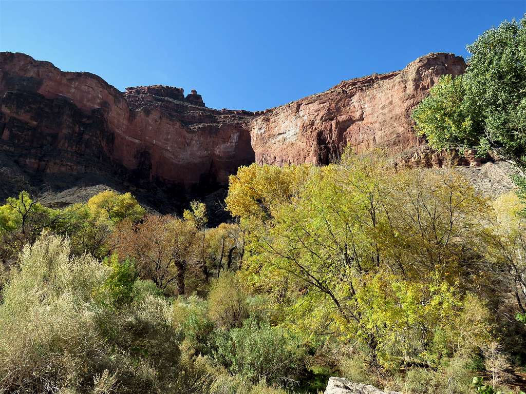
Looking back south at the walls.
Below Indian Garden
Looking north.
Start of Garden Creek Canyon
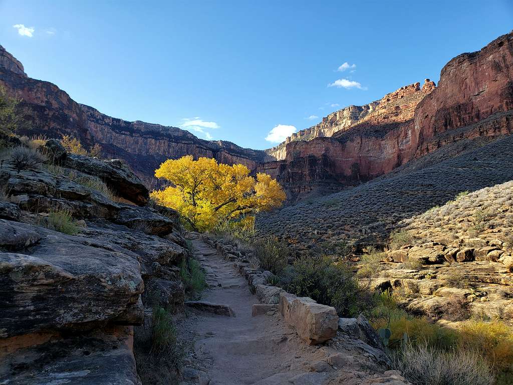
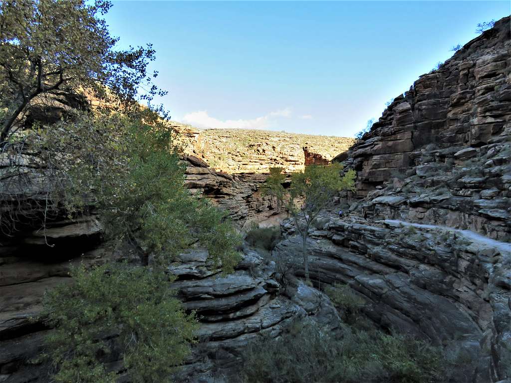
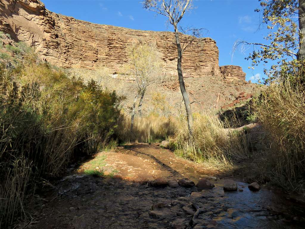
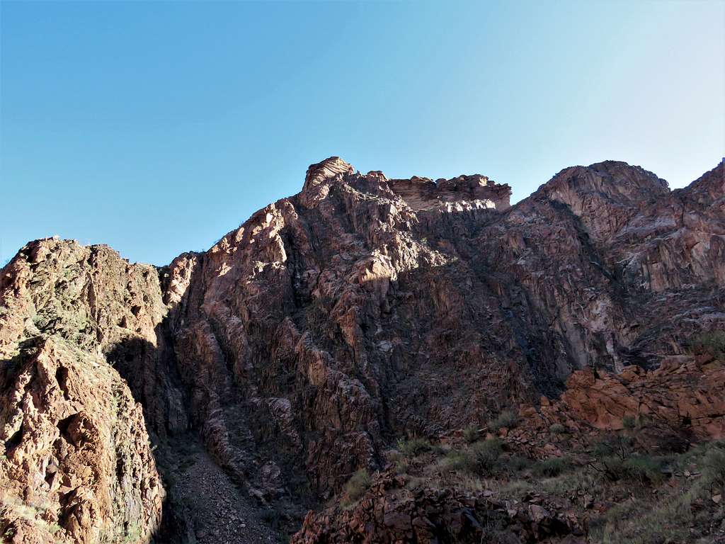
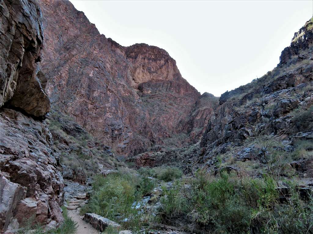
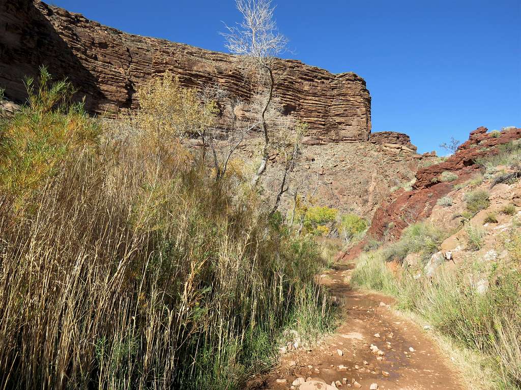
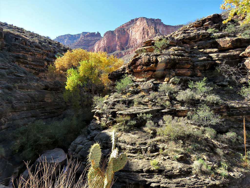
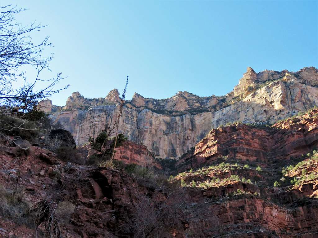
The trail got into a canyon with walls made of layered rock.
Garden Creek CanyonGarden Creek Canyon
Garden Creek was barely visible in the tight groove at the bottom of the canyon and made at least one small waterfall.
Garden Creek CanyonGarden Creek Canyon
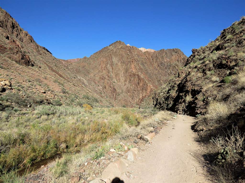
The canyon began to open.
Garden Creek Canyon
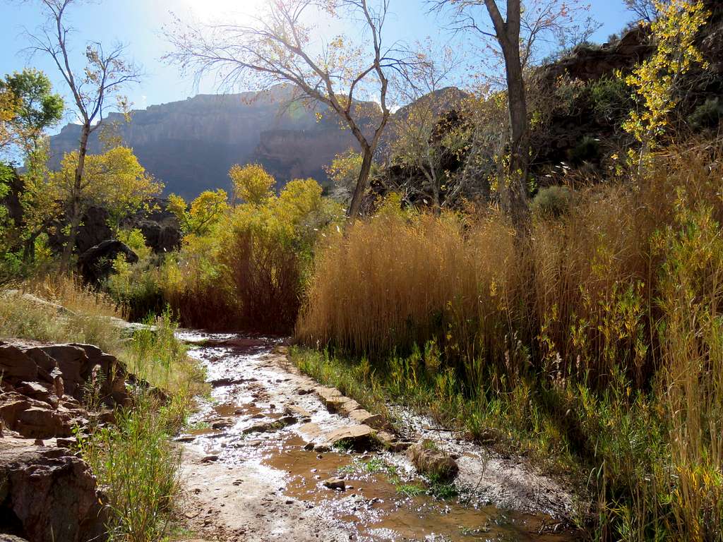
Crossed the creek a couple of times under the trees and among the tall grass.
Garden Creek CanyonGarden Creek Canyon
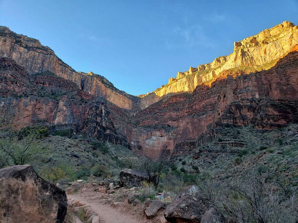
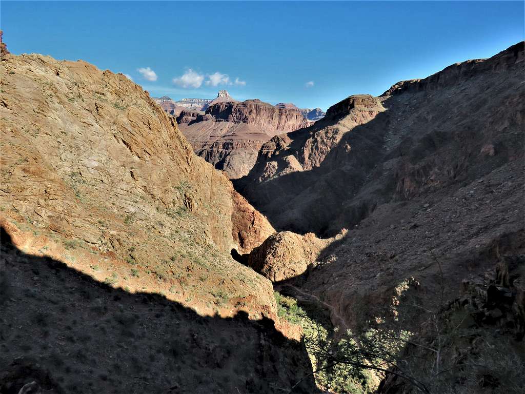
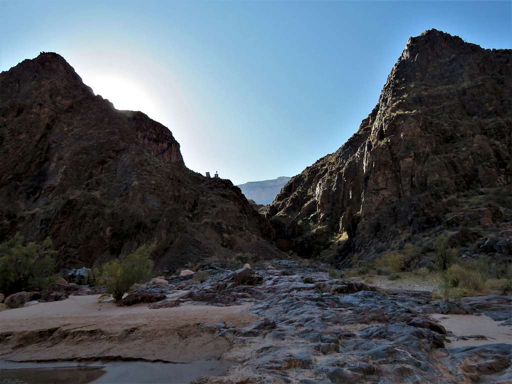
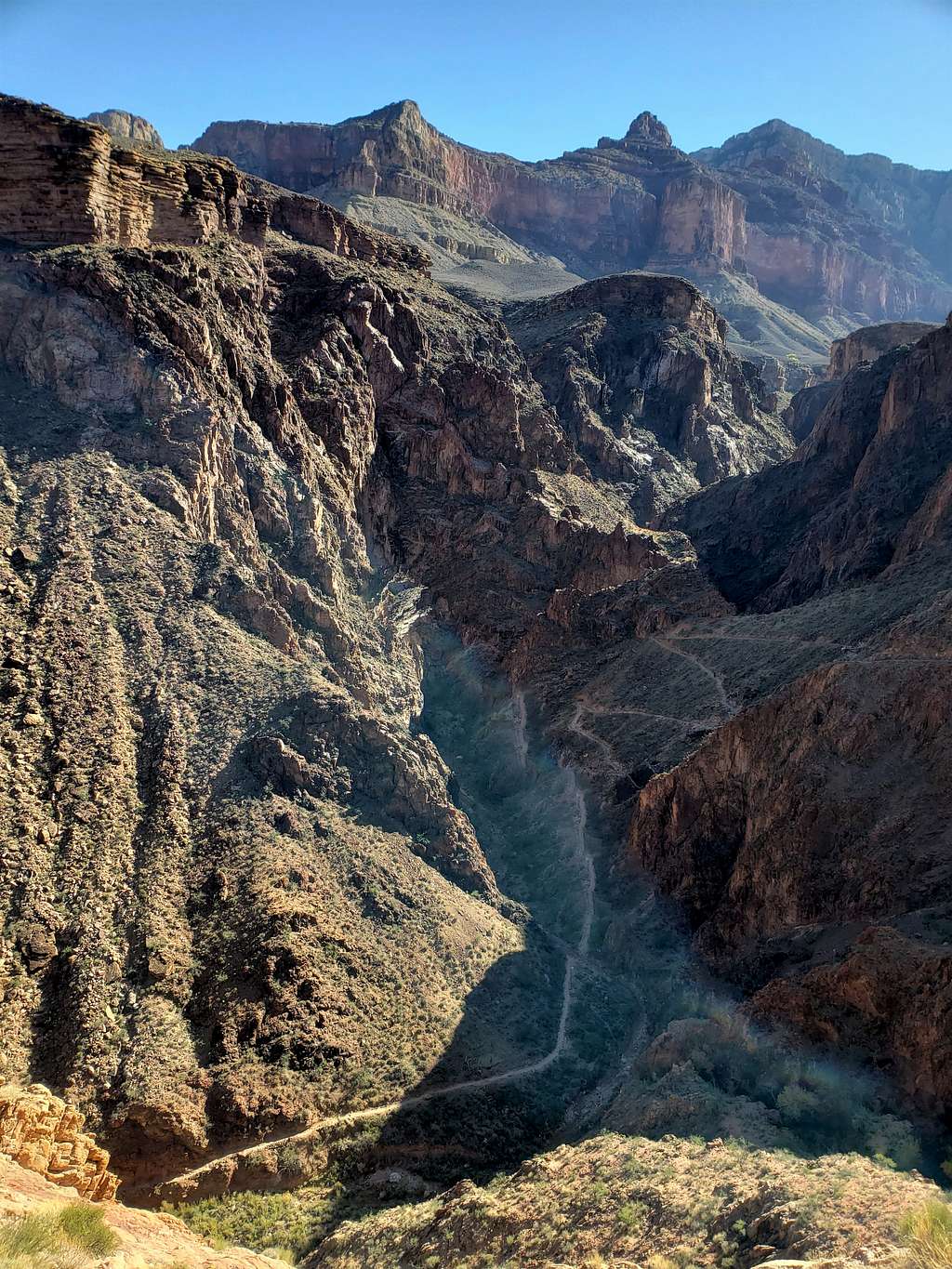
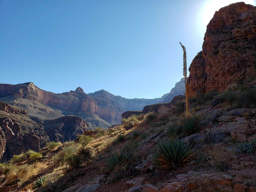
At 3300 ft elevation, the trail suddenly exited the lush Garden Creek Canyon and seemed to make a lot of switchbacks going down into the barren looking Pipe Creek Canyon. I did not know it at the time, but the switchbacks were called Devil’s Corkscrew. That was still a lot of downhill.
Pipe Creek CanyonPipe Creek Canyon
Was finally down to the bottom of Pipe Creek Canyon. I had hoped to reach the river in 4 hours, at 10:30 AM so that I could start my return at 11:00 AM. If it took me 4 hours to go down, it might take 5 or, worst case, 6 hours to go back up. Should still be up there before sunset (I had left trailhead at 6:45 AM).
Pipe Creek Canyon
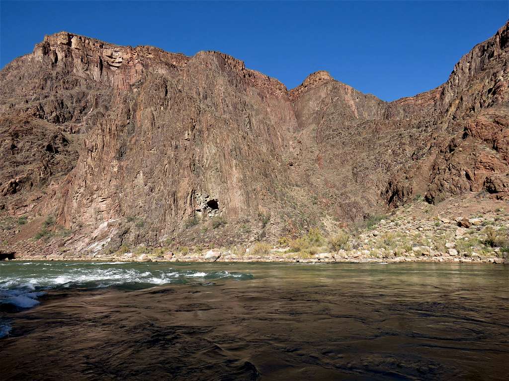
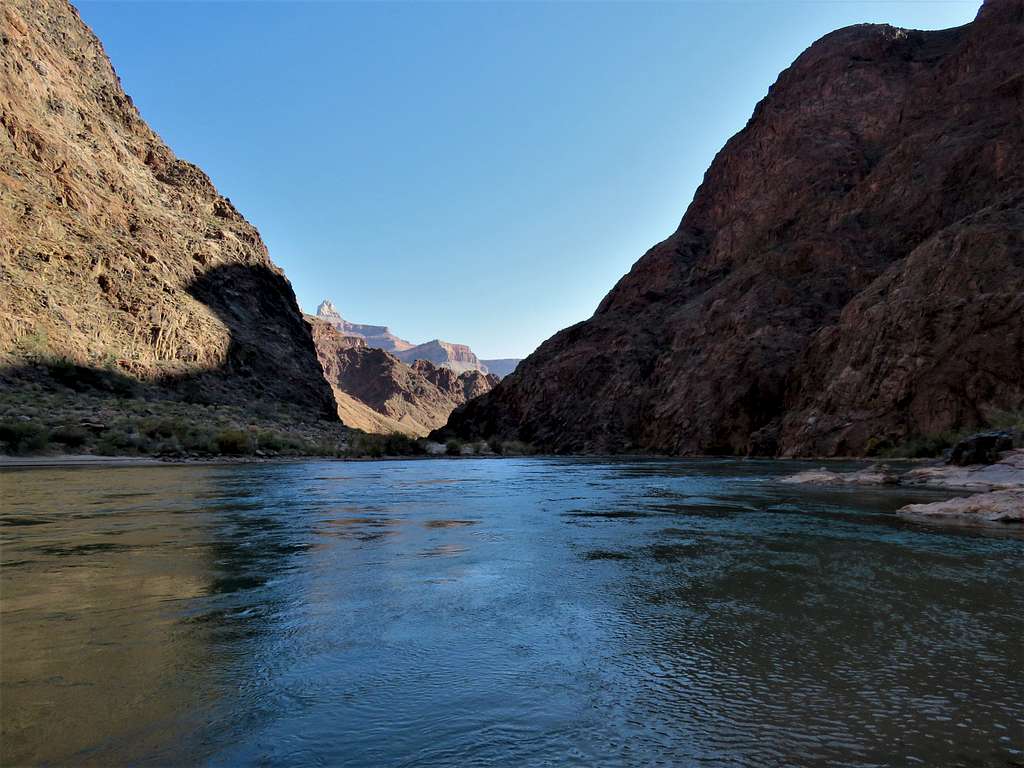
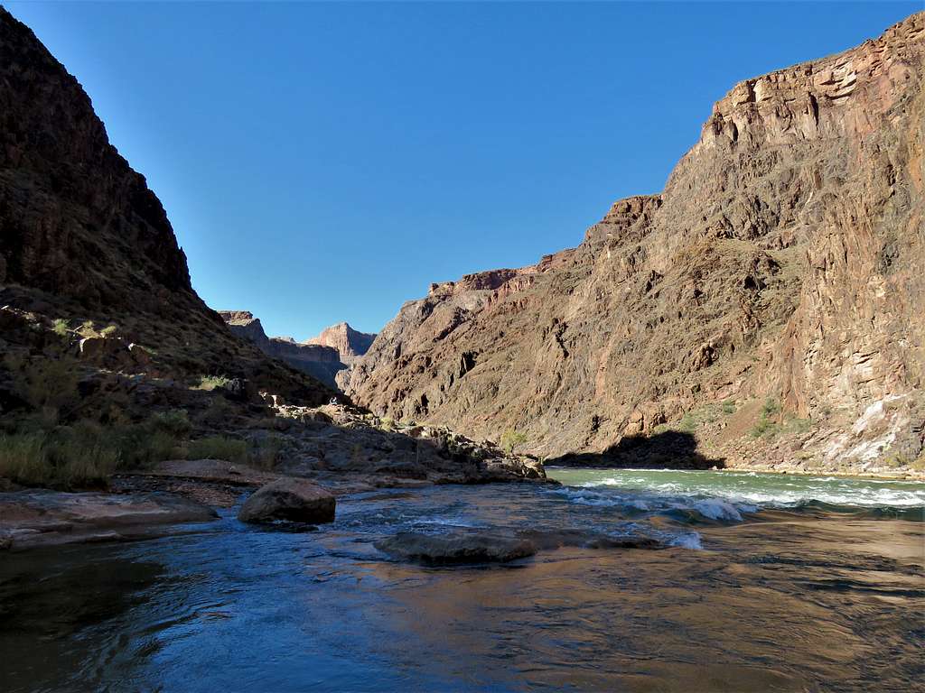
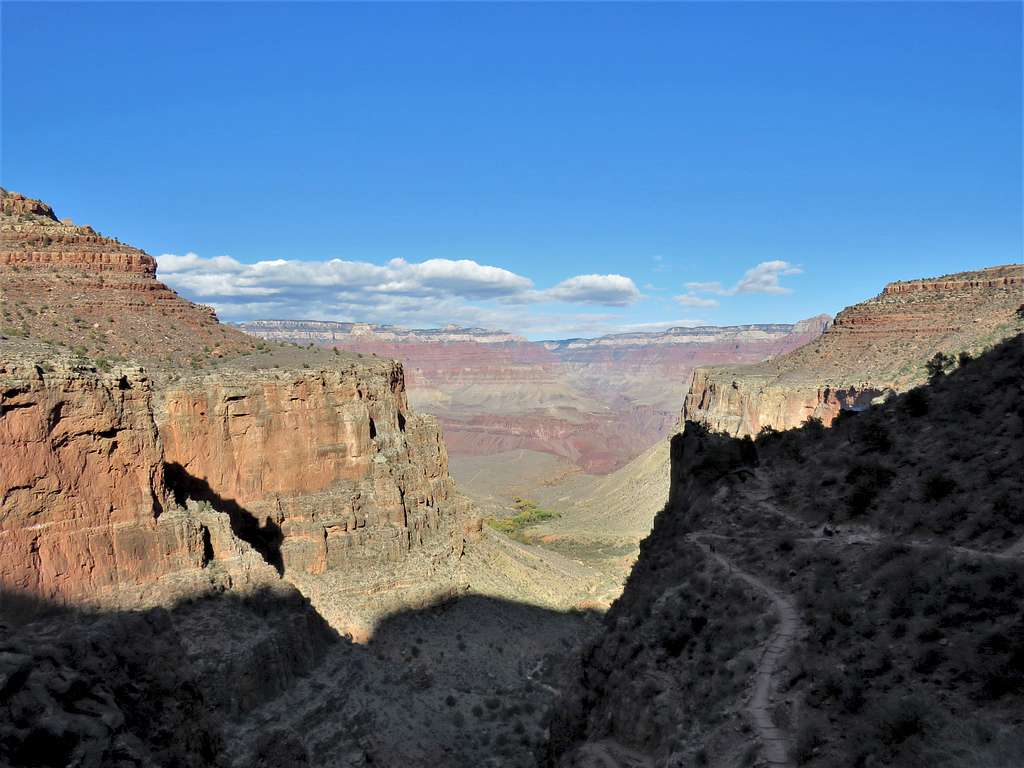
With each turn of Pipe Creek Canyon, I expected to see the river, but it just did not happen. Near the end, a cool wind began to blow and then I finally saw the river. My most favorite river, the mighty Colorado. Ran toward it and found a rocky protrusion into the water where I sat to eat and enjoy the views. It was 10:45 AM, 2410 ft elevation. A few minutes later, that Asian couple appeared and then another Asian couple that I had not seen before. I had the best sitting spot.
Colorado RiverColorado RiverColorado River
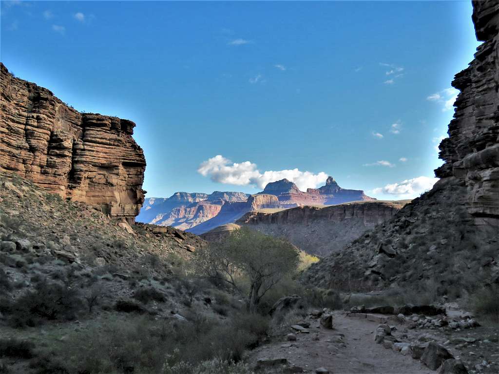
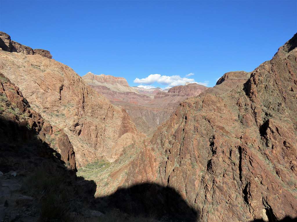
Through the opening of Pipe Creek Canyon, I could see a small portion of the South Rim. Later found out that I was looking at the 7050 ft Yavapai Point 4640 ft above.
Yavapai Point, 4640 foot above
Left at 11:02 AM and began to retrace my way back up the trail.
Inside Pipe Creek Canyon.
Pipe Creek CanyonPipe Creek Canyon
In a mile, I was up 400 vertical feet reaching the base of Devil’s Corkscrew Switchbacks.
Start of Devil's Corkscrew
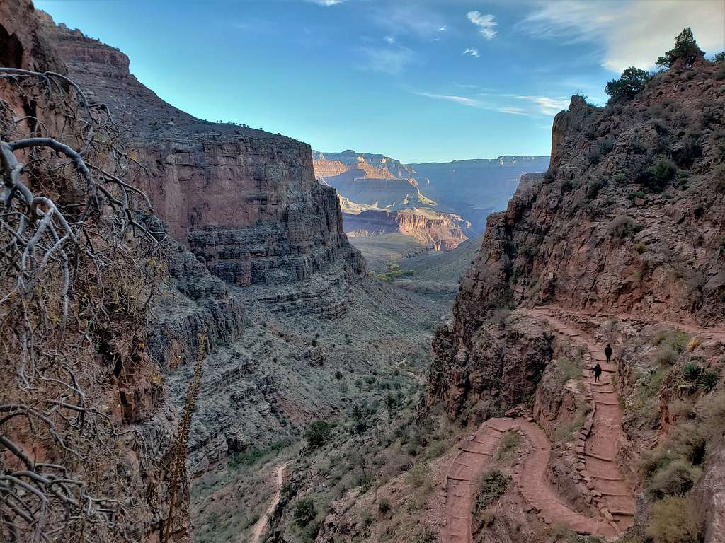
A train of mules came bringing tourists down the canyon. Had to stop to let them go. I was mostly in the shade. Was telling myself can you imagine going up this trail in the 100-degree heat of the summer under direct sunlight? No wonder people die.
View halfway up the switchbacks.
Looking into Pipe Creek Canyon
A look back at Devil’s Corkscrew.
Devil's Corkscrew
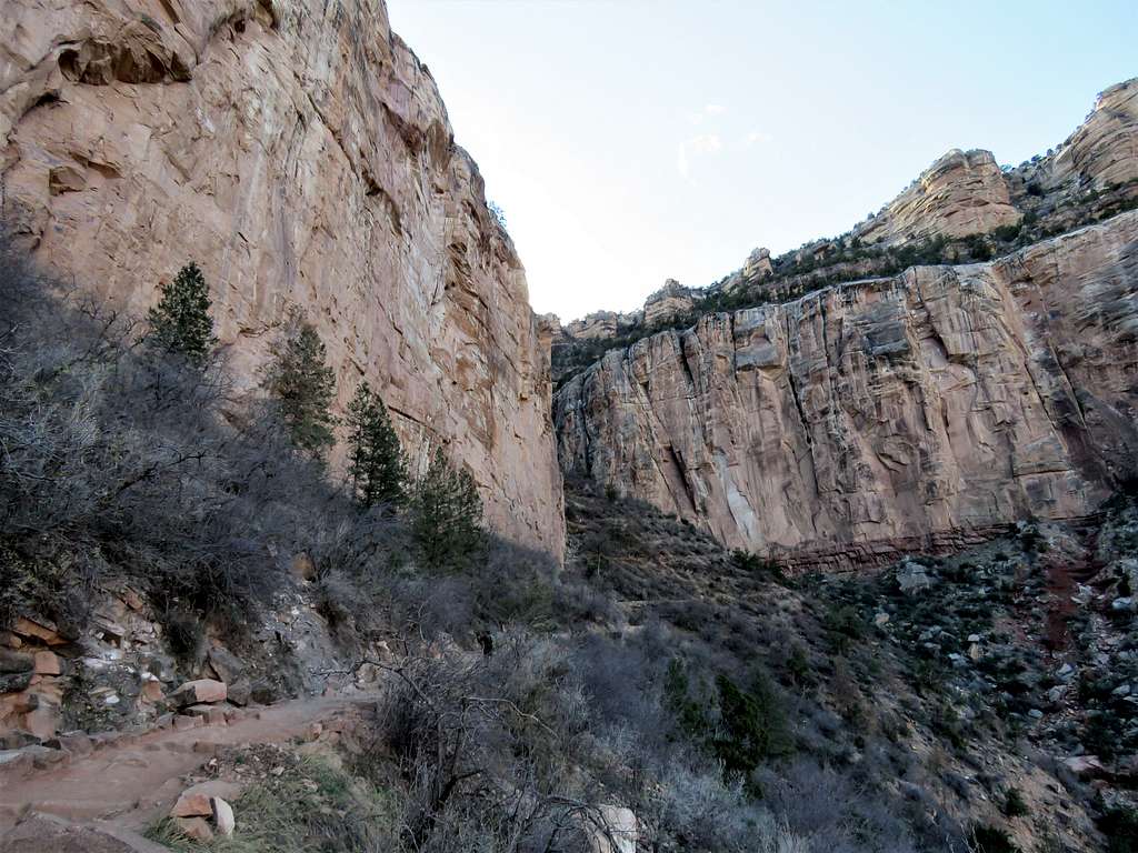
Just before entering the canyon of Garden Creek.
Below Garden Creek CanyonBelow Garden Creek Canyon
Garden Creek Canyon.
Garden Creek CanyonGarden Creek CanyonGarden Creek CanyonGarden Creek CanyonGarden Creek Canyon
Before Indian Garden.
Lower Indian GardenLower Indian GardenLower Indian Garden
Reached Indian Garden Campground 3790 ft elevation at 12:57 PM. I sat on a bench near a water faucet. Many people were there. I had brought 4 liters of water with me and at that point had drunk 1.5 liters of it. Quickly drank more than a liter and felt much more energetic. Filled my bottles making my backpack heavy again. Back on the trail after 10 minutes or so.
Views from upper Indian Garden area.
Upper Indian GardenUpper Indian Garden
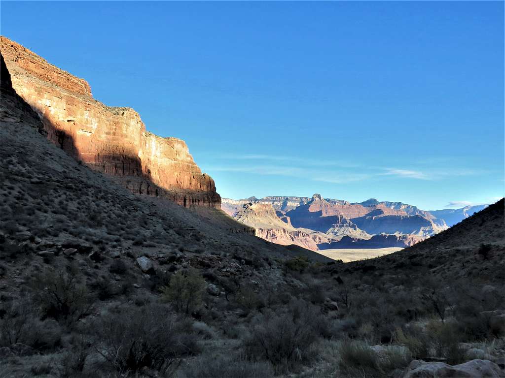
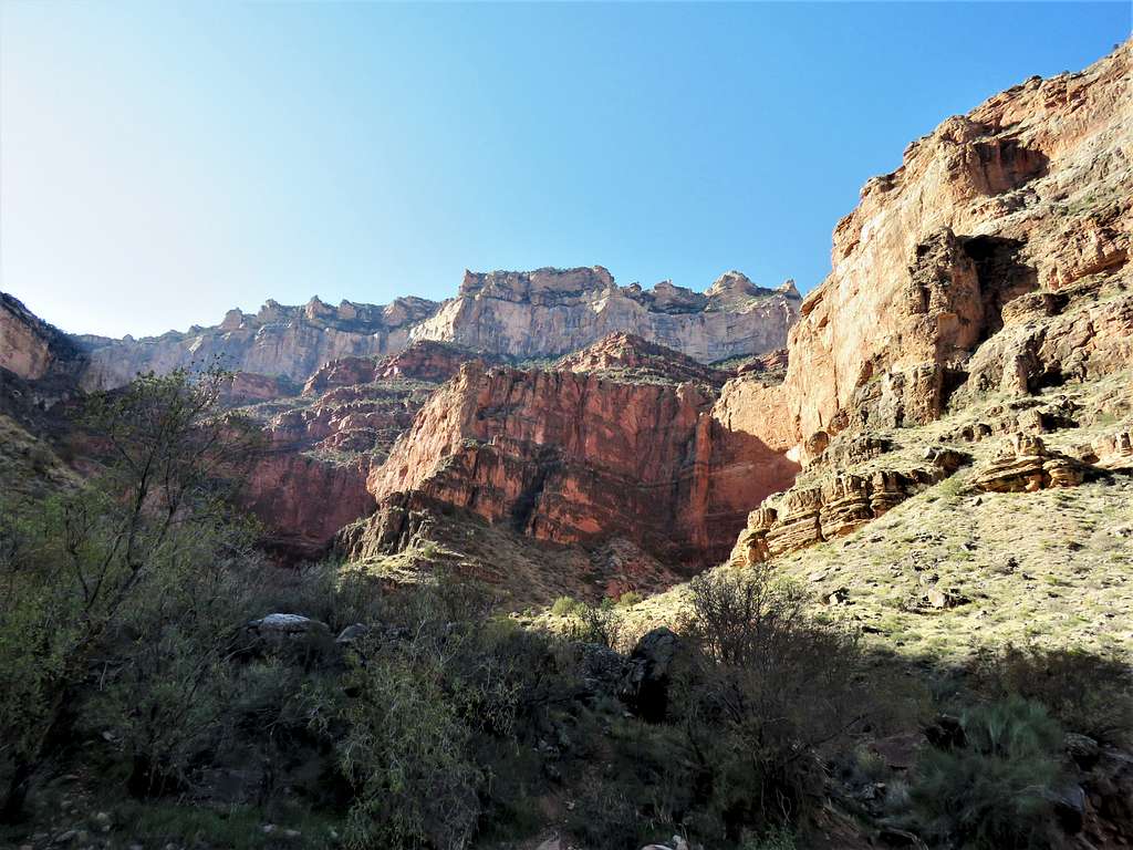
Going toward the switchbacks below Three Mile House, I had hiked close to 13 miles but still had around 2800 vertical feet to climb. Walls rose dramatically in front of me.
Above Indian GardenAbove Indian Garden
More walls.
Below Three Mile HouseBelow Three Mile HouseBelow Three Mile House
Reached Three Mile House at 1:56 PM, 4720 ft elevation. Since I had a lot of water, I decided to keep myself well hydrated. Sat there to eat and drink much water.
It became fairly crowded after that. Three Mile House seen on the right side of the picture.
Above Three Mile House
Had another water brake at One and a Half Mile House. View of the upper trail switchbacks in the funnel between the walls.
Upper switchbacks
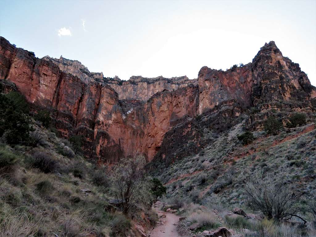
The trail then became very crowded. Reached the trailhead at 3:50 PM 6860 ft elevation. I was suddenly filled with joy. What a spectacular hike! View from the rim.
Parents refers to a larger category under which an object falls. For example, theAconcagua mountain page has the 'Aconcagua Group' and the 'Seven Summits' asparents and is a parent itself to many routes, photos, and Trip Reports.


Comments
Post a Comment