|
|
Route |
|---|---|
|
|
41.38770°N / 124.0172°W |
|
|
Hiking |
|
|
Spring, Summer, Fall, Winter |
|
|
Half a day |
|
|
Hike |
|
|
Overview
Prairie Creek Redwoods State Park
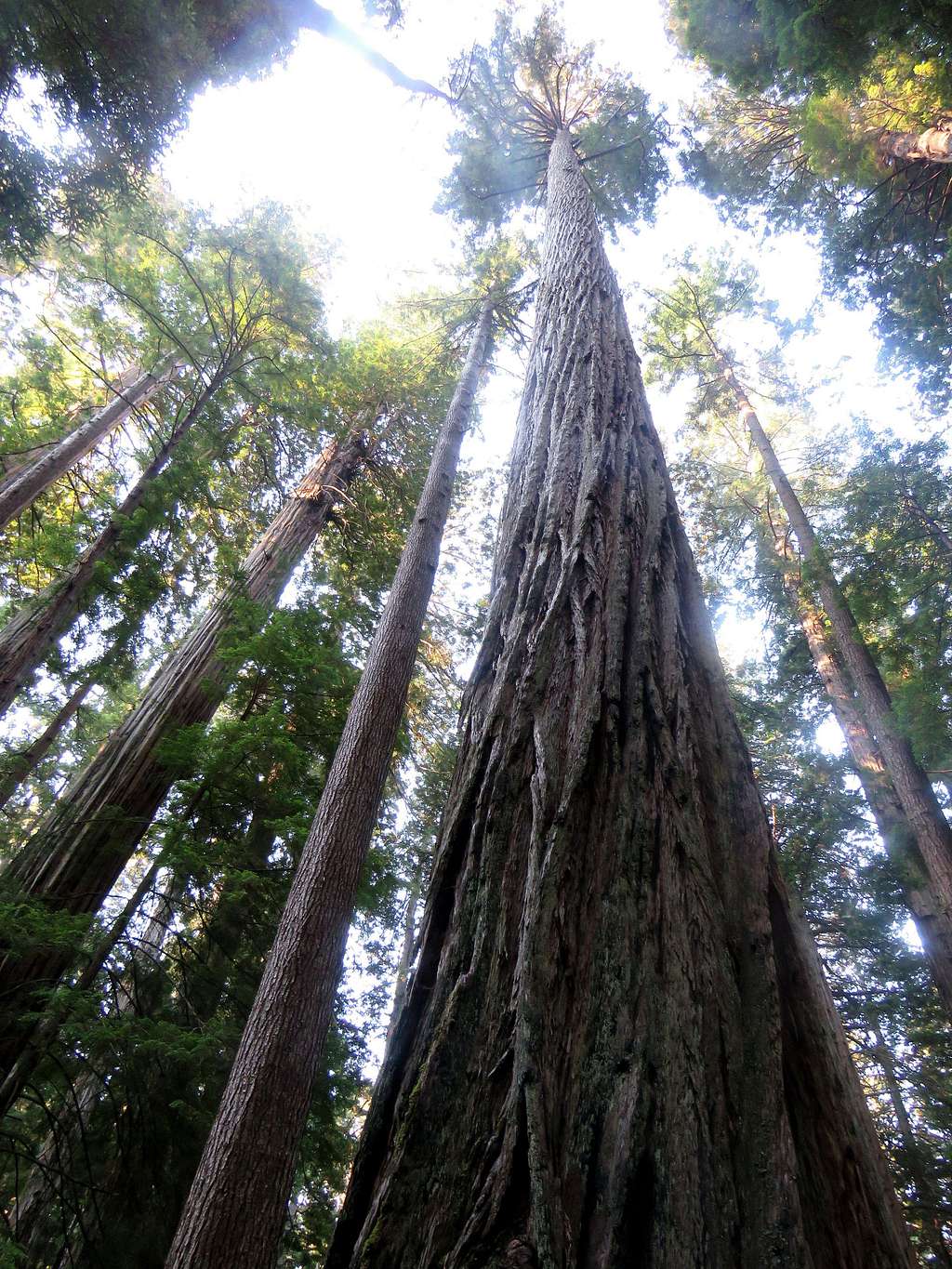
Prairie Creek Redwoods State Park preserves some of the finest specimens of Coastal Redwoods in northern California. The park has many trails that can obviously be hiked in any combination. I was able to hike almost all of the park’s trails by doing 4 different one day loop hikes. This is a description of one of the loop hikes. The other three loop hikes are as follows:
Ossagon, Friendship, Coastal Trails Loop
Miners, Irvine, Fern Canyon, Coastal Trails Loop
West Ridge, Prairie Creek Trails Loop
Brown, Rhododendron and Foothill Trails Loop
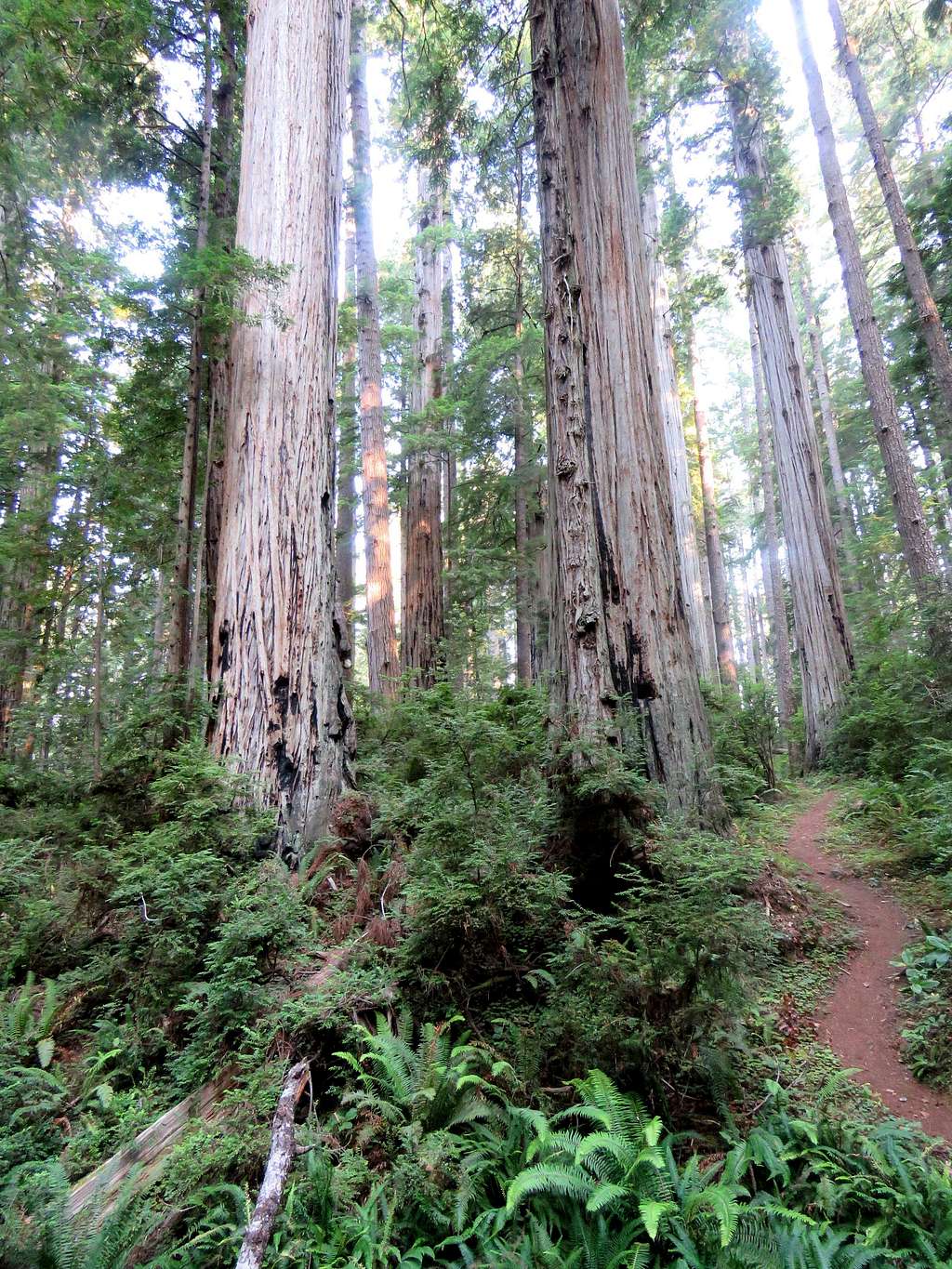
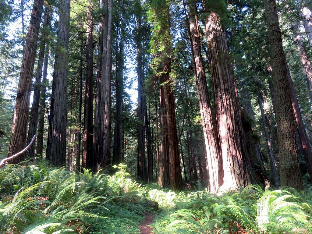
This description starts at Newton Drury Scenic Parkway and takes you up Brown Creek Drainage among a dense growth of Redwoods. You will then follow Rhododendron Trail close to the top of a ridgeline before descending down to near Newton Drury Parkway where Foothills Trail brings you back to the starting point.
Getting There
From Crescent City, California, drive 25 miles south on Route 101 to Exit 765 and turn onto Newton Drury Scenic Parkway. Go 6.5 miles south to Brown Creek Trailhead.
Route Description
| Total Hiking Distance | 8.9 miles loop |
| Maximum Elevation | 960 ft |
| Minimum Elevation | 200 ft |
| Total Ascent | 1350 ft |
From trailhead on Newton Drury Scenic Parkway (elevation 260 ft), follow South Fork Trail 800 ft west to reach the signed junction with Brown Creek Trail. Turn left and hike Brown Creek Trail north through a dense growth of Redwoods. You will find a number of plaques and memorial signs along the trail.
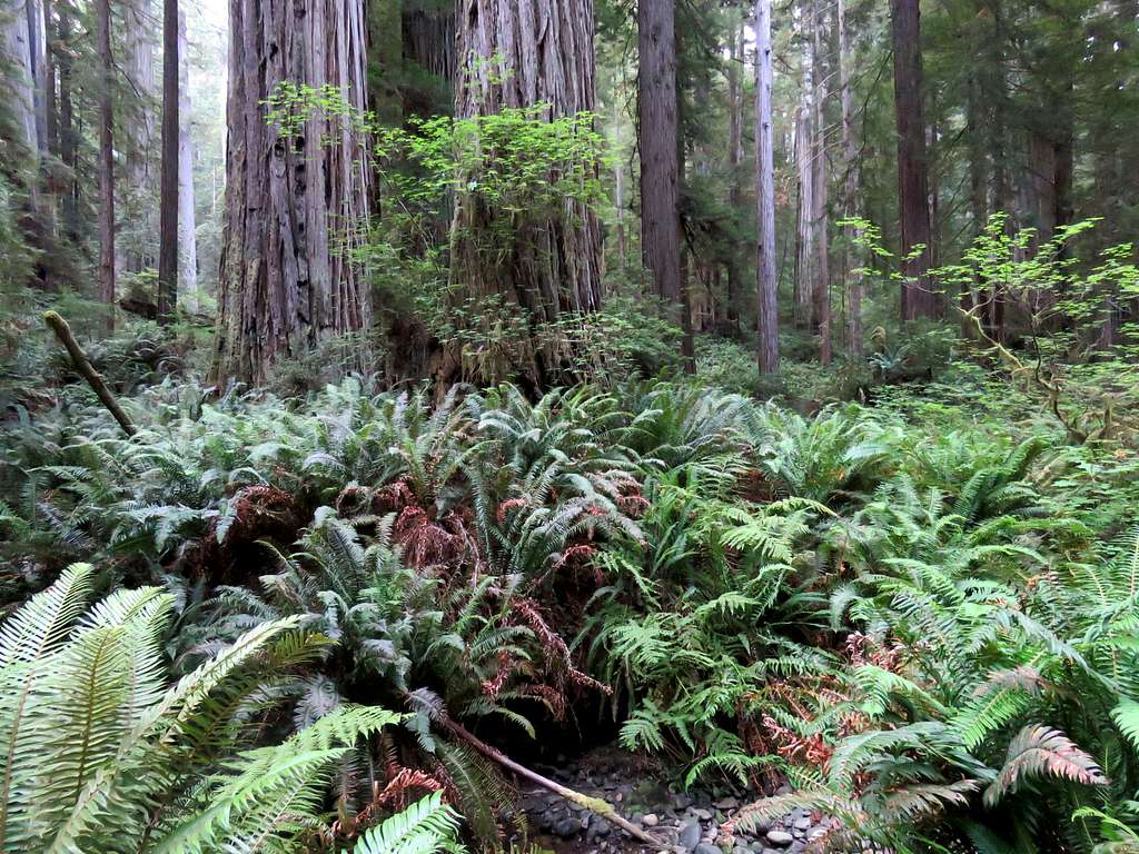
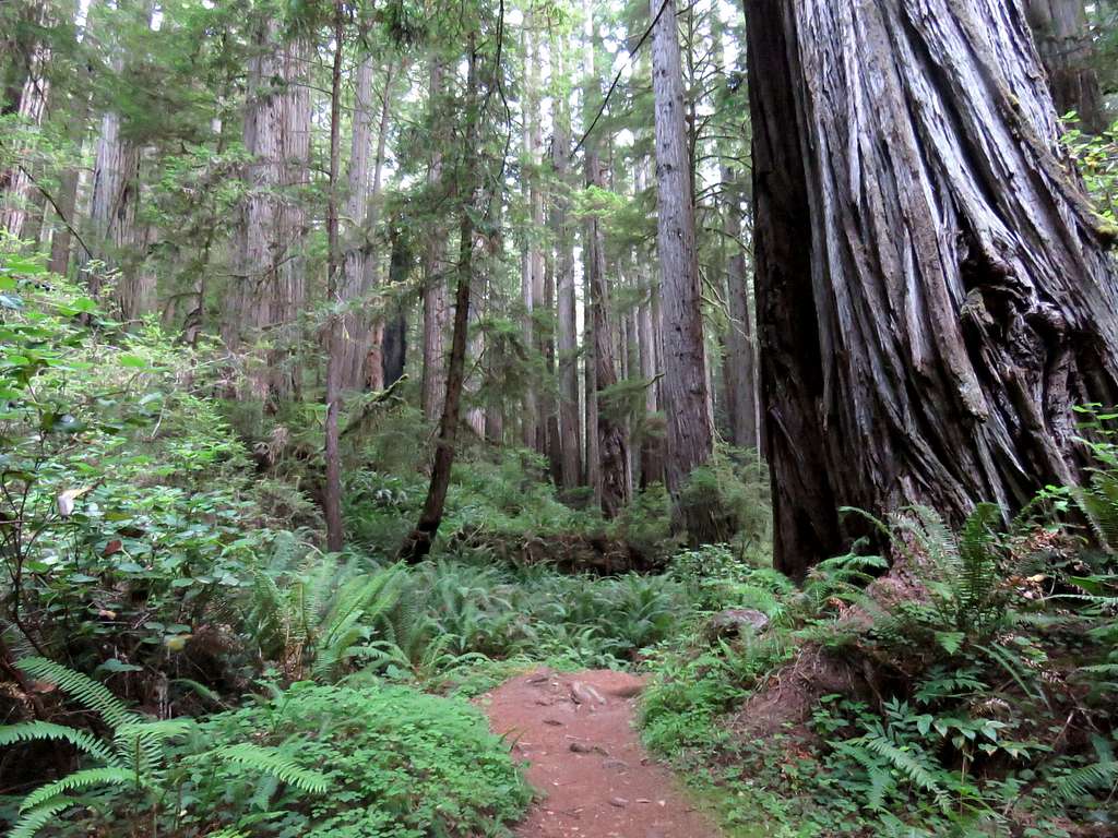
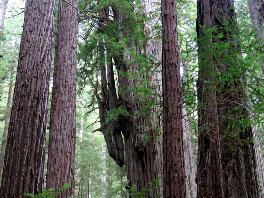
Trees growing out of fallen trees.
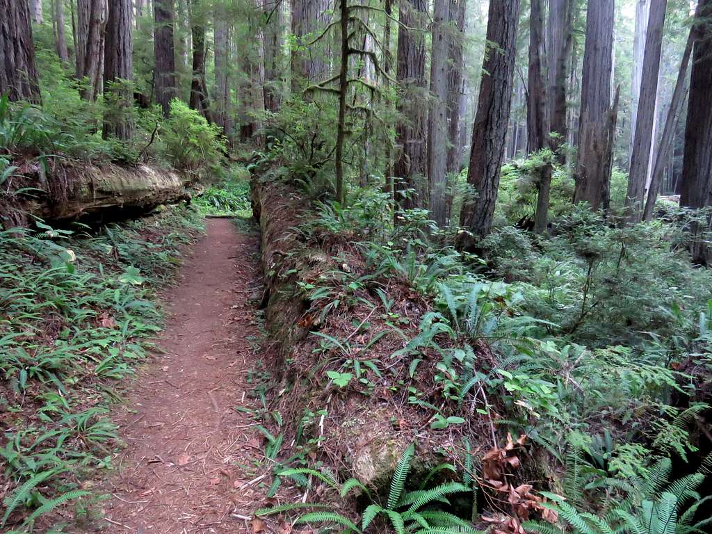
You will slowly go up in elevation until you reach the signed junction with Rhododendron Trail. Turn right and follow Rhododendron Trail south slowly going up in elevation. You will go past the junction with South Fork Trail which is a shortcut back to the starting point. In places, traffic noise from Highway 101 may become audible.
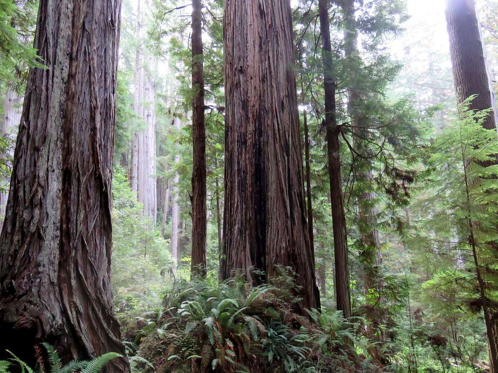
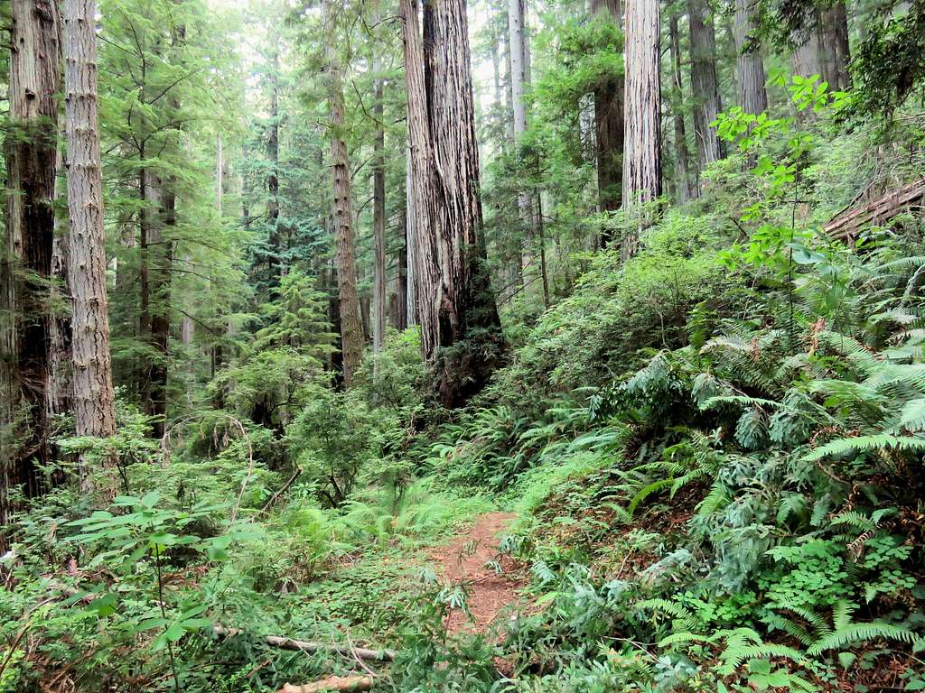
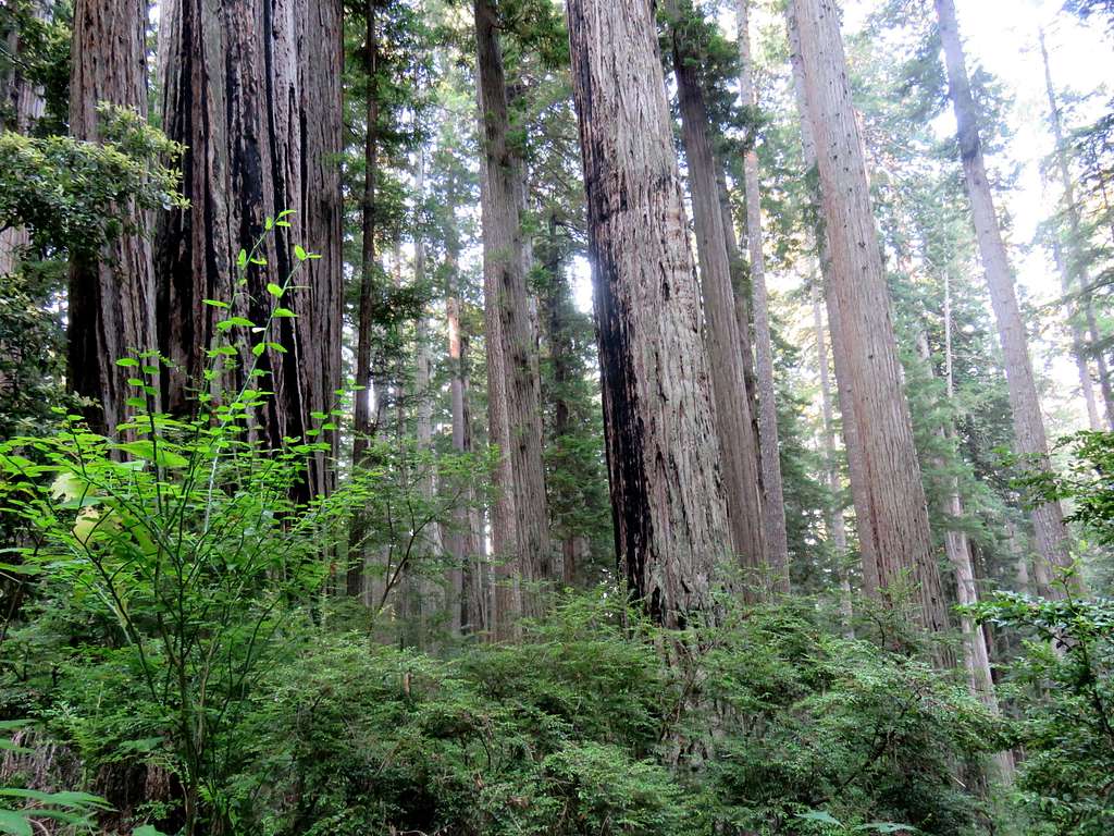
The trail then reaches Cal-Barrel dirt road. Hike the road 250 ft and pick up the trail on the left side reaching the maximum elevation of the hike at 960 ft. The trail takes you right under this tree.
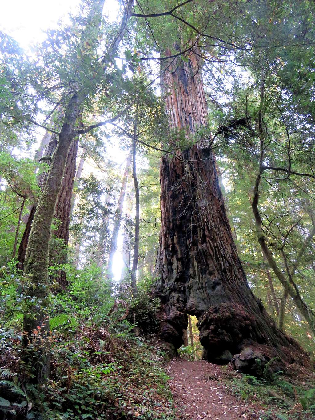
Inside the tree.
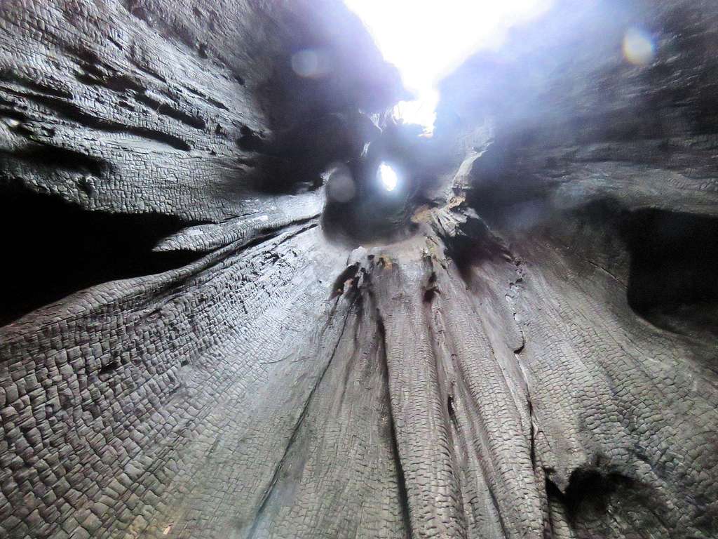
Looking back at the tree.
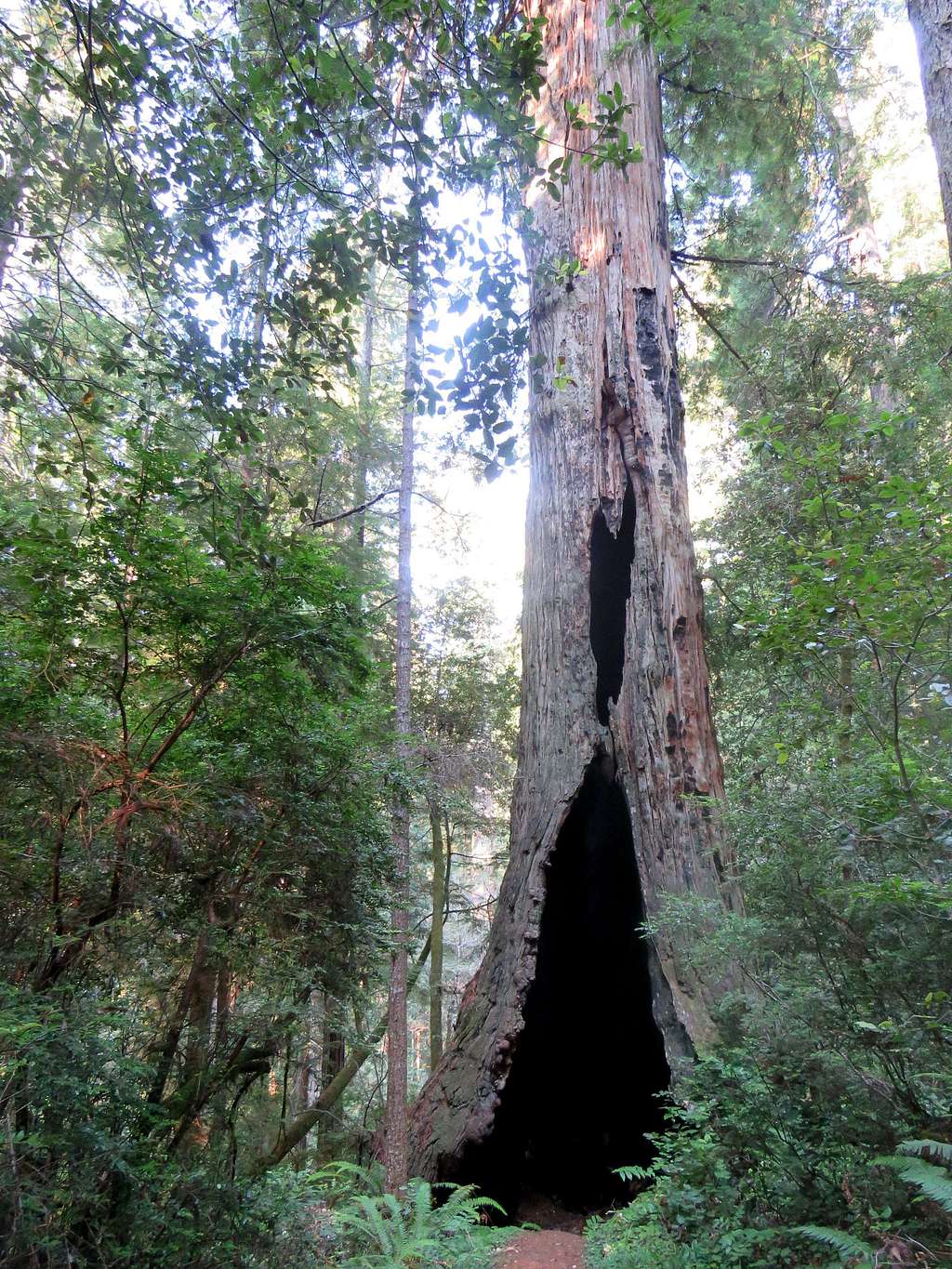
You will then start a relentless descent down the forest.
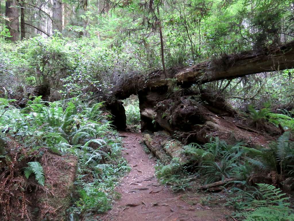
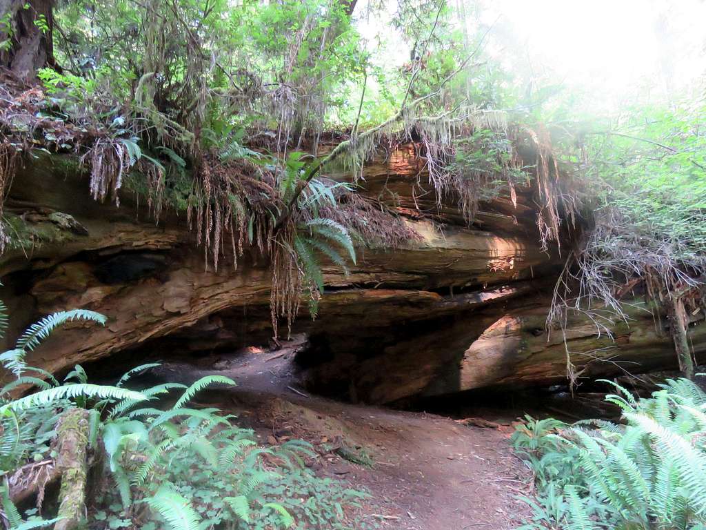
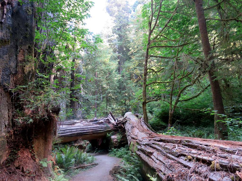
This is not a cliff. It is a number of fallen trees. The trail goes under these logs. You can see trees and mosses growing out of the logs.
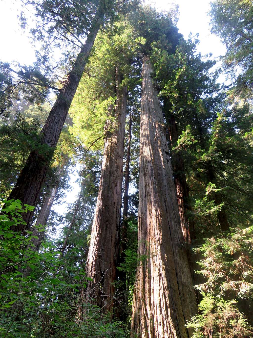
For a shortcut, you can go onto Cal-Barrel Road or you could continue on the trail to reach Cathedral Trees Trail which heads north parallel to Newton Drury Parkway. Follow the trail north as it becomes Foothill Trail.
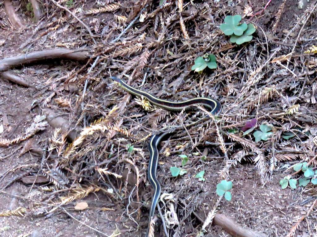
Snake on the trail.
You will get access to The Big Tree. Unfortunately I missed that tree.
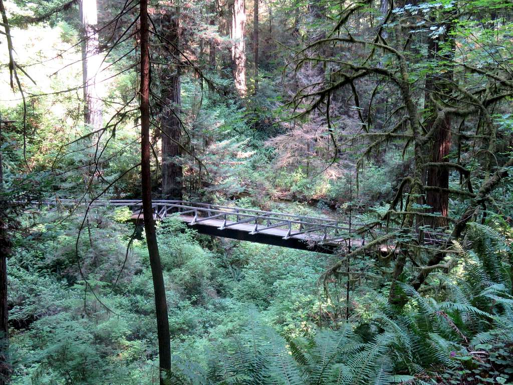
Bridge on Foothill Trail. Continue until you reach South Fork Trail which returns you to the starting point.
External Links


