-
 14404 Hits
-
 85.36% Score
-
 20 Votes
|
|
Mountain/Rock |
|---|---|
|
|
37.98708°N / 107.85489°W |
|
|
San Miguel |
|
|
Hiking, Mountaineering, Scrambling |
|
|
Spring, Summer, Fall, Winter |
|
|
13213 ft / 4027 m |
|
|
Overview
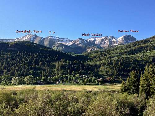
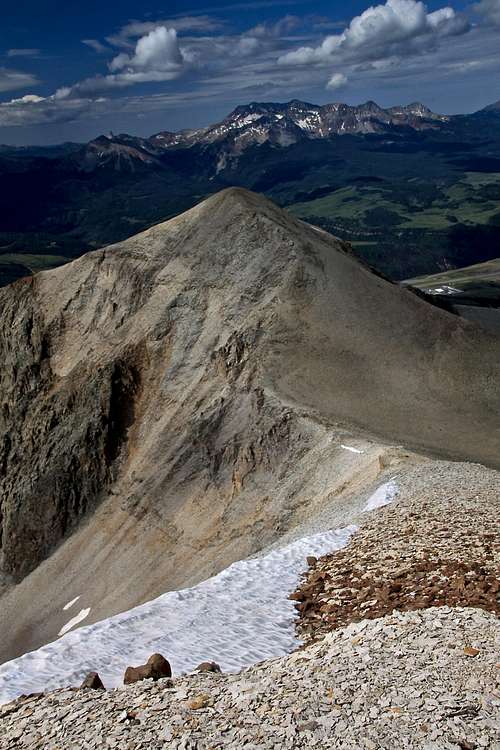
Campbell Peak is an unranked 13er located within Sneffels Range, close to the town of Telluride.Why to add this peak since it is unranked? because it is there and it has a name. The peak looks beautiful from the drive to Telluride and especially from Telluride Ski Resort.
It combines very nicely with “T 0”, ranked high 13er 13,735 feet (= 4027 meters). "T 0" is a bicentennial peak (among the top 200 in Colorado) and it also is on the list of 50 San Juan Highest.
- “T 0” Peak 13,735 feet 0.49 miles
- “West Dallas” 13,741 ft 1.16 miles (unranked)
- “S 3” 13,410 feet 1.20 miles (unranked)
- “S 5” 13,380 feet 1.45 miles (unranked)
- “S6” 13,441 feet 1.46 miles
- Mears Peak 13,496 feet 1.60 miles
- Dallas Peak 13,809 feet 1.68 miles
- “S 4” 13,242 feet 1.88 miles
- “S 7” 13,220 feet 2.01 miles
- Wolcott Mnt. 13,041' 2.05 miles (unranked)
- Ruffner Mnt. 13,003' 2.13 miles (unranked)
- “S 8” 13,252 feet 2.74 miles
- Mount Sneffels 14,150' 3.59 miles
Getting There
The Eider Creek Trailhead is close to Telluride. Telluride is a popular tourist destination and it is really easy to get there.Route - Southeast Ridge
Start at Eider Creek Trail Trailhead, walk for about 45 min on a well marked and easy to follow Eider Creek trail as it winds through beautiful aspens. Turn west at the junction with Deep Creek trail intersection. This is well signed.Continue on Deep Creek trail west, it even drops a little bit down in elevation. You will pass 2 small drainages and then a creek. Here the trail turns up and after a couple of switchbacks, look for a huge pine tree that fell across Deep Creek Trail and that has saw marks where a chunk had to be cleared from the trail. This tree covers a small deer trail on the right (N), which is the way.
Start just left of the big pine tree, leaving Deep Creek Trail, and follow the deer trail or bushwhack up a little shoulder/ridge for about 1/4 mile (stay right to avoid many fallen trees). Next, angle to the left (NW) toward the clearing before the super steeps. If you do it right, it’s only 15 minutes to the clearing from Deep Creek Trail. It’s 2 hrs more to the summit. Bushwhack up the first steep drainage from the trees. Hike steeply on the left rise to start, but cross back right at a rock ledge in the drainage go back into the aspens. Or, from the clearing, go back into the woods, and scramble up the left side. This part is disorienting, going up or down. Either way, hike the strongest trail straight up through aspens, between the rock outcrops, and continue more steeply through the high evergreens to Campbell’s SE ridge. Stay on it. I did a slight variation and ended up higher up on the ridge (about 200 feet above the fence). I did not find the route finding too difficult, and gaining a ridge took a while, but once up there it is rewarding.
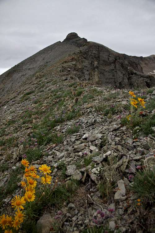
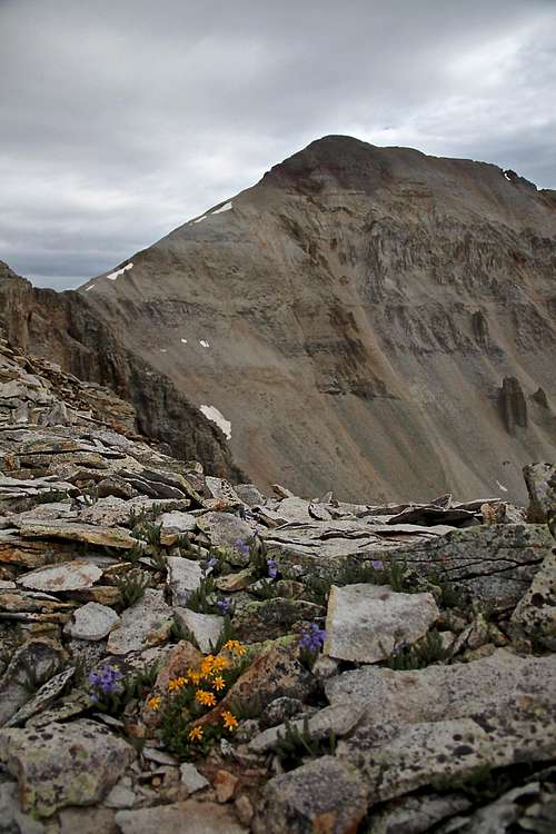
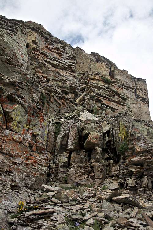
After crossing an old broken fence near the ridge and tree line, hike up the southeast ridge. Enjoy the views, especially Dallas Peak, West Dallas and "T 0" look great. The ridge is easy until you see a large rock obstacle. It is not as bad as it looks, just approach it and head towards its right side - there is an easy and not too exposed scramble, perhaps a few class 3 moves. A few small cairns mark the path too, but I had a hard time spotting those on the way up. The rest of the ridge is ok to the summit on flat, loose scree. It is just a short 15 min stroll once you get above this obstacle.
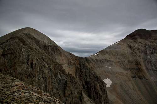
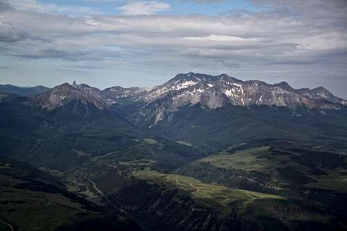
The summit appears small since much taller "T 0" is right behind it. There is a tiny cairn, no sign in register. The views over to Telluride Mountain Village, Wilson group, "T 0", West Dallas, Dallas Peak, Mount Emma, and to the northwest of Mears peak are amazing. Unfortunately, 14er Mount Sneffels is not seen, it is hiding behind "T 0".
Bonus: T 0 and/or West Dallas Peak would definitively extend your hiking day.
Distance: 9 miles round trip
Elevation change: 4,400 feet


