
Comments
No comments posted yet.
|
|
Trip Report |
|---|---|
|
|
47.58340°N / 90.8602°W |
|
|
Jul 1, 2020 |
|
|
Hiking |
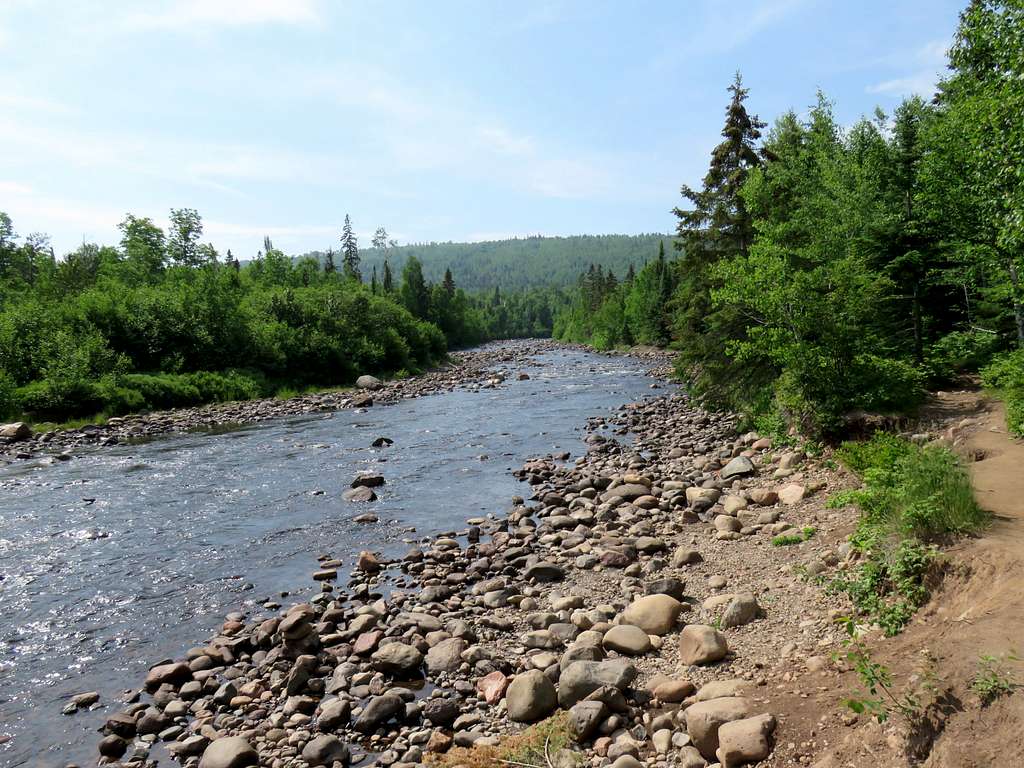
The 1526 ft high Carlton Peak sits on the north shore of Lake Superior near the community of Tofte, Minnesota. The straight line distance between the summit of Carlton Peak and Lake Superior is 1.35 miles and the peak rises 926 vertical feet above the surface of the lake. Carlton Peak can be reached via Superior Hiking Trail, a 310 mile long trail that follows the crest of the mountains on the north side of Lake Superior not far from the lake. The shorter approach is a 1.7 mile hike from the east starting at Britton Peak Trailhead on Route 2. From the west, the hike is 3.35 miles and starts at Temperance River Trailhead on Route 61. This approach is more scenic because for the first mile, the trail follows Temperance River providing you with good views of its canyon and rapids.
I did a 5.9 mile one way hike from Britton Peak Trailhead, first to the top of a high point known as Britton Peak, then to Carlton Peak and Temperance River Trailhead.
Elevation at Britton Peak Trailhead: 1210 ft
Britton Peak Elevation: 1335 ft
Carlton Peak Elevation: 1526 ft
Elevation at Temperance River Trailhead: 660 ft
One way Hiking Distance: 5.9 miles
Total Ascent per my GPS: 915 ft
My wife Mary and I left our home in Janesville, Wisconsin around 5:00 a.m. heading to Tofte, Minnesota for a 4 night vacation at a beach front condo. It was a 450 mile drive. Forecast had called for clear skies but once we reached the north shore of Lake Superior just beyond Duluth, we noted that there was much fog and mist near the shoreline. I knew that my hopes of seeing the lake from the top of the mountains would probably not come true.
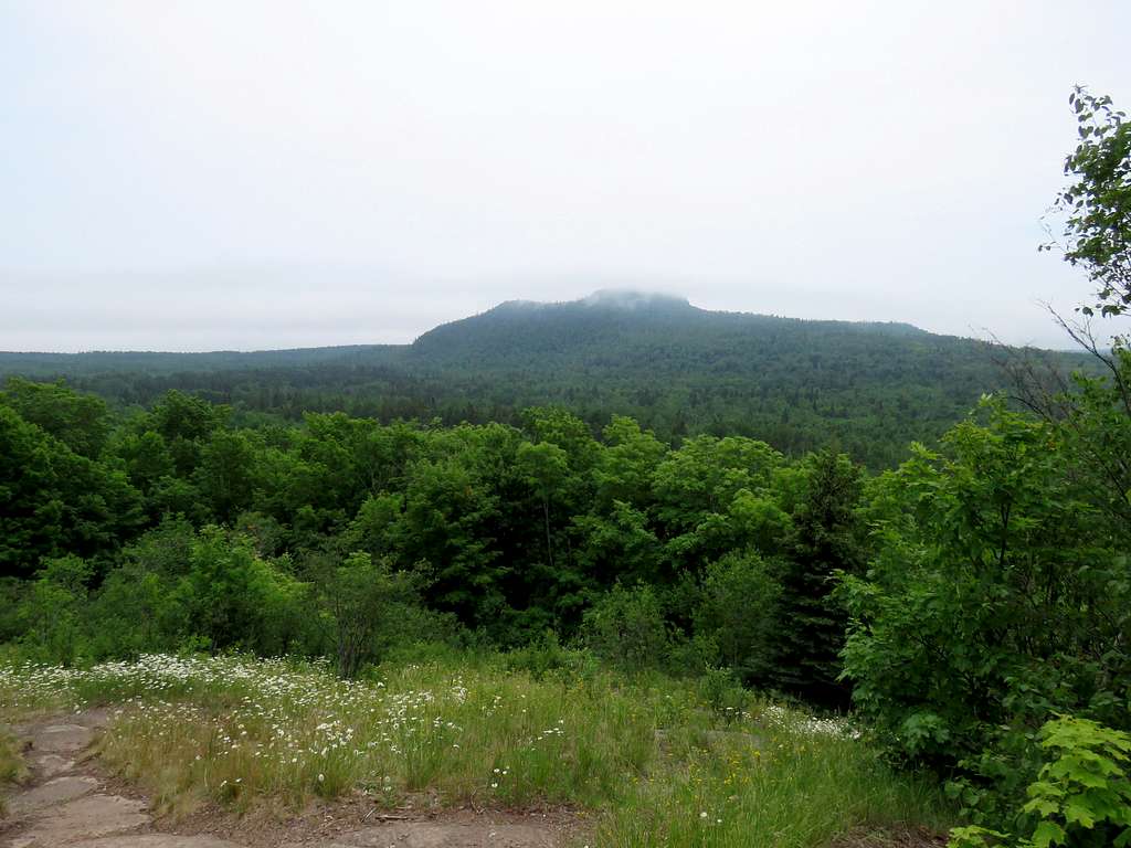
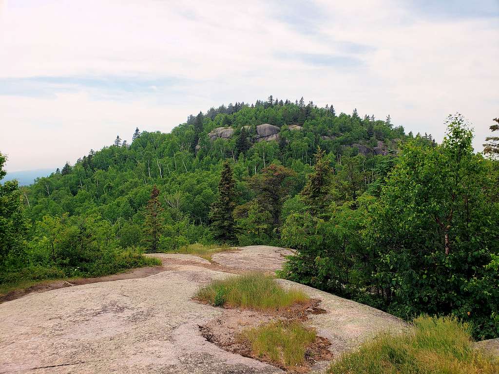
Mary dropped me off at Britton Peak Trailhead where I started my hike at 1:05 p.m. I asked her to pick me up at Temperance River Trailhead around 4:00 p.m. Followed the trail in the forest to climb Britton Peak which was only 125 vertical feet above. At first, I went the wrong way but soon found the correct path. The Trail went up steeply. It was warm and humid, unlike my usual hikes in western United States where the weather is usually dry. In 0.26 miles, I was on the summit of Britton Peak. There was an opening in the forest providing me with good views of Carlton Peak. The tip of Carlton Peak was in clouds. Unfortunately, Lake Superior was lost under the clouds.
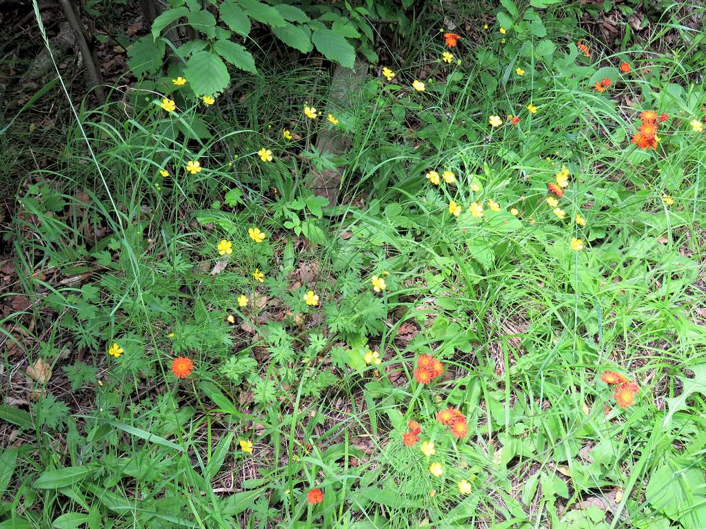
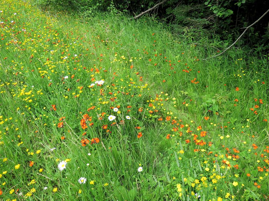
Went back to the trailhead and got on Superior Hiking Trail heading southwest. The trail crossed Route 2. Flowers by the road.
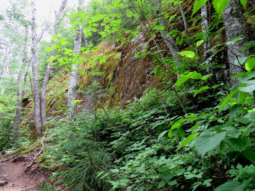
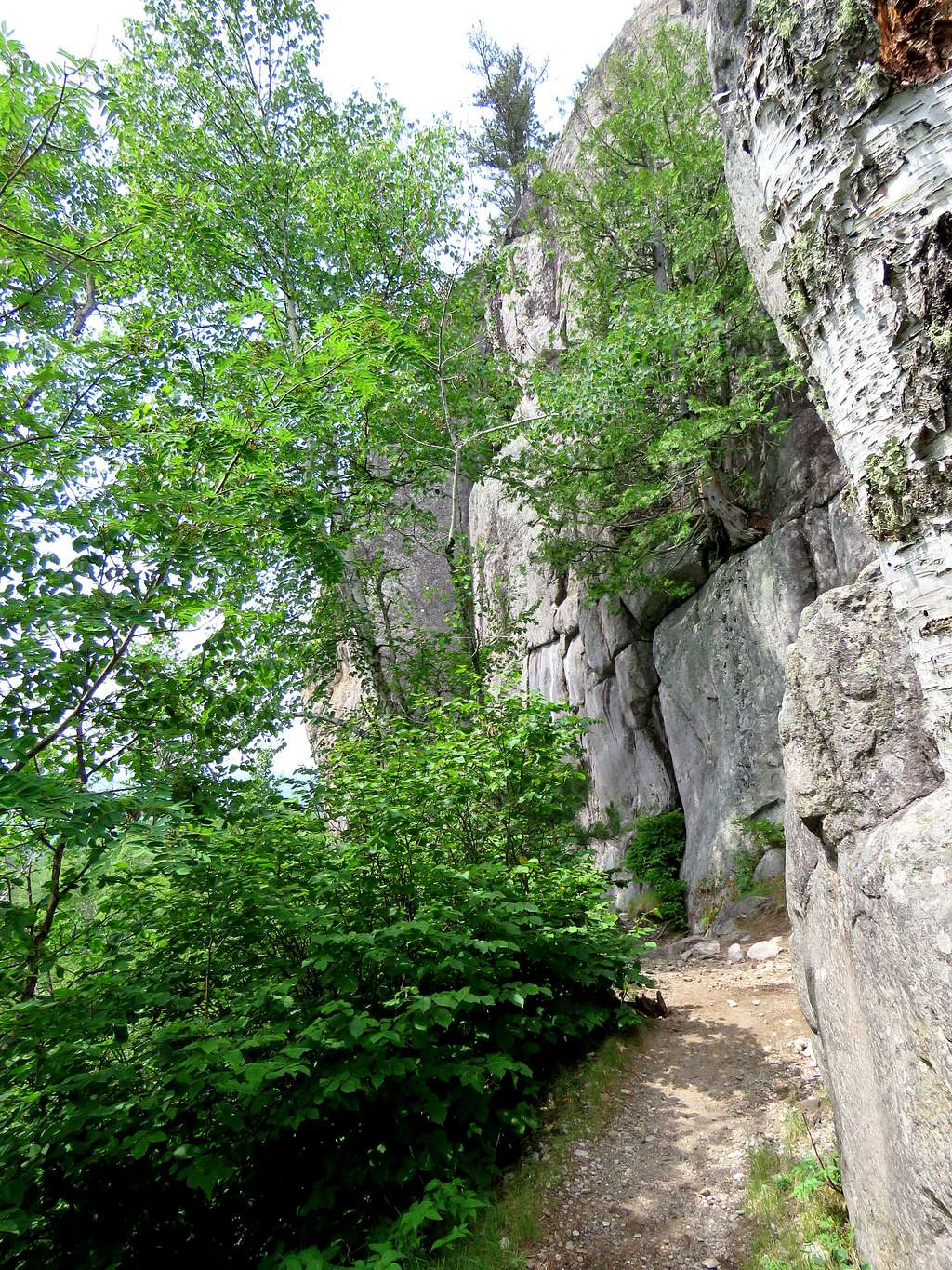
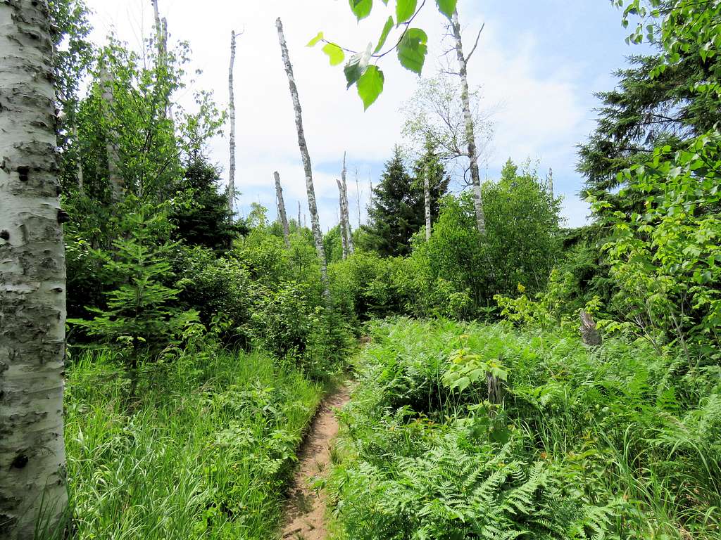
The trail went into a forest with no views of anything and after some time began to go up in elevation. As the summitpost page had mentioned, went by a moss covered wall and then reached a spur trail.
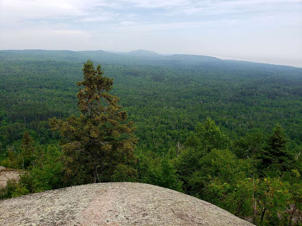
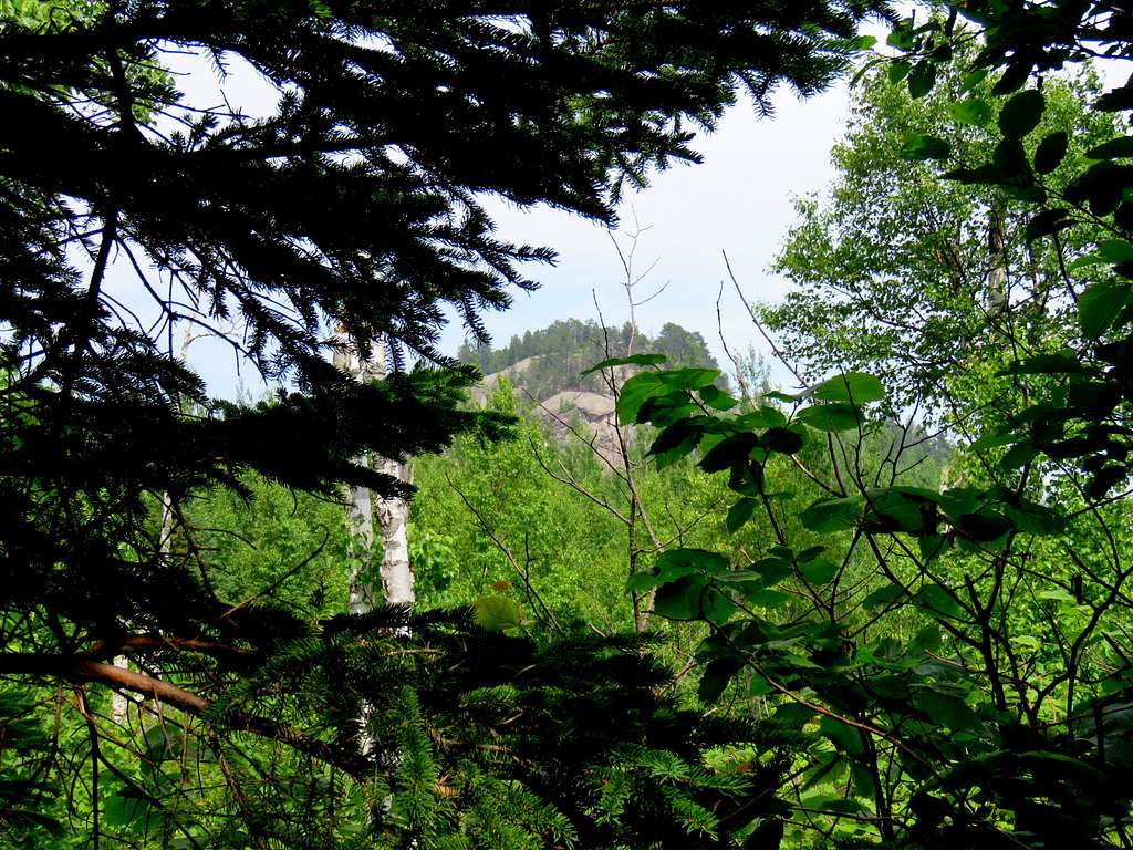
Followed the spur trail a short distance until I reached an opening in the forest on top of a rocky place 1410 ft high. It was 2:04 p.m. and I had gone 2.0 miles. Carlton Peak was in good view but Lake Superior continued to remain hidden.
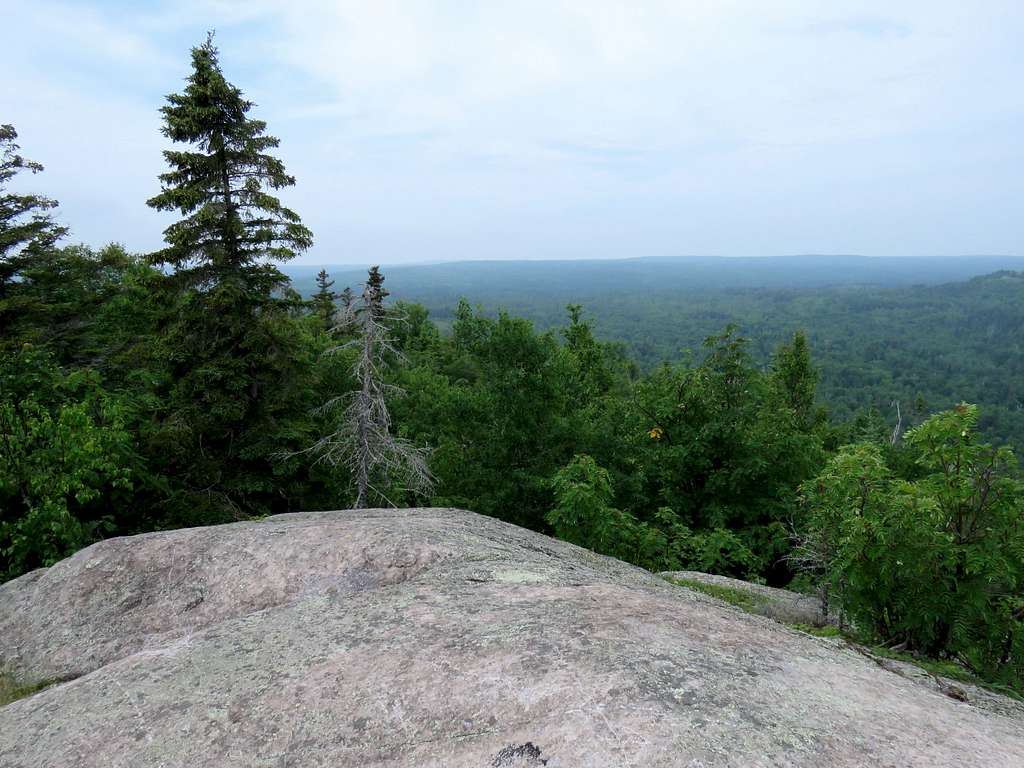
Got back on the main trail and made it to the top of Carlton Peak at 2:35 p.m. Tried hard to see Lake Superior through the fog and mist.
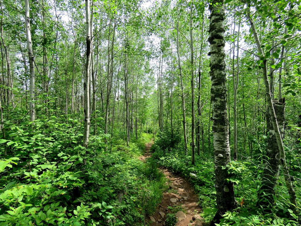
I then continued west on the trail traversing the base of the wall below the summit of Carlton Peak.
Slowly went down in elevation and at one point, got a glimpse of the summit of Carlton Peak behind me through the trees.
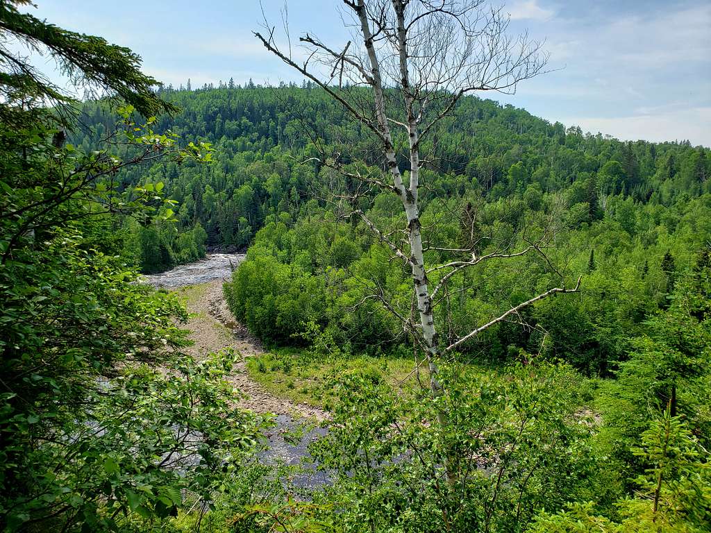
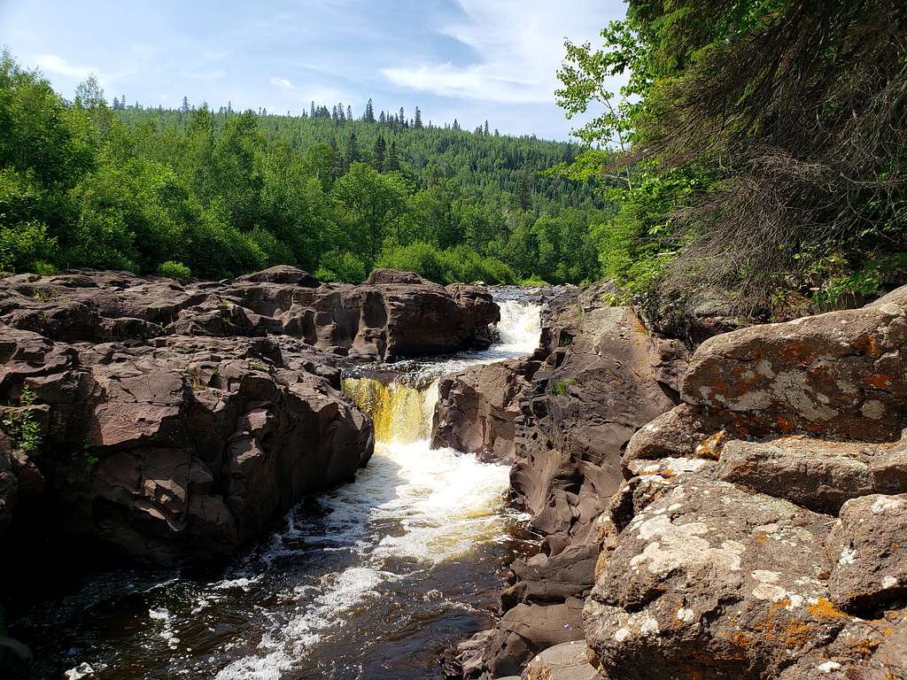
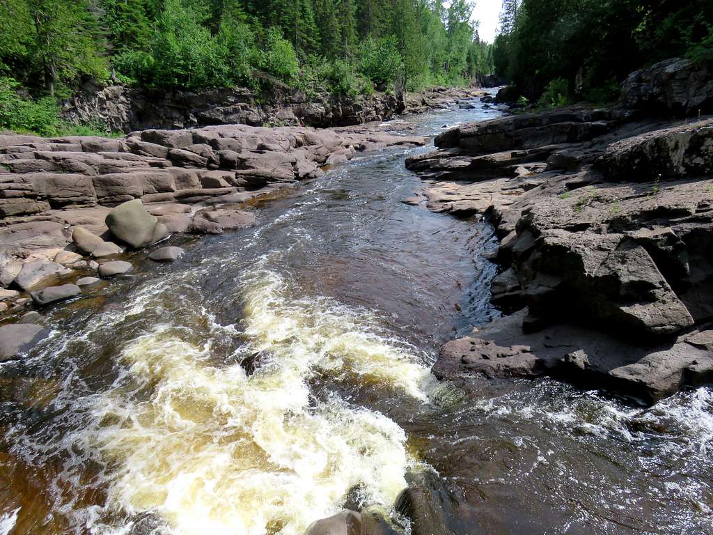
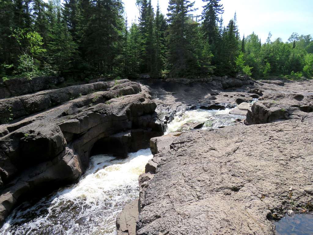
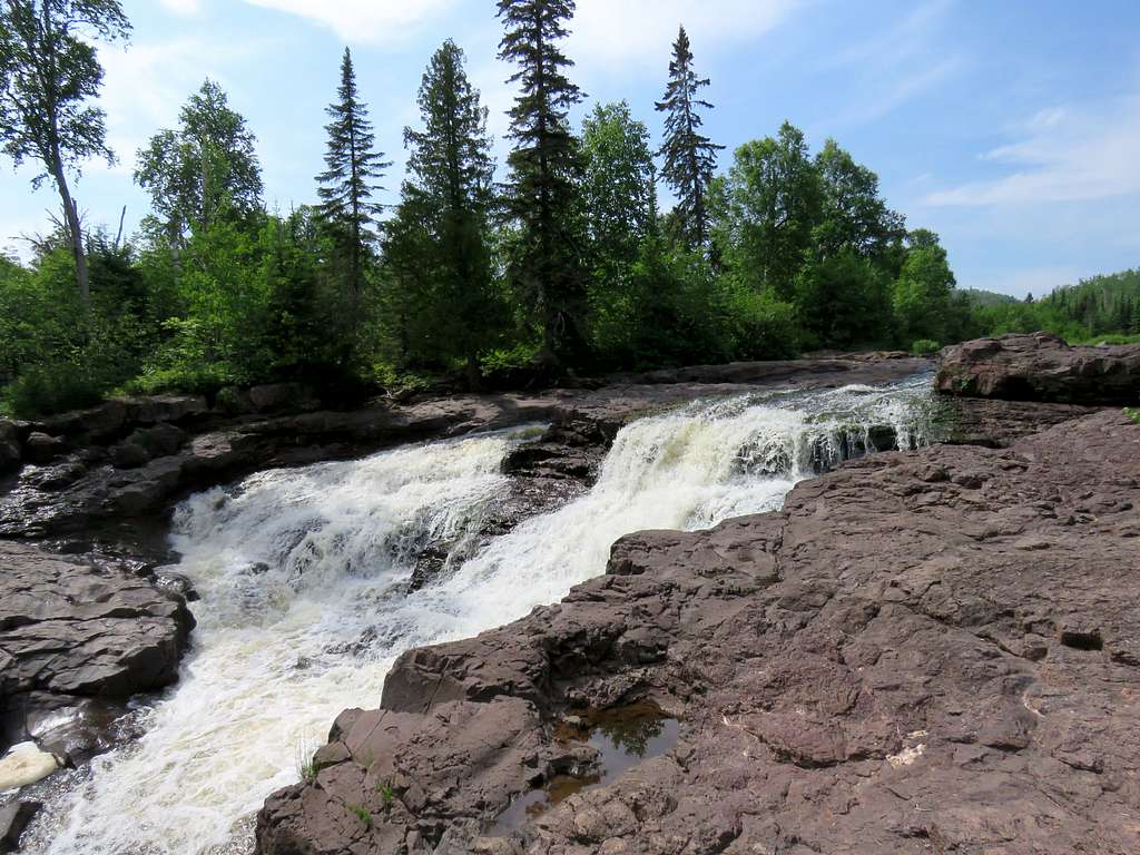
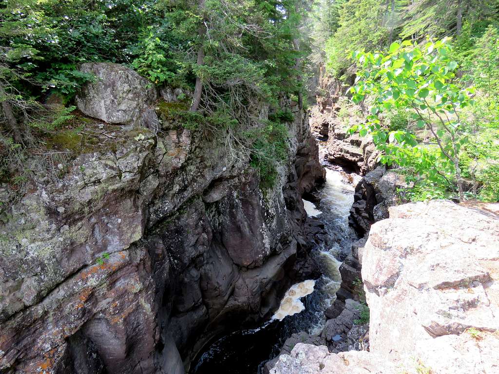
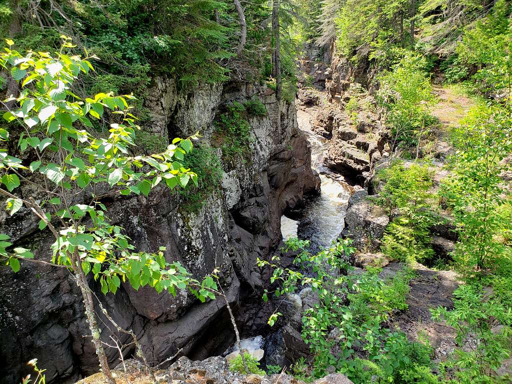
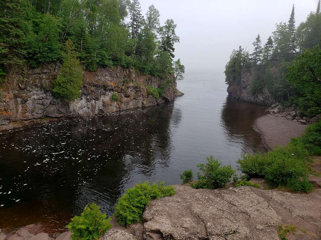
I then got my first view of Temperance River.
The trail went down in elevation and finally reached the banks of the river.
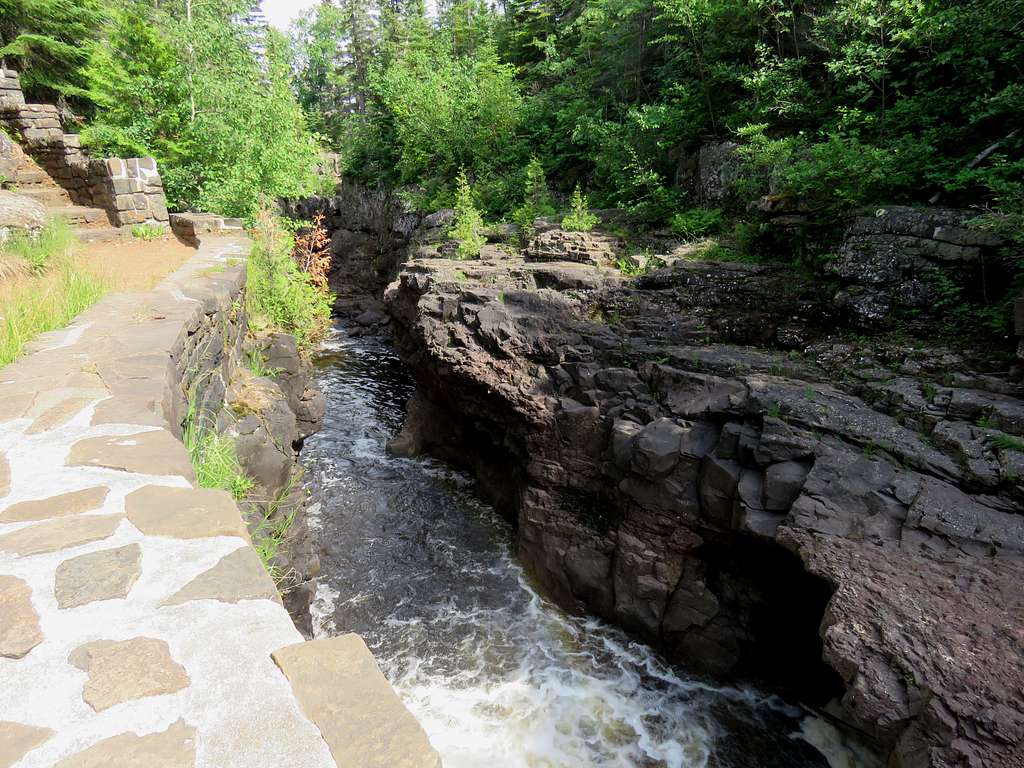
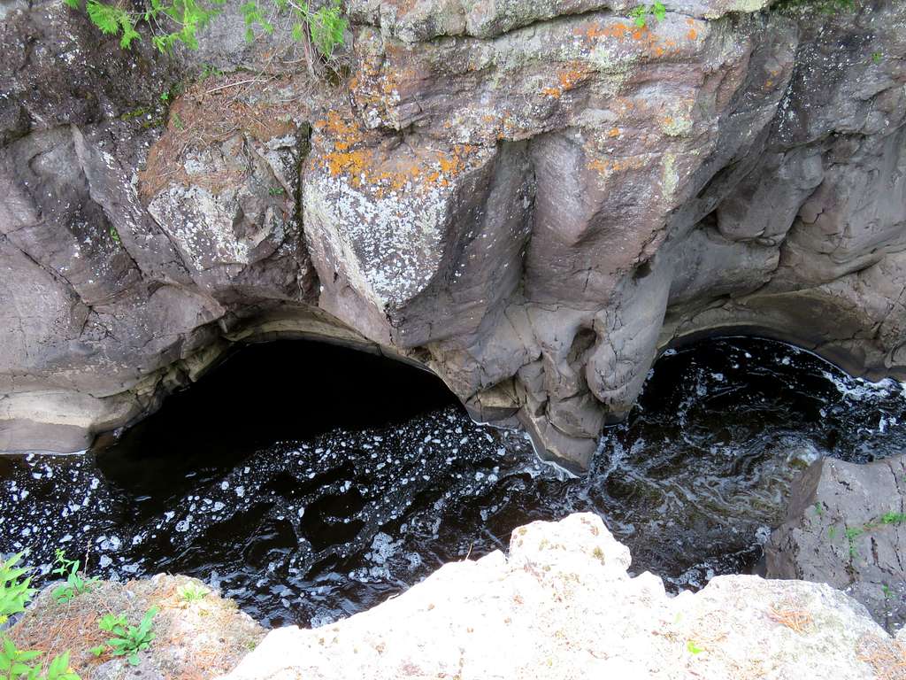
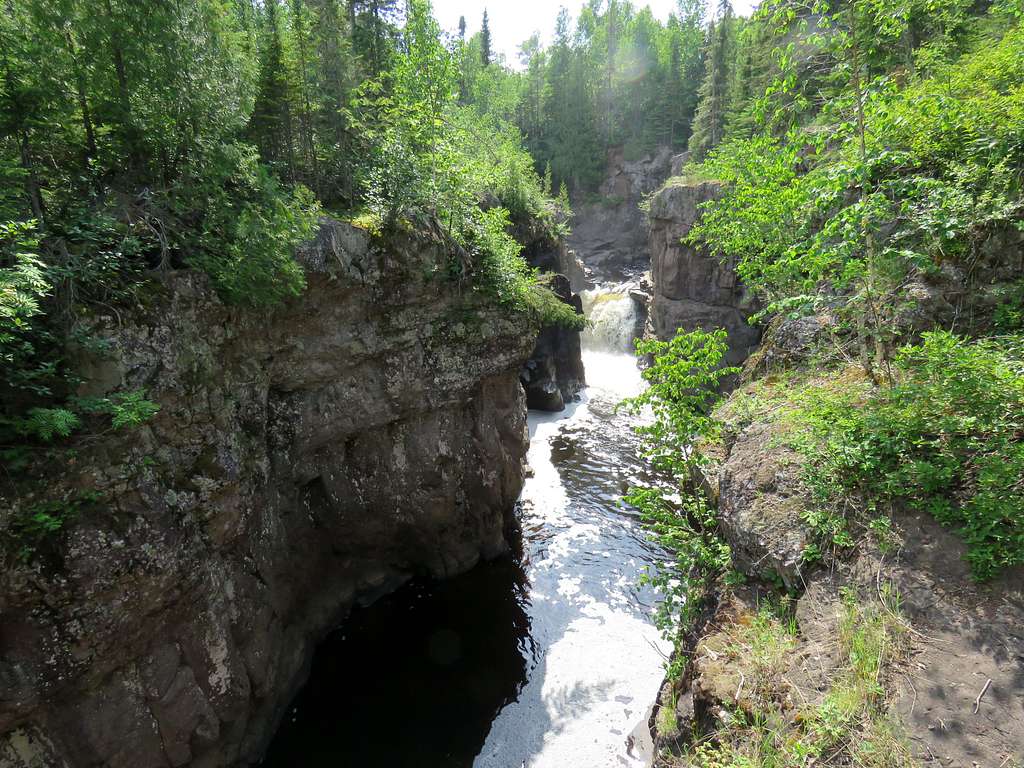
It was getting close to 4:00 and I wanted to reach Mary at the promised time but the river was spectacular. I kept stopping to take pictures.
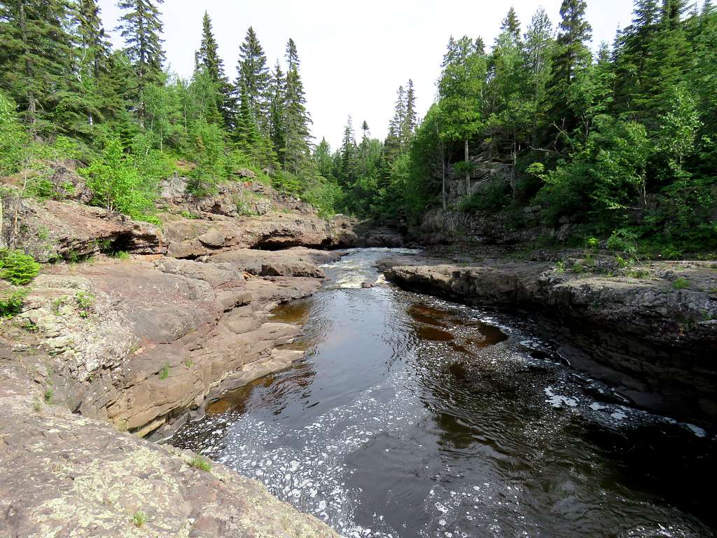
A big canyon appeared.
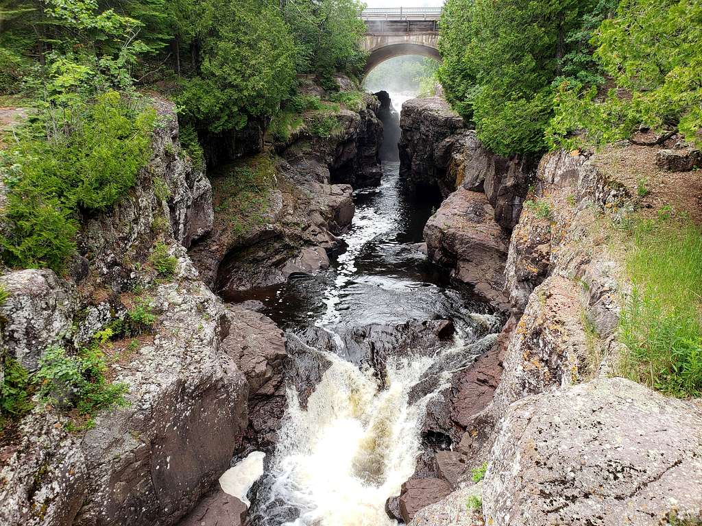
I reached Temperance River Trailhead at 4:10 p.m. where Mary was waiting for me. We went to the south side of Route 61 where we got good views of the bridge and where the river emptied into Lake Superior.