|
|
Route |
|---|---|
|
|
38.26370°N / 111.2158°W |
|
|
Hiking |
|
|
Spring, Summer, Fall, Winter |
|
|
Half a day |
|
|
Hike |
|
|
Overview
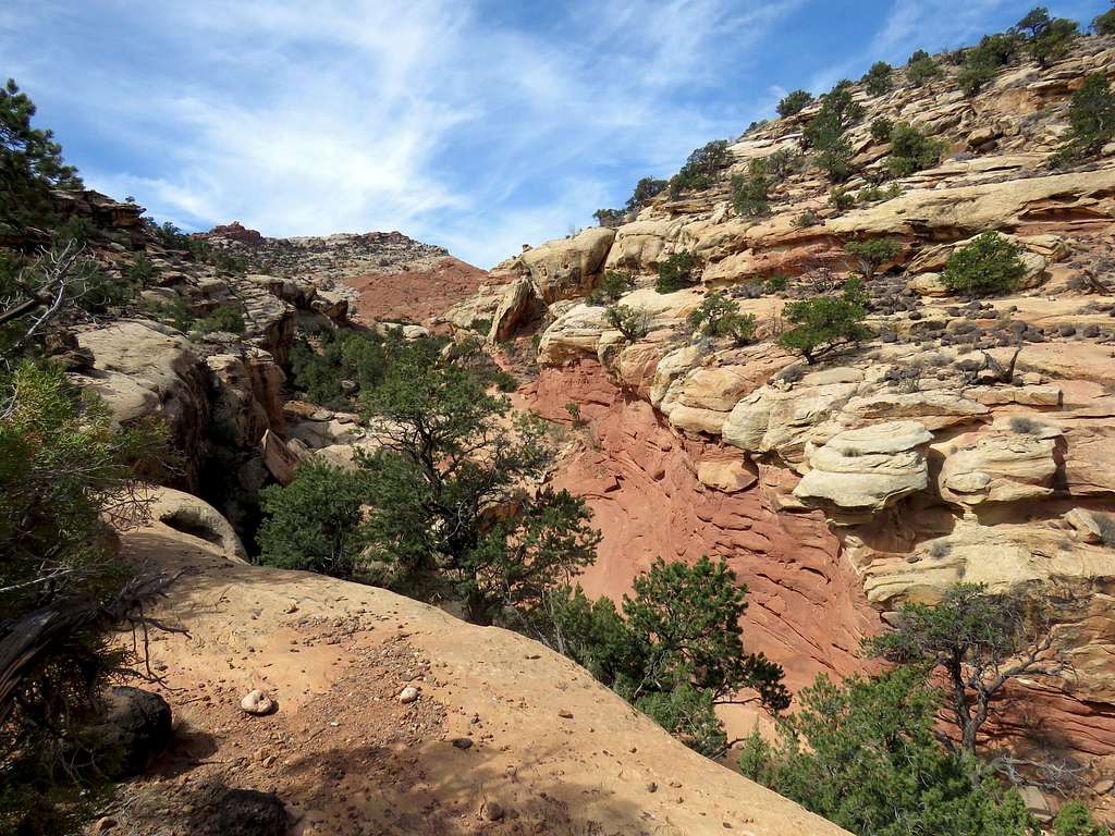
Cassidy Arch Trail is a popular hike in central Utah’s Capitol Reef National Park. The trail takes you up 600 vertical feet to a slickrock bench at the edge of a big drop off where the arch sits. Frying Pan Trail branches off of Cassidy Arch Trail and goes to a high point with spectacular views of the surrounding slickrock mountains and canyons. It then descends 800 vertical feet into the colorful Frying Pan Canyon, goes back up a short distance and descends again to reach Cohab Canyon Trail where east will get you to Hickman Bridge Trailhead on Route 24 and west to park campground.
Cassidy Arch and Frying Pan Trails can be combined with Grand wash and Cohab Canyon Trails to create a beautiful 8.5 mile one way hike.
Getting There
Directions to Cassidy Arch/Grand Wash Trailhead:
From visitor center, drive 3.6 miles south on Scenic Drive and turn left onto the well graded dirt road. Continue 1.25 miles to the end of the road.
Blue line shows Cassidy Arch Trail and yellow line Frying Pan Trail. Open in Caltopo, click on lines to see hike profiles.
Cassidy Arch Trail
Cassidy Arch Trail is 1.6 miles long
From the trailhead, hike 1200 ft into Grand Wash Canyon and look for the sign for Cassidy Trail on the left. Follow this trail going up the walls of the canyon.
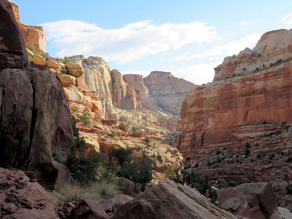
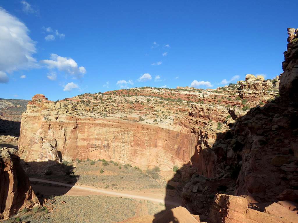
Views of the dirt road and Ferns Nipple.
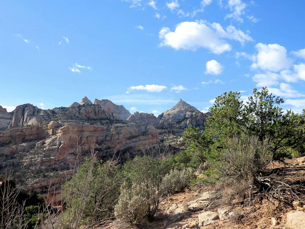
First view of Cassidy Arch.
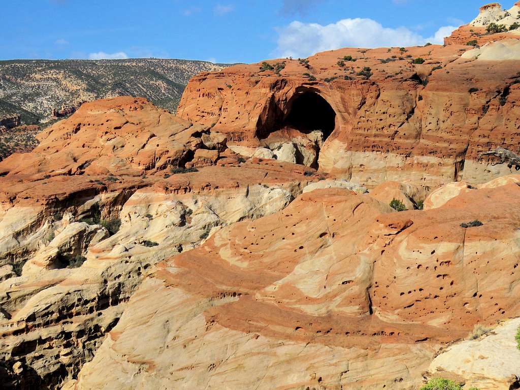
A nearby canyon.
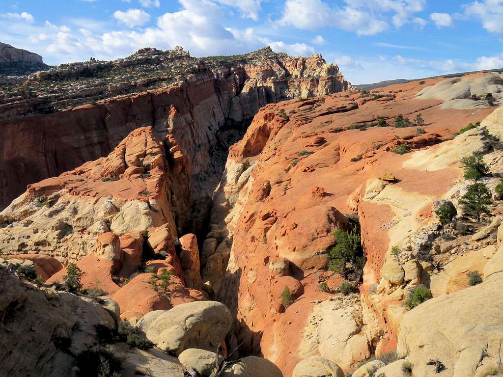
You will then reach the signed junction with Frying Pan Trail. Turn left and continue on Cassidy Arch Trail to reach the arch.
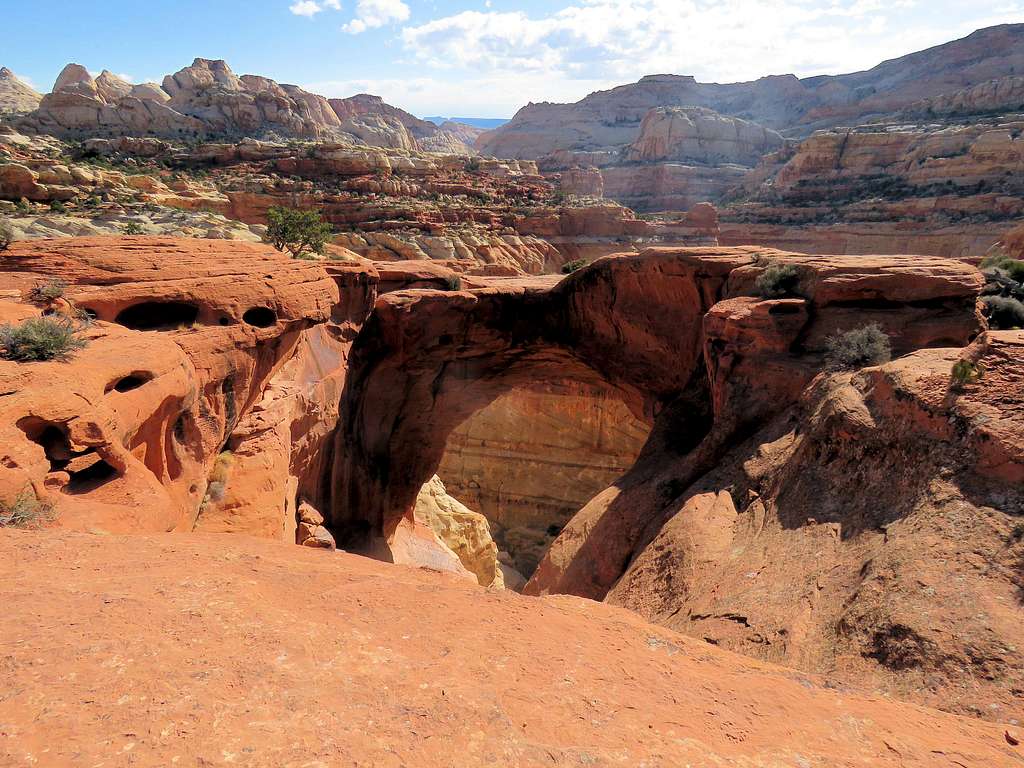
Other views near the arch.
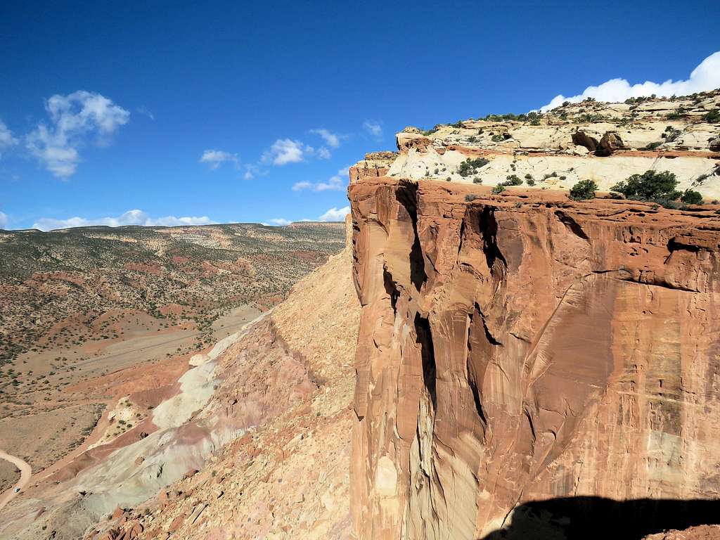
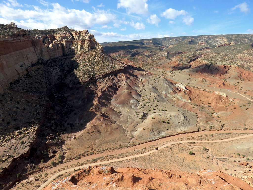
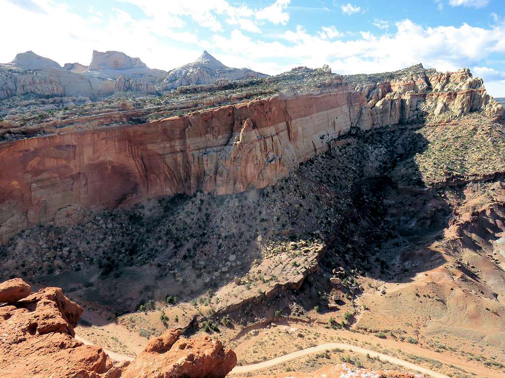
Frying Pan Trail
Frying Pan Trail is 2.75 miles long
Returning to the junction with Frying Pan Trail follow the trail uphill to a high point at 6460 ft where you will get spectacular views of the slickrock mountains to the north.
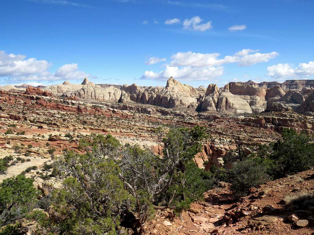
The trail then descends 800 vertical feet to reach the bottom of Frying Pan Canyon.
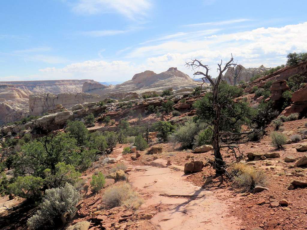
Looking back toward the high point (the trail did not go to the top of this hill, only the base of it).
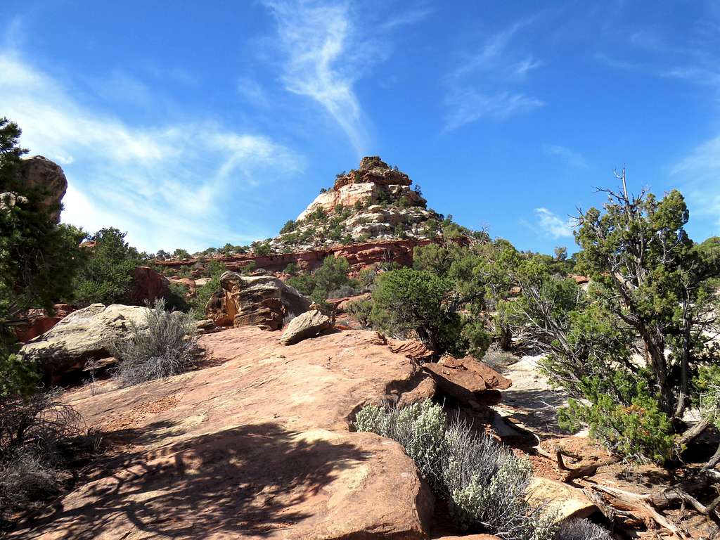
Into the Frying Pan Canyon.
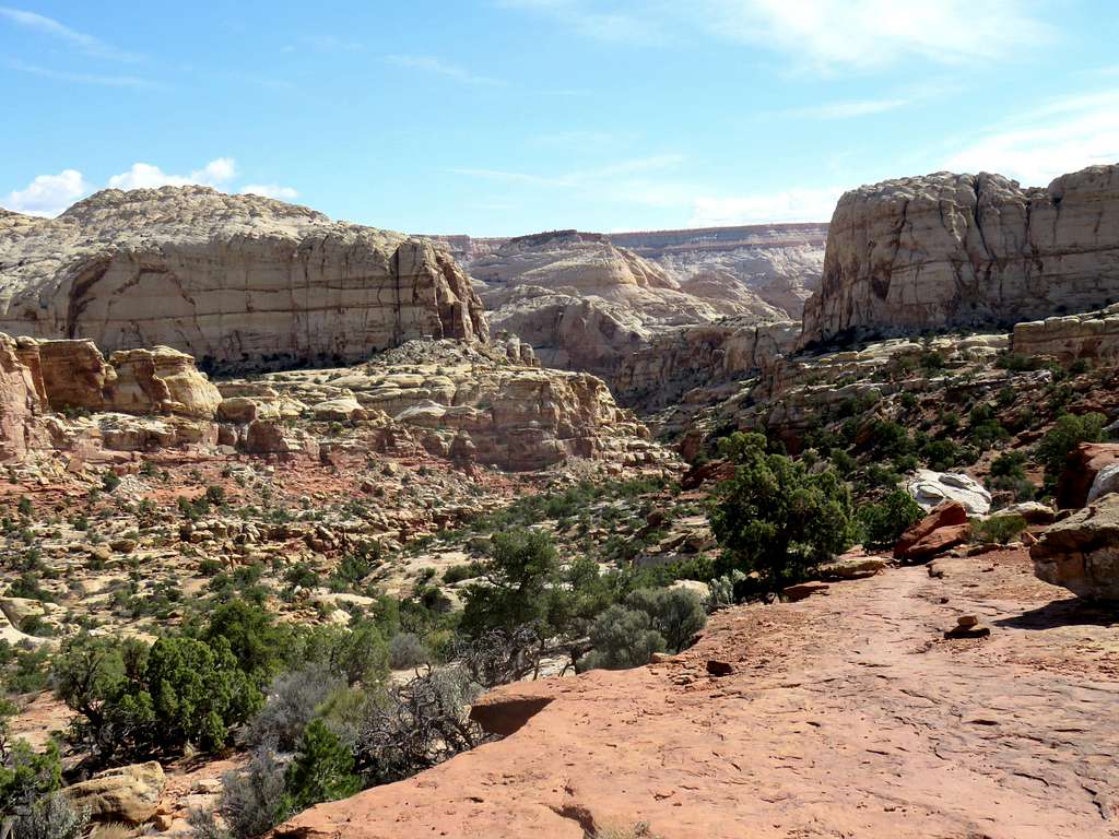
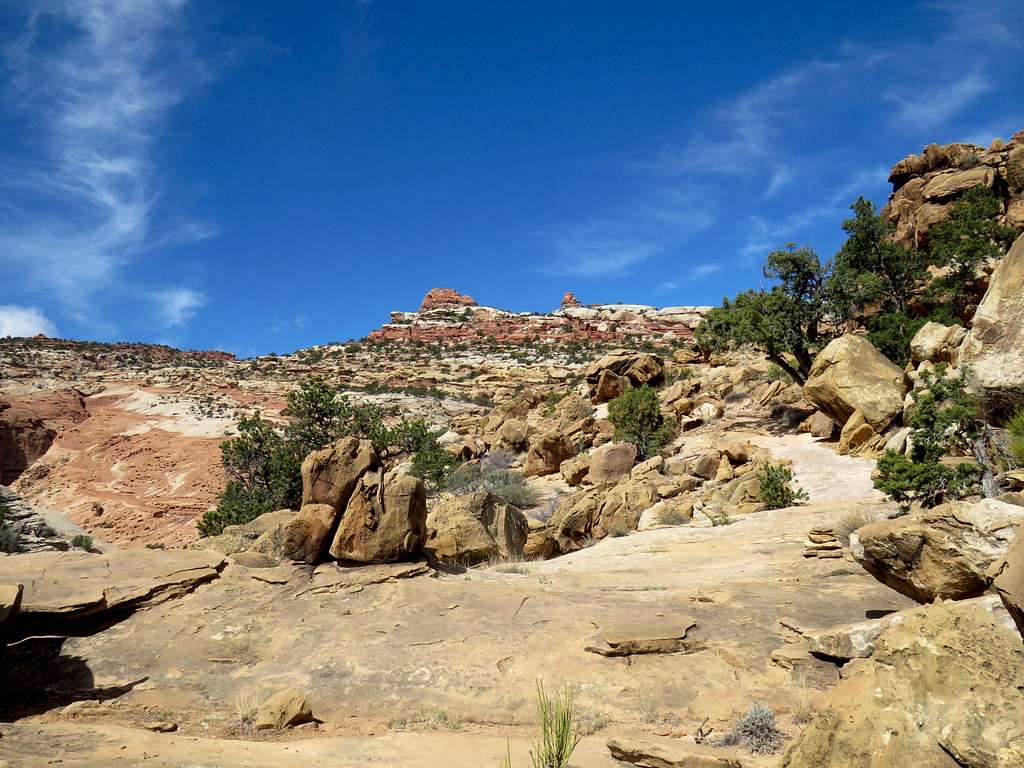
The trail crosses the bottom of the canyon and begins to go up the other side. View of Frying Pan Canyon.
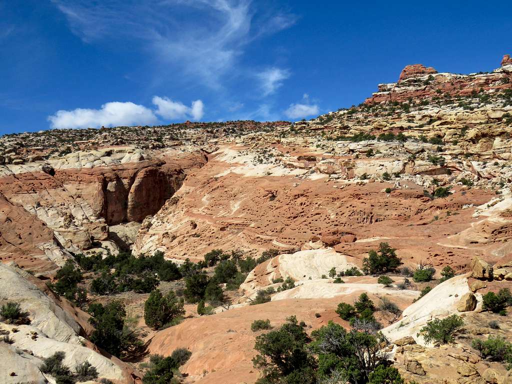
Continuing up.
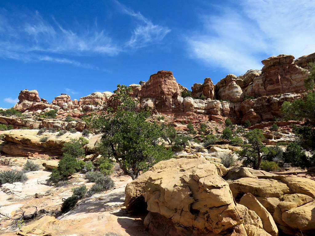
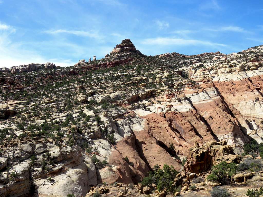
You will then reach a second high point at 5950 ft. Views from top.
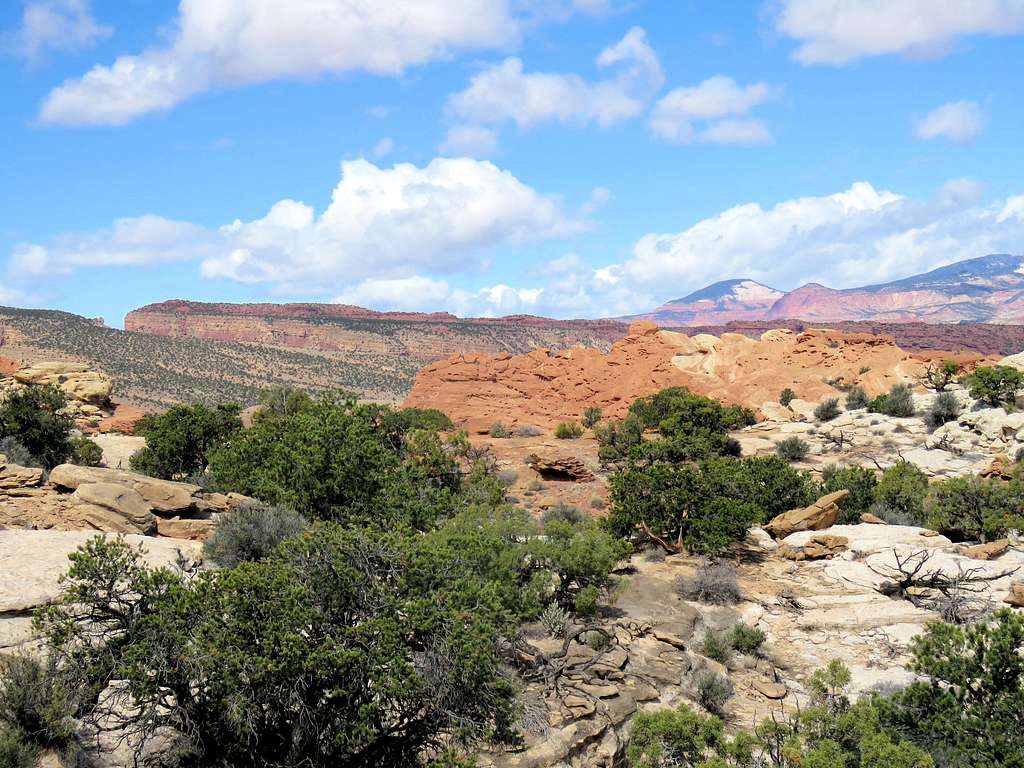
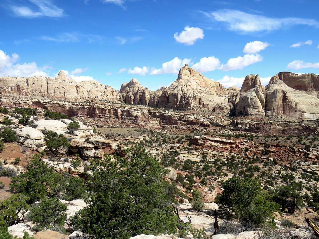
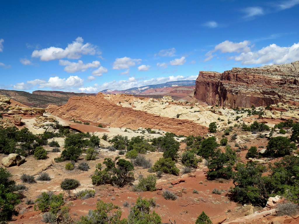
The trail then descends into Cohab Canyon. Once in the canyon, you can go east to reach Hickman Bridge Trailhead on Route 24 or west to park campground.
