This path takes you from Route 9, near the eastern entrance into Zion National Park, to the East Fork of Virgin River at the bottom of Parunuweap Canyon. It is used as an escape route by those who go on backpacking trips into Parunuweap Canyon.
From Route 9, I entered a narrow slickrock canyon at the base of Checkerboard Mesa and followed it to a high point at the south end of the canyon. I then descended on the south side of the high point where the canyon opened into beautiful slickrock country with spectacular views. The path headed southeast until it began to descend into Parunuweap Canyon. I had read that reaching the river required going down steep exposed slickrock slopes. Since I was alone, I did not want to risk going down potentially problematic slopes. I ended my hike at the first sign of difficulties at a spot 300 vertical feet above the river where I had good views of the river at the bottom of the canyon.
Hike Statistics
Elevation at starting point: 5570 ft
High point elevation: 6020 ft
Lowest elevation reached on this hike: 4860 ft
Roundtrip hiking distance: 9.1 miles
Trip Report
Wednesday November 27, 2019
Left the vacation rental house to the west of Hurricane, UT at 6:30 a.m. when it was still dark. Got gas and drove to Zion National Park going on Route 9. There was no official trailhead or even signs for the hike that I wanted to do. I had looked at satellite photos and found a roadside pullover near the northern mouth of Checkerboard Mesa Canyon where I parked. Started my hike at 7:40 a.m. It was 33 degrees F and the forecast called for mostly cloudy skies with rain/snow in the evening hours. Did not see any other people until the end of the day when I was back close to the car.
Checkerboard Canyon from Route 9Mouth of Checkerboard Canyon
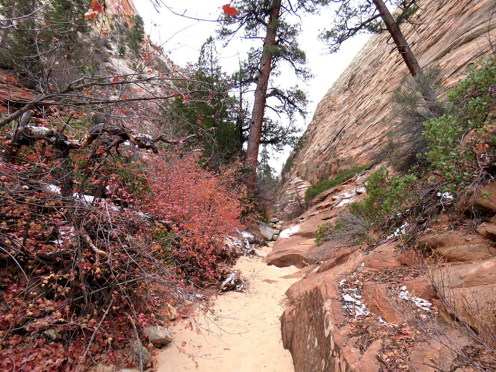
Hiked 450 feet east along Route 9 and entered Checkerboard Mesa Canyon heading south. A tight canyon soon formed.
Checkerboard Canyon
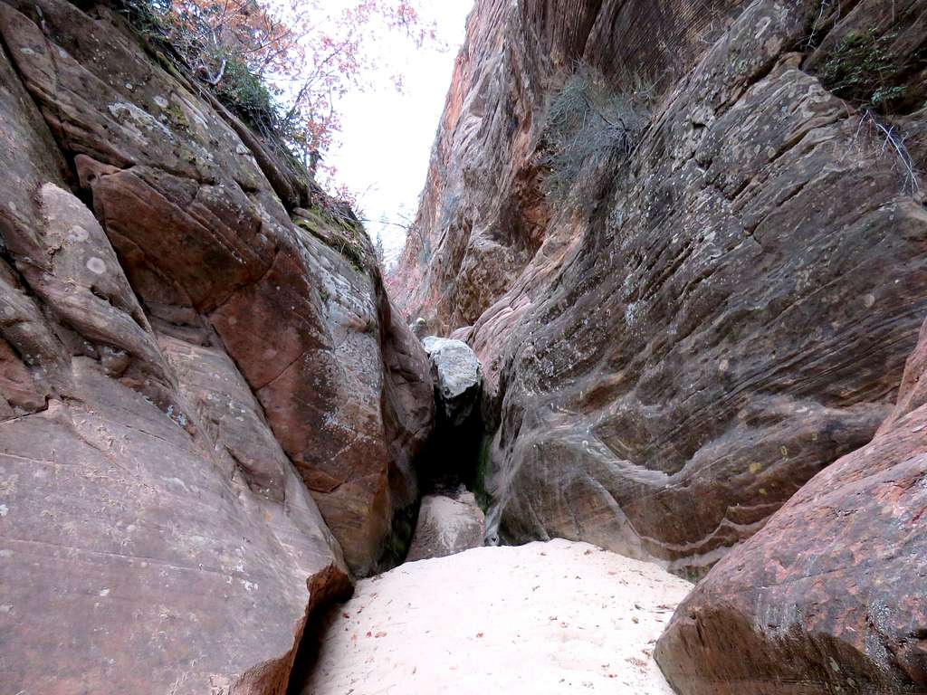
Very quickly I reached a chockstone that blocked the way but I went back north and found an easy bypass on the east side of the canyon.
Chokestone
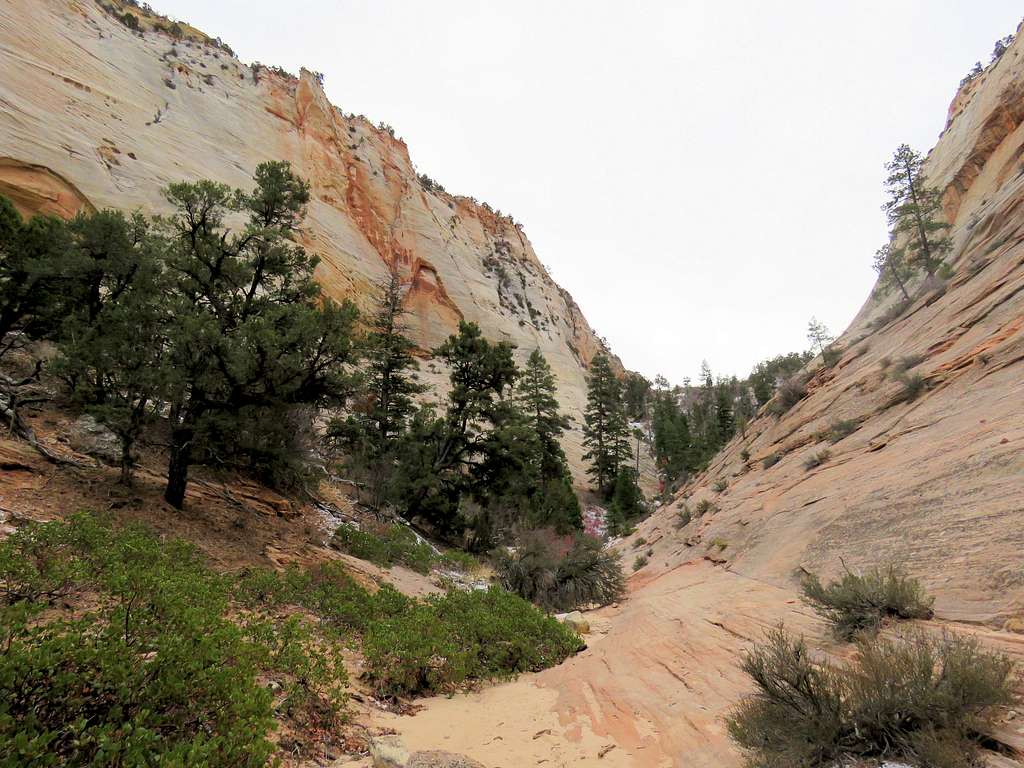
As I continued, the canyon opened up.
Upper parts of the canyonUpper parts of the canyon
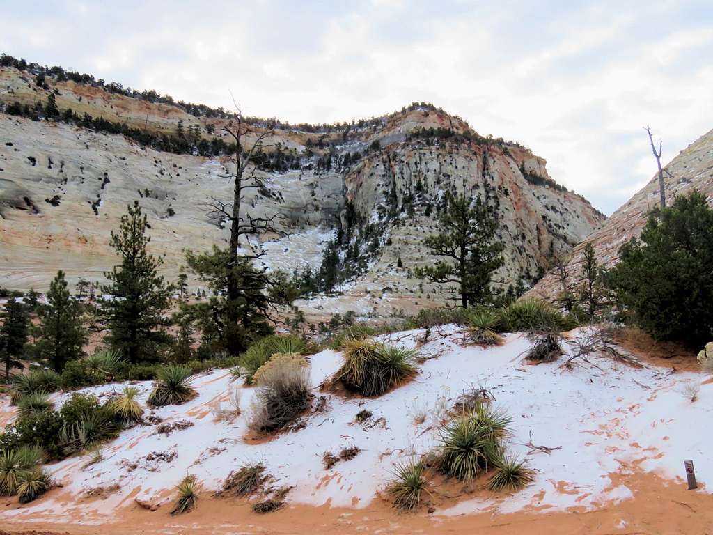
I then reached a sandy hill covered with snow and a dense growth of bushes (which were bare at that time of the year). A well defined trail went some 150 vertical feet up the hill through the bushes to reach a high point. Looking back north at the Checkerboard Canyon.
Checkerboard Canyon from the high point, looking north
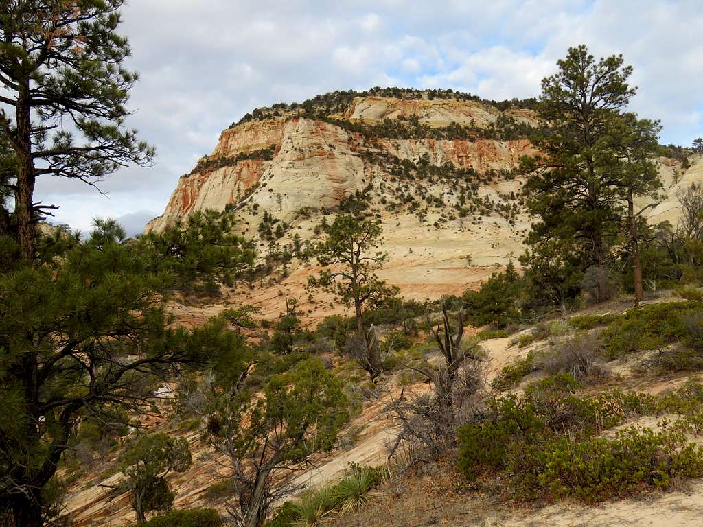
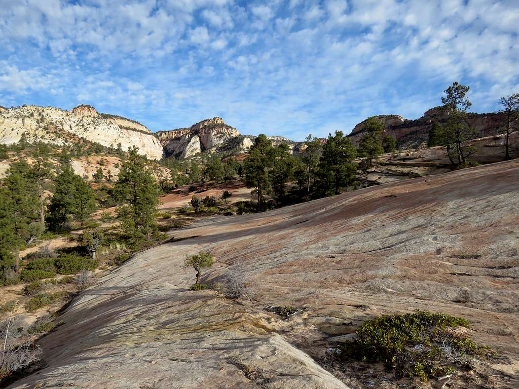
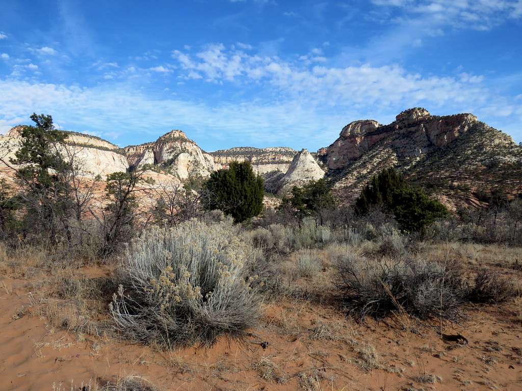
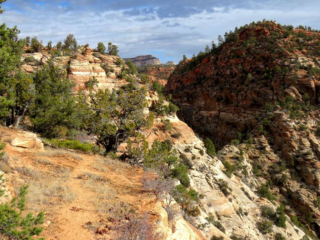
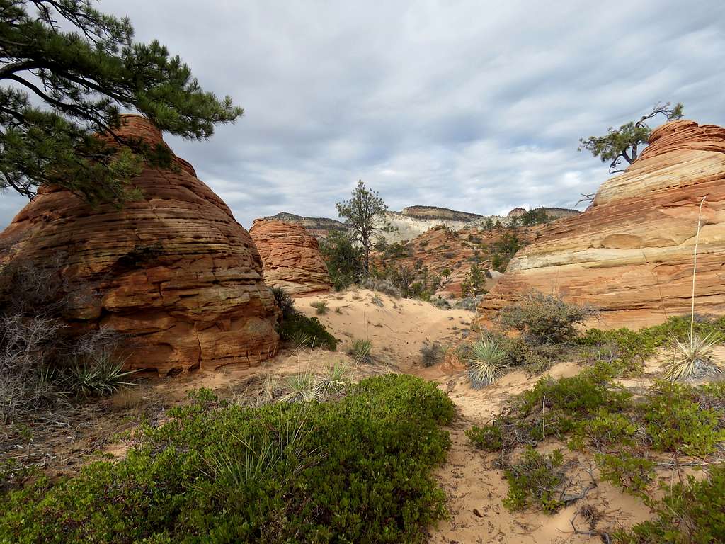
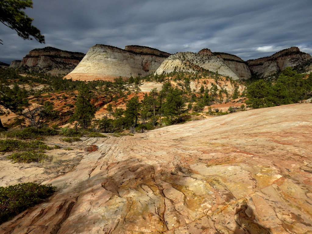
On the south side of the high point, the path went downhill until it reached beautiful open slickrock country. Cairns were few and far in between there but I had entered the correct path as shown on Caltopo site into my GPS which took me southeast away from the mouth of the canyon. Looking back at the mouth of the canyon.
Looking back at canyon opening
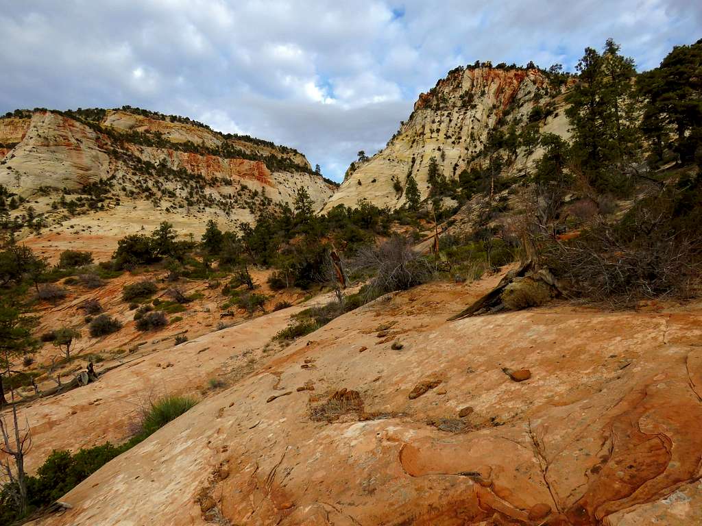
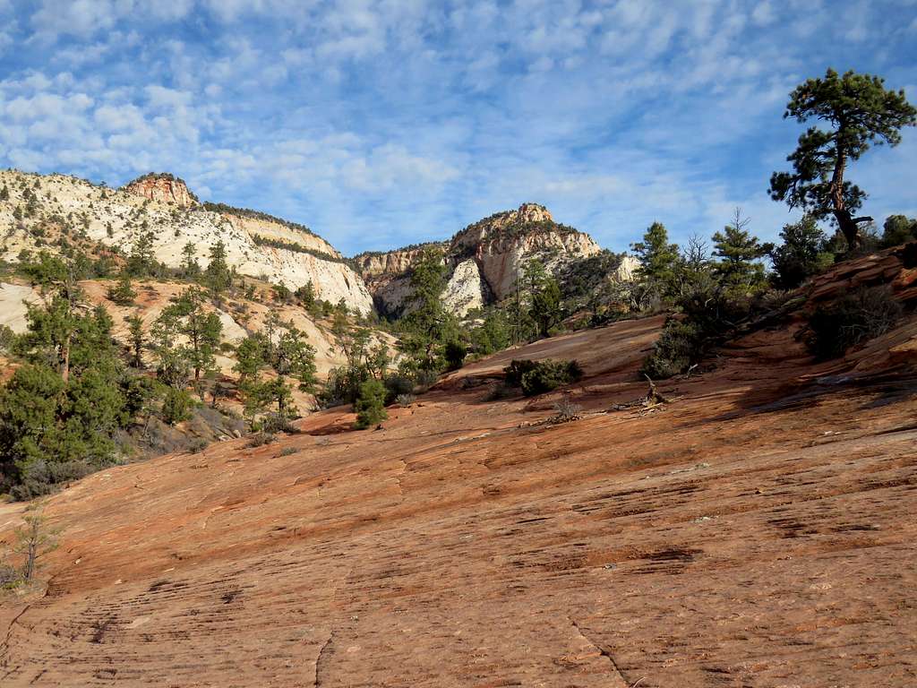
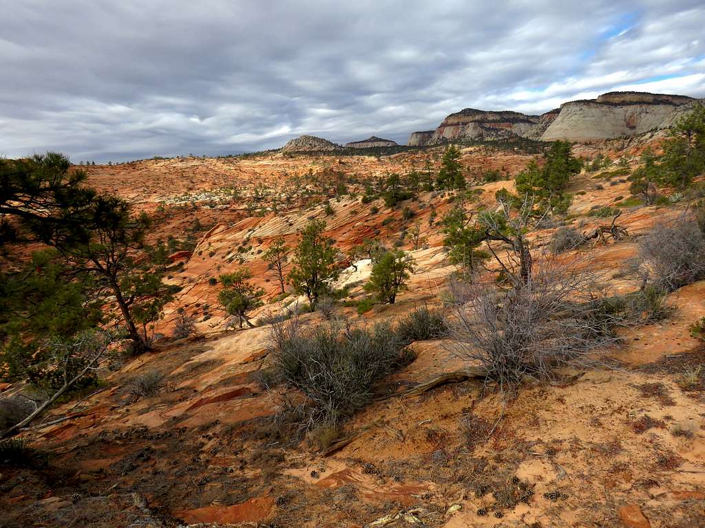
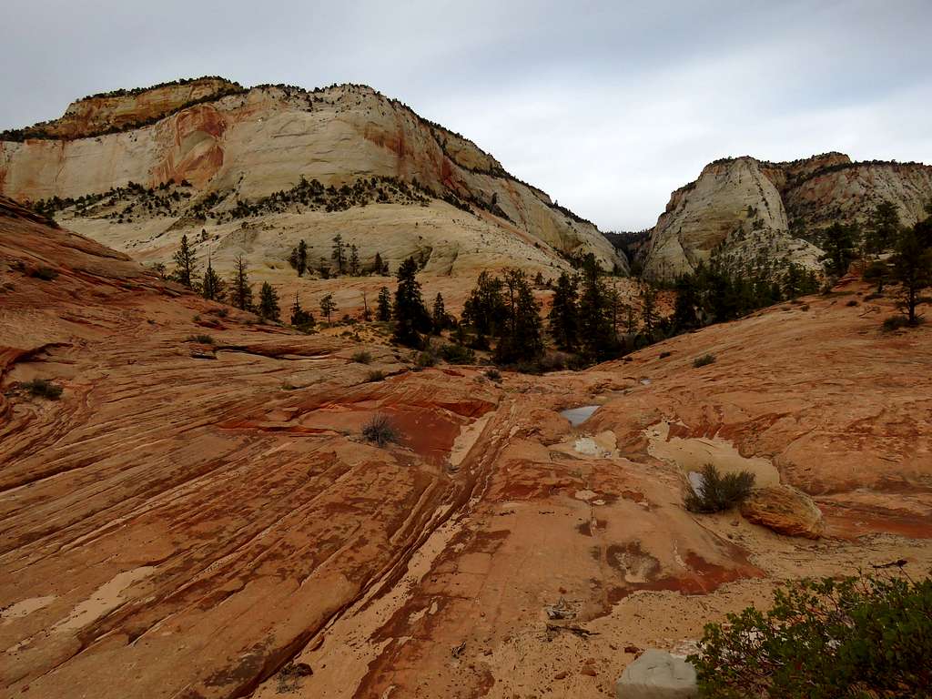
I was so glad to be alone in that beautiful area among the colorful slickrock mountains and the conifer trees.
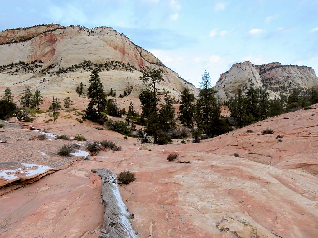
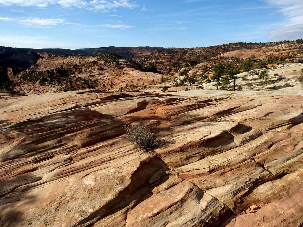
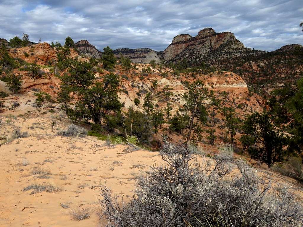
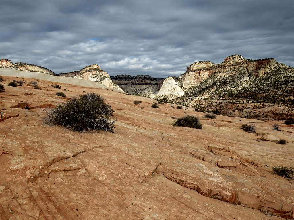
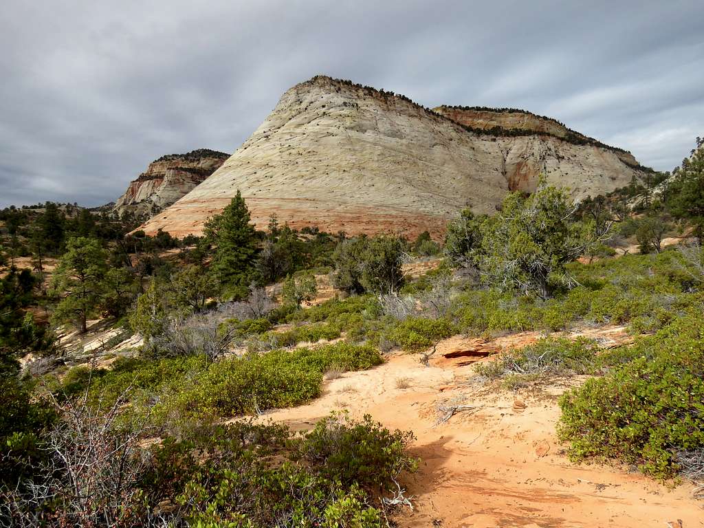
Slickrock countrySlickrock countrySlickrock countrySlickrock countrySlickrock countrySlickrock countrySlickrock country
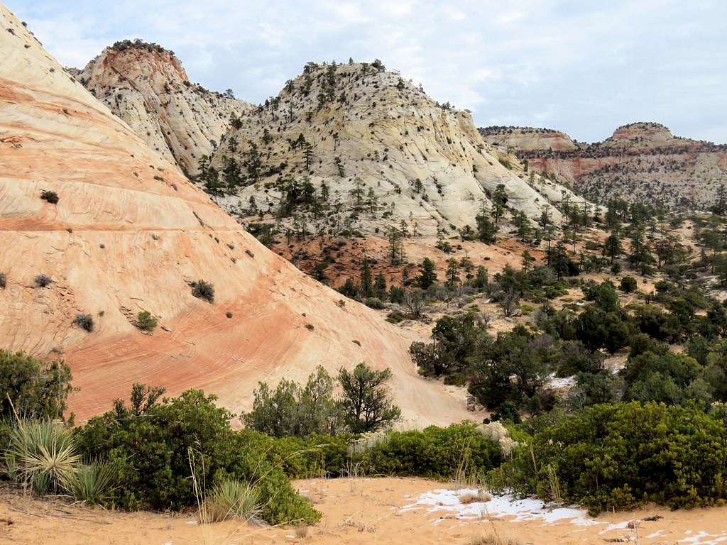
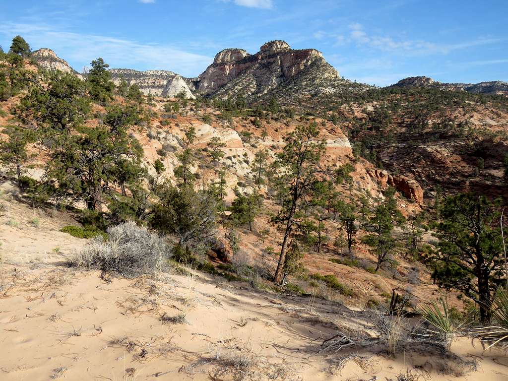
Colorful slickrock.
Slickrock country
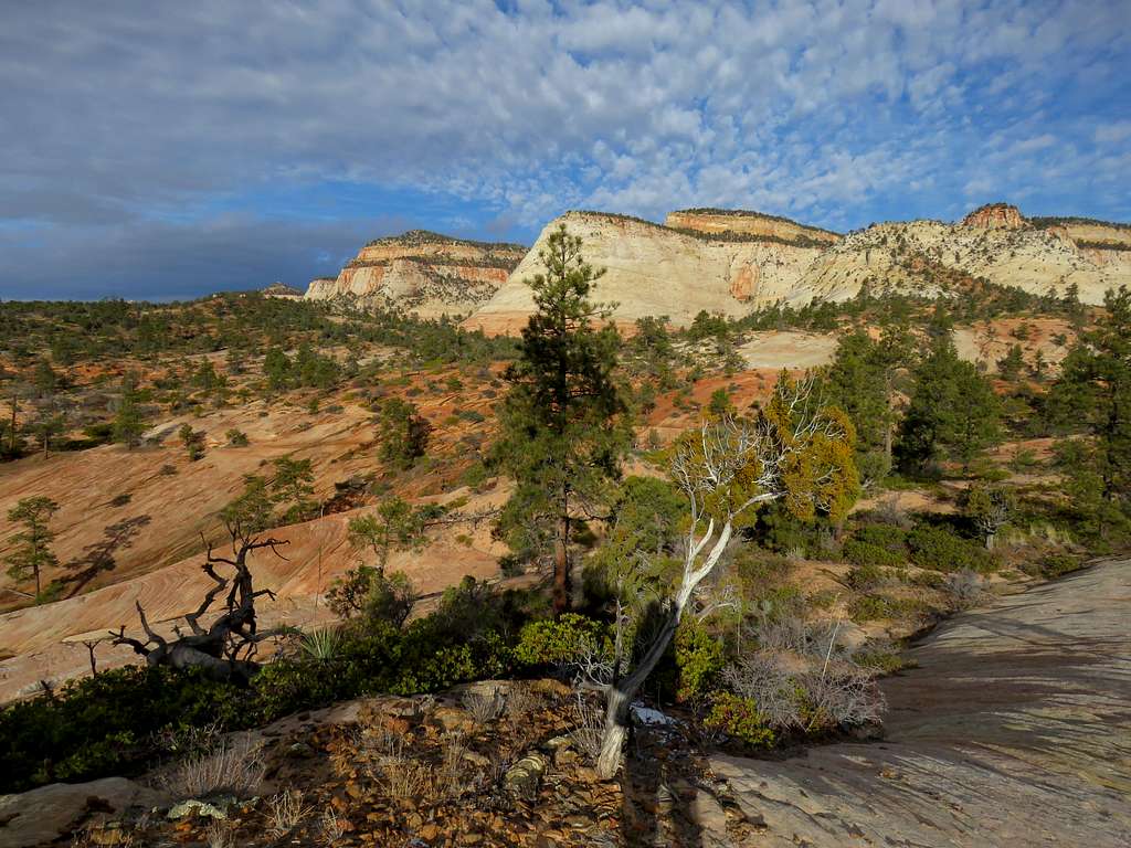
More slickrock mountains.
Slickrock countrySlickrock country
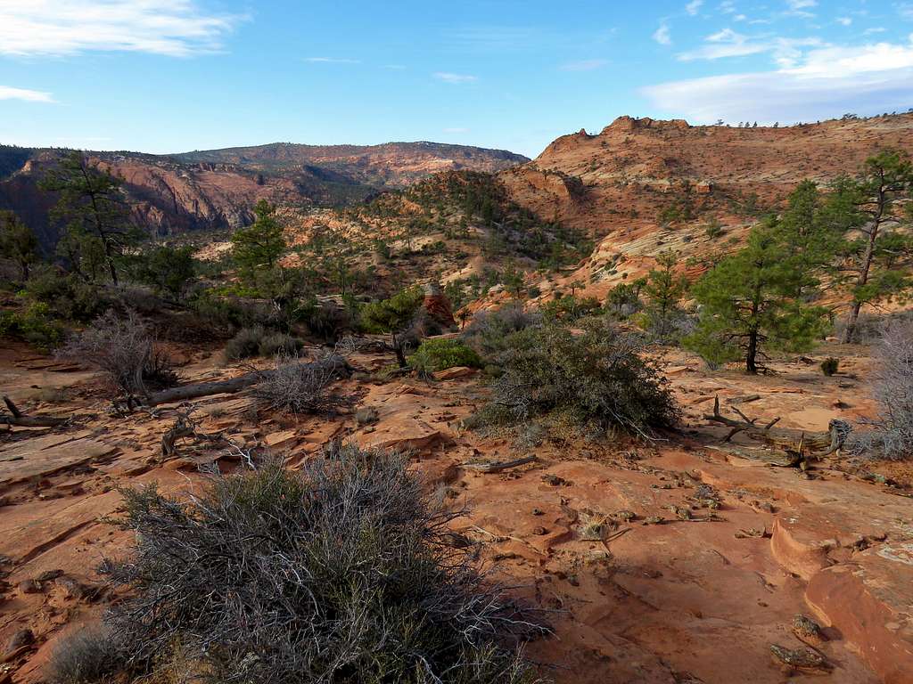
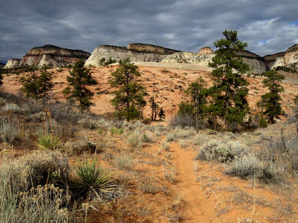
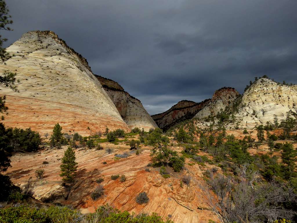
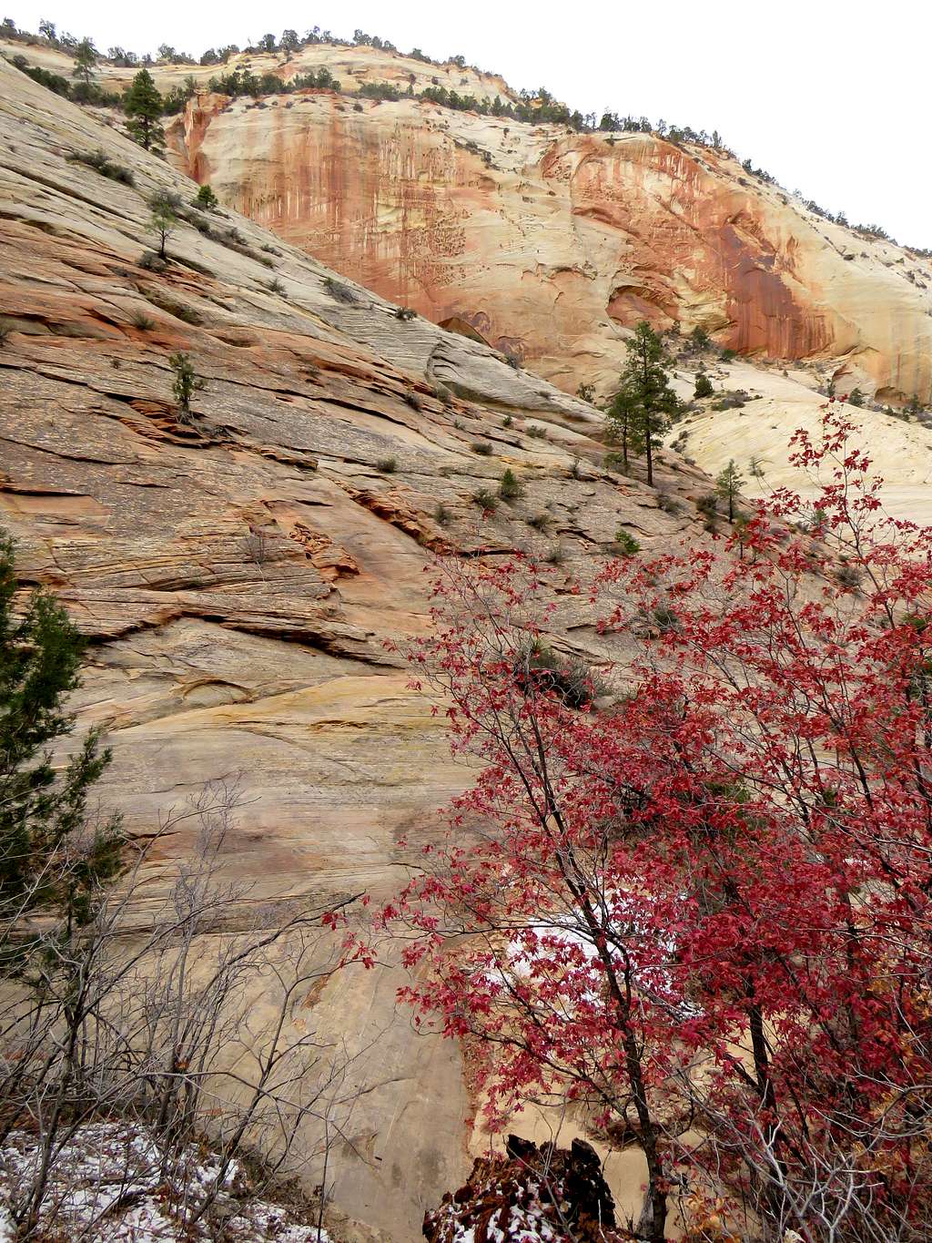
Everything red.
Red slickrock country
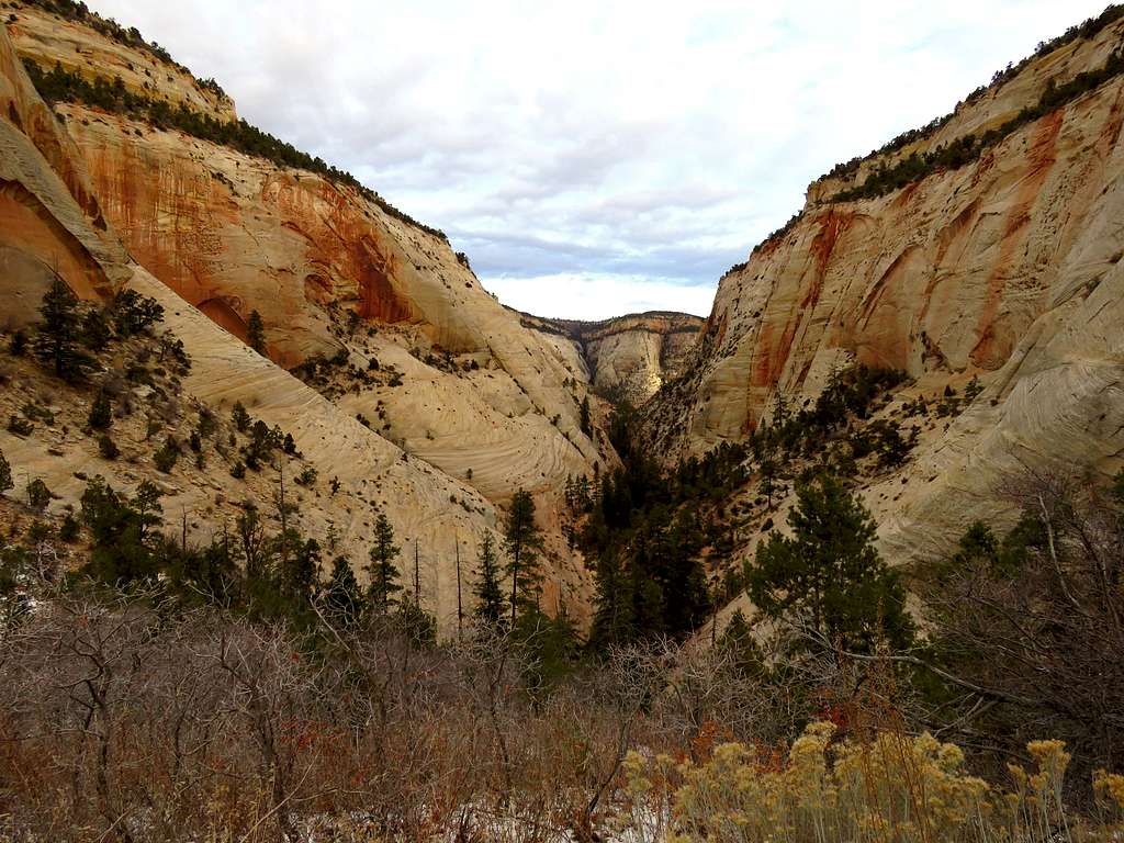
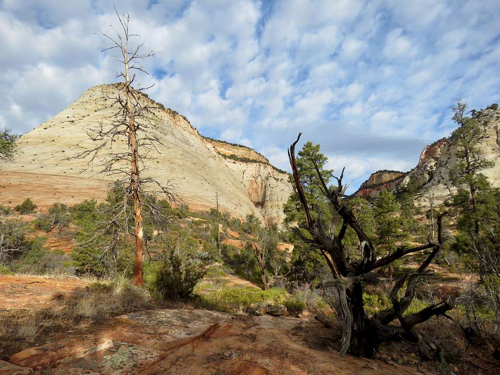
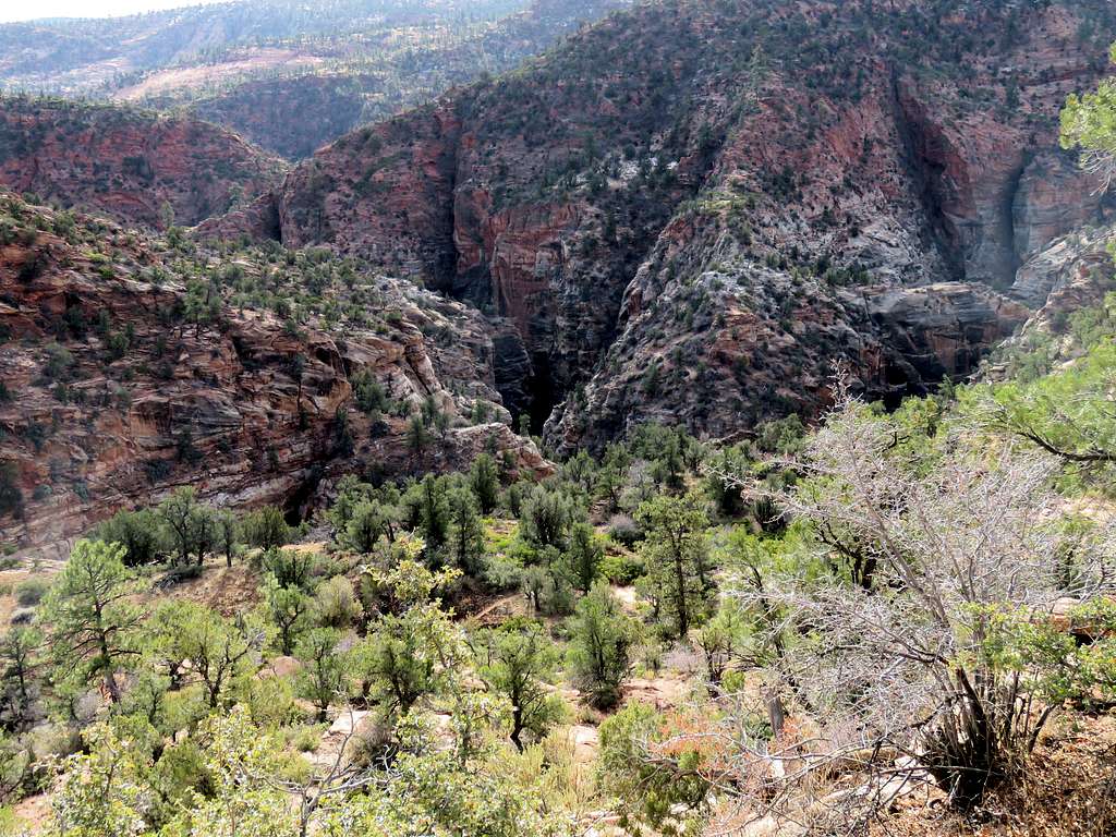
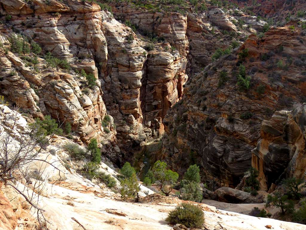
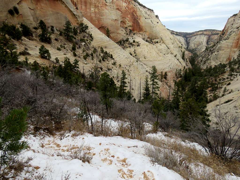
Parunuweap Canyon finally came to view. I was at that point seeing a lot of cairns identifying the correct path.
Parunuweap Canyon
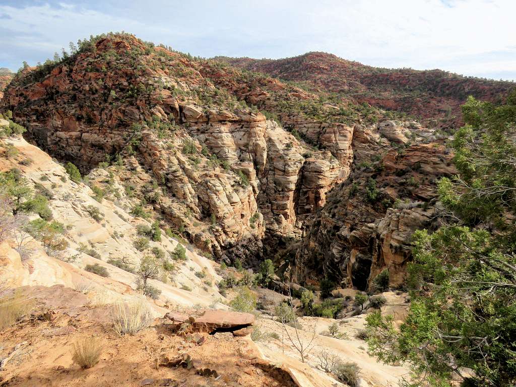
As I went lower, I reached the top of a 4 or 5 ft tall step with sloped and somewhat exposed slickrock at the base of it. I could have gone down it but from what I had read, I was expecting to encounter even more difficult spots further down. Did not want to risk it since I was all alone so decided to end the hike at that spot. It was 10:25 a.m., 4860 ft and I had hiked 4.6 miles per my GPS. A bend of the river was visible at the bottom of the canyon 300 feet below.
Virgin River at the bottom of Parunuweap Canyon
Had my sandwich, enjoyed the view and began walking back up at 10:50 a.m. another look into the canyon.
Parunuweap Canyon
Farther up.
Parunuweap Canyon
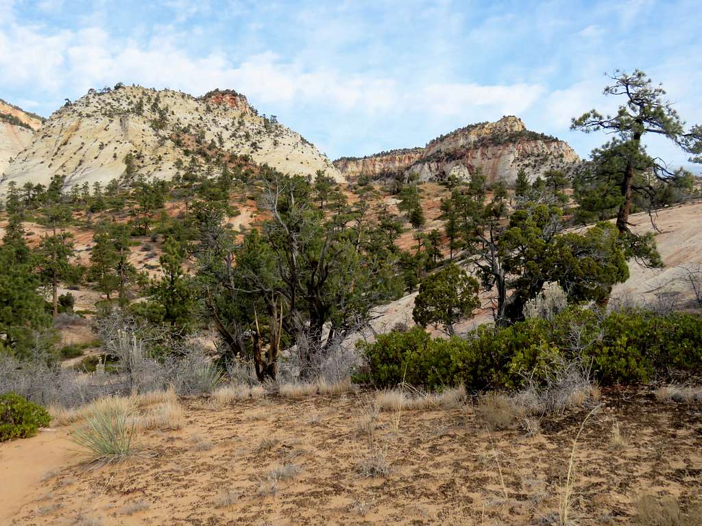
The same beautiful sights again in different light.
Slickrock countrySlickrock countrySlickrock countrySlickrock countrySlickrock countrySlickrock countrySlickrock country
Went back into the canyon to the top of the sandy high point. Descending on the snowy north side into Checkerboard Mesa Canyon.
Checkerboard Canyon from the high point
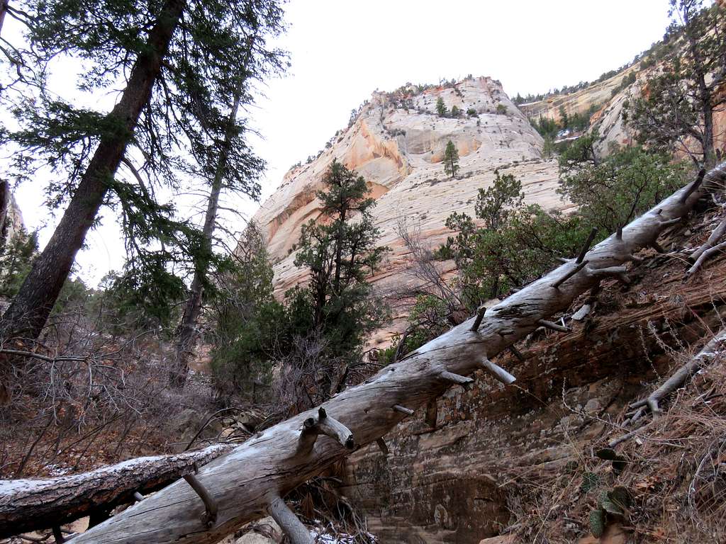
Further into the canyon, I ran into a large group of seemingly related people with a few young children. Found a path on the east side of the canyon that took me up avoiding the fallen trees and other obstacles at the bottom of the canyon. Another view of the canyon.
Checkerboard canyon
The path then came down to the bottom of the canyon. I exited the canyon and reached where I had parked on Route 9 at 1:27 p.m. It was 41 degrees F. Looking back into the canyon.
Parents refers to a larger category under which an object falls. For example, theAconcagua mountain page has the 'Aconcagua Group' and the 'Seven Summits' asparents and is a parent itself to many routes, photos, and Trip Reports.


Comments
Post a Comment