|
|
Mountain/Rock |
|---|---|
|
|
46.89723°N / 121.51015°W |
|
|
Pierce, Yakima |
|
|
Hiking, Mountaineering, Scrambling |
|
|
Summer, Fall |
|
|
6904 ft / 2104 m |
|
|
Overview
Looking for another awesome summit with amazing 360 degree views that don’t take you the whole day to complete? Want to climb an obscure mountain that is taller than the popular Mount Si yet takes less effort? Within the Chinook Pass and Crystal Mountain area there are many of these types of summit. However out of all the mountains in this area I have been to I think Chinook Peak clearly takes the cake for views.
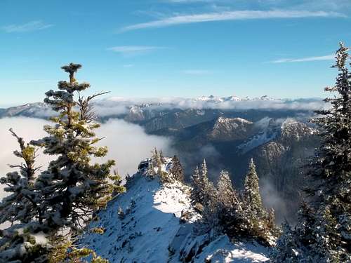
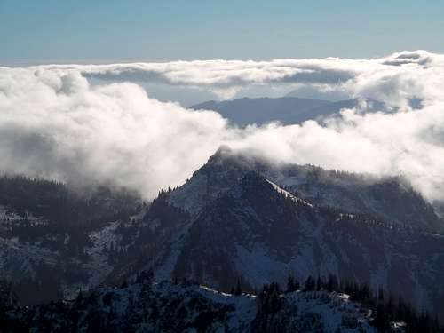
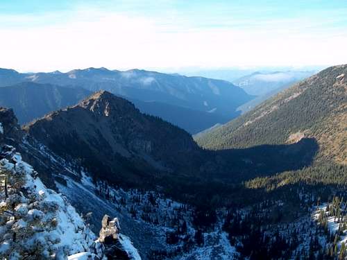
Chinook Peak is the tallest peak in its sub region of Chinook Pass south of Crystal Mountain. This little known summit is a very worthy destination for experienced off trail hikers and summit baggers. From the rocky summit of Chinook excellent views of surrounding areas including that of the majestic Mount Rainier, Mount Aix, Mount Adams, Goat Peaks Wilderness, and even distant Mount Stuart.
The Routes up Chinook Peak
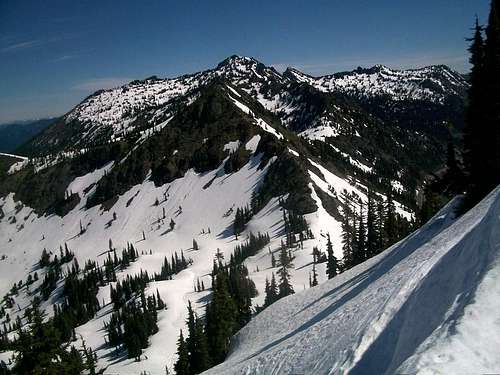
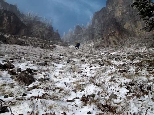
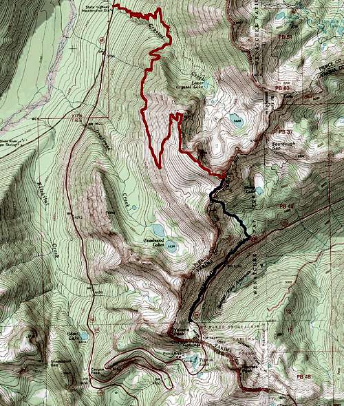
There are two ways to get up to the summit of Chinook Peak. The first way from is from the high starting point just east of Chinook Pass. At 5300 feet the parking lot picks up the Pacific Crest Trail. From there you take the Pacific Crest Trail roughly 1 ½ miles until you run into a boot path on your left side that is can also be known on the right by a large boulder. If you miss you will know because 15 minutes later you will run into Sheep Lake. Try to go back because this is clearly the easiest way up Chinook Peak. Take the on and off boot path up the bowl to the ridgeline. If you follow this section closely you will end it off with a very manageable ramp and well established boot all the way to the ridge. Once on the ridgeline you will see towering Chinook Peak to the north of you. Head up the fields all the way until you reach another boot path from Crystal Peak and take the faint boot path all the way to the summit. If you are to follow the route correctly this whole trip will only be an off trail walkup. Total Distance and Elevation Gain 5 miles, 1800 feet of elevation gain.
The other way is from Crystal Peak Trail this way is by far longer but you will also be able to bag Crystal Peak in the process. At 11 miles and 3800 feet of elevation gain getting to this peak is going to take probably the day to get to. Still though getting up to the summit of Crystal Peak is basically a trail and to go higher to the summit of Chinook Peak is fairly gradual and in places a boot path. You also get a different prospective from this area. Though it is longer is actual is just as popular from this way as from the other way.
Getting There
VIA CHINOOK PASS: The trailhead to to Yakima Peak is located on Highway 410 roughly a fifth of a mile east of Chinook Pass. Park on in the parking area on the northern lot towards the ridgeline in the obvious parking area that also has bathroom facilities for guests.VIA CRYSTAL PEAK TRAIL: The Crystal Peak Trailhead is located on 410 roughly 2 miles north of White River Campground and Sunrise Road Entrance and 4 miles from the northern border of the park. It is marked by an obvious pull out area and is usually busy during the summer.
Red Tape
Trailhead requires a Northwest Forest Pass if you are using it for more than 30 minutes. $5 per day and $30 for the year.Camping
If using the Pacific Crest Trail as the approach trail to the peak, this section is located in the National Forest Service area (not Mount Rainier National Park camping is plentiful). Camping spots here below Chinook Peak are plentiful however you can't camping within 100 feet of any lake including Sheep Lake at the eastern base of Chinook Peak.You will be on National Park land if going up from the Crystal Peak Trail. Backcountry Permit Required for Camping while in Mount Rainier National Park. For more information please click here


