
|
|
Area/Range |
|---|---|
|
|
32.00724°N / 109.31219°W |
|
|
Hiking |
|
|
Overview
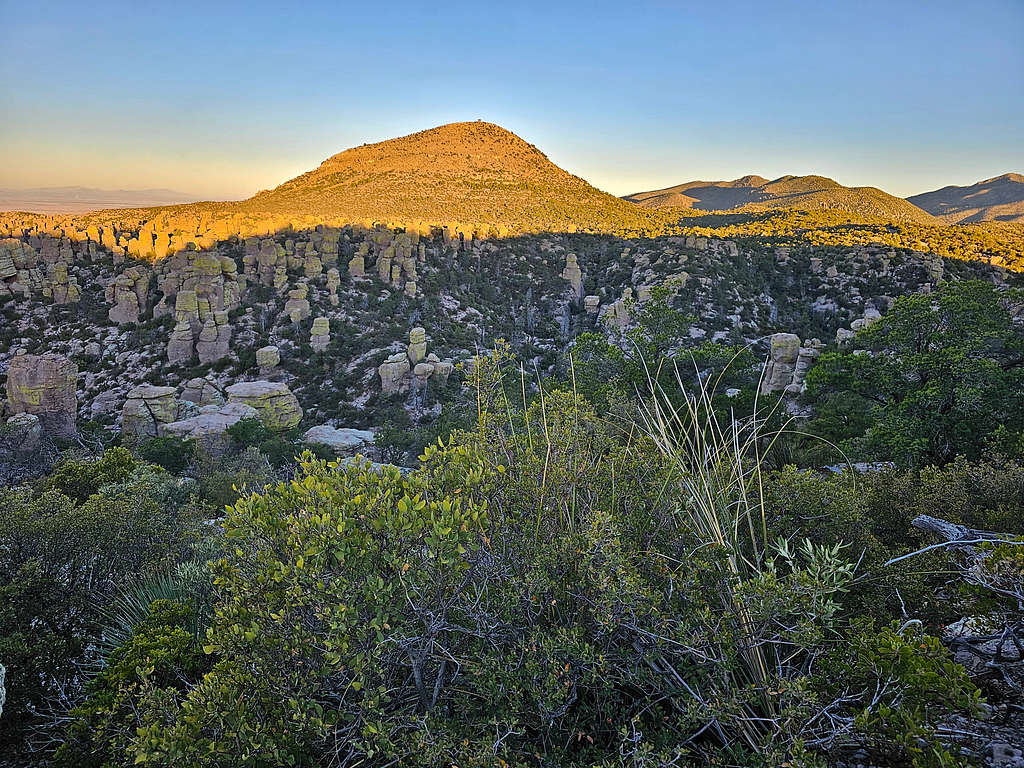
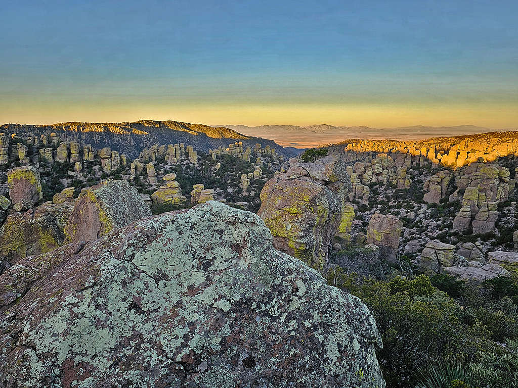
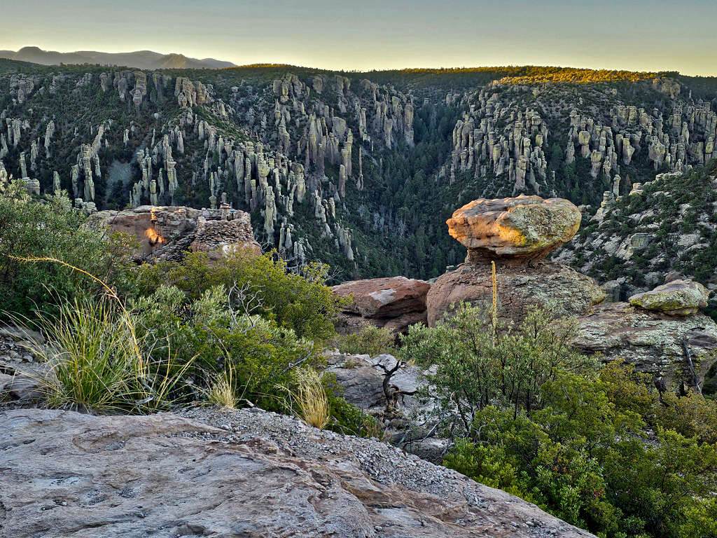
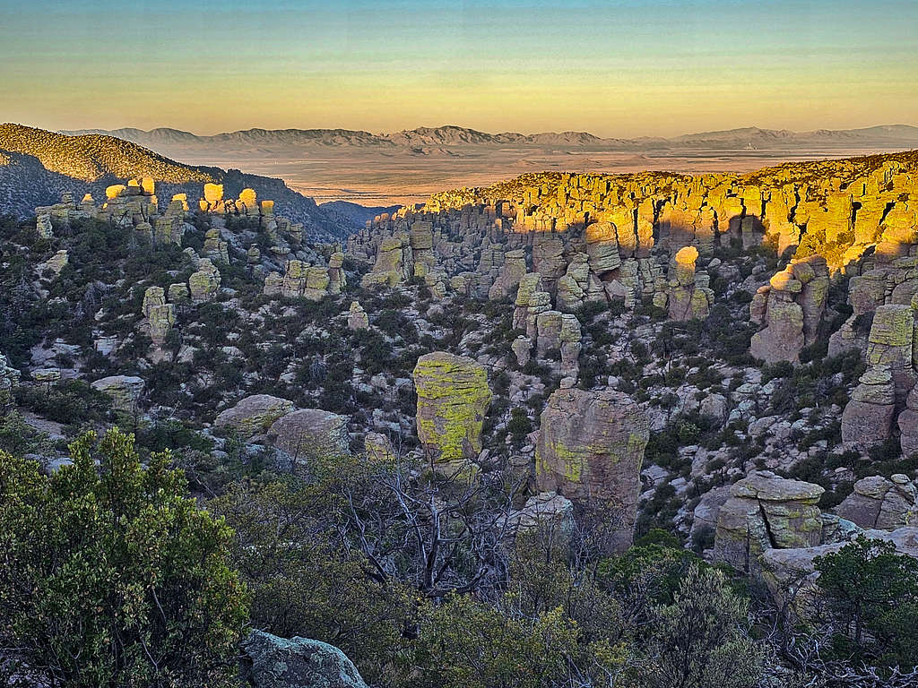
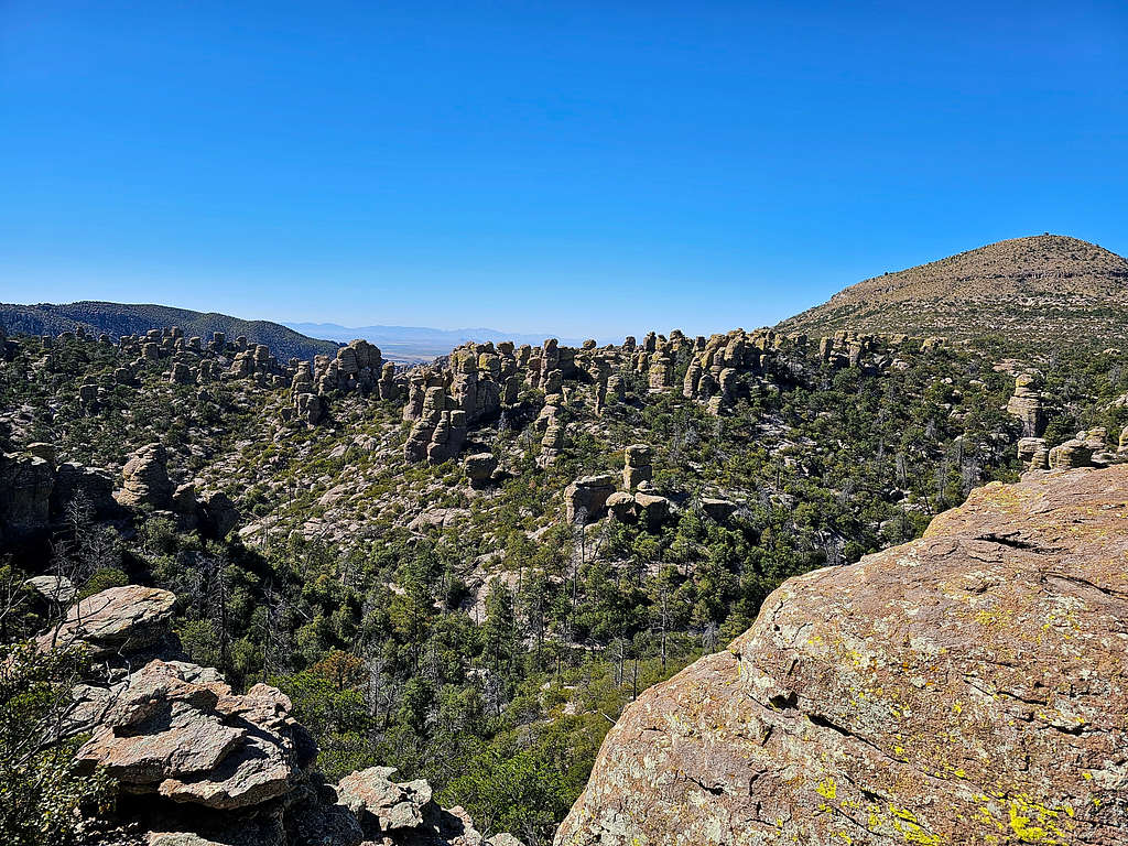
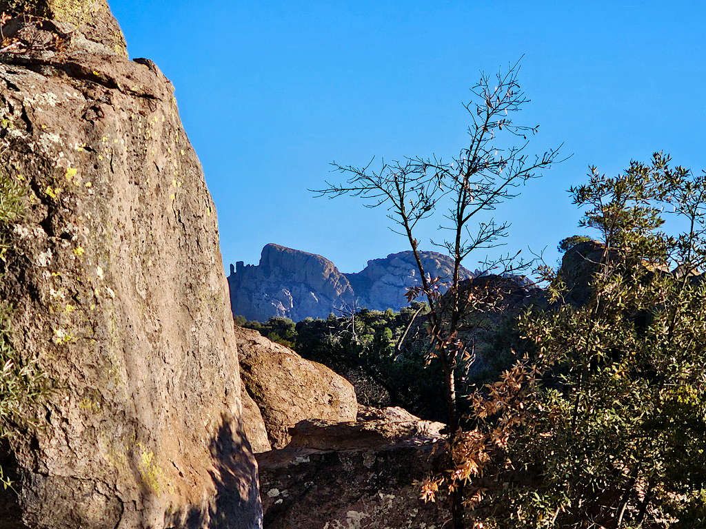
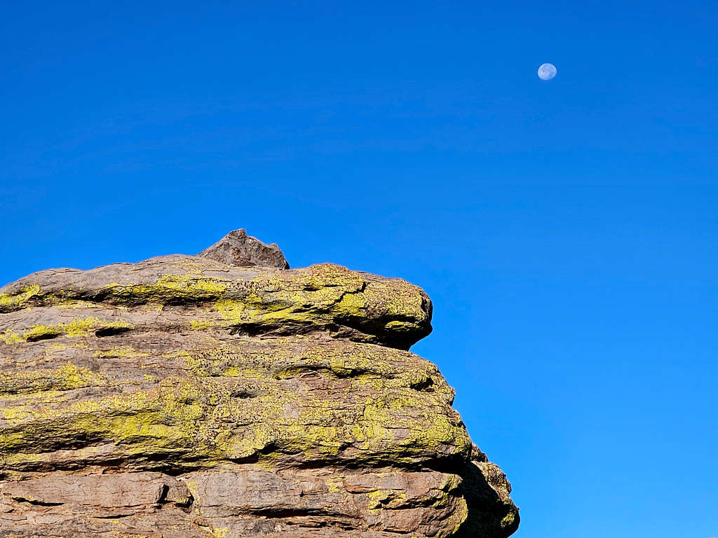
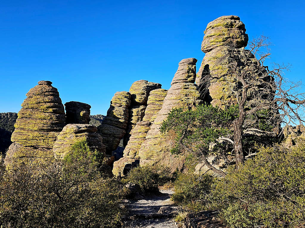
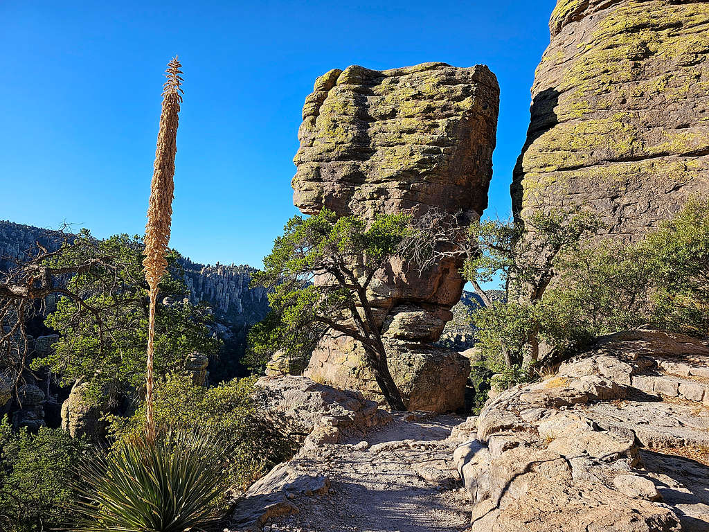
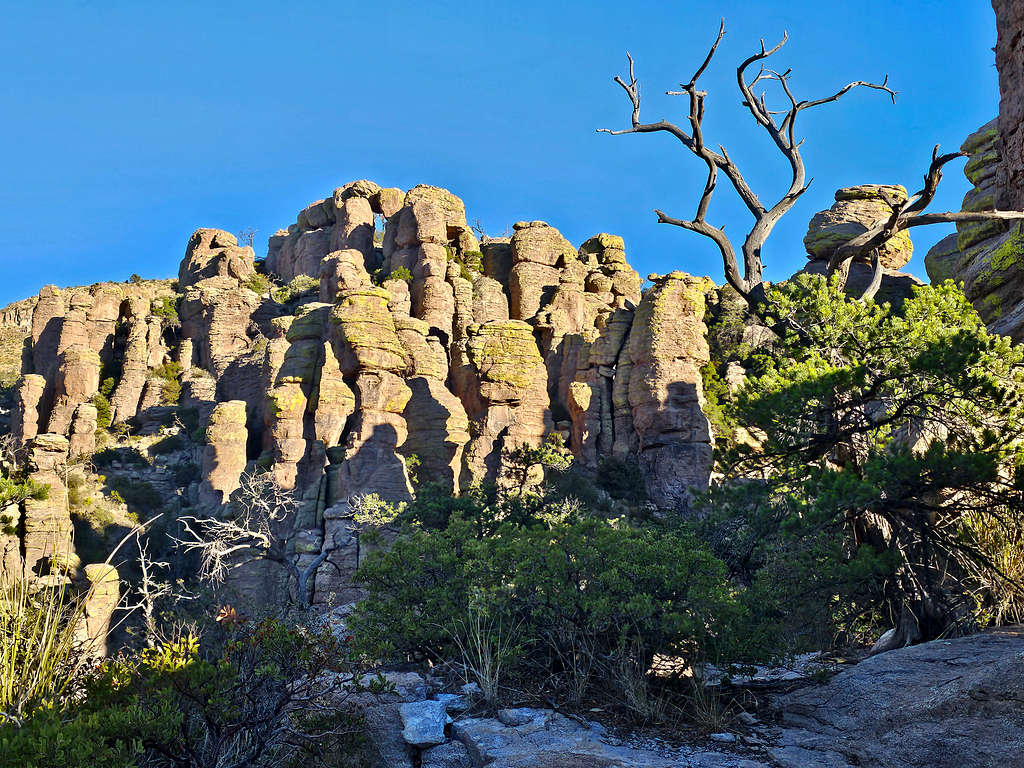
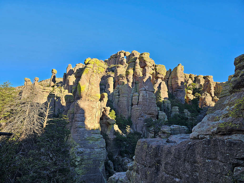
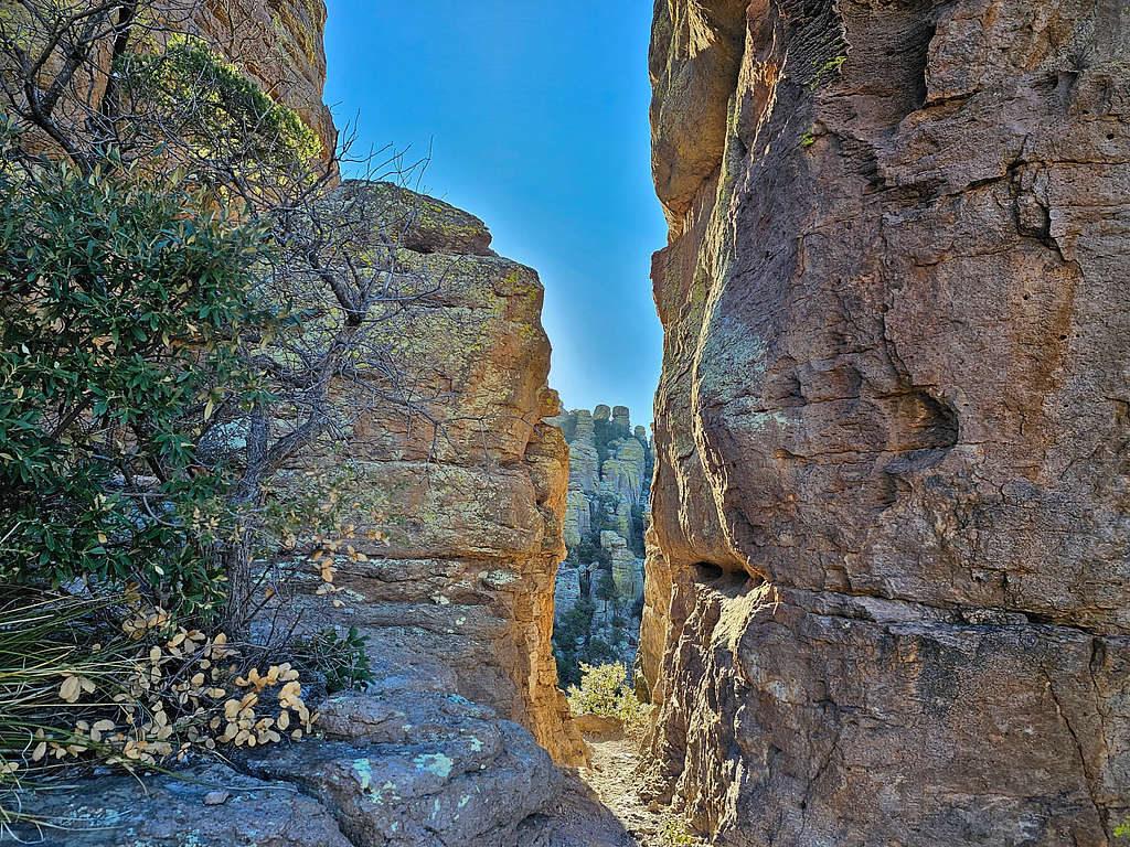
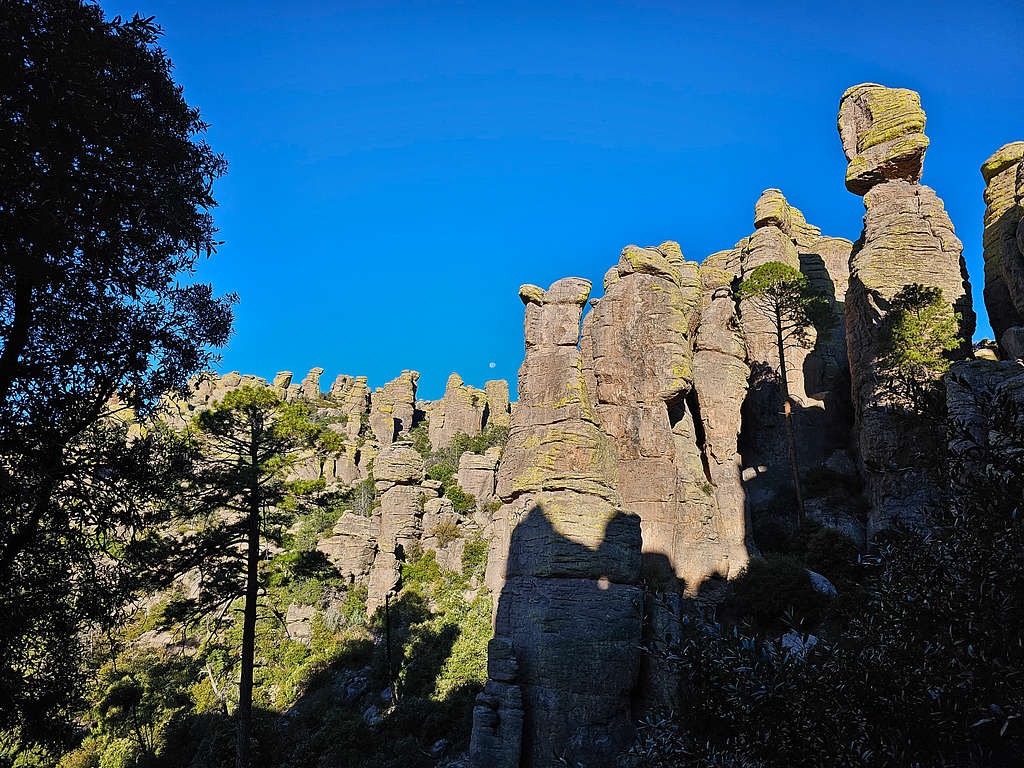
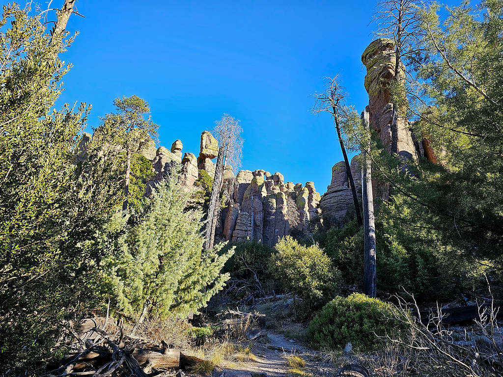
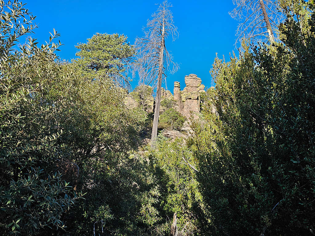
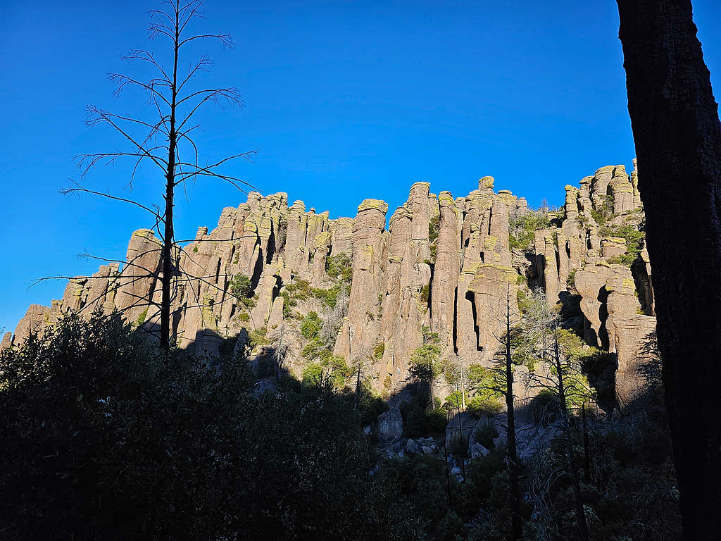
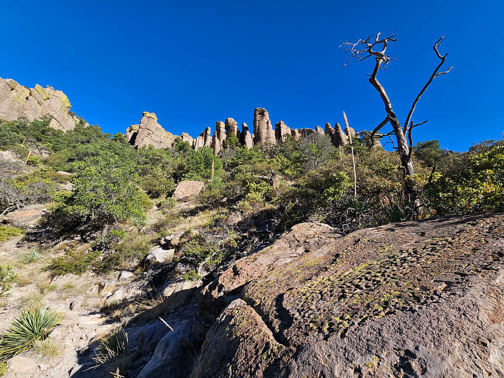
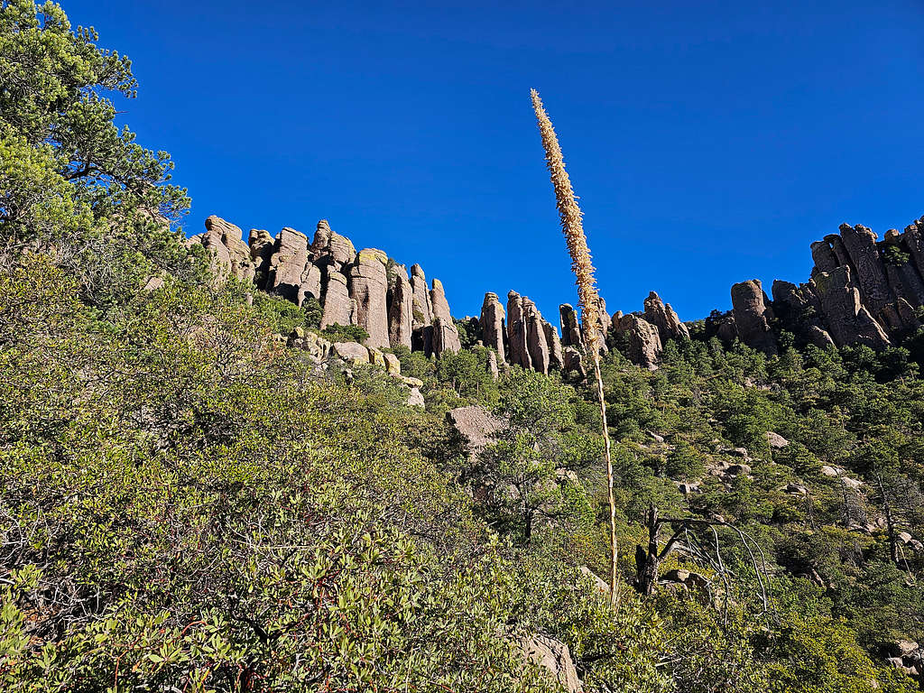
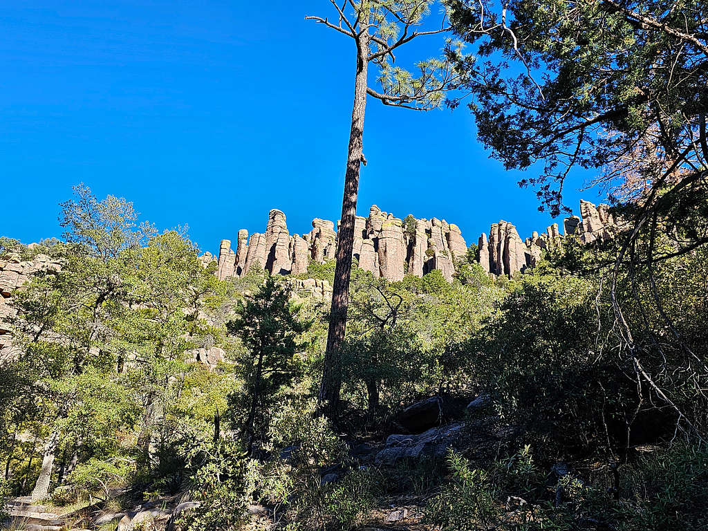
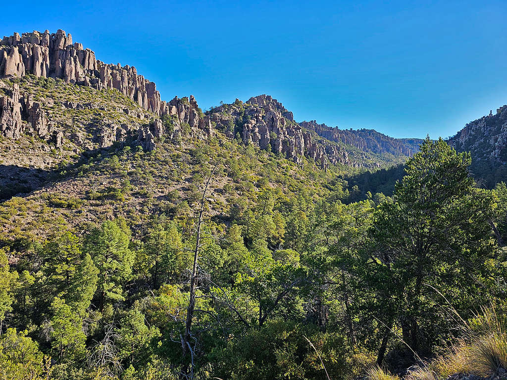
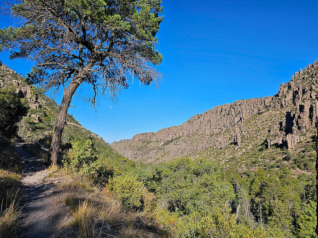
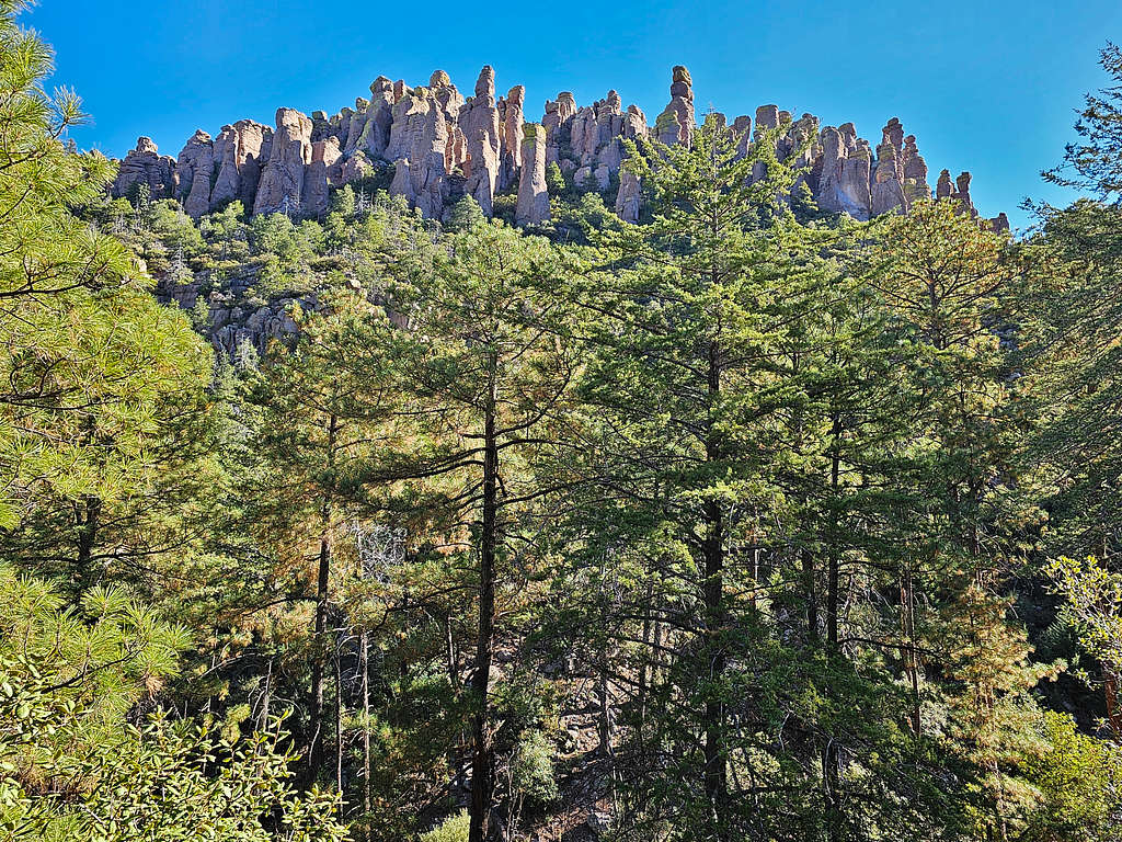
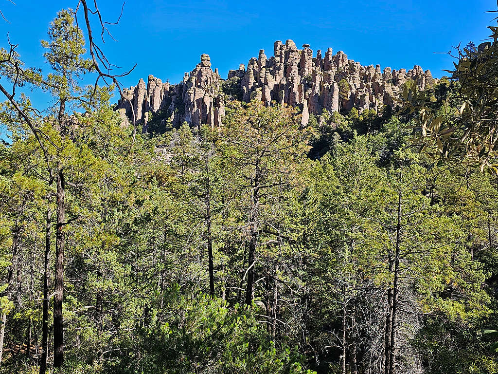
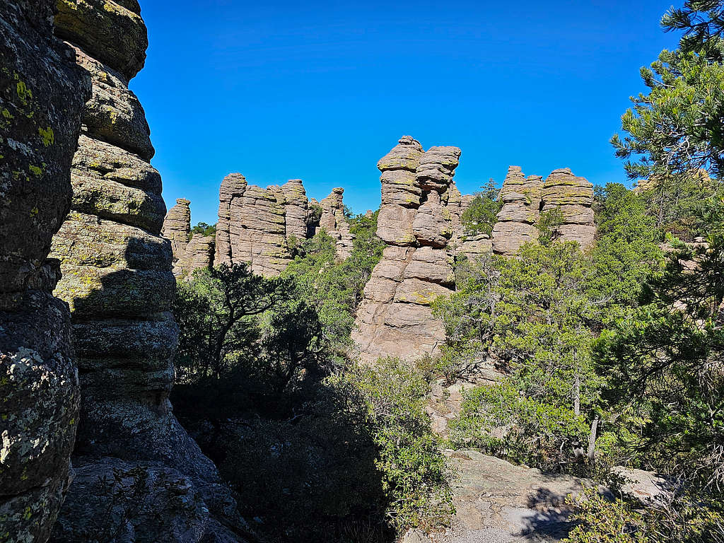
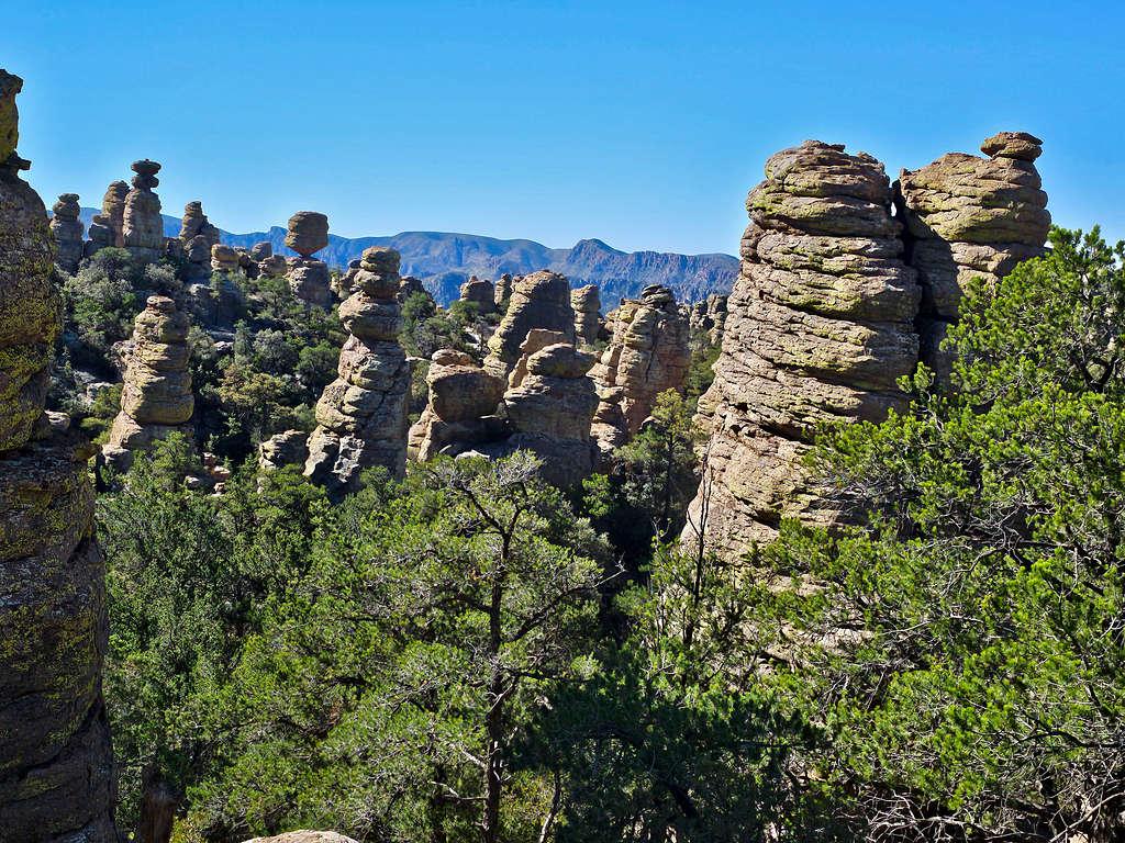
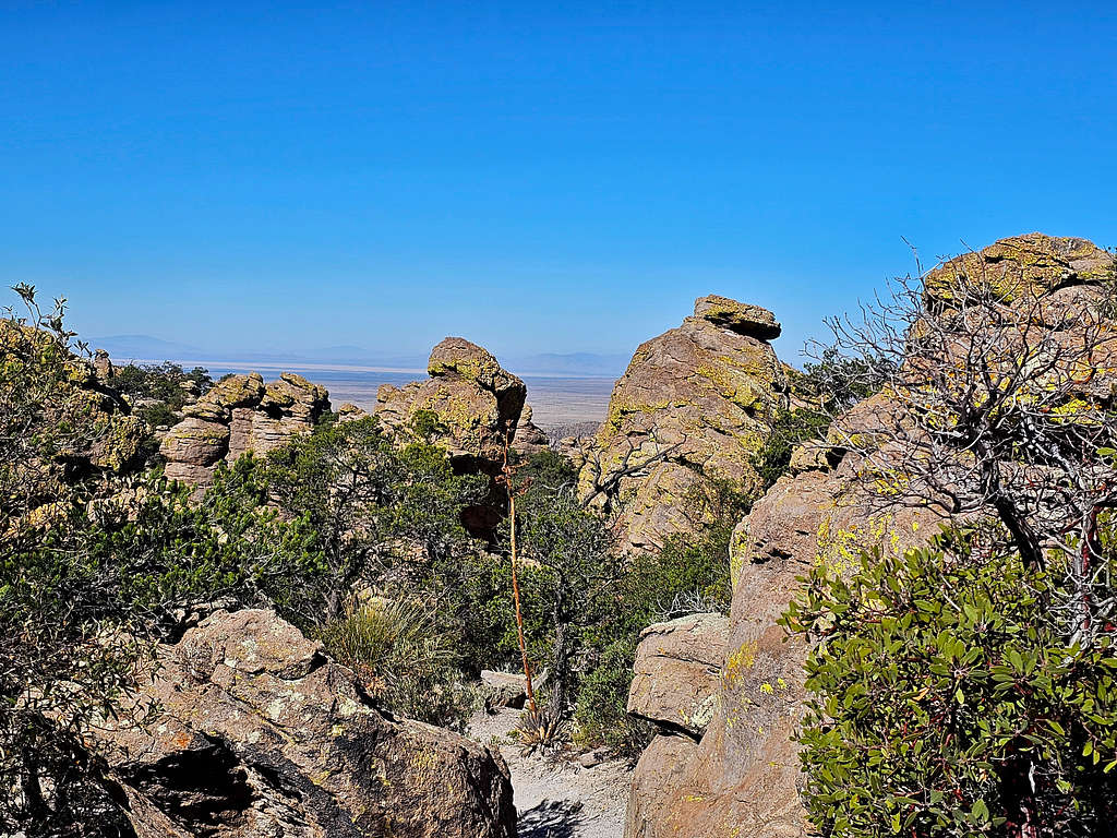
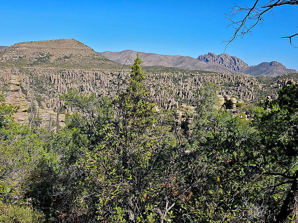
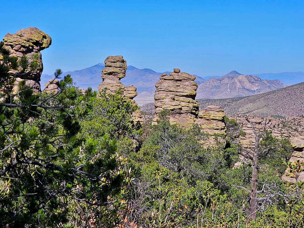
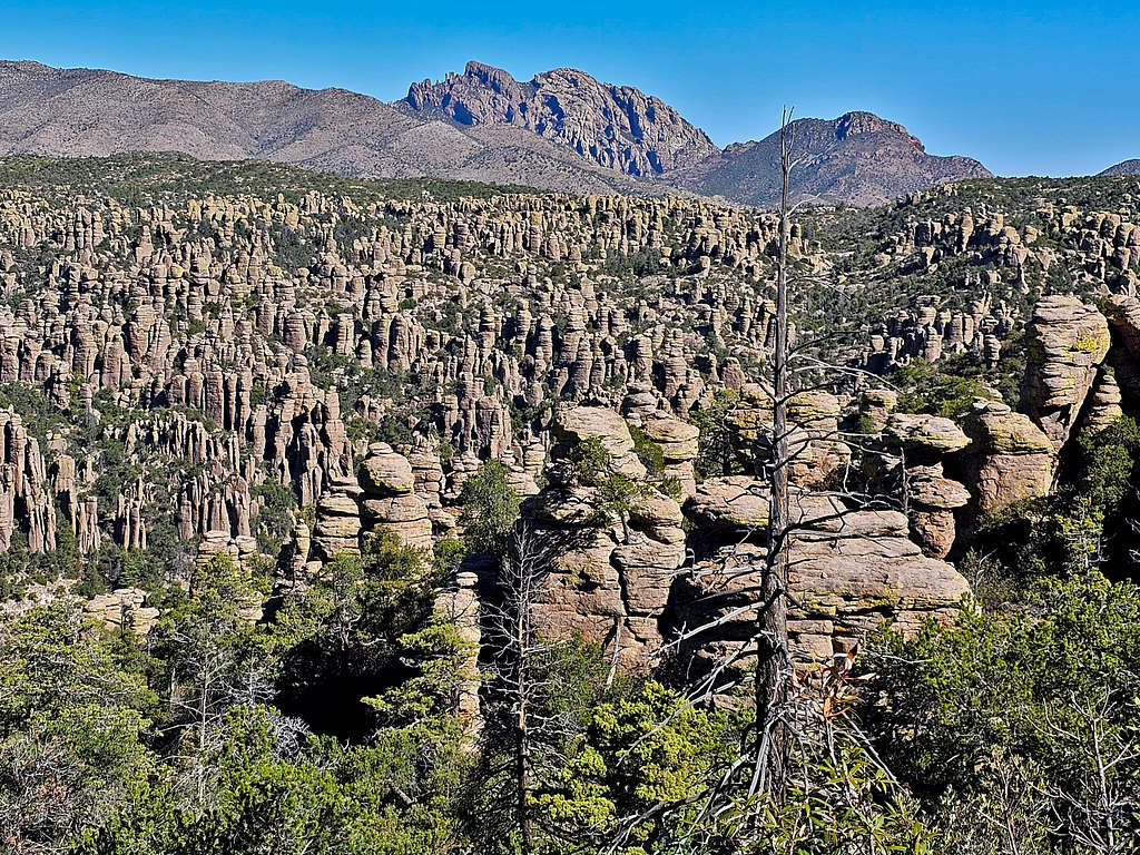
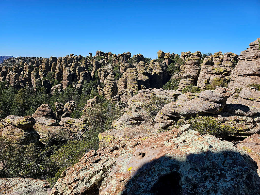
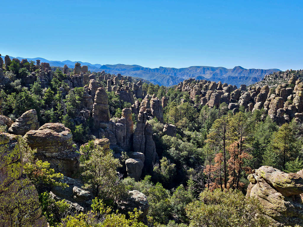
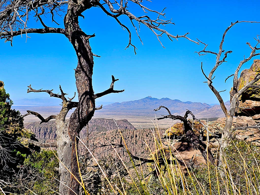
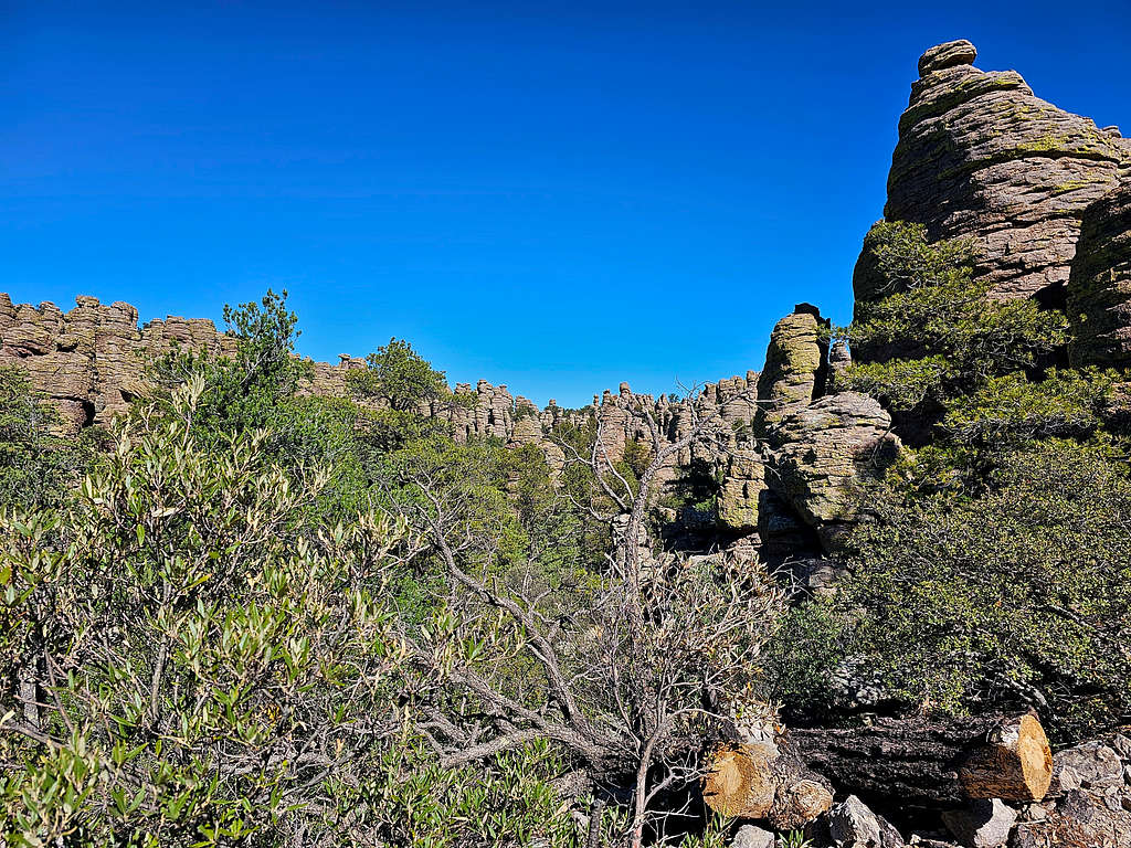
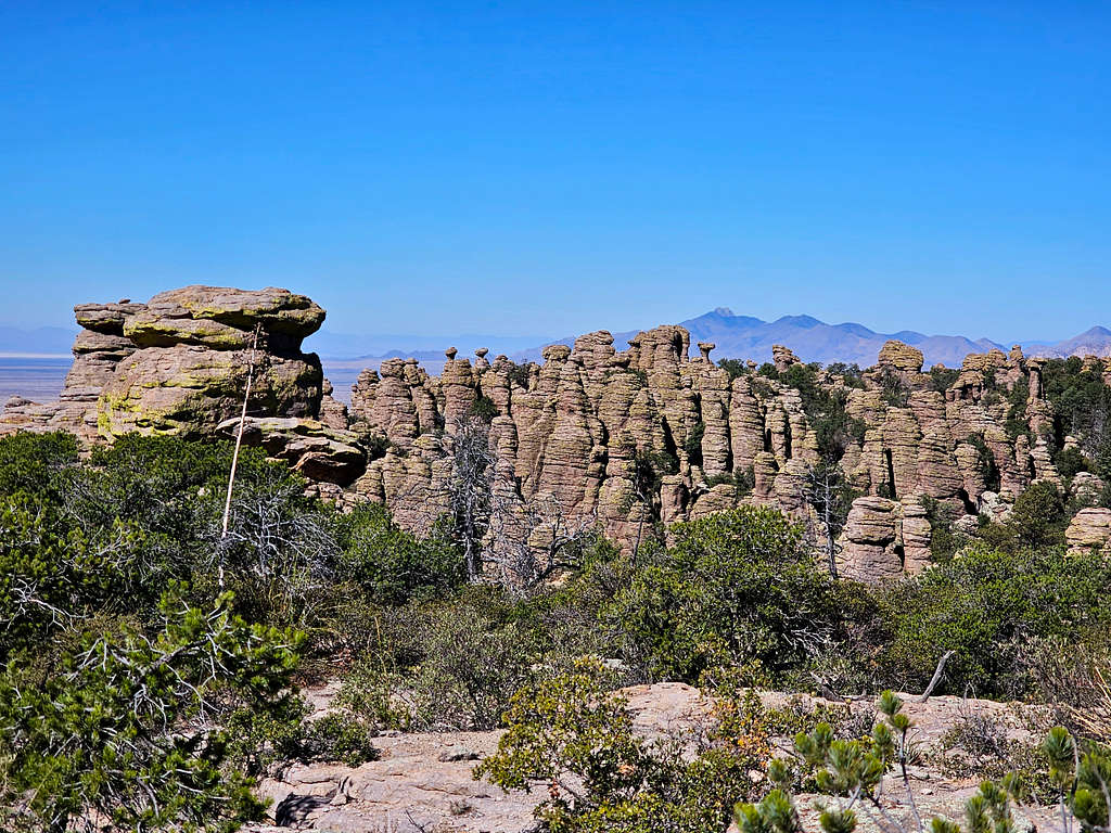
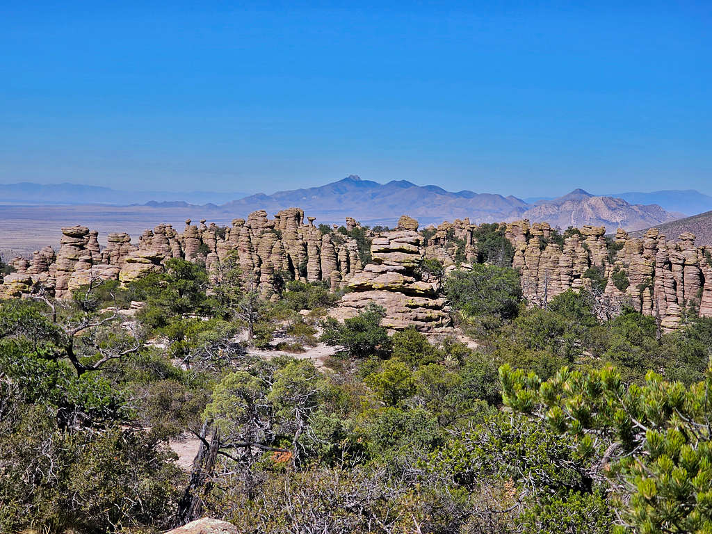
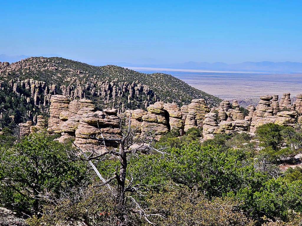
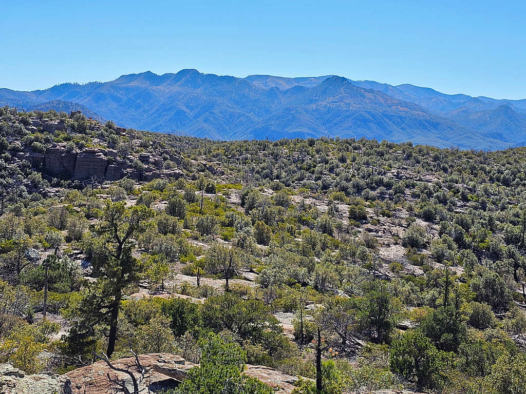
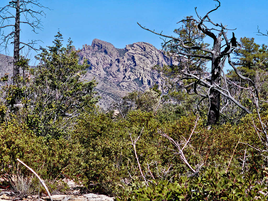
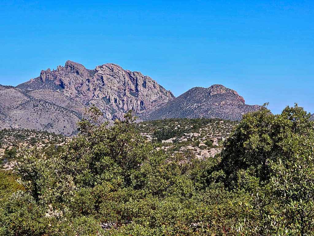
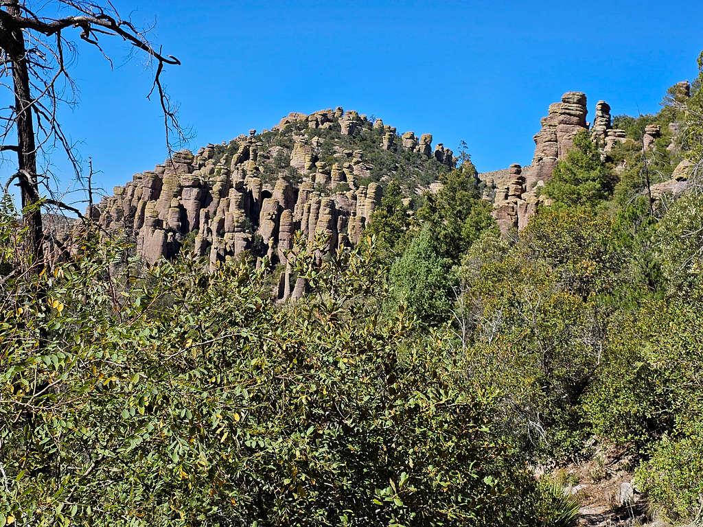
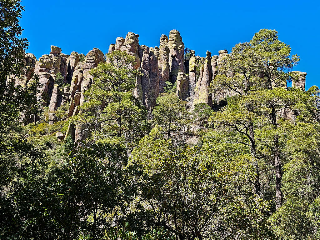
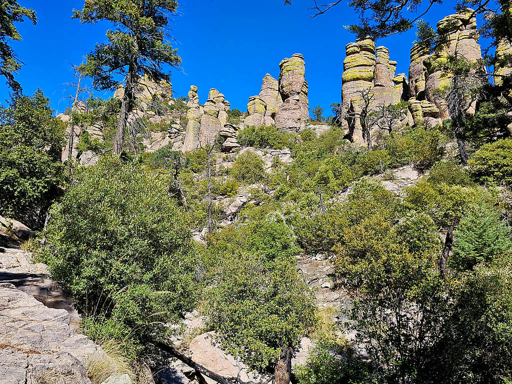
Chiricahua National Monument preserves a fairyland of rocky hoodoos in the Chiricahua Mountains of southeastern Arizona. The entrance to the monument sits on the west side of the mountains. A paved road travels up Bonita Canyon to a viewpoint on the crest of the mountains named Massai Point at an elevation of 6870 ft. From the viewpoint, you can access a series of trails that take you into the most scenic parts of the hoodoos.
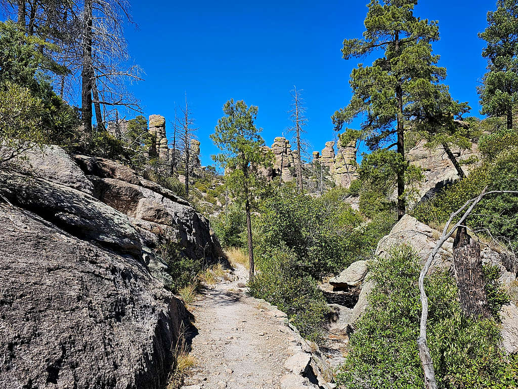
I will describe here a 9.3-mile loop hike that shows you the most interesting features of the monument (maximum elevation 7060 ft, minimum elevation 5850 ft). From Massai Point, this hike takes you down Echo Canyon Trail to the bottom of Rhyolite Canyon, then up Sarah Deming Canyon to the top of a plateau where you will do a short loop in the Heart of the Rocks Trail. You will then continue the plateau to descend into Hunt Canyon/Mushroom Rock Trail and subsequently up Ed Riggs Trail to reach the Massai Point again.
Blue line shows the path described here.
Getting There
From the town of Wilcox, Arizona (86 miles east of Tucson on I-10), drive 31 miles east and south on Route 186 to the intersection with Route 181. Turn east onto 181 and go 3 miles to enter Chiricahua National Monument. Another 7.5 miles will take you to the end of the road at Massai Point.
Massai Point to Junction with Echo Canyon Trail
0.7 miles, 6870 ft down to 6760 ft.
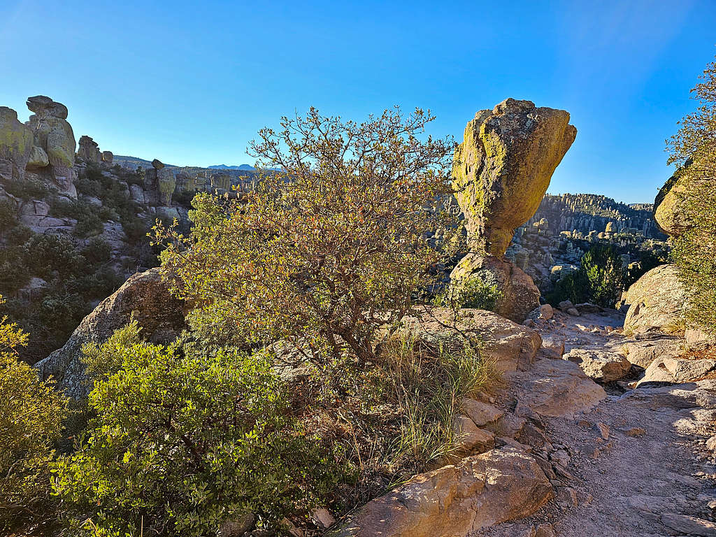
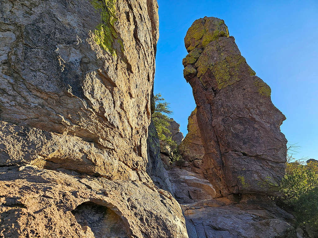
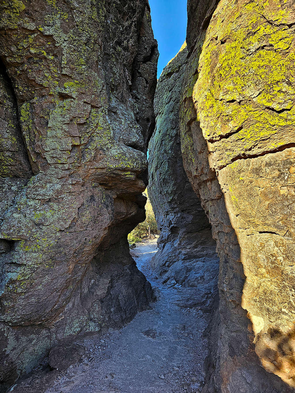
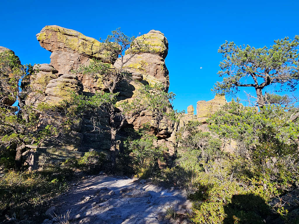
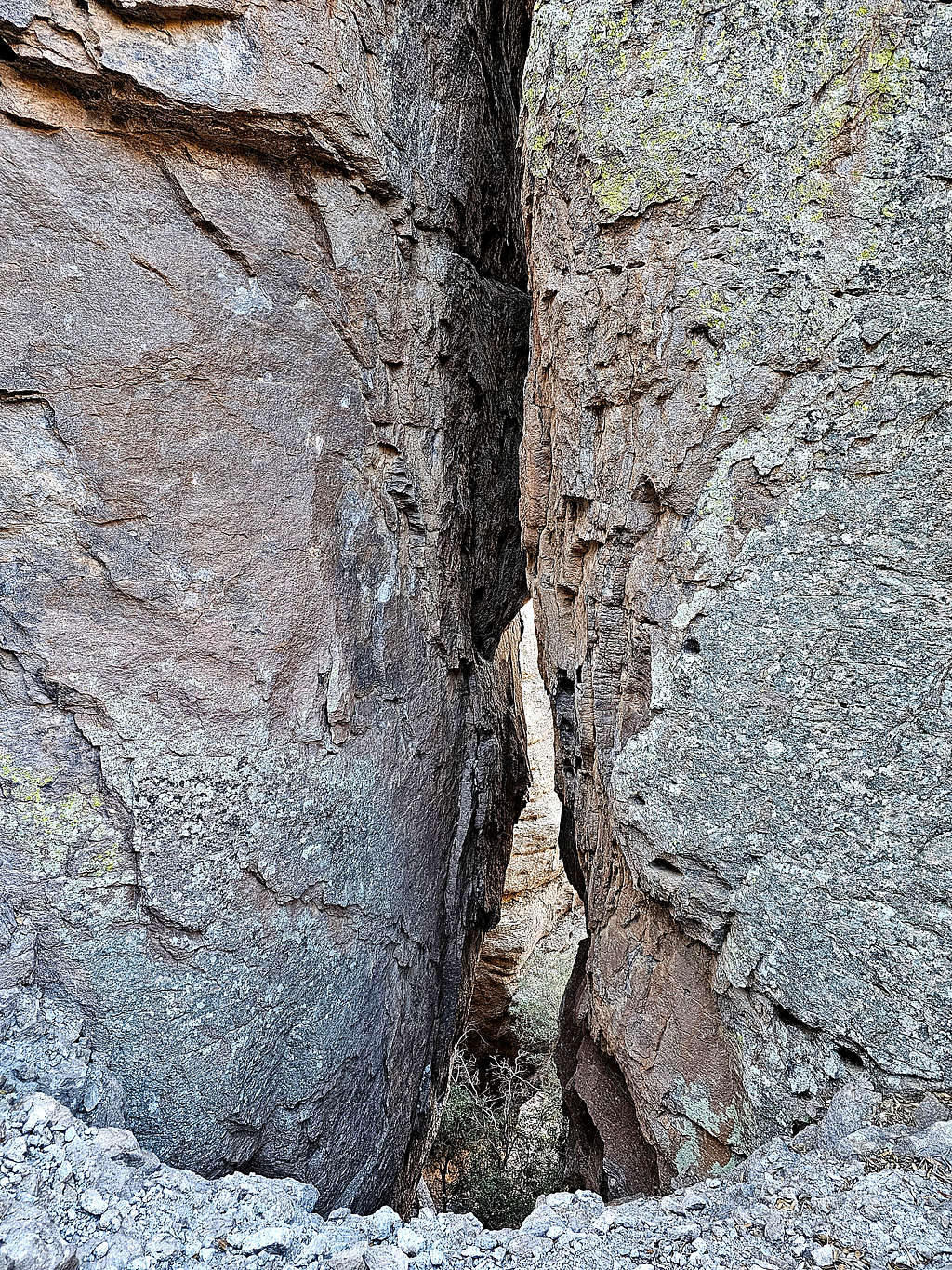
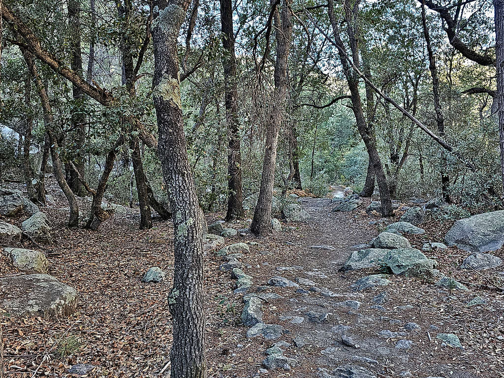
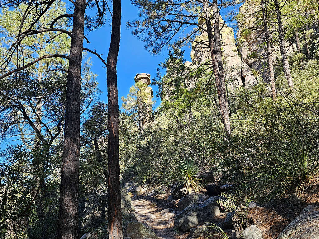
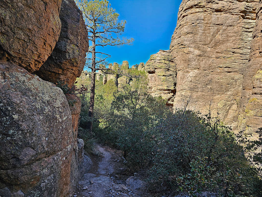
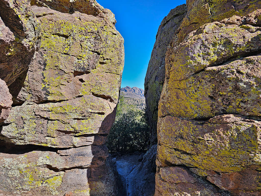
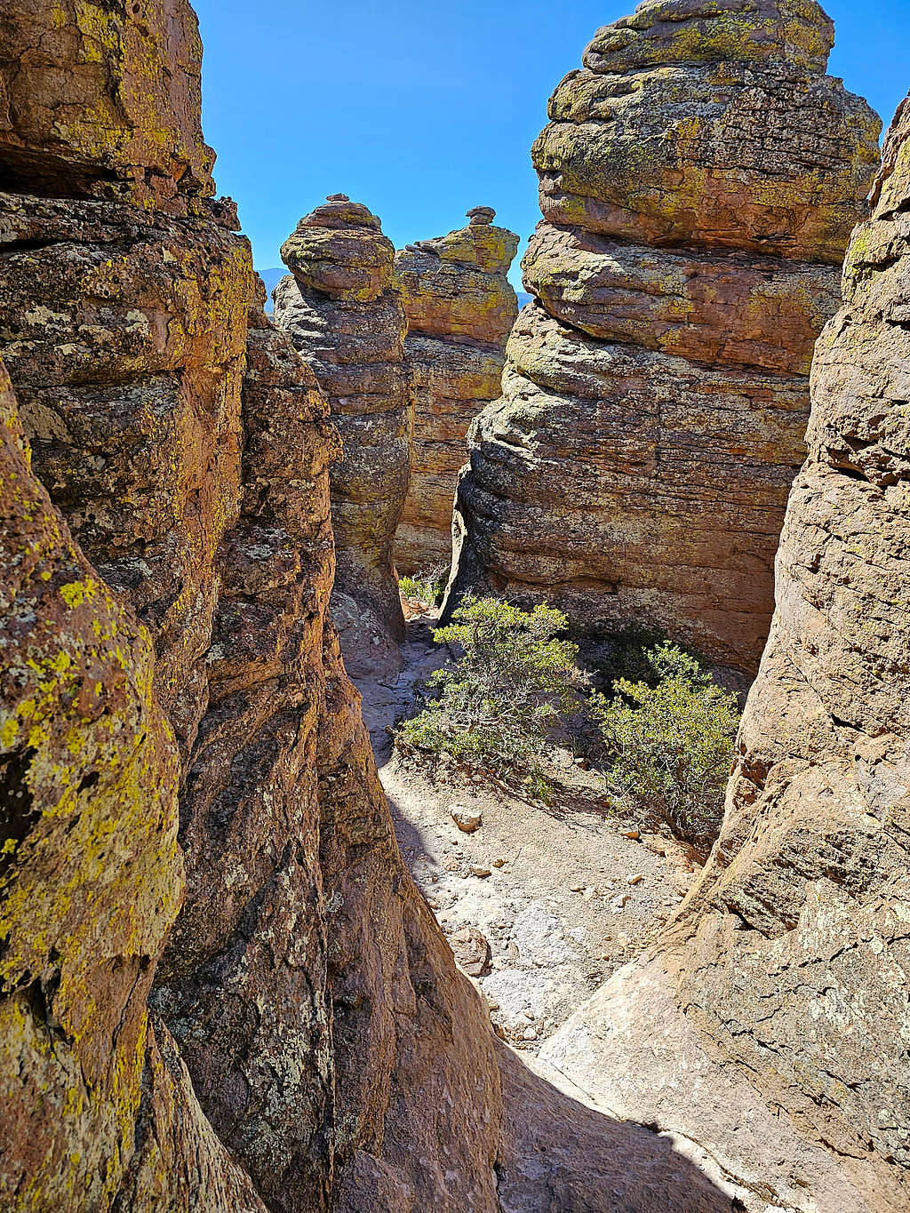
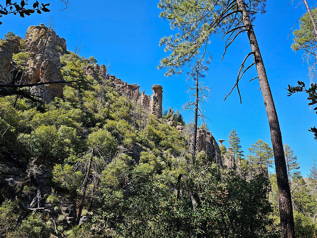
Echo Canyon Trail
This 1.6-mile section takes you from the junction with Echo Canyon Trailhead (6760 ft) down to the junction with Hailstone Trail (6275 ft).
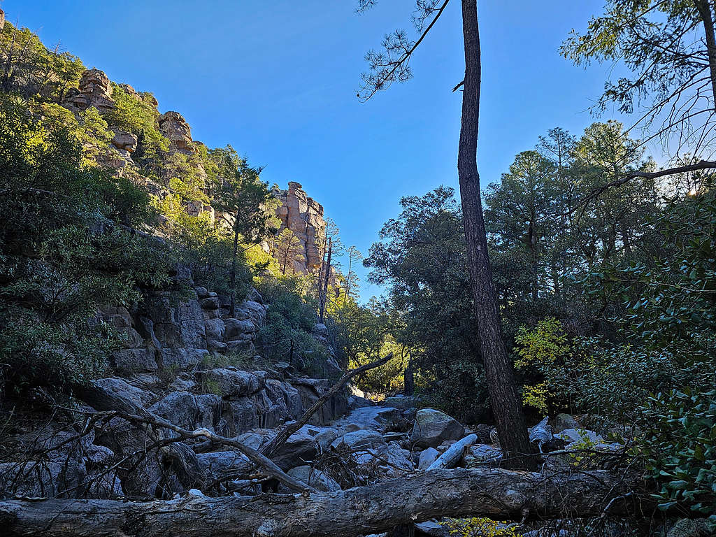
Down to Rhyolite Canyon and Junction with Sarah Deming Canyon Trail
Distance of 1.1 miles, minimum elevation 5850 ft.
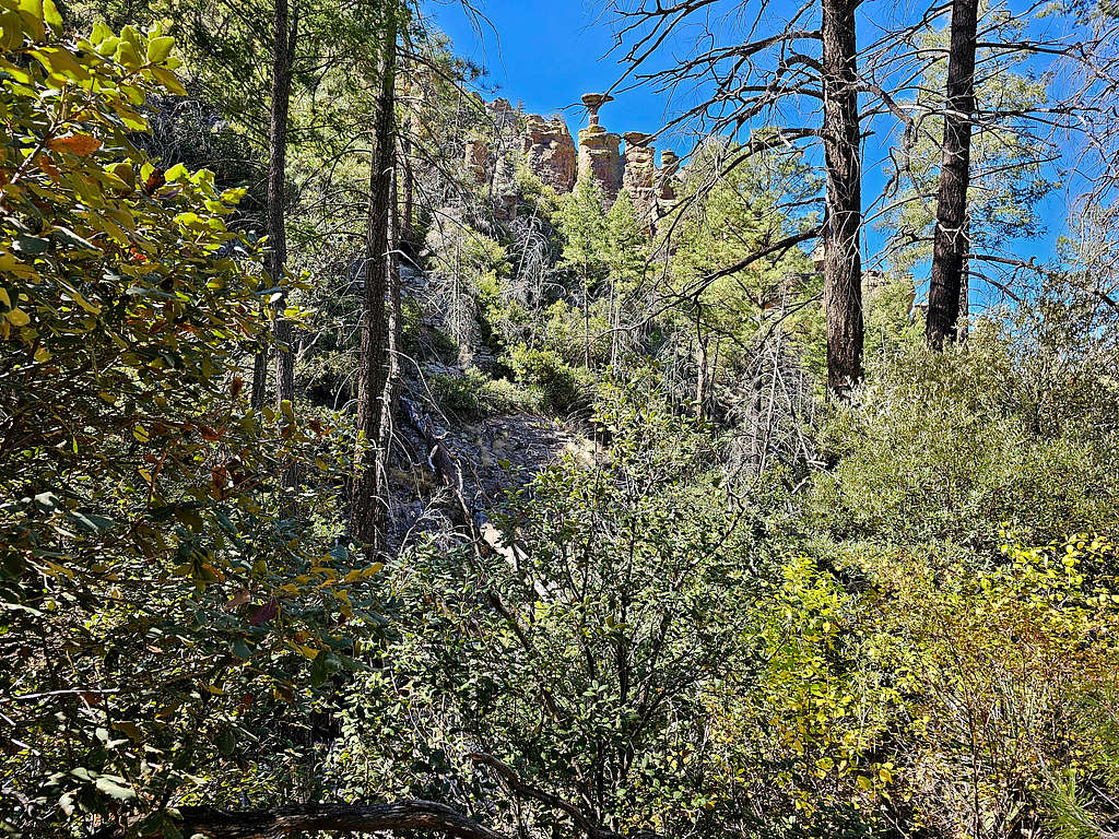
Sarah Deming Canyon Trail to Junction with Heart of the Rocks Loop Trail
Going up from 5930 ft to 6800 ft, 1.7 miles.
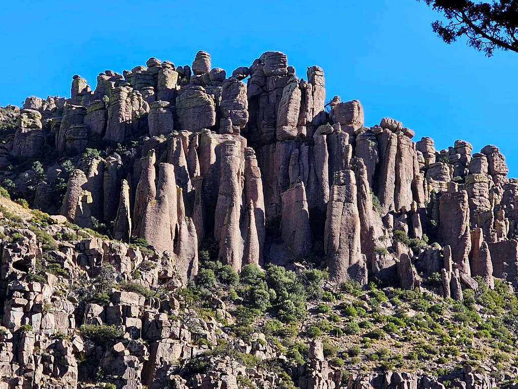
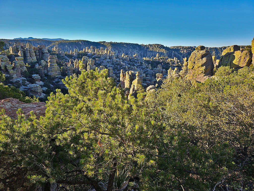
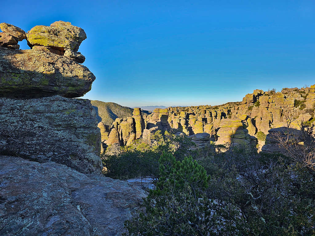
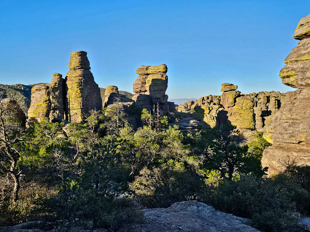
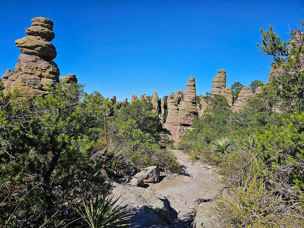
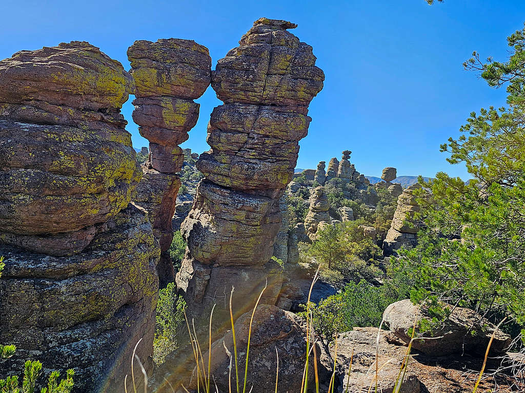
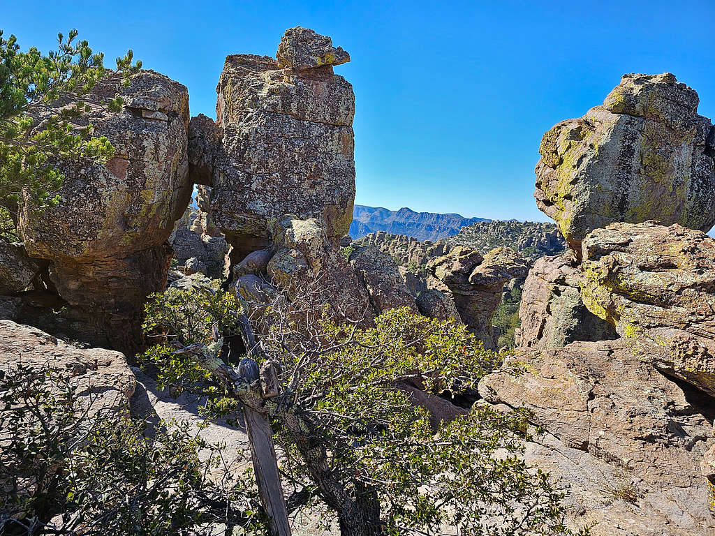
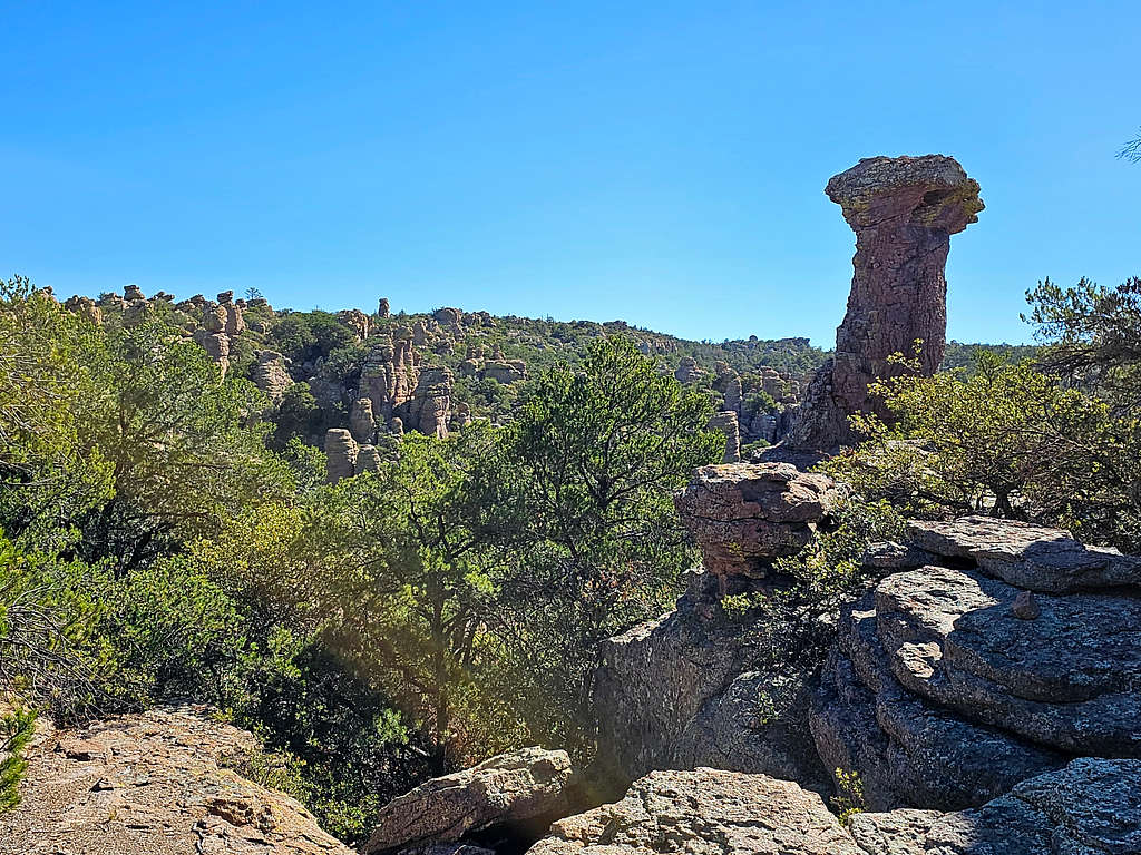
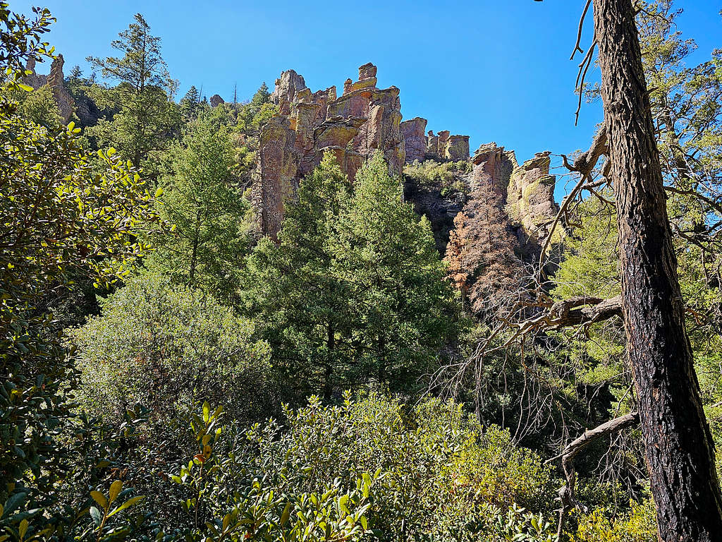
Heart of the Rocks Loop Trail
1.0 miles.
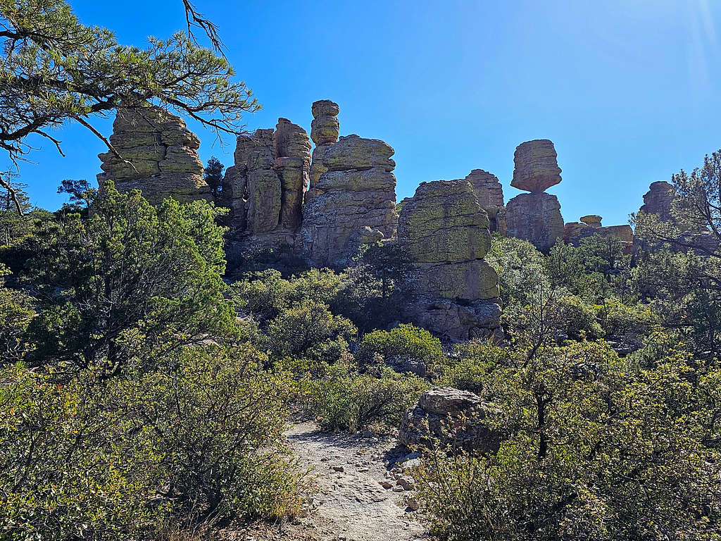
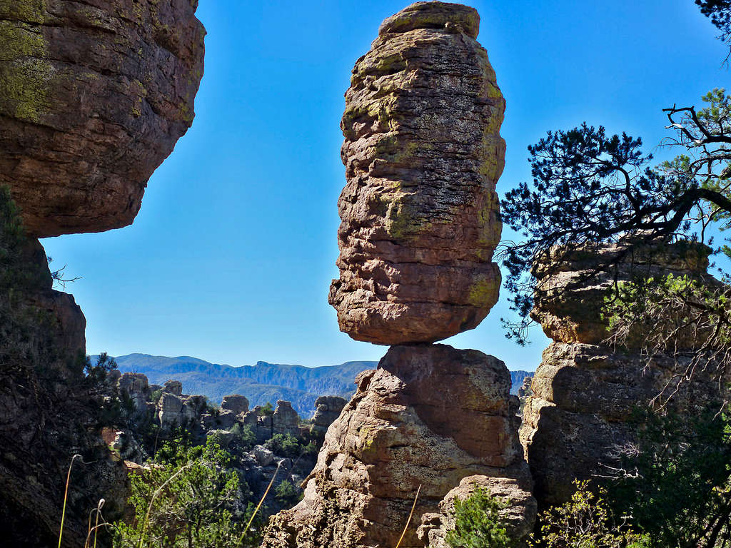
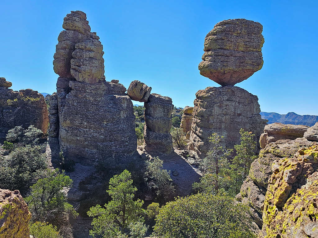
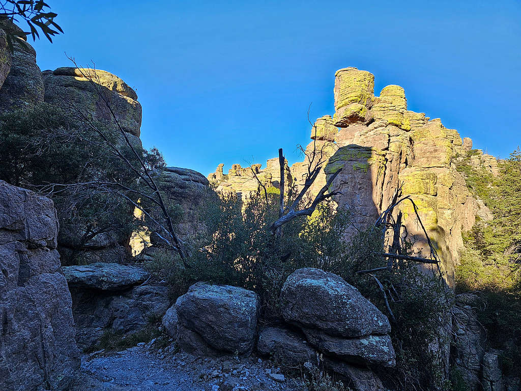
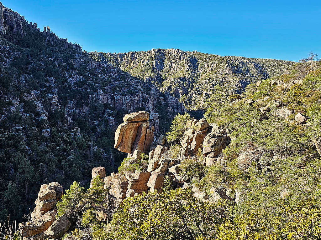
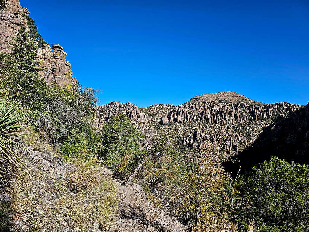
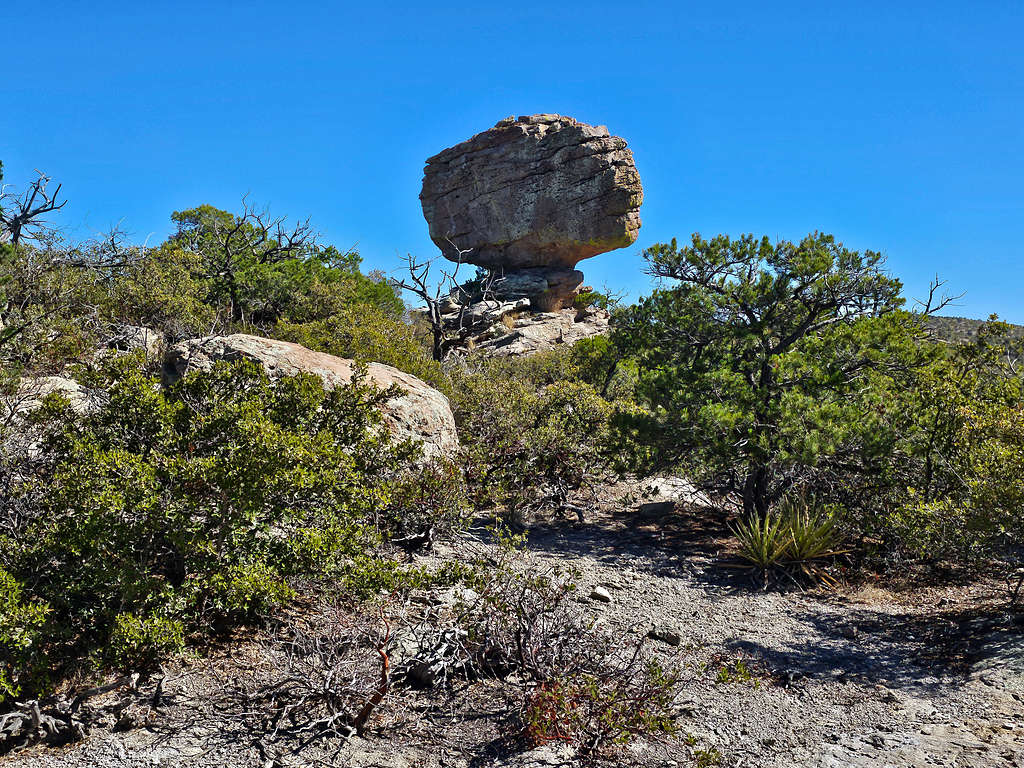
Big Balanced Rock Trail to Hunt Canyon
This section goes from the junction with Heart of the Rocks Loop to the junction with Inspiration Point and Hunt Canyon/Mushroom Rock Trails. One mile length with a maximum elevation of 7060 ft.
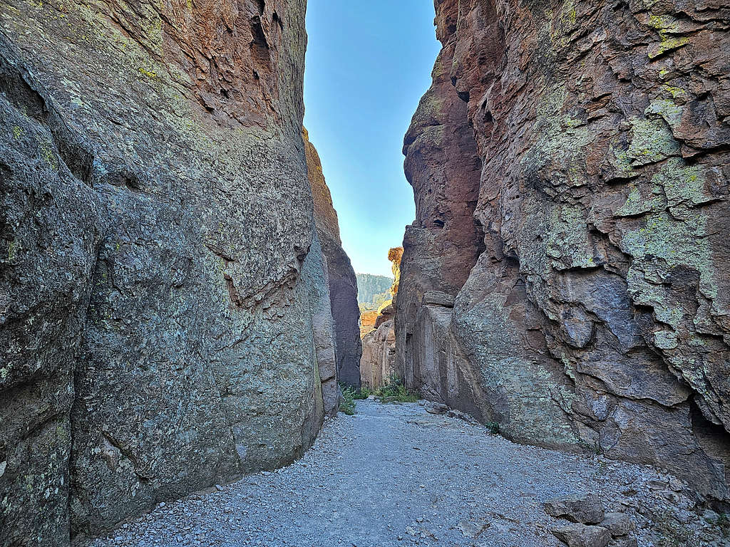
Mushroom Rock Trail
This trail takes you from the top of the plateau into Hunt Canyon and then the upper portions of Rhyolite Canyon to end at the junction with Ed Riggs and Hailstone Trails. 1.2 miles going from 6960 ft down to 6400 ft.
Ed Riggs Trail to Massai Point
Going from the junction with Mushroom Trail (6400 ft) up to Massai Point (6870 ft), 1.0 miles.
Best Time to Visit
Summer can be very hot. Summer is also the rainy season. Winter can bring cold and snow. Best time to visit is fall and spring.
External Links, Red Tape, Camping, Fees
For all information please refer to the Chiricahua National Monument website:
https://www.nps.gov/chir/index.htm