
-
 1215 Hits
-
 83.1% Score
-
 16 Votes
|
|
Mountain/Rock |
|---|---|
|
|
46.84173°N / 11.26875°E |
|
|
Bolzano Alto Adige |
|
|
Hiking, Mountaineering, Scrambling, Skiing |
|
|
Spring, Summer, Winter |
|
|
7648 ft / 2331 m |
|
|
Overview
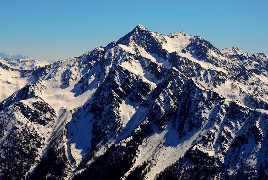
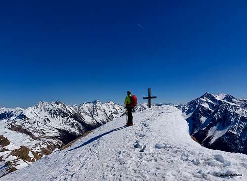
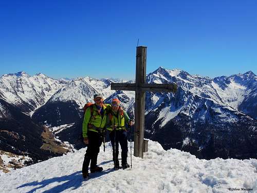
Cima Fleckner 2331 m
Cima Fleckner or Flecknerspitze is a peak in the Western Breonian Alps (Stubai Alps) mountain range in South Tyrol, Italy. The peak has a height of 2331m and there is a large summit cross on its summit.
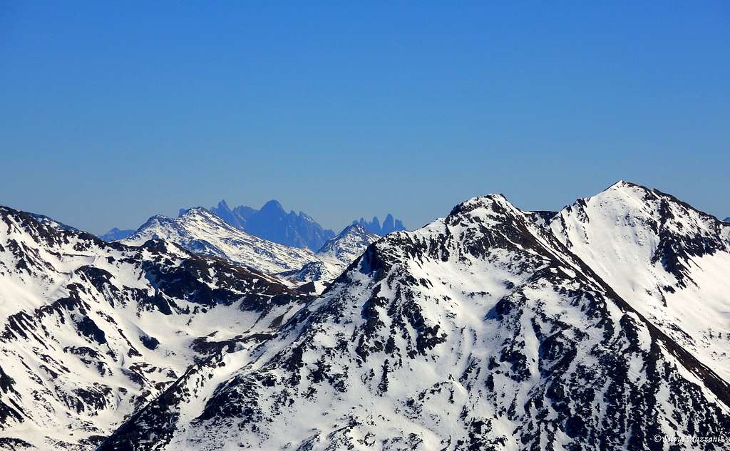
Cima Fleckner 2331 m together with the nearby Cima Saxner, which with its 2358 m is only a few meters higher, is one of the most profitable and therefore quite popular destinations in the Val di Racines. The summit of these mountains is located on the watershed that divides Val Racines with Val Passiria. Both destinations, which share a large part of the ascent route, offer an unforgettable and wonderful panorama of the Fleres Dolomites with the Tribulaun and the Stubai Alps.
The two mountains offer beautiful and not demanding ascents in snowshoes or ski mountaineering on the beautiful ridge that divides Val Passiria from Val Racines. In summer the summit cross is surrounded by meadows and offers an easy walk, while during winter and spring Cima Fleckner becomes a beautiful ascent on snow almost always in safe conditions, with light and moderate slopes on the North side and with moderate difference in altitude. For this reason it is a top suitable for beginners.
Getting There
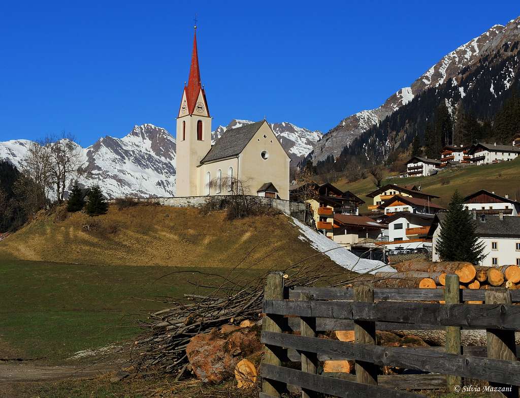
The peak is located in Val Racines, Alto Adige. From the A22 Autobrennero exit Vipiteno/Sterzing and take the road to Racines in the homonymous valley. Near Stange follow to the left the province road to Val Racines. Follow the road that runs through the valley. The starting point is from a car park in front of a forest near a hillock just before the road begins to descend towards Vallettina, Flading. About 16 km from Vipiteno.
Fleckner from Val Racines
Summit quote: 2331 m
Difficulty: Alpine F (in winter), otherwise E
Difference in level: 850 m
Starting point: parking lot in Val Racines before Vallettina
The itinerary described doesn't involve particular technical difficulties other than the familiarity with the snowy or icy terrain
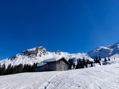
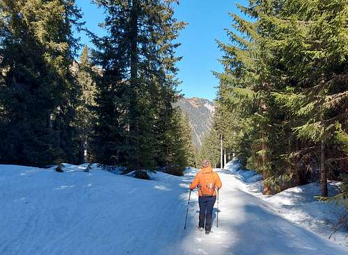
From the car park take the forest road (signposts Malga Aussere Wumblsalm) just opposite. Follow it moderately uphill for about an hour along easy terrain in a pleasant zigzag or alternatively straight through the forest following the various possibilities for shortcuts between one hairpin bend and another. The stretch of forest road can be shortened by "cutting" the various hairpin bends with suitable shortcuts which, although increasing the difficulty of the climb, reduce the length of the climb considerably.
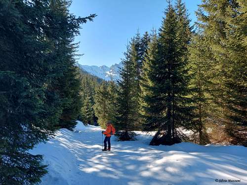
After a hairpin bend to the right, we turn left to take another one. After another bend to the right, we leave the forest road and cross the dense forest with a short steep section, until we meet another forest path, to the right of the so-called Waldhüttl alm 1744 m.
Instead of follow the signpost to the refuge, we proceed straight along an open level area and then through the woods, until we reach the forest road again.
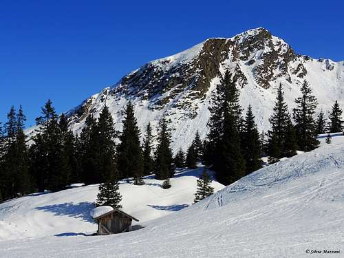
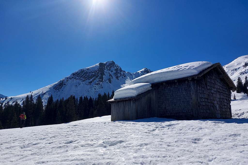
We then climb straight through the sparse forest to reach the end of the forest, getting a wide pasture above the edge of the forest near two scenographic alms at 1882 m where the view opens onto the snow-covered slopes above.
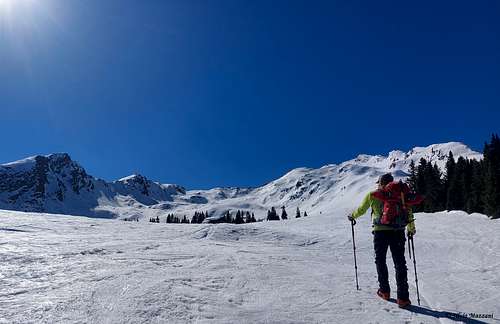
Leaving the wood behind us and skirting the first alm to the right, we leave the main valley and climb instead diagonally to the right to enter another valley to the right of the main one. Following it entirely in the direction of the ridge above.
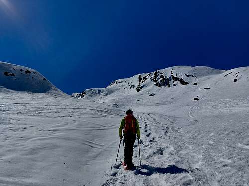
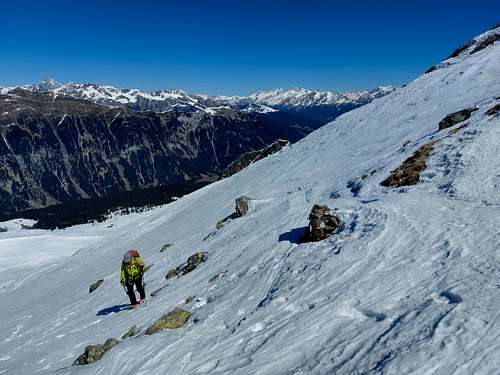
The last meters before the saddle dividing the two peaks are the steepest and most tiring, to be done with care in case of hard or frozen snow. So we reach with a last steeper ascent the saddle between the Saxner (to the right) and the Fleckner (to the left). From the saddle we turn to the left and following briefly the ridge we reach the summit cross.
Descent: along the ascent route
Summit view
Red Tape
No fees no permits requred
When to Climb
Hiking: from June to October
Snowshoes or ski: from February to April
Accomodation
Different possibilities of accomodation in val Racines