
-
 1130 Hits
-
 75.81% Score
-
 6 Votes
|
|
Mountain/Rock |
|---|---|
|
|
46.52600°N / 110.776°W |
|
|
Hiking, Trad Climbing, Sport Climbing, Toprope, Bouldering |
|
|
Spring, Summer, Fall |
|
|
6765 ft / 2062 m |
|
|
Overview
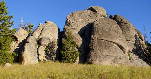
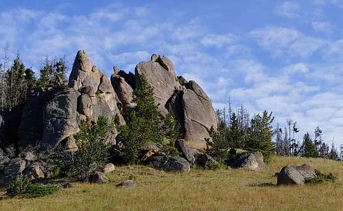
Located in the Grasshopper Rocks area of the Castle Mountains, Cow Patty consists of two close granite outcrops.
The Mountain Project page indicates there are sport, trad, and TR lines from 5.4 to 5.10b, but route pages currently exist for just two routes at the Upper Rock.
As someone passing through and wanting to get a sample, I climbed those two routes and did not bother trying to figure out the others.
If you can, grab The Big Empty by Ron Brunckhorst; it is supposed to be an excellent resource for this location and many others in central Montana.
Getting There
From White Sulphur Springs, drive east on U.S. 12 and then turn right onto Four-MIle Road, signed as 211. Drive a few miles to Grasshopper Creek Campground. Enter the CG and turn right onto a two-track heading uphill and follow it for 1.5 mi to a gate; park in the pullout just before the gate. Use your judgment; I had a low-clearance vehicle that made it to the gate but endured some ugly-sounding scraping on the underside at times.
Hike the closed road until you join Trail 716. Soon you will pass a fence and private property on the right. Shortly after that will be an intersection with Trail 723, which I missed on the way up. Just stay right and uphill. After some switchbacks, you enter a meadow and Cow Patty is uphill to the right. If you have read these instructions and looked at pictures on this page, you would have to possess uncommon stupidity to not locate the crag.
One-way distance is just shy of a mile.
Routes
Although there are supposed to be six routes from 5.4 to 5.10b, I only had information for, and climbed, two:
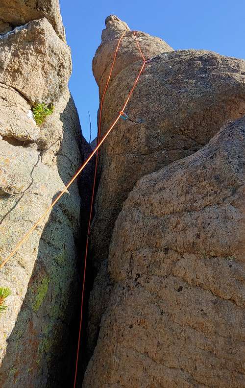
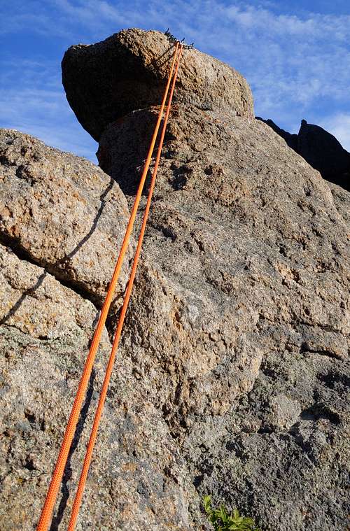
- Lazy Day Routes, 5.8+. This is a short 3-bolt sport route that is harder at the start and gets easier as it goes. Chains for anchors.
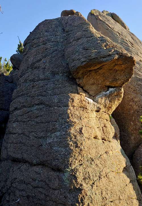
- Mad Cow Disease, 5.6 R. Start in a chimney and then step onto the face; this is the crux and felt a little intimidating for the grade to me. After that the climbing is easy to chains; the MP page recommends trad gear for a couple sections between bolts, but I didn't think pro looked very good or even necessary. It's your life, so you decide.
|
|
|
Red Tape
None other than any posted regulations.
Camping
Stay in the CG mentioned above (FS site, and fees apply) or camp near the gate.