
|
|
Route |
|---|---|
|
|
34.02084°N / 116.01602°W |
|
|
California Riding & Hiking Trail
California Riding and Hiking Trail (CRHT) is a 37.5 mile long trail that starts at the northern entrance of Joshua Tree National Park near twenty Nine Palms. It heads south for 7 miles then turns west/northwest to end at the northwestern border of the park in Black Rock Campground. To create Summitpost pages and reasonable day hikes, I have arbitrarily broken CRHT into several sections with approximate millage as below (the linked pages below may include descriptions of other nearby trails as well):
1) Northern Entrance to Pinto Wye, 4.5 miles
2) Pinto Wye to Juniper Flats, 13.7 miles
3) Juniper Flats to junction of Stubbe Springs Trail, 3.7 miles
4) Junction of Stubbe Springs Trail to Eureka Peak Trail, 10.1 miles
5) Eureka Peak Trail to Black Rock Campground, 5.5 miles
CRHT, Pinto Wye to Juniper Flats
The 13.7 mile section of CRHT described here can be done as a one way day hike. It takes you from a spot near the junction of Park Boulevard and Pinto Basin Road (Pinto Wye) to Juniper Flats parking area on Keys View Road. For the first 2.65 miles, the trail heads south paralleling Pinto Basin Road not far from it. It then turns west crosses the road and goes on a desert plain in a remote part of the park where you are unlikely to see other hikers. After crossing Geology Tour dirt/4WD road, the trail goes into a valley on the south side of Ryan Mountain up to a broad valley and then comes down to reach Keys View Road.
Getting There
Directions to Juniper Flats Parking:
From the west entrance follow the main park road 10 miles to Keys View Road. Turn right onto Keys View Road and drive 1 mile to Juniper Flats Parking area on the right side of the road.
Direction to the start of the trail description near Pinto Basin Road (Pinto Wye):
From the north entrance of the park near Twenty Nine Palms, CA, follow Park Boulevard 4.5 miles south to the junction with Pinto Basin Road. Turn left onto Pinto Basin Road and take an almost immediate left onto a side service road. You will soon reach where CRHT crosses the road. This is the start of the hike. There is no official parking area at this spot.
Route Description
See map below for detailed distances. Total one way hiking distance is 13.7 miles. Lowest elevation is 3640 ft and the highest elevation is 4540 ft.
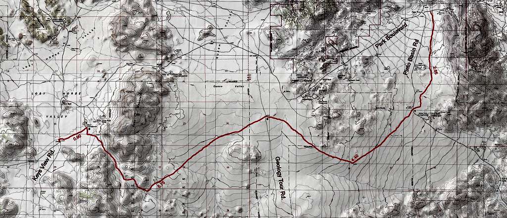
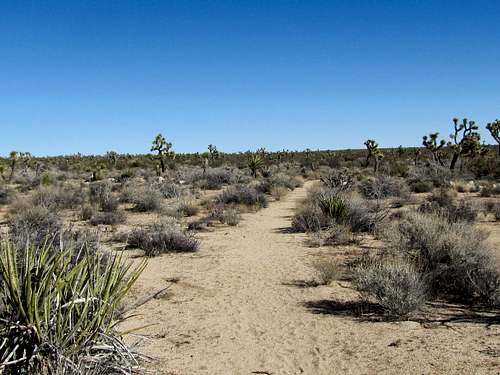
From where California Riding and Hiking Trail crosses the service road, get on the trail and head south. The trail parallels Pinto Basin Road but is far enough from it to not create a nuisance.
 |
 |
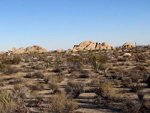
You will go by Belle Campground where a pile of big boulders can be seen.
 |
 |
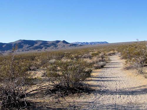
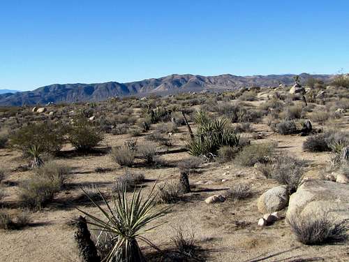
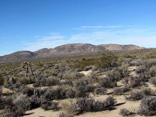
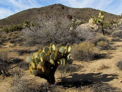
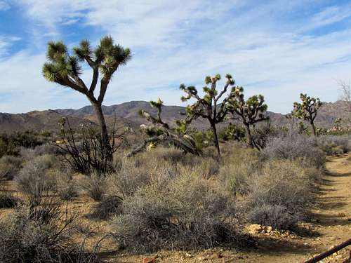
The trail crosses Pinto Basin Road and turns west going over a desert plain where Joshua Trees are scarce to nonexistent.
 |
 |
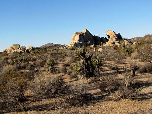
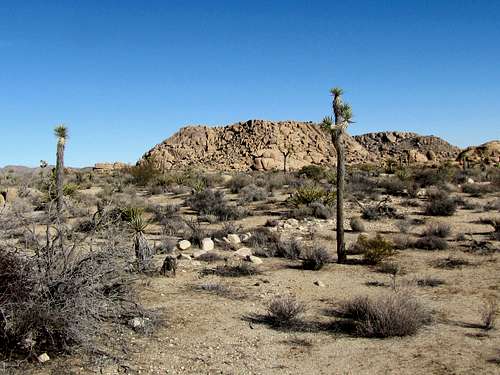
Behind you, the piles of rocks known as Arch Rock can be seen.
 |
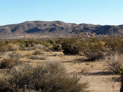 |
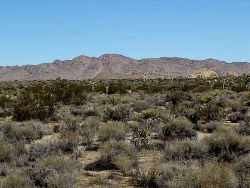
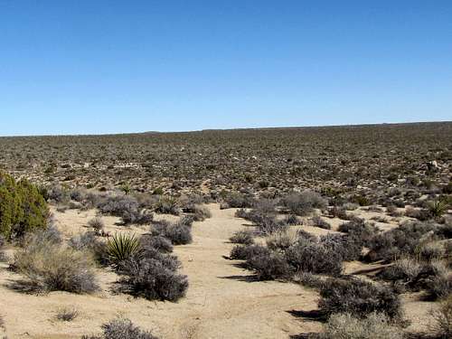
Jumbo Rocks area can be seen to the north.
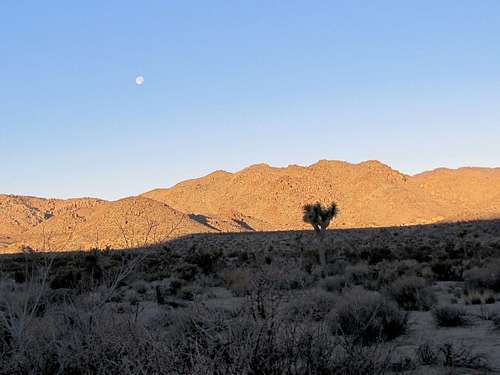
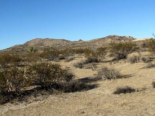
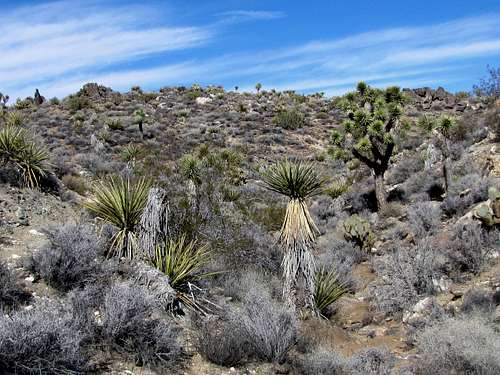
You will continue on the plain slowly going up in elevation. Ryan Mountain comes to view to the distant west.
 |
 |
 |
 Ryan Mountain Ryan Mountain |
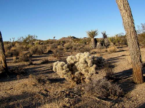
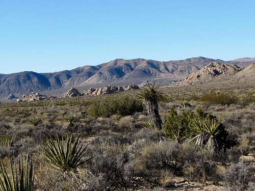
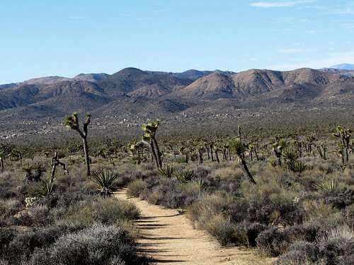
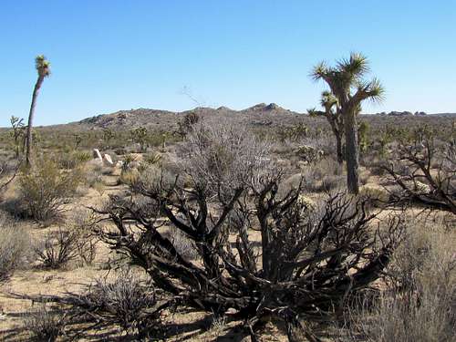
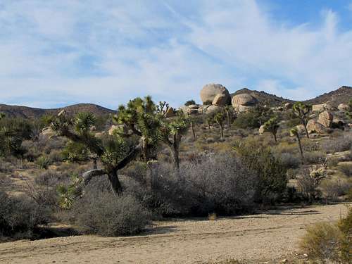
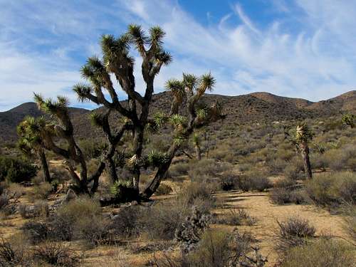
After crossing Geology Tour dirt/4WD Road, the trail continues on the plain toward Ryan Mountain. Joshua Trees begin to appear.
 |
 |
 Ryan Mountain Ryan Mountain |
 |
 |
 |
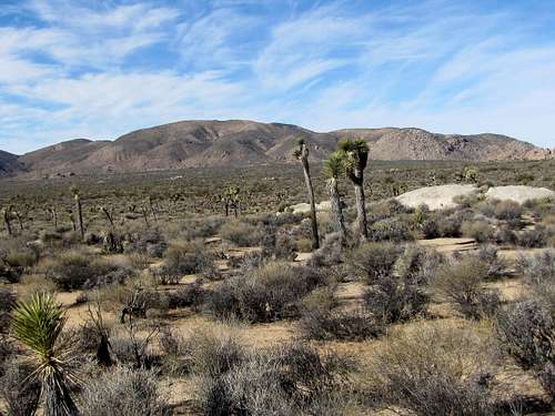
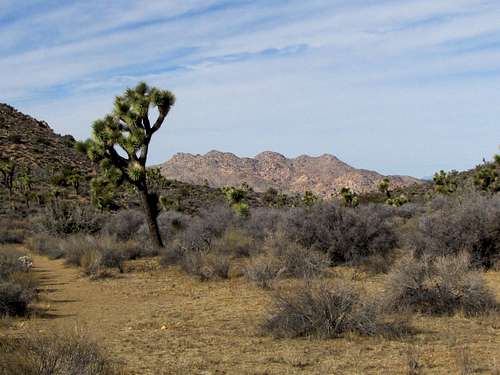
You will eventually reach a dry wash at the southeastern foot of Ryan Mountain.
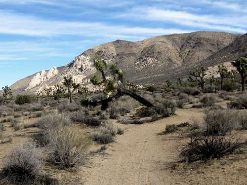
The trail goes into a valley between the mountains going up to a broad high point and then down to reach Ryan Campground.
 |
 |
 |
 |
At the edge of the camp, follow the signs turning left (west) to continue on CRHT.
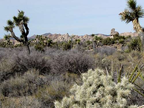
Quail Mountain can now be seen to the west in front of you and Ryan Mountain to the east behind. You will soon cross Keys Views Road and see Juniper Flats parking area.
 Quail Mountain Quail Mountain |
 Ryan Mountain Ryan Mountain |
When to Hike
Summer can be dangerously hot. Spring, fall and winter are ideal.