
Comments
No comments posted yet.
|
|
Trip Report |
|---|---|
|
|
38.83300°N / 120.1017°W |
|
|
Download GPX » View Route on Map |
|
|
Sep 6, 2023 |
|
|
Hiking |
|
|
Summer |
This trip report is about a one-way hike to the summits of Echo Peak, Keiths Dome and Ralston Peak in California’s Desolation Wilderness to the southwest of Lake Tahoe. The starting point is Echo Lake Trailhead and ending point is Mt. Mt. Ralston Trailhead on Route 50.
Hiking Distance: 14.07 miles
Total Ascent: 3480 ft
Total Descent: 4460 ft
Elevation at Echo Lake Trailhead Parking Area: 7490 ft
Elevation at Mt. Ralston Trailhead: 6440 ft
Elevation of Echo Peak: 8895 ft
Elevation of Keiths Dome: 8646 ft
Elevation of Ralston Peak: 9235 ft
September 6, 2023
Kris and I left the vacation rental house in South Lake Tahoe with 2 cars at 5:40 AM (sunrise 6:30 AM). We first left my car at Mt. Ralston Trailhead on Route 50, Then I got into Kris’s car and we both went to Echo Lake Trailhead. We parked at a parking area before reaching the lake itself. A lot of cars were there but we did not see anyone.
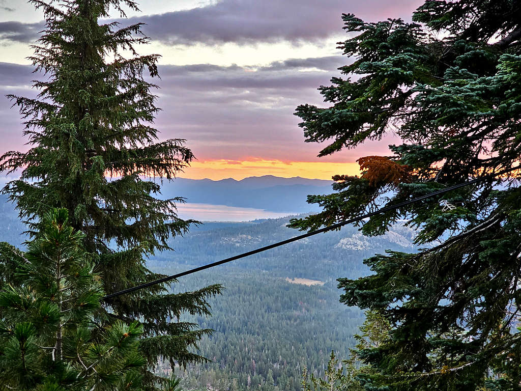
Started our hike at 6:40 AM, elevation 7490 ft. Nice glimpse of Lake Tahoe through the trees.
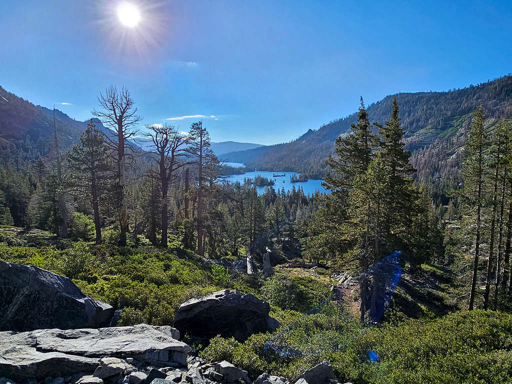
The trail went downhill almost 100 vertical feet to reach Echo Lake Chalet and lower Echo Lake Dam. Again, a lot of cars there but no people.
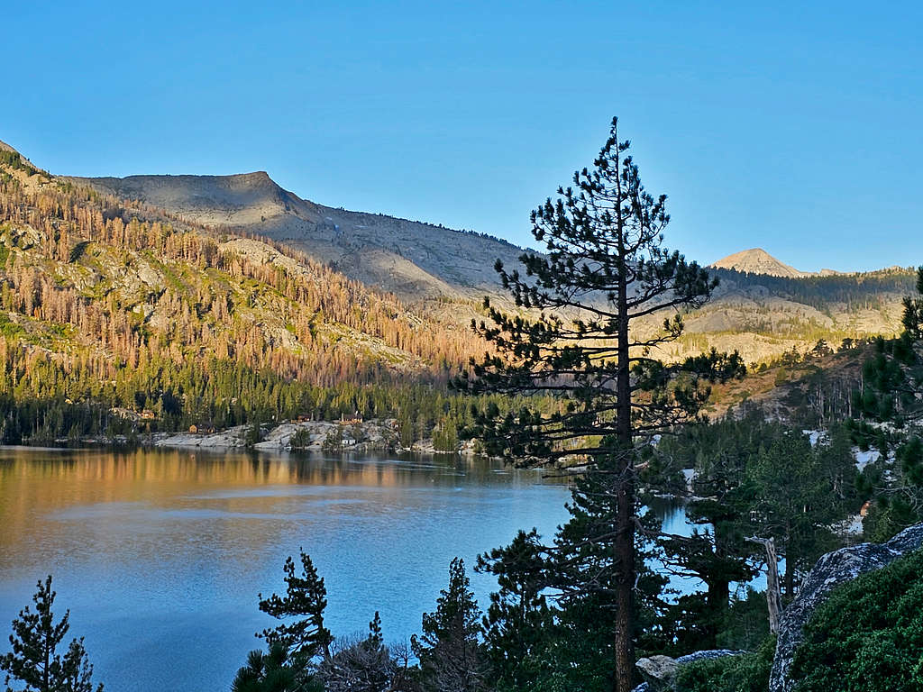
A sign said registration required, $5000 fine, but there were no papers there to register (I later found a kiosk to register at Upper Echo Lake). Got on a trail that went a good 100 feet above the surface of the lake and began to traverse the slopes parallel to the northern shoreline of Lower Echo Lake. We could see many homes on the shore of the lake. It seemed that their only access was by boat.
Looking back east at Lower Echo Lake.
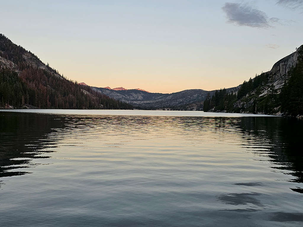
Upper Echo Lake and Ralston Peak.
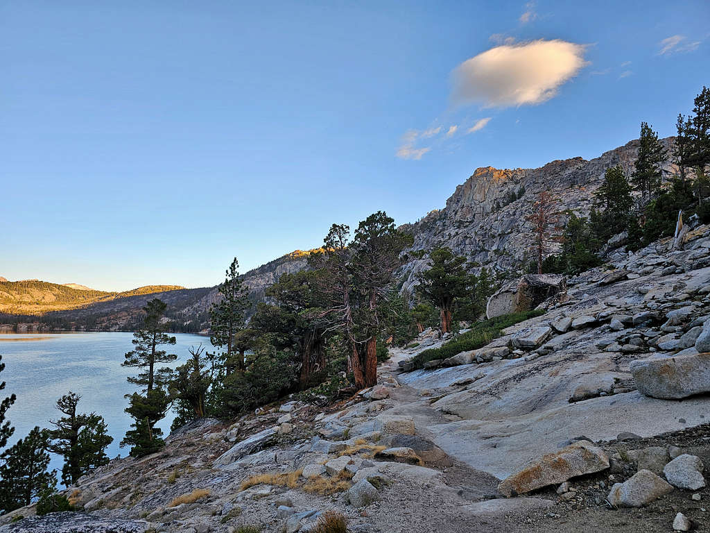
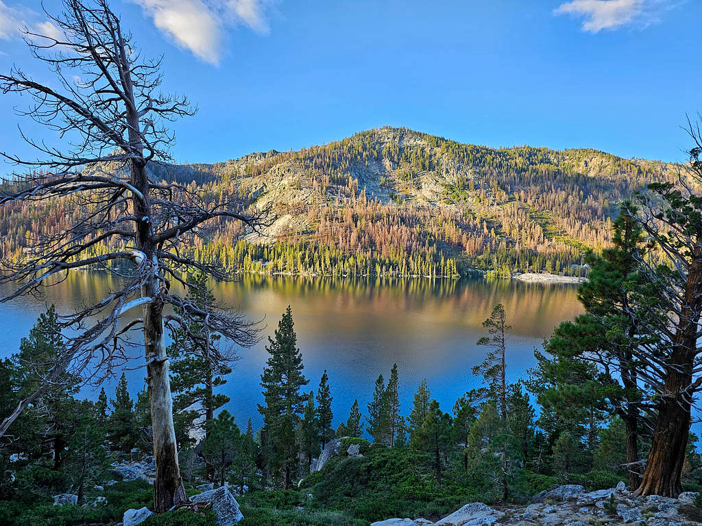
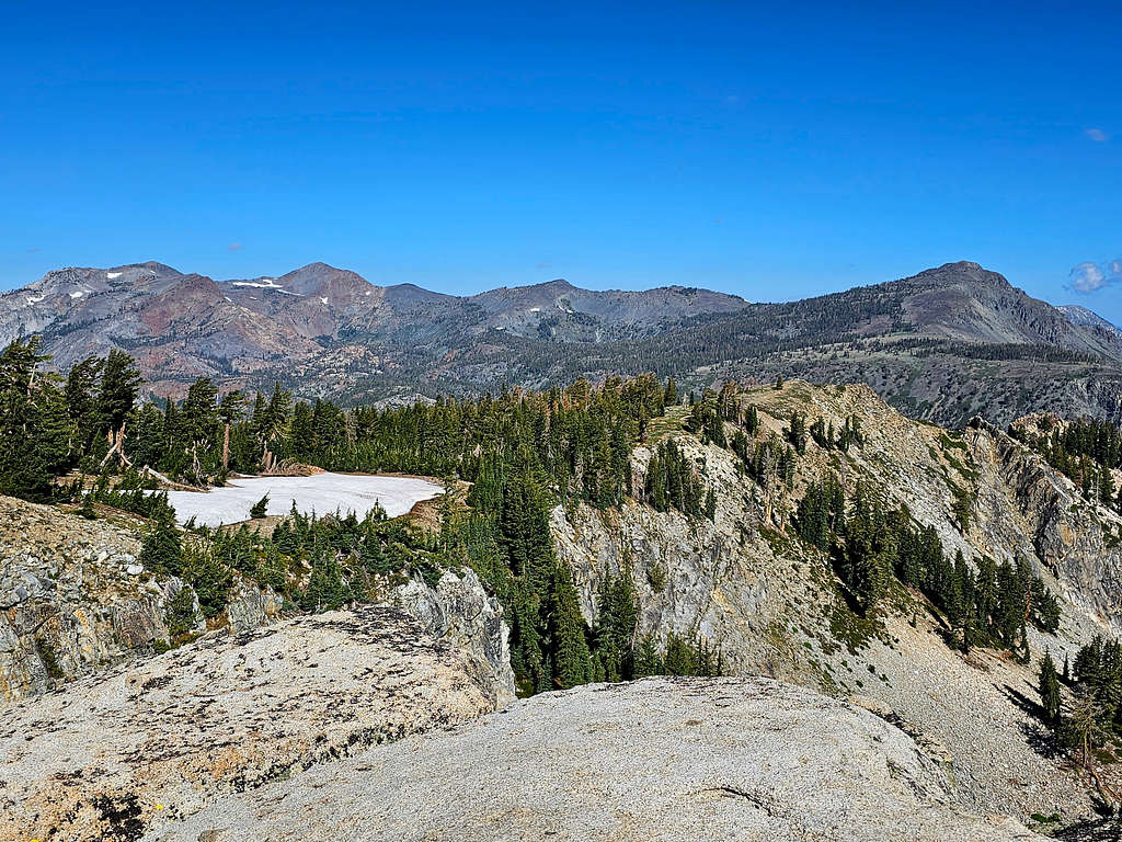
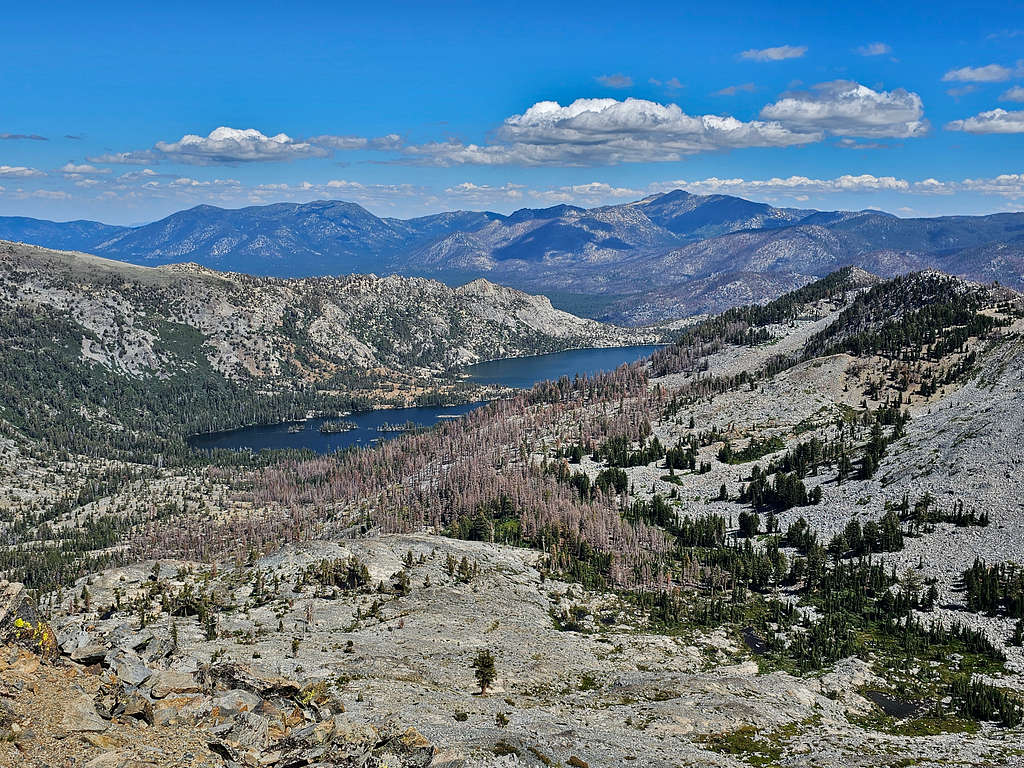
At 8:33 AM, 3.47 miles and 7710 ft elevation, we reached a side trail that was signed for Triangle Lake. Got on that trail and began to follow it uphill. View of Upper and Lower Echo Lakes.
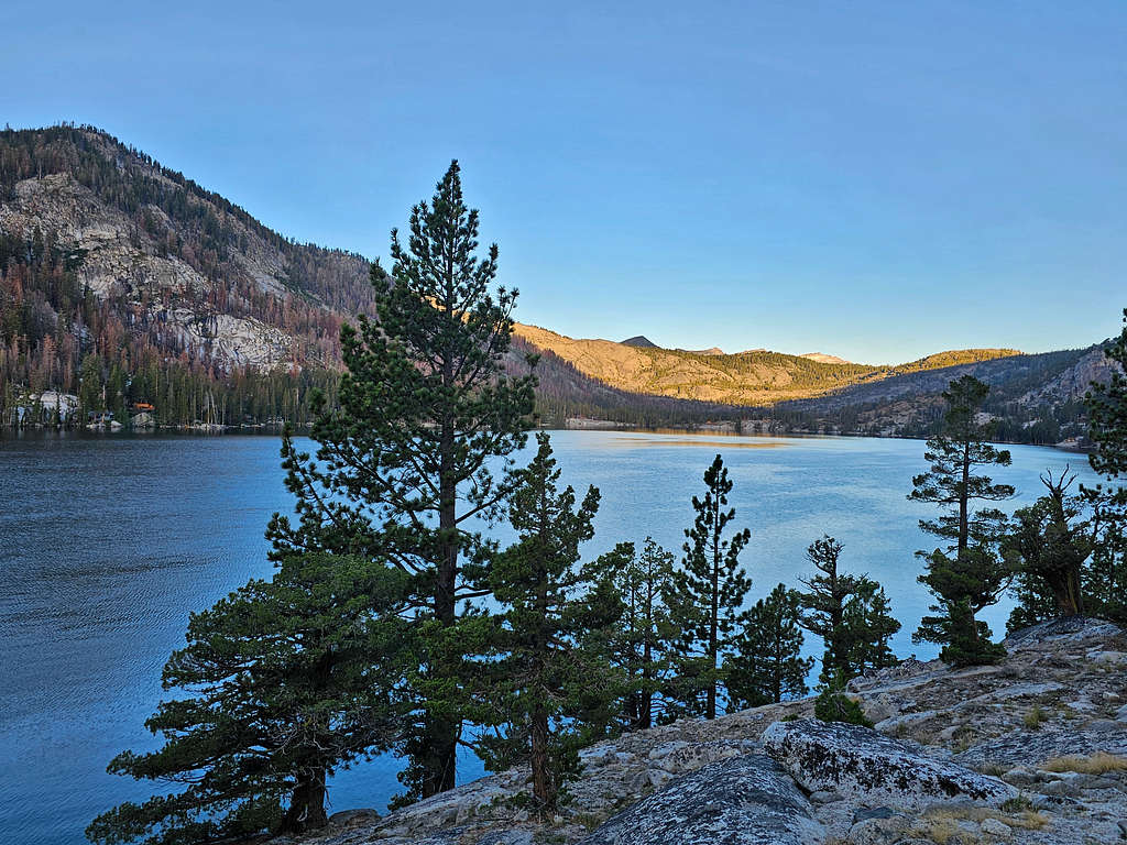
Ralston Peak and Peak 9155 ft.
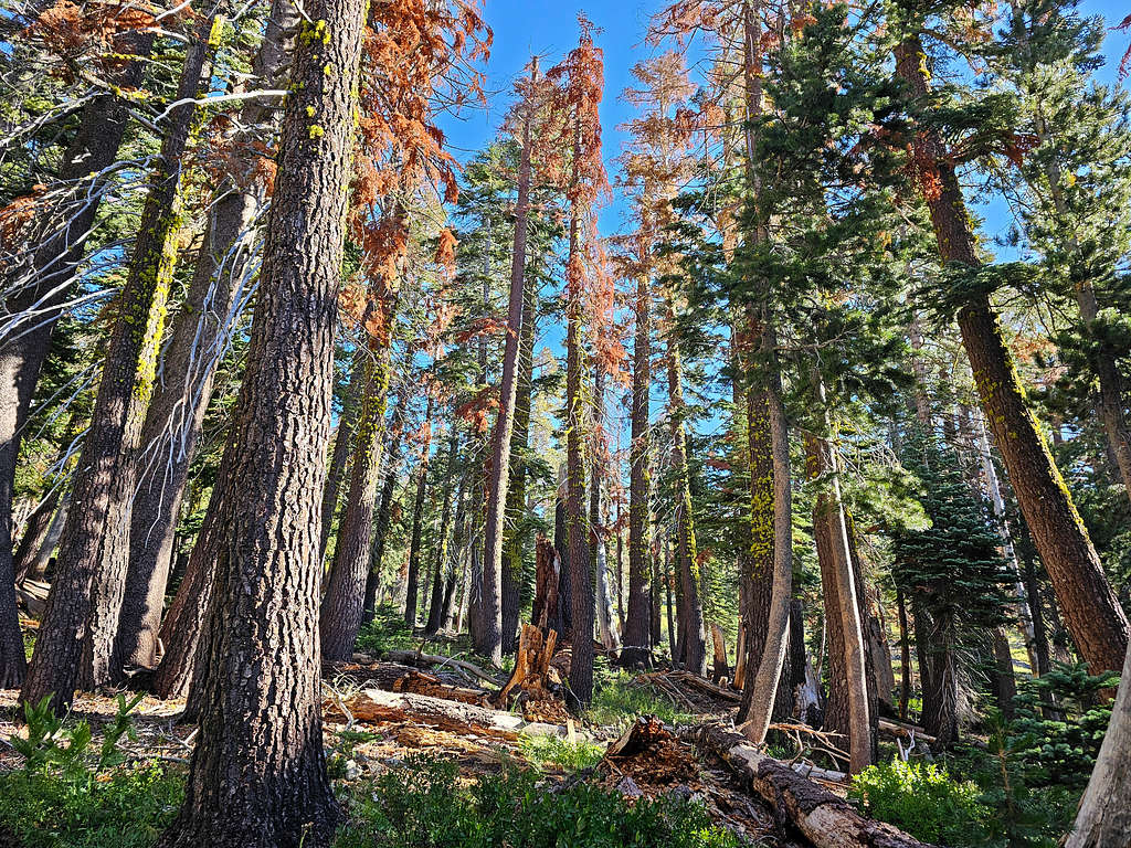
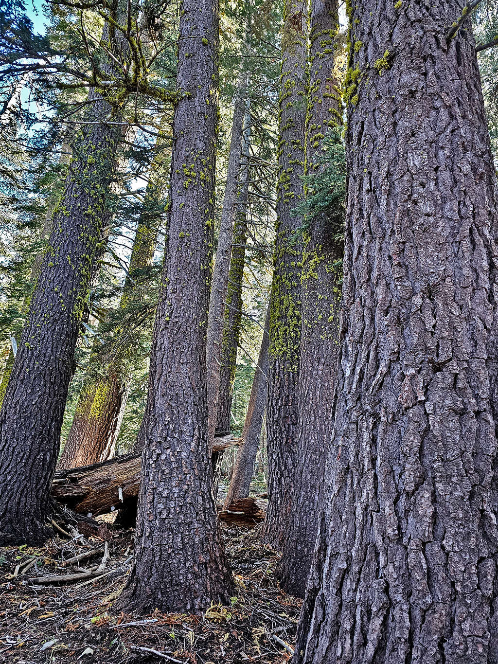
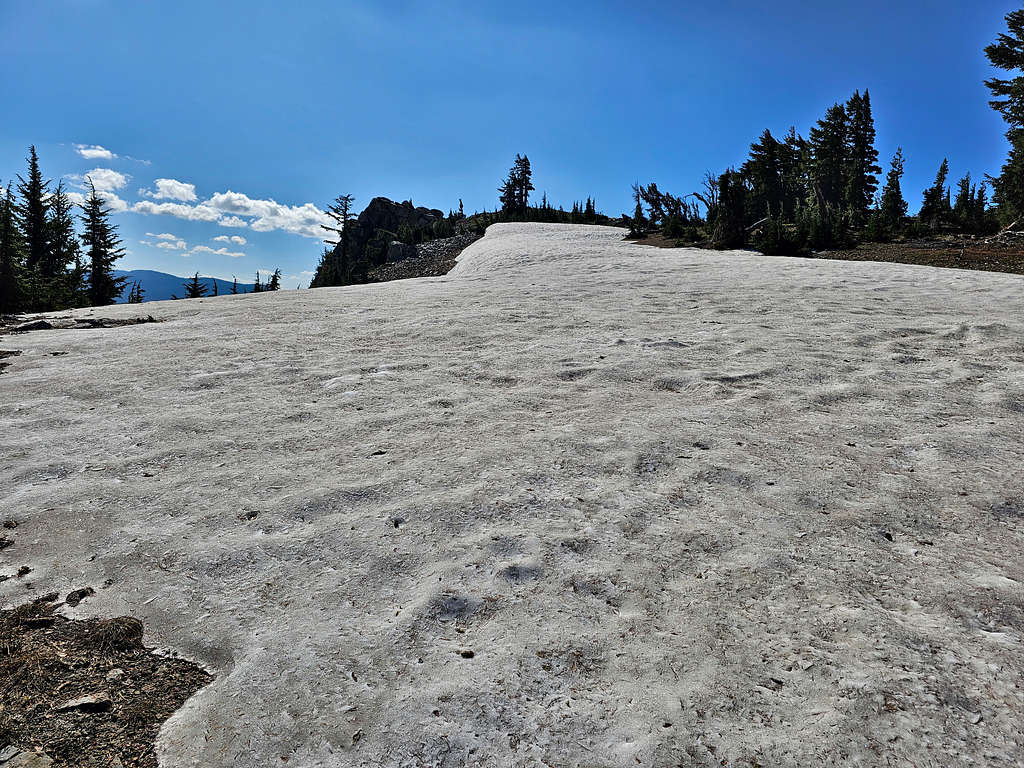
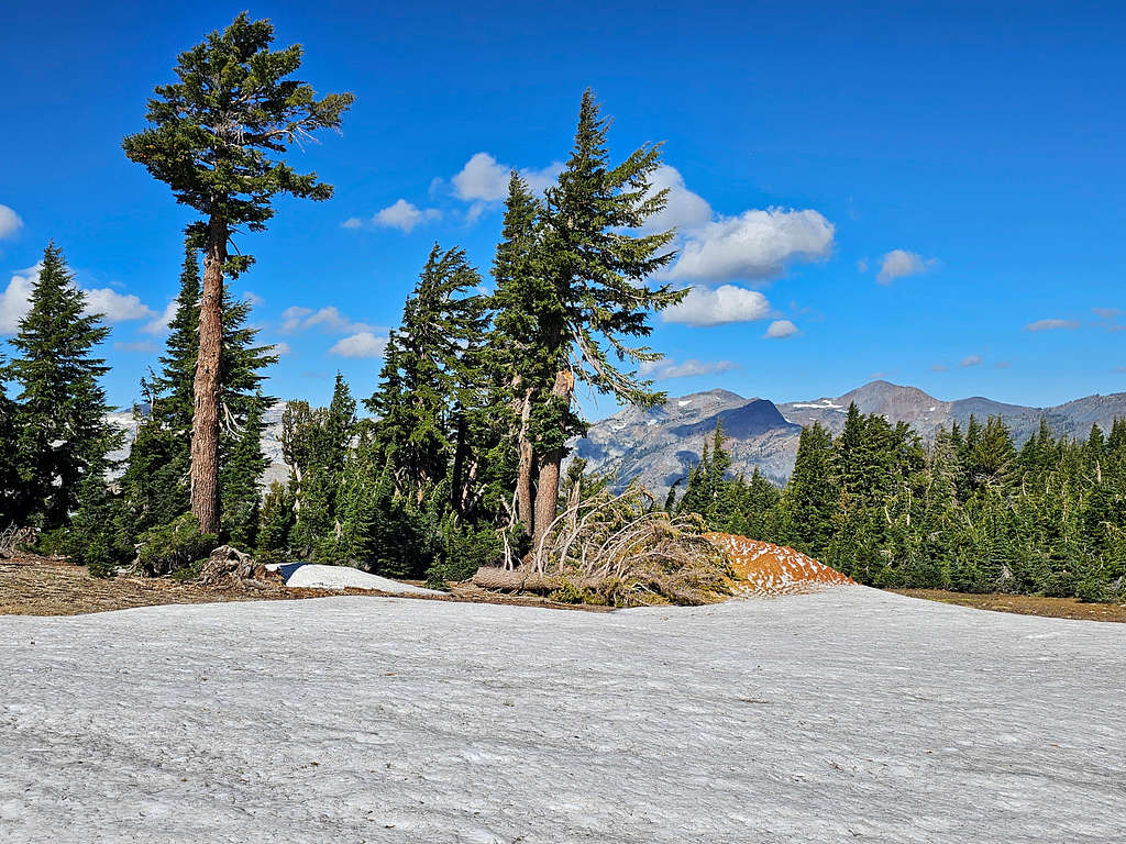
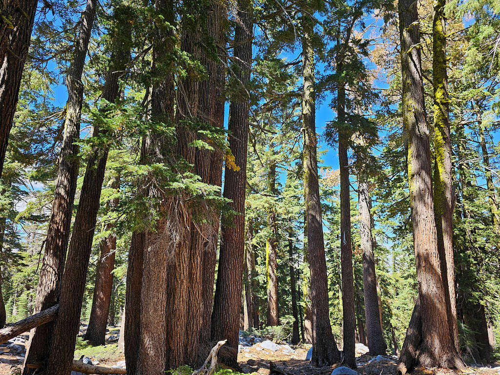
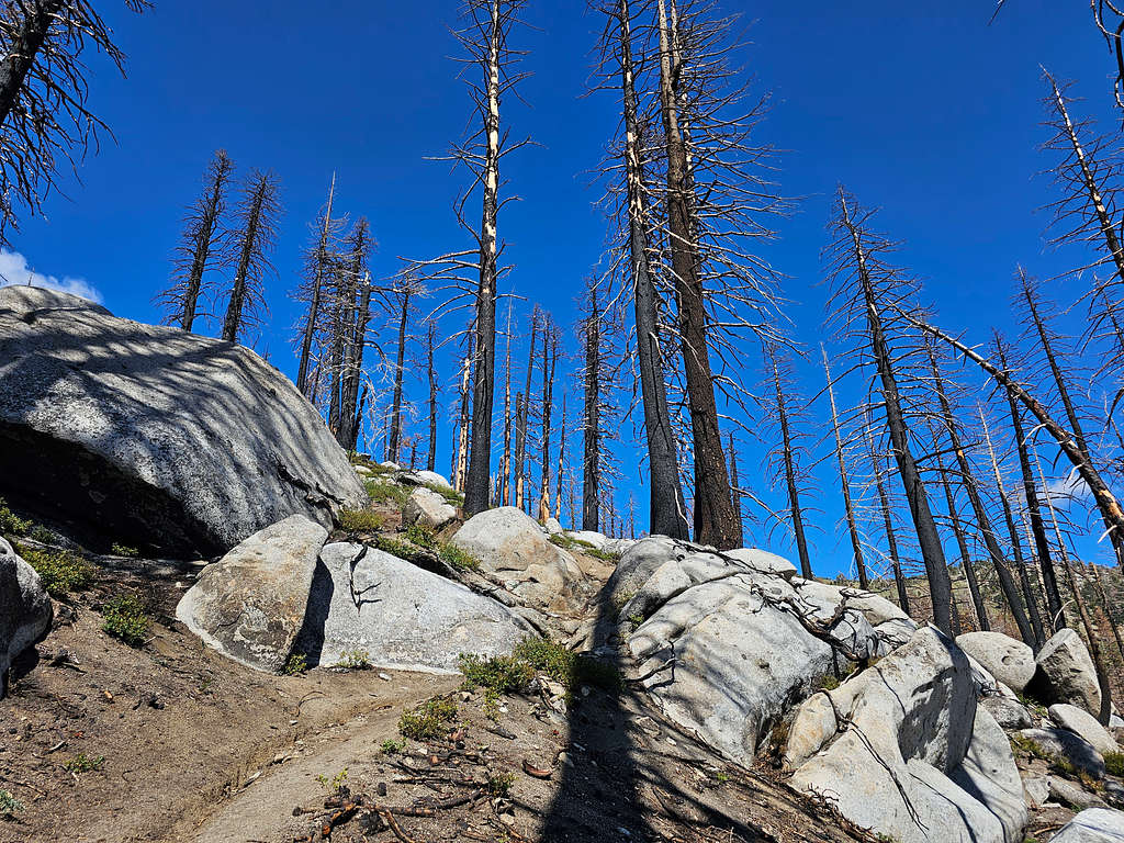
Got into a beautiful forest and continued uphill. At an unsigned 4-way, we turned right (east) and kept going up gentle slopes in an enchanted forest. I really loved being there.
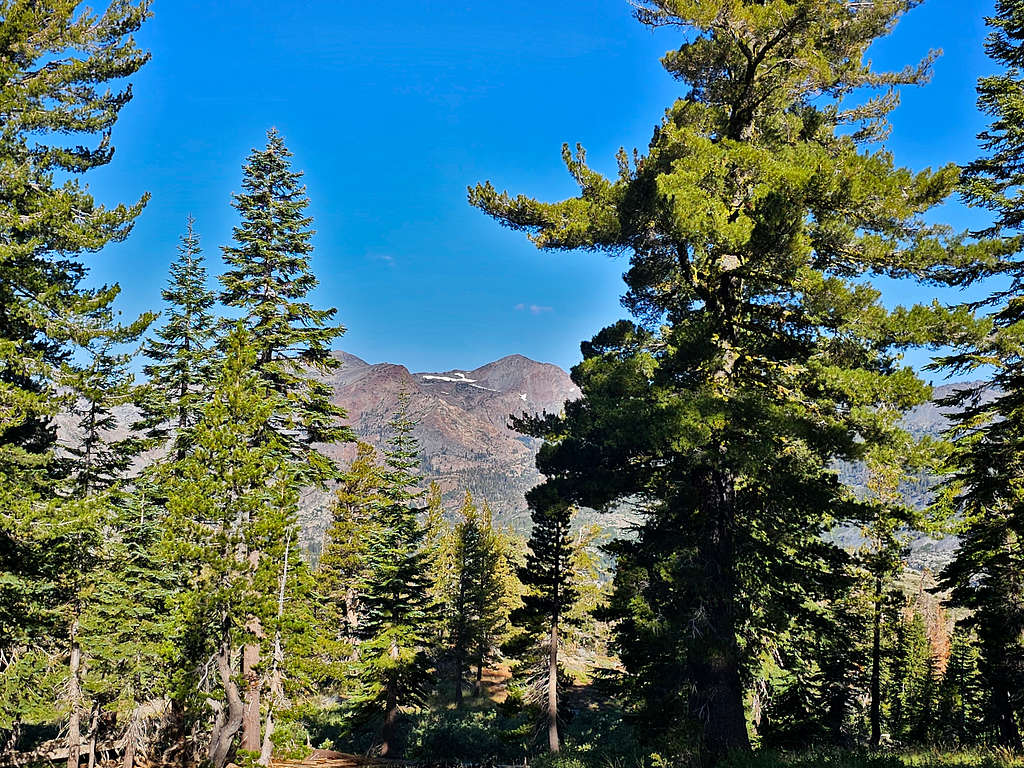
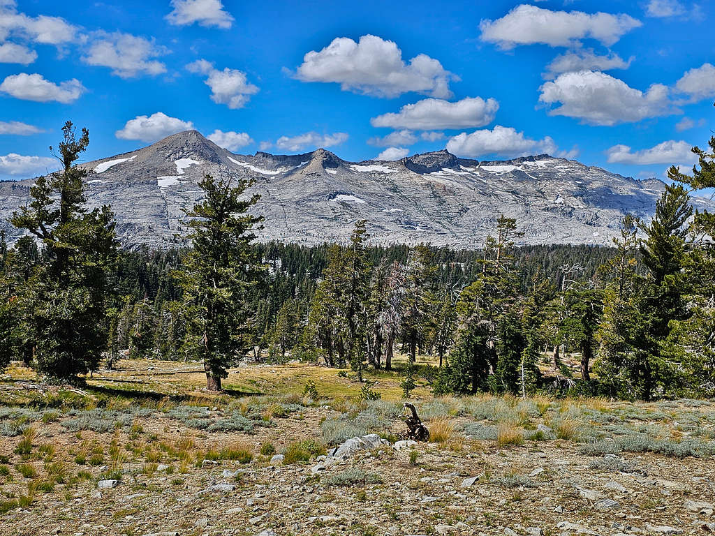
View of Dicks and Jacks Peaks from an opening in the forest.
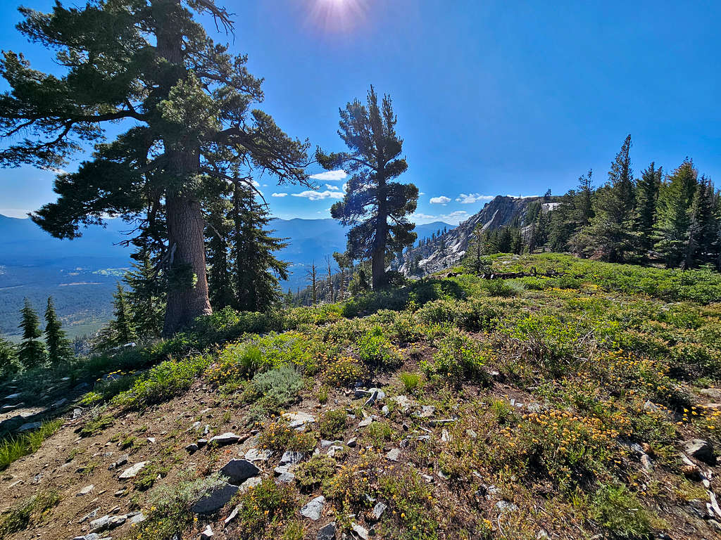
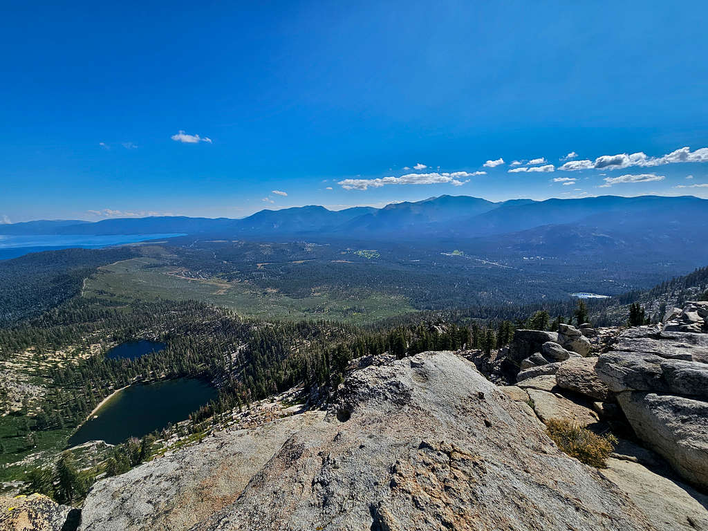
The trail exited the forest and reached the edge of a steep drop-off into Angora Lakes Basin. Turned south and continued toward the summit of Echo Peak.
Going up a series of boulders, we reached the summit of Echo Peak at 10:02 AM, 5.47 miles and 8895 ft elevation.
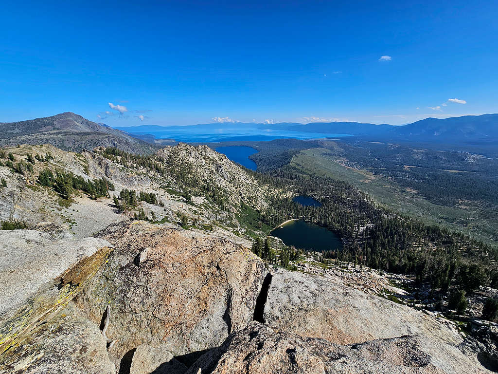
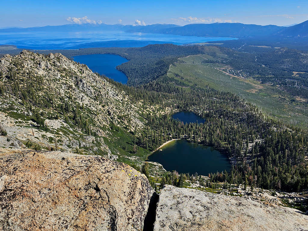
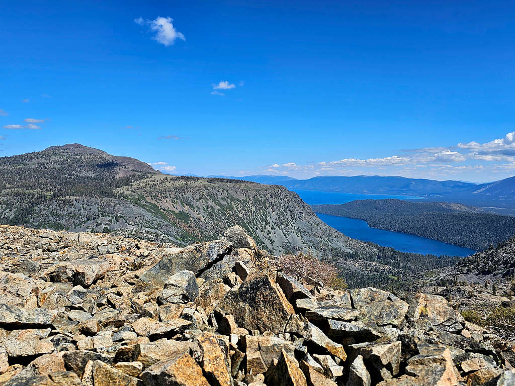
Mt. Tallac, Lake Tahoe, Fallen Leaf Lake and Angora Lakes.
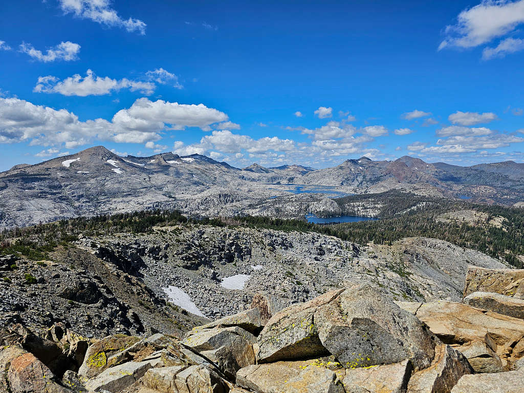
Mt. Tallac, Dicks Peak, Jacks Peak, Mt. Price, Mt. Agassiz and Pyramid Peak.
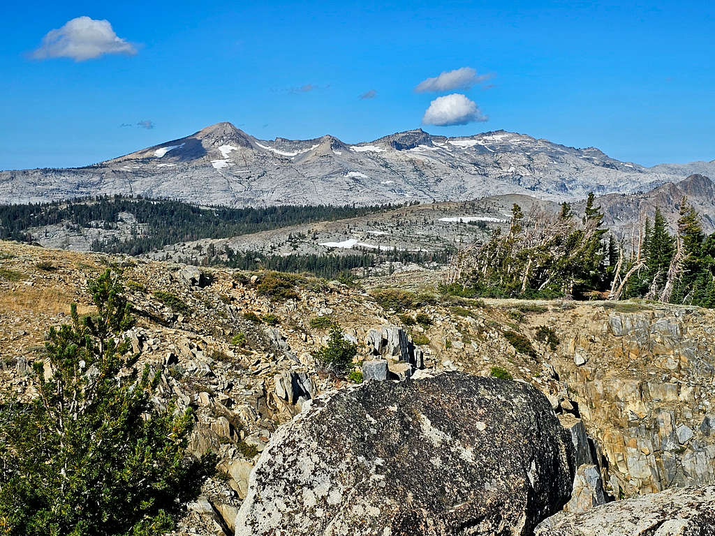
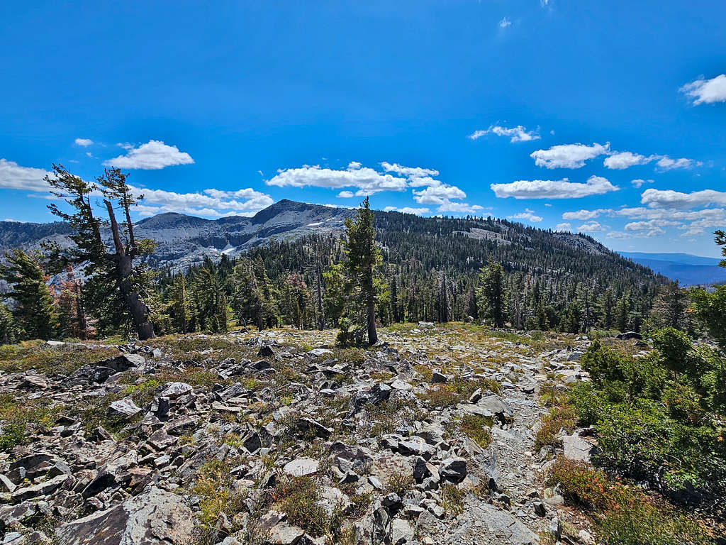
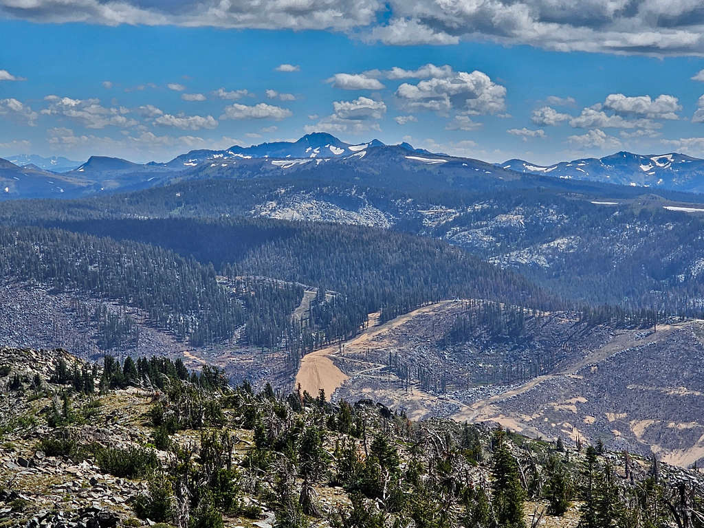
Ralston Peak, Mt. Price, Mt. Agassiz and Pyramid Peak. Ralston looked like a long way away, but I was determined to go there.
Looking southeast.
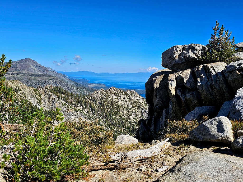
Freel Peak, Monument Peak and Lake Tahoe.
Left at 10:20. Views from below the summit.
Began to retrack our way toward the 4-way. As we were walking in the beautiful forest, I heard something fall. I then saw a paralyzed squirrel in front of me on the trail. It was moving its front legs and tail but could not move its hind legs. Did it severe its spinal cord after the fall? How come it could move its tail? Hip fracture? Up to that moment, I had been enjoying the beautiful scenery but was then suddenly slapped in the face with the fact that nature was cruel and did not care. What were we to do with that poor animal? It was not like we could easily squish it and put it out of its misery. We just had to leave it there and let nature take its cruel course.
At 11:03 AM, 6.87 miles and 8170 ft elevation, we reached the unsigned 4-way again. Kris decided to go back to Echo Lake Trailhead and I headed for Keiths Dome and Mt. Ralston. Kris gave me his hand-held radio to keep in touch with him. I turned out to have cell phone coverage for the whole day so that worked better.
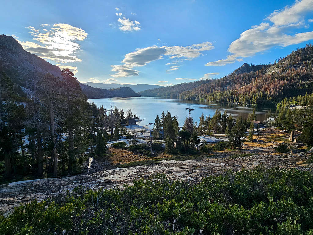
From the 4-way, I continued west on the trail going uphill until I was out of the forest. Looking back at Echo Peak with Upper and Lower Echo Lakes.
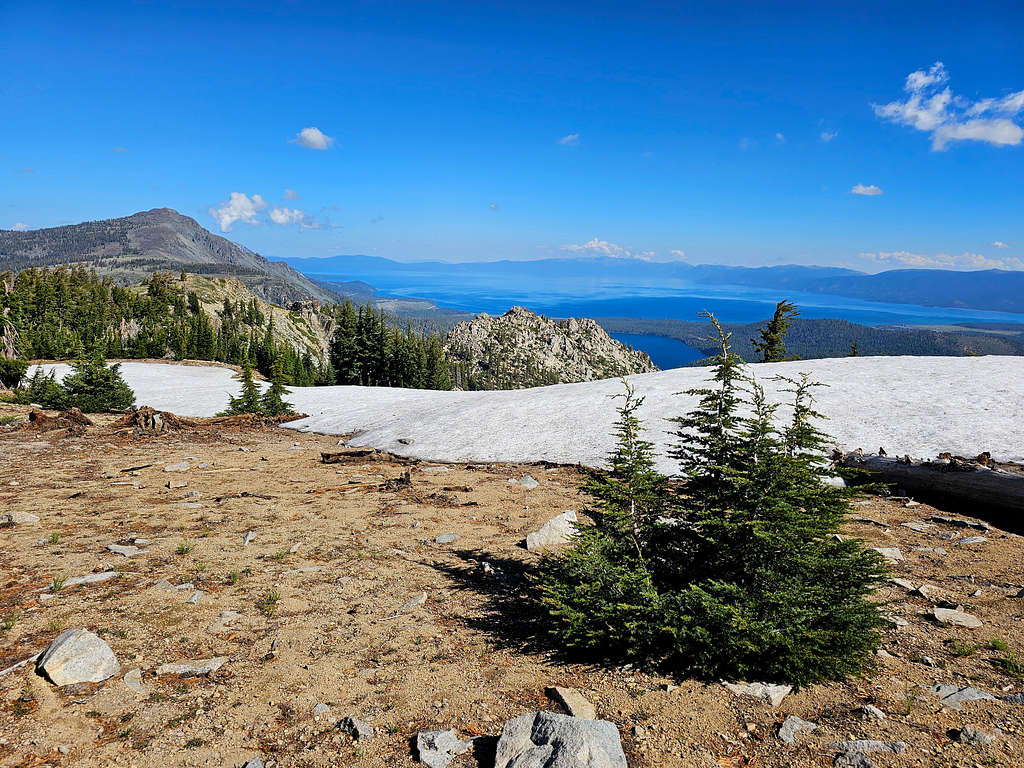
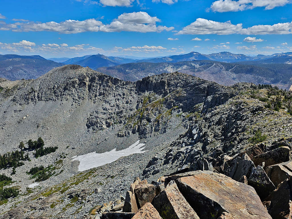
Ralston Peak with Ralston Lake and Tamarack Lake.
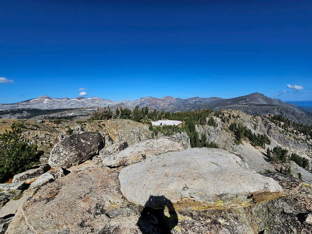
Pyramid Peak, Mt. Agassiz and Mt. Price.
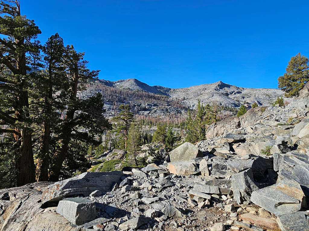
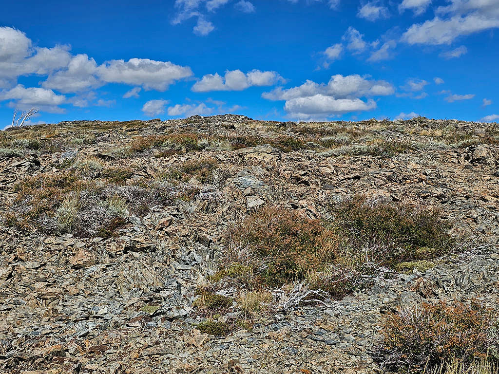
No trail went to the summit of Keiths Dome, but I had put the correct path in my GPS. At an unmarked spot, I left the trail and headed northwest up terrain that was made of crushed rock and was gently sloped.
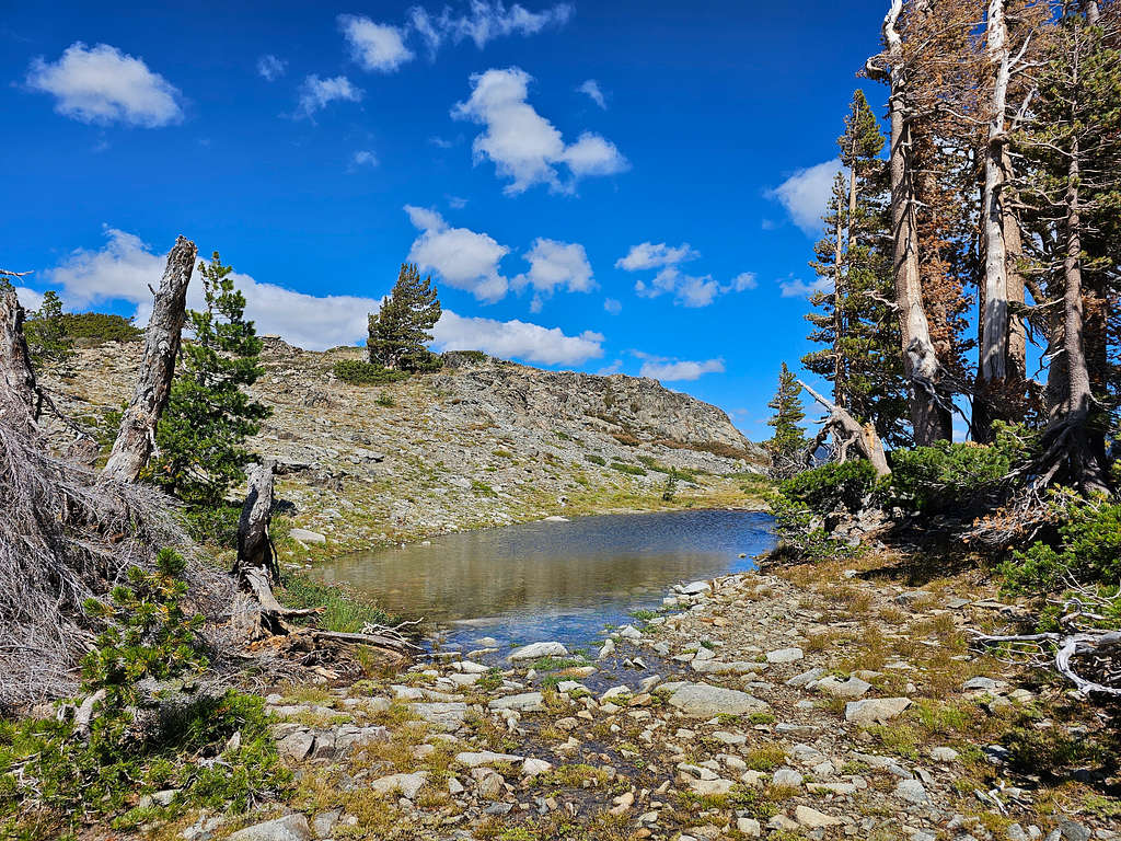
Was surprised to see a tarn and a few trees in that desolate crushed rock environment.
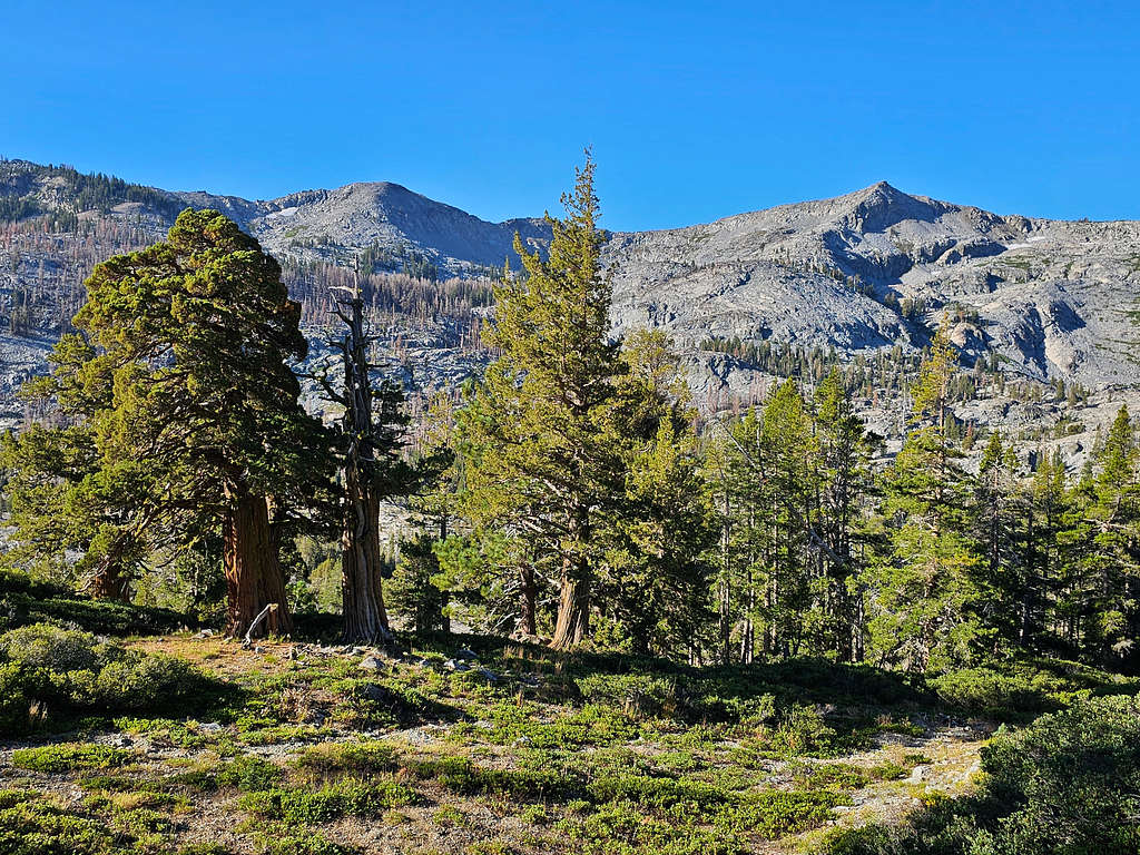
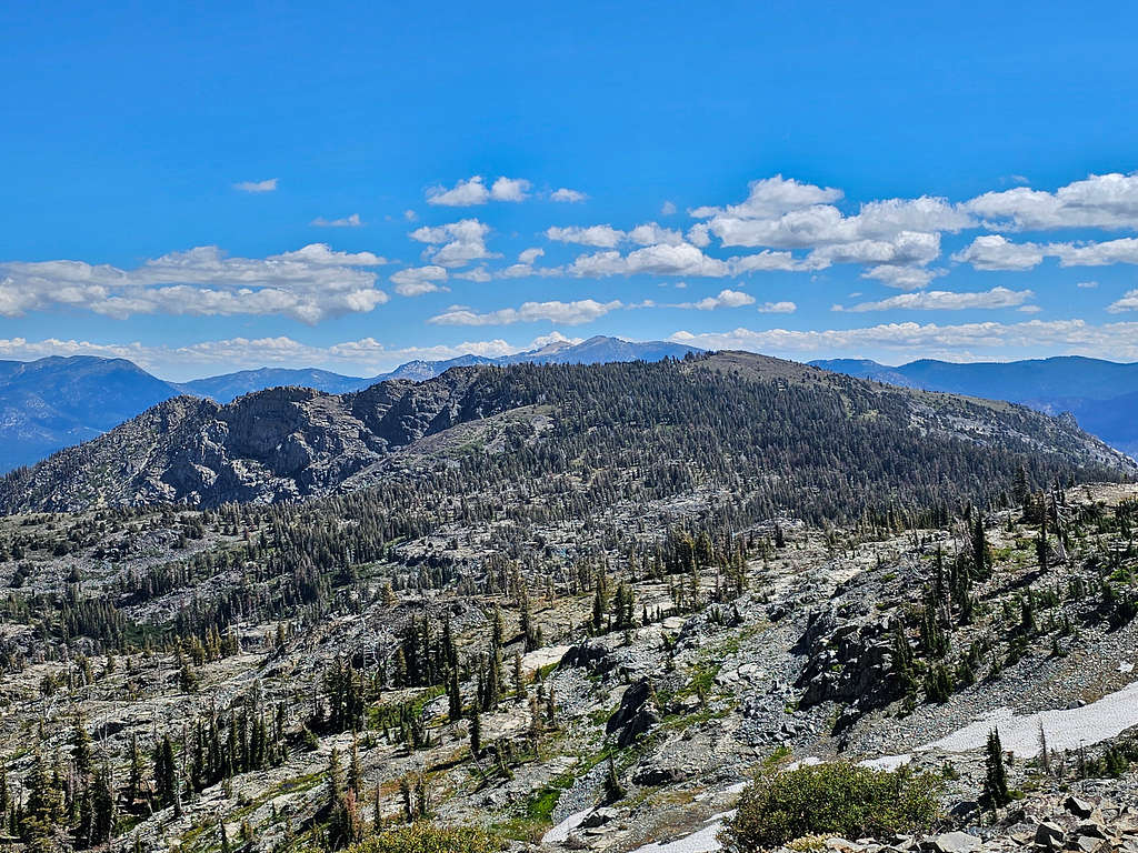
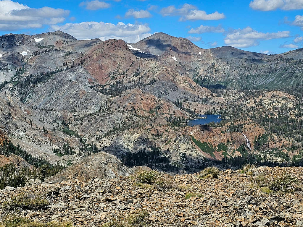
At 11:50 AM, 8.11 miles and 8646 ft, I reached the broad summit of Keiths Dome. Spent 15 minutes there eating and taking pictures. View of Echo Peak in front and Freel Peak in the back.
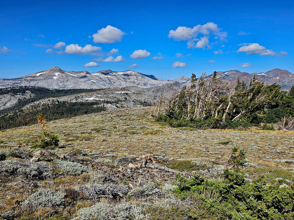
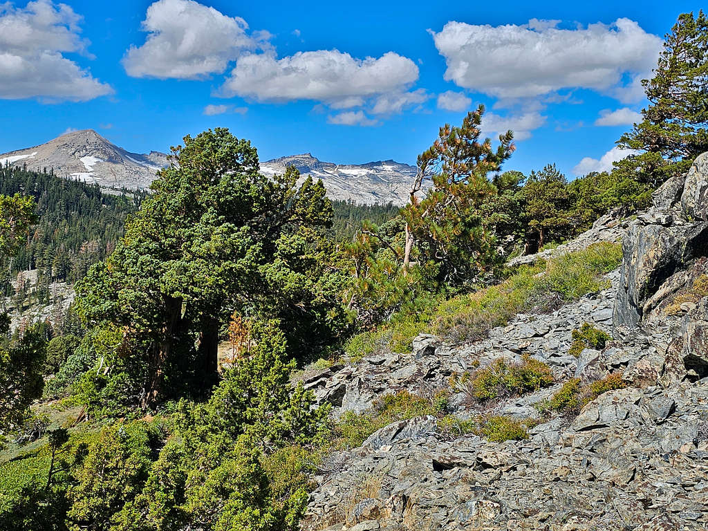
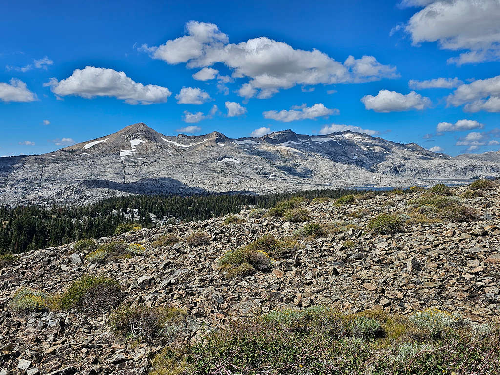
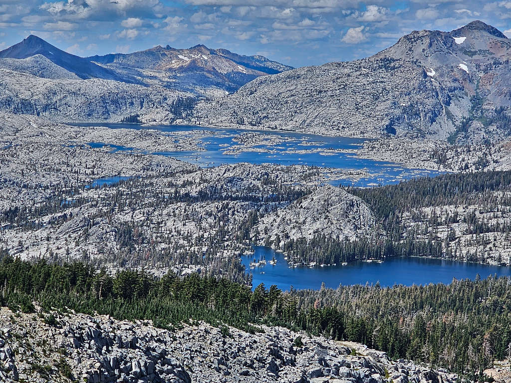
Pyramid Peak, Mt. Agassiz and Mt. Price. A sliver of Aloha Lake seen.
Mt. Tallac, Lake Tahoe and Fallen Leaf Lake.
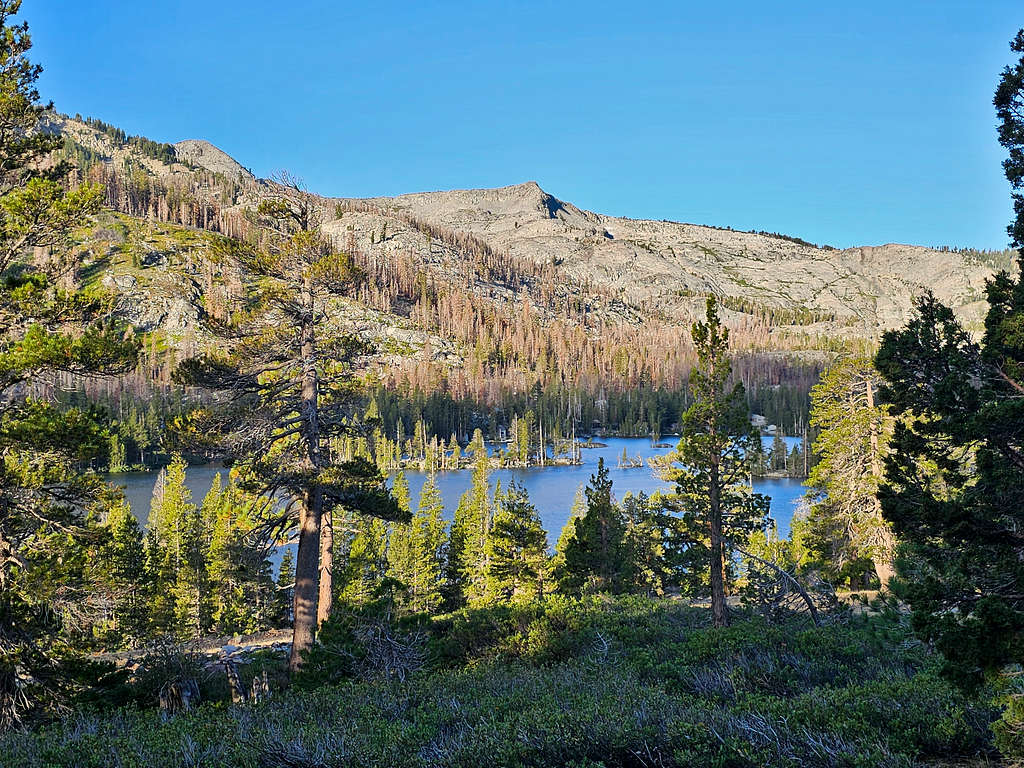
Dicks and jacks Peaks with Susie Lake.
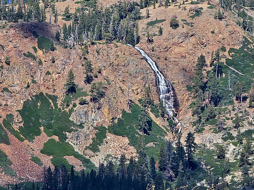
Zoomed view of waterfall below Susie Lake.
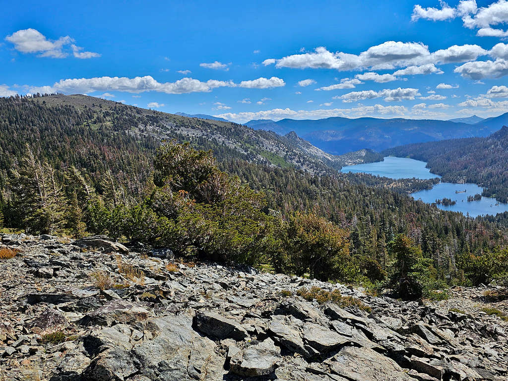
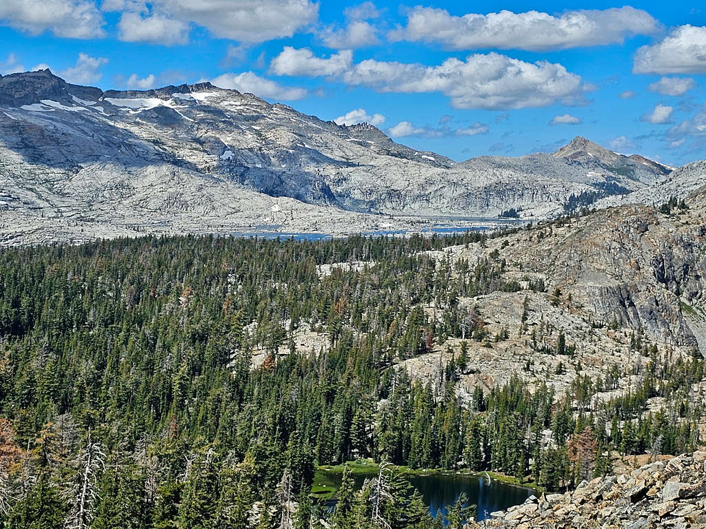
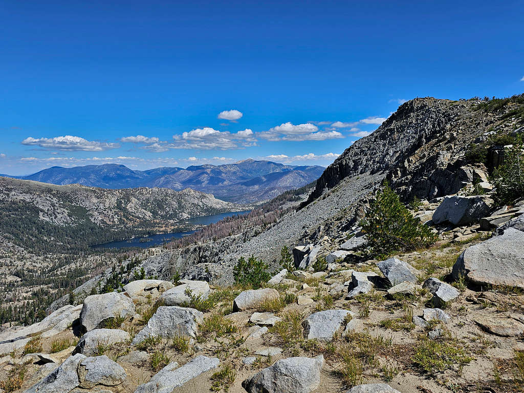
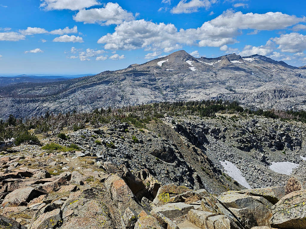
I then began to go down the southwestern slopes of Keiths Dome. Another view of Lake Aloha with Lake Lucile in front.
The ever-present peaks.
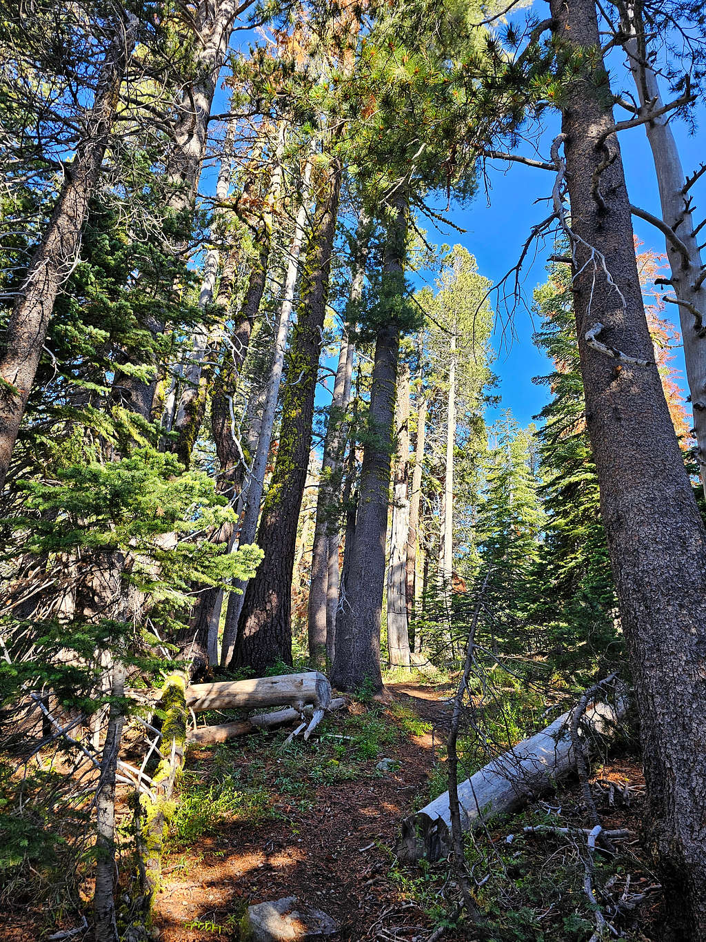
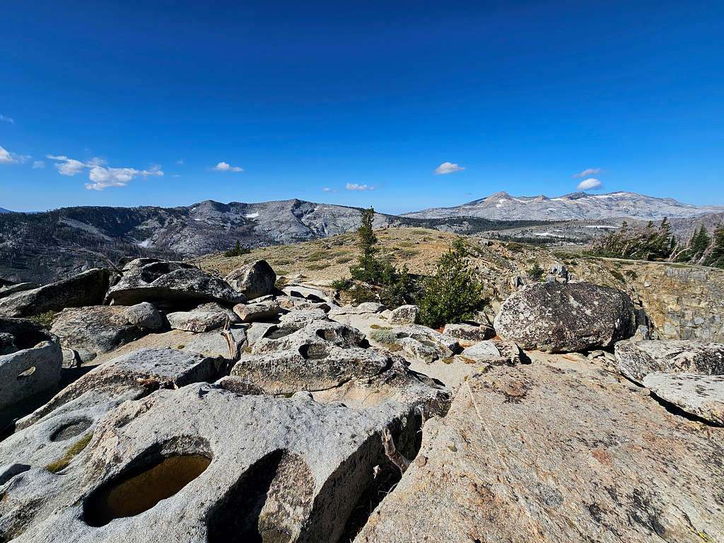
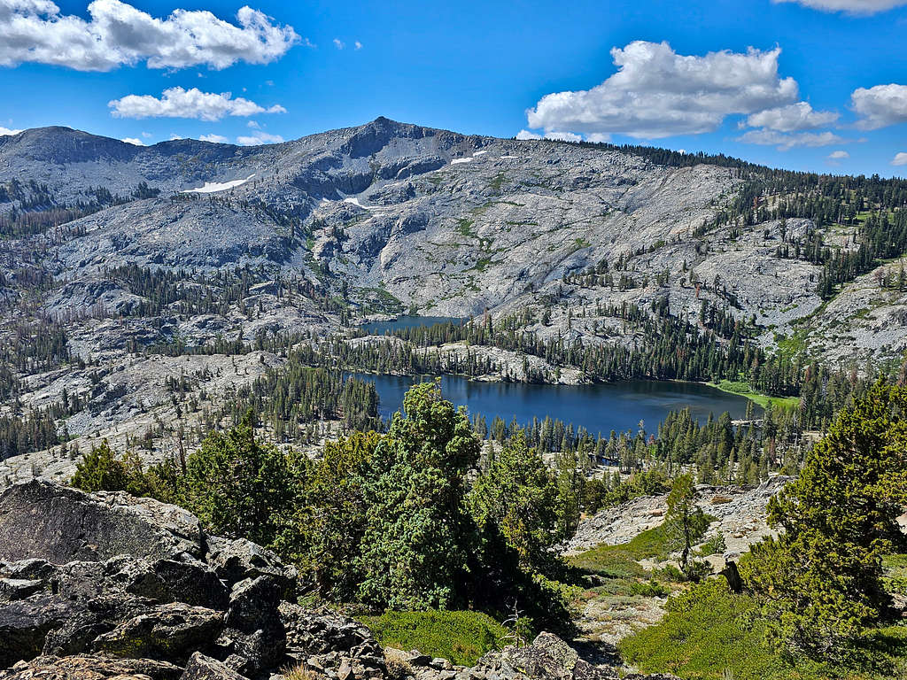
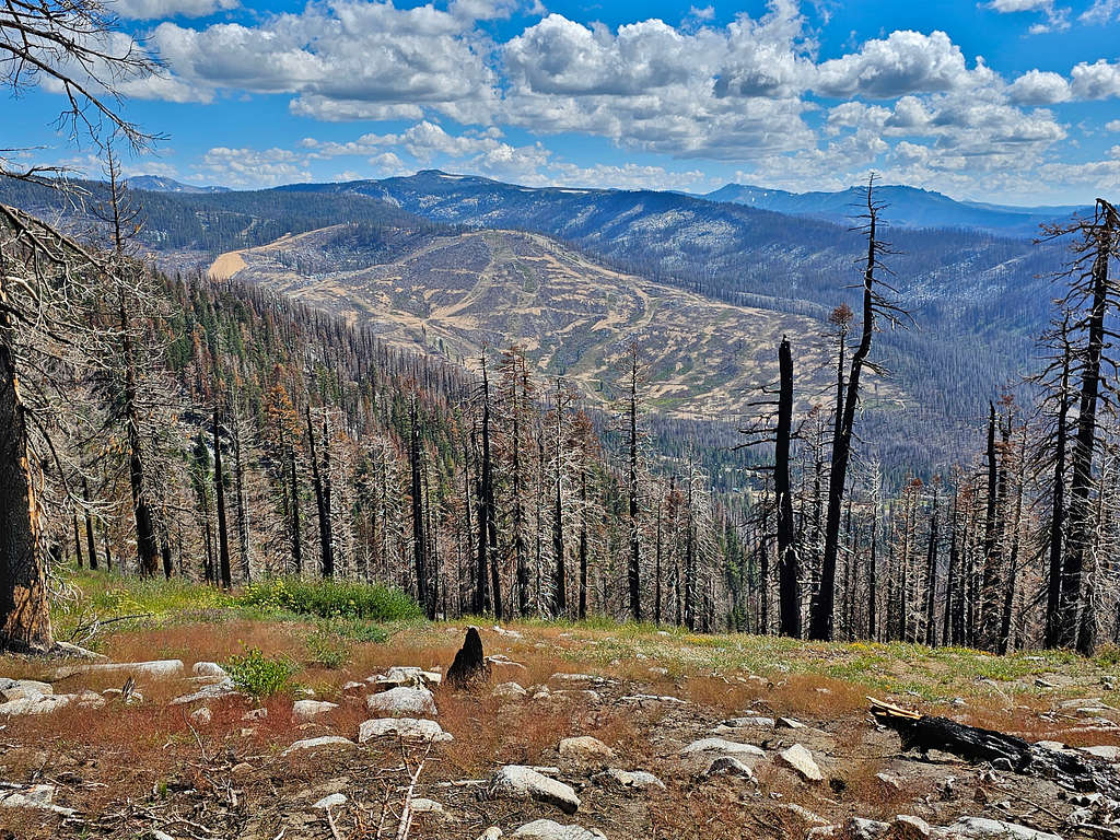
I soon entered a trail-less forest but was easily able to follow the path in my GPS until I reached the trail and began to go toward Ralston peak. Followed the trail south first to the top of an 8620 ft high point. View of Ralston Peak.
Then down to 8430 ft, into a beautiful forest and finally up the slopes of Ralston Peak.
Out of the forest, the summit of Ralston came to view. Could see a few people on top. Was surprised to see sandy ground among the boulders.
As I approached the summit, the people on the summit, who were two groups, were leaving. I asked one of them if they had come up from Route 50 trailhead and if the trail was ok. It was good to hear that there were no nasty surprises toward the end of my long day. Reached the summit of Ralston Peak at 1:50 PM, 10.71 miles and 9235 ft. Had the whole place to myself.
Lake Aloha, Lake of the Woods and Susie Lake. Mt. Tallac far right and Pyramid Peak far left.
Zoomed view of Aloha Lake and Lake of the Woods.
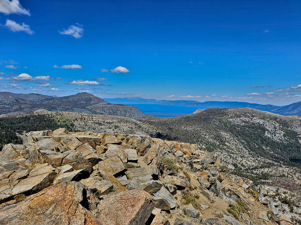
Mt. Tallac and Lake Tahoe. Echo Peak on the right, Keiths Dome on the left.
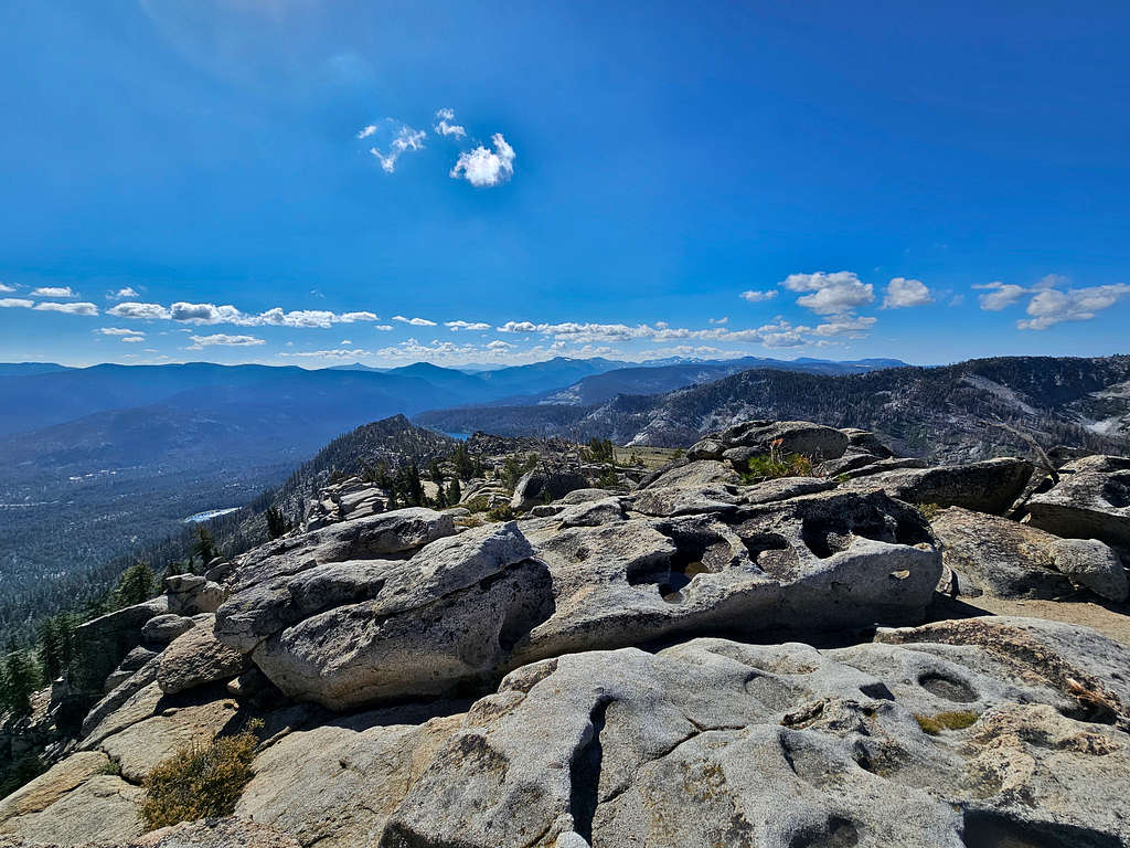
Zoomed view of Lake Tahoe.
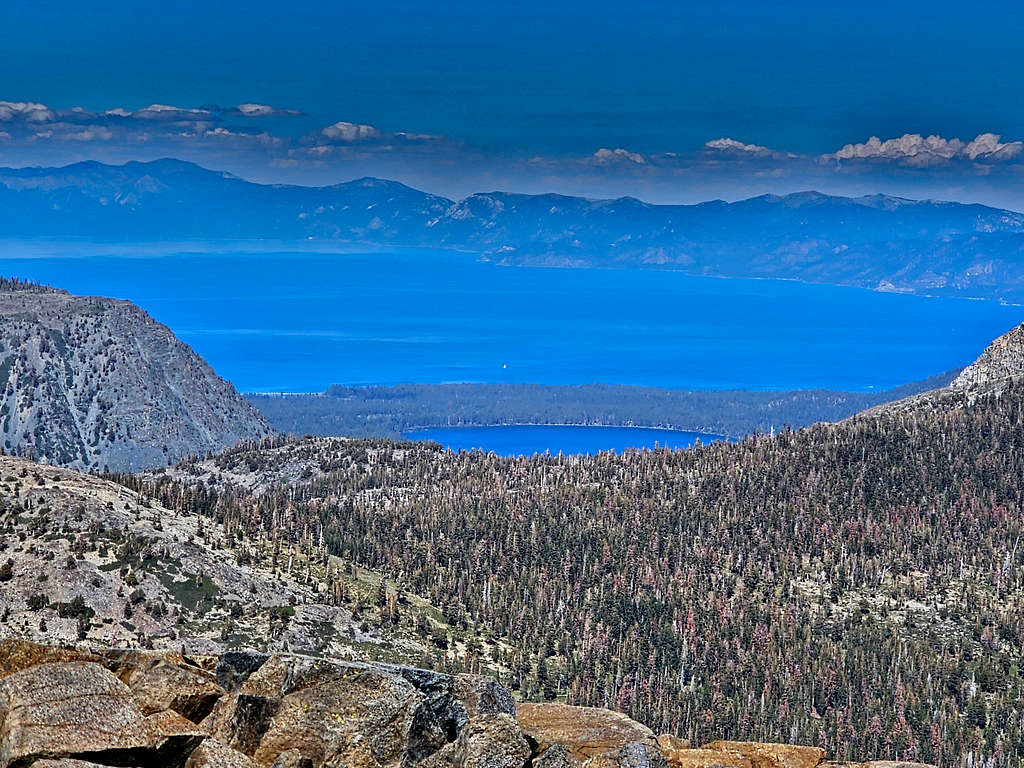
Upper and Lower Echo Lakes, Freel Peak and Monument Peak.
Red Lake Peak and Stevens Peak in the distant right.
Looking southwest to where US Route 50 runs.
Pyramid Peak, Mt. Agassiz and Mt. Price.
Roundtop Peak.
Left after 15 minutes and began to follow the trail down the southern slopes of Mt. Ralston. Had 2800 vertical feet to descend. The path that I was following was apparently a well-established short cut. Once I reached the main trail, those two hikers that I had seen below the summit appeared right behind me. I hate it when I stop to take pictures, other hikers get ahead me, then I end up behind them and they pull over to let me go, I stop to take pictures again and they pass me again and so on. I did not want to be a nuisance so I went fast and took fewer pictures than I would have otherwise taken. Was finally far ahead and did not see them again.
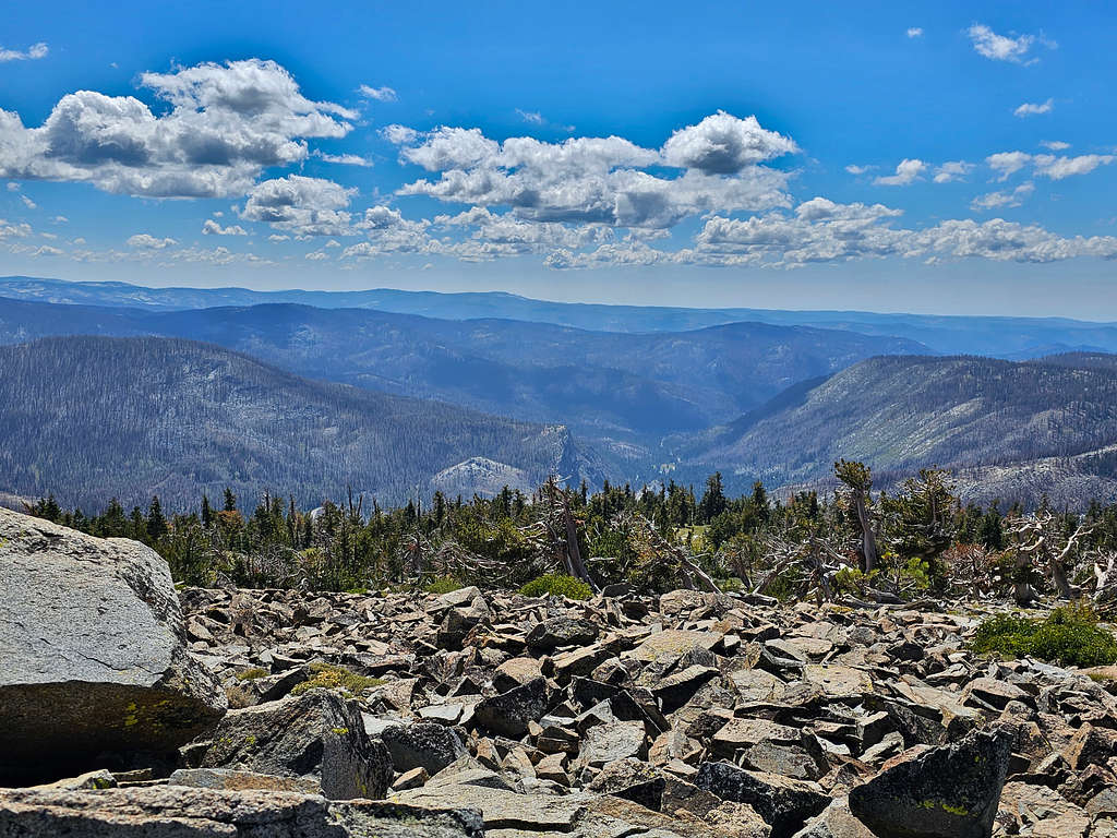
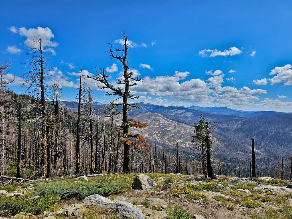
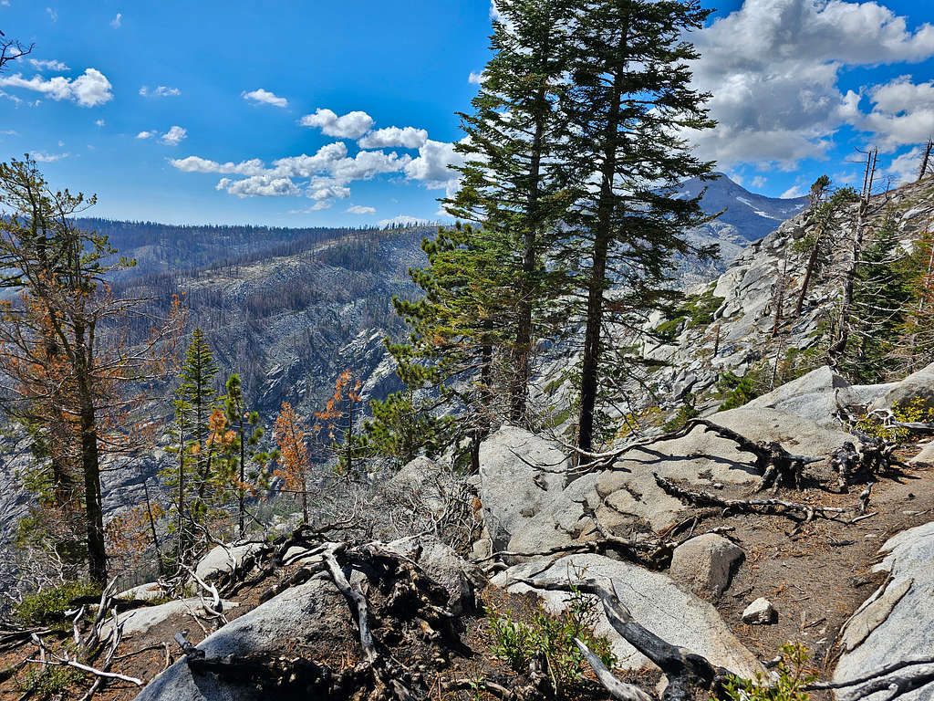
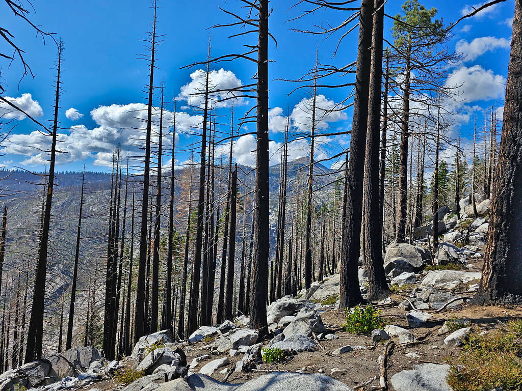
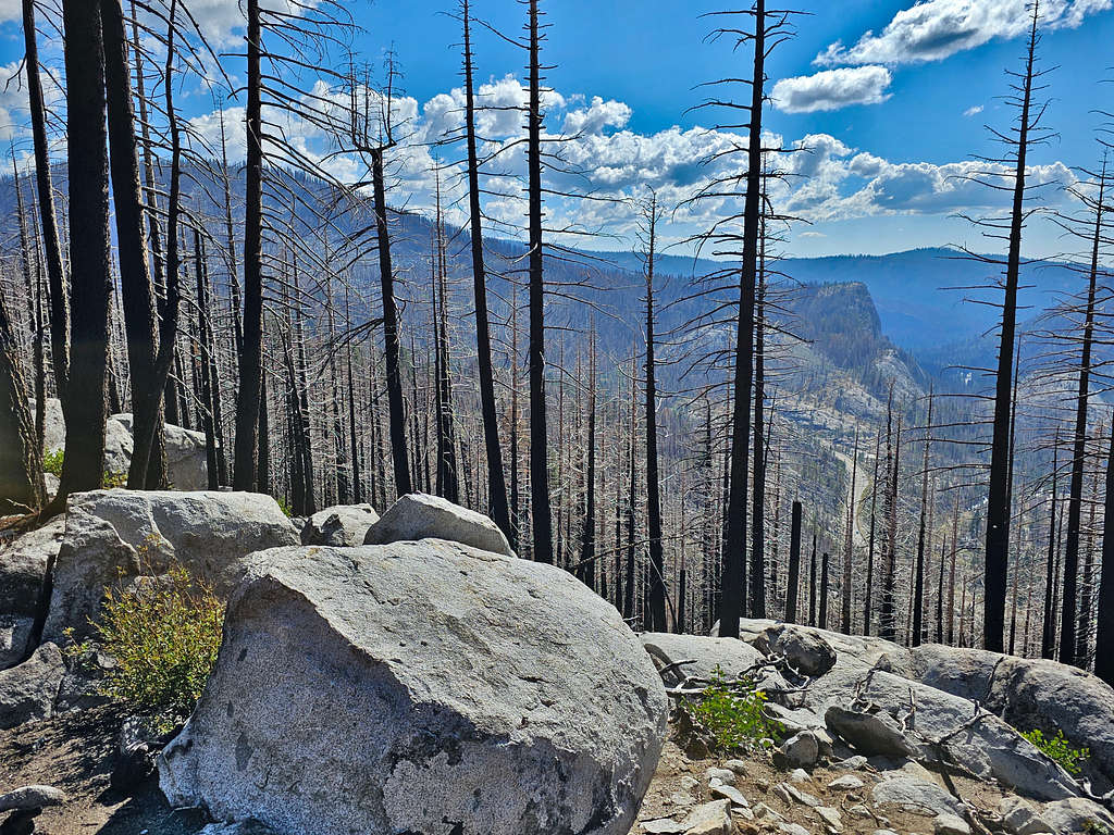
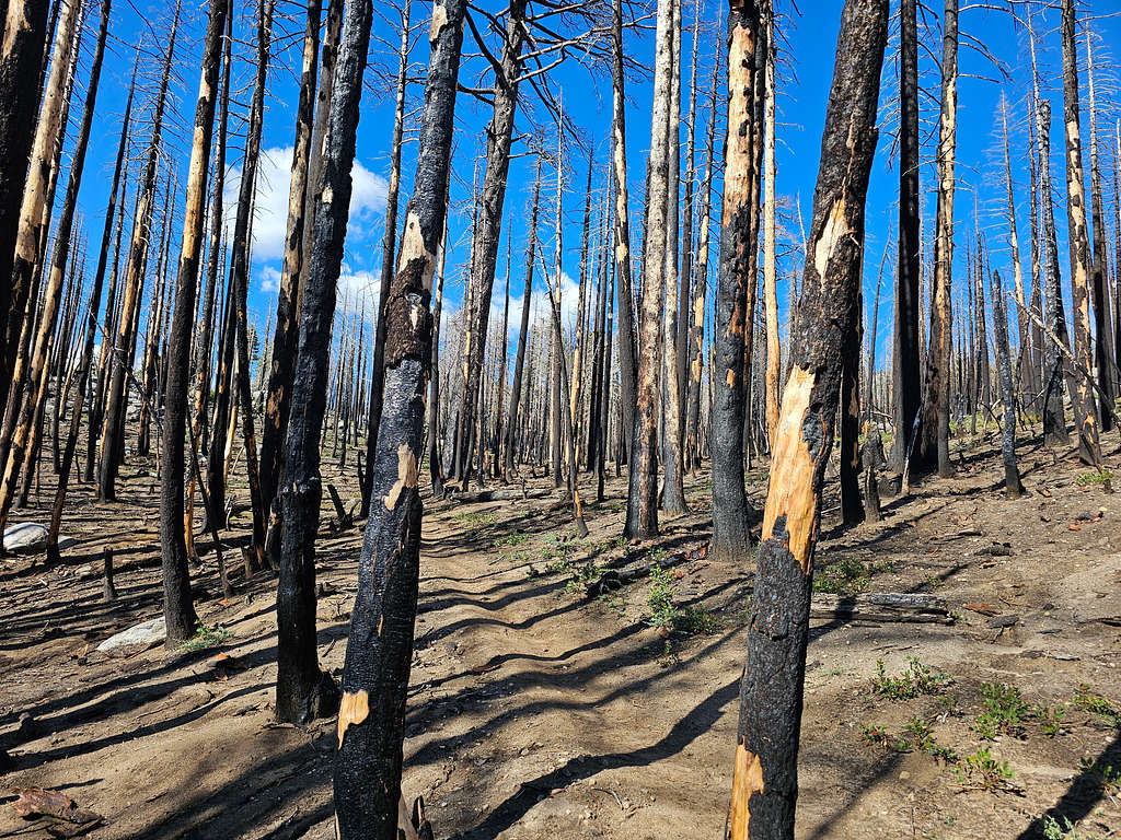
Down to 8800 feet, the forest appeared all burnt apparently in the Caldor Wildfire of 2021.
Last views of Pyramid Peak.
Route 50.
The final stretch before Route 50.
Reached my car at 4:03 PM, 14.07 miles, 6440 ft. What a wonderful hike. I was very happy.