
|
|
Canyon |
|---|---|
|
|
37.77509°N / 111.41925°W |
|
|
Overview
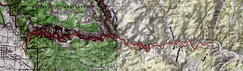
This is a page about a 15.5 mile one way hike in Escalante River Canyon from Route 12 Bridge over the river to the town of Escalante.
Escalante River originates in the highlands of southern Utah and travels 90 river miles east and then southeast to reach Colorado River/Lake Powell. East of the town of Escalante, the river enters a sinuous canyon with colorful sandstone walls. The life giving water of the river creates a lush riparian environment at the bottom of the canyon in sharp contrast to the more arid lands only a few hundred feet away.
A trail starts at the bridge over Escalante River on Utah’s Route 12 and heads 2.2 miles west up the canyon, crossing the river many times, to reach Escalante Natural Bridge and then a natural arch. Beyond the arch, the trail may become difficult to follow in the dense vegetation but you could hike in the river which is usually no more than ankle to mid-calf deep to reach the town of Escalante. Upstream of the junction with Death Hollow, the volume of water in Escalante River will significantly decrease and the river may go completely dry for a few miles. At times of snow melt or heavy rain, the river can swell to many times its usual size making it dangerous to enter the canyon, check with Escalante Interagency Visitor Center for up to date information.
It took me 7 hours to do the one way hike. Walking in the river on a hot early September day was quite pleasant. In cold weather, walking in the river will obviously not be possible.
Getting there
Route 12 Bridge Trailhead:
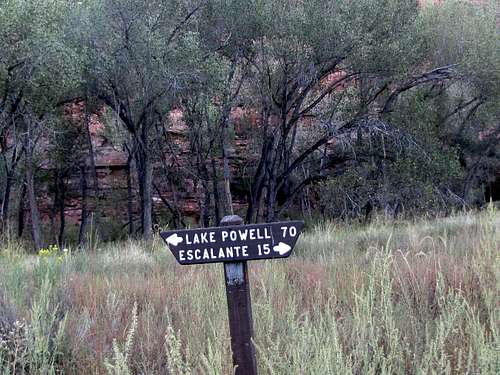
From the town of Escalante, drive 14 miles east on Route 12 to the bridge over Escalante River. Trailhead parking is on the far side of the river.
Escalante Town Trailhead:
Drive to the east end of Escalante on Route 12. Just to the east of the high school, turn north onto Cemetery Road and make an almost immediate right. Drive the dirt road east and then turn north. In less than a mile, you will reach the parking area.
Route
My GPS had poor signal connection in the canyon. Distances are per the guidebook below.
At the trailhead under the bridge on Route 12, you will see this sign. Turn right and follow the trail upstream. The trail will soon cross the river.
 Turn right
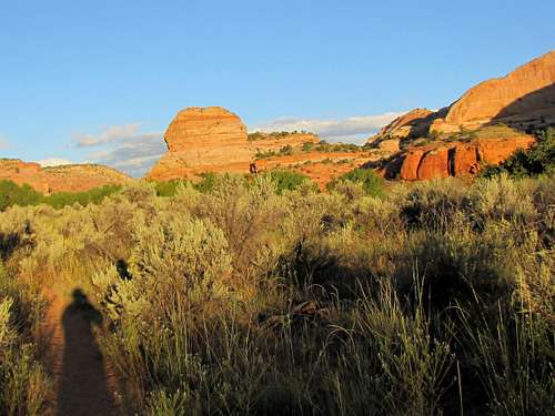
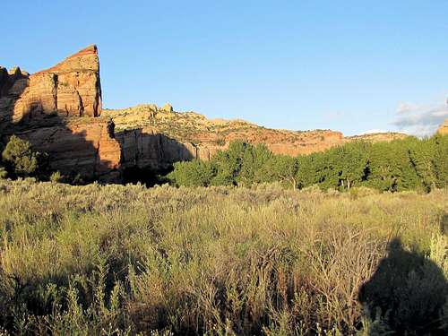
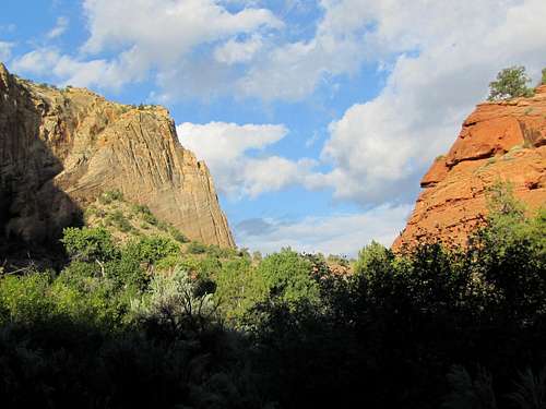
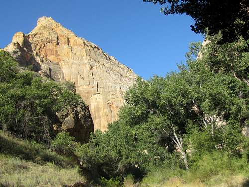
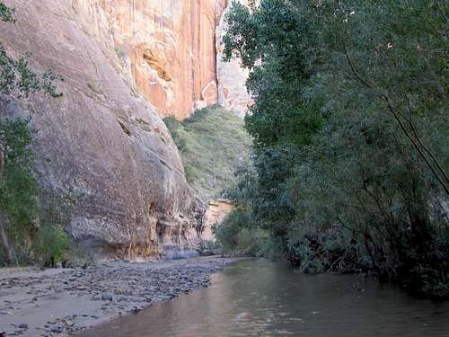
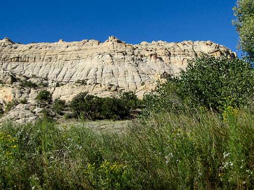
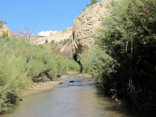
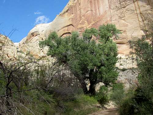
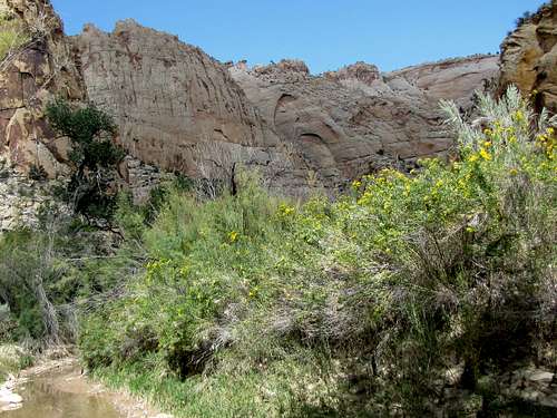
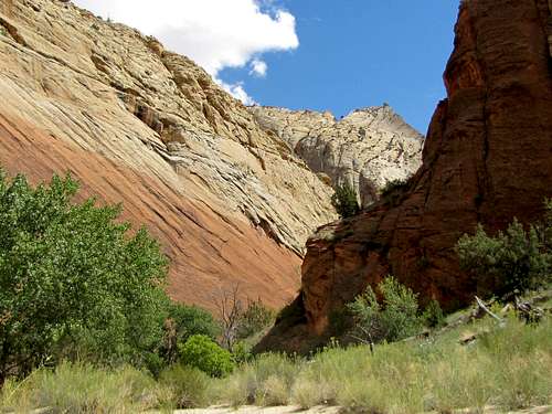
The canyon is pretty broad at first.
 |
 |
 |
 |
One of the many river crossings.
You will see the natural arch to the distant west.
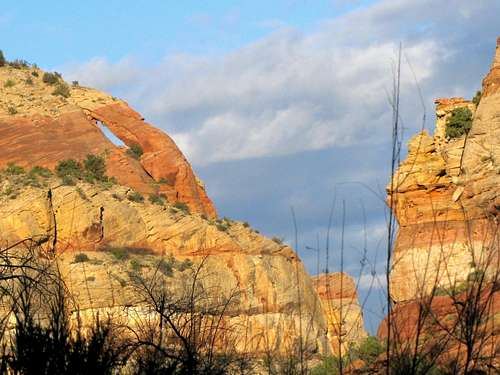 Zoomed view of the distant arch
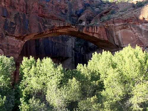
After 1.8 miles, Escalante Natural Bridge will come to view to the south.
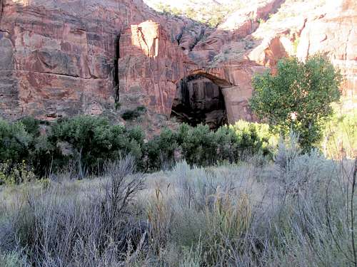 Escalante Natural Bridge Escalante Natural Bridge |
 Escalante Natural Bridge Escalante Natural Bridge |
 Escalante Natural Bridge
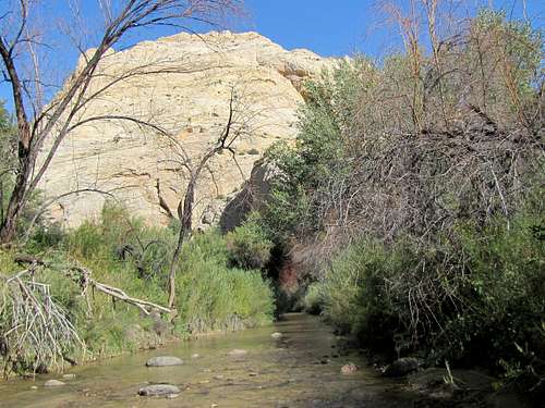
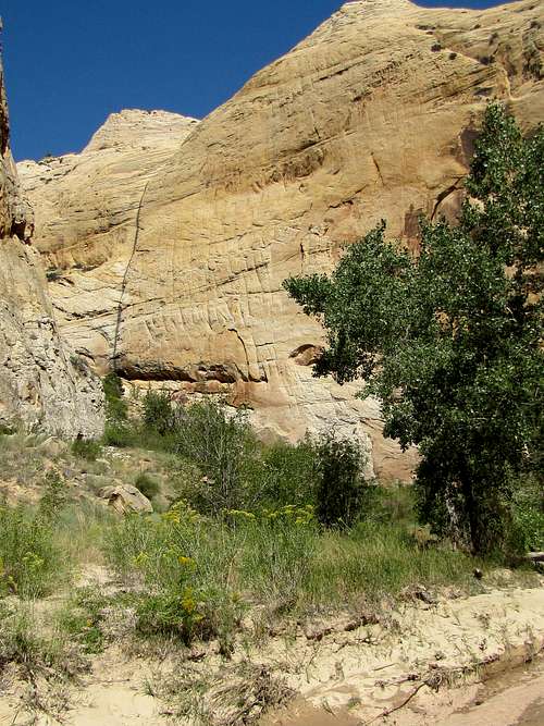
Continuing up the canyon.
 |
 |
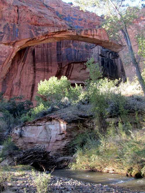
At 2.2 miles, you will go under the arch that you saw earlier.
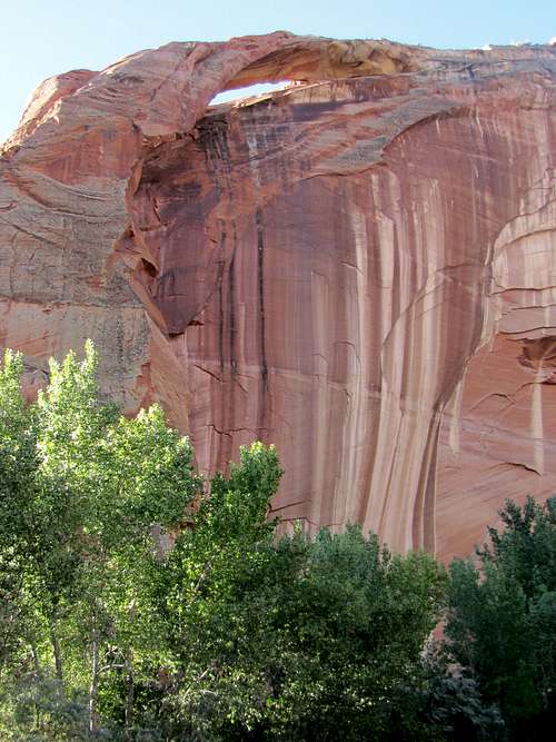 Arch
Arch
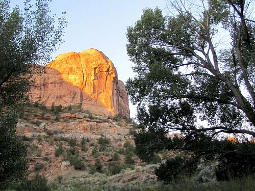
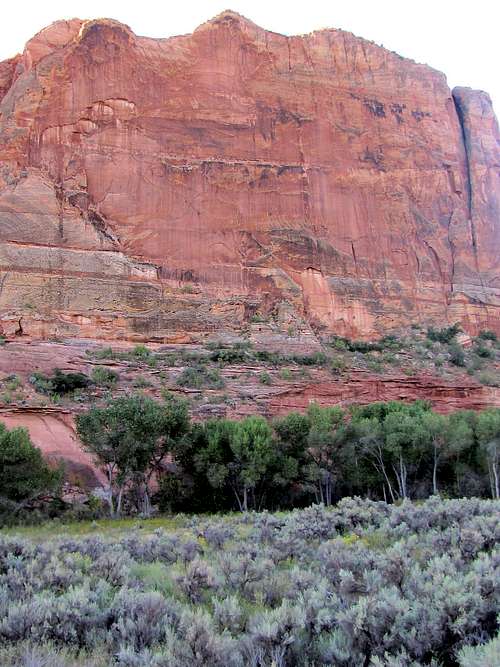
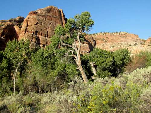
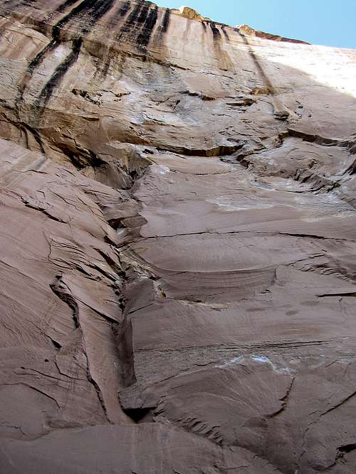
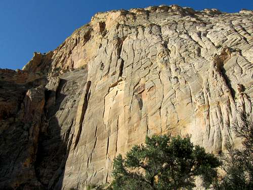
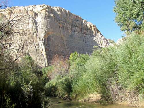
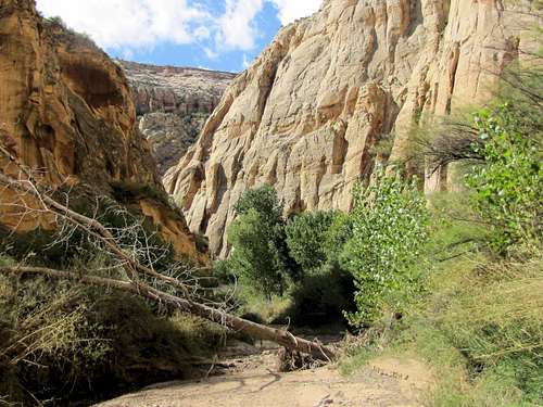
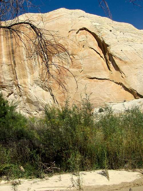
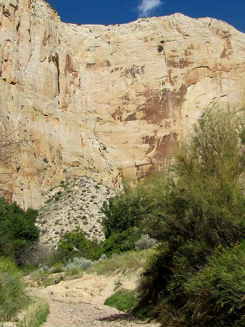
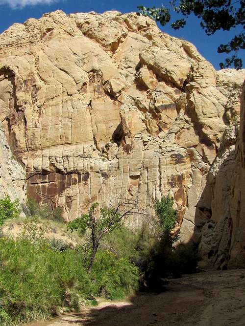
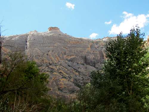
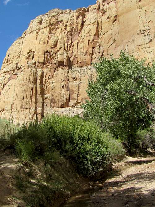
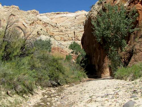
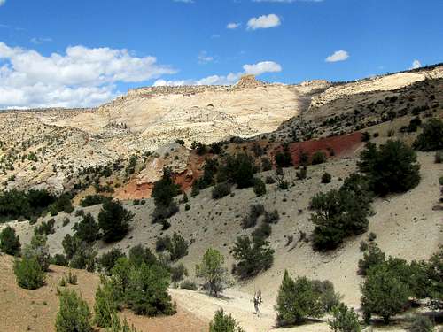
After the junction with Sand Creek, the canyon becomes tighter. Big walls are seen around.
 |
 |
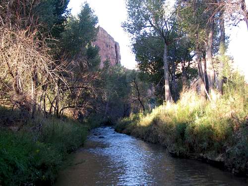
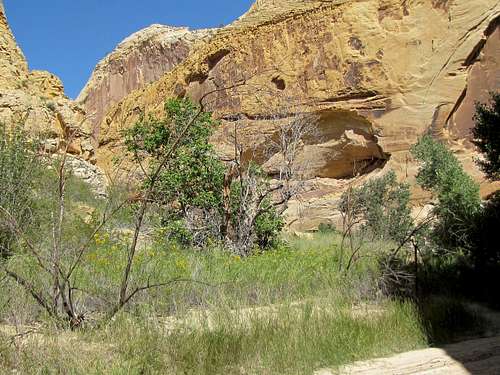
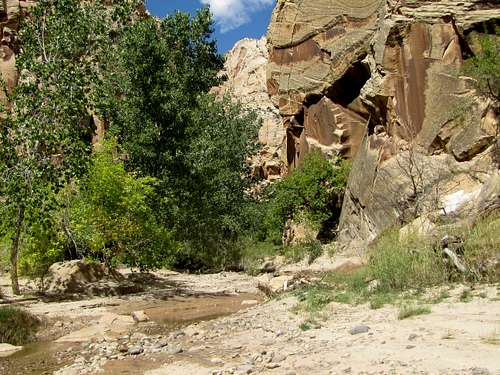
The trail may fade away in the dense vegetation but you can go into the river and continue walking upstream.
 |
 |
 |
 |
 |
 |
 |
 |
 |
 |
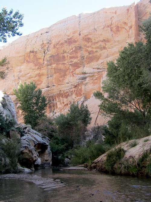
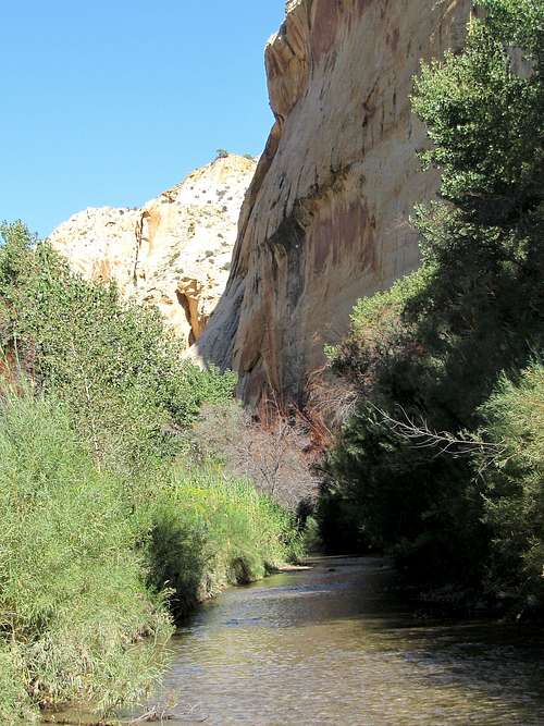
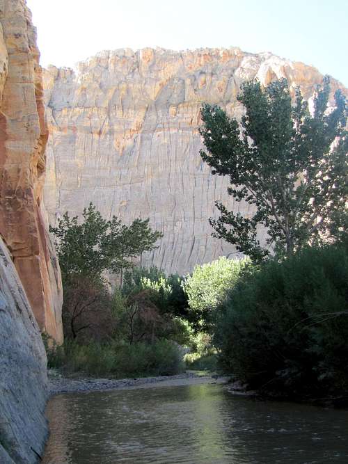
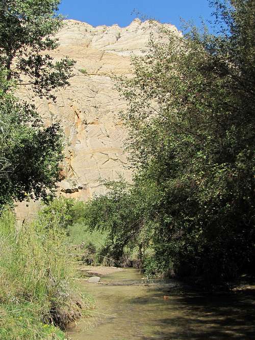
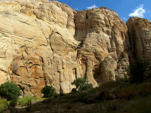
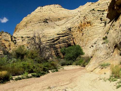
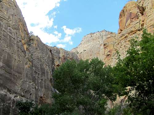
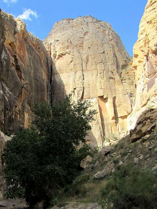
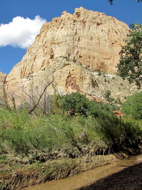
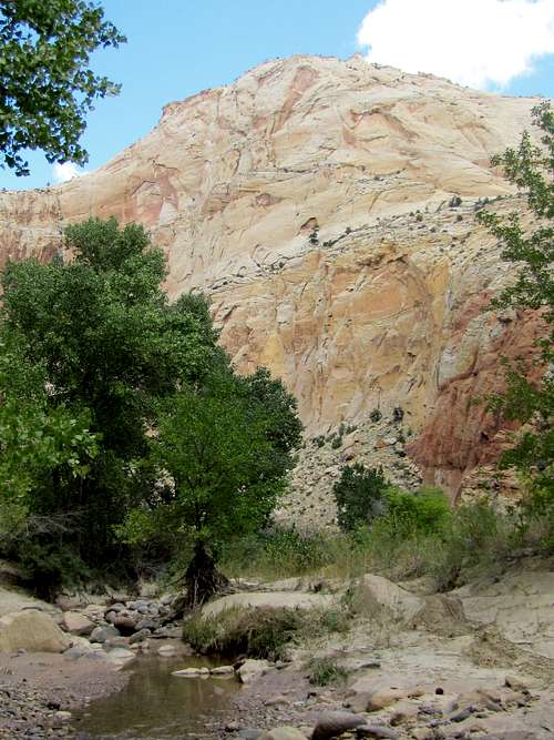
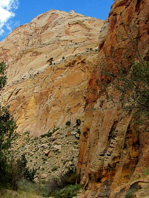
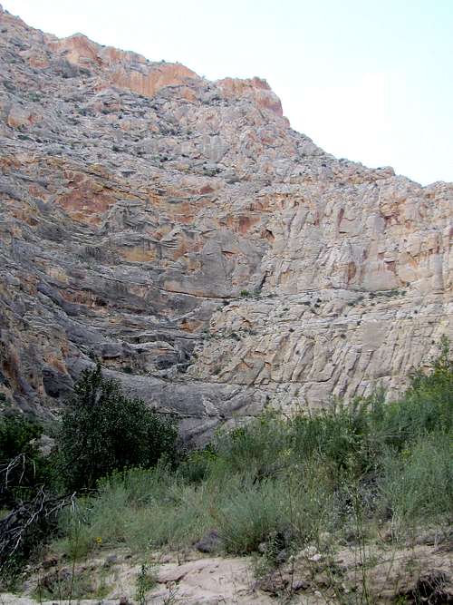
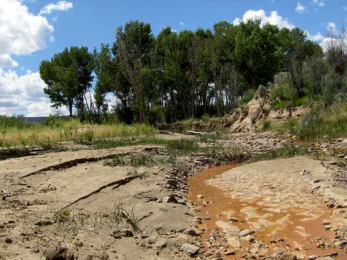
The junction with Death Hollow marks the halfway point in the hike. At the junction, turn left following Escalante River. The volume of the water will significantly reduce. When I was in the area, the river went totally dry after 15 minutes (but water appeared again in one hour). The canyon becomes even tighter and the walls higher.
 |
 |
 |
 |
 |
 |
 |
 |
 |
 |
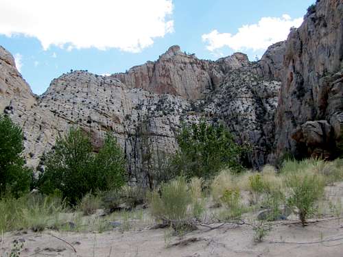
Farther up the canyon.
 |
 |
 |
 |
 |
 |
 |
 |
 |
 |
 |
 |
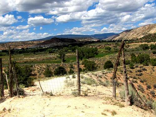
After the junction with Pine Creek (where a water gauge can also be seen), the canyon will suddenly end.
Go through a cattle guard maze and look for a trail on the left that will take you up a hill where the farmlands to the north of the town of Escalante can be seen.
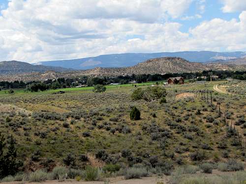
Continue uphill to reach the trailhead.
 |
 |
Red Tape & External Links
No permits needed for day hikes. For overnight camping and all other info, contact Escalante Interagency Visitor Center.
Guidebook: “Wow Guides, Utah Canyon Country”, Kathy & Craig Copeland.