
Comments
No comments posted yet.
|
|
Trip Report |
|---|---|
|
|
34.49463°N / 119.71271°W |
|
|
Apr 28, 2024 |
|
|
Hiking |
|
|
Spring |
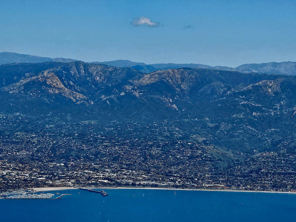
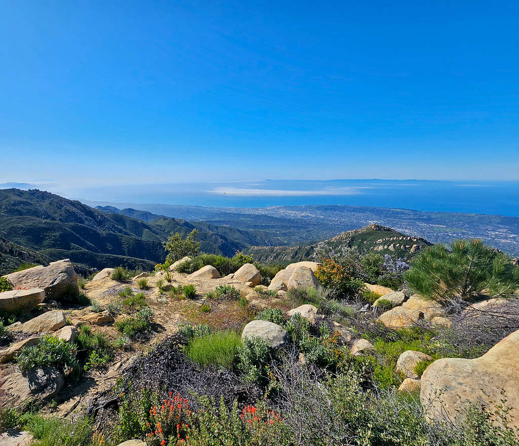
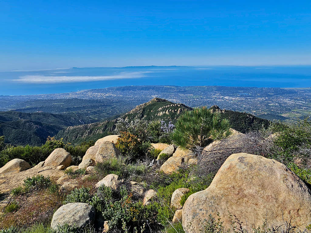
The 3985 ft La Cumbre Peak is the highest point of the coastal mountains that rise directly above the city of Santa Barbara, California. The easiest way to reach its summit is by driving Camino Cielo Road, a narrow paved road that traverses the crest of the mountains. The usual hiking route however starts at Inspiration Point Trailhead at the north end of Tunnel Street in Santa Barbara (elevation 970 ft). After 4.3 miles of hiking, you will reach Camino Cielo Road at an elevation of 3400 ft (the first 0.95 miles of the hike are common with Inspiration Point Trail which is popular and often crowded). You will hike the road 0.75 miles and then another 0.4 miles on a trail to reach the summit of La Cumbre Peak where a fenced off area protects a number of communication devices. Trees partially block the view north but you will have fantastic views south to Santa Barbara, Pacific Ocean and Channel Islands more than 30 miles away.
Elevation at starting Point: 970 ft
Summit Elevation: 3985 ft
Roundtrip Hiking Distance: 11.09 miles per my GPS
Total Ascent: 3227 ft per my GPS
April 28, 2024
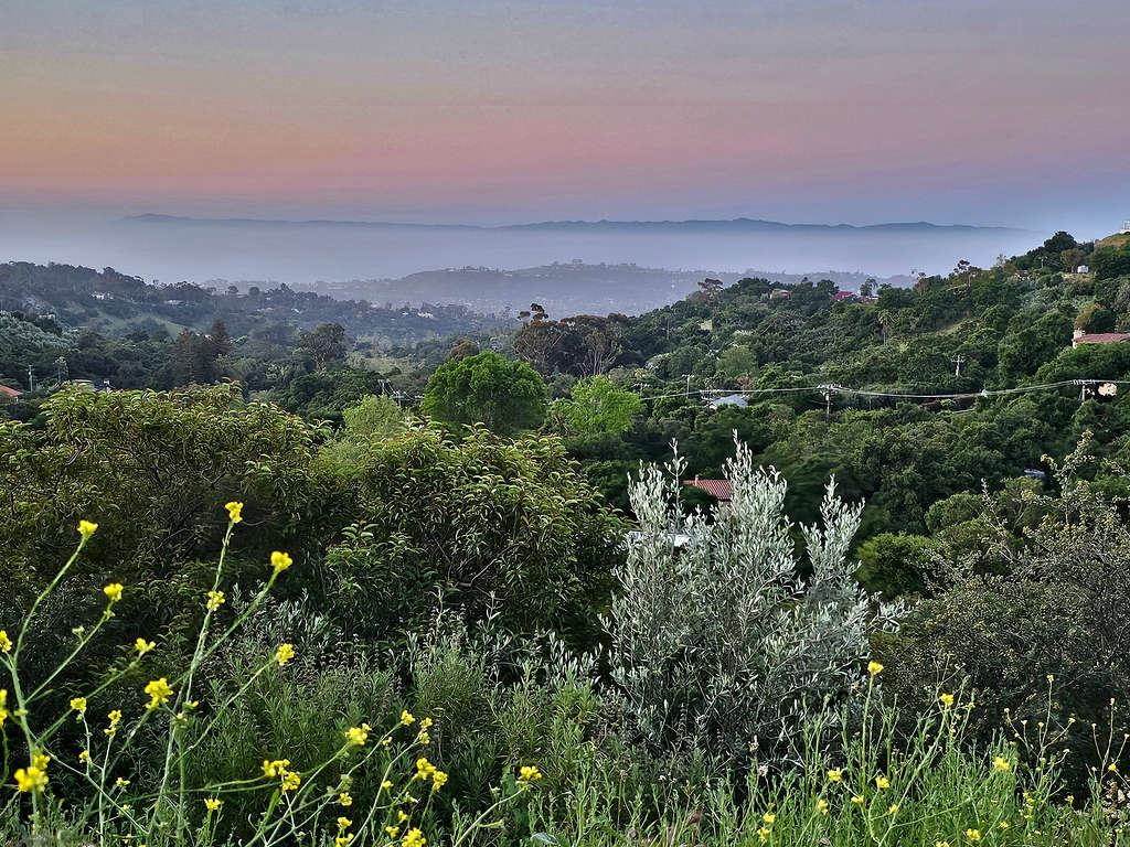
Left the vacation Rental House north of Solvang, California around 5:10 AM when it was still dark (sunrise 6:10 AM). Had a 50-minute drive to Inspiration Point Trailhead in Santa Barbara. As I had seen on Google Maps, there was no trailhead parking area. You had to park on the side of the street and parking farther away meant more uphill. I was the first one to reach there at that early hour but right behind me, five cars came with 5 older middle-aged men with no backpacks or water. They got together and went on the trail. I never saw them after that. They must have gone to Inspiration Point. I actually did not see anyone else until several hours later.
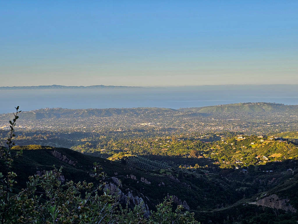
Started my hike at 6:05 AM, elevation 970 ft. The first 0.75 miles of the trail was an abandoned paved one lane road that had been closed to vehicles. It was 50 degrees F and I was in the shade. I was afraid of getting hot if the sun began to shine on me. Looking south, the ocean seemed to be lost under the morning mist, but I could see the Channel Islands as a distant mountain range.
Looking east.
First view of the 3258 ft Arlington Peak.
After 0.75 miles at an elevation of 1200 ft, I reached a bridge over Mission Creek.
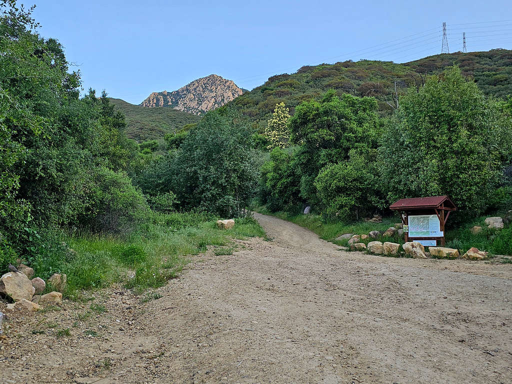
Was soon at a split in the trail with an information kiosk. Arlington Peak seen.
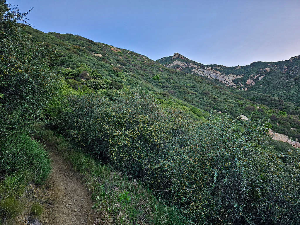
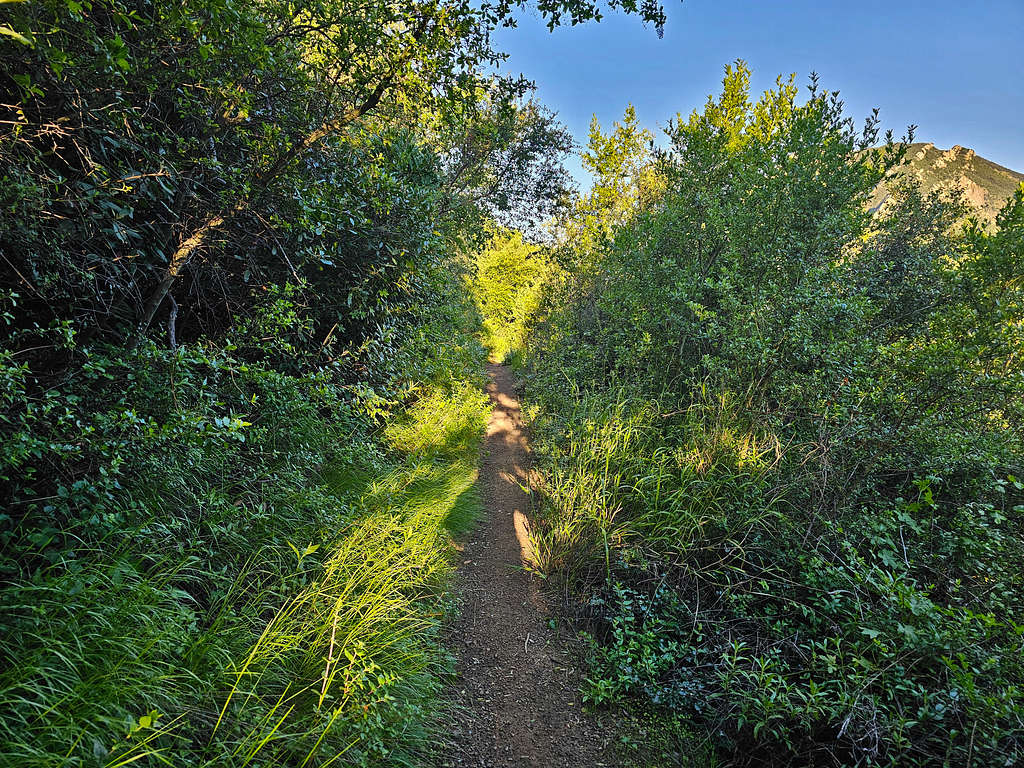
At 6:27 AM, 0.95 miles and 1310 ft, an unsigned trail branched to the right. Compared to the main trail, which was as wide as a road, this one was narrow and inconspicuous but remained well established. I knew that was Tunnel Trail separating from Inspiration Point Trail. Got on the small trail and continued uphill.
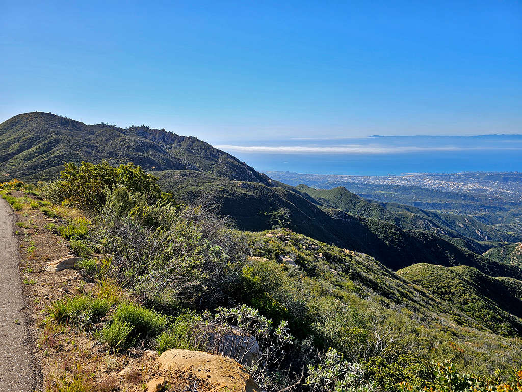
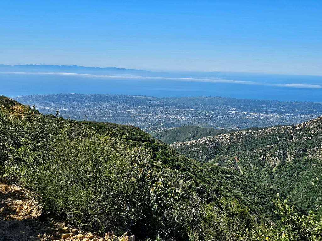
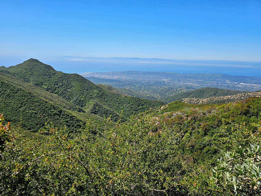
Views of Santa Barbara, the ocean, and Channel Islands.
I soon reached a short steep spur trail that took me up into the sun to a high point known as Pine Lookout. The sun did feel hot. Took a picture and went back to the main trail in the shade.
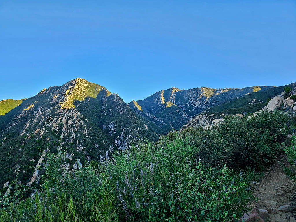
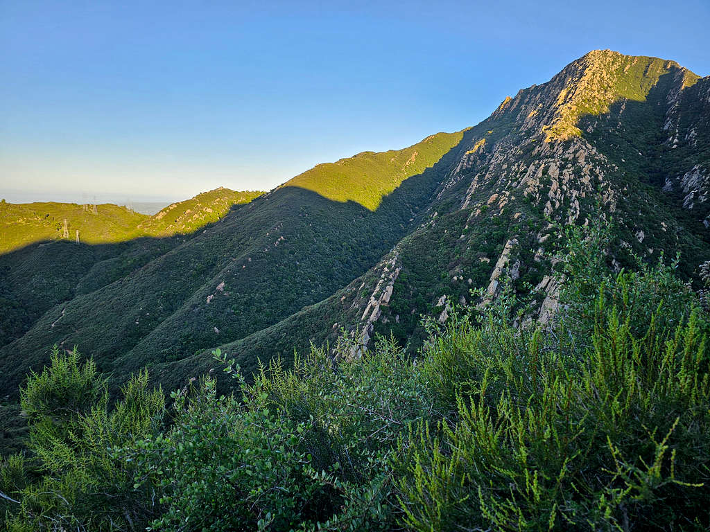
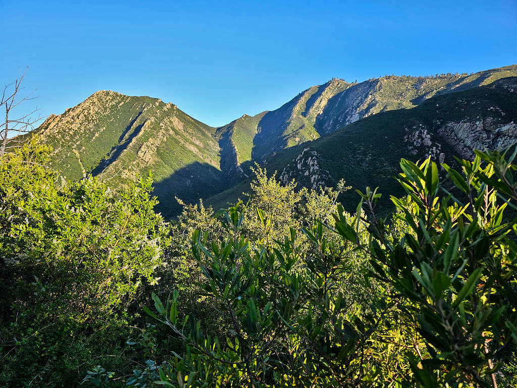
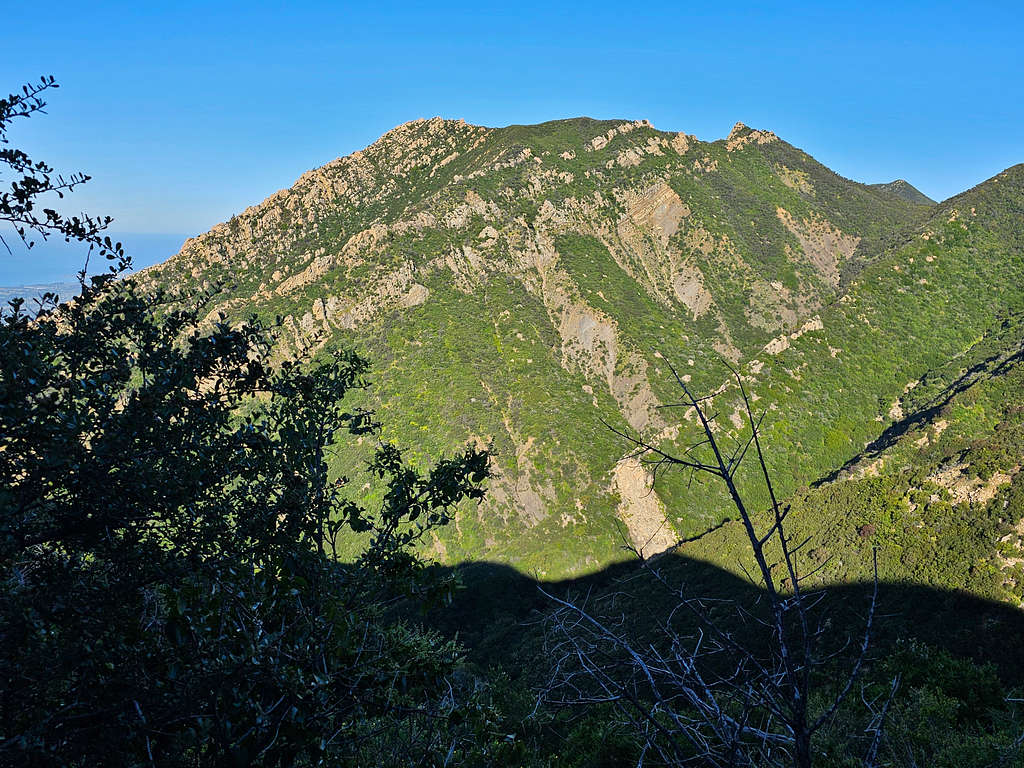
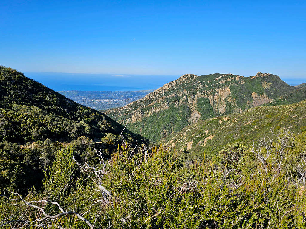
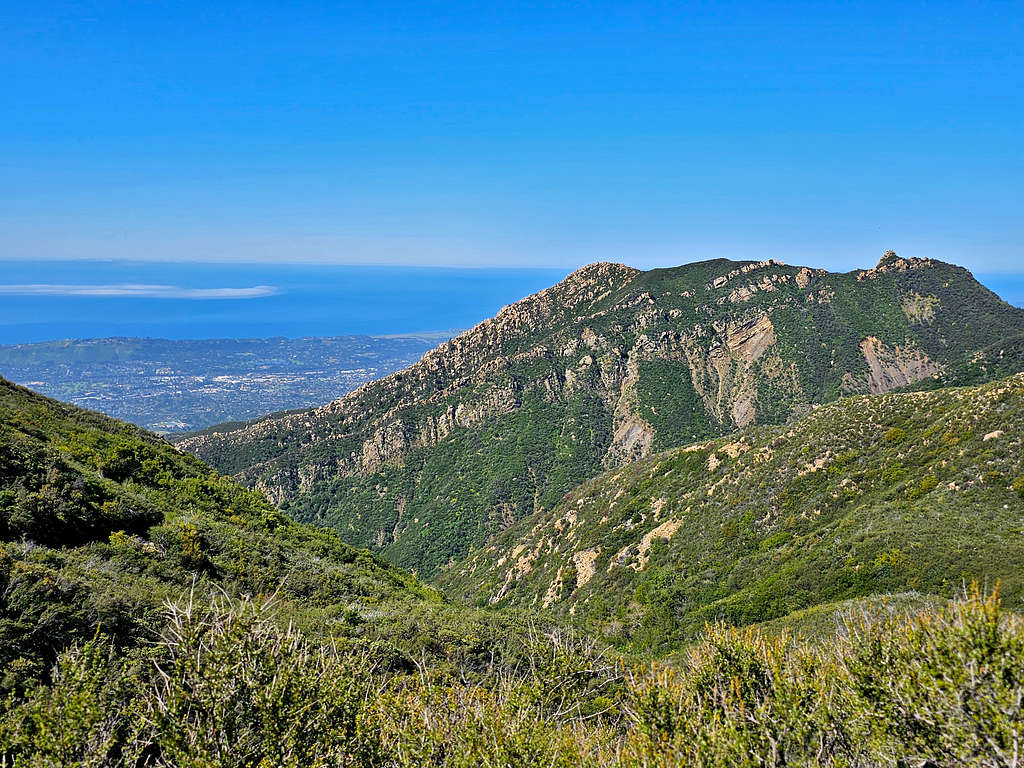
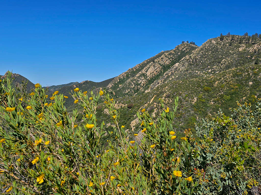
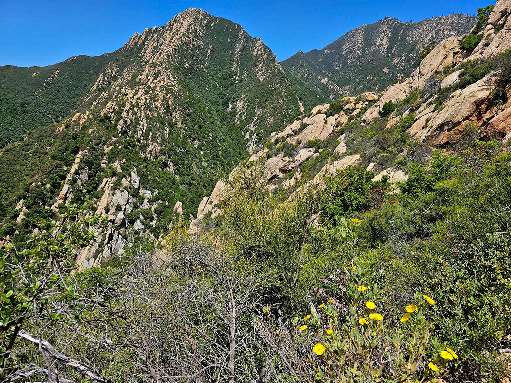
Arlington and La Cumbre Peaks.
Arlington Peak.
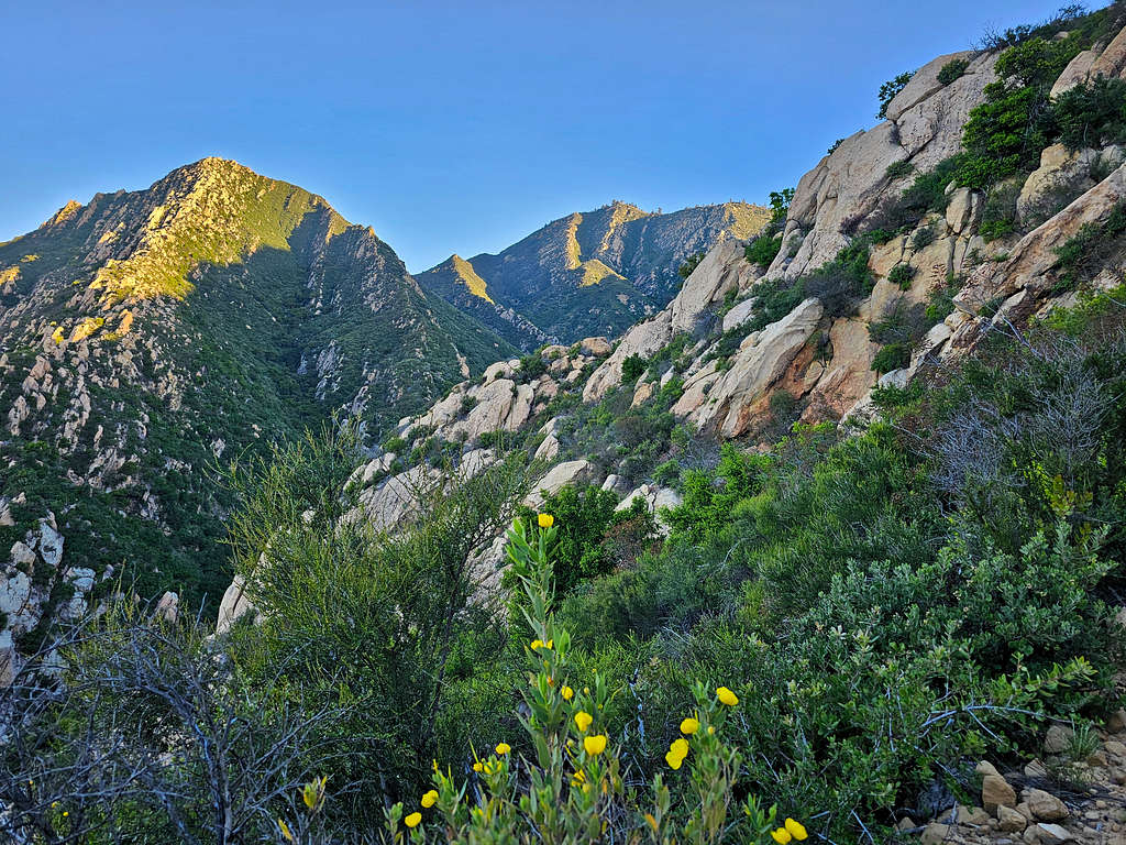
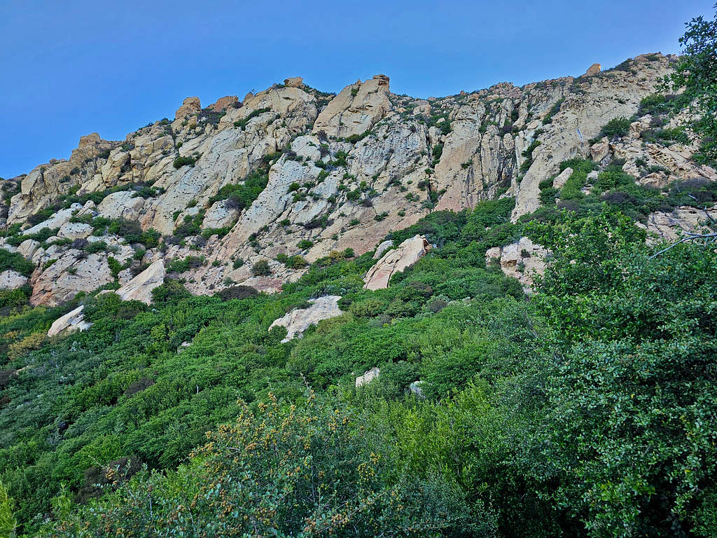
White Dome.
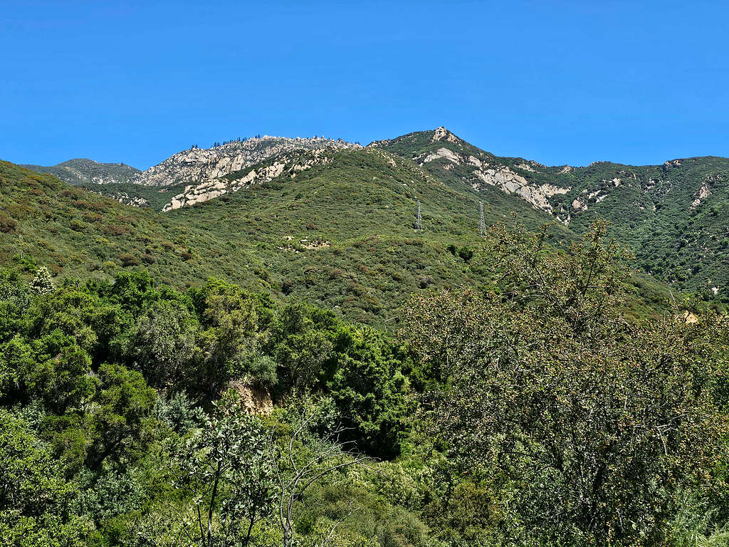
Arlington and La Cumbre Peaks.
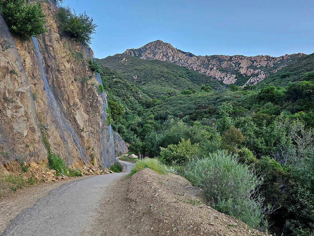
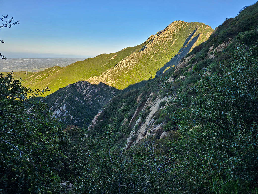
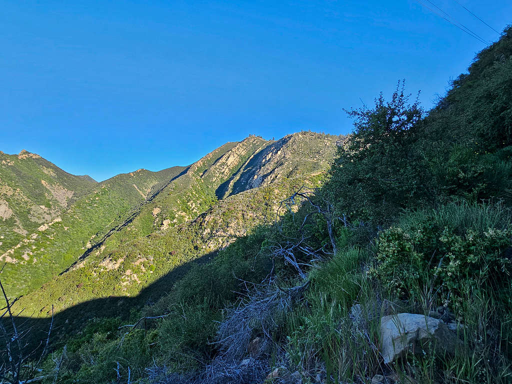
Trail traversing the north face of Point 2650 ft.
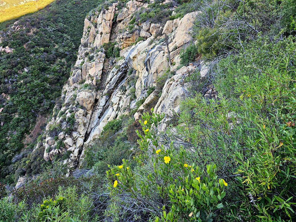
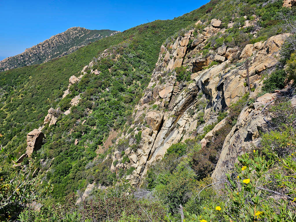
Walls of White Dome.
Looking back at Point 2650 ft. Ocean and Channel Islands seen.
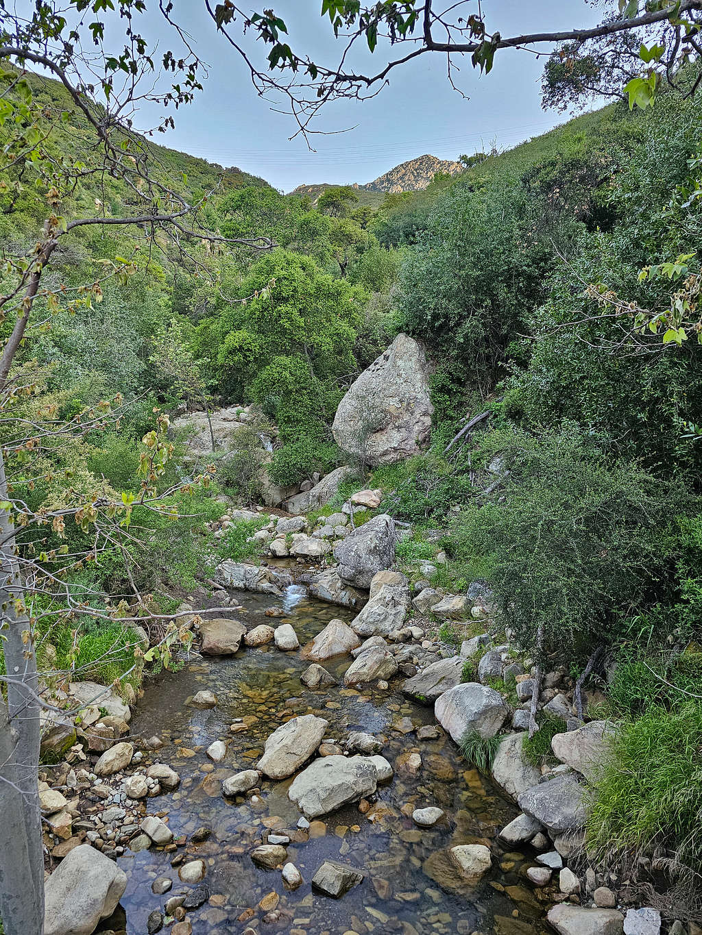
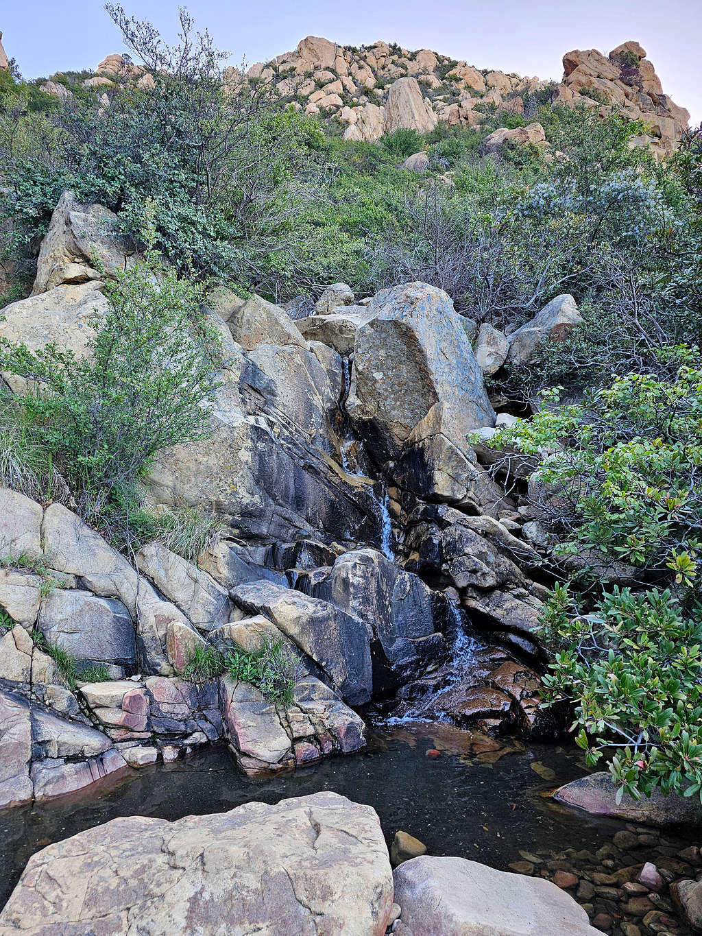
I could see a trickle of water on a waterfall. Later learned that was Mission Falls that at times of high water apparently became impressive.
Crossing Mission creek.
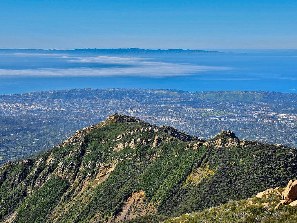
As I went higher, it seemed like I was getting to be as high as Arlington Peak. Cathedral Peak had also come to view as a high point to the right of Arlington Peak.
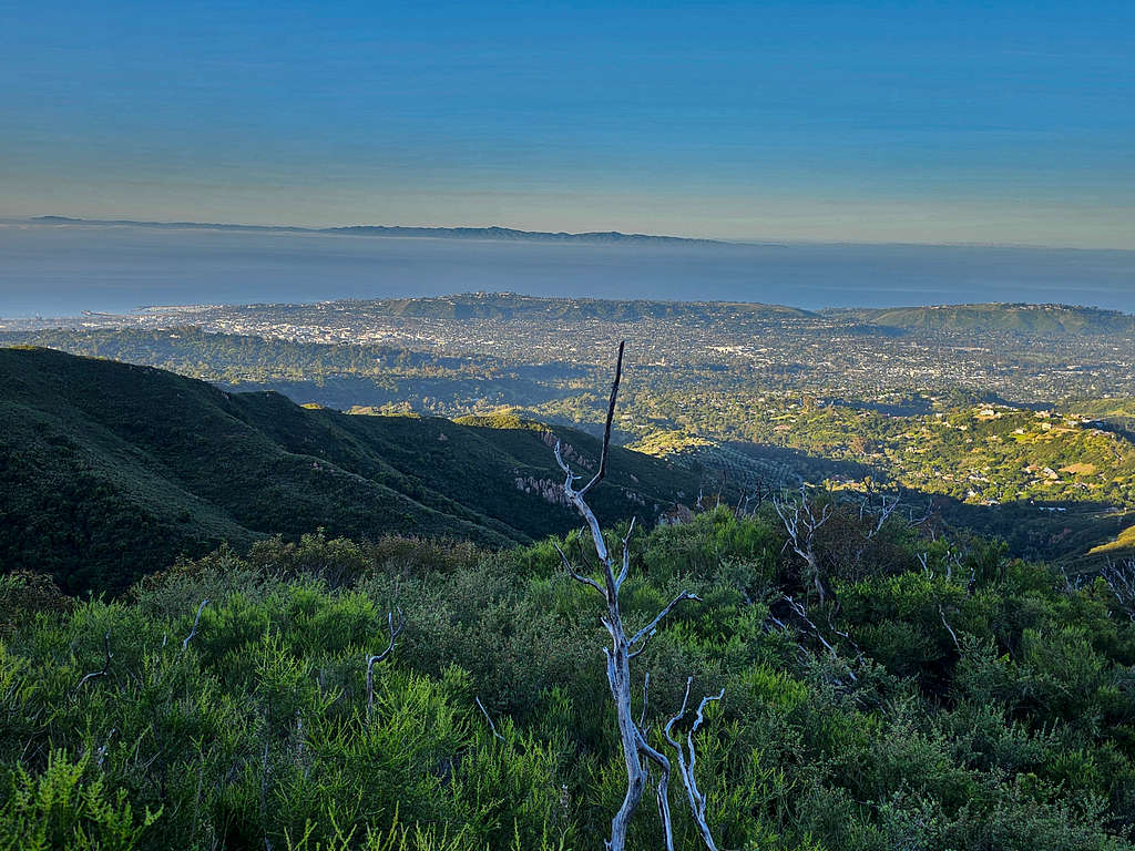
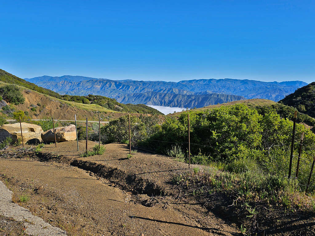
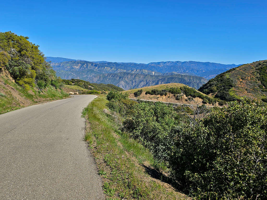
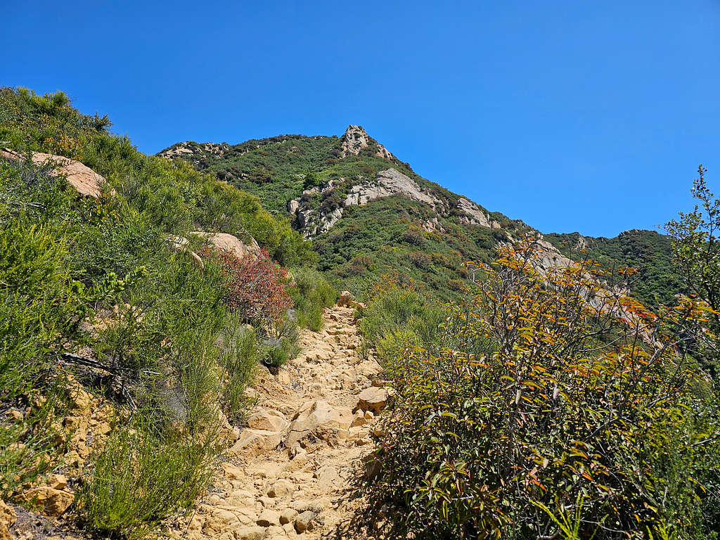
I came across 3 lone hikers that were hiking down. They must have been dropped off on Camino Cielo Road to hike back down. I soon reached a hilly place with no views of the peaks or the ocean, I was at that point in the sun, but it did not feel hot. At 8:38 AM, 3400 ft and 4.33 miles, I reached Camino Cielo Road, a narrow-paved road that traverses near the top of the mountains. Got on the road and headed west toward the summit of La Cumbre Peak. For the 0.75 miles that I hiked the road, only one car went by, but I saw a number of bicyclists who were huffing and puffing on the steep parts of the road.
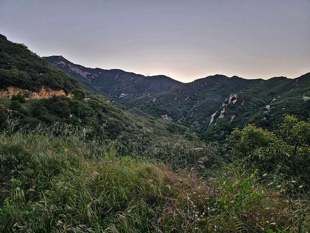
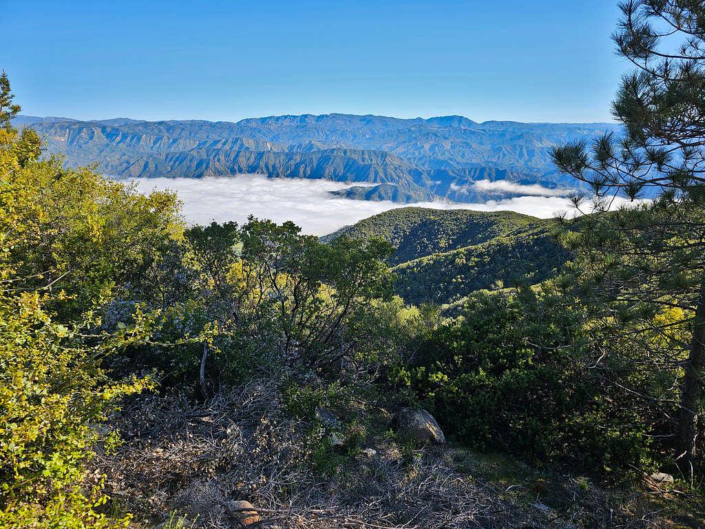
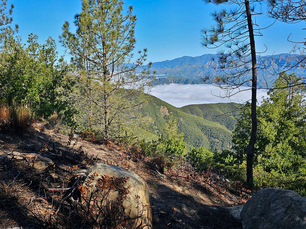
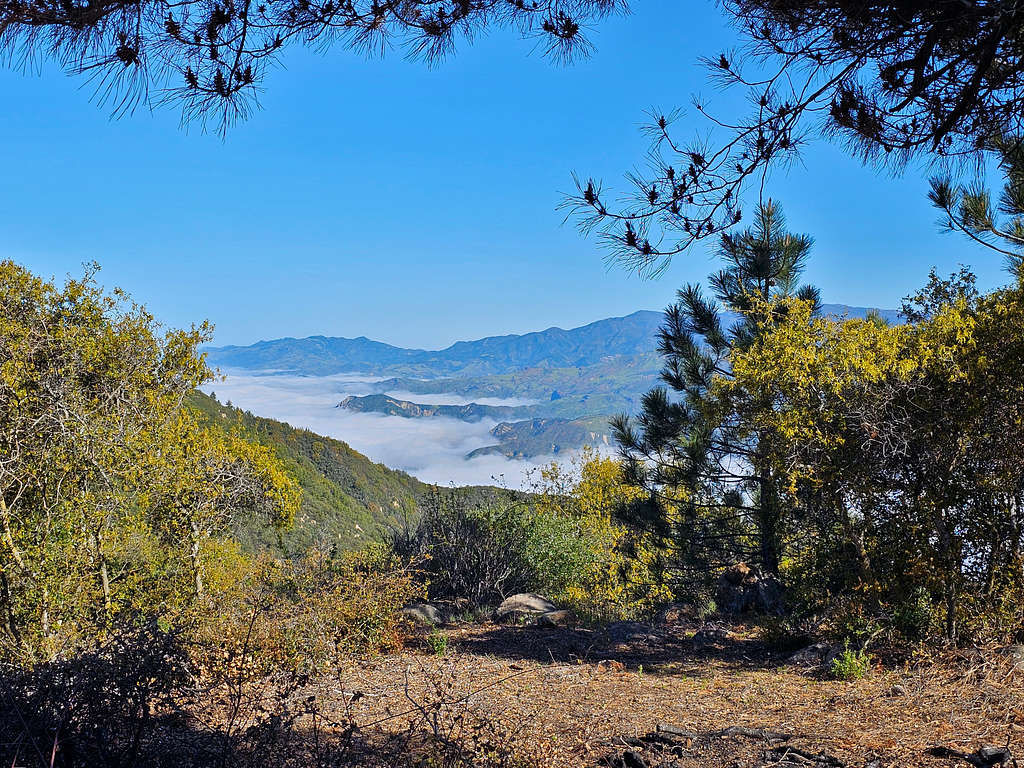
View of Fog filled valleys to the north.
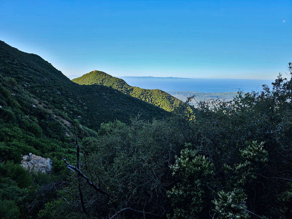
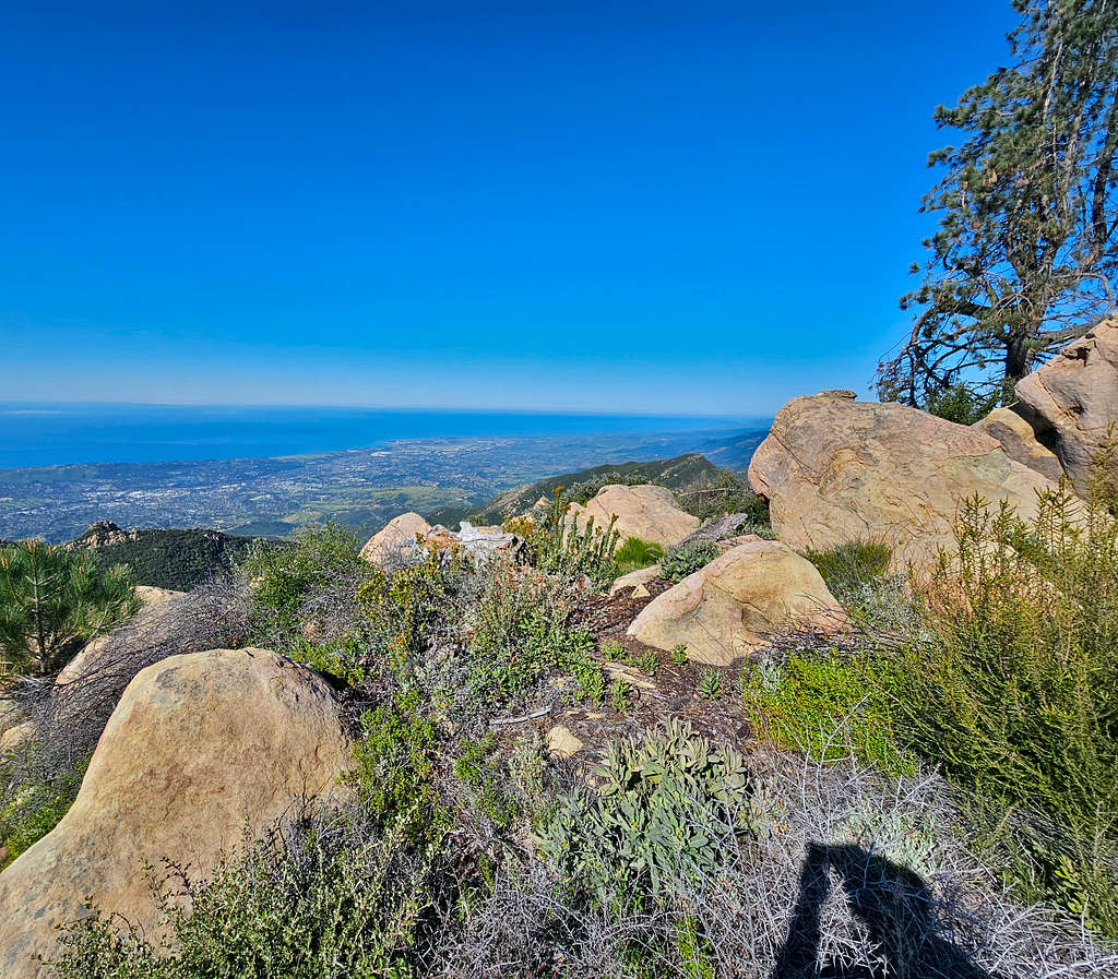
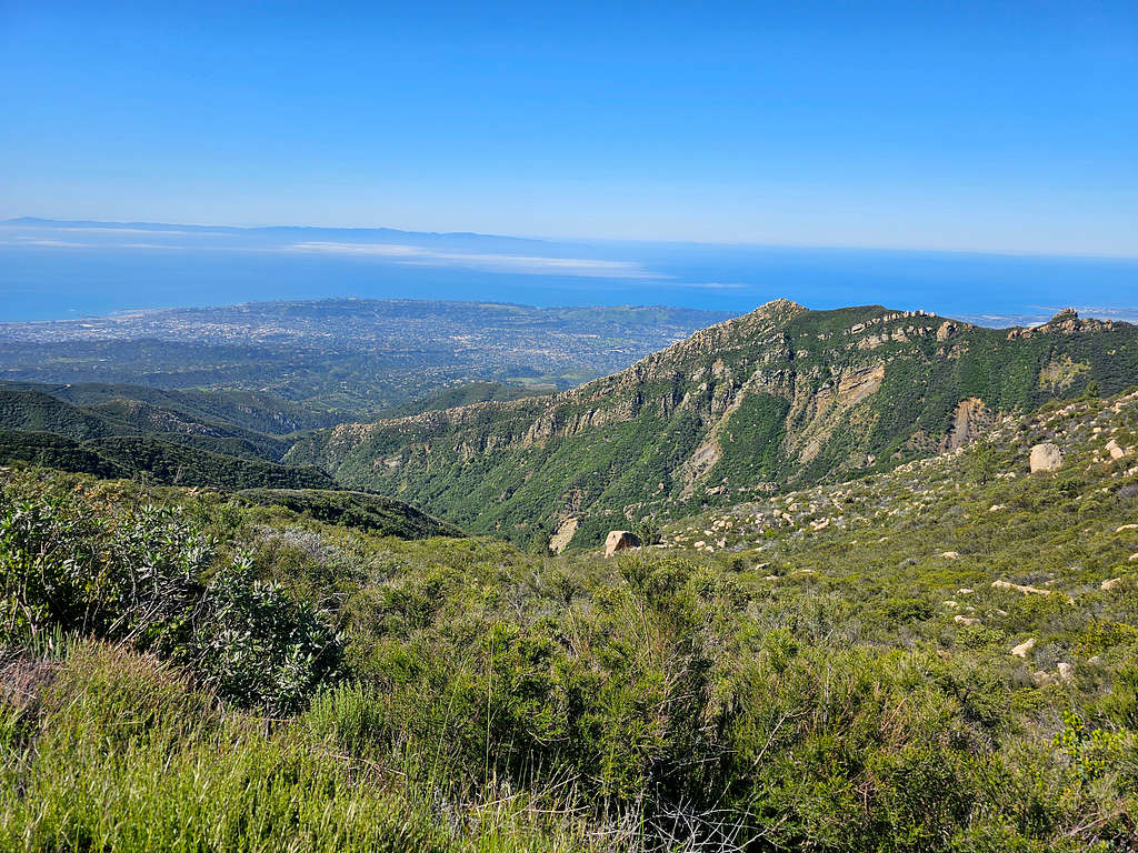
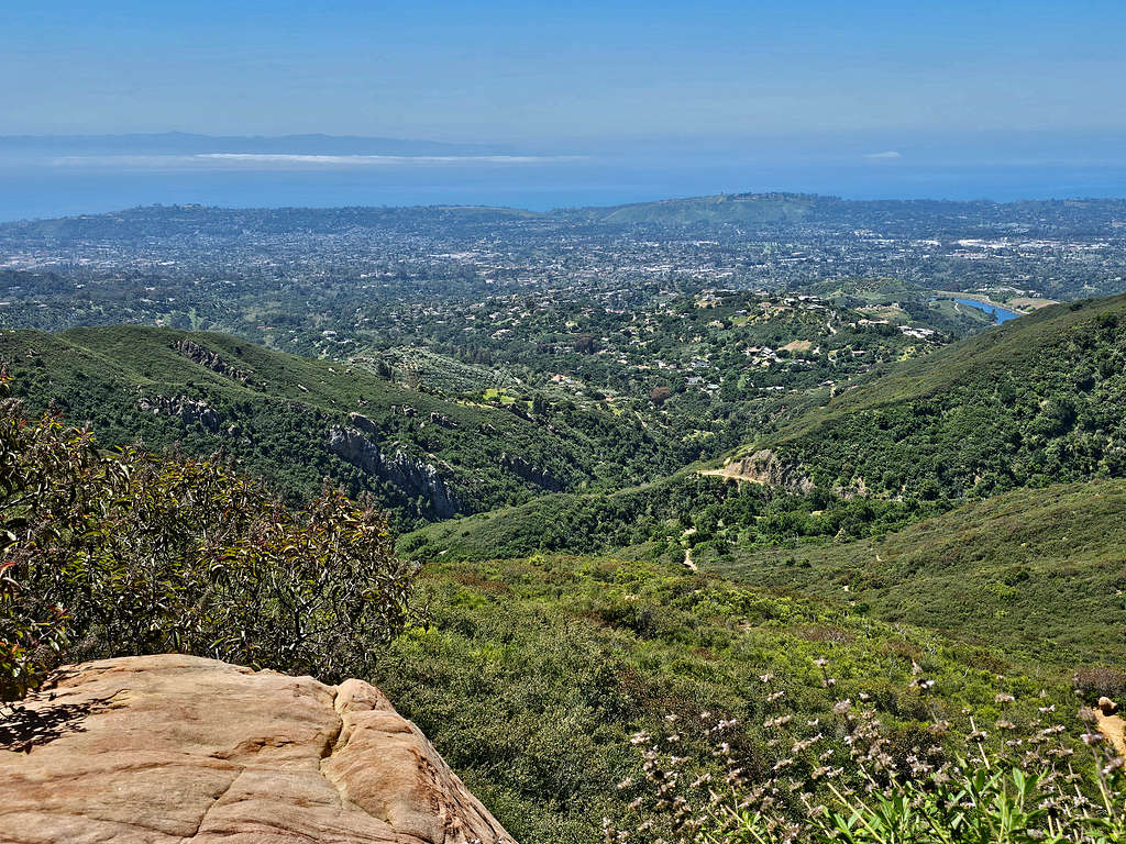
I was at that point higher than Arlington peak and was looking down at it. Great views of the ocean and Santa Barbara.
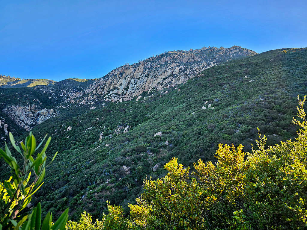
At 3745 ft, I reached a well beaten path that went into the forest to reach the summit. More fog filled valleys to the north.
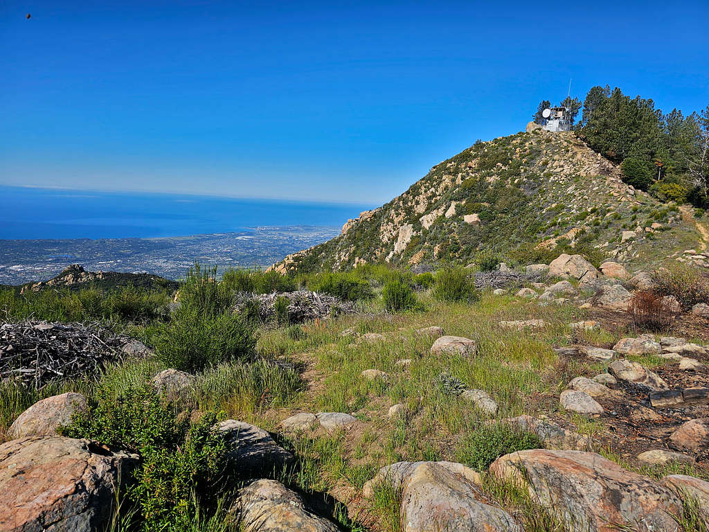
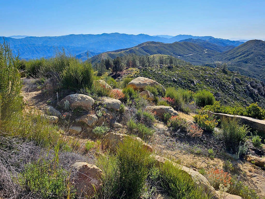
Summit and the communication devices on top of it.
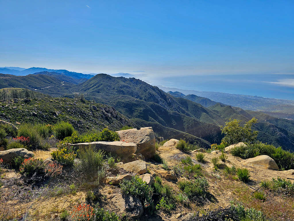
At 9:12 AM and 5.5 miles, I reached the summit of La Cumbre Peak. A fenced off area protected a number of antennas, dishes and other communications devices blocking view and access. That was a bummer. I went on the south side of the fence to get a view of the ocean.
Looking east, Camino Cielo seen.
Looking southeast.
Looking south.
Looking southwest.
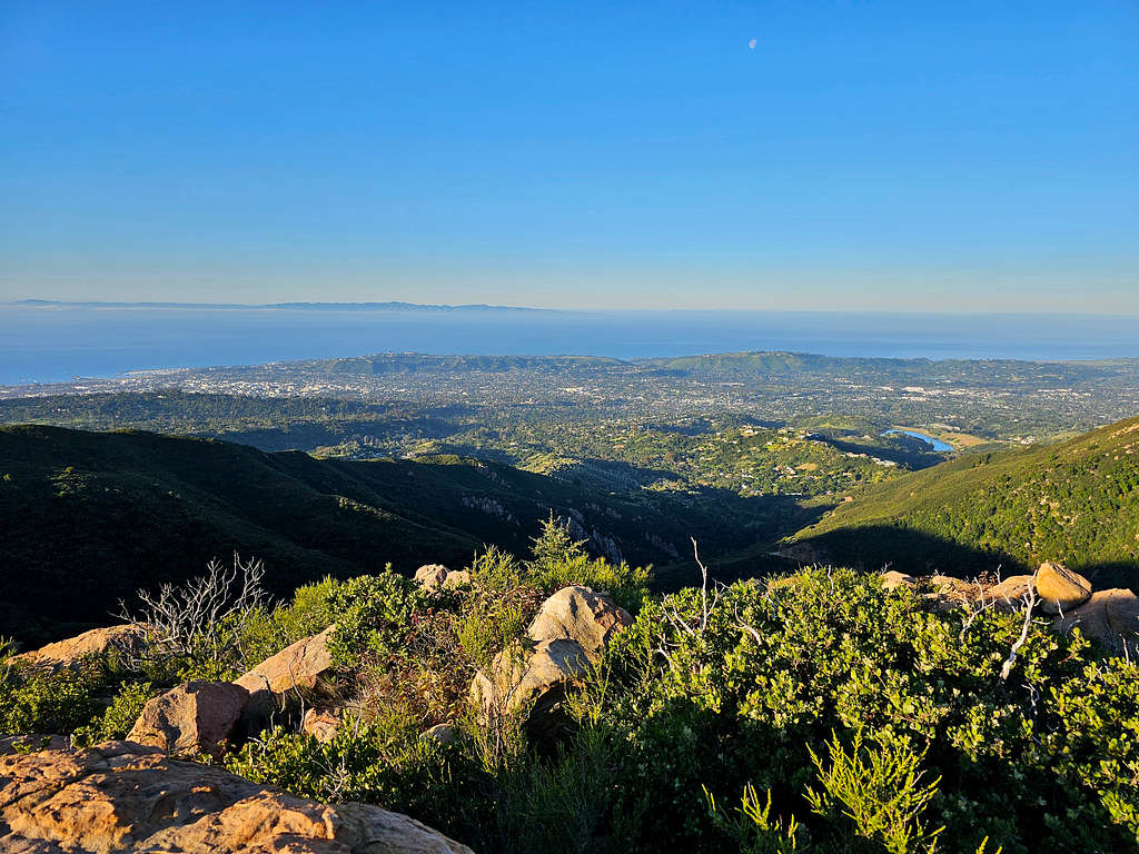
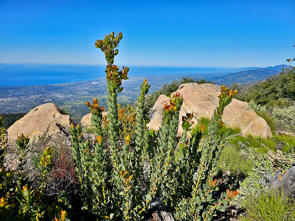
After eating and resting, I went to the north side of the fence which led me to a more open area. Fortunately, nobody was there. Zoomed view of Arlington Peak and Channel Islands.
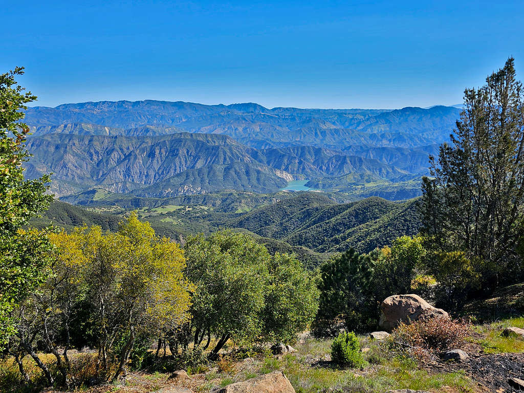
Looking northeast at Gibraltar Reservoir. Fog had lifted.
At 9:40 AM and 5.6 miles of hiking, I started to walk back down the way I had come. On Camino Cielo Road again.
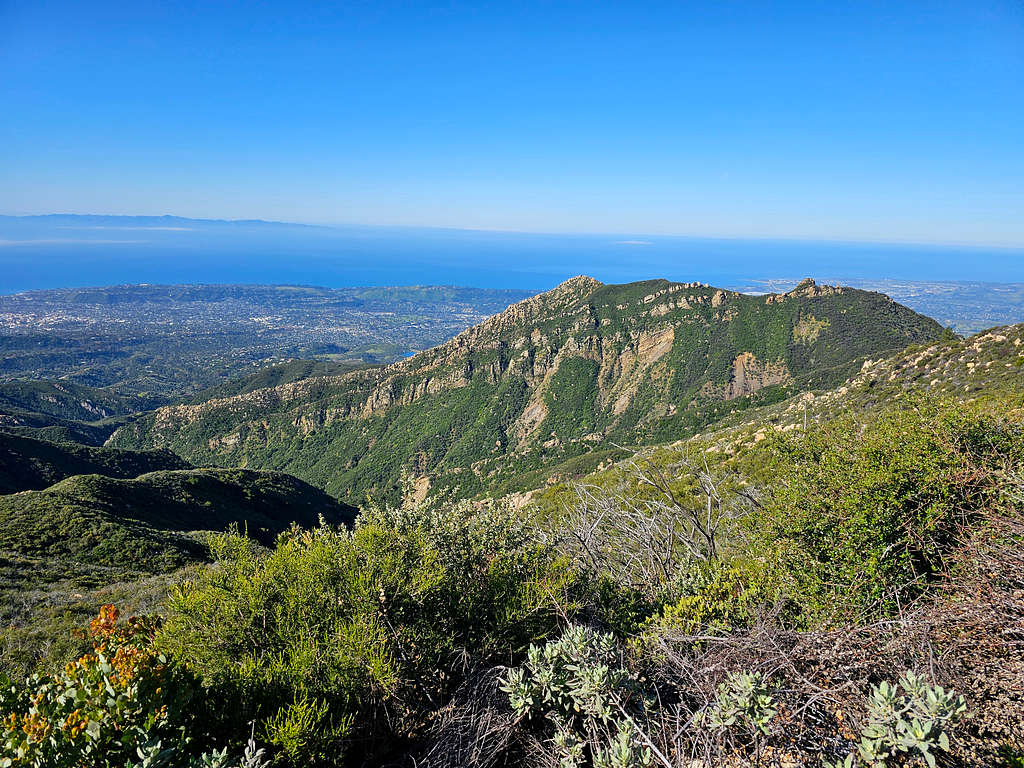
Reached the trail at 10:12 AM and 6.77 miles. I ran into a lone hiker who like me stopped often to take pictures. Sometimes I got ahead of him and sometimes he was ahead of me. That was kind of becoming irritating for both of us. Eventually I got ahead and did not see him anymore. Arlington and Cathedral Peaks plus the ocean again.
View south.
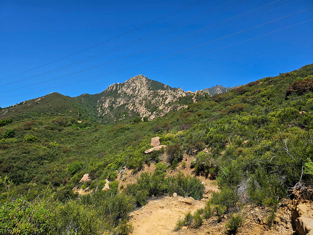
Looking back at La Cumbre Peak.
Point 2650 ft.
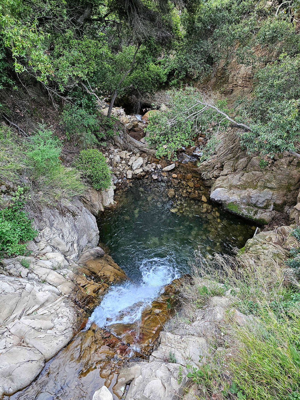
Mission Falls.
La Cumbre Peak and the walls of the White Dome on the right.
All day, I had been careful not to step on any snakes. Fortunately, the trail was wide and well-established. As I went lower in elevation, I suddenly saw the tail of a fairly big snake crawling away from the trail under a bush. Did not get the chance to picture it and did not come across any other snakes.
La Cumbre and Arlington Peaks.
Santa Brabara from the lower parts of the trail.
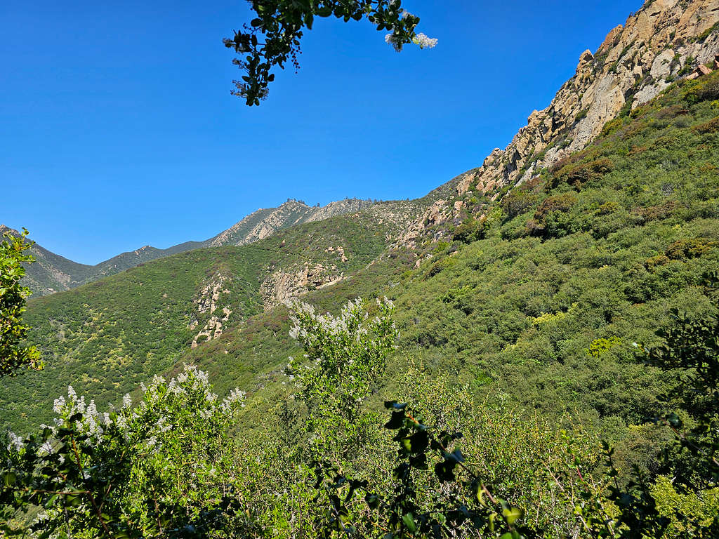
The last 0.95 miles was on the Inspiration Point Trail. It turned out to be crowded and I ran into other hikers often. Looking back at the White Dome.
Reached my car at 12:38 PM.