
|
|
Route |
|---|---|
|
|
33.90500°N / 111.409°W |
|
|
Hiking |
|
|
Fall |
|
|
Half a day |
|
|
Easy |
|
|
Overview
As noted on the main page, Mount Ord Road is the standard route up to the summit. The proximity to Phoenix makes this an ideal hiking spot to beat the heat. There are ample opportunities to park and hike from various locations along the road. The road is often used for training purposes, and is generally popular, but not too crowded.
Getting There
As noted on the main page, Mount Ord is off of State Route 87, which is referred to as the Beeline Highway. It goes between Mesa and Payson. The road continues through open country until reaching an area called Sunflower with some buildings. Roughly 5 miles after Sunflower, make a right onto Mount Ord Road.
Route Description
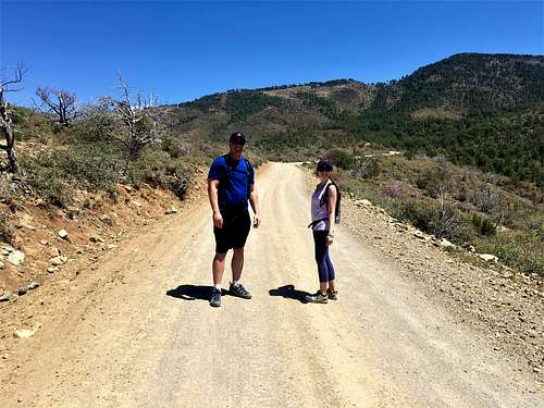
Mount Ord Road is paved for the first 1/3 mile, then well-graded dirt for the remainder; roughly a 6 1/2 mile drive to the parking area below the summit.
Most sturdy vehicles should be able to drive to the parking area below the summit. The road is narrow and steep but in good condition (in dry weather). Be aware of oncoming traffic around the many blind turns, and the usual ATVers. The first parking area is about 1 mile up at 4,700'. There isn't any place to park before then. This parking area is about 5.6 miles from the summit with 2,550' of gain.
Essential Gear
This is a road hike, so there is no scrambling. It is very straight-forward. Bring sufficient water depending on the mileage you intend to hike.
Wet weather concerns
Mount Ord can get winter storms and rain. Monsoon rains may fall on the mountain even when the area below stays dry. Like most dirt roads, it becomes very slick and treacherous when wet. Keep this in mind when planning a trip.