
|
|
Route |
|---|---|
|
|
27.05876°S / 68.49076°W |
|
|
Mountaineering, Scrambling |
|
|
Most of a day |
|
|
Minimal technical difficulty |
|
|
Overview
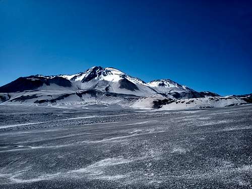
This straightforward route follows an obvious ramp up the west side of the mountain with and approach from Chile. It is largely non-technical, with few hazards or challenges other than the altitude. Many variations are possible at most stages of the approach and ascent.
Getting There
Bike or drive approximately 230 km along Ruta 31 from Copiapó. Proceed on the well-marked jeep trail south of the highway to Refugio Claudio Lucero. It may be advisable to make one or more acclimatization stops along the way.
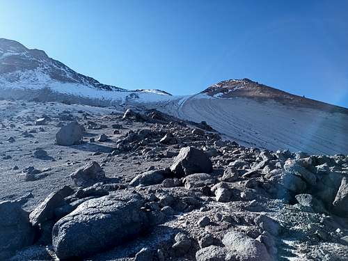
From the Refugio, continue 15.5 km up the main jeep trail (still 4.5 km short of Refugio Atacama), and depart the trail to the east to follow a prominent dry streambed towards El Muerto. This streambed will lead to a gulley after about 2.0 km. After a further 800 m of hiking, the gulley opens up towards the west face of El Muerto.
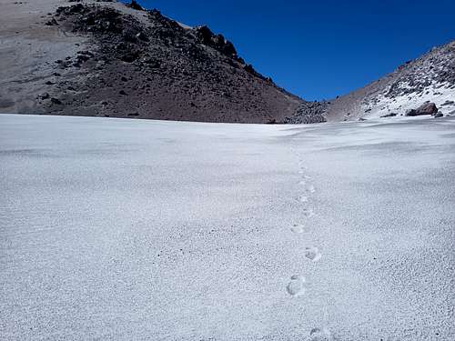
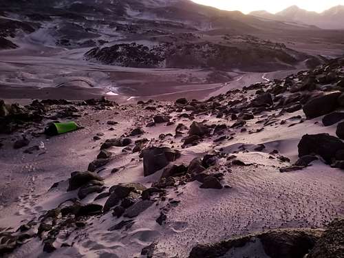
Proceed east (climbers' left) from this point towards a prominent darker ridge of rock in the otherwise tan pumice face. There is an intermittent footpath that stays below (south of) the ridge and leads to several sheltered areas suitable for camping. These sites are at 5250-5300 MASL.
There is also an intermittent trail leading from these campsites to Refugio Atacama. This trail diverges westwards from the above approach at the upper end of the gulley, and winds through several small valleys to regoin the jeep trail shortly before the Refugio. This alternate option can be used to proceed upwards to Ojos del Salado, or else in the opposite direction to reach the base of this El Muerto route on the descent from Ojos del Salado.
Route Description

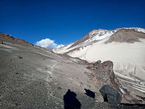
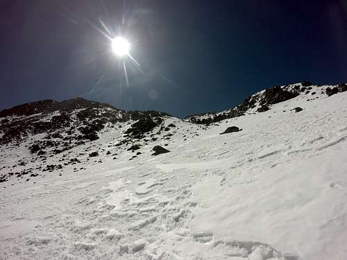
From a camp at the base of the ridge, proceed up the exposed rock as far as practical before diverting climbers' left onto the slope itself. As is the case for much of El Muerto, the slope is mostly composed of loose beads of pumice. If you are fortunate with respect to snow conditions and start early in the day before the sun reaches the western slopes, the usual overnight freeze may solidify this into a grippy hiking surface.
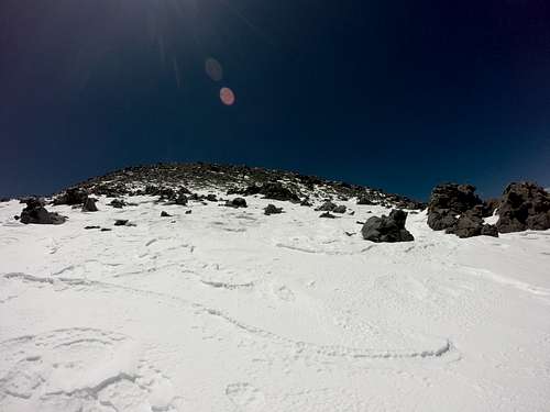
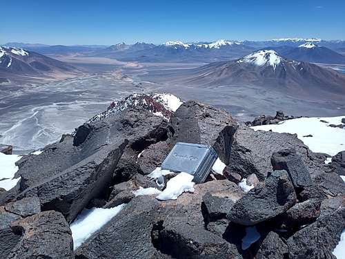
The slope angle eases around 6070 MASL, at which point a small gulley will be visible to climbers' left. Continue up the gulley staying on the left (north) side to reach the upper end. Make a rising traverse on the slope above towards the south (climbers' right from the top of the gulley) for approximately 300 horizontal meters to avoid the broken slopes northwest of the summit block. From here (about 6250 MASL and due west of the summit), continue directly up-slope on snow and/or loose pumice past numerous large boulders to reach the summit block at 6440 MASL. A short stretch of class II-III scrambling will lead you to the broad summit plateau. As with several peaks in the area, an elaborate Banco de Chile summit register can be found at the highest point.
Retrace the route to descend.
Essential Gear
- Cold-weather hiking gear
- Crampons or microspikes
- Ice axe