
Comments
No comments posted yet.
|
|
Trip Report |
|---|---|
|
|
45.35245°N / 116.39868°W |
|
|
Download GPX » View Route on Map |
|
|
Jul 9, 2021 |
|
|
Hiking |
|
|
Summer |
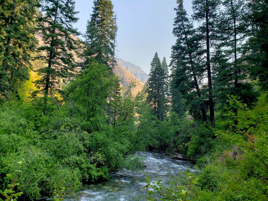
On its way down from the Seven Devils Mountains of Idaho, Rapid River creates a canyon before joining Little Salmon River south of Riggins, Idaho. Maps show a multitude of trails following Rapid River and its tributaries upstream going deep into the mountains. I did an 8.8 mile roundtrip hike to the junction of the west fork and the main river.
Elevation at start of the hike: 2275 ft
Elevation at the end of the hike: 2725 ft
Roundtrip Distance: 8.8 miles
Total Ascent: 1500 ft
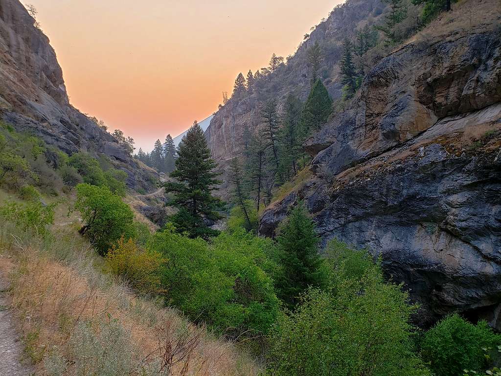
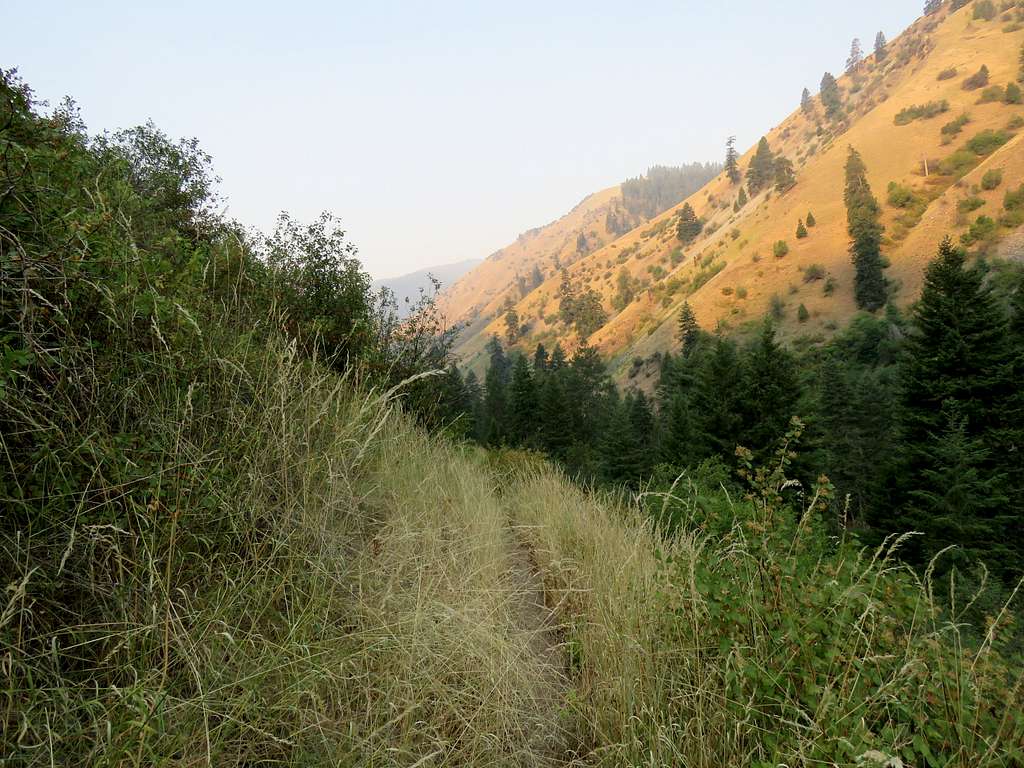
Left the vacation rental house one mile north of Riggins, Idaho at 6:10 a.m. The sky looked very smokey and remained that way all day long. I was well aware that the source of the smoke might be forest fires hundreds or even thousands of mile away but the thought that I might get caught in a local fire did cross my mind.
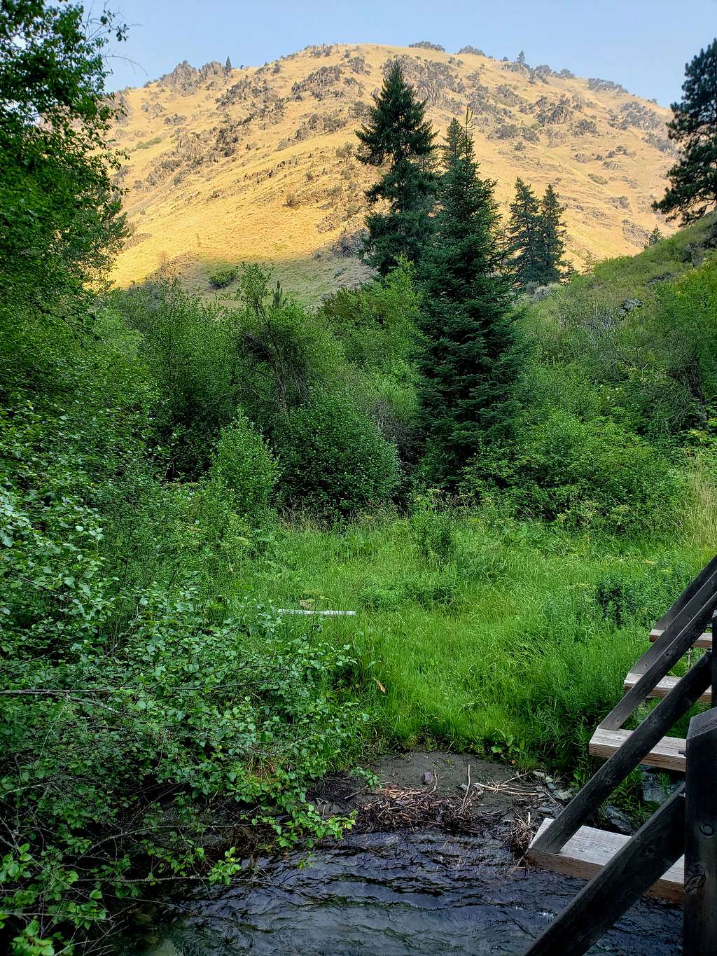
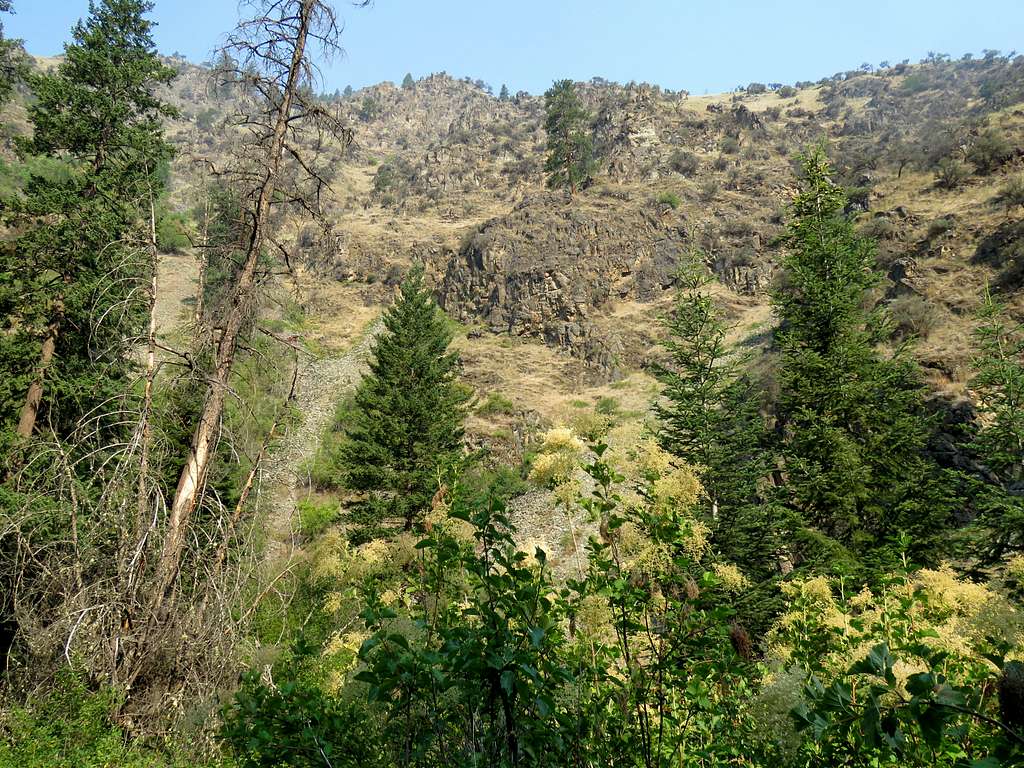
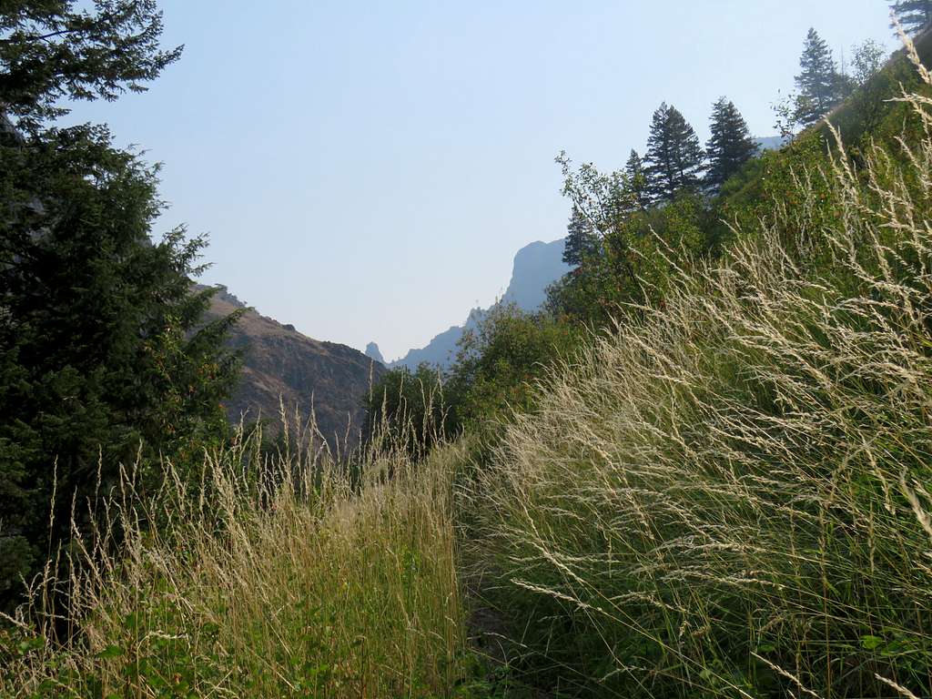
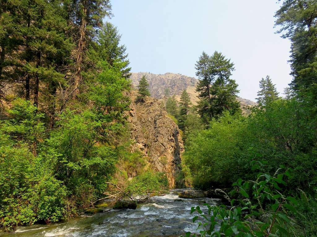
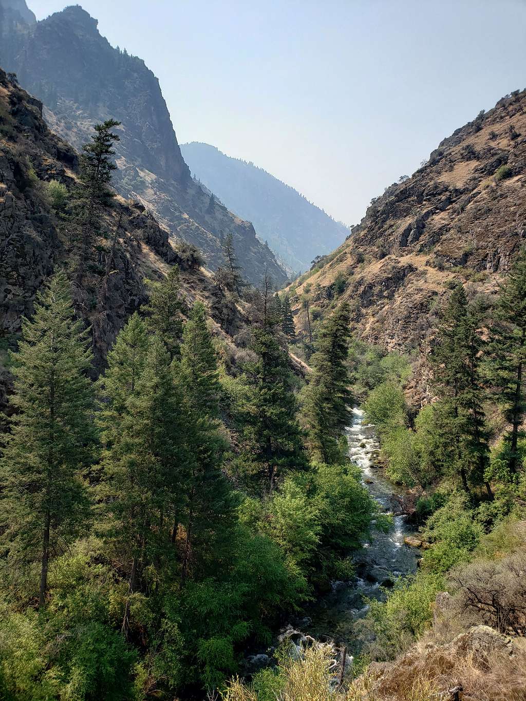
Drove 5 miles south of Riggins on Route 95 and then 3 miles on Fish Hatchery Road to the end of it at the trailhead. No one was there and I did not see any other people during the hike. Started my hike at 6:35 a.m. when it was 69 degrees F. The trail headed southwest going into a canyon and was at first 100 feet or so above the surface of the river. Looking behind me to the northeast, the smokey sky created dramatic scenes at that early hour.
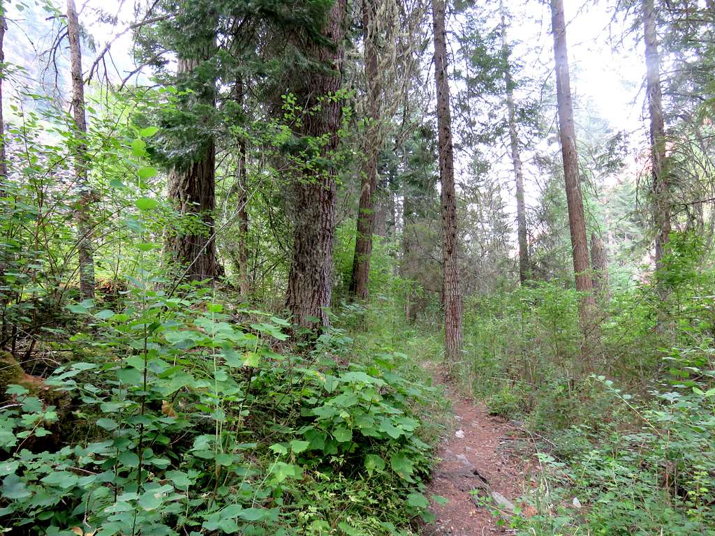
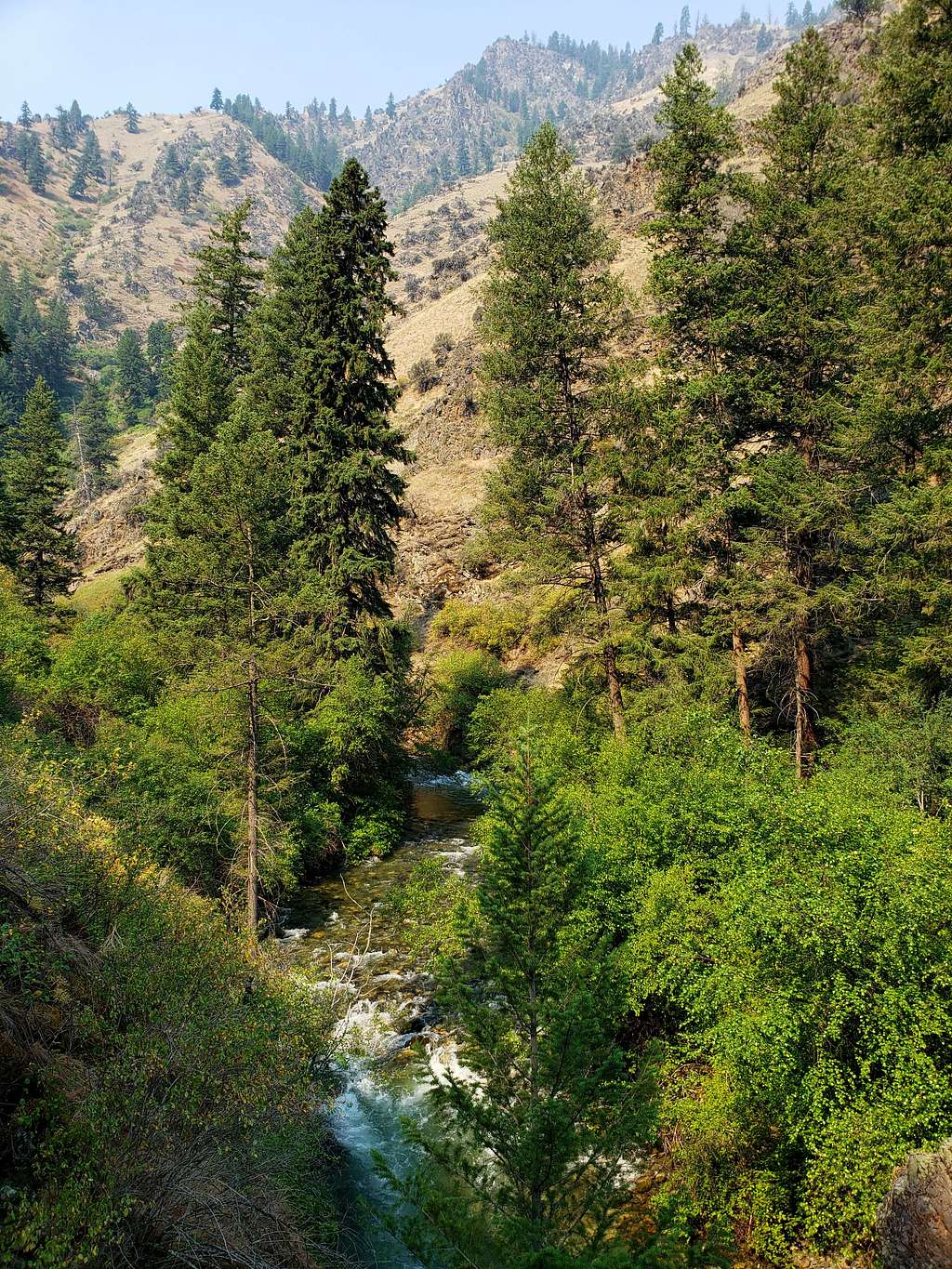
Following the trail south.
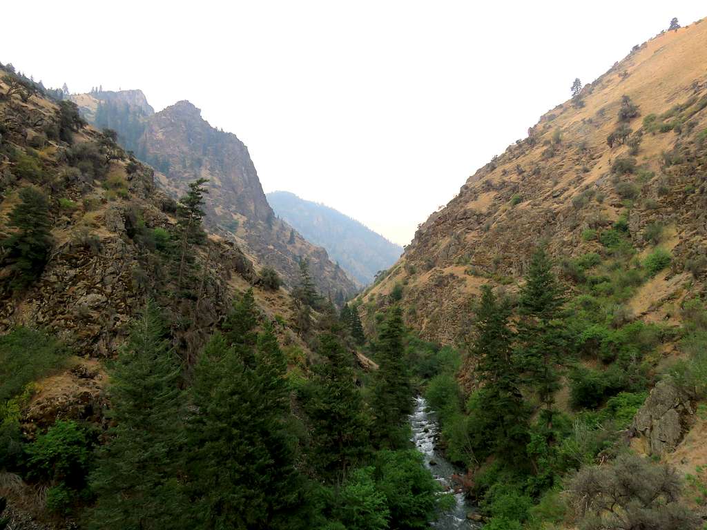
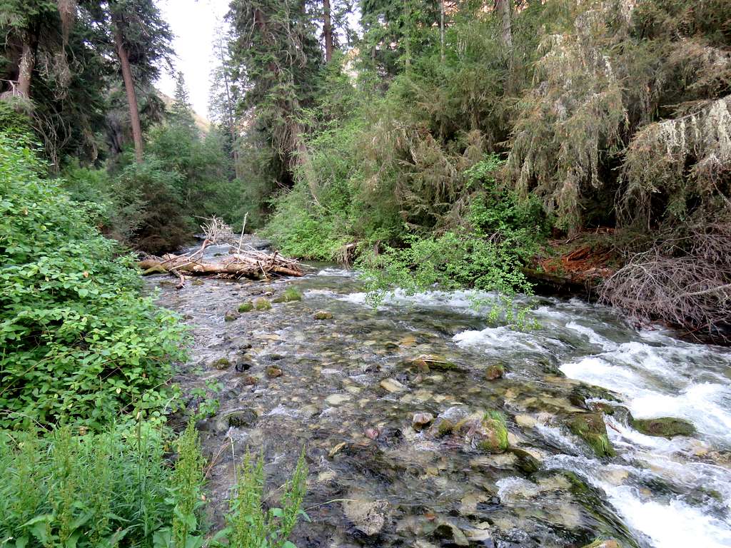
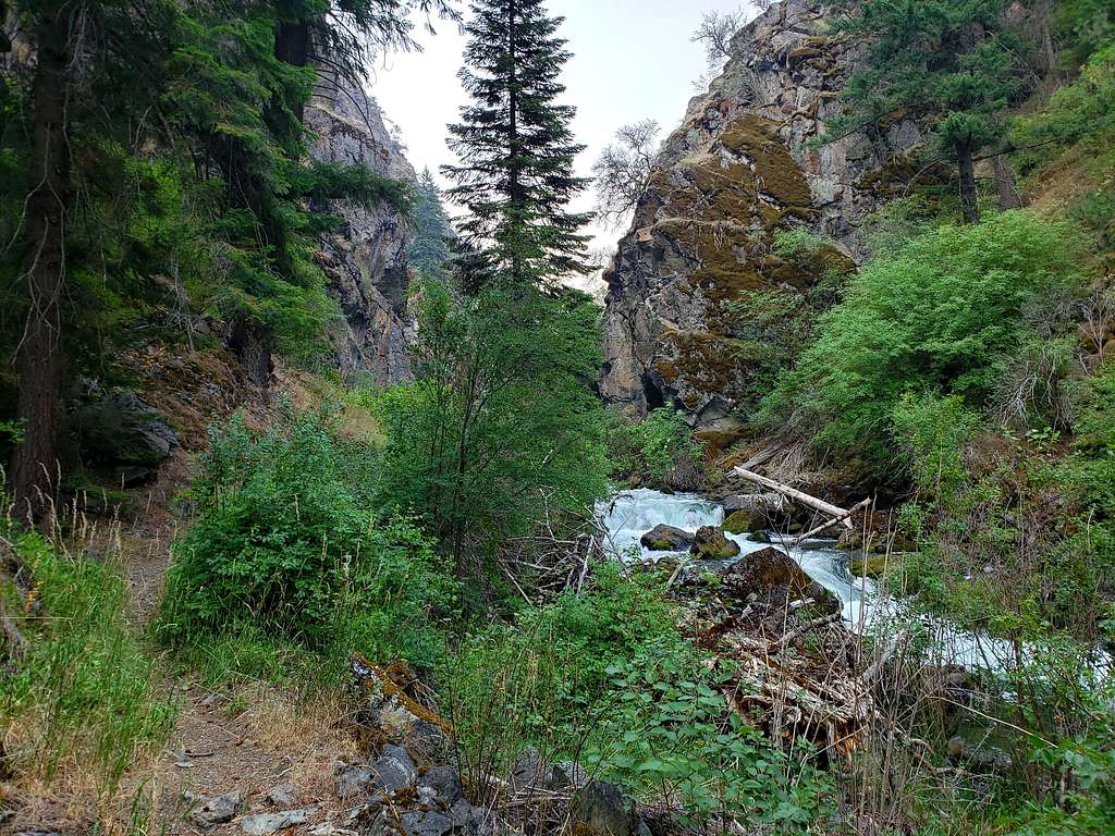
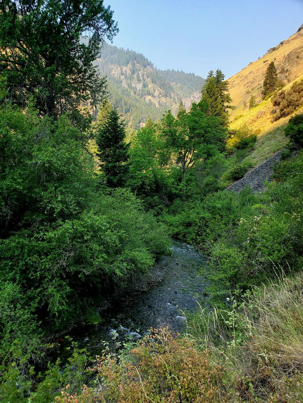
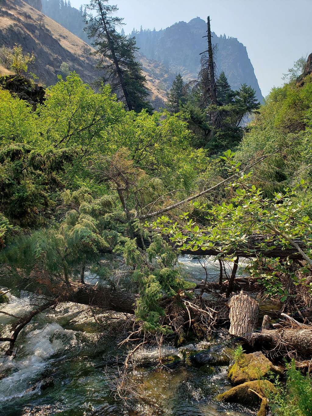
The trail went down to the level of the river which made a lot of noise. Where there were rapids, the noise increased significantly making me somewhat paranoid about exposure to loud noise given my chronic tinnitus. I did, however, have easy access to the water which did help cool me down during my return when it got hot. At 7:06 a.m. and 1.05 miles, I reached the first bridge crossing from the west to the east side of the river.
Continuing south.
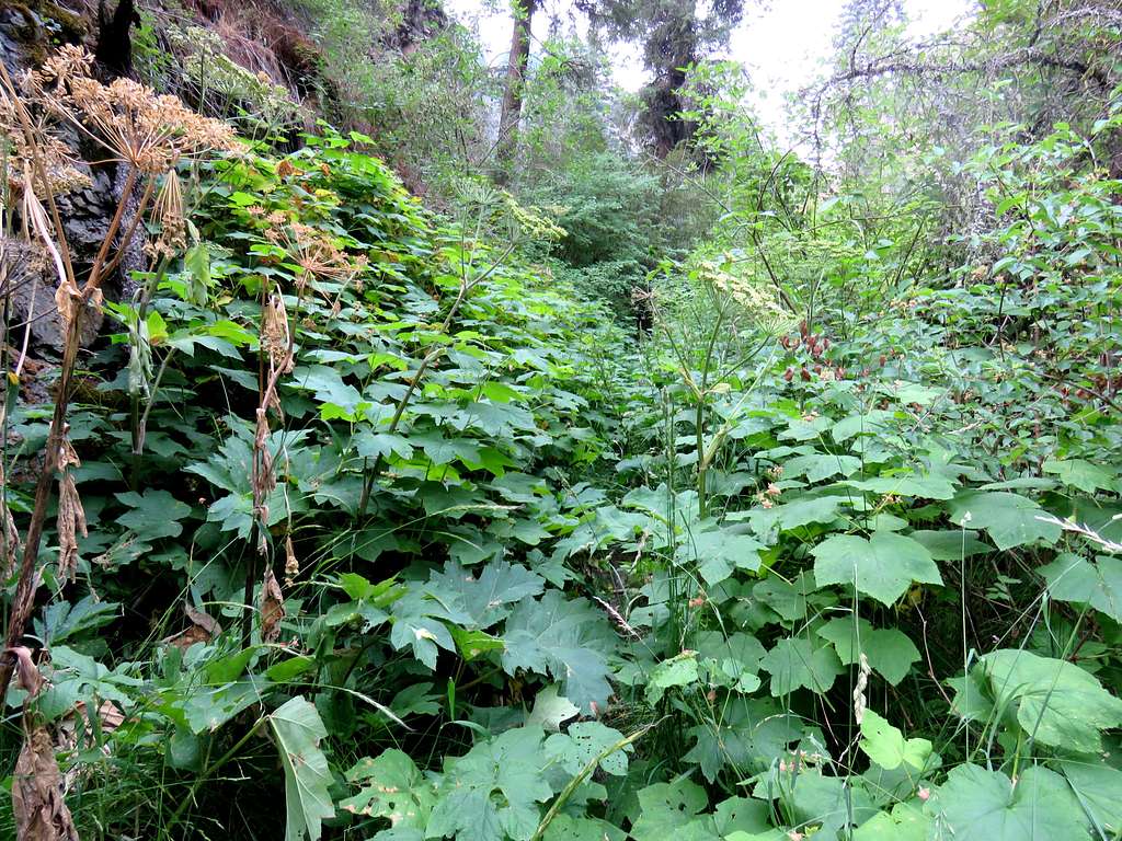
In one place, trail was hidden under dense growth.
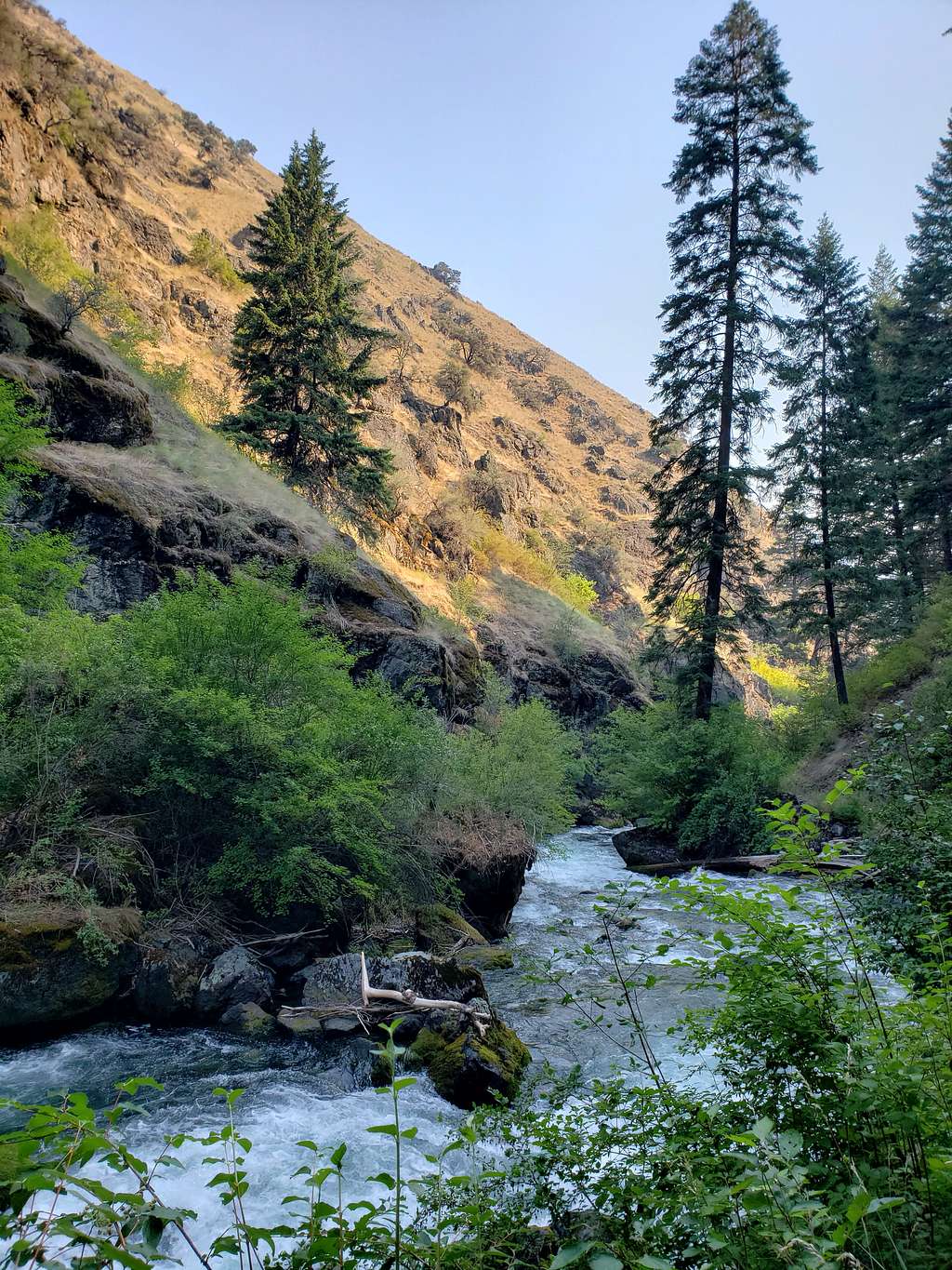
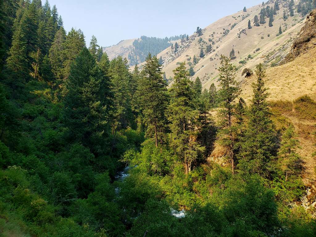
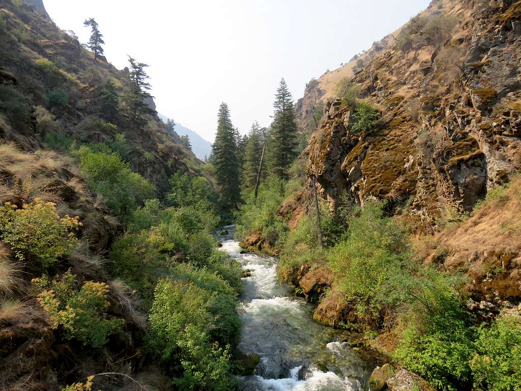
The canyon became rocky increasing the noise level.
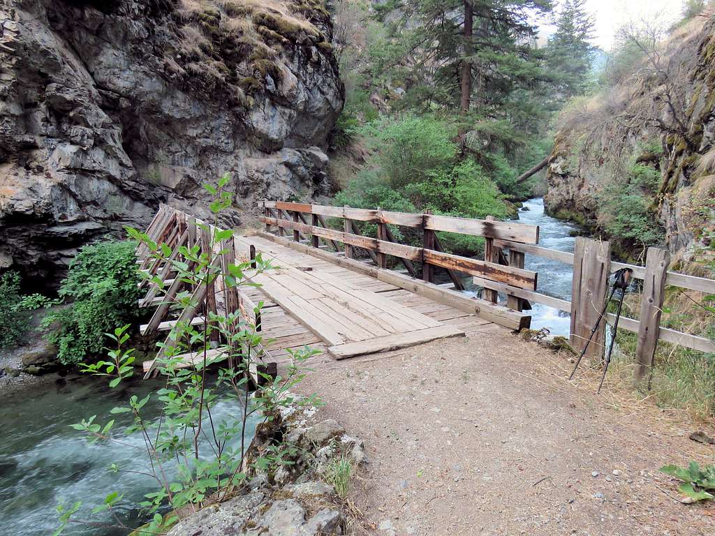
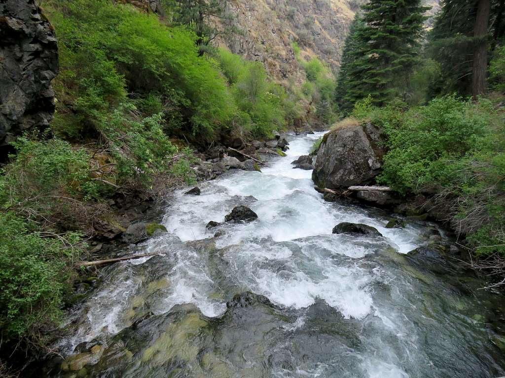
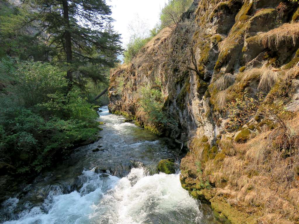
At 8:35 a.m., 4.0 miles and 2700 ft elevation, I reached the second bridge. Views of the river from the second bridge.
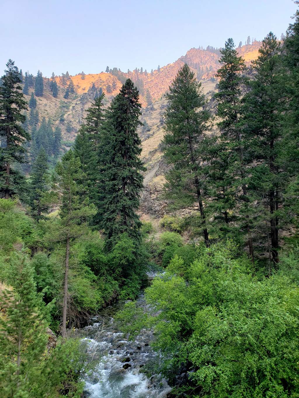
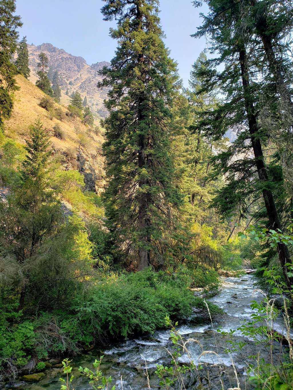
The trail went up to a maximum elevation of 2840 ft and then reached a split. One side went up to follow the West Fork of Rapid River and the other went down to reach the main river. On maps, I had seen a peninsula that rose above the junction of the two rivers. I had thought of going there but it seemed like reaching that spot required some rock hopping so I went down the trail to reach a third bridge over the west fork at 8:52 a.m., 4.47 miles and 2725 ft elevation. Sat on the bridge to eat and enjoy the views.
Soaked my hat, sleeves and pants in the river and left at 9:23 a.m. going back the way I had come.
Nice shady area by the river.
Further north.
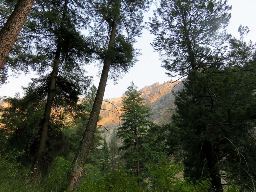
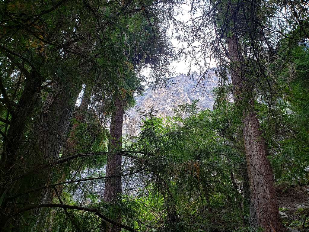
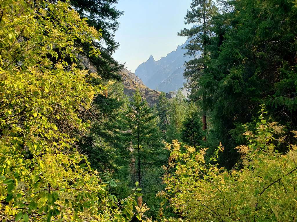
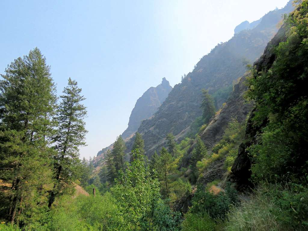
After the hike, I tried to identify this impressive horn but maps did not show anything.
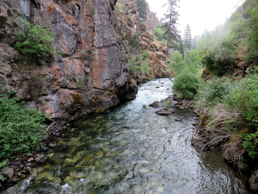
More views.
By the time I was back to trailhead at 11:57 a.m., I had wet myself in the river two more times. Temperature had risen to 85 degrees F.