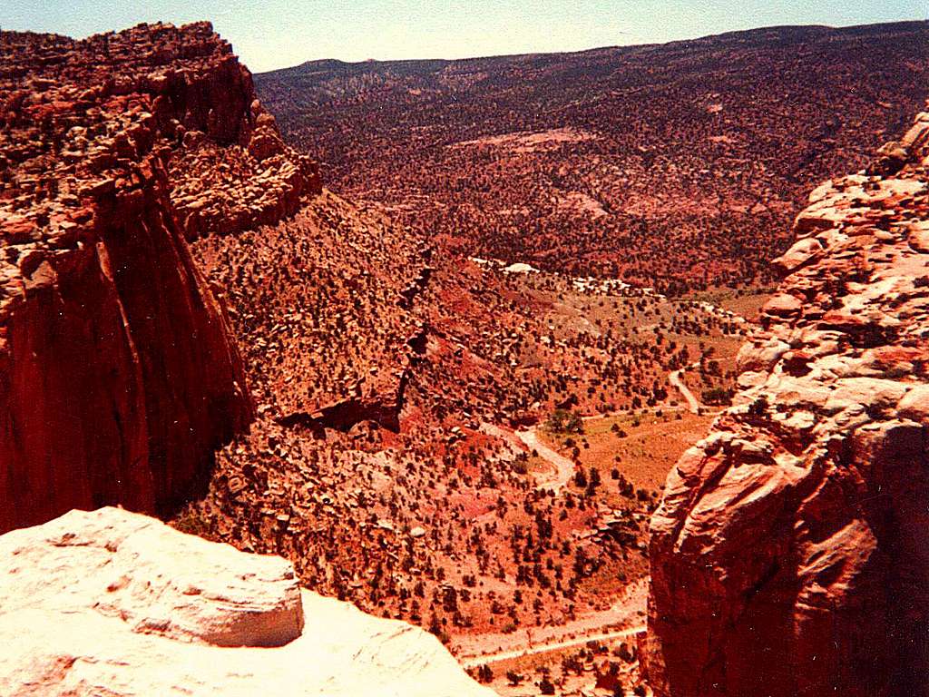
Sleeping Rainbow Ranch Road
Pleasant Creek, originating high on the Aquarius Plateau, winds it's way down into the depths of Pleasant Creek Canyon in Capitol Reef National Park. The Sleeping Rainbow Ranch Road is seen far below. Pleasant Creek joins the Fremont River inside the Park. At the town of Hanksville several miles to the east, the Fremont merges with Muddy Creek.
The combined stream below there is known as the Dirty Devil, so named by Major Powell's river expedition in 1869. (The Fremont itself was named after explorer John Charles Fremont, who passed through its headwaters area in the early 1850s.)
The Canyon is exceptionally scenic, about
three miles long through the Waterpocket Fold,
with sandstone walls rising hundreds of feet
on either side. Pleasant Creek is a perennial
stream and potable with treatment; it's
advisable, however, to always carry drinking
water in this part of Utah.
~ QUIET!!! Can't you hear the
clammer and shouts of a group of outlaws riding their
horses through here? Photo taken June 1982. ~


