Southwest Couloir Granite Peak

Southwest Couloir Granite Peak

Page Type Page Type: Trip Report
Location Lat/Lon: 45.16312°N / 109.80822°W
Date Date Climbed/Hiked: Sep 14, 2007
Activities Activities: Hiking, Mountaineering, Trad Climbing, Ice Climbing, Scrambling
Seasons Season: Spring, Summer, Fall, Winter

Southwest Couloir Granite Peak

Southwest Couloir Approach Map
Southwest Couloir
I first saw this approach to Granite Peak (12,799') while driving over Beartooth Pass with my family on our way to North Dakota for a family reunion. It wasn't until 15 years later when Splattski and I started going for state highpoints that we investigated this approach to Granite Peak. From Boise, it's about 450 miles to Cooke City and the southern approach. The northern approach is almost 650 miles. The difference in driving distances and some good beta from Summit Post on the southern approach made this an easy decision. We also wrestled with the thought of having to carry rock gear for a pitch or two of 4th and easy 5th class climbing on the traditional route. Don't take pro and you either commit or go home. Take it and not use it and it's nothing but dead weight. We liked the thought of going light so we left all of our climbing gear at home, grabbed a current NOAA report and blasted off for Cooke City.

Sept 13, 2007: ~8 miles to camp w/1400' of gain; 4 hours
Sept 14, 2007: ~7 miles w/2600' of gain to the summit, then ~14 miles to the car; 12 hours

Trip Report by Splattski - Granite Peak, MT

The Approach to Lone Elk Lake

Southwest Couloir
The trailhead

Southwest Couloir
Lady of the Lake, lake

Southwest Couloir
On the trail to "Heartbreak" hill

Southwest Couloir
Tom's boulder route

Southwest Couloir
Heartbreak hill 

Southwest Couloir
The top of Heartbreak

Lower Aero Lake
Lower Aero Lake

Southwest Couloir
Lower Aero Lake

Southwest Couloir
Lower Aero Lake from the pass 

Southwest Couloir
Shelter Lake

The Sky Top Approach

Sky Top
Working the boulders

Southwest Couloir
A mirror image sunrise 

Southwest Couloir
The Sky Top drainage

Granite Peak
A smoky view of Sky Top 

The Climb to the Top

Granite Peak
Approaching Granite Peak 

Southwest Couloir
The moraine

Looking up the Southwest Couloir
Scrambling in the couloir

Southwest Couloir
Sky Top glacier

Southwest Couloir
The 5th class alternative

Southwest Couloir
Sky Top glacier from the couloir

Southwest Couloir
The top of the Southwest Couloir 

Southwest Couloir
Tom on the summit 

Summit of Granite Peak
The summit of Granite Peak 

The Descent

Southwest Couloir
Upper couloir

Southwest Couloir
The moraine and Sky Top drainage

Southwest Couloir
Lower couloir

Southwest Couloir
Sky Top drainage

Our Exit

Southwest Couloir
Lower Sky Top drainage

Southwest Couloir
Our campsite at Lone Elk Lake

Southwest Couloir
Hiking out

Southwest Couloir
Crossing the Broadwater River 


Comments

Post a Comment
Viewing: 1-4 of 4
sm0421

sm0421 - Apr 10, 2013 4:01 pm - Hasn't voted

It feels different

Bob, thanks so much for the report and the map, we went in aug 2012 using your report and to me the final sections feels different... steep and exposed with loose rocks and I was scared. I didn't calm down and turned back at the beginning of the chimney climb. (almost no snow!) I will be back better prepared and with some ropes, thanks, Alex

reboyles

reboyles - Apr 10, 2013 9:37 pm - Hasn't voted
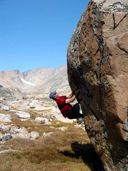
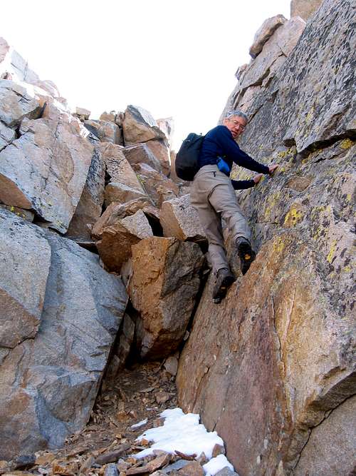
Re: It feels different

In all fairness, all 3 of us have many, many years of hard, technical rock climbing and soloing experience so our perspective is a bit warped. However, my feelings are that if any single person in a group is not comfortable then it's time to rope up, set solid anchors, belay and do it right or turn back. My motto is "if it ain't fun then don't do it". I think I learned more about climbing from my failures than I did from my successes.

Best regards - Bob

sm0421

sm0421 - Apr 11, 2013 10:17 am - Hasn't voted

Borah and Kings

I'm visiting Borah/Kings in August and I've been referring to your Borah album to decide if we should bring protection for the 'class3' section, based on your experience on Borah/Granite, what is your recommendation?

Thanks,
Alex

reboyles

reboyles - Apr 11, 2013 11:59 am - Hasn't voted
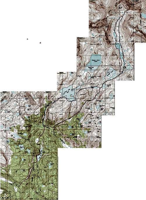
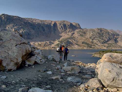
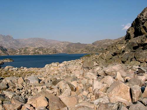
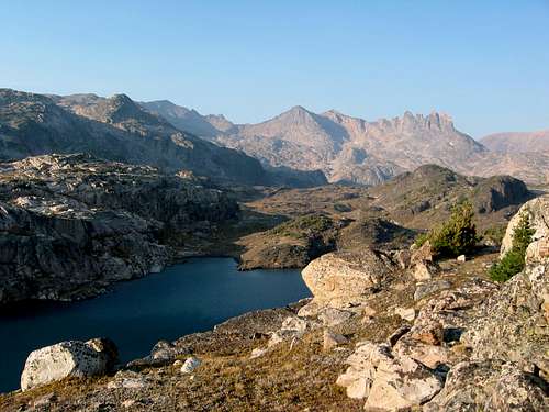
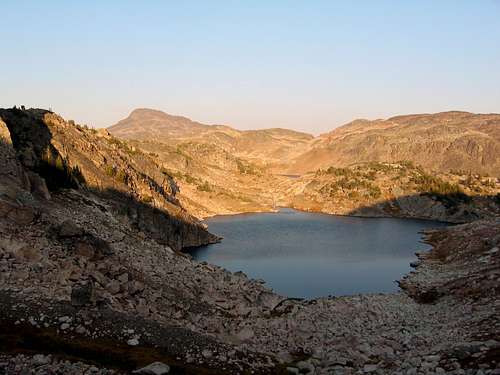
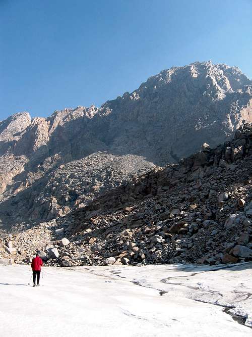
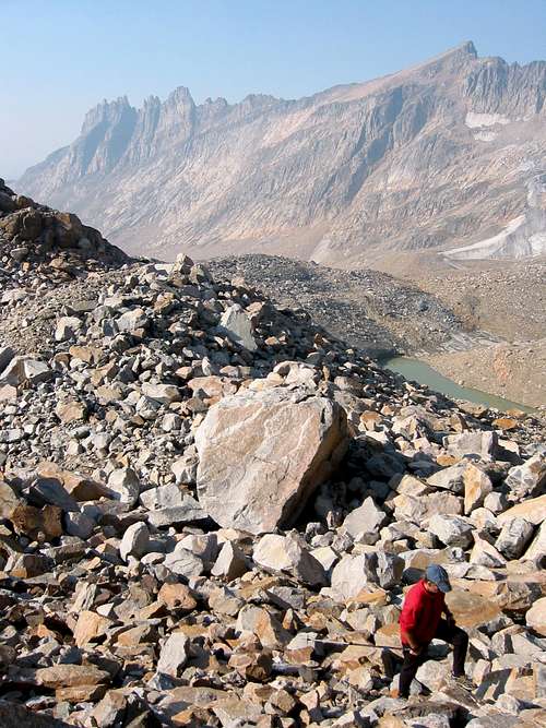
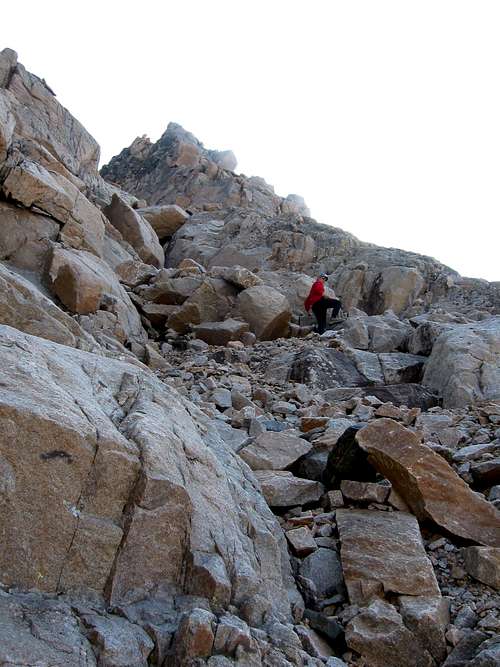
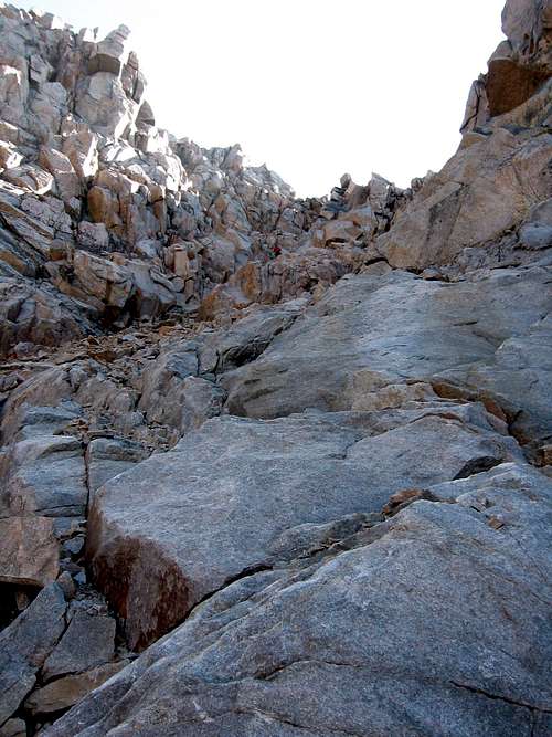
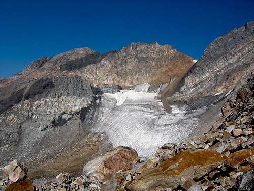
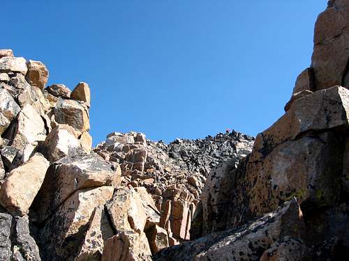
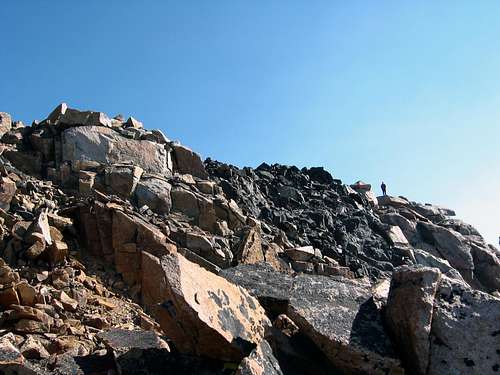
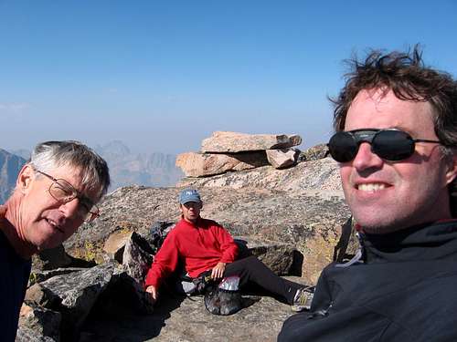
Re: Borah and Kings

Most people do not use a rope or protection for Borah's standard route (Chicken-Out-ridge) after mid to late summer. The rating for both routes is the same (Class III) and the exposure is similar. However, the SW Couloir is very remote and if you get into trouble back there it is going to be serious, no matter what. In August (on a weekend) you might be climbing Borah with 50 people or more and you might have to wait in line for people to cross CO ridge. I know that doesn't decrease the difficulty but it sure makes for a different state of mind if you can sit and watch other people cross the ridge first. On Granite, we went off route a little bit on the way up and the climbing quickly turned to 4th and 5th class. On Borah, the route is much more obvious. As for rock fall, Borah is a pile of fractured limestone and Dolomite similar to the Canadian Rockies where the words "scree and choss" must have originated. As for gear, I always bring a pair of collapsible poles and dry socks for the trip down. I pretend I'm skiing a double-black diamond downhill run on the descent because it is very similar. I'm planning on going again in August so write me a private message before you go and maybe we can hook up. Bob

Viewing: 1-4 of 4