
-
 3294 Hits
-
 71.06% Score
-
 1 Votes
|
|
Route |
|---|---|
|
|
46.69010°N / 12.44650°E |
|
|
Hike |
|
|
Half a day |
|
|
Walk-Up |
|
|
Approach
The ascent of the mountain starts at the small village of Hollbruck, which you reach from Kartitsch in the Tyrol Gailtal Valley. Follow the "Getting There" Instructions on the main pageRoute Description
- Start altitude: 1360mm
- Summit altitude: 2591m
- Prevailing exposition: N
- Type: 1h 30min over forest roads, 2h over paths
- Protection: marked but without security
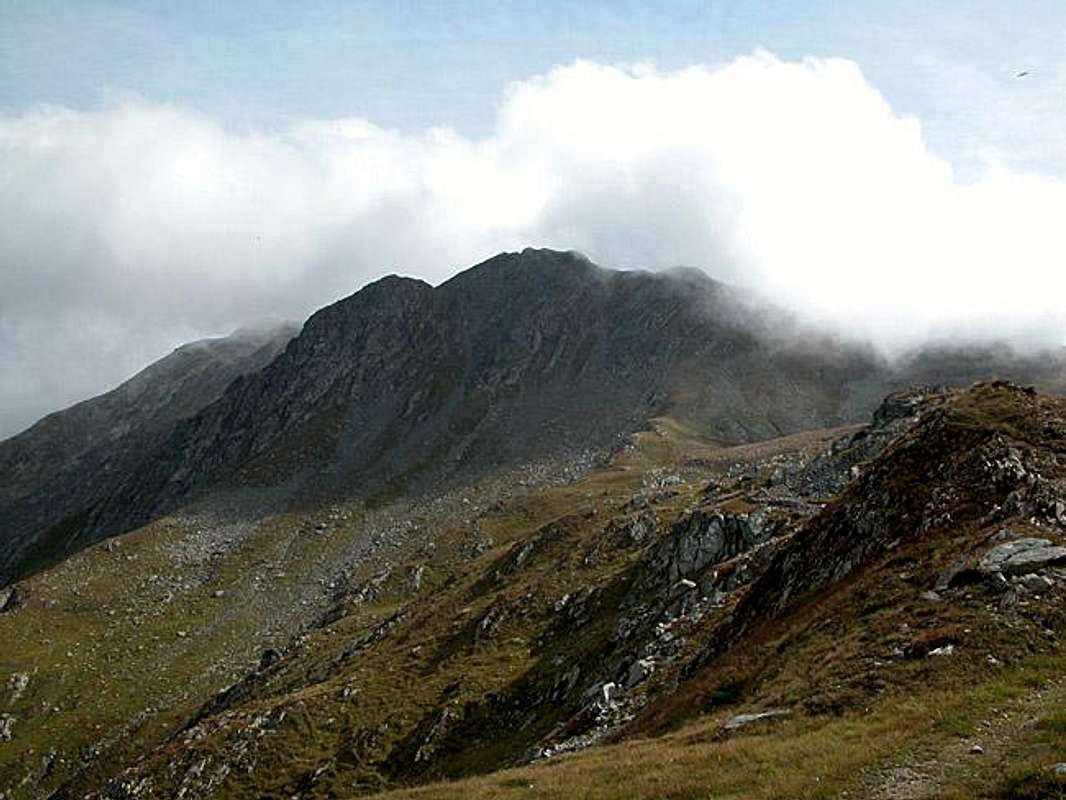
This is the normal route ascent to Demut. It follows a forest road for most of the distance. The trail is marked 467. At an altitude of 1525m you can choose between the road and a short cutting trail which runs close to the Hollbrucker Bach Creek. Both recombine at the Ochsenboden Alm at 1955m.
From here on the ascent trail (again marked 467) heads west to climb for a bivouac at 2300m. The trail now heads south-west, directly to Hochgränten Pass (war cemetery, heart shaped lake). From the pass turn east along a well worn pass that leads to the western face of Demut. It traverses, rather crisscrosses, the slopes of the mountain, more or less heading in north-westerly direction. There is one exposed spot where rails have been placed to bridge a gap with e a steel net to walk upon.
The trail soon turns east again, touching a WW I position which still shows shelves created by the soldiers 90 years ago! The path descends to a shoulder in which a fort from WW I times has been eaten away by time and weather. A ridge with trenches to its eastern side follows and soon you'll reach the Demut summit.
 |  |  |