
|
|
Mountain/Rock |
|---|---|
|
|
34.48620°N / 120.24064°W |
|
|
Download GPX » View Route on Map |
|
|
Hiking |
|
|
Spring, Summer, Fall, Winter |
|
|
1035 ft / 315 m |
|
|
Overview
Peak 1035 ft rises above the Pacific Ocean in Gaviota State Park near Santa Barbara, California. The aerial distance between the summit of the peak and the Pacific Ocean is 1.2 miles. Peak 1035 ft has less than 300 ft of prominence and is therefore not a ranked peak.
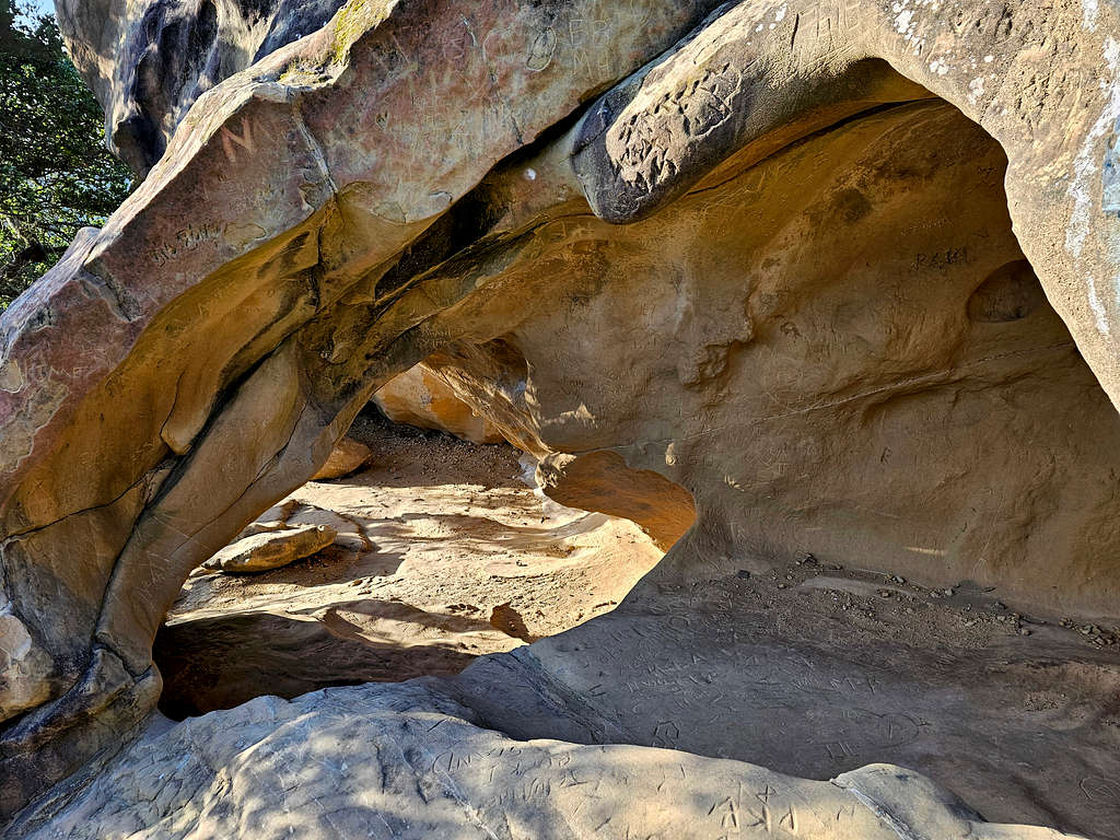
The Wind Caves Trail starts near the ocean and takes you up to an elevation of 650 ft where you will encounter a number of caves. Following the trail further north, you will reach Fire Lookout Trail. Turning east will take you to the top of a 827 ft spot that rises directly above the Gaviota Canyon, at the bottom of which Highway 101 runs. The west branch takes you to the base of Peak 1035 ft where a beaten path can be followed to the summit. Unfortunately, I found the summit very overgrown with limited views. I was, nevertheless, able to step on a rock and get good views of the ocean.
Traffic noise from Highway 101 was audible during the entire hike.
Getting There
From Santa Barbara, CA, drive 34 miles west on Highway 101. Just after where the highway turns north leaving the coast, turn left onto Gaviota Beach Road. Drive 0.3 miles to a fork. Left will take you into Gaviota State Beach Park and will require payment at the gate. Stay right and go 0.15 miles to the trailhead for Wind Caves Trail.
Route/Trip Report
Elevation at the start of the hike: 75 ft
Summit Elevation: 1035 ft
Hike Length as shown on the map: 5.84 miles
Total Ascent: 1925 ft
May 1, 2024
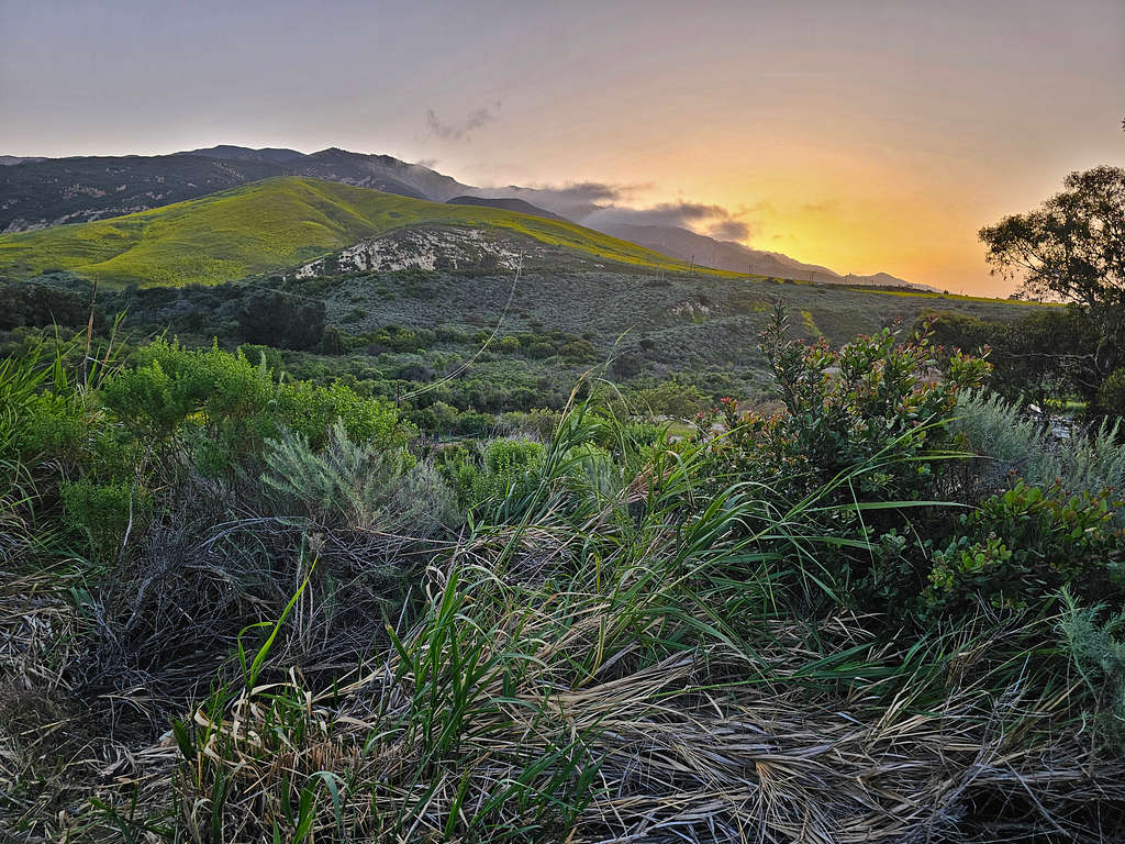
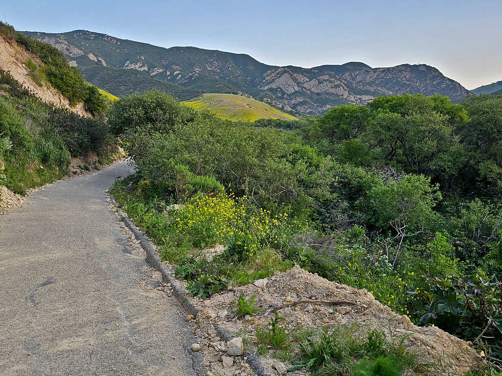
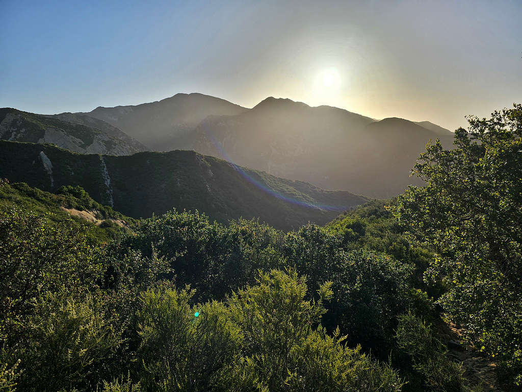
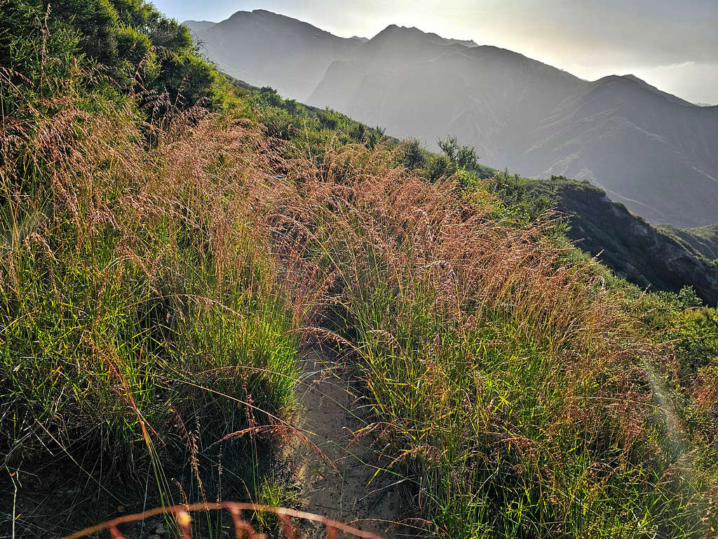
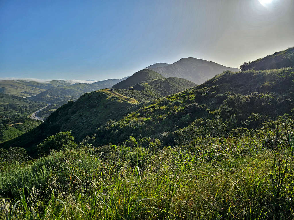
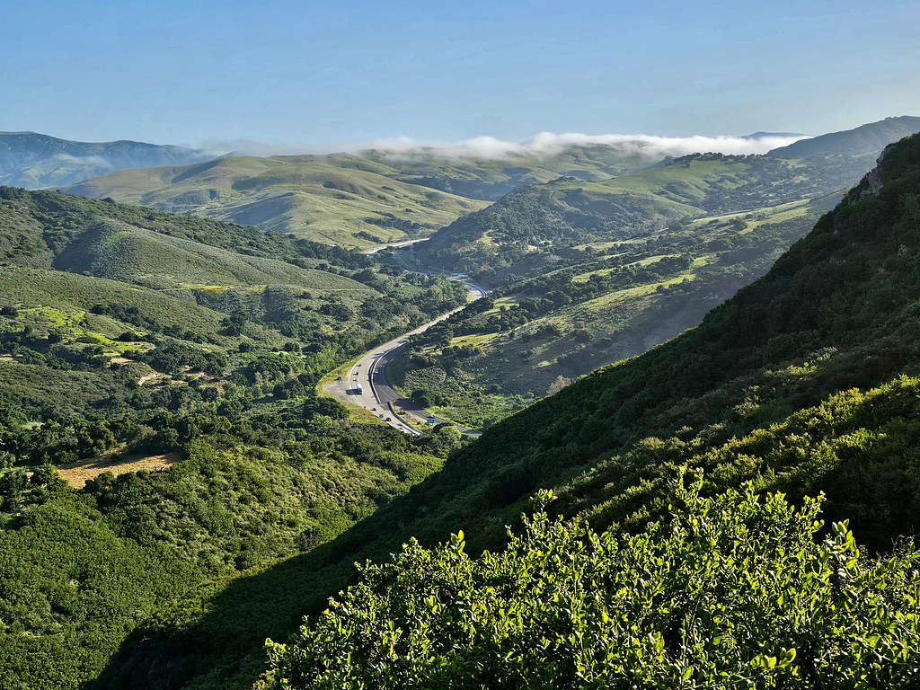
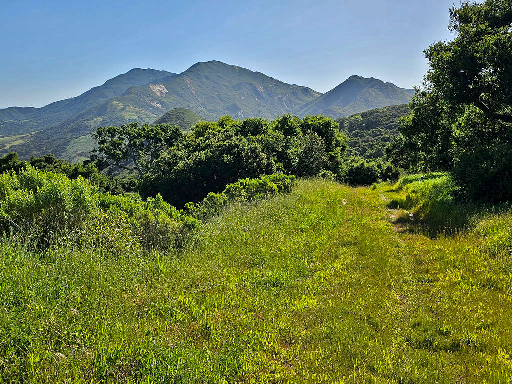
Started my hike at 6:20 A.M., elevation 75 ft heading north on the trail which was a narrow paved road. Highway noise from Route 101 remained audible all day long but to my surprise, I did not see anyone during the hike. Beautiful early morning views to the northeast.
The trail went downhill to a minimum elevation of 30 ft. A cold wind was blowing. Soon Peak 1035 ft and Point 827 ft (Fire Lookout Viewpoint) came to view.
Looking east.
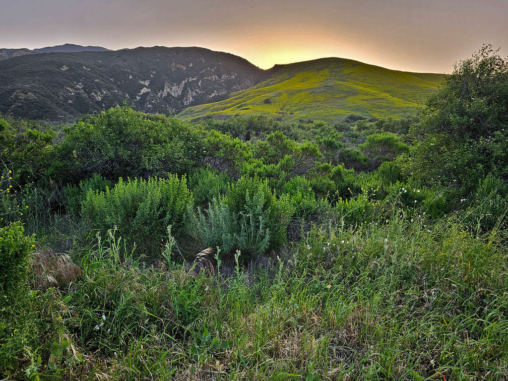
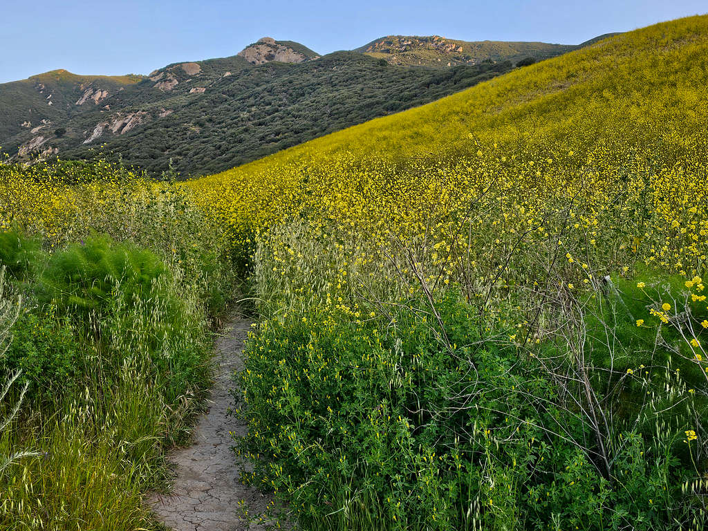
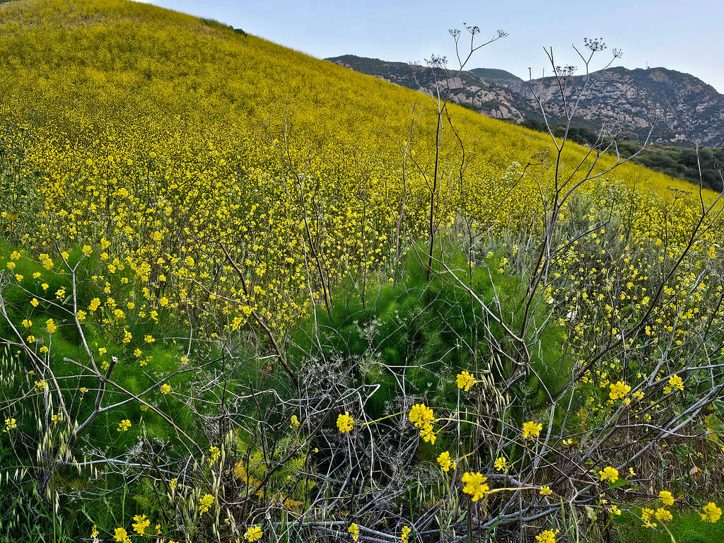
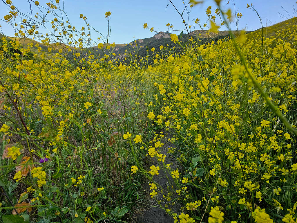
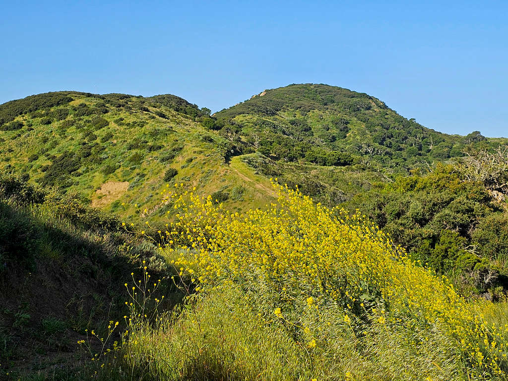
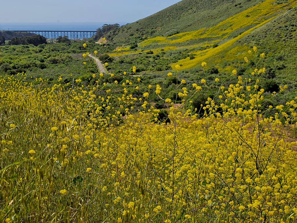
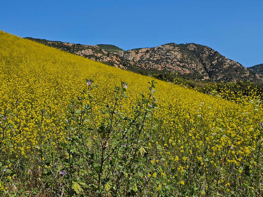
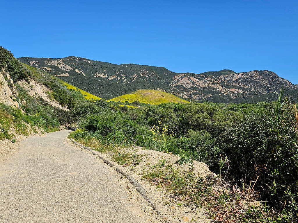
After 0.6 miles, the trail to the Wind Caves split on the left. It went through a spectacular yellow flower field.
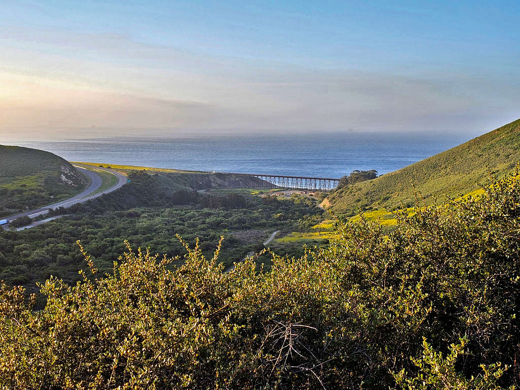
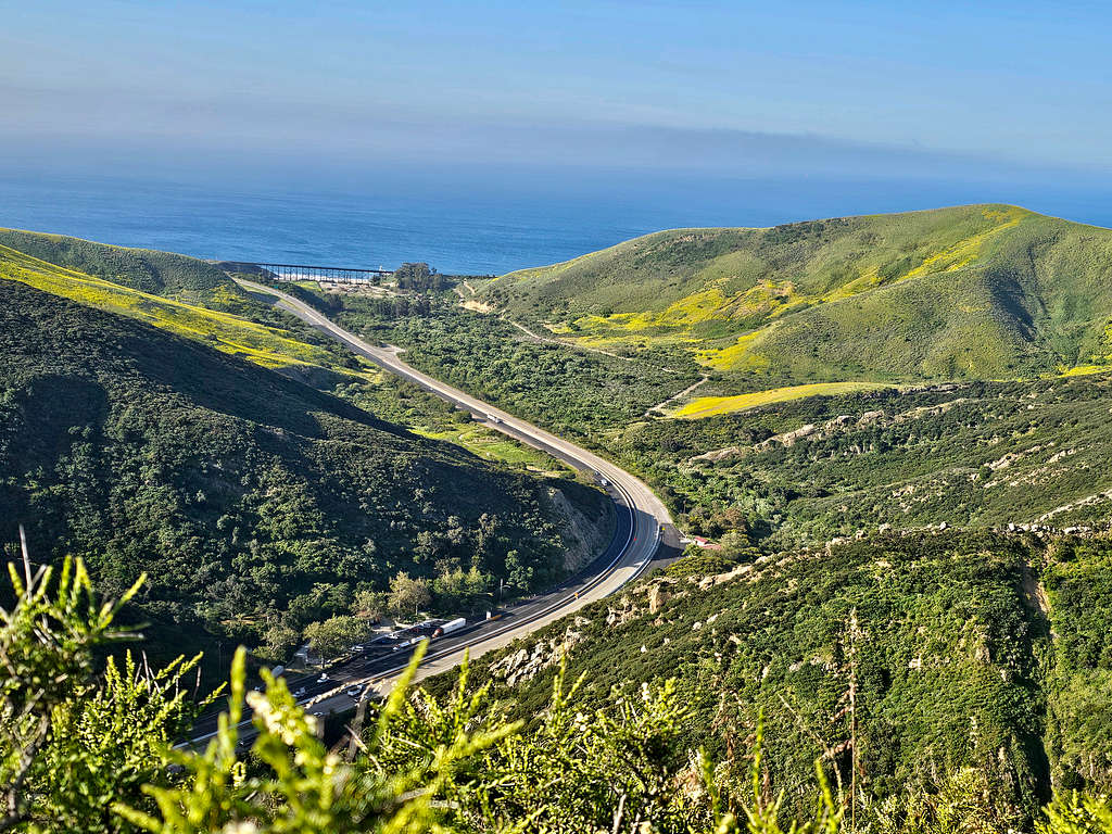
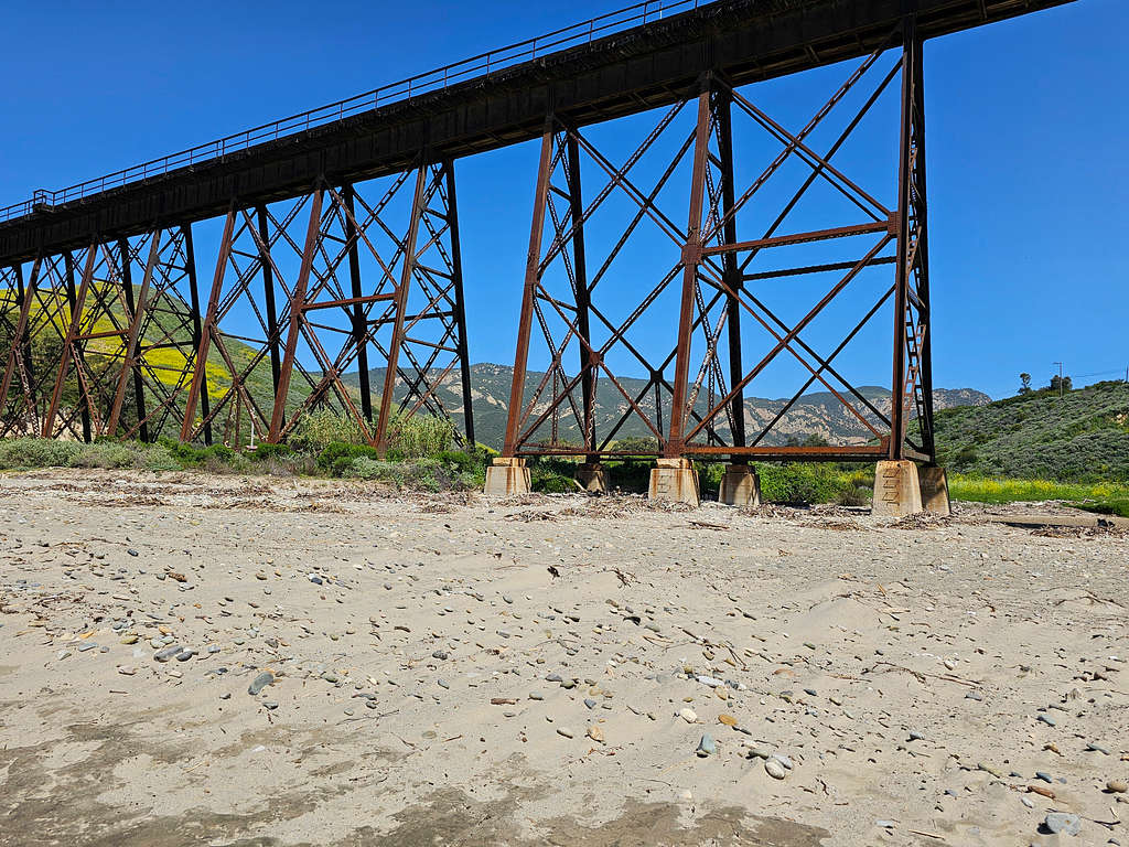
Looking back at the train bridge in Gaviota State Beach.
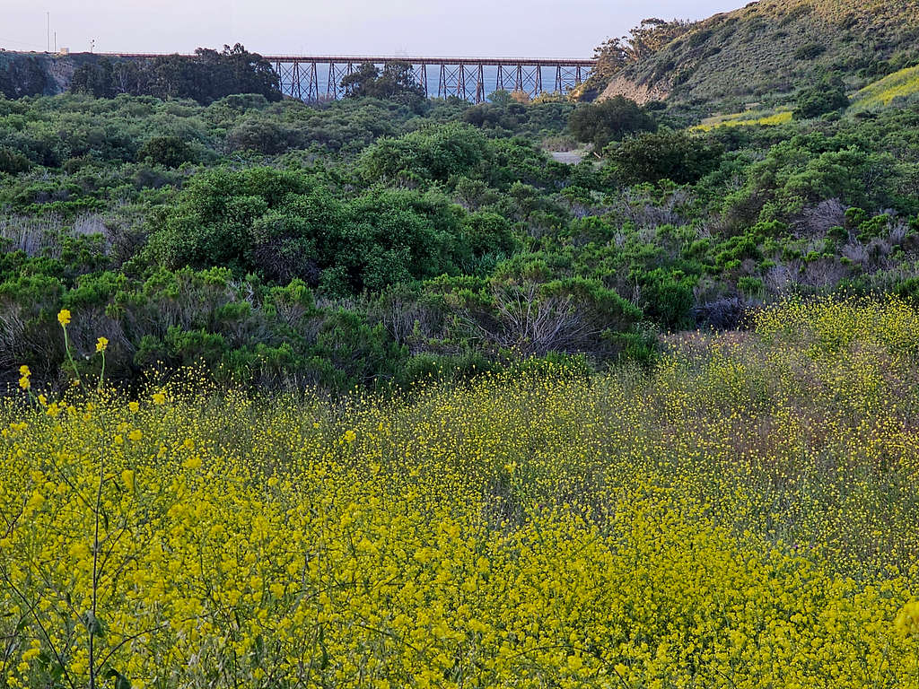
The same bridge, Route 101 and the Pacific Ocean.
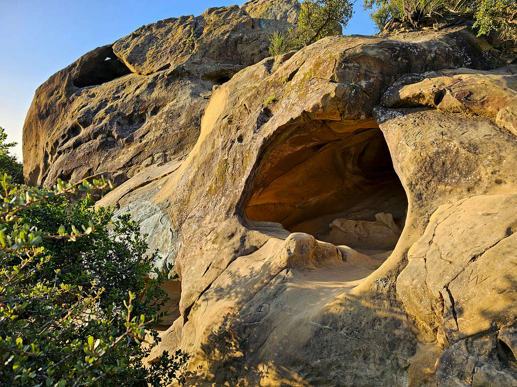
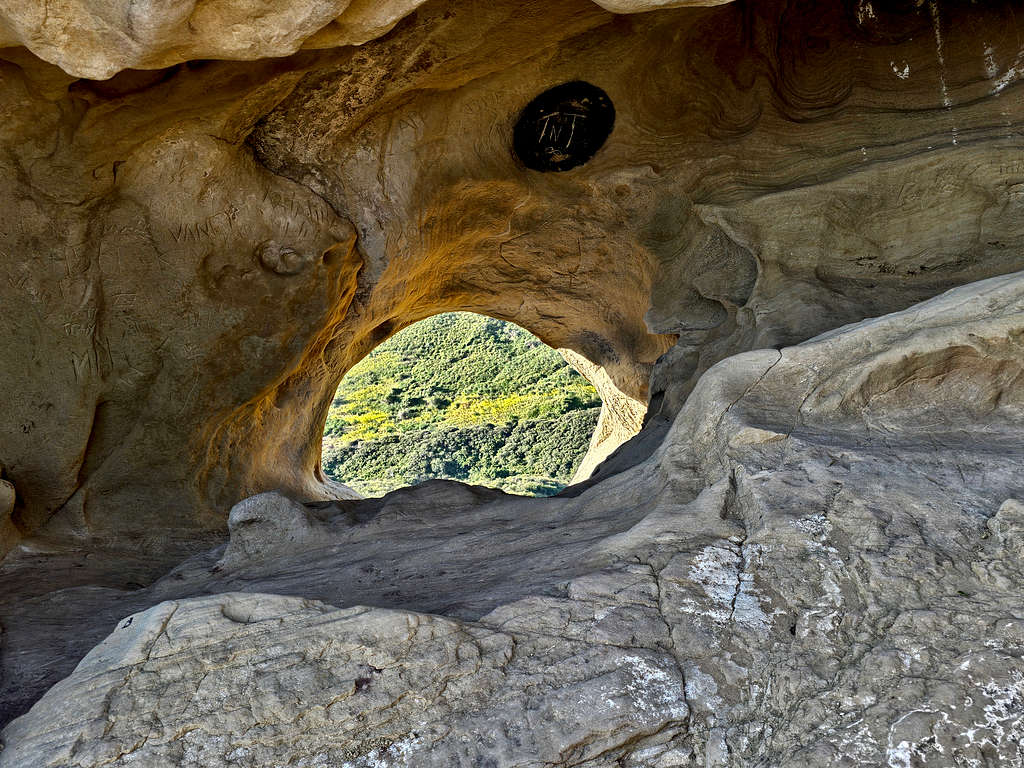
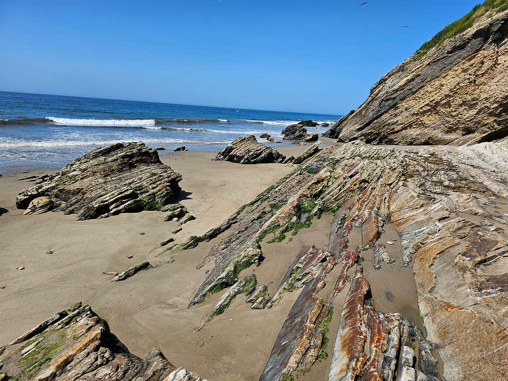
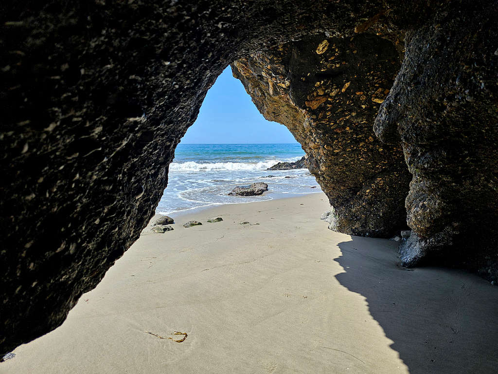
Approaching the Wind Caves.

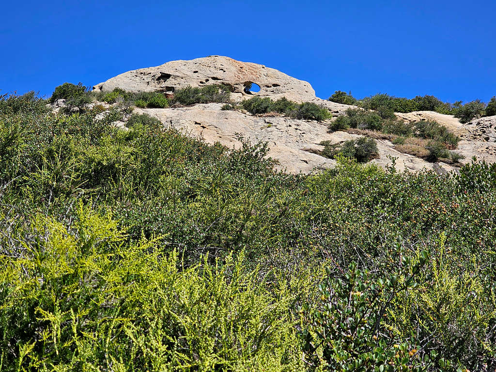
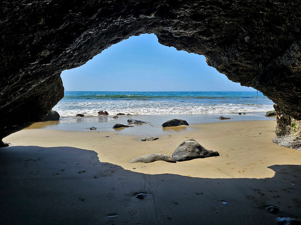
Reached the first cave at around 600 ft of elevation.
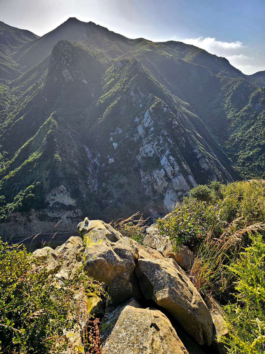
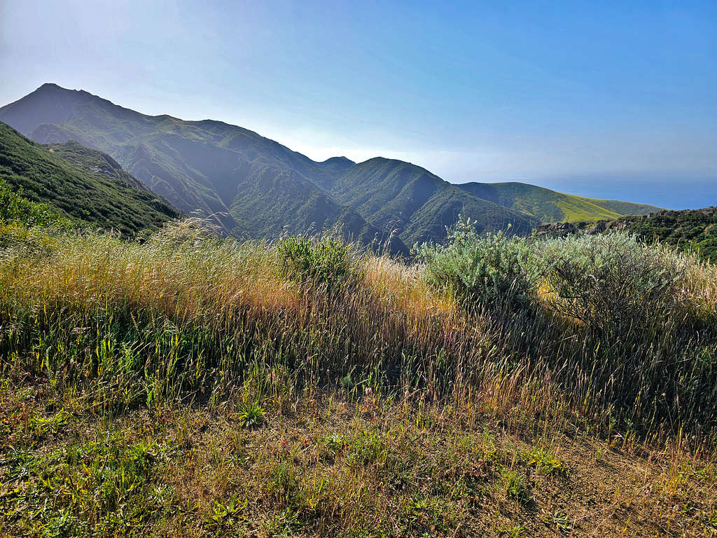
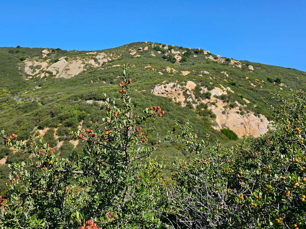
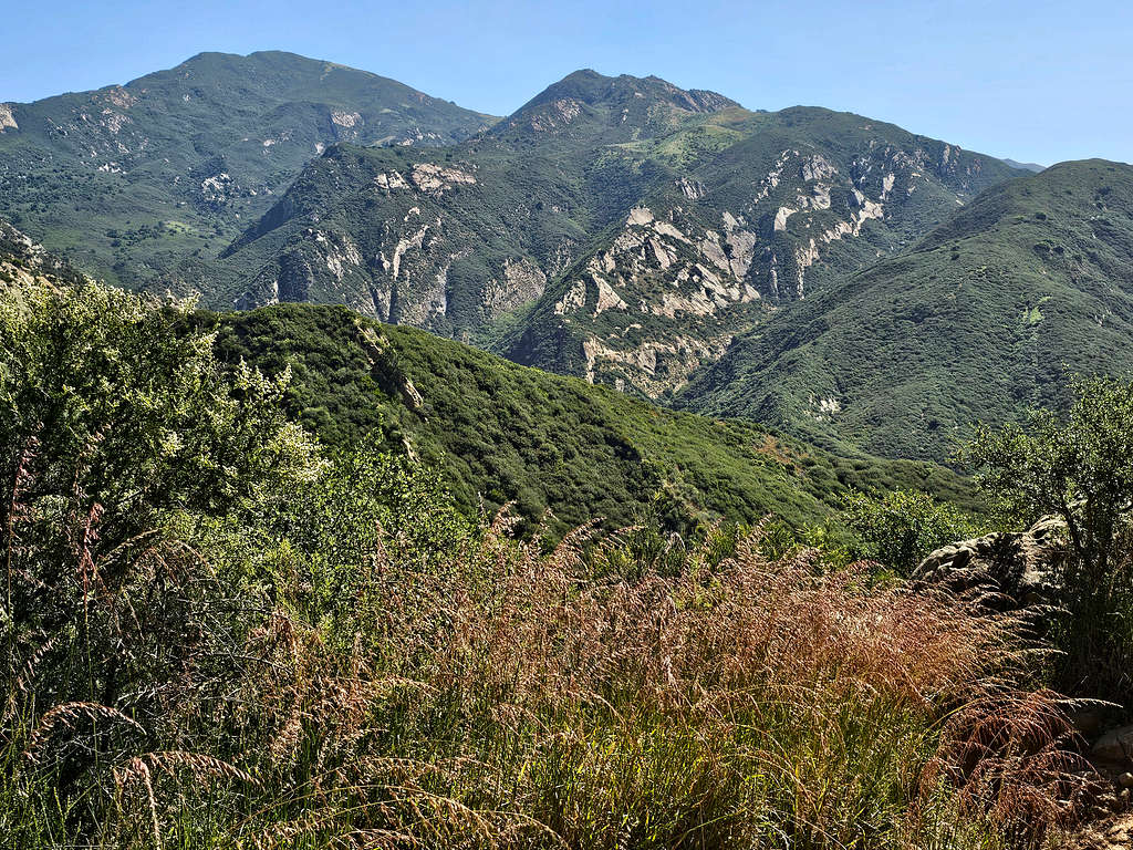
Looking east at Gaviota Peak.
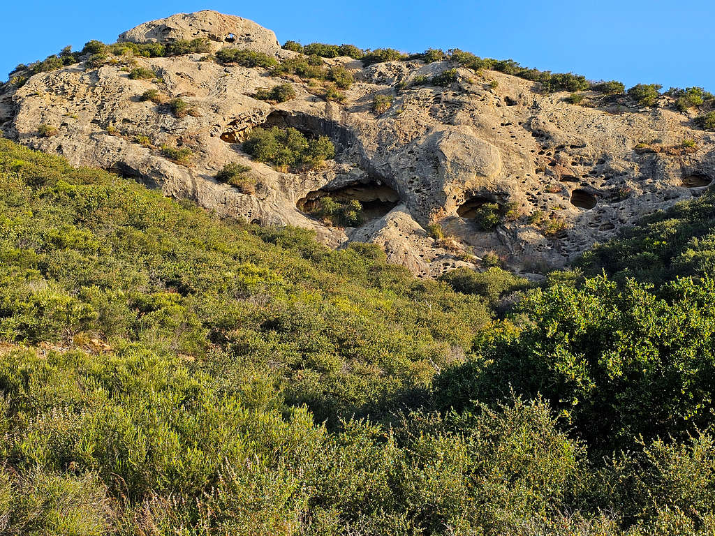
More Wind Caves.
Bridge, Route 101 and the Pacific Ocean again.
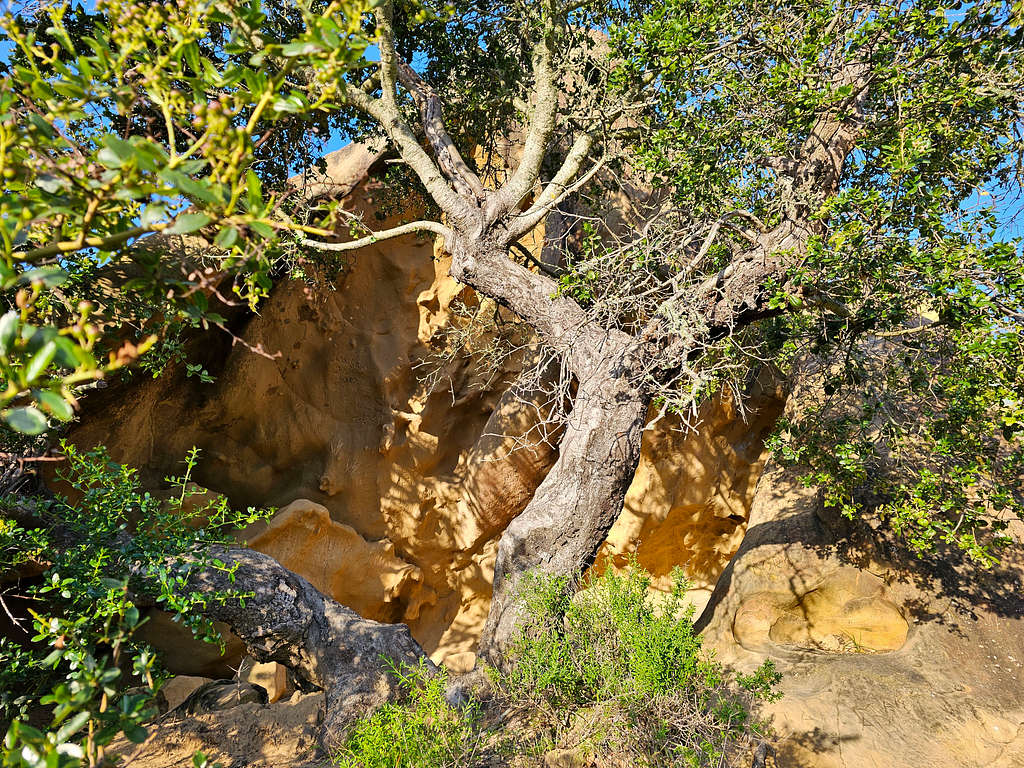
The other side of the cave I had seen from below.
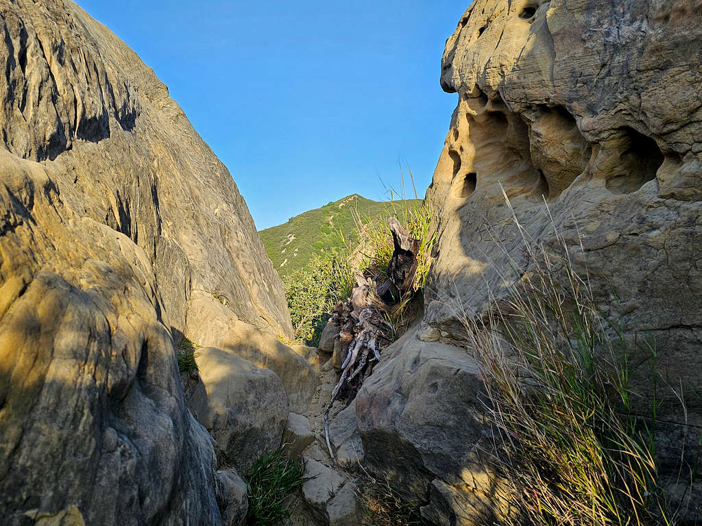
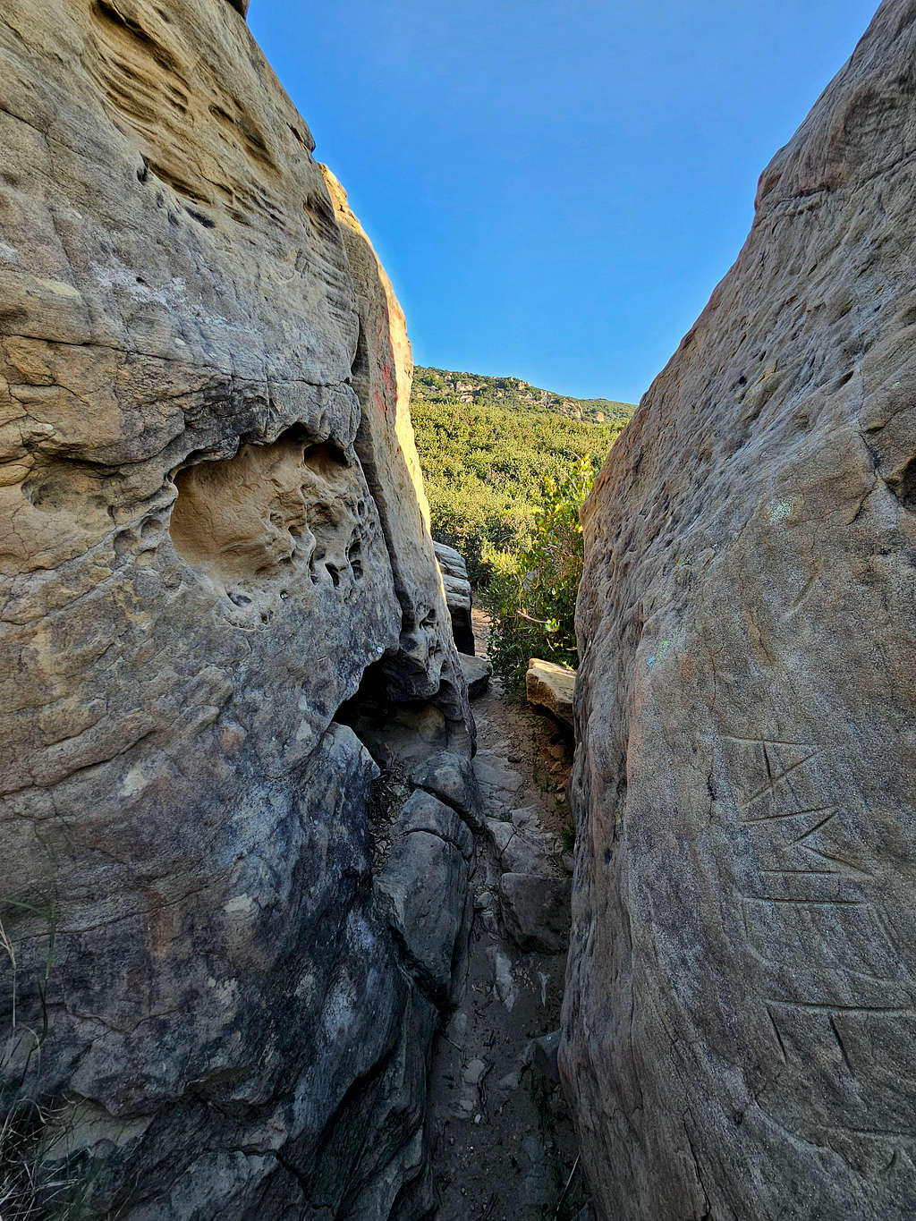
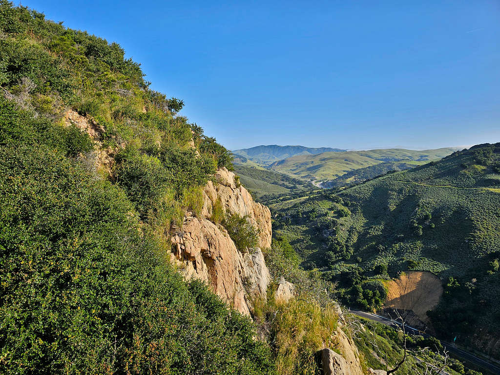
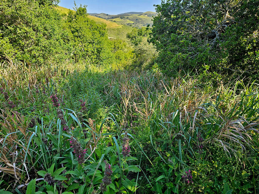
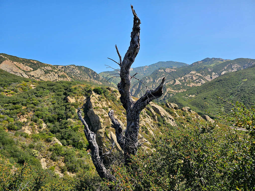
Beyond the caves, the trail was in places overgrown but still easy to follow. Fortunately, I did not step on or even see any snakes in the dense grass. View of Gaviota Peak to the east.
Point 649 ft to the south. The train Bridge and the Pacific Ocean also visible.
Went up to a 860 ft saddle and then descended on the other (north) side on an overgrown trail until at 7:51 AM, 1.83 miles and 770 ft elevation, I reached a wide trail that obviously used to be a dirt road.
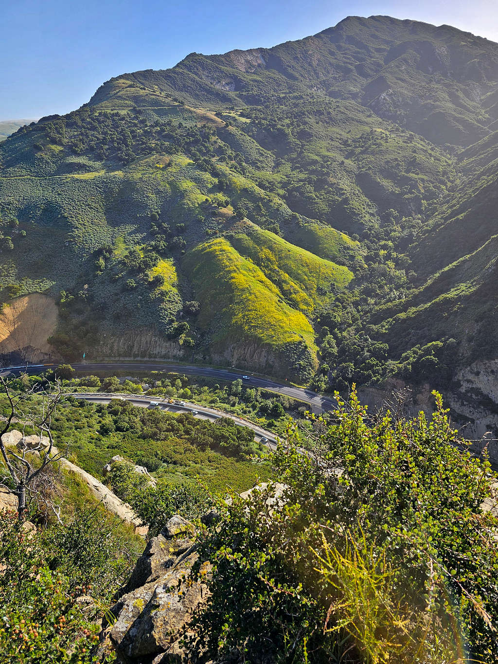
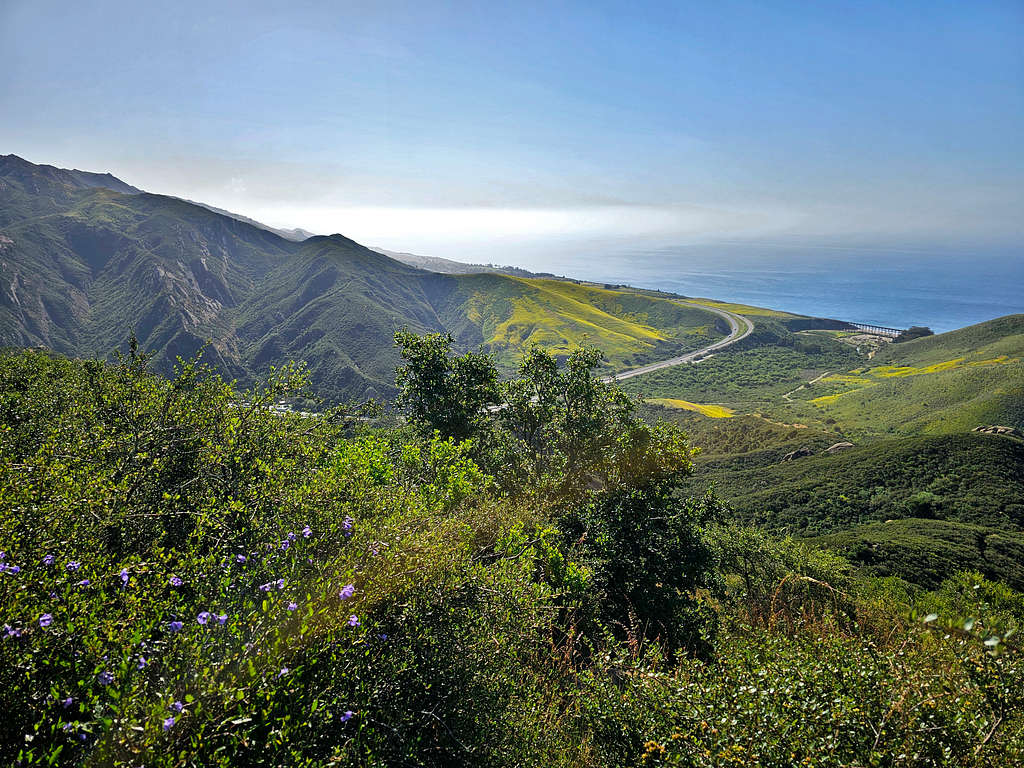
Turned right (east) and began to hike toward Fire Road Overlook. View of Gaviota Peak.
Point 1714 ft.
Looking north, zoomed view of Route 101.
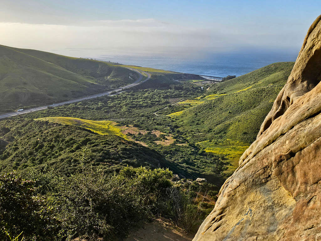
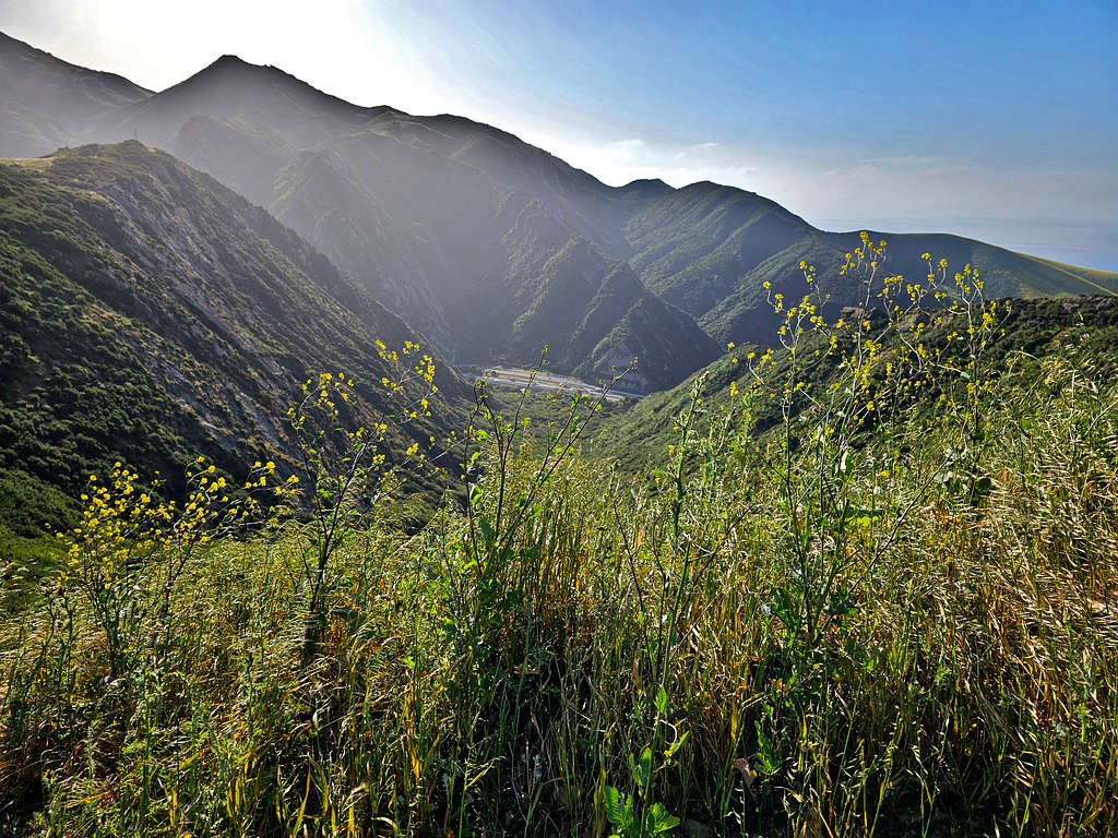
At 8:09 AM I reached Fire Road Overlook (Point 827 ft) where there was a communications antenna. A path went further east downhill through the dense bush until it reached the top of a cliff where Route 101 could be seen 650 vertical feet below.
View of Route 101 and Gaviota Peak.
Point 1714 ft.
Gaviota Beach, train bridge, Pacific Ocean and Point 649 ft.
Looking north.
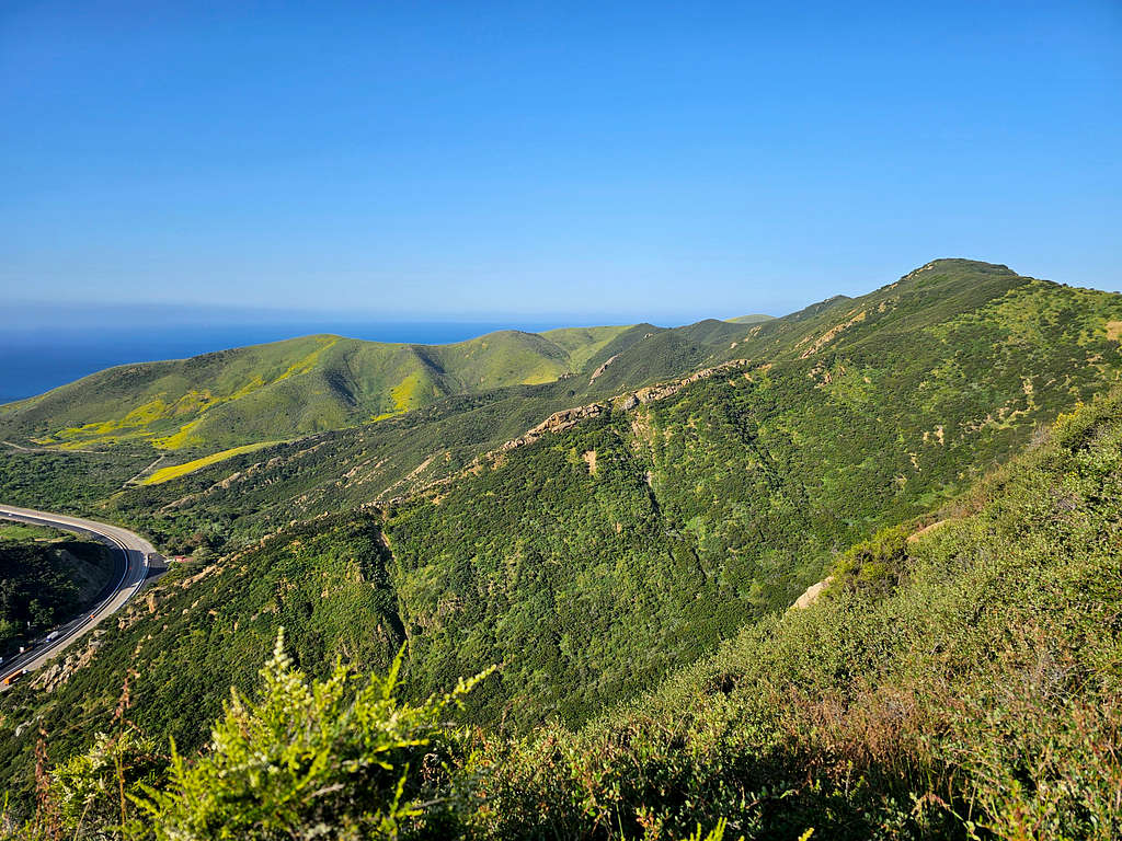
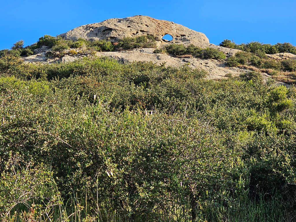
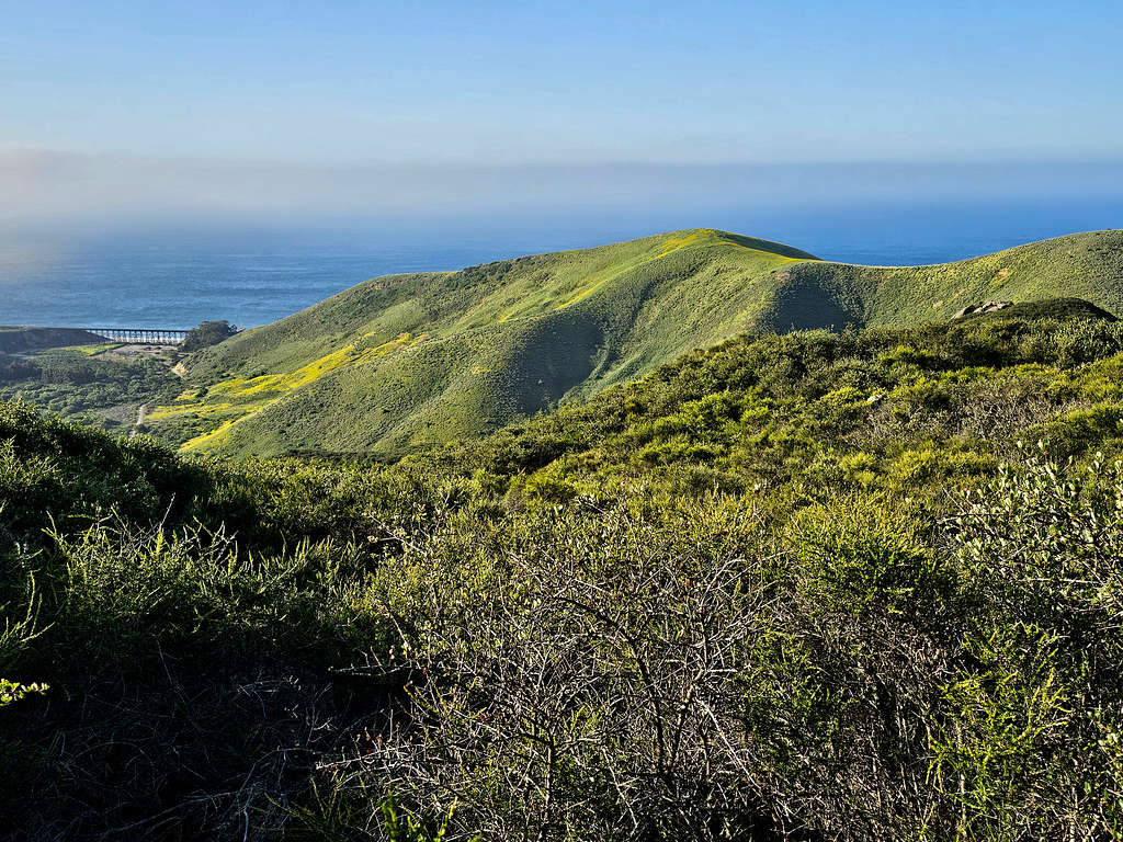
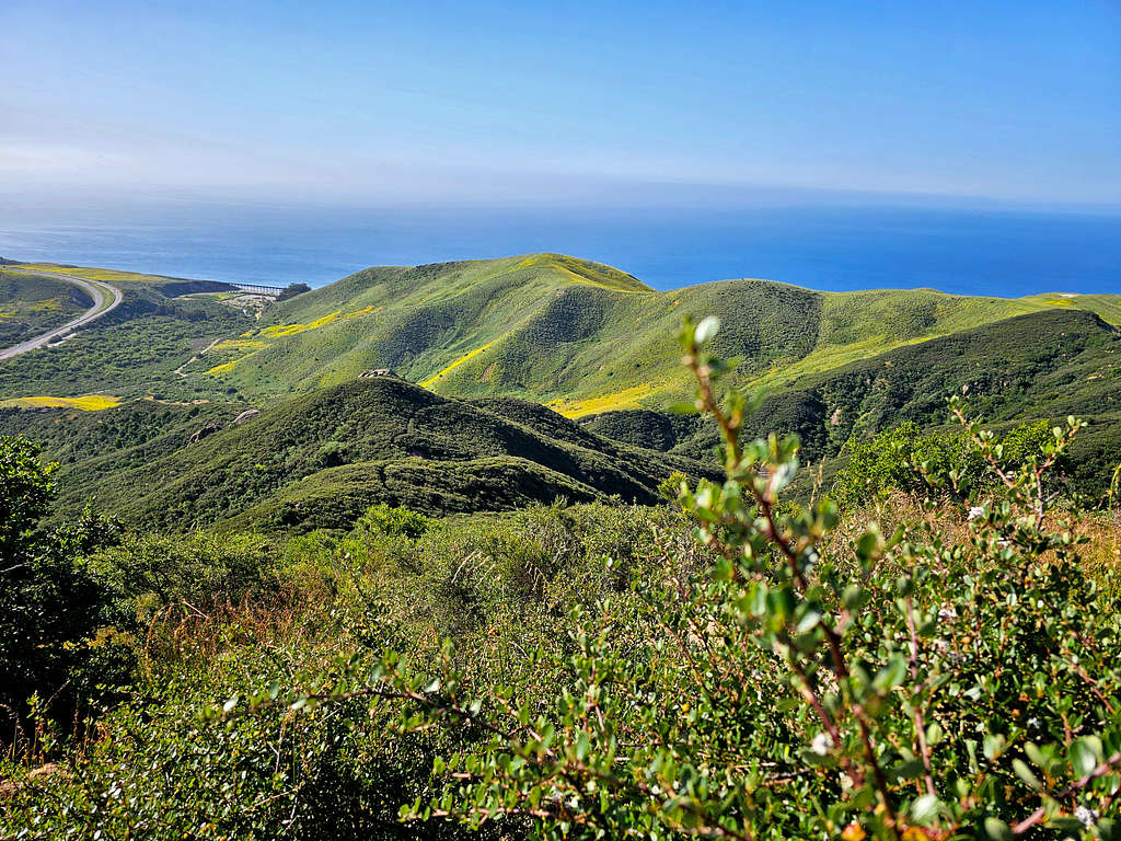
Peak 1035 ft, my next destination.
Went back up to the antenna, sat there to eat and rest. Left at 8:25 AM and 2.5 miles of hiking going back the way I had come. Peak 1035 ft.
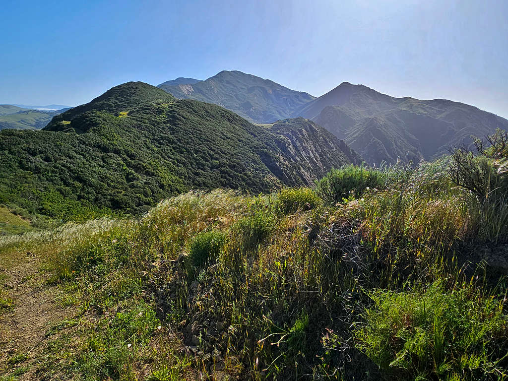
Looking back at Gaviota Peak and Point 1714 ft.
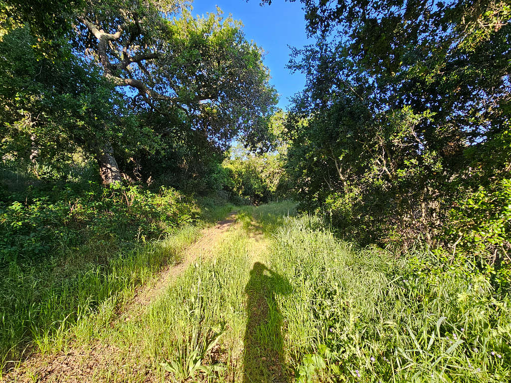
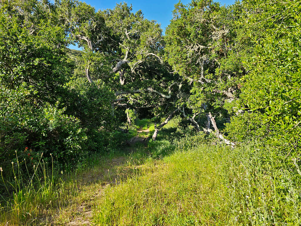
Continued past the junction with Wind Cave Trail (where I had come from) going toward Peak 1035 ft. Beautiful forest.
Once I reached the base of the summit, I turned left (south) going up a beaten path toward the top of Peak 1035 ft. Reached the summit at 9:00 AM and 3.59 miles. An impenetrable growth of bushes blocked movement and most of the view. That was disappointing. I whacked my way to the top of a boulder where I got some views.
Train Bridge, Point 649 ft and Route 101 seen. Point 700 ft where the Wind Caves were also visible.
Looking southwest.
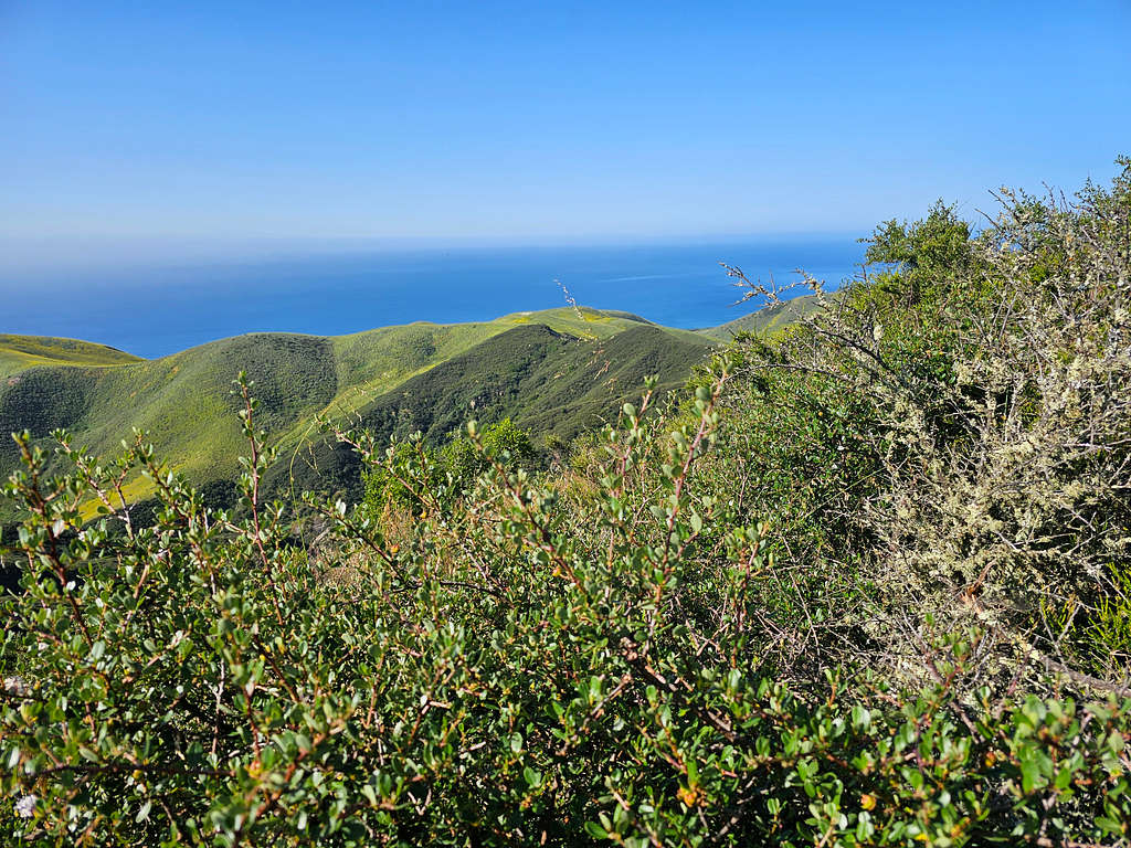
Looking southeast.
There was no place to sit there so I went back to the Fire Lookout Road and sat there to eat and rest. More views of Gaviota Peak and Point 1714 ft.
Reached the Wind Caves Trail at 9:35 AM, 4.07 miles and 770 ft elevation. Turned south onto Wind Caves Trail going back the way I had come. The trail was very overgrown. I really did not want to step on a snake. With each step, I kept checking the trail ahead with my hiking poles.
Went up to the 860 ft saddle and then down on the south side. Looking back at the summit of Peak 1035 ft.
Bypassed the Wind Caves.
The ever-present Gaviota Peak and Point 1714 ft.
Among the yellow flowers again.
On the paved trail. Looking back at Peak 1035 ft on the left and Point 827 ft (Fire Road Overlook) on the right.
Reached my car at 10:47 AM and 5.84 miles.
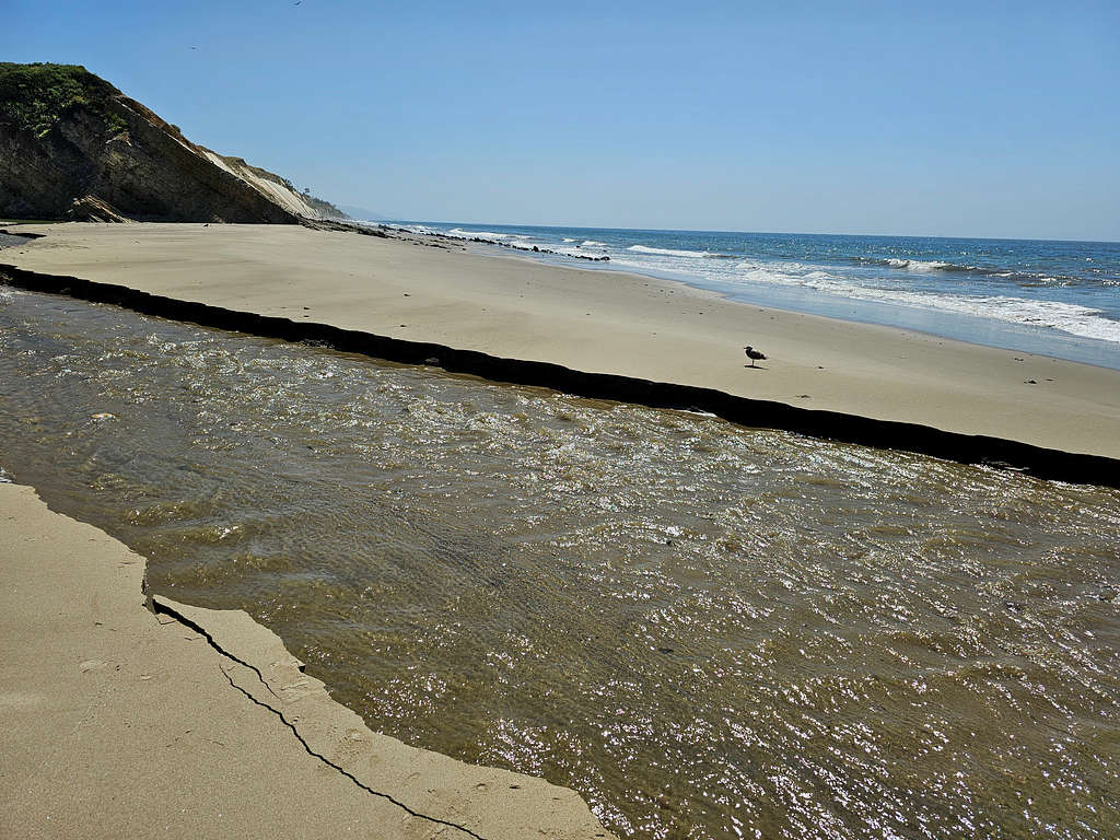
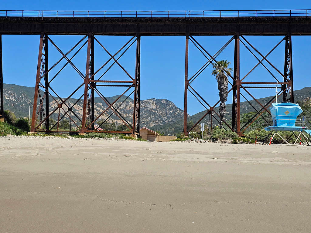
Gaviota Beach
There was no easy way to walk from the parking area to Gaviota Beach. I drove a short distance and paid to enter Gaviota State Park and walked under the train bridge to reach the small sandy beach. A river reached the ocean and since I still had my hiking boots on, I did not want to get wet, therefore I did not cross the river.
Looking back at the train bridge, Peak 1035 ft and Point 827 ft (Fire Road Overlook).
Walking west, cliffs dropped into the ocean creating a few caves.
Red Tape
No fees for parking at the Wind Caves Trailhead. You have to pay to enter Gaviota State Park to reach the beach.
When to Climb
Summer can get hot and winter rainy. Spring and fall are better.