Toggle navigation
Mountains
Routes
Images
Trip Reports
Forum
What's New
People
Areas & Ranges
Articles
Trailheads
Canyons
Huts & Campgrounds
Albums
Logistical Centers
Fact Sheets
Lists
Custom Objects
Gear
Plans & Partners
WELCOME TO SUMMITPOST
SIGN IN
REGISTER
Wind River Peak
Additional Parents
Image
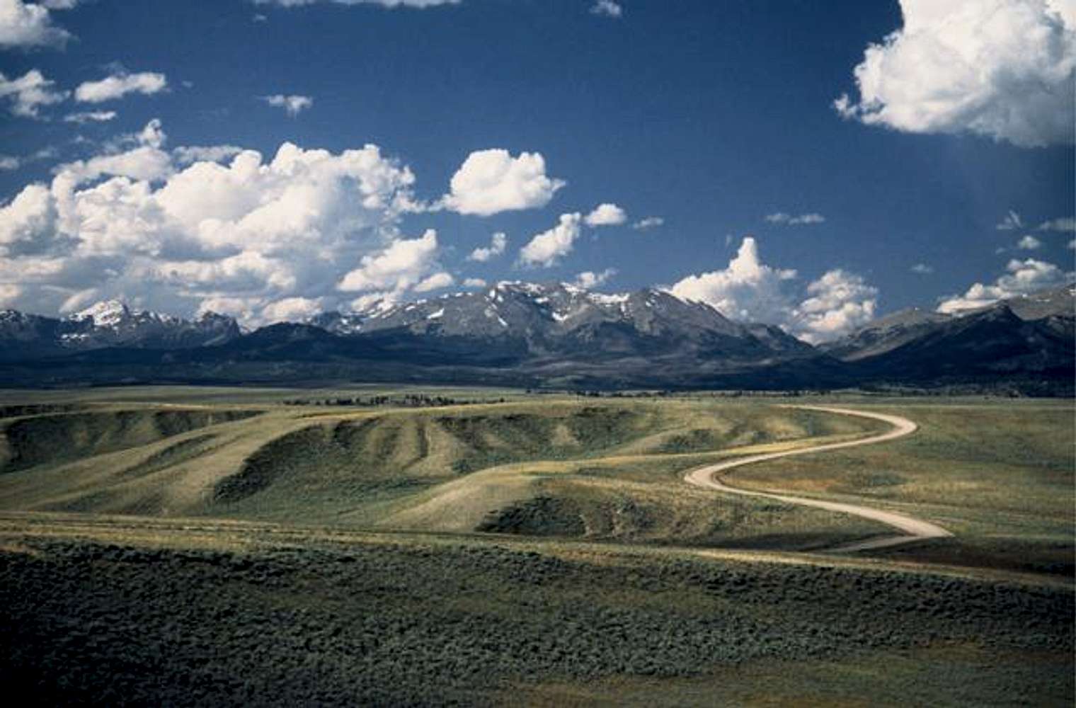
"Road to the Winds". Southern...
View High-Resolution Image
"Road to the Winds". Southern...
"Road to the Winds". Southern access for Big Sandy and Sweetwater Trails off Hwy 28. Temple Pk. far left . Mt. Nystrom in center and Wind River Peak seen further back to left side of Mt. Nystrom. August l993.
« PREV
NEXT »
slowbutsteady
on
May 18, 2005 2:46 pm
Comments & voting
Other parents
Lat/Lon:
42.70800°N / 109.128°W
Image ID:
105738
7078 Hits
78.64
% Score
10
Votes
Log in to vote
Comments
No comments posted yet.
to post!
Don't have an account?
Wind River Peak
(Mountain/Rock)
« PREV
Viewing
#8 of 63
GALLERY
NEXT »
slowbutsteady's Image Gallery
« PREV
Viewing
#159 of 670
GALLERY
NEXT »
Wind River Range
(Area/Range)
Loading....
Big Sandy Opening
(Trailhead)
Loading....
×
You need to login in order to vote!
User Name
Password
Remember me
Forgot your password?
Log me out when I close my browser.
Keep me logged in all the time.
sign in as a user
Don't have an account?
Register now for FREE
Rating available
Suggested routes for you
People who climb the same things as you
Comments Available
Create Albums
Register Here


