13300, Beattie Peak, Fuller Peak, Vermilion Peak & Golden Horn

13300, Beattie Peak, Fuller Peak, Vermilion Peak & Golden Horn

Page Type Page Type: Trip Report
Location Lat/Lon: 37.79910°N / 107.8284°W
Date Date Climbed/Hiked: Jun 24, 2007
Activities Activities: Hiking, Mountaineering, Scrambling
Seasons Season: Summer

Stats

Peak Name
CO Rank
Elevation
County Highpoint
13300
402
13300
 
Beattie Peak
358
13342
 
Fuller Peak
Unranked
13761
 
Vermilion Peak
74
13894
San Juan
Golden Horn
116
13780
 

Distance:
~9.6 miles
Elevation Gain: ~4537'

13300

I camped at Bandera Mine Saturday night and started hiking up the road towards Hope Pass at 6 am. After reaching Hope Pass I continued up the steep and loose ridge to 13300.  I got to the summit at 8:27 am.

Beattie Peak

I continued along the ridge to Beattie Peak. I chopped some steps to avoid putting on crampons. I got to the summit at 9:16 am.
Beattie Peak from Fuller Peak

Fuller Peak

I continued along the ridge to Fuller Peak. I got to the summit at 10:01 am.
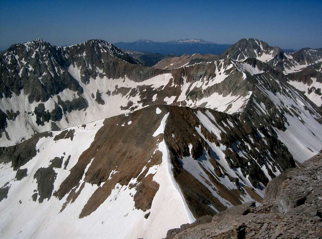
Vermilion Peak from Fuller Peak

Vermilion Peak

I continued along the ridge to Vermilion Peak. There was a decent amount of snow and ice on the route, but good steps. I got to the summit at 10:41 am.
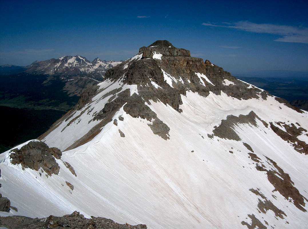
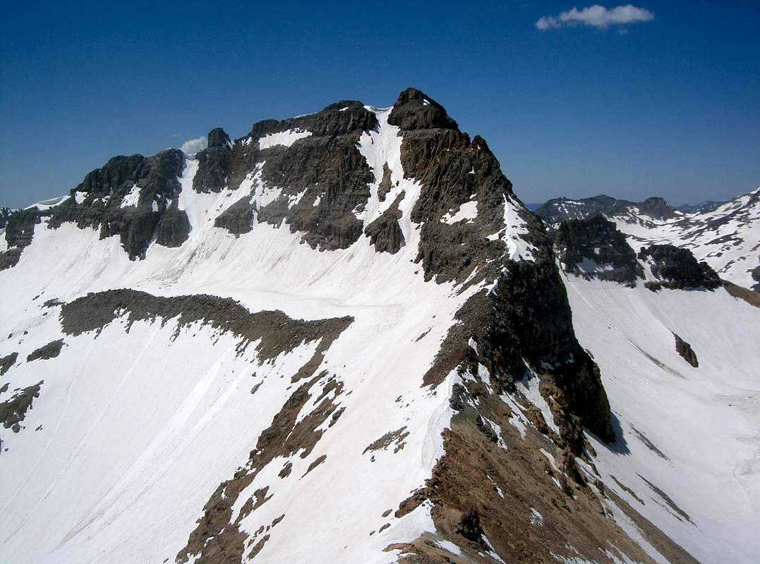
Vermilion Peak from Golden Horn
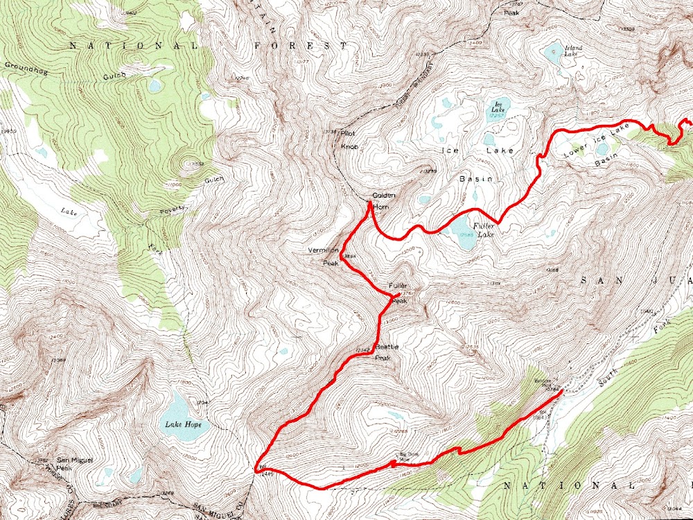
Golden Horn

I descended the terribly loose northeast ridge to the Vermilion-Golden Horn saddle and continued up towards Golden Horn. I descended a couloir on Golden Horn's south face and hiked out to the two wheel drive trailhead. I returned to my vehicle at 3 pm.Map


Comments

Post a Comment
Viewing: 1-2 of 2

bobkindles - Jun 17, 2012 9:26 pm - Hasn't voted

Hiking the ridge

How'd you like that traverse from the saddle looking into Hope Lake to Beattie?

Brian Kalet

Brian Kalet - Jun 18, 2012 12:34 pm - Hasn't voted

Re: Hiking the ridge

I remember the ascent to "V 8" was very steep with large, loose boulders. The ridge from "V 8" to Beattie was more pleasant.

Viewing: 1-2 of 2