The Climb
JJ, Bryan and I met at the Fred Meyer on Thor at 5:30am. From there we drove to the road to the trailhead in Mullan, we ran into snow at around 3760 ft on the road. We left the car at about 7:30am and hiked about .5 miles on the road up to the trailhead. We followed the trail to the lakes until just below the final headwall to the lakes at around 5200 ft. From there we crossed the creek, which was covered by significant snow and then traversed up the ridge on snowshoes until we gained the ridge just below 6400 ft. Snowshoeing through the soft snow was the most challenging part of the climb for me. I would recommend getting an earlier start especially if you are attempting this peak late in the spring.
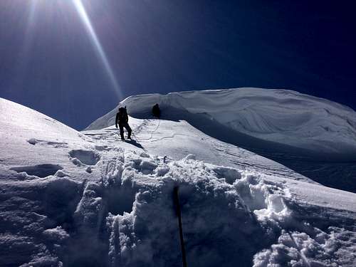
The ridge to the summit was very straightforward, we chose to rope up because the cornice looked large enough that we wanted to belay that section and it was easier to rope up before the ridge.
The cornice turned out to be about 6 ft tall. Bryan built a picket anchor below the cornice and then I belayed him as he led up the cornice, JJ and I followed.
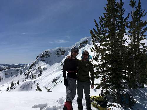
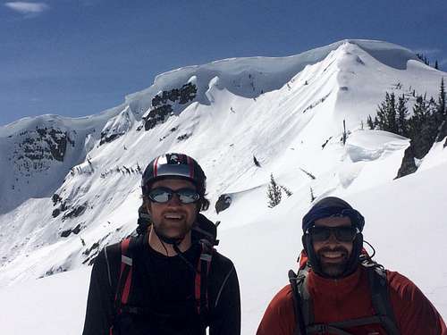
The summit is flat and offers great views of the surrounding area.
On the descent we traveled slightly farther along the ridge until about 6200 ft where we descended back to our original creek crossing. On the descent a few small wet loose slides released. The descent to the car was uneventful besides a few moments of foot entrapment while plunge stepping.
Our total time from car to car was 8 hrs 35 minutes. We traveled 6.6 miles and gained 3,024 ft.
PS Winter of 2016/17 was a very large snow year in this area so conditions may have been outside of the norm.
Gear
Snowshoes
Boots
Crampons
Ice Axe
Helmet
30m glacier rope
Pickets
Glacier Glasses
Sunscreen (I should have put some on)
Comments
No comments posted yet.