|
|
Mountain/Rock |
|---|---|
|
|
38.56720°N / 78.3817°W |
|
|
Page |
|
|
3680 ft / 1122 m |
|
|
Overview
As of August 2017, the trail has been rehabbed, and abandoned by the Park Service. Reaching the rock will require bushwhacking from the AT or Skyline Drive. This is only recommended in winter when there isn't poison ivy around, and the terrain is clearer.
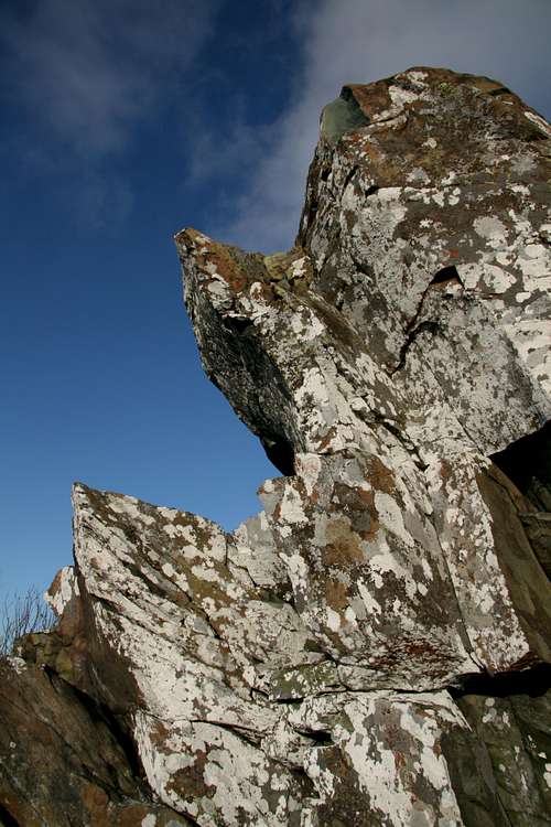
Bettys Rock lies in the rockiest part of Shenandoah National Park, where you will find a plethora of rock cliffs and boulder fields.
It is generally overshadowed by its large neighbors Hawksbill Mountain which is the highest mountain in the park, and Stony Man, which is the 2nd highest in the park.
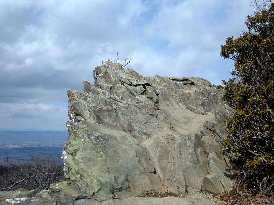
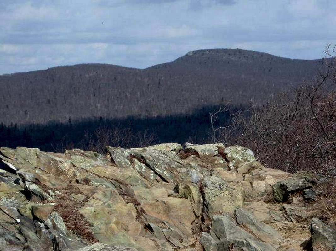
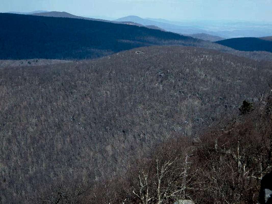
Just below the summit of Bettys Rock is a rock outcropping that provides an excellent 180 degree viewpoint of the surrounding Shenandoah mountains including Hawksbill Mountain and Stony Man. The hike to the top can be moderate or short depending on where you begin. What is certain, is that the view from the summit will be well worth the trip, and this is one of the nicest side hikes in the entire park.
There are also opportunities for rock scrambling around the rocks below the summit, if one is to be so daring!
Getting There
From DC follow I-66 West and exit onto US 29 at Gainesville. Follow to Warrenton, and take 211 West. Take 211 to Sperryville until you reach Skyline Drive. Take Skyline Drive south to milepost 43.3 to the Timber Hollow Overlook (3360'). You may start the longer route here, or for a short route, drive about another mile to milepost 44.4, and park at the Crescent Rock Overlook (3550').Routes
Timber Hollow Overlook (3360')
MP 43.3
Park here and go down the hill towards the AT. Take the AT South for about 1 mile. It goes up and down, so you gain and lose elevation along the way.
At the end of the first mile, you will find yourself under Skyline Drive near the Crescent Rock Overlook. Take a left towards the overlook, and follow the blue marks up the hill. At the top of the hill Betty's Rock is 0.3 miles away. A trail marker used to be there but has since been removed. The trail that was there headed directly to the rock outcropping. To nab the actual summit, you will need to walk about 30 yards into the woods.
You can take the same way back to the trailhead (2.5 miles total), or just walk to the overlook and take Skyline Drive 1.1 miles back to the Timber Hollow overlook. That way would add about 300 more yards to the overall trip.
Round Trip Hiking Distance: 2.5 miles
Elevation gain: about 600 feet to the summit
Crescent Rock Overlook (3550')
MP 44.4
This was the easy way to the summit. Park here, and walk about 0.3 miles to the summit.
Round Trip Hiking Distance: 0.6 miles
Elevation gain: 130 feet
When To Climb

Climb all year. The park, or sections of the park, may be closed if road conditions are poor. Check with the park at 540-999-3500.
Red Tape
Shenandoah National Park cost $30 for an annual pass. If you do not live in the DC area, you can pay the $15 fee to enter Skyline Drive ($10 from December-February).Summit Views

Stony Man (4011') to the North

Hawksbill Mountain (4051') and Naked Top (3720') to the South
Camping
In general, campsites are not always open during the winter and spring. Backcountry Camping Permits are required and are available free from park headquarters, visitor centers, and entrance stations. Appalachian Trail hikers may self-register for permits on the AT near Rockfish Gap (south) and Chester Gap (north).Campfires are not permitted (except at pre-constructed fireplaces at backcountry huts and day-use shelters). Groups may not exceed 10 people. For more info consult the park website.
Mountain Conditions
Check with the park at 540-999-3500.
Bettys Rock in the foreground on a windy day, with a little bit of ice on the trail
External Links
- Weather
Weather for the nearby town of Sperryville
- Shenandoah National Park
Shenandoah National Park Home Page


