Big Snow Mountain 9-14-2013
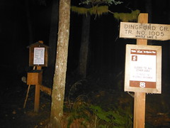
The drive from renton was a little rainy, but it let up the I crossed up the Middle Fork Snoqualmie road, which was riddled with potholes as usual. The dingford creek trailhead was about halfway full when I arrived at 3 a.m.
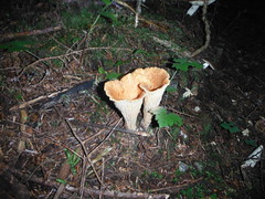
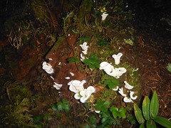
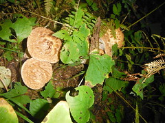
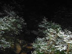
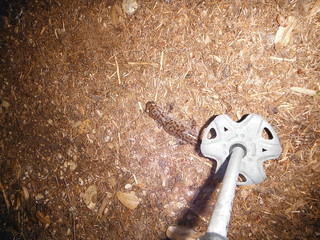
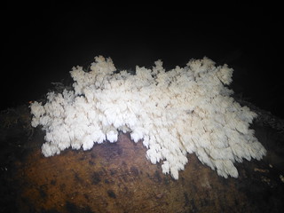
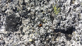
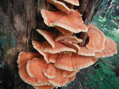
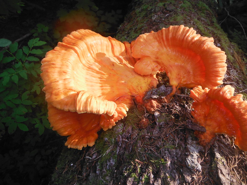
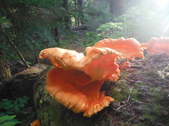
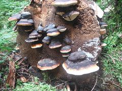
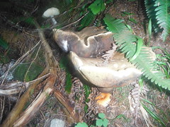
The five and a half miles to Myrtle Lake was a bit of a slog, taking me nearly 2 1/2 hours. The surprisingly high temp of over 60 before sunrise made the 2500' gain a sweaty venture. There is an amazing variety of fungi and shelf along the Dingford Creek Trail. I also encountered several large salamanders sitting in the middle of the trail, all of them seemingly indifferent to my presence.

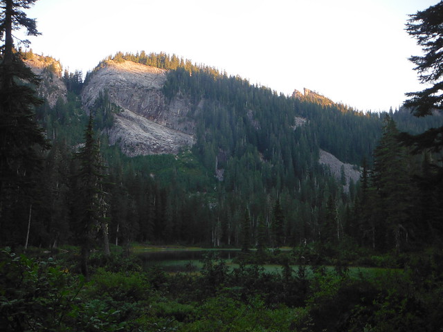
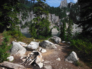
Colin and Cooper were up at 5:30 when I radioed from just below the lake. I watched the sunshine rise on the lake while we did a final gear check and discussed our route. We were not sure at the time, but Big Snow summit was visible from Colin's camp on the south end of Myrtle Lake. At the 4-way junction leading to camp there was a trail leading toward our destination which ended abruptly after less than 50 feet.
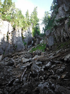
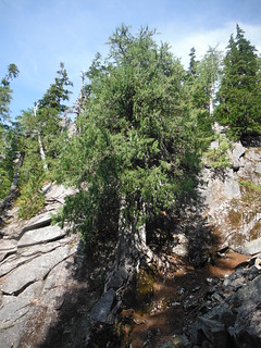
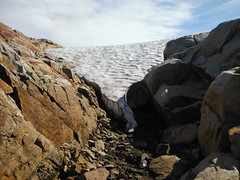
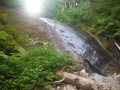
Colin had read Fred Beckey's guide and knew we were looking for a scree field leading to the outlet of Big Snow Lake. Before we found it we happened upon a narrow drainage gully that was headed uphill to the east and decided to take the opportunity to avoid the harsh bushwack for a bit, hoping to traverse toward our proper route later on. The gully continued to narrow as we climbed and provided some fun scrambling until we hit a dry falls where it became impractical to continue with Cooper.
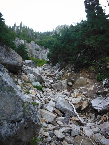
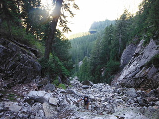
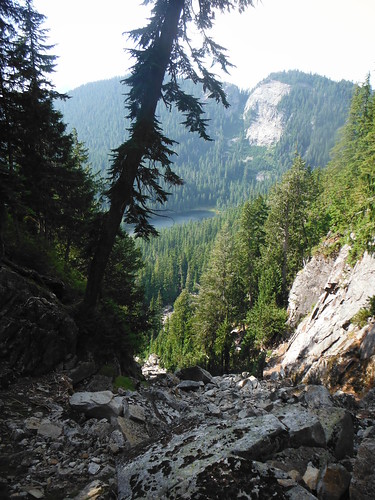
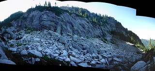
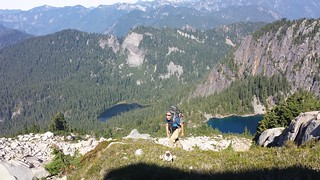
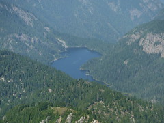
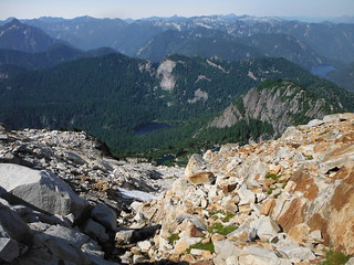
Some more bushwhacking let us to the the wide talus/scree field described by Beckey. This also narrowed into a gully, although wider and with a small opening at the top. We ascended quickly and it seemed to top out a little too soon to be the Big Snow Lake outlet, but we were pleasantly surprised to find that it was. At around 10 a.m. it was already getting hot out even as high up as we were, so the cool breeze coming off of the lake was more than welcome. We could see where the first gully we attempted to ascend would have taken us near the top of a steep crescent-shaped ridge wrapping around the lake and up towards the summit, which would have posed several route-finding issues.
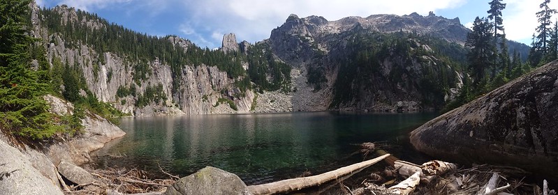
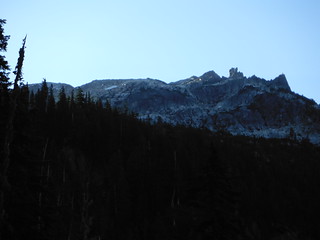
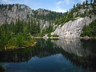
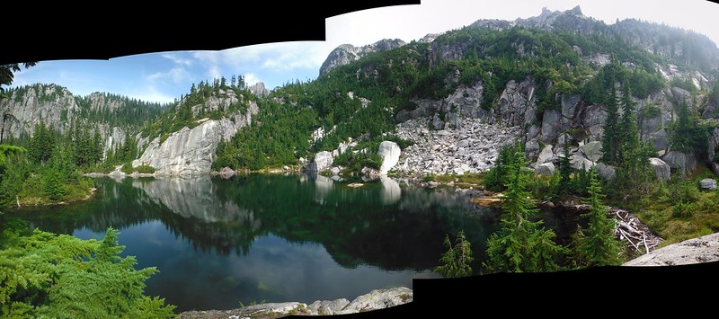
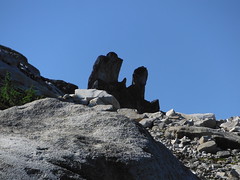
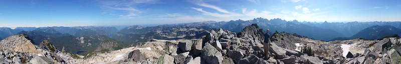
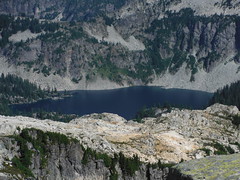
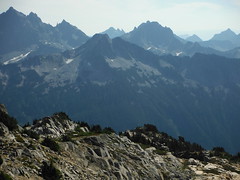
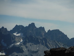
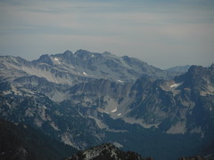
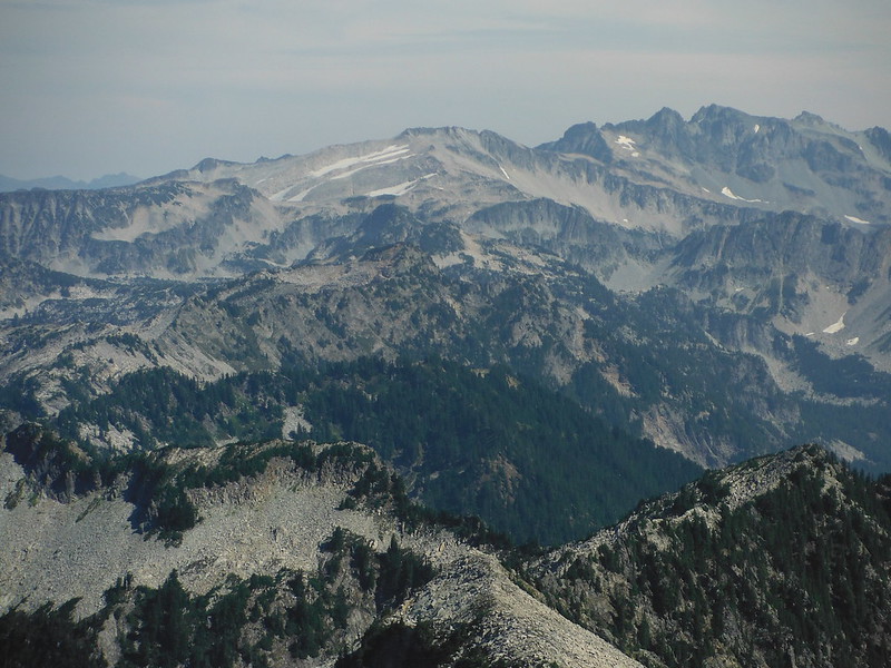
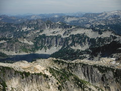
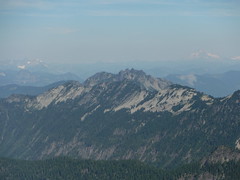
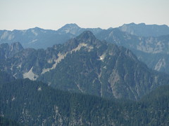
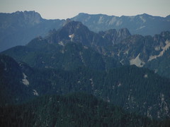
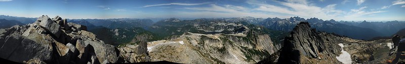
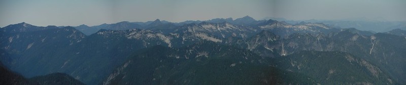
We stayed to the west of Big Snow Lake and then smaller Snowflake Lake where we found a well established campsite. Both lakes are pristine and half surrounded by massive granite walls that make for big echoes. A few 4-5 inch trout were cruising the shallows in the larger lake but we didn't see any in Snowflake. The mellow angle of the upper slopes obscured the summit but i could see the large double pinnacle we had seen just north of it while we looked up from Myrtle Lake.
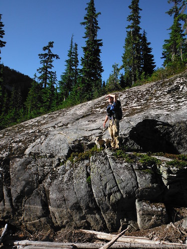
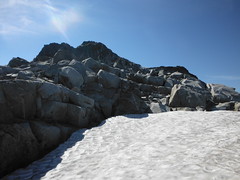
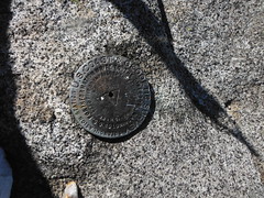
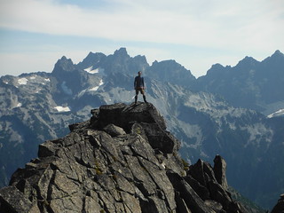
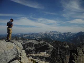
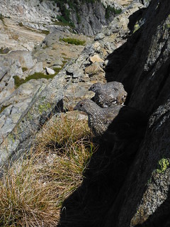
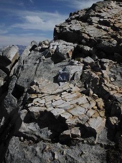
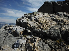
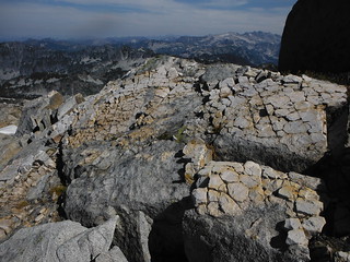
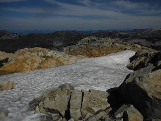
On the SE side of Snowflake Lake is a gully leading climbers left to the top of the lakeside cliffs. For the next 1000' we climbed through talus with the occasional strips and patches of grass and moss. Once we had gotten around a large knob around 5500' the final wide gully between us and the top came into view. A short scramble later we were standing on a small glacier looking at the crumbling pile of boulders that is the summit. There are 3 USGS markers in the rock but no elevation. We had no luck finding a summit register, only small scraps of weathered paper and some wood scraps and nails.
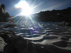
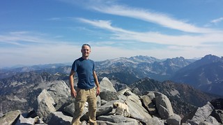
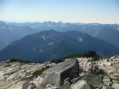
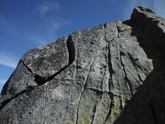
Before heading down Colin and I each made an irresistible class 3 scramble up the small sub peak to the south. I had always imagined that when I finally made it up Big Snow, the descent would include some glissading, but this is likely as dry as the mountain has been in several years. The lack of snow probably lightened our loads a bit for the trip and it may have added time to our ascent between the added bushwhacking and route-finding issues. This will have been our third trip this summer where the ice axes never left our packs.

On the return we continued farther down the scree field below Big Snow Lake in search of a bootpath back to the trail, but had no luck. A pair of campers down the way from Colin's site were the only other people a saw beyond the trailhead, although there were a few dozen relocated saplings on the trail after the Hester Lake junction that I'm certain were not there in the morning. Sure enough, the last few members of a work party were loading up their trucks back at the trailhead.

17 miles round trip
5500' elevation gain
14:30 car to car
My Blog
Comments
No comments posted yet.
