
Trip Report: Blanca Peak and Ellingwood Point |
General Information and Statistics:
| Date Climbed: | 12 July 2004 | | Summit: | Yes* | | Climbers: | (5):
Austin W.
Pam R.
Zollie M.
Bonnie B.
Ron N.
| | Time (Car to Car): | 3 Days | | Most Difficult Section: | Class 3 | | Trip High Temp. | 85 F (29.4 C) | | Trip Low Temp. | 34 F (1.1 C) | | | WAYPOINT | GPS COORDINATES | ELEVATION | | 1 Basecamp | 37 34.120' N
105 30.760' W | 10,398 ft. | | 2 Lake Como | 37 34.132' N
105 32.062' W | 11,800 ft. | | 3 Begin SW Ridge (Ellingwood) | 37 34.700' N
105 29.510' W | 12,600 ft. | | 4 Switchback 1, Blanca summit trail | 37 34.132' N
105 32.062' W | 12.900 ft. | | 5 Upper trail split Blanca/Ellingwood | 37 34.820' N
105 29.440' W | 13,350 ft. | | 6 Blanca Peak | 37 34.670' N
105 29.130' W | 14,345 ft. | | 7 Ellingwood Point | 37 34.970' N
105 29.570' W | 14,042 ft. | | 8 Little Bear Peak | 37 35.030' N
105 26.700' W | 14,037 ft. | | 9 Mount Lindsey | 37 34.010' N
105 29.840' W | 14,042 ft. | |
Introduction/Travel:
I remember how it all began.... After my partners bailed on me for a planned trip to the Maroon Bells, I was on the verge of selling everything to buy a 4WD van and an extra rope to begin my life as a vagrant, travelling climber. It would have worked, too, if not for my life-long love of taking baths (weird, I know.) Still, I had to do something to keep from going crazy. Since I am affected by a terrible illness, A.L.A.S. -- Acute Low Altitude Sickness, the only way to keep me sane and alive was a trip to the mountains.
So, when Pam mentioned that she and some of her friends from Oklahoma (haha, even flatter than where I live!) were planning a trip to the Sangre de Cristos, I begged to join them.
Two weeks later... Pam, Bonnie and I loaded up our gear into Pam's Subaru Forester and after completing the preflight checklist, engaged the hyperdrive and pointed 'er WEST!
Somewhere between Fayetteville and Tucumcari, we encountered a wagon train coiled up like a rattlesnake. From the blurred frenzy of painted savages surrounding the grim pioneers came one stray arrow. Damnit, now we've got a flat.
After an hour in drydock, our vessel was ready to take on the journey once again. Stars and planets whizzed by as intergalactic bugs collided with the Subaru's frontal force fields. I daydreamed that the planets were telephone poles and the stars were brushy plants and cacti... Well, after about 10 Earth-hours, our advanced technology had allowed us to cross the expansive void known as "the Midwest." It's a long way to Tucumcari. When you get there, turn North.
I had been at the helm since leaving Fayettenam, so Bonnie offered to take over. Soon, we approached the border of CO and that's when my traveling companions helped to hide me under piles of clothing and fresh vegetables. The Colorado State Border Patrol stopped us at one of the southern checkpoints to check for ID's and Papers. I held my breath while he held my picture up to the glass, checking against the passengers of the Forester. He waived us through and a few miles down the road, I peeked out around some arugula to see if the coast was clear. (Maybe I should just pay that ticket in Colorado Springs...)
We stopped outside Alamosa at a Safeway to procure provisions along with some beads and copenhagen to trade with the locals. The trailhead was about 30 minutes away.
DAY 1: the Approach
We reset the mileage on the Forester when we turned off of Colorado 160 onto Colorado 150. The Roach Guidebook lists 3.2 miles to the turnoff. We saw the road and blew past it. Pam, a professional Subaru driver, pulled a "U-wie" and got us back on course. The road is pretty obvious, but we were pretty sleep deprived and affected by the low-gravity environment of the Forester. The road makes a beeline for the massif. We took the road for a couple of miles and started to see cars parked to either side. Now, a Forester has about the clearance of a mongoose in high heels, but we were able to make it quite a bit further than we expected. Zollie and Ron arrived soon after, and after a short Pow-Wow we decided to load up all of the gear in his Jeep Wrangler and meet him as far as he could get up the trail. I recommend this option, as the approach was long and hot. There were also 4 wheelers going up and down the road, many carrying packs and gear.
Note: Now, I am as much a member of the "purist" school of climbing as anyone, however I must say that I can't really object to the use of 4WD vehicles to carry gear and passengers to Lake Como. After all, this is a Jeep-Trail, not a hiking trail.
I got into a fast pace and left Pam and Bonnie to their conversation. I didn't see the black Jeep pulled off to the side until I looked back from about 2 miles ahead and 1000ft higher... DOH!
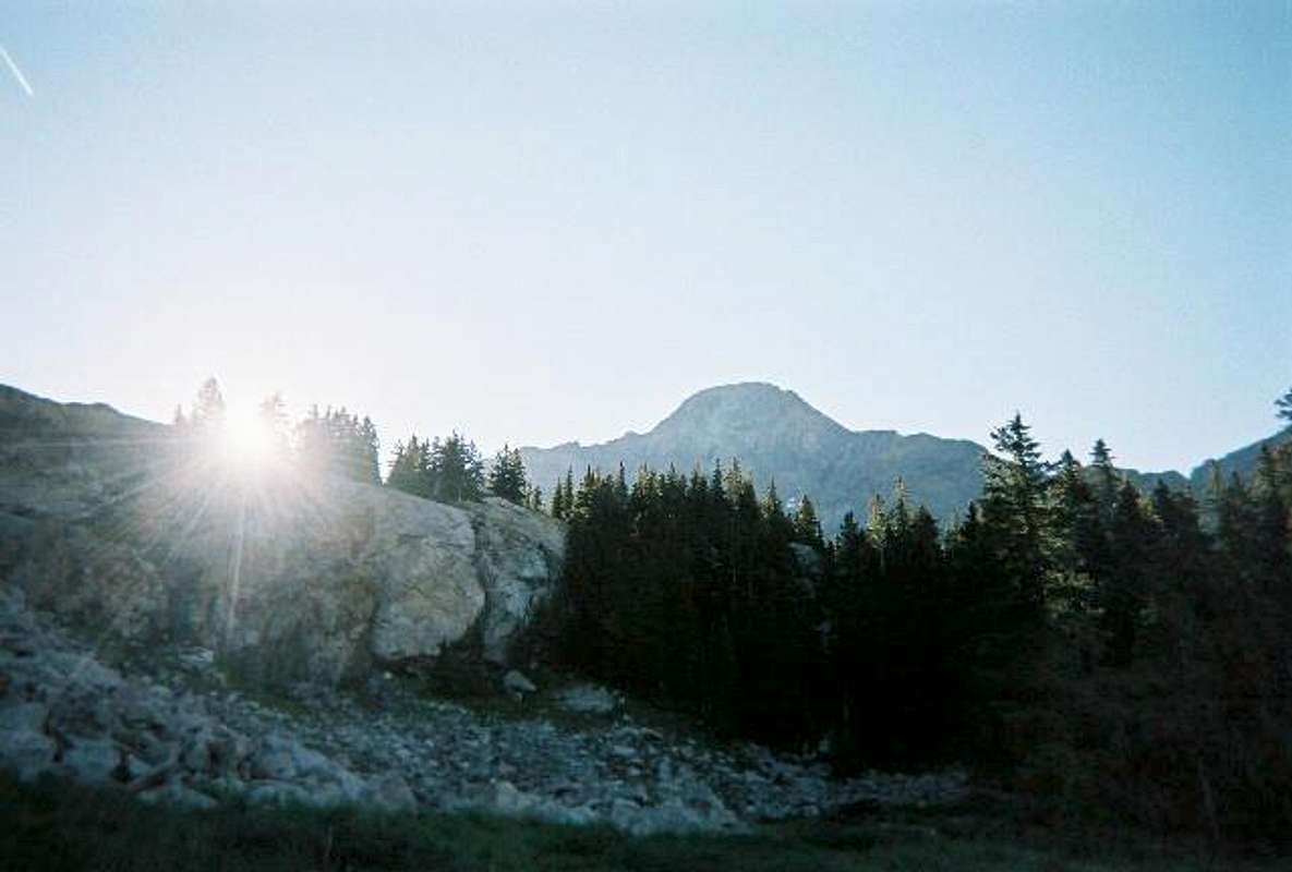
 | So, I ran down the scree slopes choked with underbrush, razor sharp flora and laughing reptiles. Reunited at last, we began our slow, hot hike up to basecamp. Take plenty of water for the approach, as it is very dry and hot, and there is not much water on the trail if you run out. We didn't get started on the trail until about 11:45 and we arrived at our campsite at about 1730 Hrs. Time, trailhead to camp: approximately 6 hours. This is hiking at a leisurely place, including stopping for snacks and rest. |
DAY 2: the Summits
After waking up semi-early (0630 Hrs) We were treated to great views and cool temperatures, perfect for hiking. We still had a few miles to go to reach the lake, as we opted to camp below it to avoid the crowds and the Mosquitos. After some steep hiking and picture taking, we reached the lake in about 1.5 hours. The mosquitos were horrible there, hovering in clouds over the water. There were some horse campers and 4WD campers at the lake, along with a church group and about 20 college kids from Iowa. (We had seen them pass by our camp the day before, loaded down with 5000 cubic inch packs for their trip to Lake Como) I silently applauded the groups decision to camp lower.
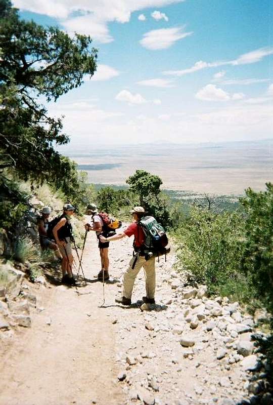
After reaching Lake Como, the trail was refreshingly flat with only a few hills to conquer. In about an hour, we reached the alpine meadow, which is home to several lakes and waterfalls, which are not listed on the topos. This is where the two wheel tracks finally ended and the trail proper began. We crossed several small streams, no more than a stride length across and came to where the trail turns north and the cairned route begins (A cairn is a pile of rocks stacked by climbers and guides to mark a route in rocky areas). We headed up and around a large waterfall, running full with snowmelt. At the top are the Blue Lakes. There were a few small groups bivied here, along with some fishermen who hiked up for the day. | 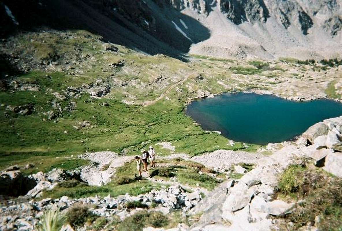 The cairned route begins on the talus slopes directly below the climbers.
 |
 Shortly after passing the path to gain the Southwest ridge route to Ellingwood point, (waypoint 3, above) we reached Crater Lake. Just past the lake are some mining prospects. There are two ruined building sites and some mining equipment and structures strewn around. This is where the trail turns steep and the first switchback begins (waypoint 4, above). There are several routes leading up the East face of Blanca peak, all lead to the same place. Follow a cairned route to 13,350 ft. This is where the trail splits to gain the lower traverse to Ellingwood point. (waypoint 5, above). Stay on the cairned route until you gain the saddle between Blanca and Ellingwood. We opted to follow the ridgeline the rest of the way to the top. There is an "easier" way, that follows just below the ridgeline until just under the summit. The views from the ridgeline are fantastic, and the climbing is easy 3rd class with one or two 4th class moves. The exposure is awesome but the danger is limited. (Plenty of room) The entire group reached the summit at approx. 1130 Hrs. This was the first 14er for both Bonnie and Ron, so they had good reason to celebrate! Photographer Dan Bayer from Aspen had joined us in the switchbacks and was on the summit as well.
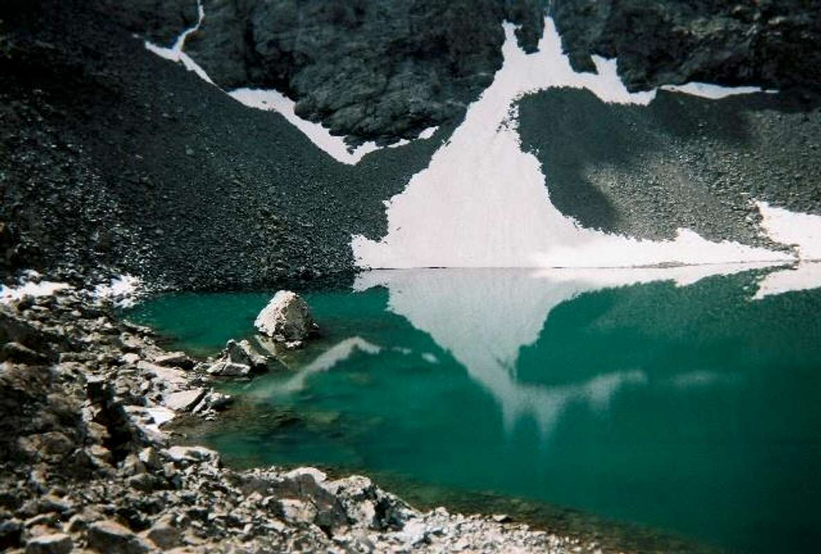
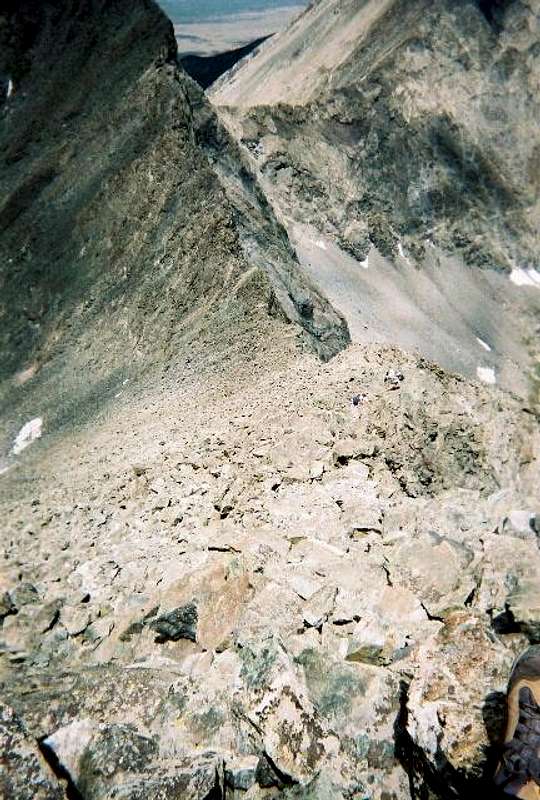 Looking down the NW ridge, Blanca.
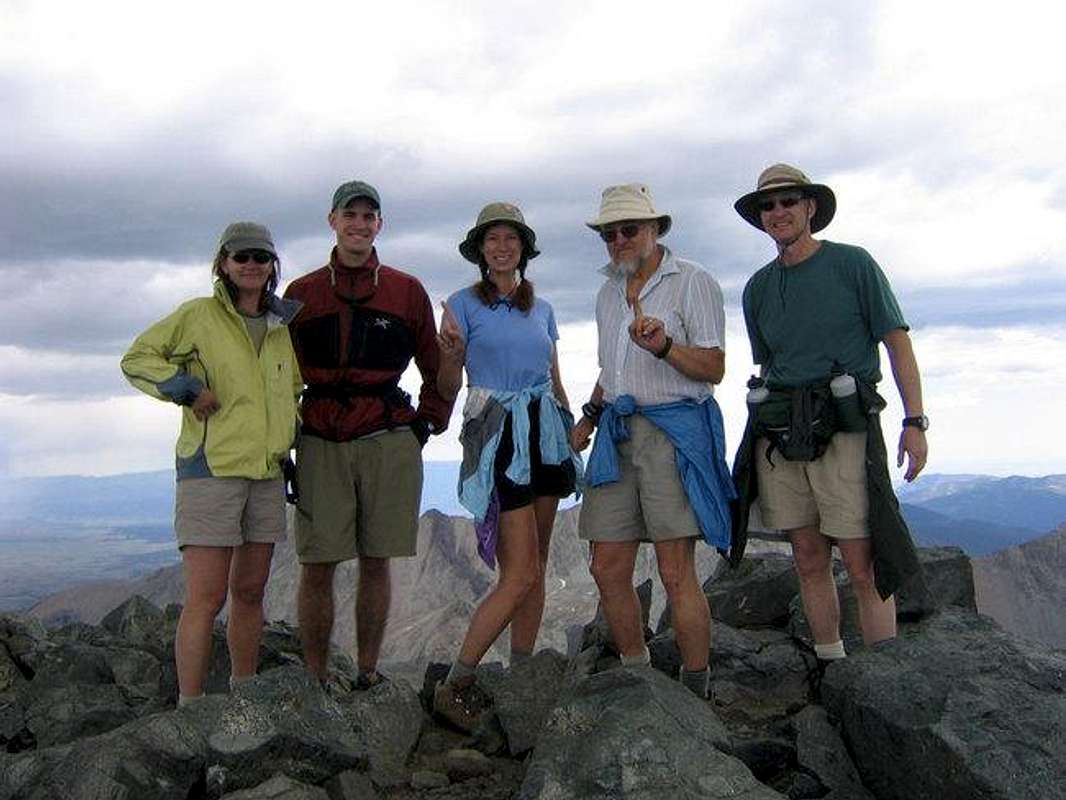 Summit group, Bonnie and Ron's First - Congratulations!
The weather was beginning to look questionable, and the group decided to return to basecamp. (Ron was fairly tired and Pam and Zollie were worried about the weather.) Dan and I were more experienced climbers and decided to try the traverse to Ellingwood Point. We watched as two groups climbed two different routes to the Point. We opted to take the upper route, just below the ridge instead of facing the talus and scree slopes down lower.
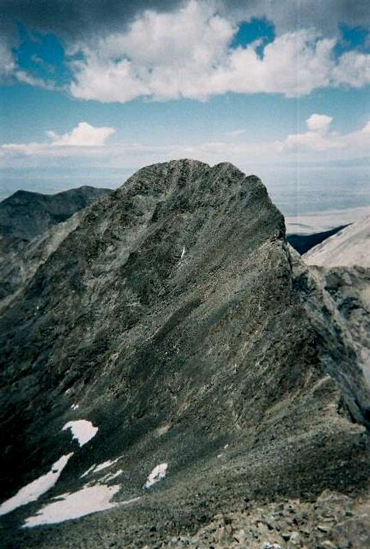
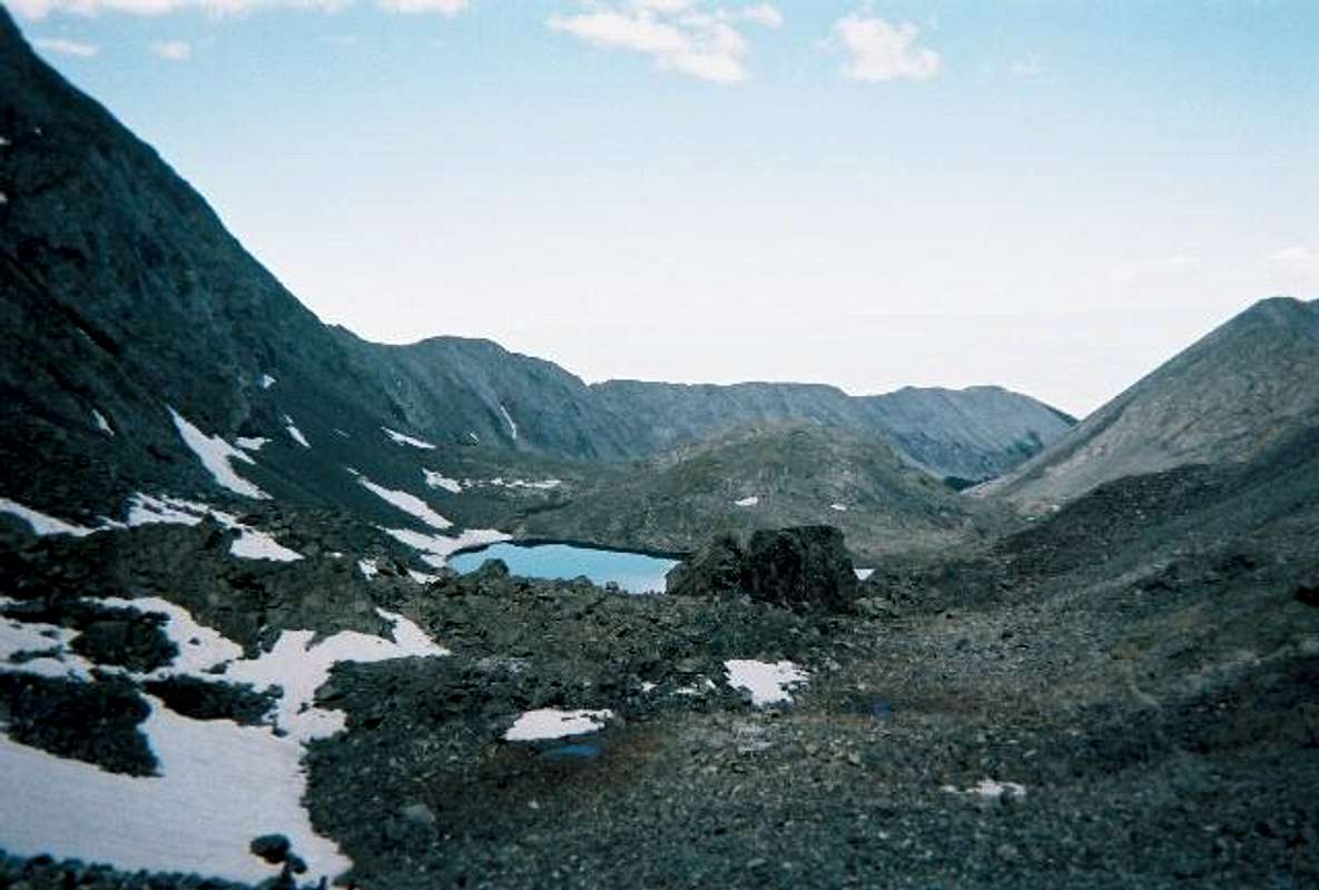
Ellingwood point viewed from NW Ridge, Blanca.
 I highly recommend this option! The upper traverse is a beautiful climb on solid rock and it is easy 3rd and 4th class. The lower traverse exposes you to massive rockfall potential from above. We reached the summit in 30 minutes from the Blanca/Ellingwood saddle. We were moving fairly fast the entire time, so you might allow a little cushion when attempting this traverse. The weather broke just as we reached the summit and we had some beautiful sunshine and views. After a short rest on top and a Snickers bar, we headed back down, attempting to take the SW face of Ellingwood. This turned out to be a mistake and we decided to go back the way we came to avoid the loose slopes. We headed back across the traverse and met back up with the trail back down. I got back to basecamp at about 1800 Hrs.
DAY 3: Back Down
We had planned to attempt Little Bear on day 3, but no one was really feeling up to it. We opted to head back down and take a rest day.
Tune in next month (Sept.) for
Episode 2: RETURN TO LITTLE BEAR!

Comments
Post a Comment