Bryant Peak and Low Mountain 1-22-2014
View 2014-1-22 Bryant Peak and Low Mountain in a larger map
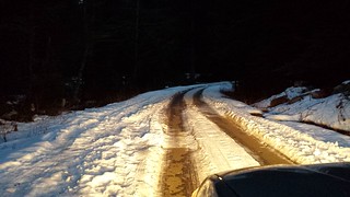
With a last minute day off of work, I thought I'd take advantage of a sunny forecast to visit Denny Creek without the usual crowds. The road was mostly clear, the few ruts fully melted out and passable by a medium clearance car until the turnoff to the trailhead, which was covered in a few inches of snow. There were no other cars when we started up the trail at 7:45.

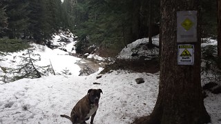
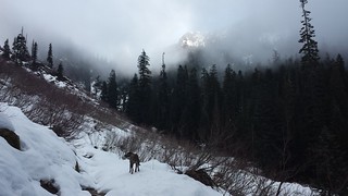
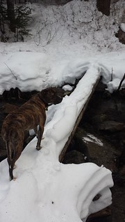
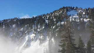
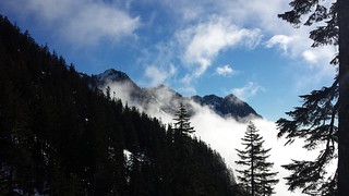
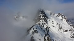
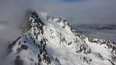
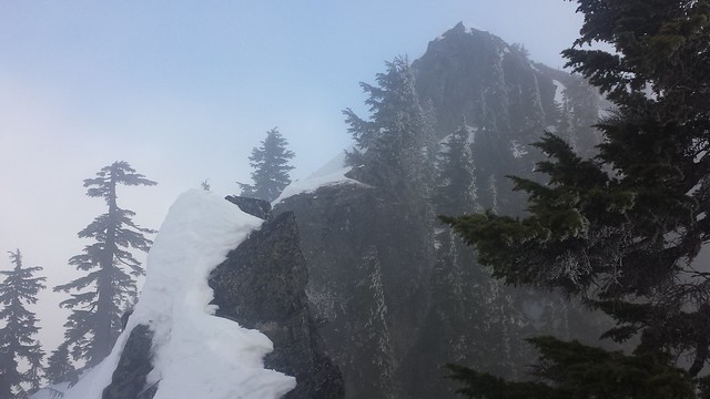
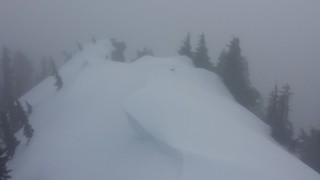
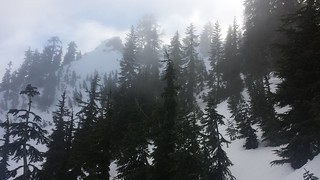
Two to three feet of snow was mostly packed down by boots along the trail until the the upper log crossing above both falls, where a few sets of crampons continued. Besides a few brief clearings we were in fog most of the day. I saw nearly every kind of snow condition throughout the day. Crampons were very helpful for the last few hundred feet of each peak. Made it out and back without encountering a soul.
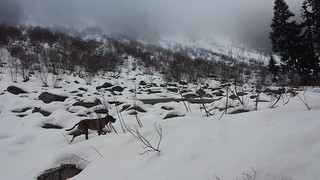
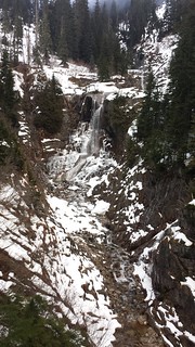
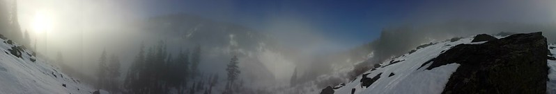
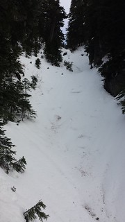
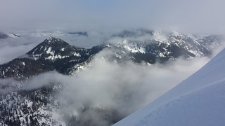
The fog seemed to be clearing a few times but it ended up climbing right along with me all day. Denny Mountain and the Tooth briefly appeared at the first clearing before Keekwulee Falls. I remember seeing a few more feet of snow there in mid-December 2012. I had trouble kicking steps into the solid crust while crossing the last talus field before Hemlock Pass but with a little extra effort, microspikes sufficed and Mavericks built-in crampons worked for him. The trail's outline was clear but we left it at the last switchback below the pass and ascended a short narrow gully and then followed the SW ridge to just below the summit.
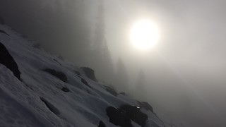
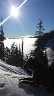
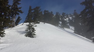
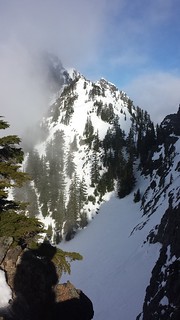
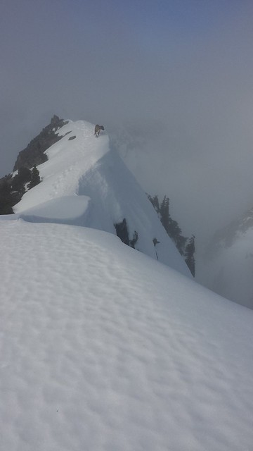
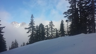
As we scrambled up 20 feet of bare rock North of the summit I noticed someones tracks heading up the ridge to Chair Peak. I had the pooch wait behind while a carefully picked my way across the lightly corniced ridgeline to gain the summit, and then quickly descended to continue on to Low Mountain. The clouds occasionally cleared to expose a few surrounding peaks but the sun failed to make it through until we returned to Hemlock Pass. I could see tracks and hear voices from skiers enjoying themselves in Source Lake Basin.
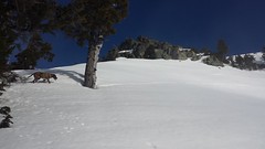
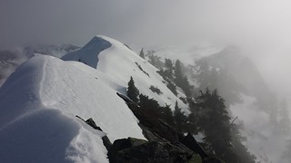
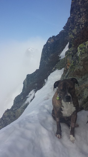
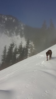
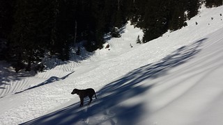
I turned back about 100 feet below the summit of Low Mountain about a year ago in sketchy snow conditions. The snow was firmer this time, but also lower, making for a bit more of a bushwhack through the shorter stuff. We stayed close to the apex of the NW ridge until the summit block came into view. After examining a potential route around the North side and up a very steep, loose rocky col I backtracked and traversed below the summit to the South just above the tree line. I was glad to have a pair of crampons on loan, as the traverse and the remaining 50 feet of steep snow to the summit would have been very tough without them. With nothing to see and Maverick waiting for me below I didn't stay long at the top.
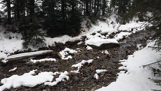
We left the NW ridge early and found the trail above where we had left it. Before crossing back to the West side of Denny Creek we encountered snowshoe tracks over our own which helped prevent some post-holing in the softening snow. We were under clouds the rest of the hike out. Although my snowshoes never left the pack, I am glad to have brought the traction trifecta - microspikes, snowshoes and crampons, as they each could easily have proven to be essential at some point along the way.
~9 miles round trip
5000' elevation gain
9 hours car-to-car
Comments
No comments posted yet.
