|
|
Mountain/Rock |
|---|---|
|
|
48.43660°N / 119.82398°W |
|
|
Okanogan |
|
|
Hiking |
|
|
Spring, Summer, Fall, Winter |
|
|
6135 ft / 1870 m |
|
|
Overview
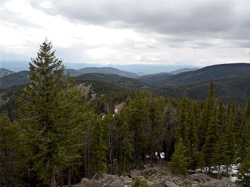
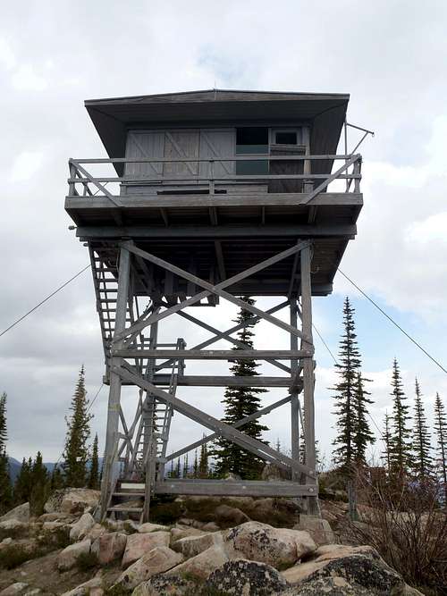
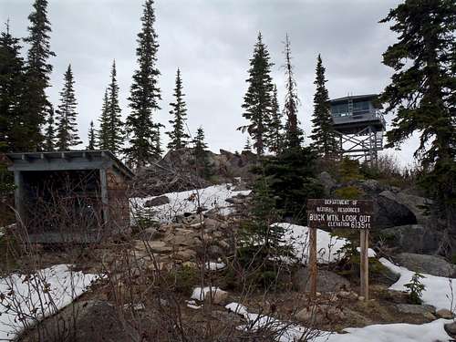
Buck Mountain is a mid-elevation peak located in Okanogan County, Washington. The peak is located near a major highway and offers great views of the surrounding areas. However, the mountain is most notable for having a fire lookout tower still standing on its summit area.The first fire lookout structure on the mountain was a crow's nest platform in a tree, constructed during 1919. A log cabin was built near the lookout tree, for lookout workers to stay in during periods of high fire danger. Eventually, the crow's nest lookout platform and log cabin were removed. The structures were replaced by a 20'-tall pole tower with L-4 cab during 1934. During 1961, the pole tower was replaced by a 20'-tall wooden tower with live-in cab. This tower still exists atop the mountain today, and is listed on the National Historic Lookout Register. The lookout tower is managed by the Washington Department of Resources (DNR), and is used periodically but mostly after major lightning storms.
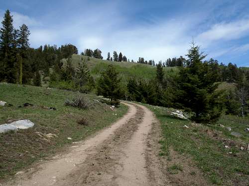
Access to the mountain is very straightforward. First, the major access road for the peak (Buck Mountain Road) is completely on State land and there are no private property issues. Second, Buck Mountain Road goes all the way to the summit, and is manageable by all high-clearance vehicles and possibly many passenger vehicles (depending on comfort levels of drivers). Third, the peak is located a short distance off a major highway (Highway 20), and with Buck Mountain Road only being 5.75 miles long (one way) it can be done year-round as either a drive-up, hike, or snowshoe trip (depending on conditions). There is a small dirt parking area near the summit.
The true natural summit is not the lookout tower. There are some large boulders which are noticably higher than the base of the lookout tower. The boulders are near the tower and the tallest boulder has remains of an old cylindrical concrete well near it.
Getting There
DRIVING DIRECTIONS FROM EAST:
1) Starting from Highway 97 at Okanogan (south side of city), turn west onto Highway 20.
2) After 0.5 miles, the road reaches a "T" intersection. To remain on westbound Highway 20 (heading towards Twisp and Winthrop), turn left at the intersection.
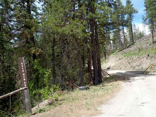
3) After approximately 15.9 miles, turn right (north) onto Buck Mountain Road (3481' elevation). There is a small sign on the leftside of the road entrance. Shortly thereafter, there is a cattle guard crossing with a "State Land" sign.
4) Follow Buck Mountain Road approximately 5.75 miles to the summit.
DRIVING DIRECTIONS FROM WEST:
1) Starting at the intersection of Highway 20 & Twisp-Carlton Road in the town of Twisp, head east along Highway 20.
2) After approximately 2.3 miles, turn left to remain on eastbound Highway 20. Heading straight/south goes onto Highway 153.
3) After approximately 12.7 miles from the Highway 20/Highway 153 intersection, turn left (north) onto Buck Mountain Road (3481' elevation). There is a small sign on the leftside of the road entrance. Shortly thereafter, there is a cattle guard crossing with a "State Land" sign.
4) Follow Buck Mountain Road approximately 5.75 miles to the summit.
Red Tape
No permits or parking passes currently required.However, because the road access is across State land and is managed by Washington DNR, it is possible that a "Discover Pass" might be needed sometime in the future. Contact a local ranger station for current rules and regulations.
When to Climb
As mentioned earlier, this peak has an access road (Buck Mountain Road) leading from Highway 20 to the summit. The mountain has some steep slopes but Buck Mountain Road never gets very steep. As a result, this peak can be summited year-round.
However, Buck Mountain Road commonly has snowpack and/or multiple downed trees on it from late Autumn through late Spring. Most people visit the peak from July through September.
Even if Buck Mountain Road were closed or inaccessible to vehicles, the road-walk (or snowshoeing) from Highway 20 would only be 5.7 miles (one way) with 2650'+ elevation gain.


