
|
|
Route |
|---|---|
|
|
33.29908°N / 116.11016°W |
|
|
Hiking |
|
|
Winter |
|
|
Less than two hours |
|
|
Hike |
|
|
Overview
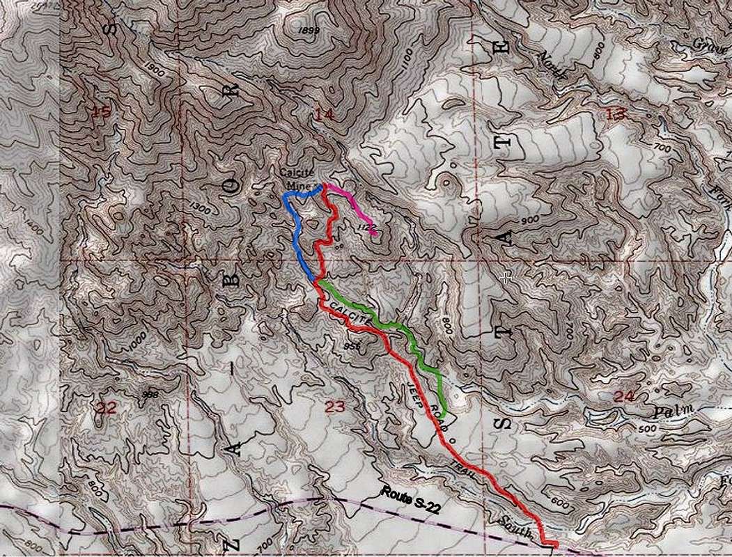
This hike takes you from Route S-22, 500 vertical feet up the slopes of Travelers Peak on a rough four wheel drive road to the site of an abandoned Calcite mine. You will not see any mine shafts or abandoned mining equipment but the views of Salton Sea and the surrounding desert will be superb. You can then follow a beaten path to the top of a 1122 ft high hill for even better views.
On its way to the mine, the road crosses a canyon. For variety, you could leave the road and hike up the slot canyon to reach the mine.
At the trailhead on Route S-22, you will see a sign explaining how in the early years of World War II, Calcite was used in weaponry. Once an appropriate synthetic material was found, the need for Calcite mining quickly went away.
Getting There
From Christmas Drive in Borrego Springs, drive 19 miles east on Route S-22 and look for the trailhead on the north side of the road 0.2 miles east of mile marker 38.
Route Description
Trailhead Elevation: 600 ft
Mine Elevation: 1120 ft
The hike to the mine is 2 miles long one way, you can go another 0.25 miles to the top of Point 1122 ft.
The description below takes you up the road to where it crosses the canyon, into the slot canyon, to the mine and Point 1122 ft then down the road back to trailhead.
At the trailhead, the road goes down around 70 vertical feet into the South Fork of Palm Wash and then comes back out to continue on a plain. You will have good views of Travelers Peak.
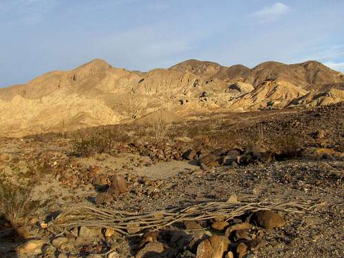 Travellers Peak
You will then see a canyon on the right side.
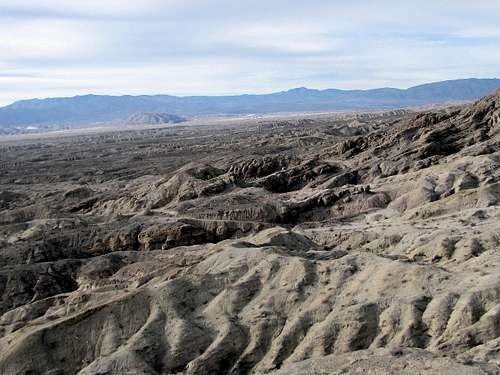
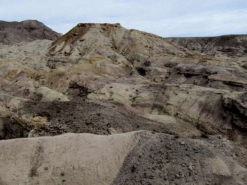
Badlands will also be in view.
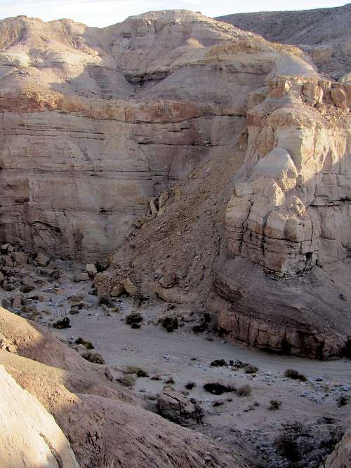
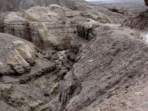
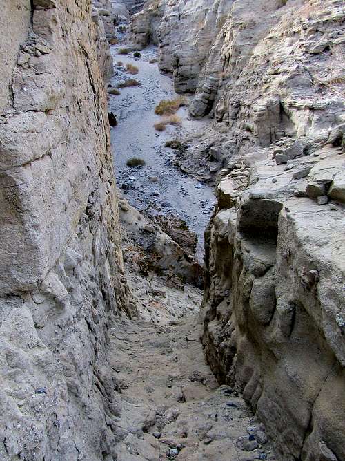
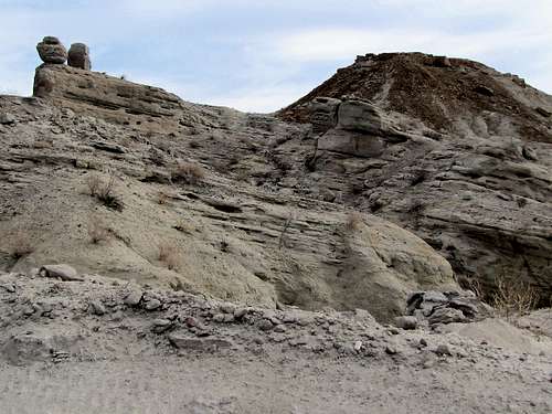
After 1.5 miles, the road drops into another canyon. You can continue on the road but for a little bit of adventure, you can leave the road and hike up the canyon.
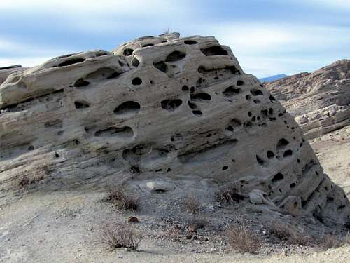
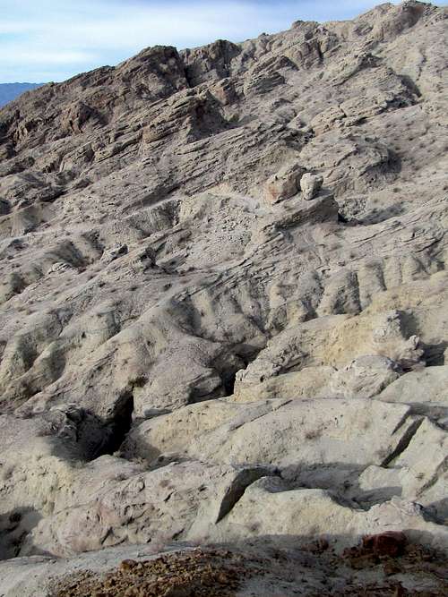
A slot canyon quickly forms.
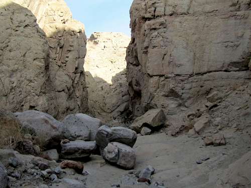
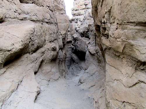
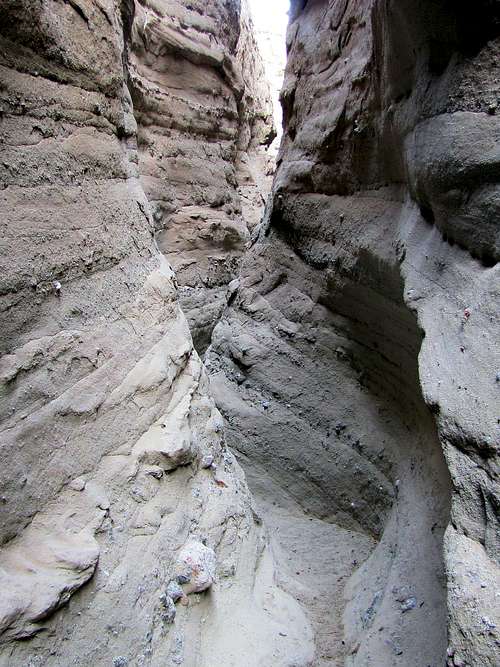
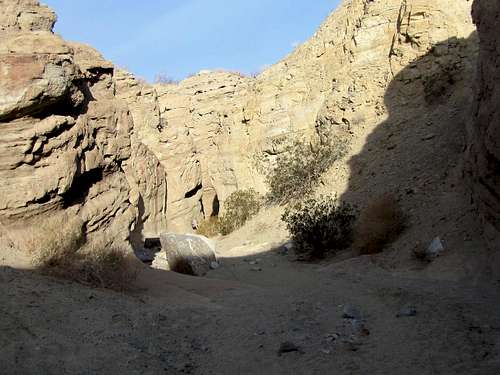
Hiking up the slot canyon is non-technical but you will come across a few obstacles 4-5 feet tall.
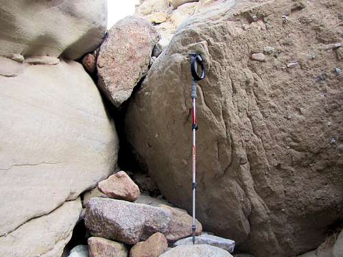
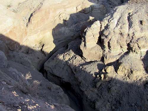
Pretty soon you will reach a couple of choke stones. Hikers cannot go beyond this spot.
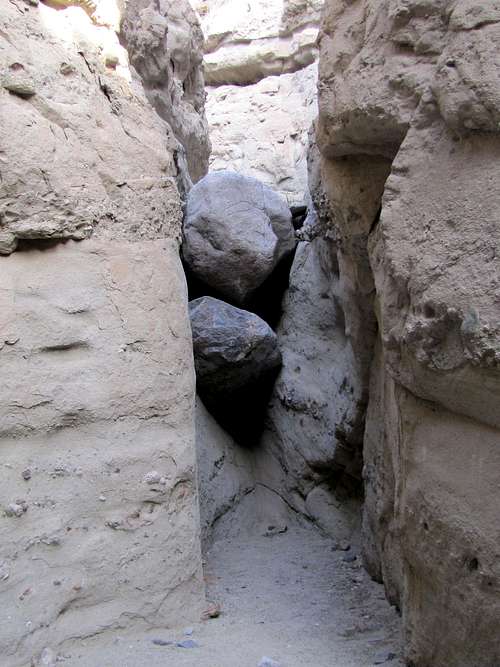 Choke stones
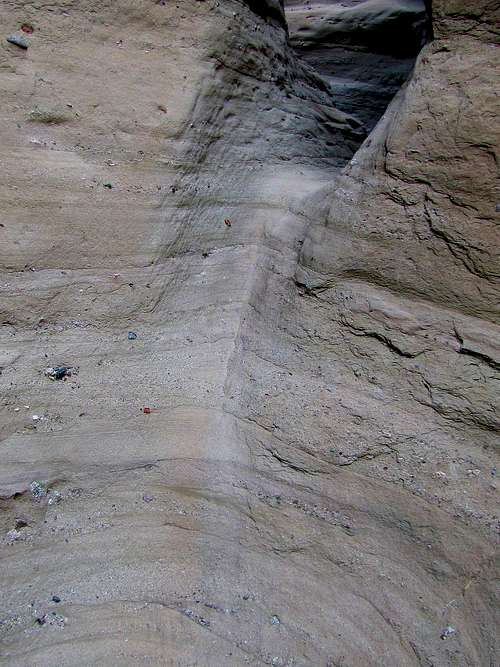
Retrace your steps 100 feet to find this steep slippery slope on the east side of the canyon and climb to the top of it to exit the canyon.
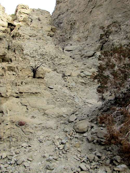 The slope that will get you out of the canyon
Looking back down into the canyon.
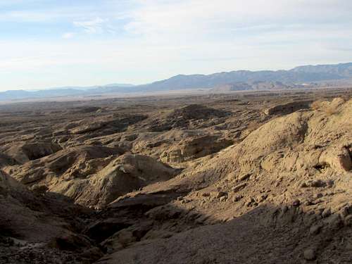
Head east and go up to the top of one ridgeline, down a little and then up another ridgeline to reach the end of the road at the mine. I found a beaten path and cairns guiding me but these may not be a permanent feature. Salton Sea will be well-visible.
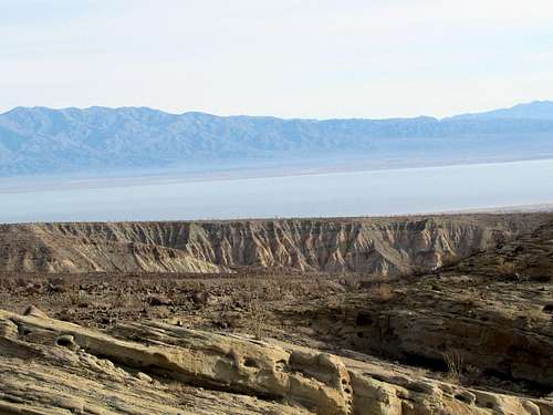 Salton Sea
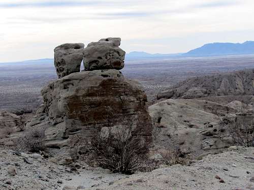
You can look to the southeast to see Point 1122 ft. Follow a beaten path down and then up to the top of Point 1122 ft.
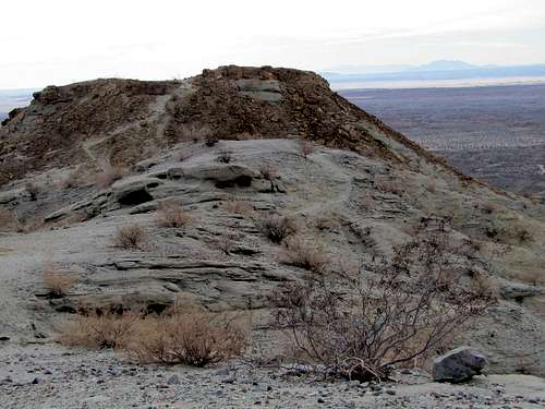 Point 1122 ft
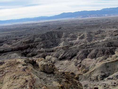
Views from the top of Point 1122 ft.
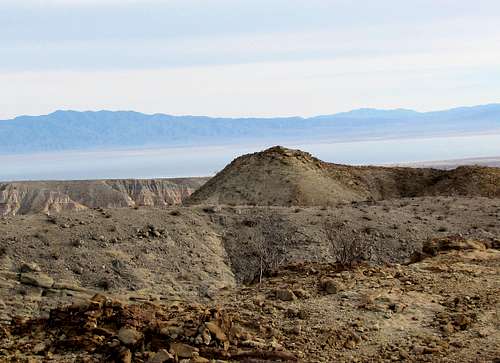 Salton Sea
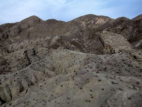 Travelers Peak
You can then hike back to the mine and follow the road back to trailhead. The site linked below mentions that once you reach the canyon, you can leave the road and head south into the canyon but have to be careful to find your way back up to the road at the appropriate spot.
 Point 1122 ft
 Point 1122 ft
When to Hike
Winter, late autumn and early spring. Summer can be dangerously hot.
External Links
http://www.hikespeak.com/trails/calcite-mine-trail-anza-borrego-desert/.
Guidebook: The Anza-Borrego Desert Region by Lowell & Diana Lindsay.