|
|
Mountain/Rock |
|---|---|
|
|
15.48°S / 72.3498°W |
|
|
Hiking |
|
|
Spring, Summer, Fall, Winter |
|
|
12165 ft / 3708 m |
|
|
Overview
Cerro Yanamauras is a recent volcano near the small hamlet of Andagua in a remote corner of Peru. Especially when compared with the nearby giants of the Andes which rise 5500-6425 meters, Cerro Yanamauras is a hill, but is still a worthwhile destination.
These are the top reasons to climb Cerro Yanamauras:
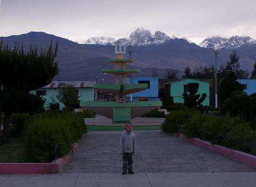
1. The only buses running out of Andagua leave at night. Chances are you will have some time to kill during the day and there isn’t that much to do in Andagua other than see the really nice central plaza, the nicely decorated street heading east towards the bull ring, and to sit around and relax. As towns go, Andagua is as quiet as they come.
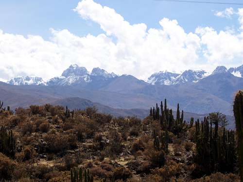
2. There are some great views of the higher and more rugged mountains from the summit as well as views of the towns of Andagua and Chachas.
3. The volcano is new and interesting and sits in what is known as the Valle de los Volcanes and has many small cones all neatly arranged.
There are actually two volcanoes next to each other here. Cerro Yanamauras is the name of the higher of the two volcanoes on the topographic maps, but for some reason some of the locals know the two peaks as the very gringo sounding “Chip” and “Johnson”, though I don’t have any idea where the names came from. Johnson is the higher of the two twins and to the northwest while Chip is to the southeast. More recent maps show Cerro Yanamauras as the northeast volcanoe and Los Mellizos as the soutwest volcano.
The Valle de los Volcanes has been made into a National Reserve. The valley floor is lined up with about 80 volcanoes all along the same fissure and all around 100-300 meters above the valley floor. The volcanoes are only a few thousand or even only a few hundred years old.
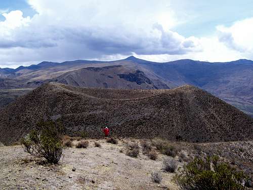 This was taken from the "Johnson" volcano or Cerro Yanamauras looking northeast at the "Chip Volcano" . Johnson is slightly higher, but the two volcanoes are really close in elevation.
Getting There
Theoretically there are two buses a day reaching Andagua (from Arequipa), but there was only one when we were there. Transportes Reyna and Turismo Milagros supposedly each make the trip once a day, but as we found out, this is not always the case. It’s a long 10 hour bumpy and dusty bus ride. Return buses always ridge throughout the night. Dress warm because the bus reaches 5500 meters/18000 feet! If the elevation figures are correct this must be one of the highest bus rides in the world.
Routes Overview
These two volcanoes are really just short hikes and are clearly visible from town, so no detailed directions are really needed.
From the Central Plaza in Andagua, make your way north from this small town on the avenues and trails heading for the volcano on the left.
Lost Mellizos (“Chip”), the southwest volcano
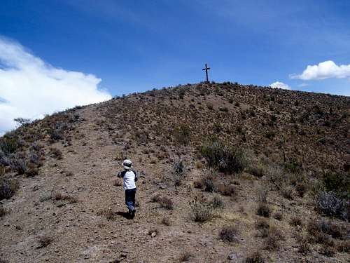
After crossing the aqueduct head up the 4wd road to the SW side of the volcano. A trail goes to the summit and is easy to fine. It’s a steep climb, but not too long. The crater is very distinct and there is a cross on top.
Los Mellizos (“Johnson”), the northeast volcano
If you climbed Chip, either head back the trail you came up and south to the aqueduct and around to the southwest side of “Johnson”. You can also head north from the beginning of the “Chip” trail, around the north side of Chip and to the southwest side of Johnson. Either way, make sure to climb Johnson from a track on the southwest side. Look carefully for the trail. The trail leads to the summit and is marked with a cross.
Both climbs must be done from the trails on the southwest side of either volcano because of all the cactus and thorny vegetation.
Climbing both volcanoes is a nice half day outing and with great views of the rugged mountains and many volcanic cones.
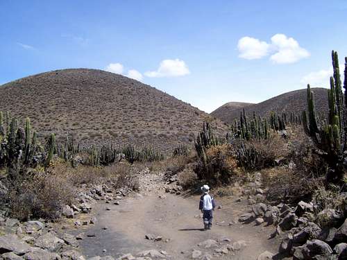 Approaching Cerro Yanamauras from the south. "Chip" is the volcano on the left. "Johnson" is the volcano on the right. Johnson is the higher of the two summits.
Red Tape
There is no red tape.
Camping
You could camp at Andagua but hotels are so cheap in Peru that it’s pretty pointless.
When to Climb
This is a dry area, so the peak can be climbed year round, though some times may be more ideal than others. Mid April through October is considered the ideal time to climb the peaks with normally good weather, but these climbs are short and easy so the weather isn’t too much of a factor. They should be fine to climb year round. In fact during the "rainy" season the views of the higher peaks may be more impressive since they are snowcapped.
There are no weather forecast links to this region.


